slot canyon @en
now browsing by tag
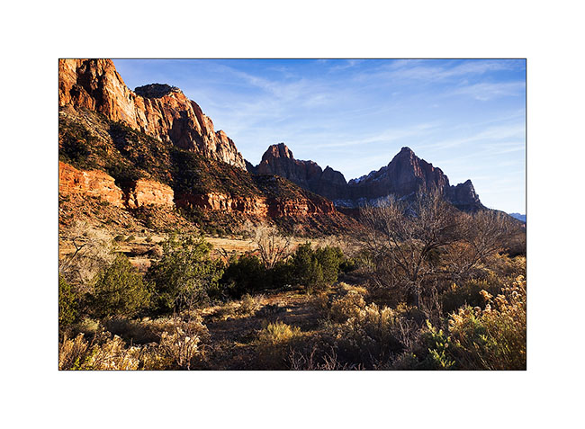
Zion National Park…
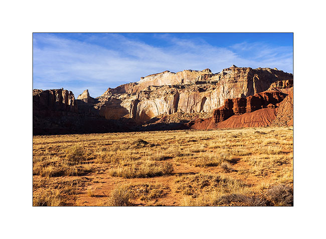
While I’ve been in Utah a few times, I had never gone through Zion yet. The upper third of these mountains consists of Navajo Sandstone. It is a very touristy place and I took advantage of the off-season to discover it.
1. Going up in Zion Canyon, accessible by a paved road.
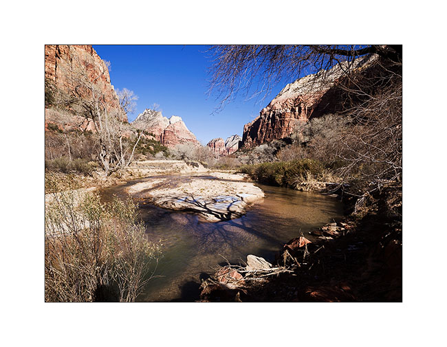
2. Cottonwoods don’t have leaves anymore in this season.
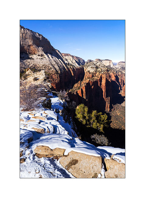
3. Angel Landing. For those who know it, climbing this edge while rock is covered with snow and ice is quite… well… aerial! 😉 I must say that there are a few hundred feet of emptyness on each side and that certain passages are not more than five feet wide.
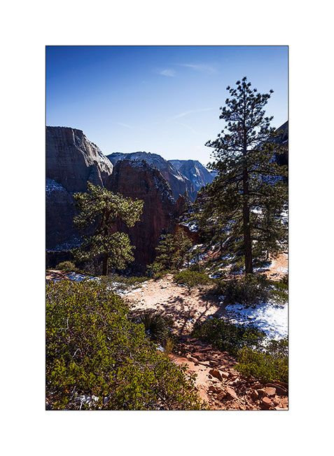
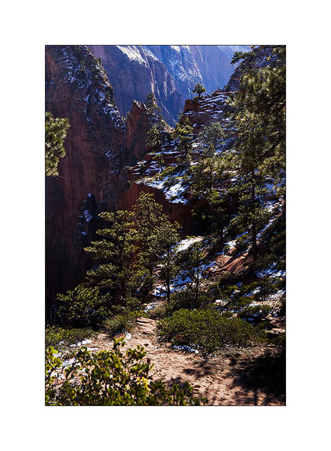
4. Hiking the West Rim trail…
5. Top left, the edge by which one accesses Angel Landing.
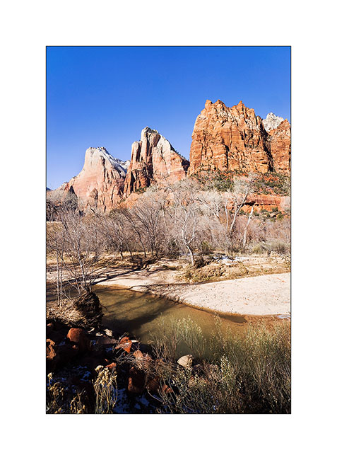
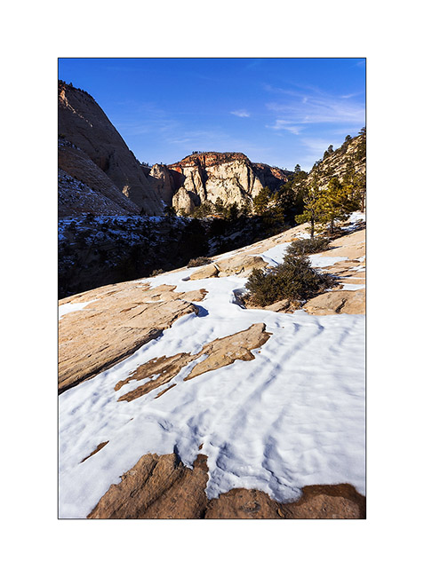
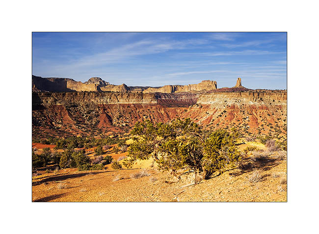
6. Reaching Navajo sandstone in characteristic light color.
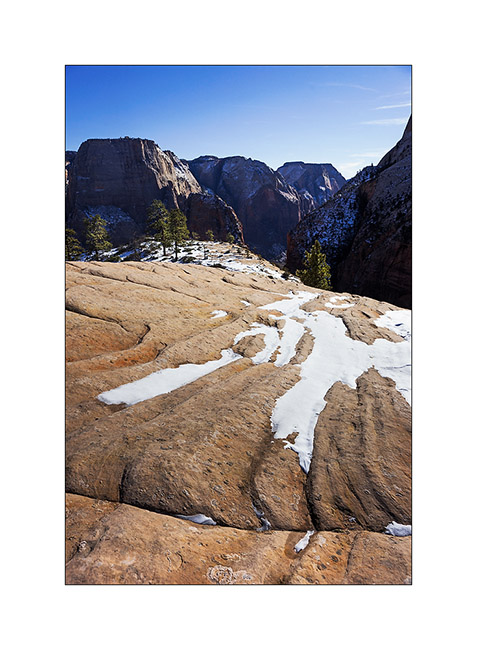
7. Toward South…
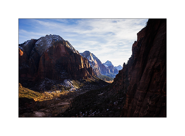
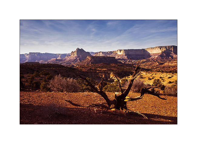
8. Lower Zion Canyon in late afternoon.
9. From my camp… 😀
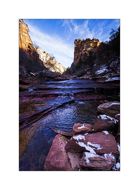
The next morning, after obtaining the required permit because the hike is quite engaged, I went for a long hik of about 14 miles. Rather than hiking, I should say a gymkhana! Except for the first two miles, it’s going upstream in a torrent crowling large blocks, constantly going up and down, crossing fifteen times the water at 37F, skating on snow and ice, without any sun… In short, something not to recommend to anyone, especially in this season. Moreover, the ranger looked at me with surprised eyes when I asked him for the permit, saying: “Do you really want to go ther in this season?”. 😀
Why this hike you might think. To exploreng a rather exceptional slot canyon, the “Subway” as it’s called.
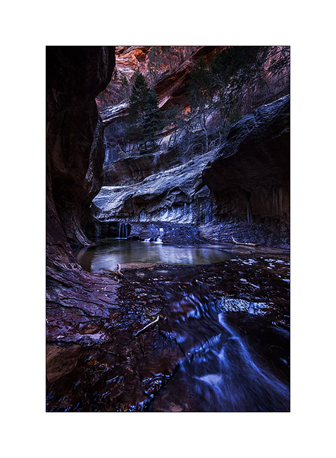
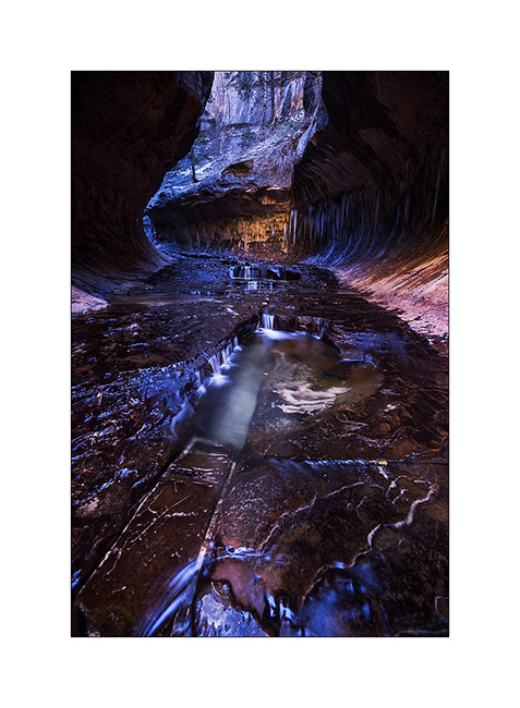
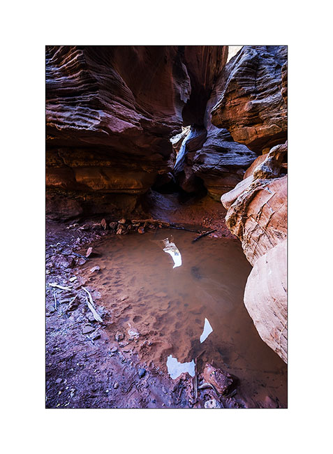
10. While there is still about 2 miles to go, the canyon is still open and small waterfalls jump down rock stairs.
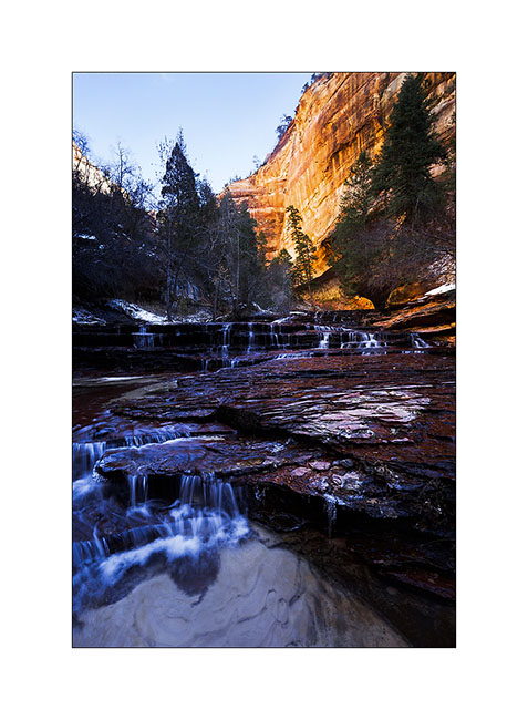
11. The most photographed waterfall, less than 1 mile down the slot canyon.
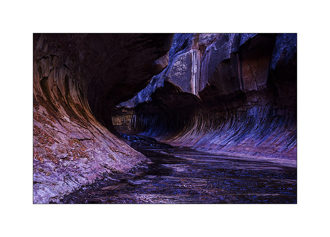
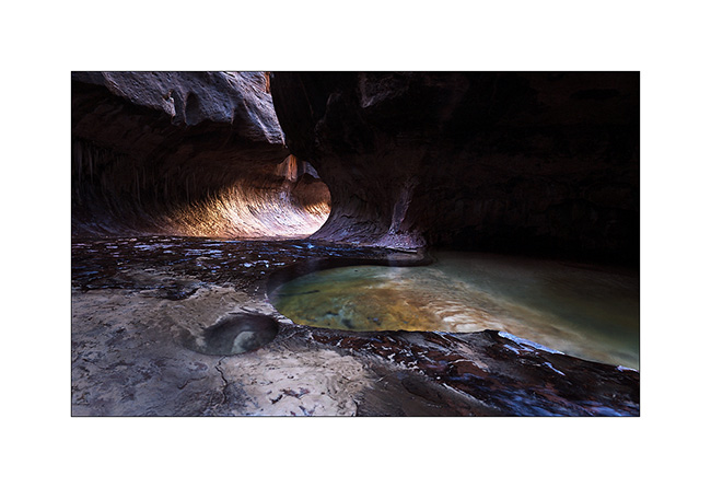
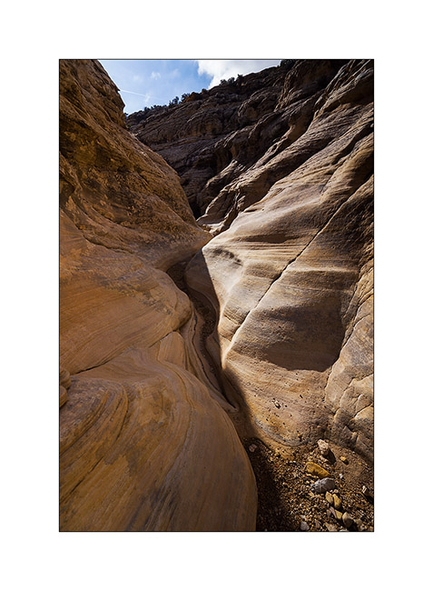
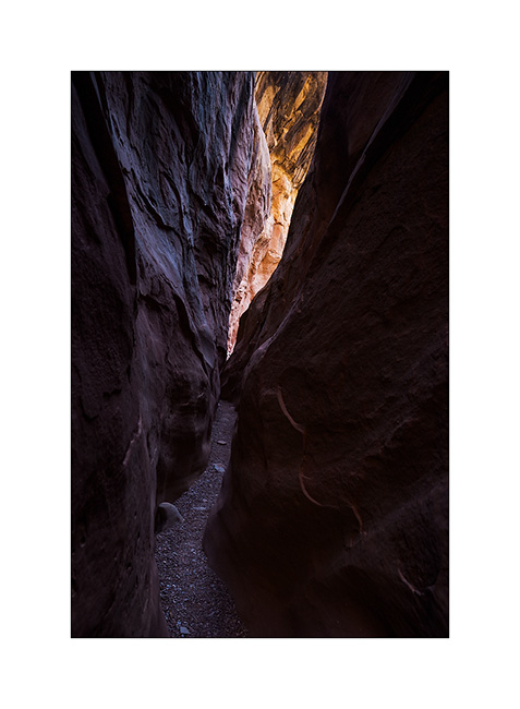
12. Here is the entrance of the slot canyon with its characteristic form that earned it its name.
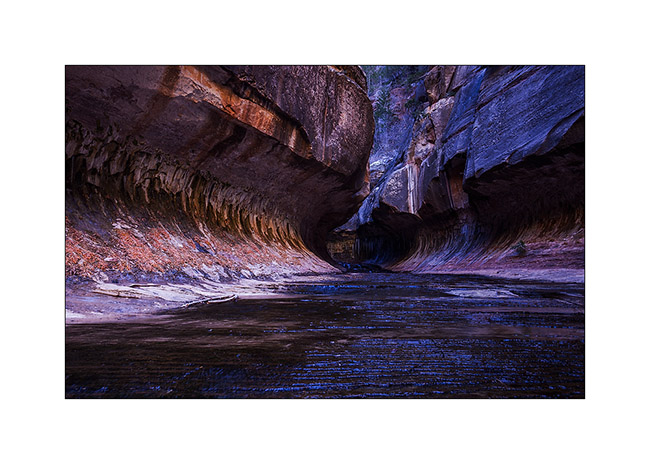
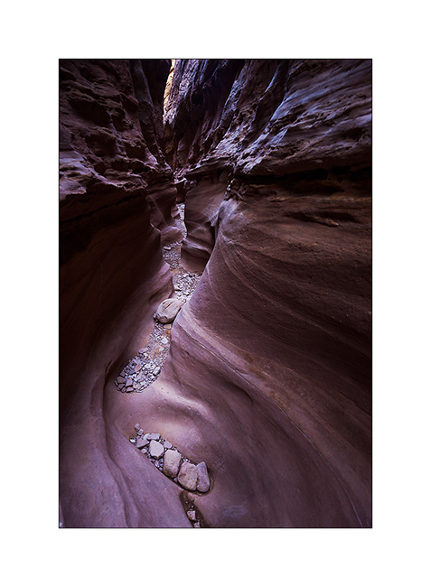
13. Floods of the river dug a kind of tube-shaped hose.
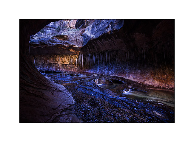
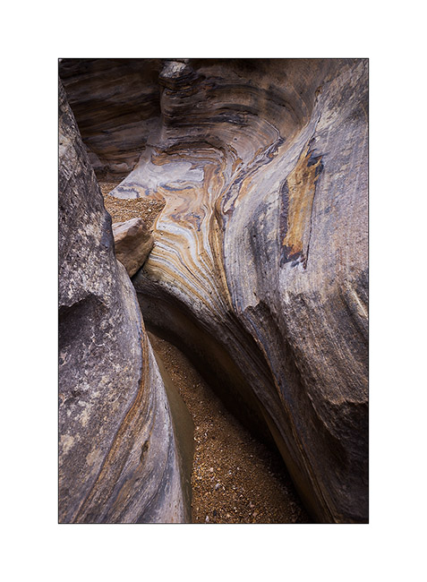
14. The “turning” from downstream.
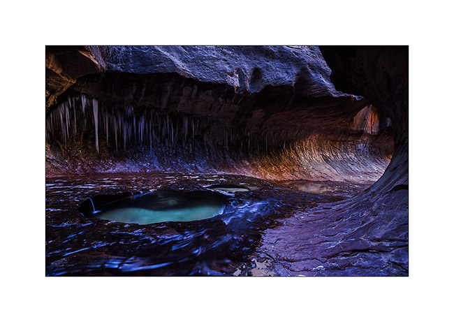
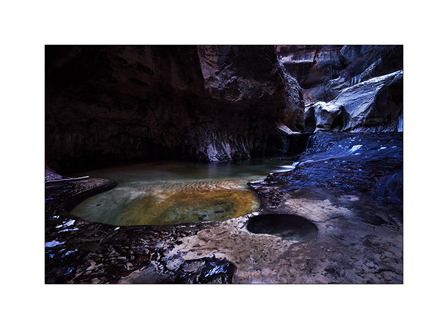
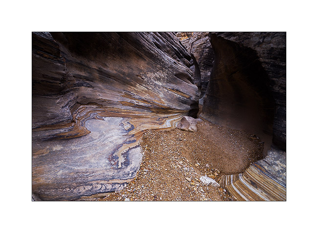
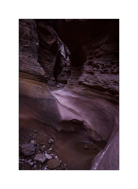
15. Small waterfalls dug a series of pots where the water is emerald.
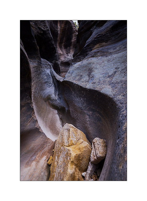
16. Above, the canyon reopens before closing again. It requires climbing equipment to continue.
17. Beautiful pots.
18. The turning from upstream.
19. Coming out of this incomparable canyon…
That’s it for today! 😉
To be followed in some days…
McKay Flat & Reds Canyon
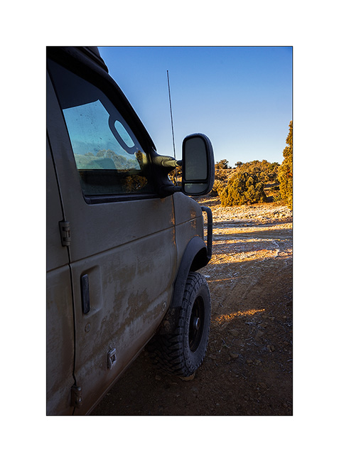
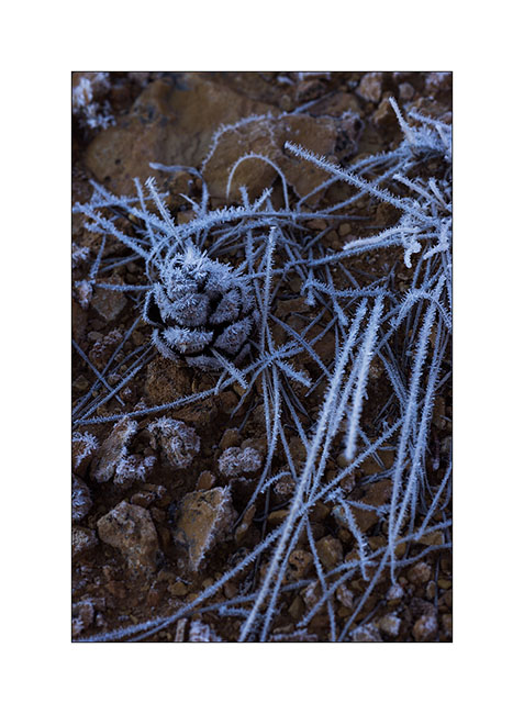
1. The night was clear and at this altitude, the frost covers everything including VivaLaVida.
2. In exposed areas, ice crystals are huge!
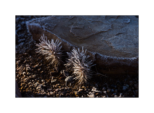
3. Even cactus appear to wear Christmas dress… 😉
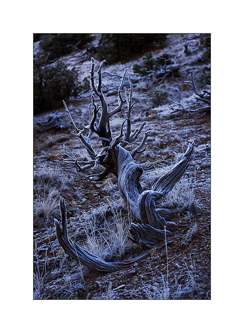
4. This old juniper trunk looks almost like antlers.
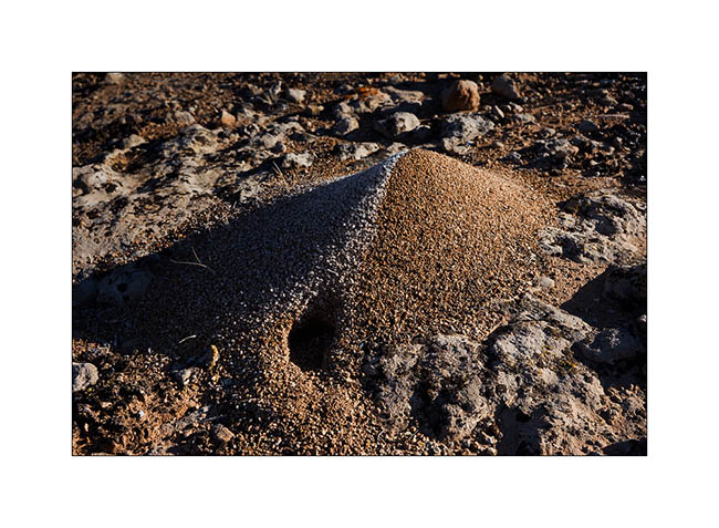
5. This anthill is an evident good insulation.
6. After two hours hiking, I arrived at the entrance of Baptist Draw, a little-known slot canyon. While above it is an open canyon, it suddenly changes in this thin crack…
7. … that sinks ever deeper…
8. … sometimes with a larger pot…
9. … and again some jumps and small waterfalls.
10. It’s a special atmosphere to be alone, isolated in such a corridor, I recommend it! 😀
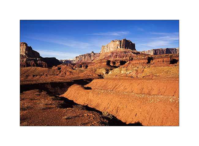
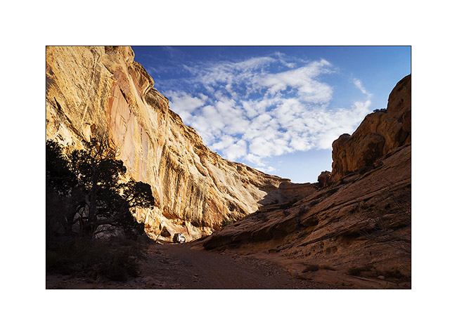
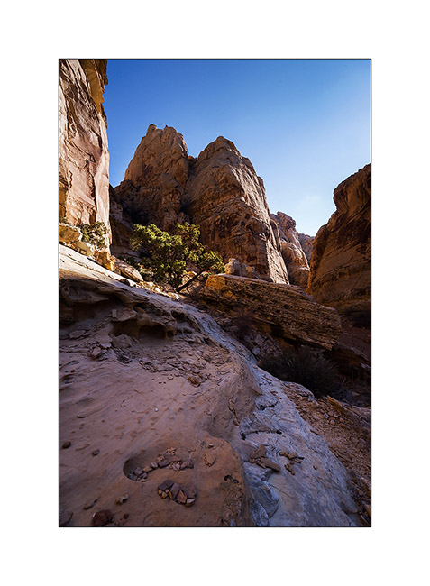
11. Intrigued by the heights of Reds Canyon I had spotted the previous day, I continued south for exploring this little known canyon too. Dug by the Muddy Creek, it is huge canyon, comparable to Canyonsland by the height of the cliffs.
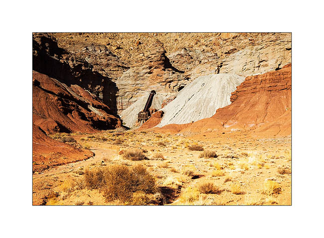
12. At Tomsich Butte, there are several uranium mines that have been oparated until the mid 50s.
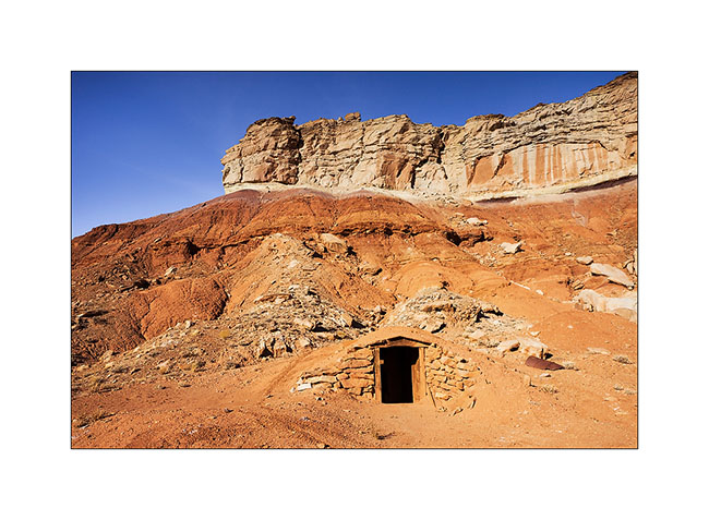
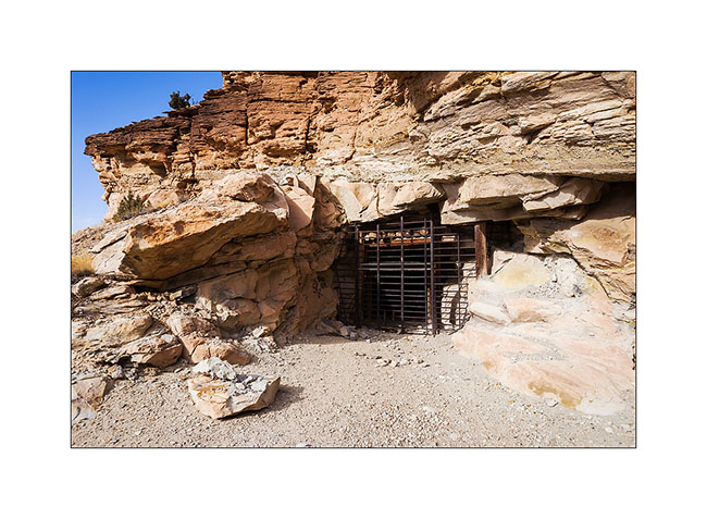
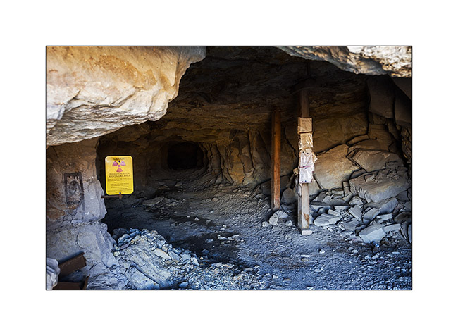
13. I even discovered that curious shelter. I learned afterwards that it was the dynamite deposit of the mine!
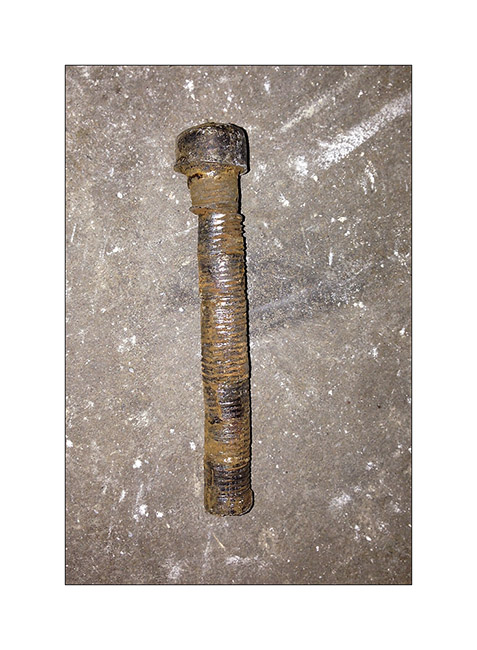
Taking a look at the front axle, I discovered that the right wheel was again quite backward. In fact, everything moved and the axle was misaligned. Blame it on the right suspension of which the centering pin broke.
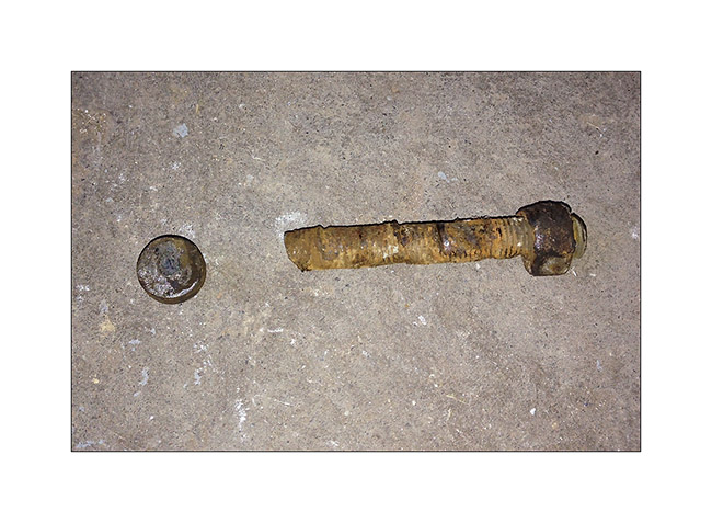
I couldn’t ride like that, so I had to mechanic for more than three hours under VLV, separating the axle of the spring with two jacks for inserting a bolt as temporary guide. Over one and a half hour to loosen four seized bolts, pulling on the handle of the hi-lift jack lever to achieve this; I so hurted my back …: – / But finaly, VLV was able to continue his way and hang gently until a more serious repair by replacing the broken pin. I then also removed the other side and I did well: the pin was also about to break.
It’s crazy what dirt raods hurts all running gear..!
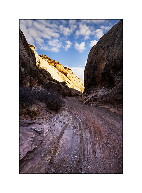
14. Going up Reds Canyon, the scenery is gorgeous. Don’t they look like cathedrals porches carved in these huge cliffs?
15. In the upper canyon, about twenty miles away, they are some spectacular buttes.
16. Last look before returning to Moab to fix my broken suspension…
So much for today, hoping you’re not getting too bored with all these canyons! Thanks again for your loyalty. 😉
San Rafael Swell
Continuation of discovering this region less known and yet not far from Moab.
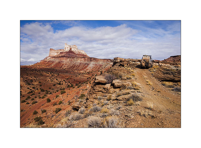
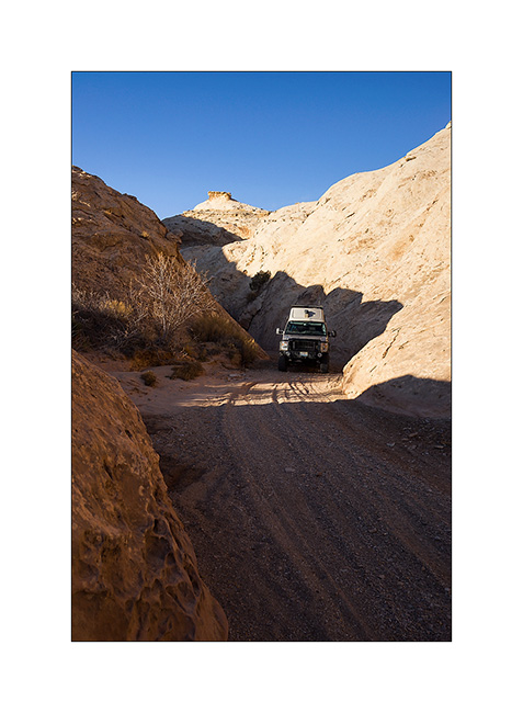
1. VivaLaVida on a little-used trail that circumvents Temple Mountain.
2. They are many old uranium mines in the area.
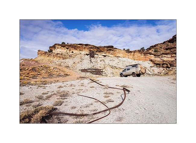
3. They are of course closed.
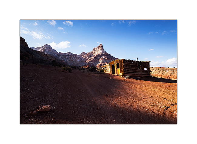
4. On the other side of Temple Mountain remains the “cabin” which housed miners.
5. Mining access corridor.
6. VivaLaVida going down the beautiful North Temple Wash…
7. … driving in the course of the wash.
8. The output is a little narrow.
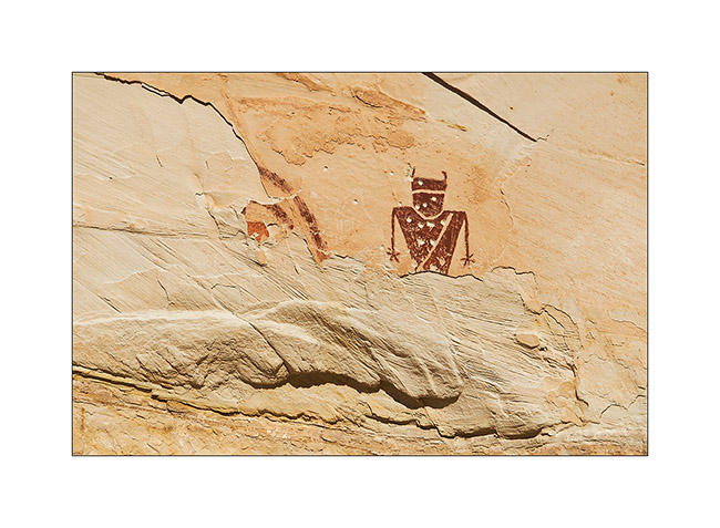
9. Splendid petrograph panel in the South Temple Wash.
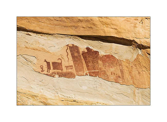
10. The white dots are not of the same time, just a idiot who shot this exceptional site… The weapons are all over the US, unfortunately.
11. Going to the mouth of another canyon that I will explore the next day, I discovered a source…
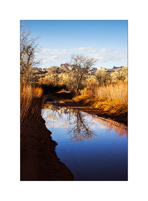
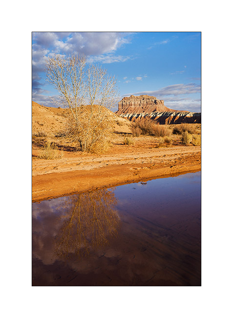
12. Late afternoon reflection…
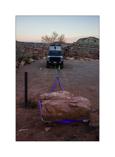
13. Having discovered that the bolts that connect the front axle with suspension springs were loose, I had to make some winching to realign the front axle before tightening… 😉
The next day I made a big hiking loop, up Little Wild Horse Canyon and back down through Bell Canyon.
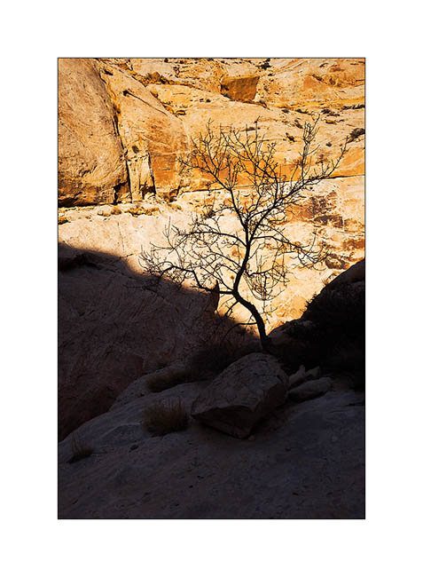
14. Silhouette…
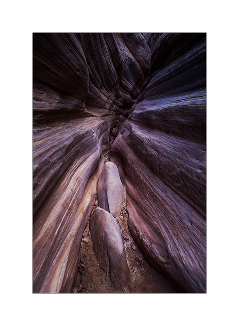
15. Entering Little Wild Horse slot canyon.
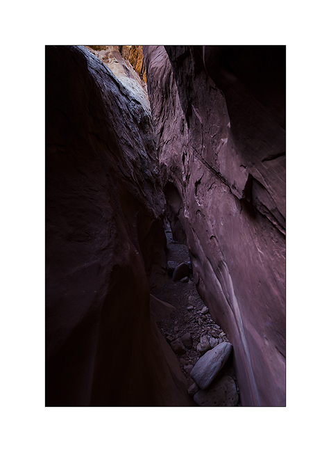
16. End and deep trench in which we sometimes have to go sideways as it’s so narrow.
17. Some water remains in places.
18. I imagine water flowing into these curves…
19. Labyrinth…
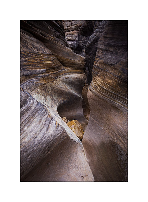
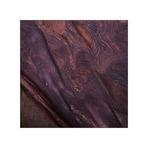
20. Some veining of sandstone are incredible.
21. Going down through Bell Canyon
22. Convergence…
23. Oui, it’s the right way! 😉

After this hike, I discovered by chance a nice area that I will present soon. 😀