Alps
now browsing by tag
Devoluy (2)
While preparing our exploration of the Dévoluy massif, I spotted several “chourum” – the local name for sinkholes, these limestone cavities sometimes forming caves – and we decided to go and discover one.
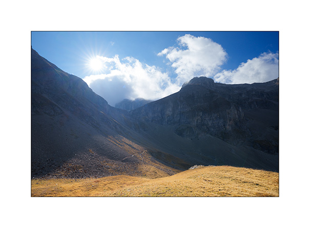
1. Going up from our camp…
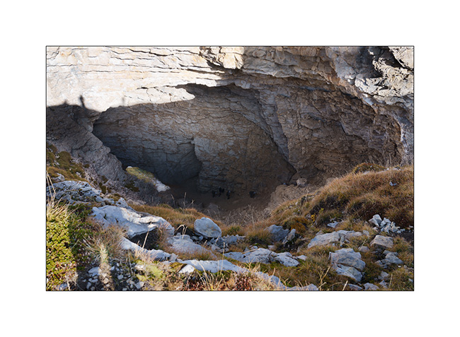
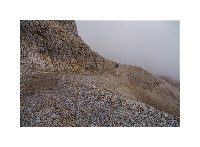
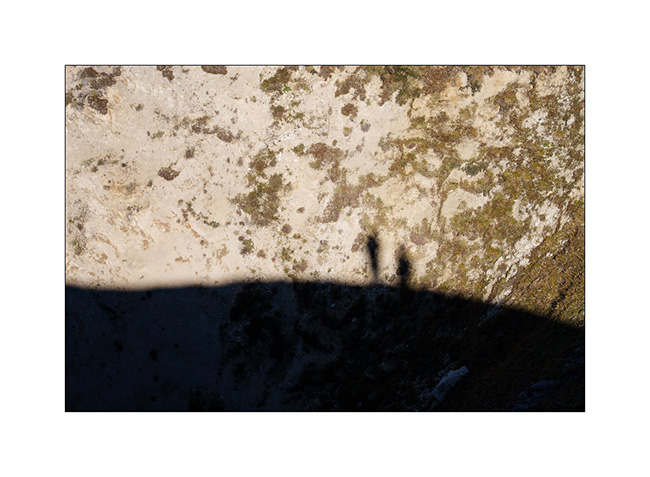
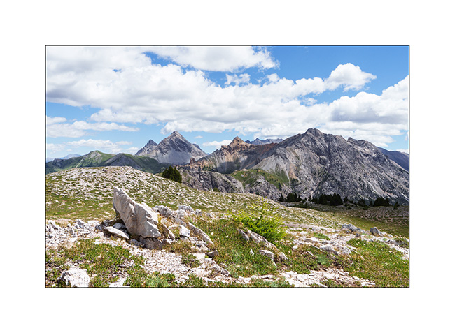
2. Arrival at the Chourum of the Heroic Crossing from above. A group of mountain troops in training is climbing it, little black dots which give a sense of the scale of this vast chimney.
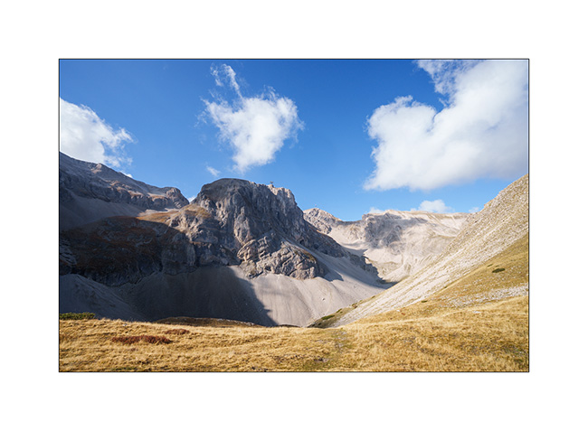
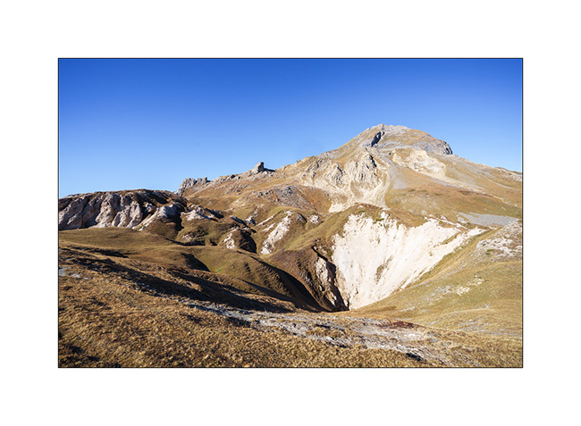
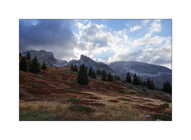
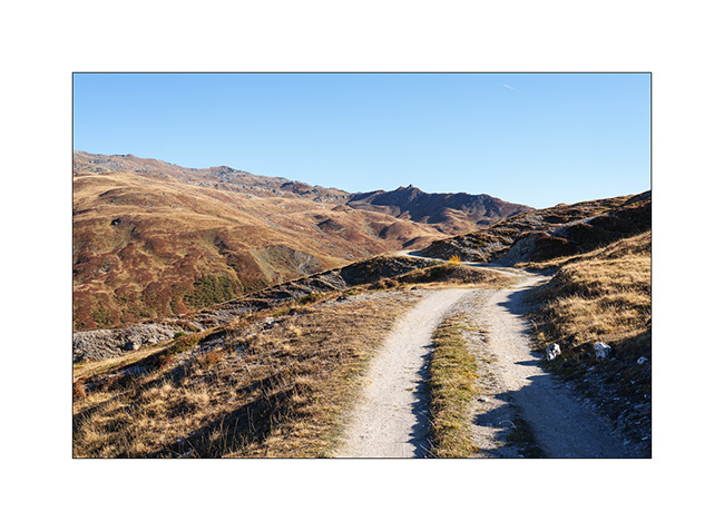
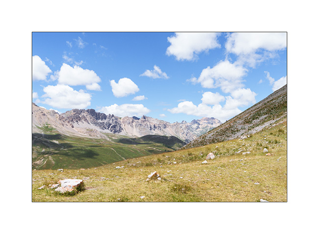
3. On the descent back towards VivaLaVida, looking up towards the Bure Plateau.
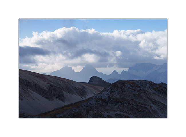
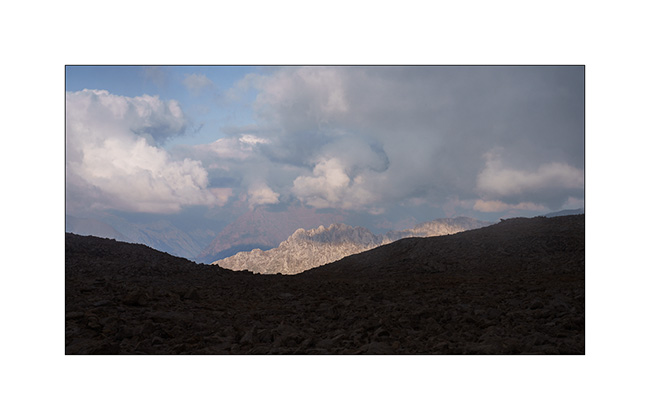
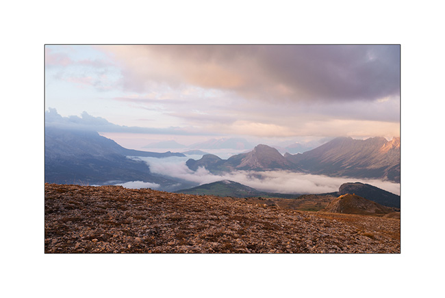
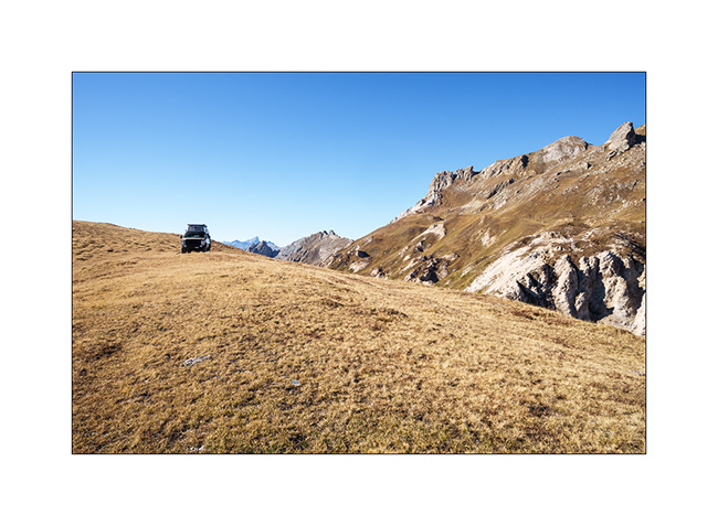
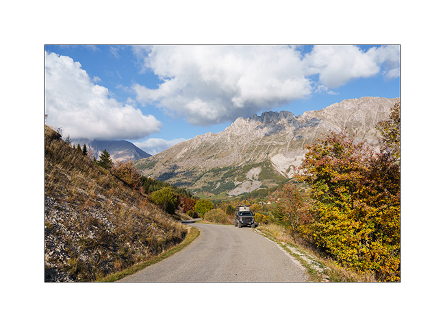
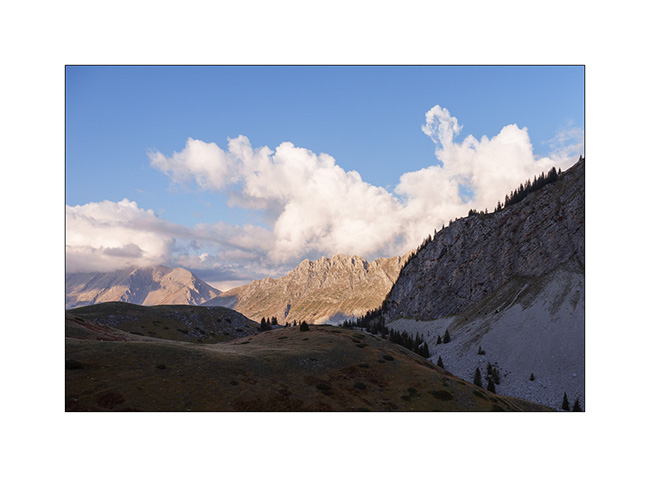
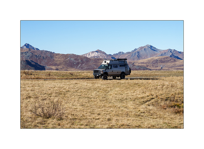
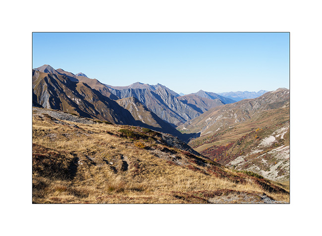
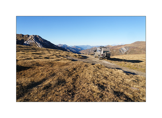
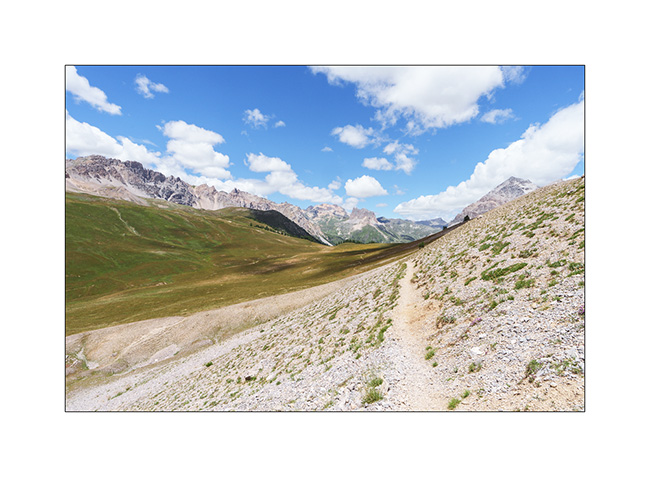
4. In the afternoon, we drive in VLV above the Super-Devoluy resort to get closer to Bure Plateau. The view opens up to the surrounding mountains.
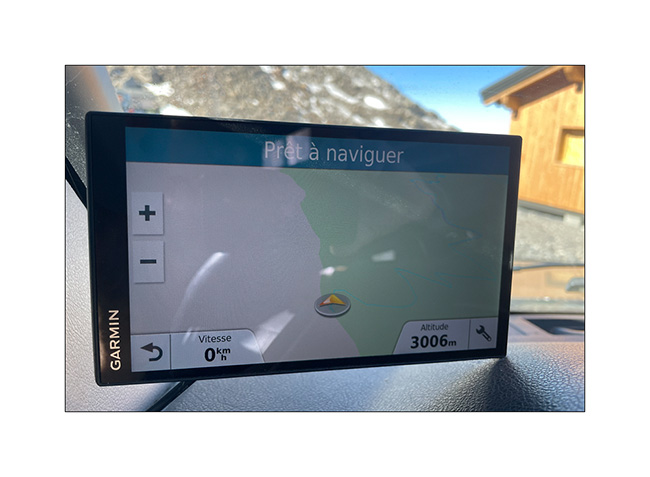
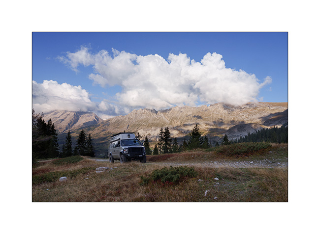
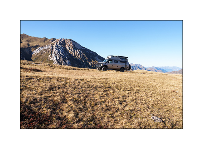
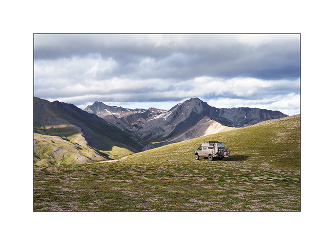
5. VivaLaVida at the end of the road, at about 8,200 feet elevation.
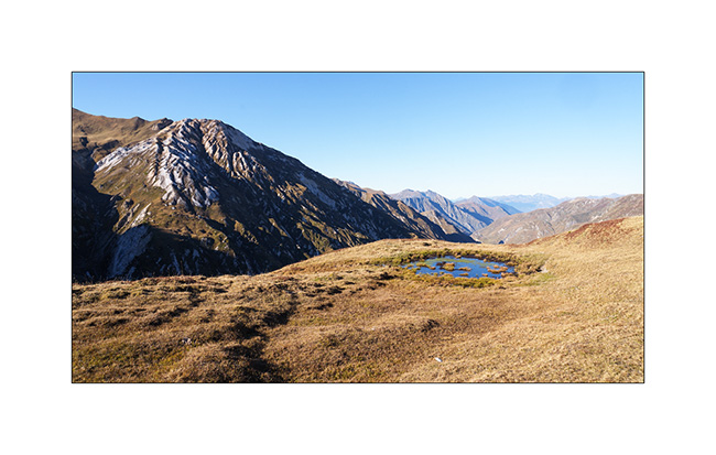
6. The clouds are starting to gather but we still attempt to pass through “the Window” to discover the interferometer on the Bure Plateau.
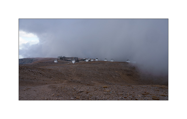
7. After a short hour’s walk, a few breaks in the fog give us a glimpse of the site. Located at an altitude of 8,350 feet, the interferometer consists of 11 large-diameter parabolic antennas working together; it is the largest installation of its kind in Europe.
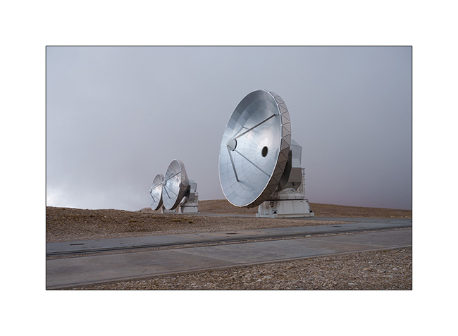
8. The scientists who work here in four-month shifts are particularly isolated during the winter, sometimes drawing comparisons to the missions of scientists in Antarctica. Only a private cable car serves the plateau, which suffered a serious accident in 1999 when the haul rope broke, killing 20 people.
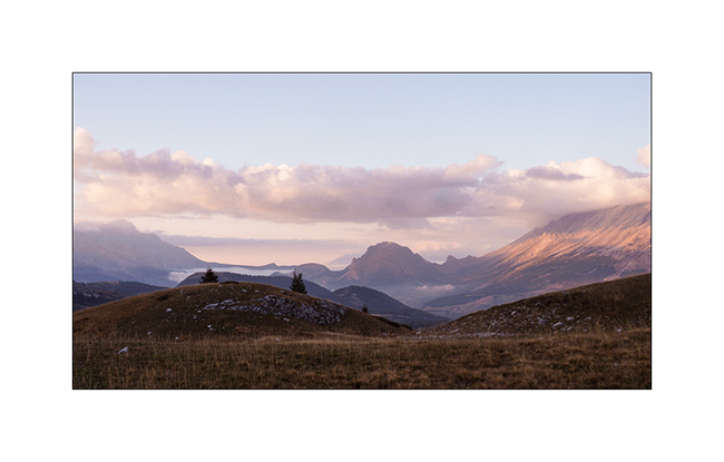
9. We descend to about 6,500 feet to spend our last night of the holiday in VLV. The view is gorgeous.
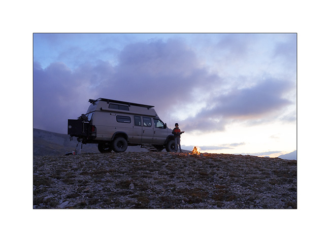
10. Last dream campsite.

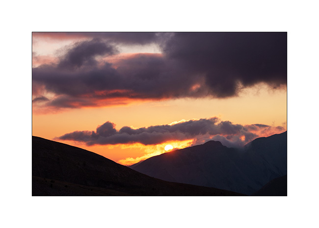
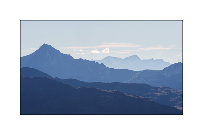
11. Sun is setting…
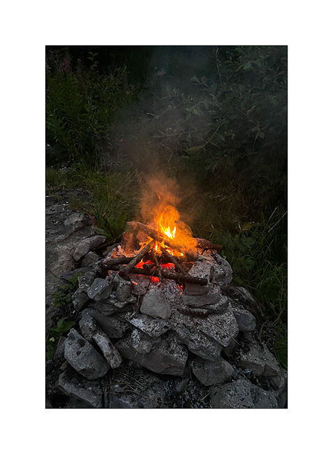
12. … and we make a final campfire to cook our supper.
13. This twilight concludes the story of VLV’s wanderings in the year 2025.
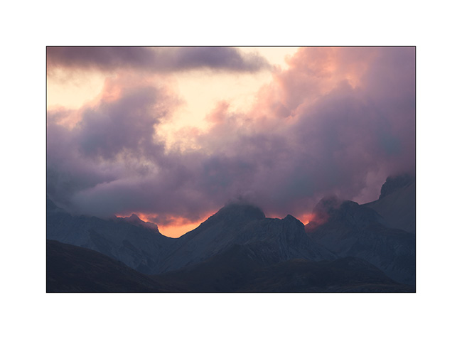
Thank you all for continuing to follow this little blog in such large numbers. It ends here for 2025 but will resume next summer with new discoveries… 🙂
Autumnal Savoy (2) and Devoluy (1)
First of all, Happy New Year 2026 to you all !! 😀 May it hold many adventures and wonderful discoveries!
I continue the story. Still at the Col des Encombres the next morning..
1. Large sinkhole.
2. We’re going to discover it…
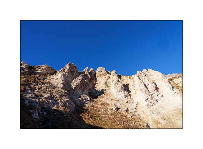
3. Erosion…
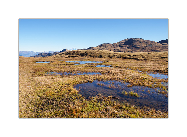
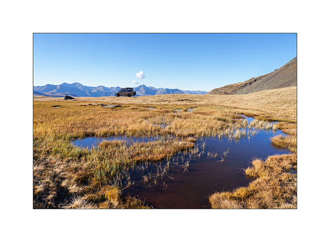
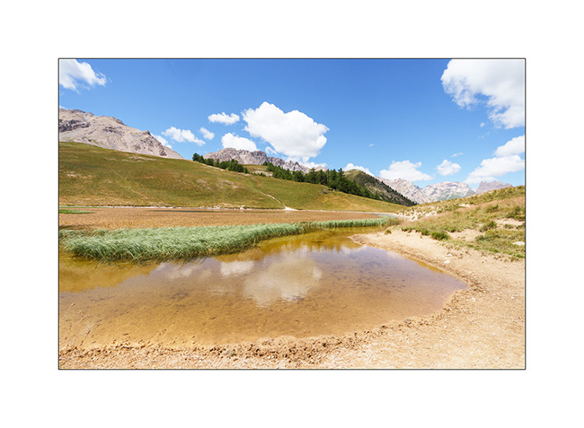
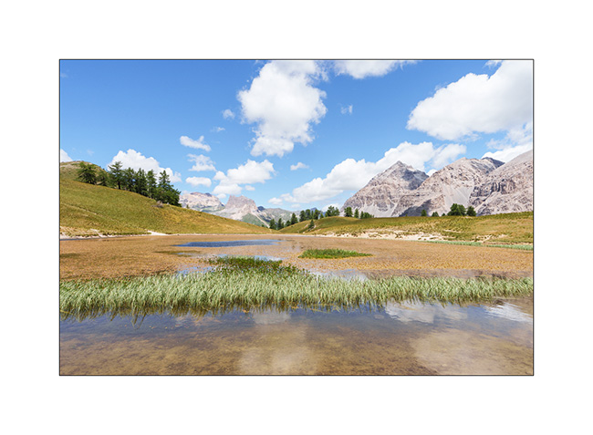
4. Below our bivouac, an alpine marsh.
5. We go back towards VLV before breaking camp.
6. Going down the valley…
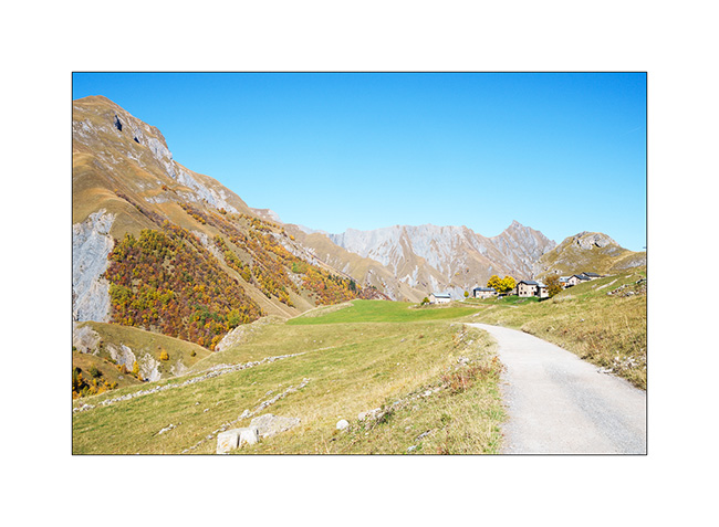
7. We go sleeping not far from where we were two nights ago, above Les Menuires..
8. Campfire…
9. We try to cross to Orelle via the Brèche de Rosaël but at 9,850 feet, the snow forces us to turn back. Without the snow chains left at home, we would have taken too many risks.
10. We then take the road to Devoluy, South of Grenoble.
11. Ascent to the Refuge of Vallon d’Anes.
12. From our boondocking spot.
13. Sunset…
14. Dusk…
That’s it for today. There will be another article about these autumn holidays. 😉
Autumnal Savoie…
While Emile spends the first week of his fall holidays with me, we go to Savoie for a few days in VivaLaVida to enjoy the fall colours already present at altitude.
1. Mountains of Tarentaise, above Meribel.
2. From the Pass of Tougnète where we spend the first night, view of the Aiguille du Fruit.
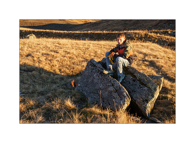
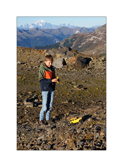
3. Emile drives offroad! 🙂
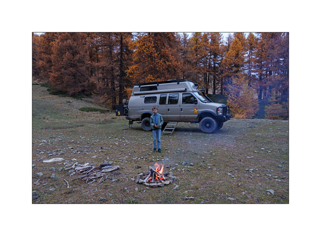
4. Our first bivouac at almost 8,000 feet with a lovely campfire.
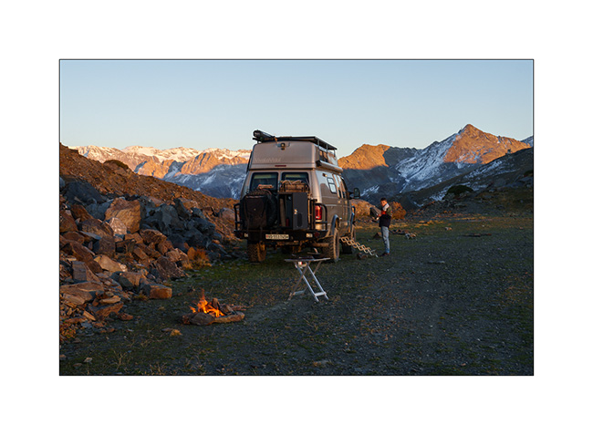
5. The sun bows out in a cloudless sky.

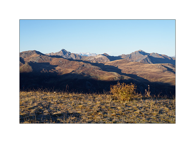
6. Waking up to a sky as clear as the day before.
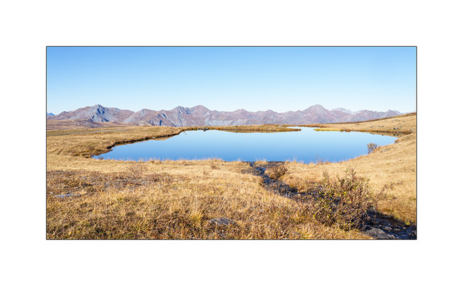
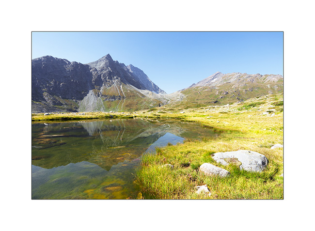
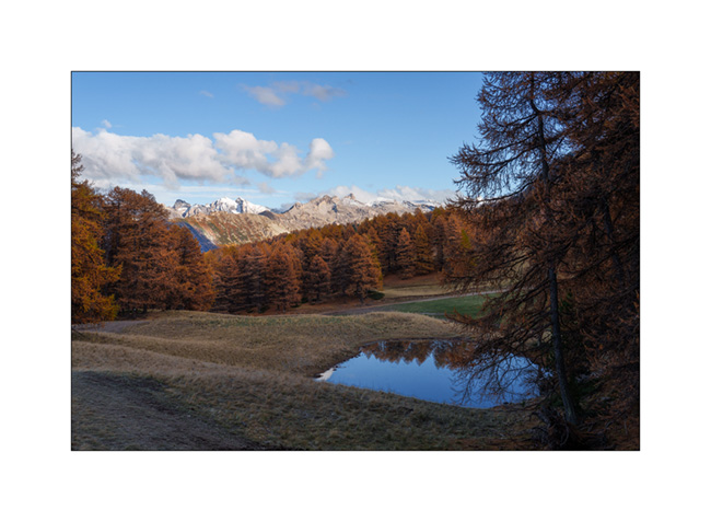
7. Small lake called “Large Lake” above Levassaix.
8. The mountain has already donned its fall hues.
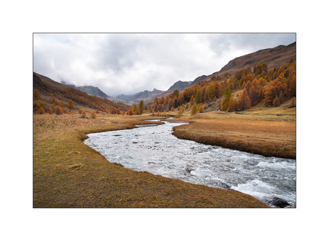
9. We go discovering the Val des Encombres, with the hope of reaching the Maurienne Valley via the pass of the same name.
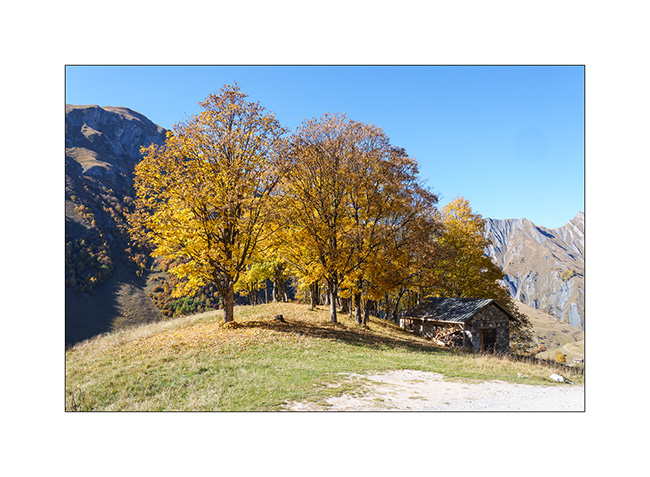
10. It is a gorgeous rather wild valley where only the hamlet of Bourtacombe, a few mountain pastures or herds embody human presence. It is unfortunately disfigured by a high-voltage line which crosses it from top to bottom and which I try to hide in my frames.
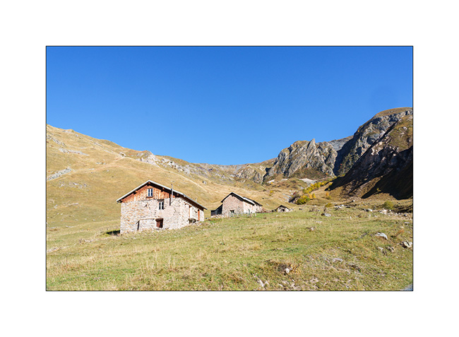
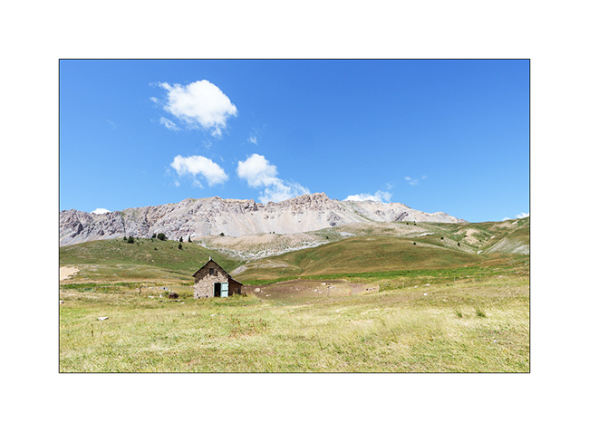
11. Alpine pasture of the Cariots,
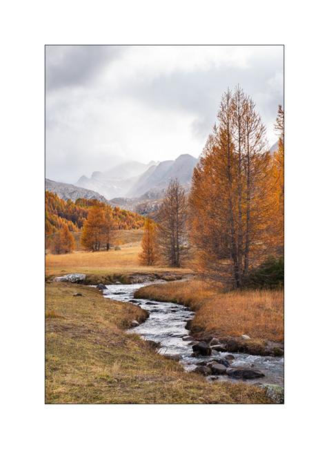
12. The trail rises in the upper valley.
13. View of the valley already driven.
14. VivaLaVida on the trail.
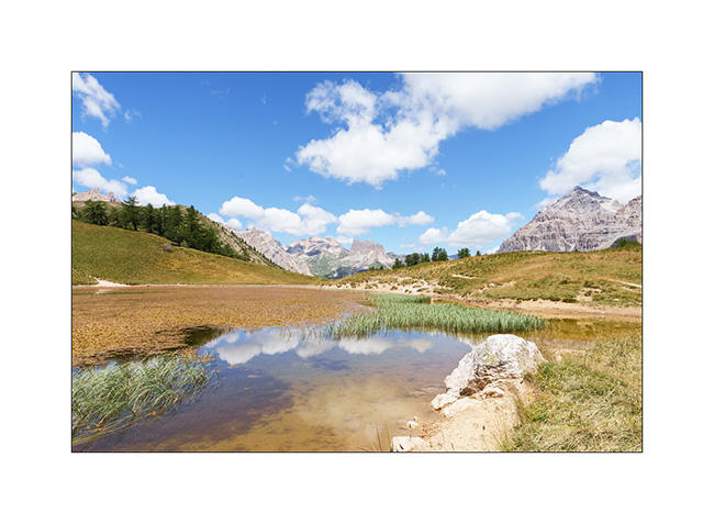
15. Altitude marsh.
16. Arriving at the pass, at an altitude of 7,800 feet, we notice that the descent to the Maurienne Valley is impassable. While the beginning of the trail would be passable, this is not the case further down, where it has partially collapsed on an unstable slope, leaving only a quad path, far too narrow for VLV. Moreover, a recently posted sign prohibits access from the pass to any motorized vehicle.
We therefore turn back to a boondocking spot we spotted on the way up.
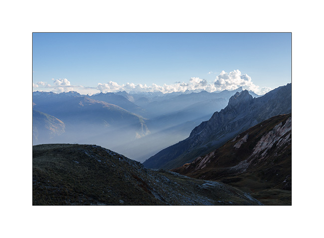
17. View of the Maurienne from the Petit Col des Encombres.
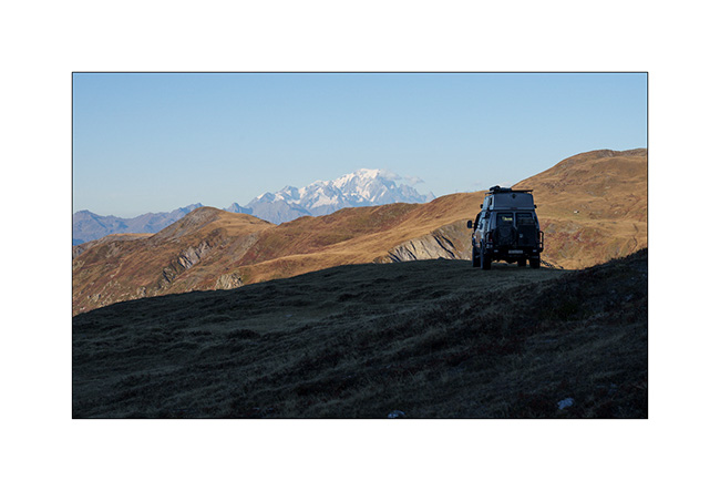
18. Our bivouac, with the Mont Blanc – the highest mountain in Europe – in the background.
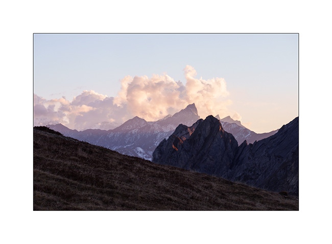
19. Soft light at sunset…
I take this opportunity to wish you all a wonderful Christmas and a very happy 2026! See you here next year. 😉
Valais : Herens Valley, Thyon, Bagnes Valley and Otemma Glacier
After my two days in the Anniviers Valley, I change valleys and join the Herens Valley.
I sleep in Arolla and decide to go up to Mont Dolin the next morning, which peaks just below 10,000 feet elevation.
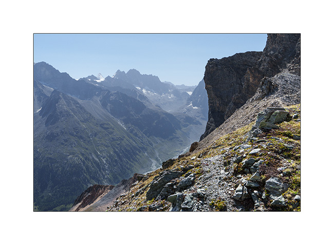
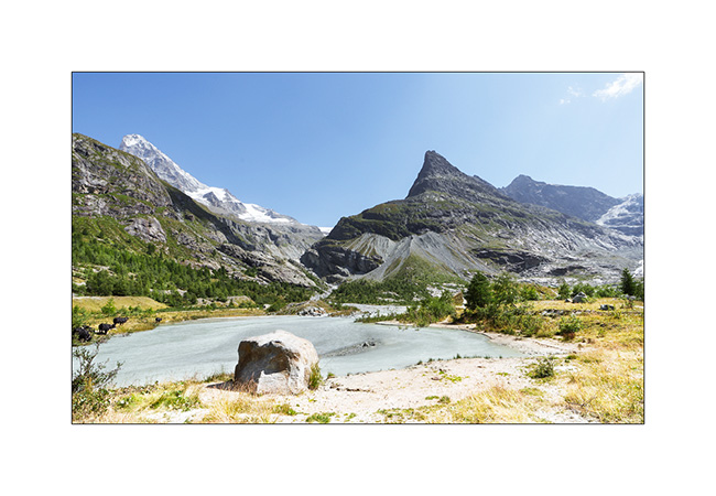
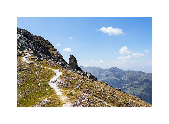
1. Break below the Riedmatten Pass, after 2,300 feet of altitude gain.
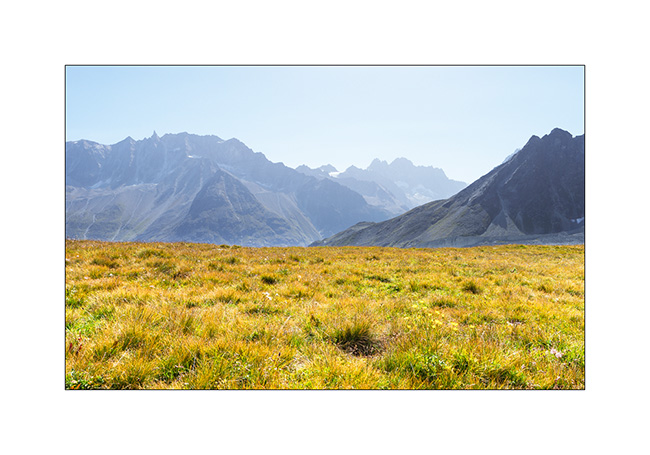
2. At the Forclette Pass, just below Mont Dolin, with the Bertol Teeth in the background..
3. In the afternoon, I go up to Ferpecle which I haven’t visited for a long time….
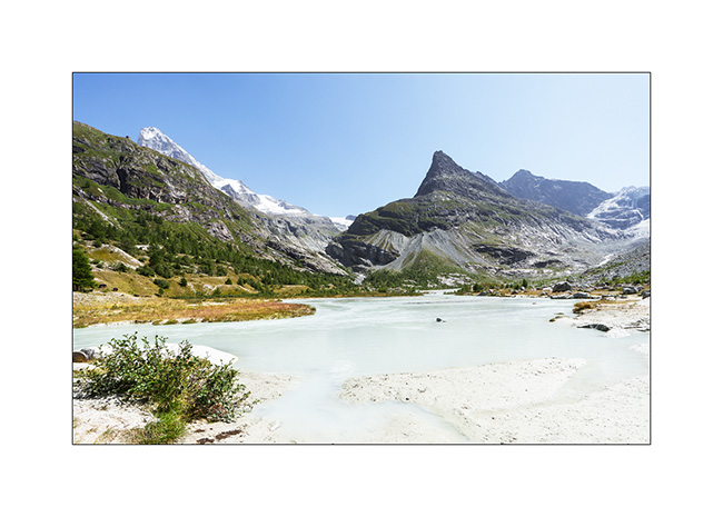
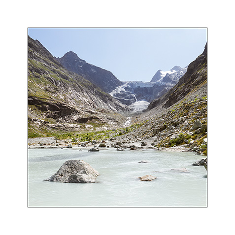
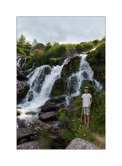
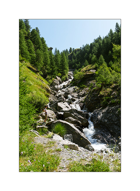
4. An impressive waterfall flows from the Mont Miné Glacier, attesting to the heavy melting this summer.
5. This small gravel bar formed by the Ferpecle dam is truly photogenic!
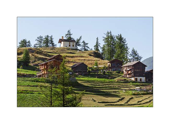
6. On the way back down to La Sage where I left VivaLaVida, the hamlet of Seppec.

7. La Sage in late afternoon.
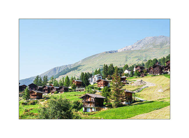
8. Its chapel.
9. I sleep on the banks of the Borgne River, in peace and quiet…
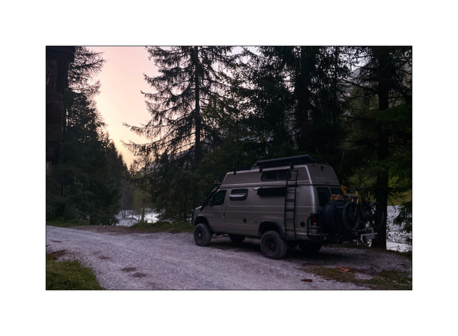
10. … and enjoy a picnic spot to make a campfire.
11. The next morning, I climb to Thyon 2000 with VLV, then to Grepon Blanc by mountain bike. The last few yards are done on foot..
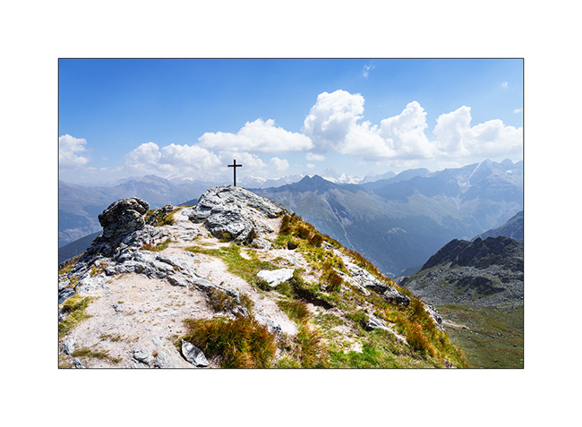
12. Summit of Grepon Blanc with a view of the surrounding 13,000 ft peaks.
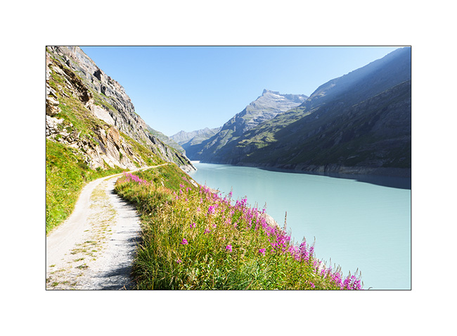
13. At the end of the day, I break camp and head up to the Bagnes Valley. The next day, I set off by bike from Bonatchiesse to reach the Chanrion refuge. I follow the shores of Lake Mauvoisin.
14. Under the refuge, an unnamed pond…
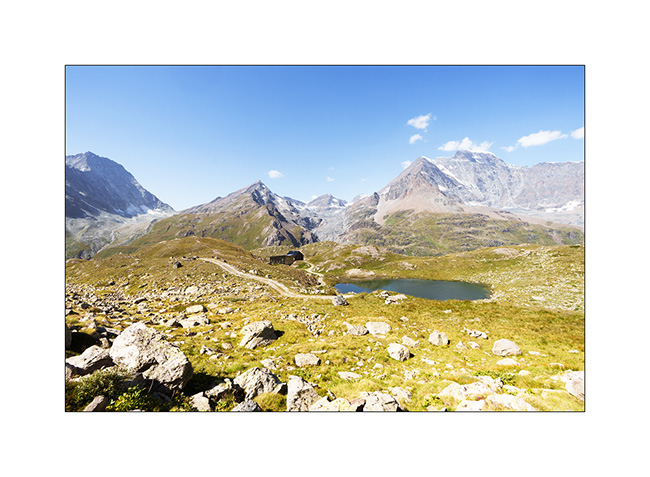
15. The Chanrion refuge with, in the background on the right, the summit of the Grand Combin.
16. As I go back down, I notice a small road leading south. I decide to go and explore it.
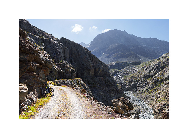
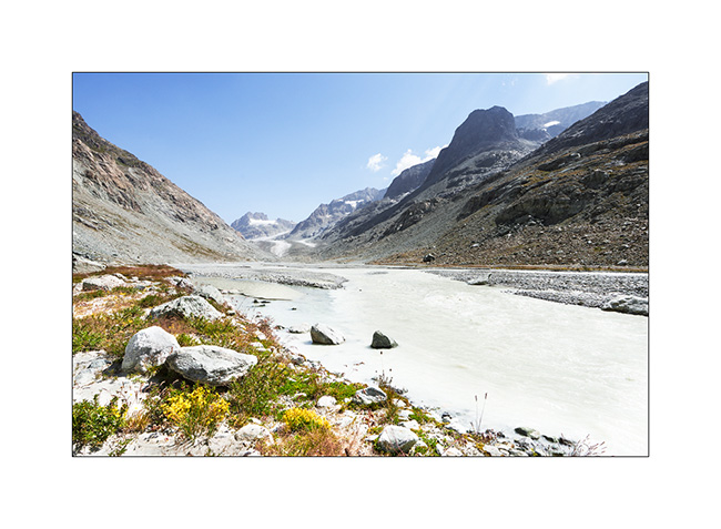
17. It leads to a water intake on the Dranse de Bagnes. I leave my bike there and continue on foot to discover the splendid Otemma Valley and the glacier of the same name.
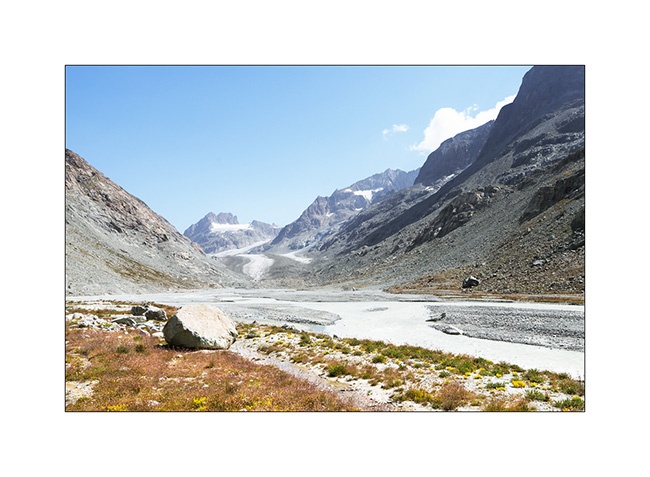
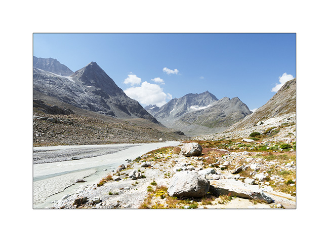
18. After 3 miles on foot, it’s time to turn back regretfully because I would have liked to continue to the glacier tongue. This valley is really wild, I didn’t see anyone there.
19. Going back down…
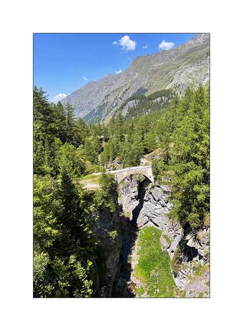
20. Shortly before returning to VivaLaVida, the bridge on the old Mauvoisin road.
And that’s it for this Valais outing. I did nearly 200 miles of mountain biking in 5 days and totaled almost 23,000 feet of elevation gain, enough to get some fresh air! 🙂
The next article will show you our little autumn vacation.
Thank you for your loyalty to this little blog! 😉
Valley of Glaciers
As Emile will soon be joining his mother for the rest of his holidays, we stop at the foot of the Val des Glaciers, near Les Chapieux. We spend a day there without moving VivaLaVida as Cormet of Roselend road is closed one day for the “Etape du Tour”. It’s the largest amateur cycling event with no fewer than 19,000 entrants who set off on one of the stages of the Tour de France: 85 miles and 12,500 feet of elevation gain!
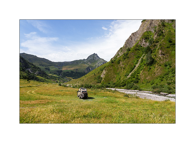
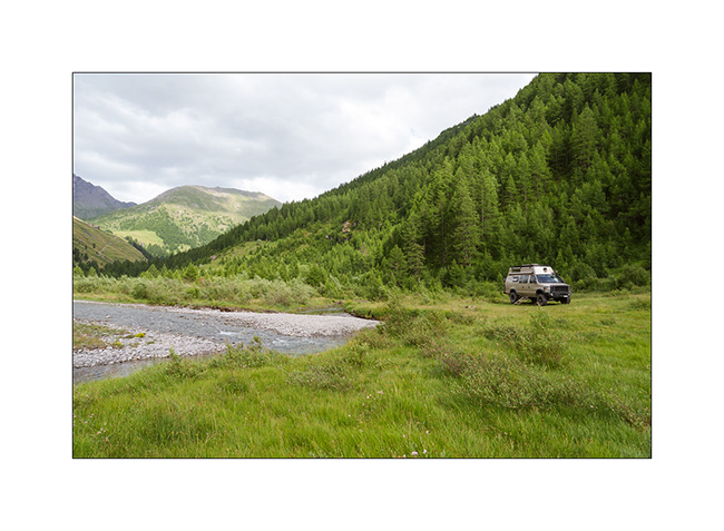
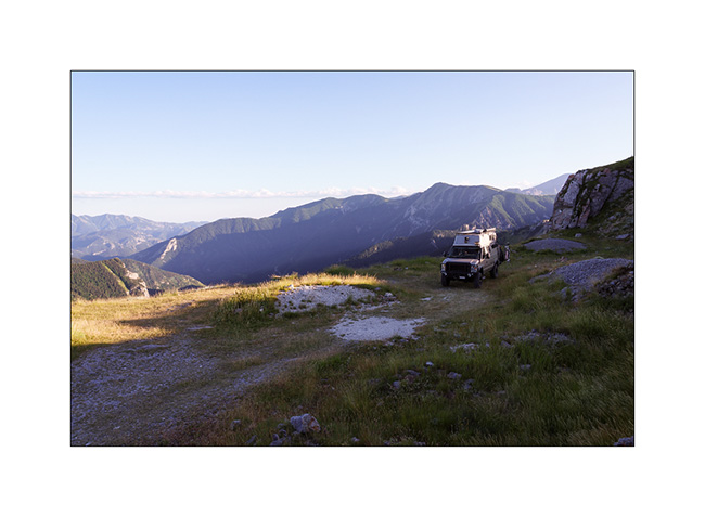
1. We find a nice bivouac spot near the river.
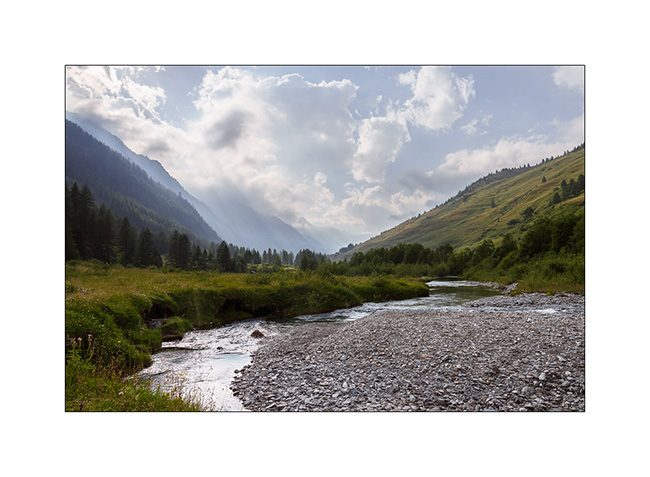
2. The next morning, we take the bikes to explore the Valley of Glaciers.
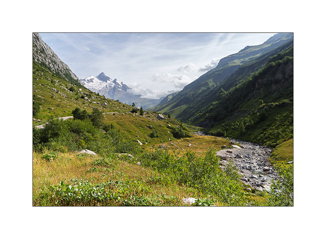
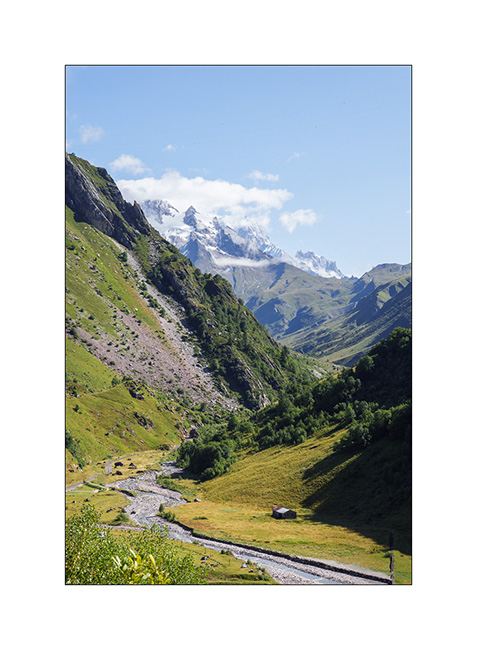
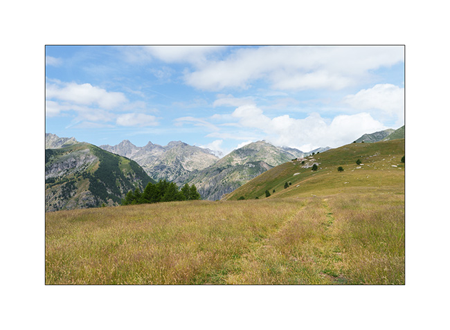
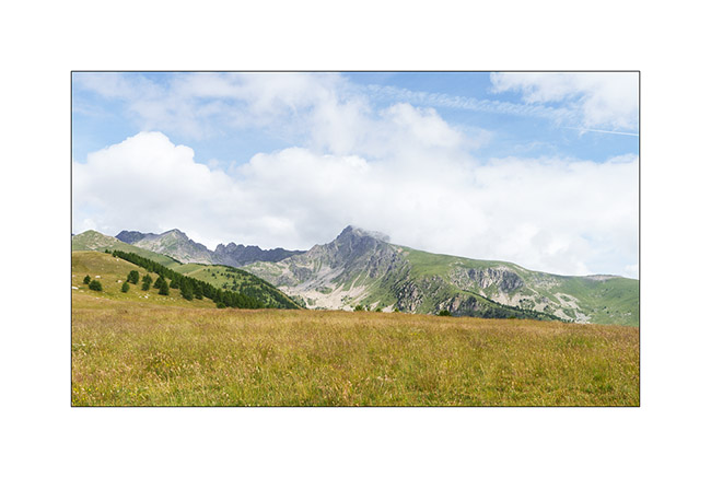
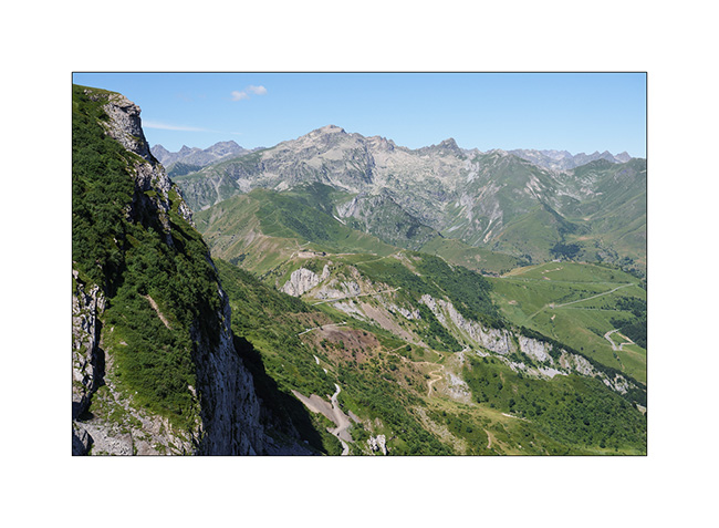
3. Panoramic view of the valley with the Aiguille des Glaciers towering above. The Tour du Mont-Blanc trail passes through this valley and the Pass of la Seigne, to the right of the needle.
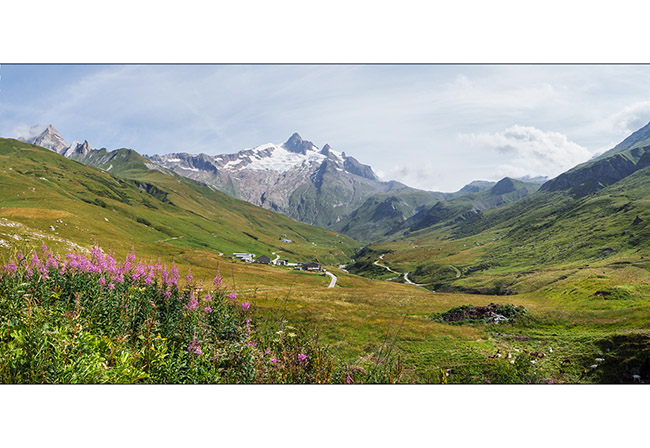
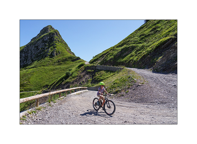
4. As we look back, the small road that leads us to the Refuge des Mottets.
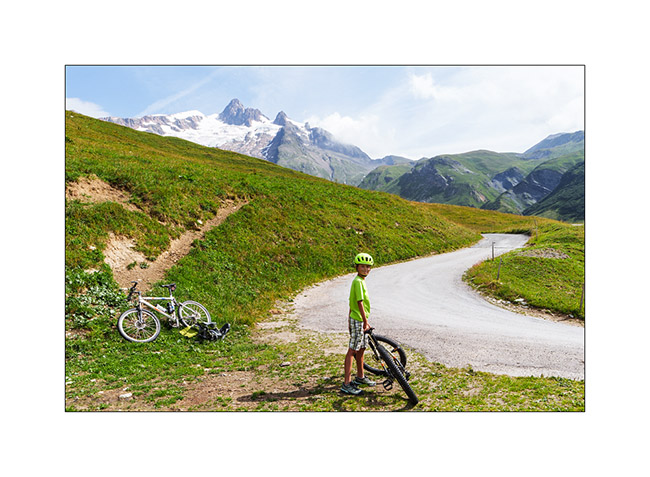
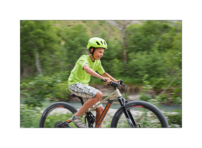
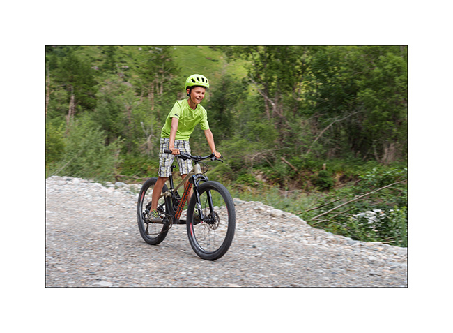
5. Despite the long climb, Emile once again makes it on his mountain bike !
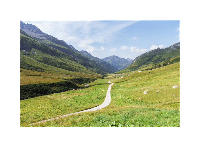
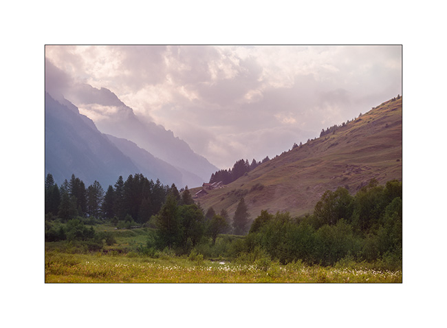
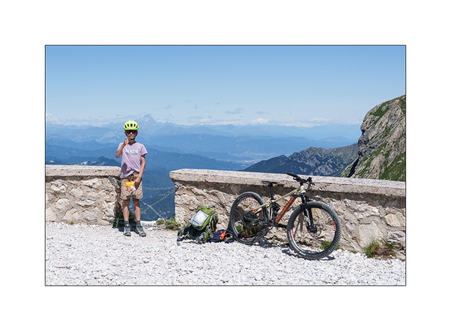
6. Last look at the valley as we leave the next day.
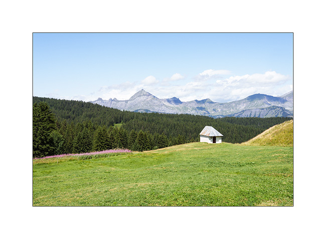
7. And the last image of this holiday: a small chapel in Les Saisies, with the Aravis Mountains in the background.
The year of VivaLaVida continues with a mountain bike getaway in Valais, a few weekend outings followed by the fall break.
Find out more here soon! 🙂
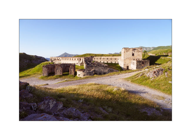
Jafferau fortress and Ecot Gorge
1. Fredda Valley in the morning.
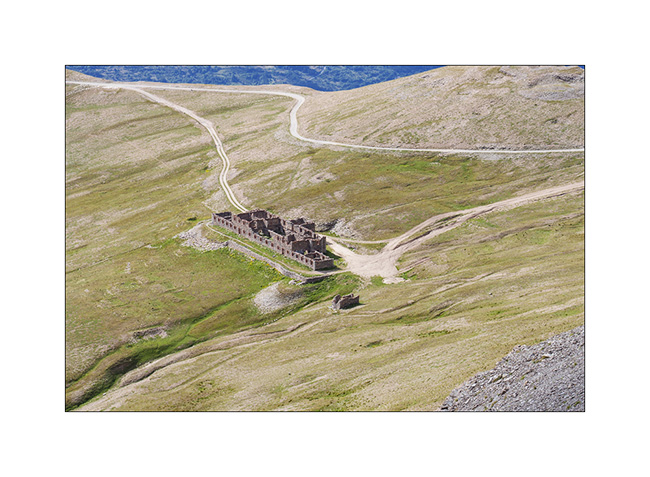
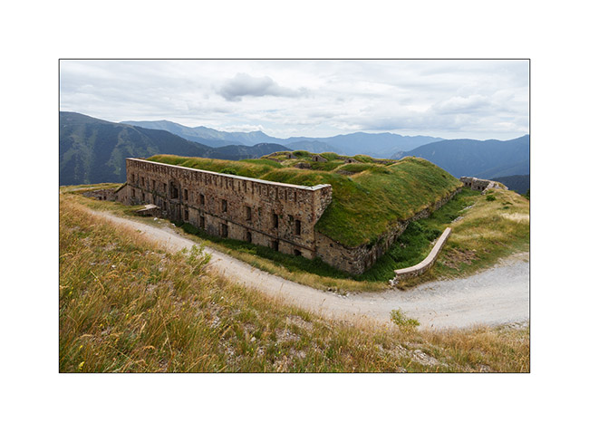
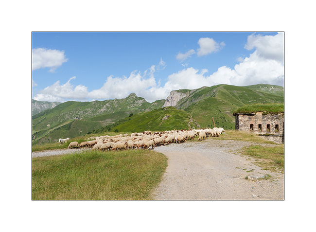
2. Barracks of Pass Jafferau.
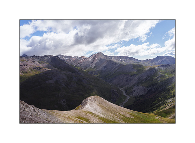
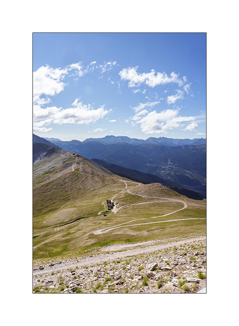
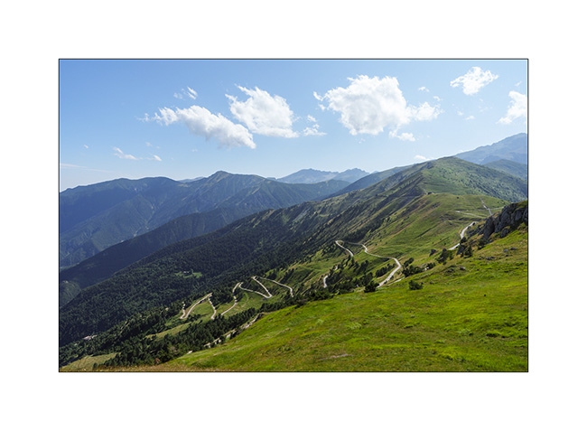
3. From the summit, the panorama towards South with the track that brought us here. It’s definitely steeper than it seems.
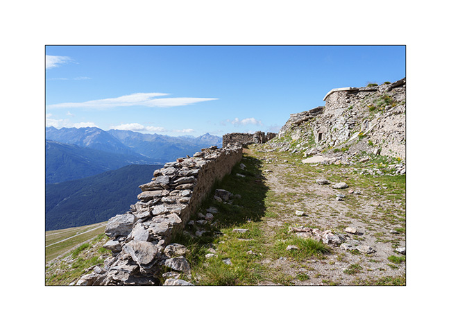
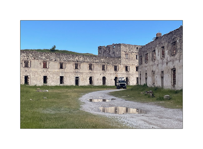
4. Jafferau fortress ruins.
5. After a boondocking at Mont-Cenis, we go discover the Gorges of l’Ecot, above the village of Bonneval-sur-Arc.
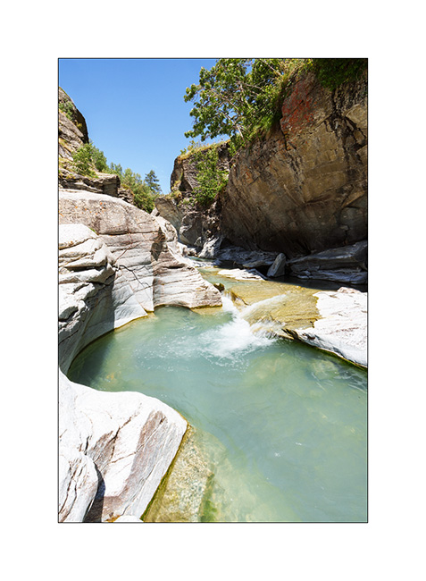
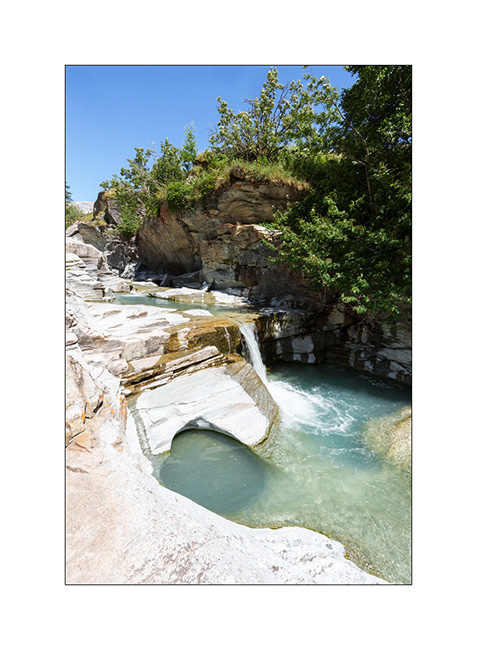
6. One part – just about an hour’s walk from Bonneval – is spectacular.
7. When water carves rock.
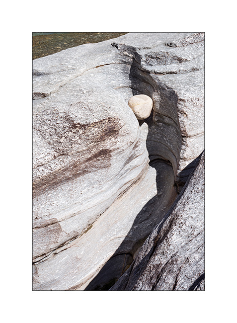
8. There are some beautiful pots.
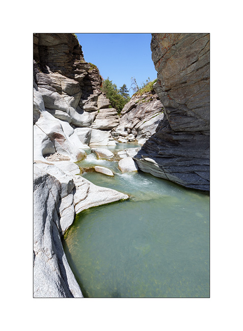
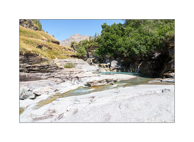
9. Wide shot of the lower entrance to the gorge.
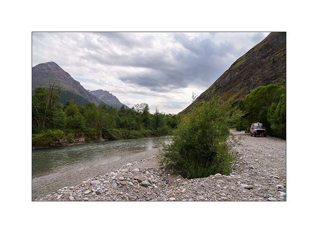
10. We go sleeping further down in the Arc Valley, after having crossed it by ford to reach a quiet spot.
11. Emile takes the opportunity to practice his cycling! 🙂
12. …
There is one last post to publish soon which will conclude the story of these short summer holidays. 😉
Monviso – Bardonecchia area
1. Here we are again on the Alta Via del Sale but on its western part.
2. …
3. The Marguerie fortress where we spend the next night.
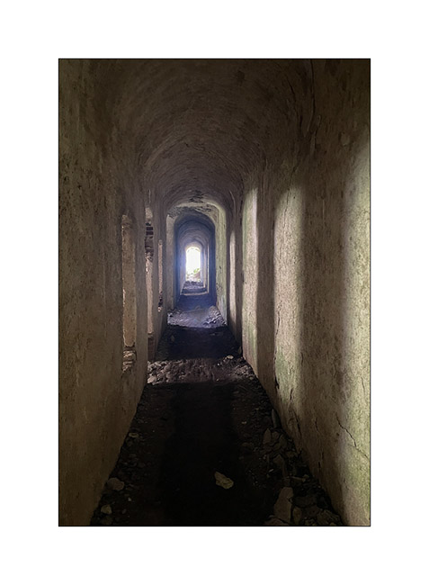
4. I go exploring part of it but don’t stay long because it’s really falling into ruin..
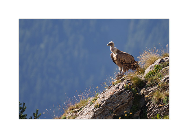
5. An early morning visitor to our camp.
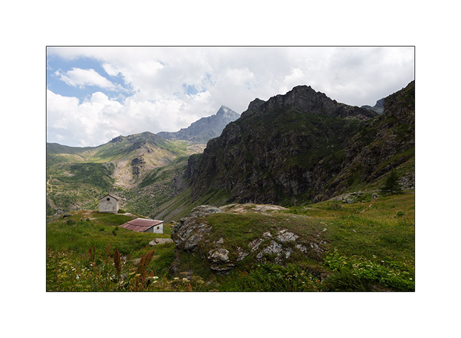
6. As we begin our journey toward North, we go discover Monviso, the main Italian peak in the Southern Alps. A view from Pian de Rey. The afternoon convection partially hides the summit.
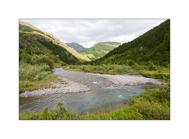
7. Further down, a small waterfall not far from our camp.
8. View on the valley.
9. Then we head back up towards Bardonecchia to explore the Passo de la Mulatiera region. A narrow trail takes us to an altitude of 6,000 feet. Then we continue on foot to the pass.
10. The large scree slope that lies beneath the Mulatiera fortress ruins. We look at a fearless marmot less than 15 feet away.
11. The next day, we park at the Col de l’Echelle and set off on a hike towards the Col des Thures. After a quite steep climb, we discover the Vallon des Thures and the small mountain pasture of the same name.
12. Arrival at the superb Chavillon lake with Mount Thabor in the background.
13. I vary the compositions.
14. …
15. Return path through the screes.
16. Last look at the valley.
17. Above the Col de l’Echelle.
18. Our camp under Mount Jafferau, a spot where we already spent the night three years ago.
The rest of our journey will take us through Mont Cenis, Isère, and the Savoie region. We’ll show you that soon! 😉
Argentera Valley & Pass of Tende
As previously mentioned, we’re delaying our descent to Tende as the weather isn’t favorable. Emile wanted to return, so we head up to the Argentera Valley. Access is now subject to a toll, with a toll booth on the bridge at the entrance to the valley.
We are a little disappointed to discover that major protection works have been undertaken, no doubt following recent heavy storms. Several areas of earthworks aimed at channeling lateral streams disfigure the lower part of the valley and greatly reduce its charm. Fortunately, higher up, nothing has yet been undertaken.
1. We find a nice spot down by the river.
2. View from our camp.
3. End of day tones.
4. The next morning, we take a walk upstream to discover a beautiful torrent.
5. Back at our camp, Emile takes the opportunity to cool off in the river.
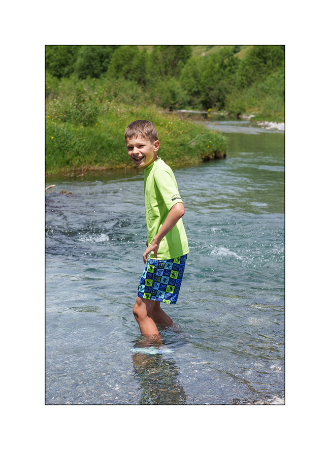
6. Brrrr… it’s cold!
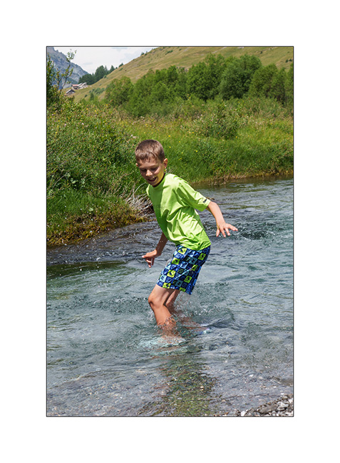
7. …
8. But it feels good!
9. The upper part of the valley remains quite wild.
With the weather improving in the South, we head down to Tende where we hope to discover the Alta Via del Sale (High Salt Road), an approximately 55 miles long trail that follows the ridgeline border between Italy and France. We did the Western section in 2017 but not the Eastern loop.
10. The hairpins of the Col de Tende on the French side (South). This trail is closed to traffic for several years.
11. Meet upon arrival at Fortress Central.
12. First night in the barracks, alone that evening.
13. Since it’s Tuesday and the regulated section of the Ruta del Sale is reserved for pedestrians and bicycles on Tuesdays and Thursdays, we set off to discover the beginning by bike. Here, on the climb to Campanino Pass, with Fortress Central in the background.
14. Emile is comfortable on his new mountain bike, even on climbs.
15. In the end, we rided 12 miles and 13,600 feet of elevation gain. Well done to him!
16. Second night in one of the old quarries used to build the barracks, for sheltering as a strong north wind is blowing.
17. Barracks at sunset.
To be followed in a few days…
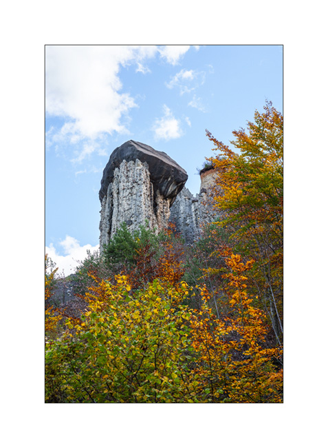
Pass of Valbelle
Still on our way back home, we pass by chance near the “Demoiselles coiffees”, some hoodoos on south shore of the Serre-Poncon lake.
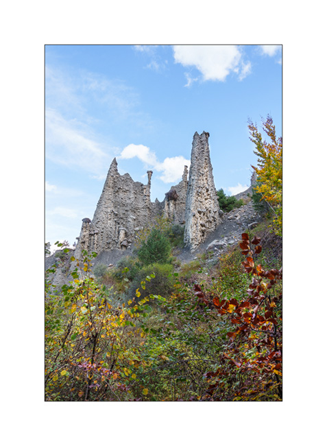
1. A short hike takes us near these always impressive concretions.
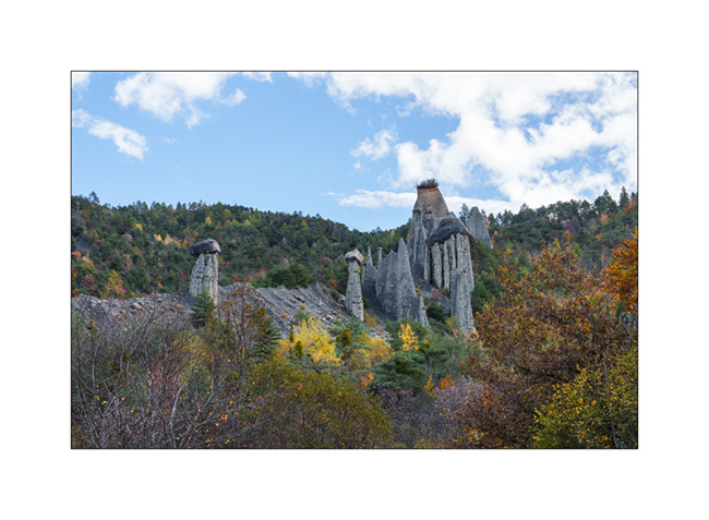
2. The site is evolving fast. Its configuration has changed a lot over the last 50 years.
3. Site Overview.
4. Always favoring the back roads, we take a trail passing through Coche and Valbelle passes to reach Guillestre.
5. Summer stable.
6. VivaLaVida on the trail.

7. View towards the West, shortly before the Pass of Valbelle.
8. From the pass towards North.
9. Some showers are coming.

10. It’s gotten colder, the snow is not far away.

11. We find a boondocking spot above the Risoul 1850 station.
12. Last campfire of the trip.
13. Stop at an abandoned gas station in Maurienne.

And that’s it for our Fall holidays. Shortly after, summoned to the VivaLaVida expertise, I had to remove the licence plates while waiting for the manufacture of parts to increase the power of the parking brake because the efficiency of the current assembly was deemed insufficient by the expert. We were therefore unable to enjoy VLV this late autumn. She returned to her shelter for the winter.
As you read this, I received the ordered parts. I’ll be installing them in the coming weeks before getting the licence plates for the new season.
Thank you for your loyalty in following this little blog and see you soon for the rest of the journey aboard VivaLaVida! 😀
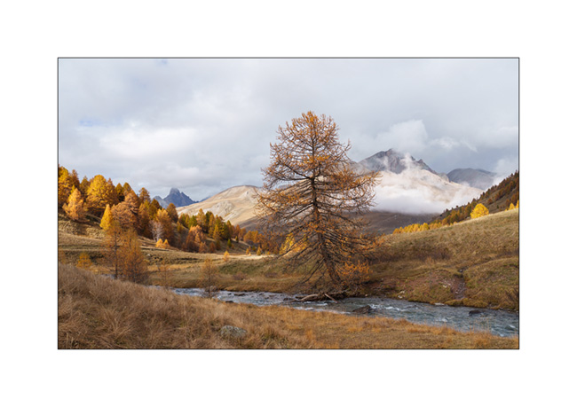
Haute-Ubaye
Coming down from Larche Pass (Colle della Maddalena), we go discover the Lautanier valley.
1. Fall colors are everywhere.
2. Hiking up the valley.
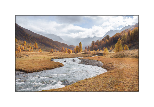
3. Meander.

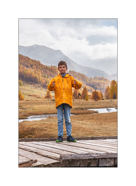
4. A hiker on the bridge. 😉
5. Ubayette River which dug the valley.
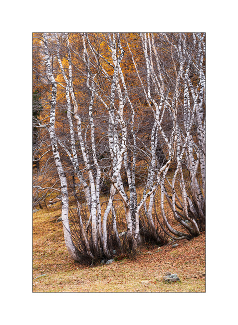
6. Larches and birches.
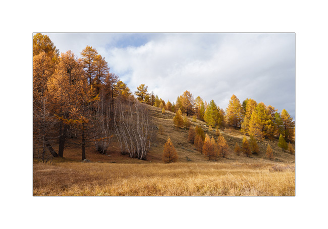
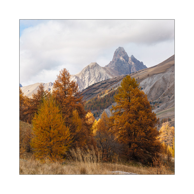
7. Further up in the valley.
8. Fall atmosphere.
9. Birch trunks.
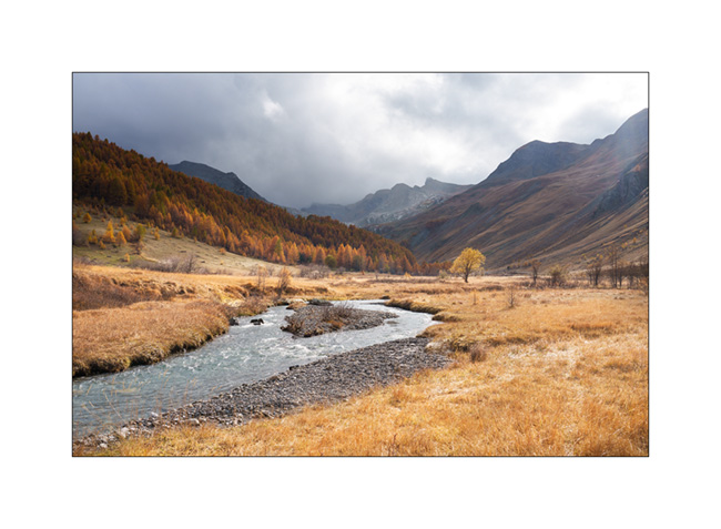
10. Ubaye Valley.
11. Our boondocking spot along the river Ubaye.
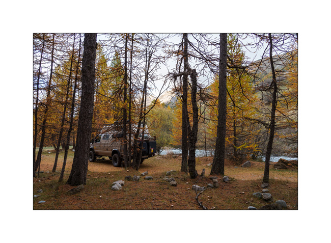
12. We made a campfire there between the raindrops.
Continuation of our way back shortly.