
mountain
now browsing by tag
Chartreuse and Taillefer
This little blog is getting a bit of a boost with the summer holidays, as VLV is back in action. It won’t be very long, as Emile has a wedding in his mother’s family in mid-July. So, we’re going away only for about two weeks and given this limited time, we’ve decided to explore a few spots not too far away.
We start in the Chartreuse massif to try to locate the Roche Percee (Pierced Tower), a double arch rarely located on maps.
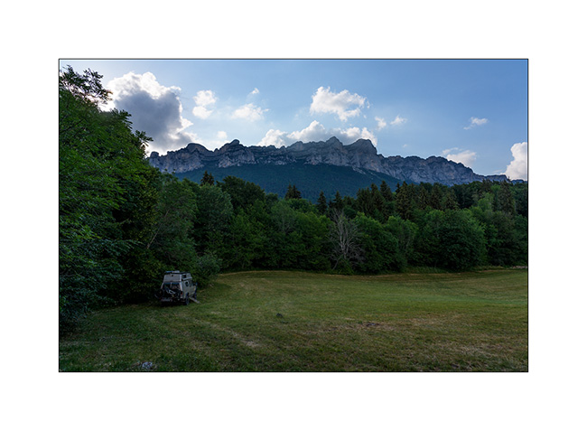
1. Our campsite for the first night, beneath the walls of the Chartreuse massif.
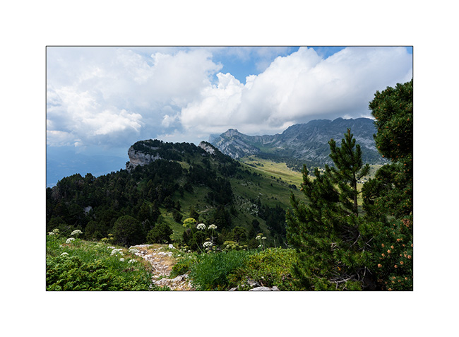
2. The next day, at the top of the cliffs after passing the Aup du Seuil.
3. I realize I’ve gone astray and we head back down the quite steep path we took earlier.
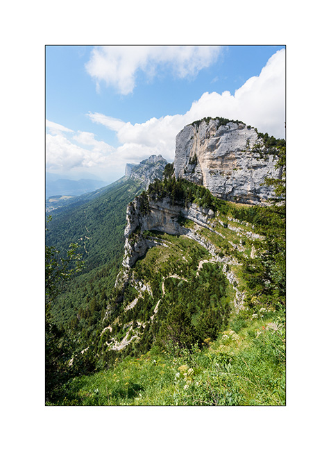
As an aside, we continue towards Roche Percee along a faint path beneath the cliffs and just as we approached the final climb, a thunderstorm caught us by surprise. Coming from behind the cliffs, I hadn’t seen it forming. It take us nearly an hour and a half to get back to the bikes we’d used that morning for the first part of the climb and reach VivaLaVida, soaked to the bone. We return to our campsite from the previous night to dry off and eat after nearly 14 miles and 3,000 m of elevation gain, having missed out on the coveted arch… We’ll be back!
The next day, we travel above Vizille towards Grand-Serre with the intention of exploring the Plateau des Mille Lacs (Thousand lakes Plateau) and in particular Lac Noir and Lac Fourchu. Arriving in the mid-afternoon, we stop at Lac du Poursollet and then go looking for a spot to camp for the night.
4. The following morning, we hike up to the plateau. At the pass, we catch sight of Lac Fourchu..
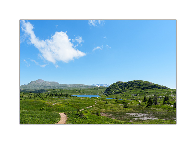
5. A little further on, the Lac Noir is visited by a flock of sheep, with the Aiguilles d’Arve in the background.
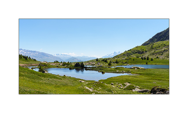
6. Back to Lac Fourchu.
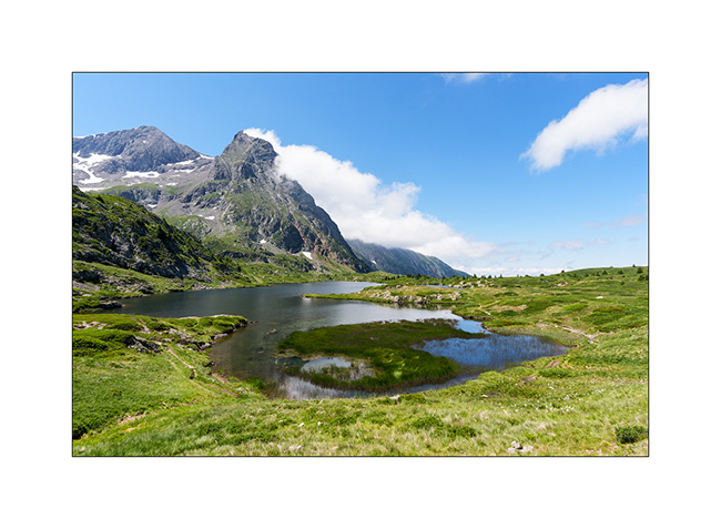
7. Alternative view from our picnic spot…
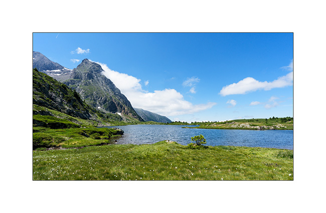
8. Another perspective…
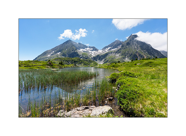
9. Last look before heading back down.
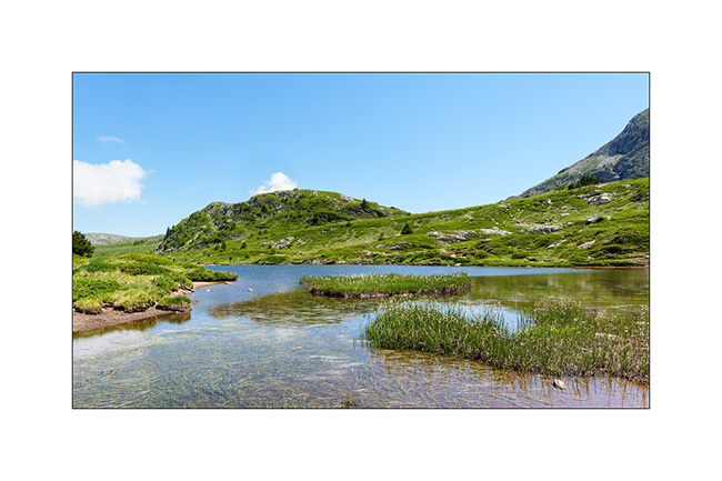
10. While I plan to discover another arch, we sleep on the heights of the small resort of Grand-Serre.
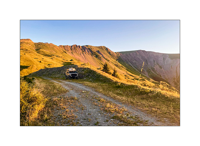
More to come in a few days… 🙂
Devoluy (2)
While preparing our exploration of the Dévoluy massif, I spotted several “chourum” – the local name for sinkholes, these limestone cavities sometimes forming caves – and we decided to go and discover one.
1. Going up from our camp…
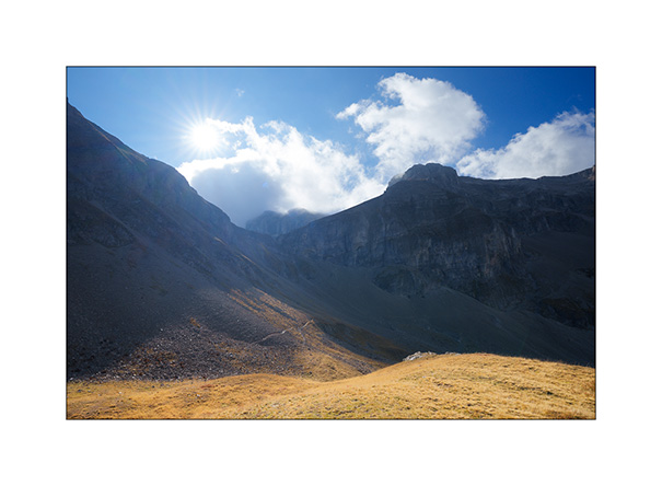
2. Arrival at the Chourum of the Heroic Crossing from above. A group of mountain troops in training is climbing it, little black dots which give a sense of the scale of this vast chimney.
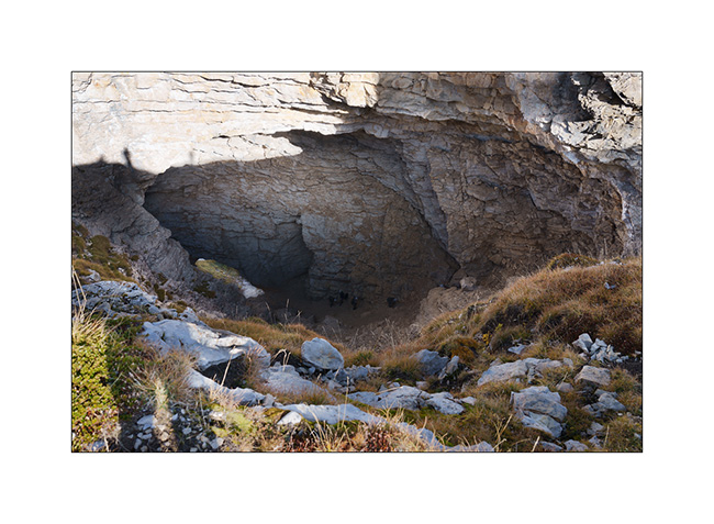
3. On the descent back towards VivaLaVida, looking up towards the Bure Plateau.
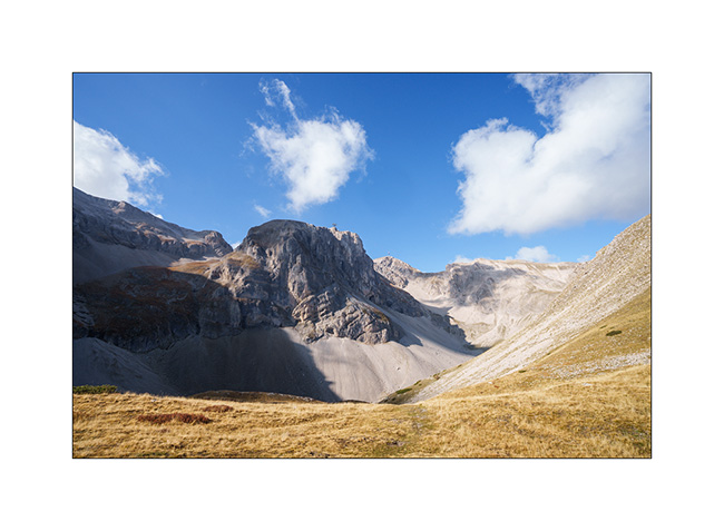
4. In the afternoon, we drive in VLV above the Super-Devoluy resort to get closer to Bure Plateau. The view opens up to the surrounding mountains.
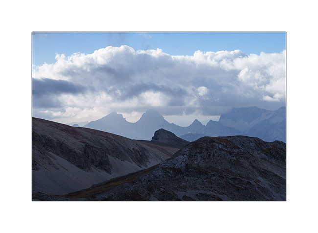
5. VivaLaVida at the end of the road, at about 8,200 feet elevation.
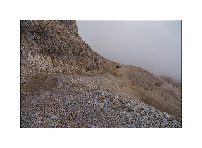
6. The clouds are starting to gather but we still attempt to pass through “the Window” to discover the interferometer on the Bure Plateau.
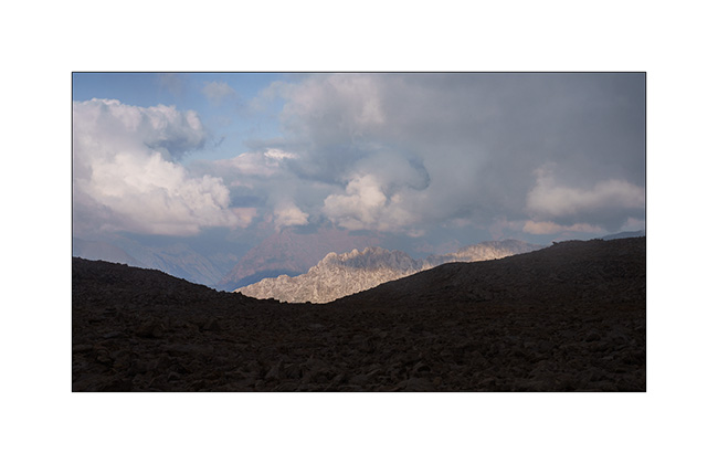
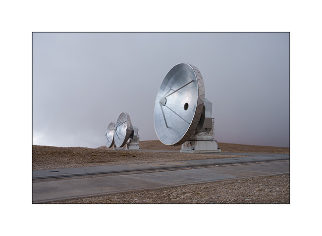
7. After a short hour’s walk, a few breaks in the fog give us a glimpse of the site. Located at an altitude of 8,350 feet, the interferometer consists of 11 large-diameter parabolic antennas working together; it is the largest installation of its kind in Europe.
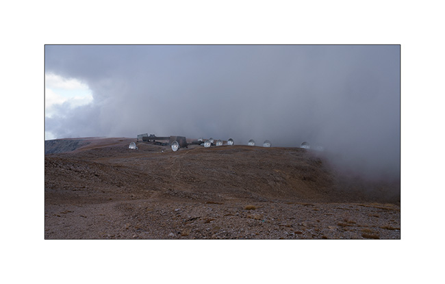
8. The scientists who work here in four-month shifts are particularly isolated during the winter, sometimes drawing comparisons to the missions of scientists in Antarctica. Only a private cable car serves the plateau, which suffered a serious accident in 1999 when the haul rope broke, killing 20 people.
9. We descend to about 6,500 feet to spend our last night of the holiday in VLV. The view is gorgeous.
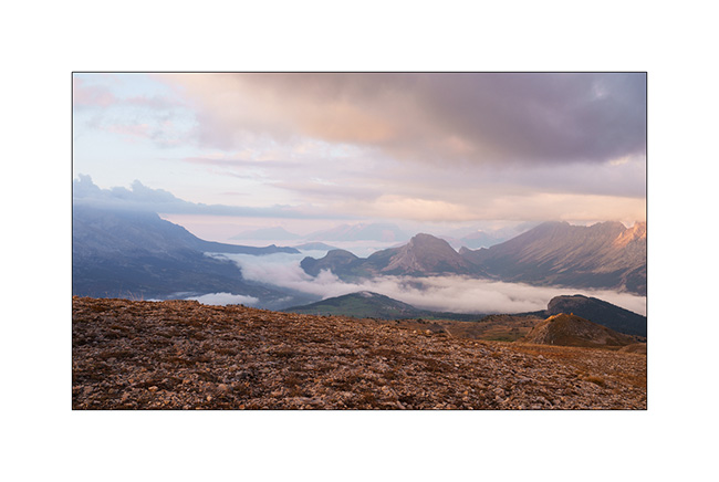
10. Last dream campsite.

11. Sun is setting…
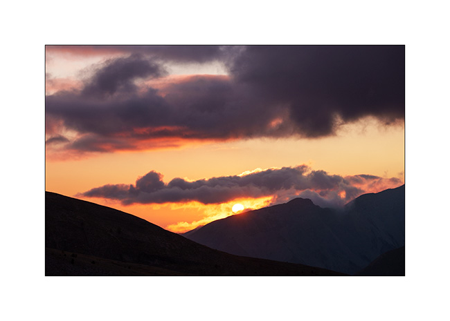
12. … and we make a final campfire to cook our supper.
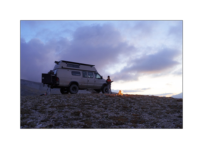
13. This twilight concludes the story of VLV’s wanderings in the year 2025.
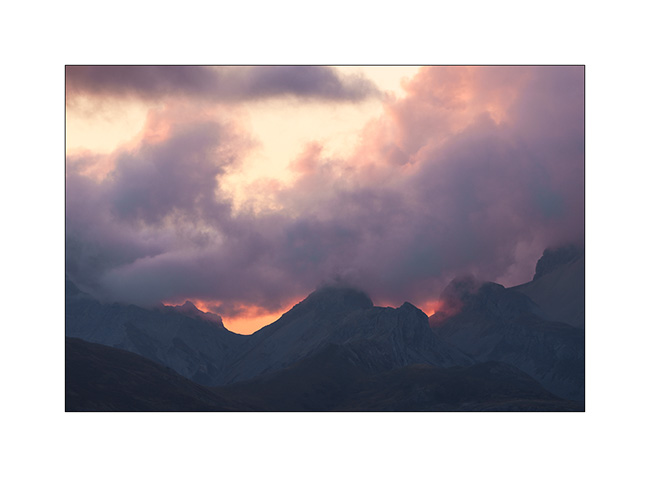
Thank you all for continuing to follow this little blog in such large numbers. It ends here for 2025 but will resume next summer with new discoveries… 🙂
Valais : Herens Valley, Thyon, Bagnes Valley and Otemma Glacier
After my two days in the Anniviers Valley, I change valleys and join the Herens Valley.
I sleep in Arolla and decide to go up to Mont Dolin the next morning, which peaks just below 10,000 feet elevation.
1. Break below the Riedmatten Pass, after 2,300 feet of altitude gain.
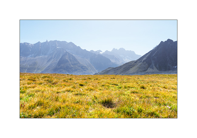
2. At the Forclette Pass, just below Mont Dolin, with the Bertol Teeth in the background..
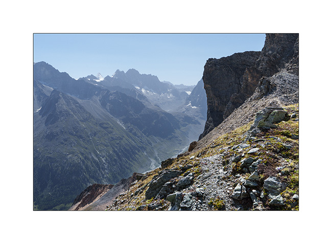
3. In the afternoon, I go up to Ferpecle which I haven’t visited for a long time….
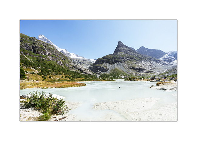
4. An impressive waterfall flows from the Mont Miné Glacier, attesting to the heavy melting this summer.
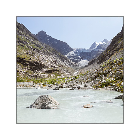
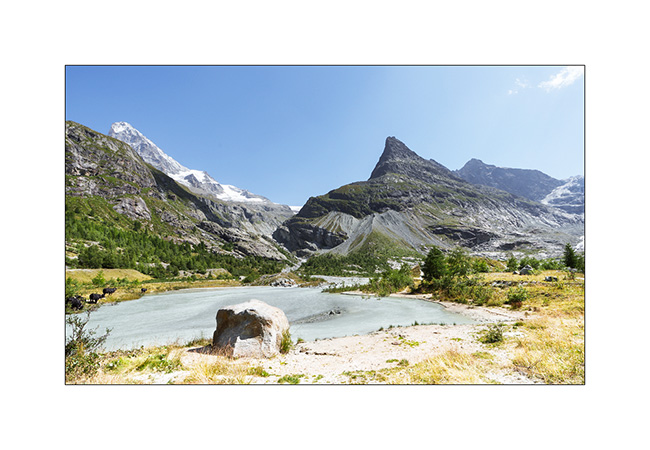
5. This small gravel bar formed by the Ferpecle dam is truly photogenic!
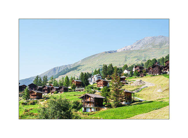
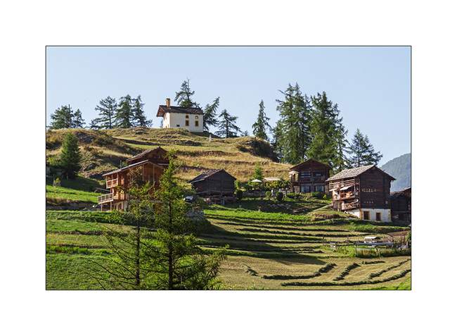
6. On the way back down to La Sage where I left VivaLaVida, the hamlet of Seppec.

7. La Sage in late afternoon.
8. Its chapel.
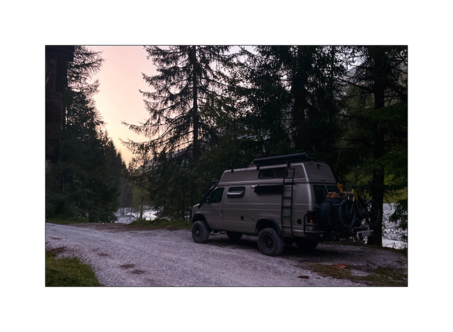
9. I sleep on the banks of the Borgne River, in peace and quiet…
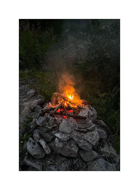
10. … and enjoy a picnic spot to make a campfire.
11. The next morning, I climb to Thyon 2000 with VLV, then to Grepon Blanc by mountain bike. The last few yards are done on foot..
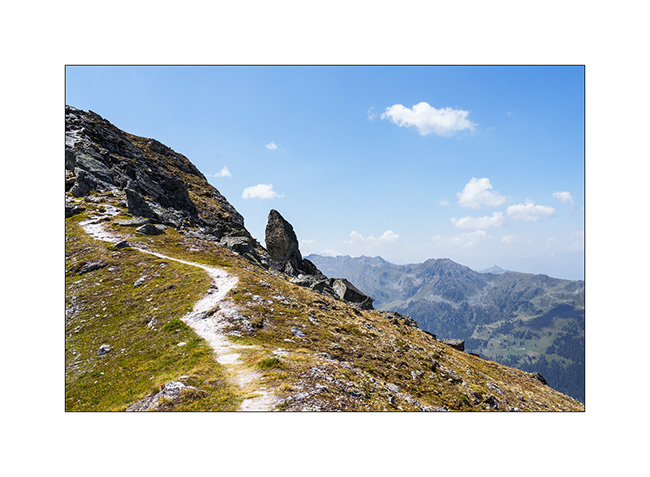
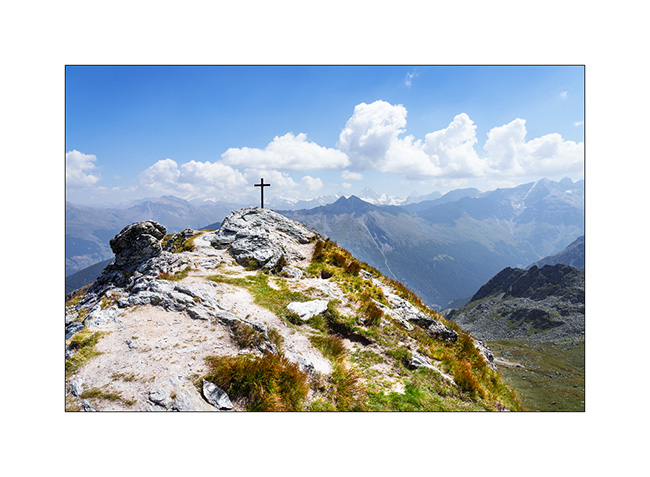
12. Summit of Grepon Blanc with a view of the surrounding 13,000 ft peaks.
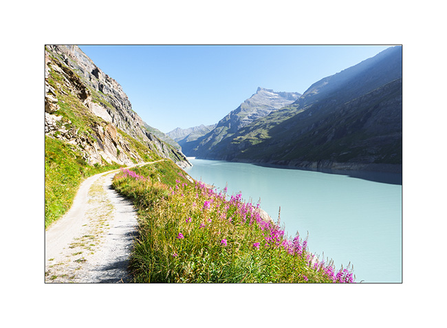
13. At the end of the day, I break camp and head up to the Bagnes Valley. The next day, I set off by bike from Bonatchiesse to reach the Chanrion refuge. I follow the shores of Lake Mauvoisin.
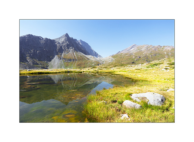
14. Under the refuge, an unnamed pond…
15. The Chanrion refuge with, in the background on the right, the summit of the Grand Combin.
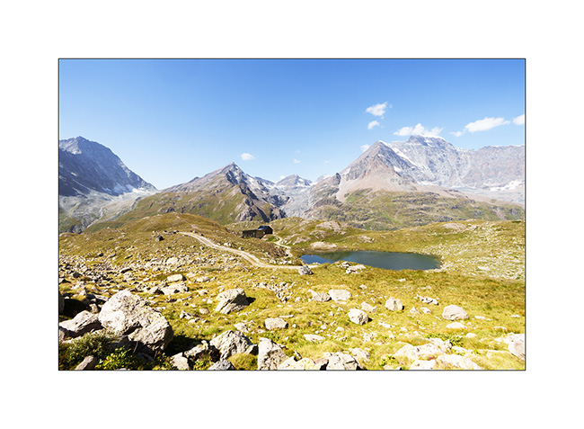
16. As I go back down, I notice a small road leading south. I decide to go and explore it.
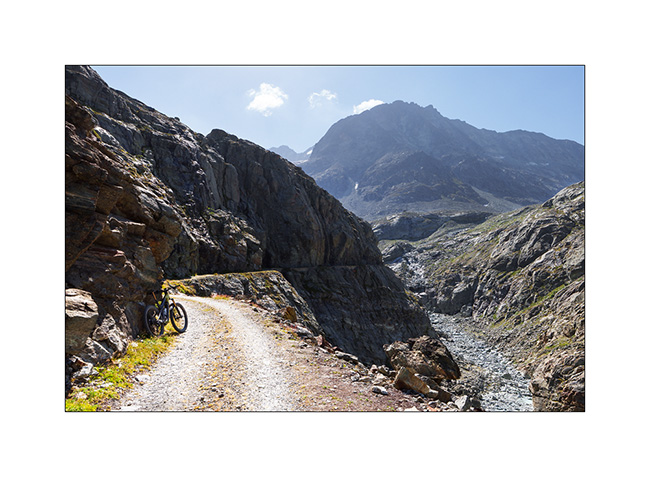
17. It leads to a water intake on the Dranse de Bagnes. I leave my bike there and continue on foot to discover the splendid Otemma Valley and the glacier of the same name.
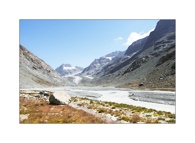
18. After 3 miles on foot, it’s time to turn back regretfully because I would have liked to continue to the glacier tongue. This valley is really wild, I didn’t see anyone there.
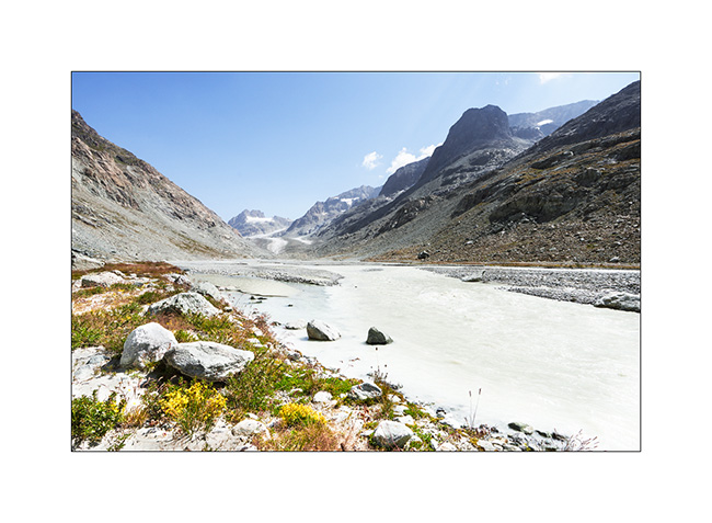
19. Going back down…
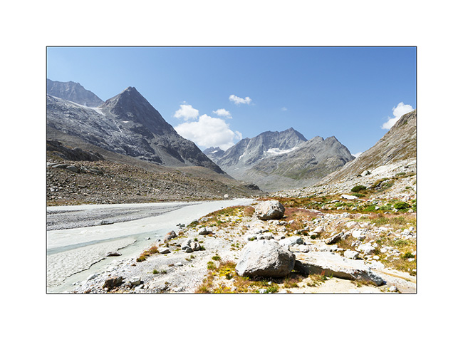
20. Shortly before returning to VivaLaVida, the bridge on the old Mauvoisin road.
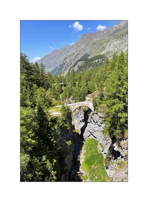
And that’s it for this Valais outing. I did nearly 200 miles of mountain biking in 5 days and totaled almost 23,000 feet of elevation gain, enough to get some fresh air! 🙂
The next article will show you our little autumn vacation.
Thank you for your loyalty to this little blog! 😉
Valais : Anniviers Valley
While Emile continues his vacation with his mom, I go enjoying the summer in the Swiss Alps by doing a few days of mountain biking in Valais.
1. Arriving at the end of the day in the valley, I walk up the valley towards the Petit Mountet refuge.
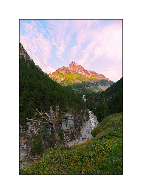
2. The Navizence River at sunset, downstream from the Zinal glacier.
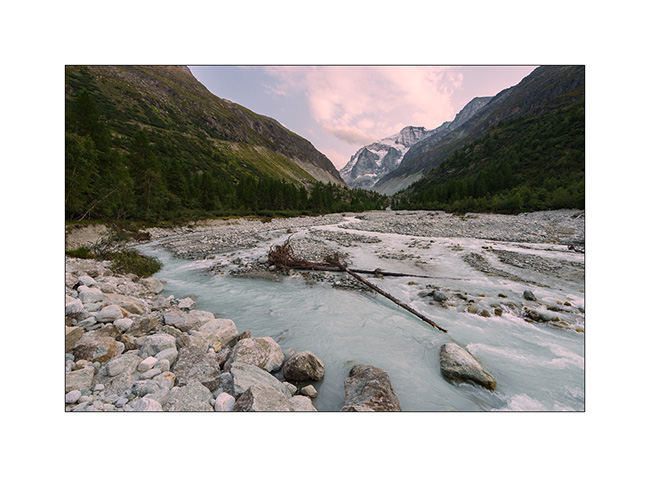
3. The next day, long 44 miles loop with a 5.5 hour ride. Views of central Valais from the heights of Chandolin..
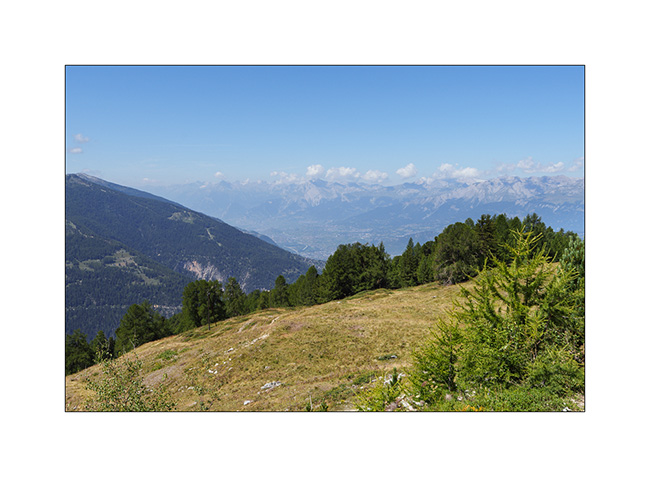
4. The upper Anniviers Valley from the heights of St-Luc.
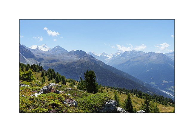
5. Mountain lake above Plan Torgnon.
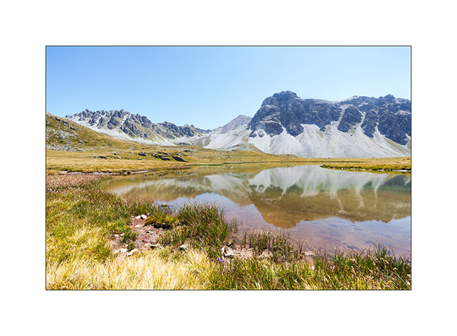
6. …
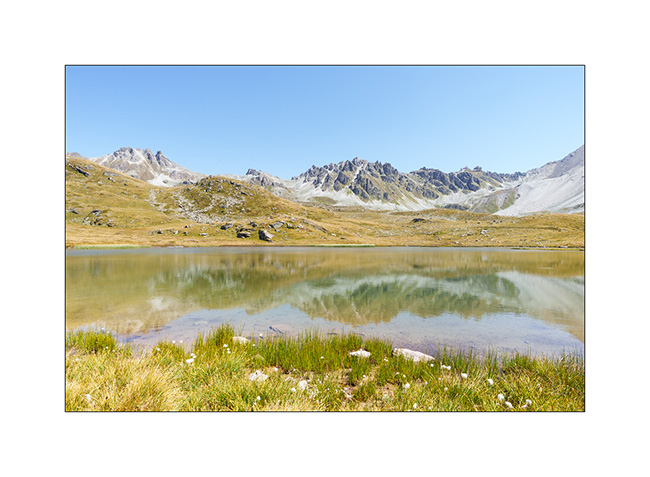
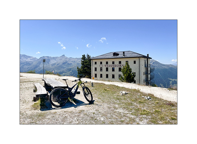
7. I make a detour to discover the famous Hotel Weisshorn.
8. Going up towards Zinal, above Ayer.
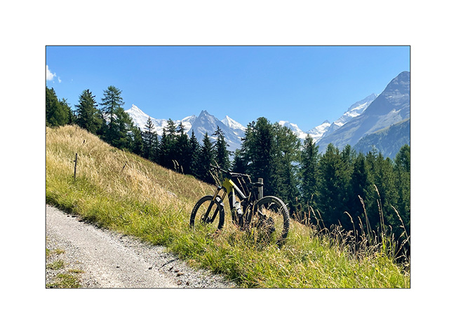
9. View of Zinal and the final downhill.
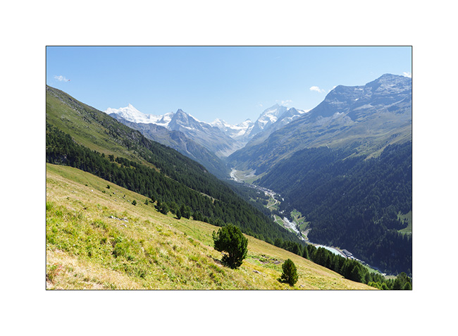
10. I go sleeping above the Moiry lake.
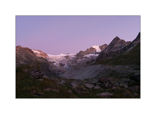
11. Châteaupré Lake in early morning.
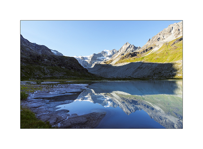
12. Second mountain bike outing to Lake Autanne.
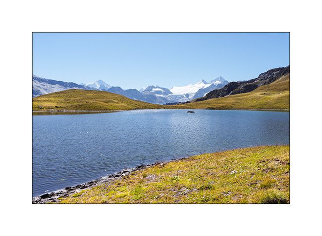
13. Alpine summer view…
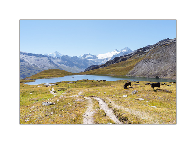
14. Launa lake.
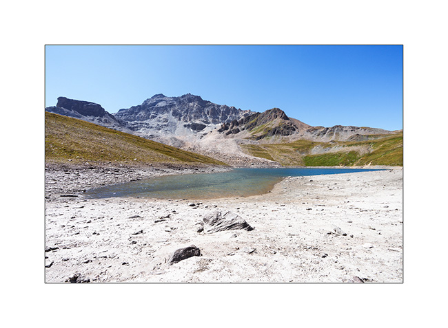
15. Pass of Launa, a mecca of the Grand Raid VTT event.
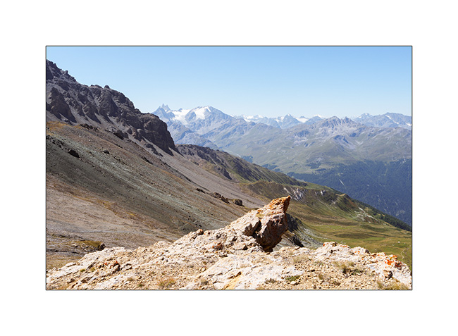
16. From the Pass of Launa looking East.

That’s it for my first two days of mountain biking. More to come soon!
Pass of Valbelle
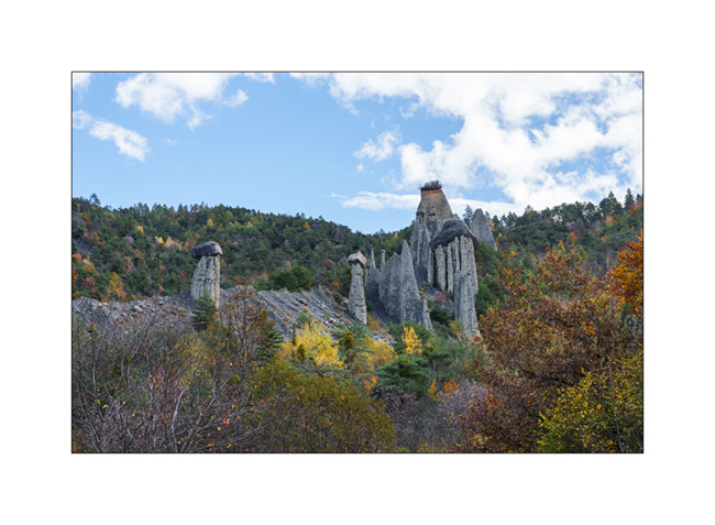
Still on our way back home, we pass by chance near the “Demoiselles coiffees”, some hoodoos on south shore of the Serre-Poncon lake.
1. A short hike takes us near these always impressive concretions.
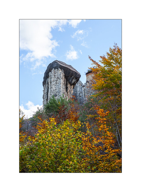
2. The site is evolving fast. Its configuration has changed a lot over the last 50 years.
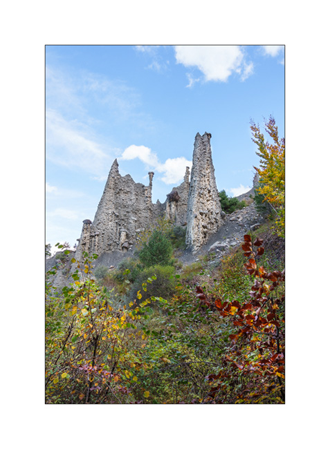
3. Site Overview.
4. Always favoring the back roads, we take a trail passing through Coche and Valbelle passes to reach Guillestre.
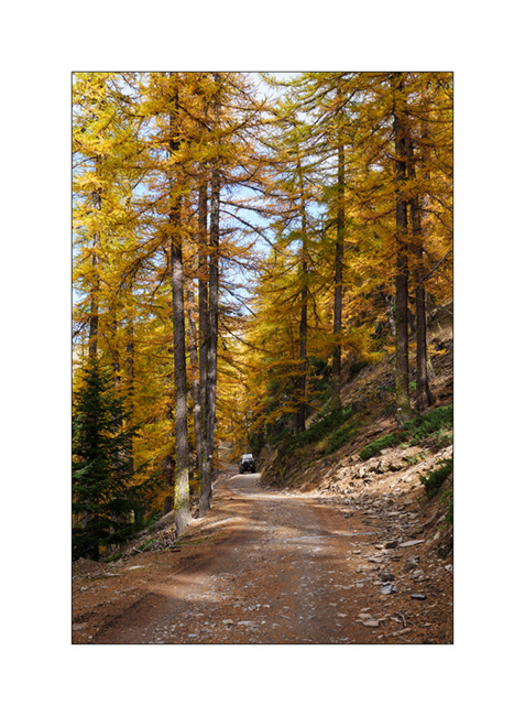
5. Summer stable.
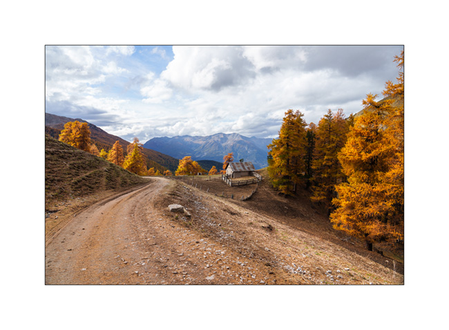
6. VivaLaVida on the trail.

7. View towards the West, shortly before the Pass of Valbelle.
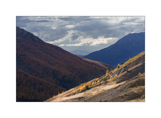
8. From the pass towards North.
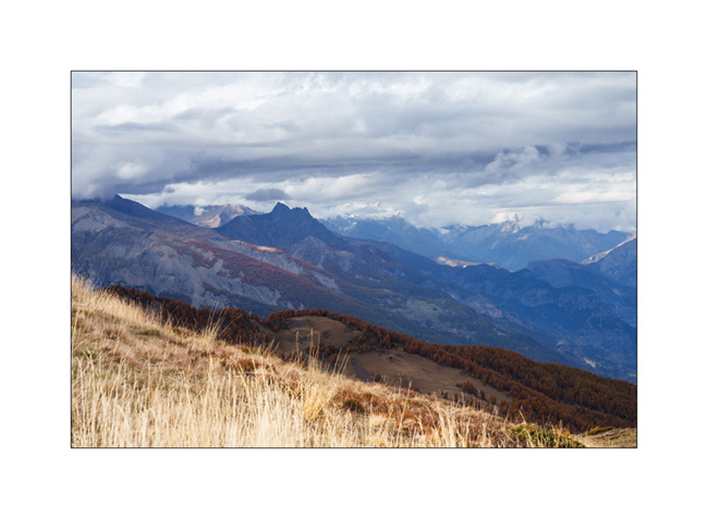
9. Some showers are coming.

10. It’s gotten colder, the snow is not far away.

11. We find a boondocking spot above the Risoul 1850 station.
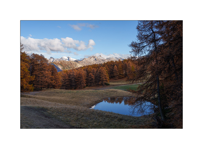
12. Last campfire of the trip.
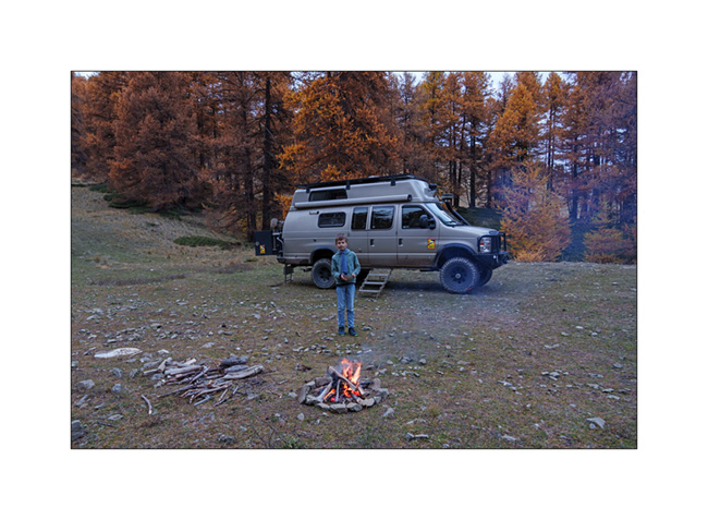
13. Stop at an abandoned gas station in Maurienne.

And that’s it for our Fall holidays. Shortly after, summoned to the VivaLaVida expertise, I had to remove the licence plates while waiting for the manufacture of parts to increase the power of the parking brake because the efficiency of the current assembly was deemed insufficient by the expert. We were therefore unable to enjoy VLV this late autumn. She returned to her shelter for the winter.
As you read this, I received the ordered parts. I’ll be installing them in the coming weeks before getting the licence plates for the new season.
Thank you for your loyalty in following this little blog and see you soon for the rest of the journey aboard VivaLaVida! 😀
Haute-Ubaye
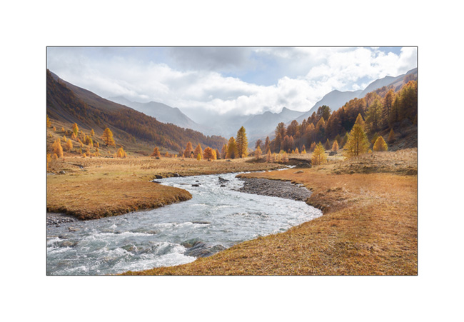
Coming down from Larche Pass (Colle della Maddalena), we go discover the Lautanier valley.
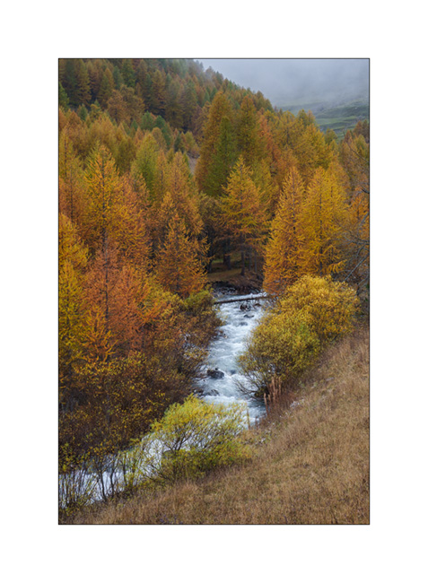
1. Fall colors are everywhere.
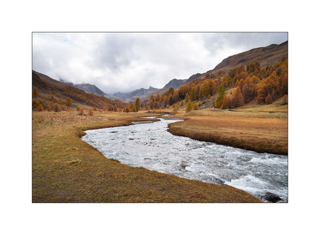
2. Hiking up the valley.
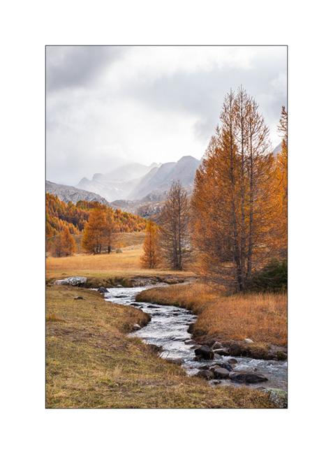
3. Meander.

4. A hiker on the bridge. 😉
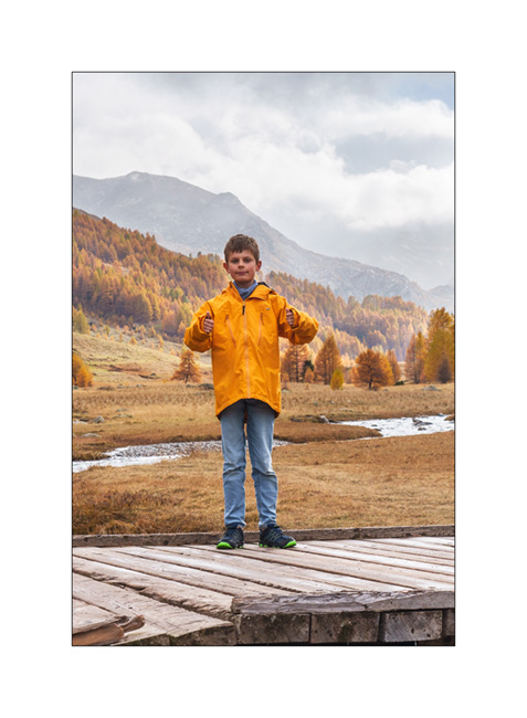
5. Ubayette River which dug the valley.
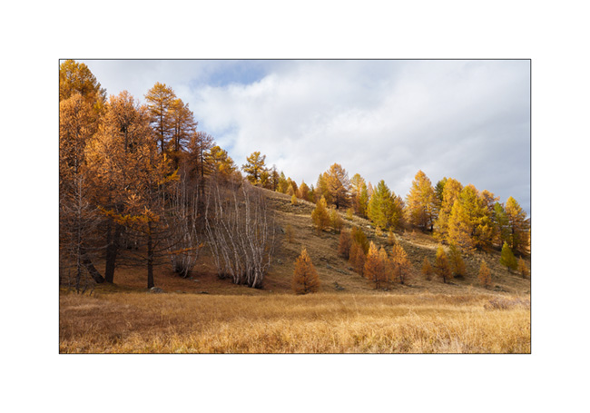
6. Larches and birches.
7. Further up in the valley.
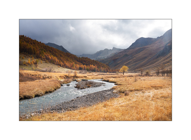
8. Fall atmosphere.
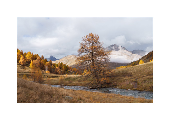
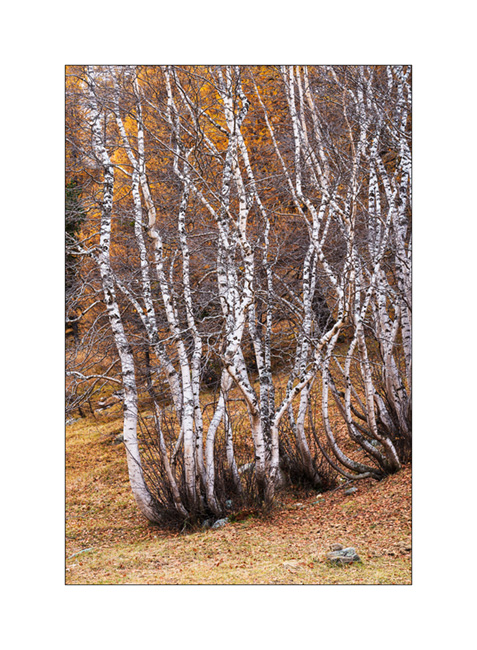
9. Birch trunks.
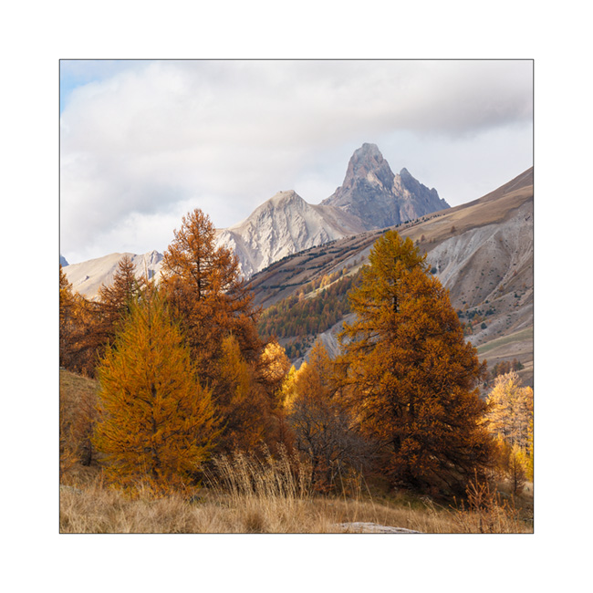
10. Ubaye Valley.
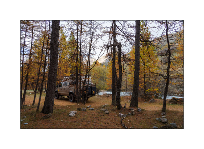
11. Our boondocking spot along the river Ubaye.
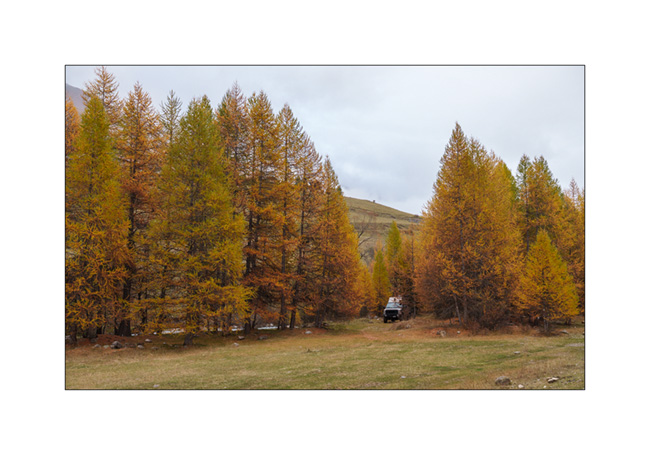
12. We made a campfire there between the raindrops.
Continuation of our way back shortly.
Lake Meja
The next morning, we set off on a hike to explore Lake Meja despite the poor weather..
1. Our camp going up towards the small pass which overlooks us.

2. We see a few ibex near the pass.
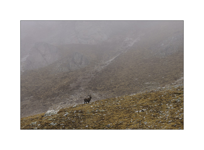
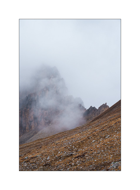
3. Mountains appear and disappear in the clouds.
4. Some marshes along the path.
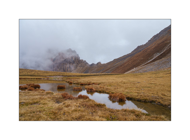
5. Lake Meja.

6. Small mushrooms on a dung.

7. The rain starts again as we go back to VivaLaVida.
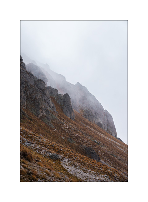
8. It’s already time to head back. A short stop on the way up the Maddalena Pass.
In the next update, we will discover a beautiful valley in Haute Ubaye.
Maira Stura
As announced, we continued South hoping to be able to access the Maira Stura trail which was closed during our last visit in summer.
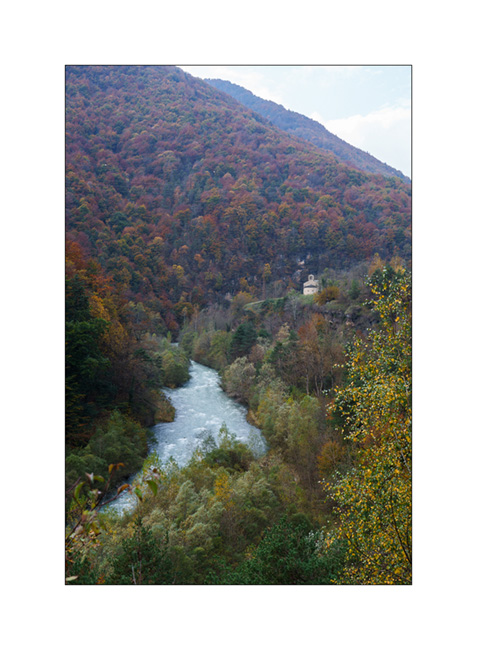
1. Chapel of San Salvatore, driving up the Val Maira.
2. Village of Macra, in the same valley.

3. Indeed, the gate located after Pian Preit is open at this time of year. We can take the small road towards the Meja Pass.

4. Cloudy weather as the road climbs steep.
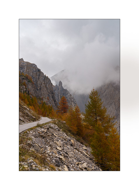
5. …
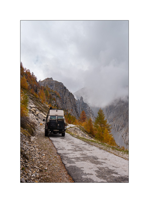
6. The limestone is steep on this side of the valley.
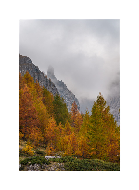
7. Near Meja Pass.

8. We continue on the trail towards refuge Gardetta.
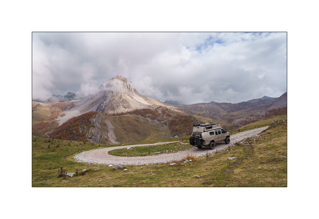
9. Meja Mountain in the clouds.

10. Altitude marshes.

11. The atmosphere is magical with the fog coming in.

12. Fall colors…
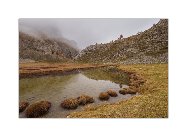
13. Under refuge Gardetta, at almost 7,000 feet elevation.

14. We do the entire crossing of the Maira Stura trail via Margherina Pass in the rain. Here, the old Barracks Della Bandia.

15. We find a nice boondocking spot on the edge of a small lake.

16. Rainy and windy twilight.

To be followed soon… 😉
Back in France…
As announced in the previous post, we are back in France, on the northern slopes of the Pyrenees. We go to discover Navarrenx, a pretty fortified little town about 25 miles West of Pau.
1. One of the entrances of the city.
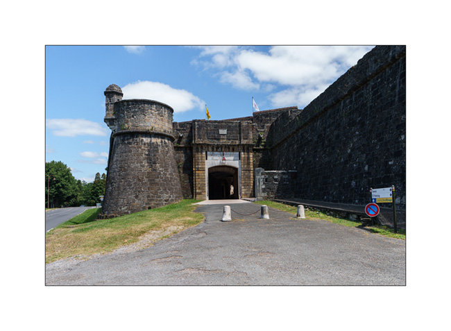
2. Patrol path…

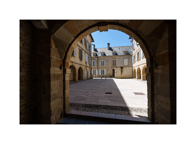
3. A beautiful courtyard.
We had promised ourselves for a long time to share a campfire with friends from the Pau area, Fred and Martine. A few years ago, they bought a small camper that allows Fred, an accomplished landscape and wildlife photographer, to travel for his passion.
Passing through the region, I texted him and the stars aligned so that we could share a nice altitude bivouac. Fred sent me GPS coordinates of a spot easily accessible by a good trail where we could meet up.
4. In the middle of the afternoon, we are the first on site.
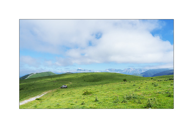
5. A few Pyrenean peaks surround us.
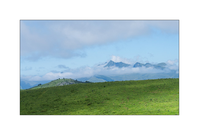
When Fred and Martine arrive, the last section was a little too rough for their little camper and we go back down a mile to meet them and find ourselves a spot easier to access.
6. After the aperitif and lighting the campfire, it’s time to prepare the dinner.

Photo FredW
7. On the menu: melon and ham starter, then lamb chops with ratatouille cooked over the wood fire. Yum!
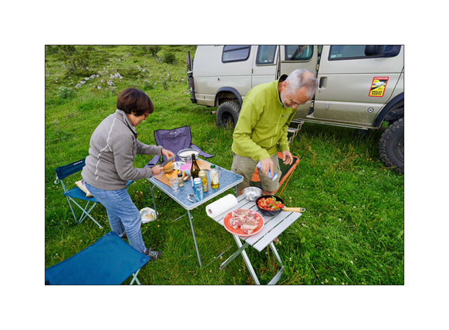
Photo FredW
8. Cooking…

Photo FredW
9. What a great evening with friends! Martine and Fred, thank you for your kindness and for this great time.
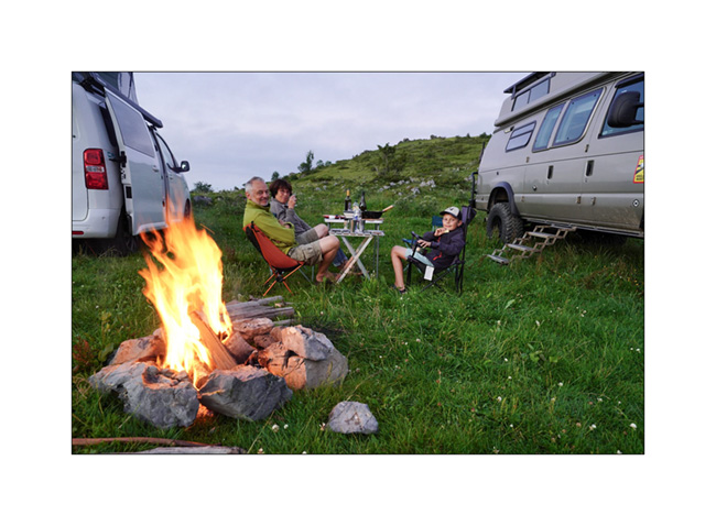
Photo FredW
10. Time to go to sleep…
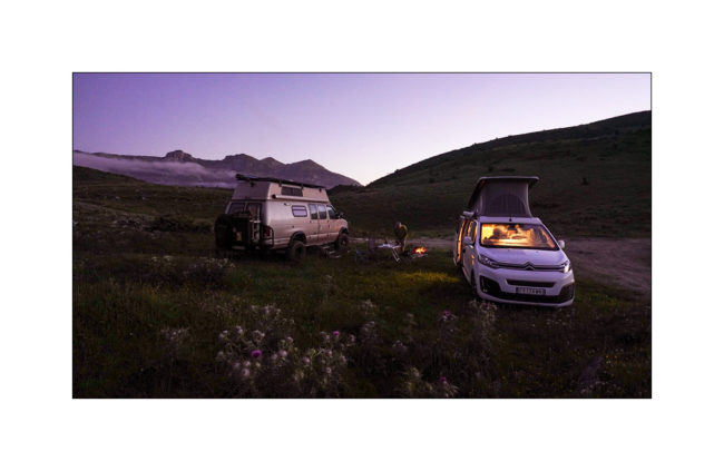
Photo FredW
11. The next day, I get up before sunrise to enjoy the morning atmosphere….

12. First rays on our camp.
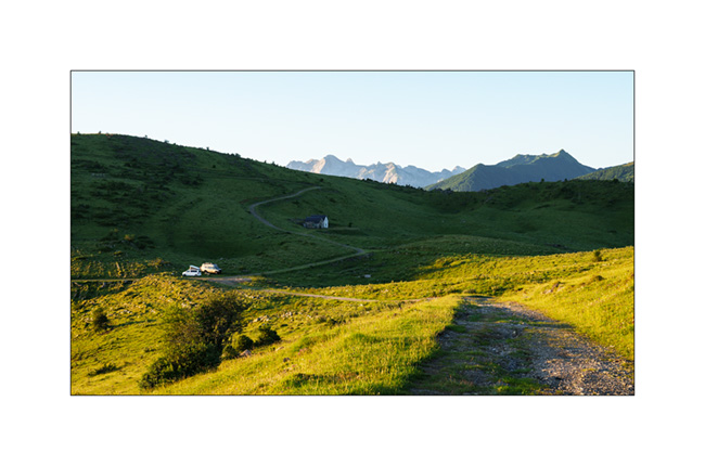
13. The plain North of the Pyrenees. The city of Pau is hidden by the mist.

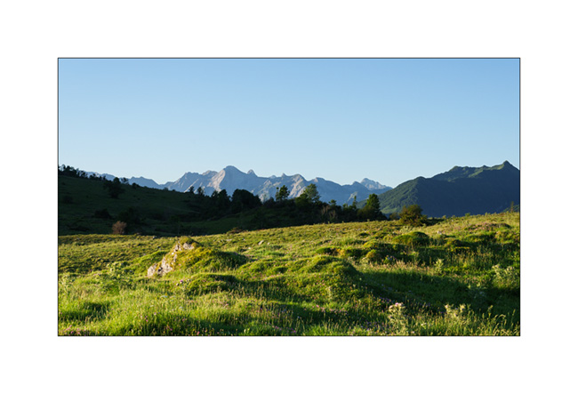
14. On the other side, the first peaks of the Pyrenees.
15. I go back down to our camp.
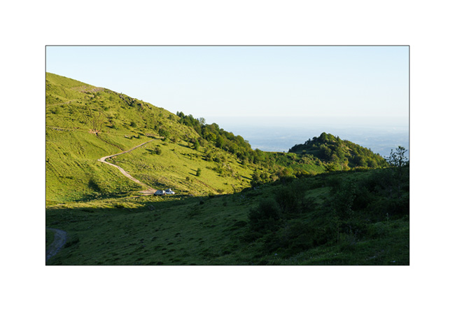
16. It’s time to pack up camp and say goodbye. We promised to do it again another time!
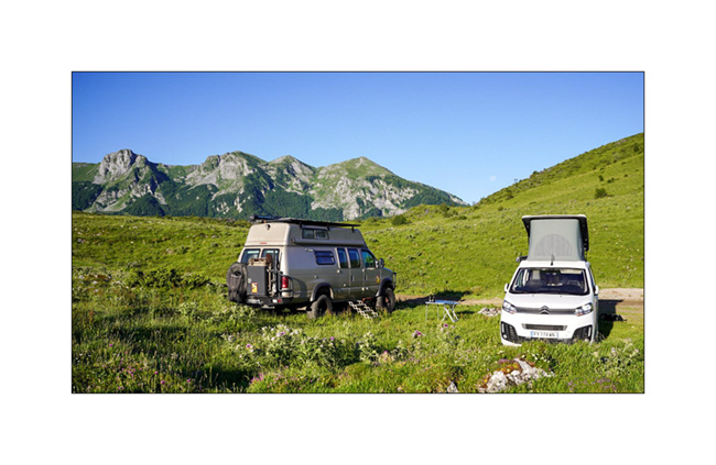
Photo FredW
More soon with the discovery of a rougier and an impressive bridge…
Thank you all for your loyalty to this little blog.. 😉
Picos de Europa (continued) and back towards East.
We go up the valley towards Sotres and leave the road on the right to discover a trail which climbs to almost 6,000 feet above sea level.
1. Alpine pasture at the bottom of the valley, before the climb.

2. As VivaLaVida gains altitude, the landscape becomes more arid.

3. Snack break!
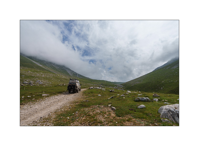
4. At the end of the afternoon, the convection of the day brings us a beautiful thunderstorm, forcing us to turn back.

5. Going down in the rain…

6. After the storm, we go up to discover a viewpoint on the opposite slope.
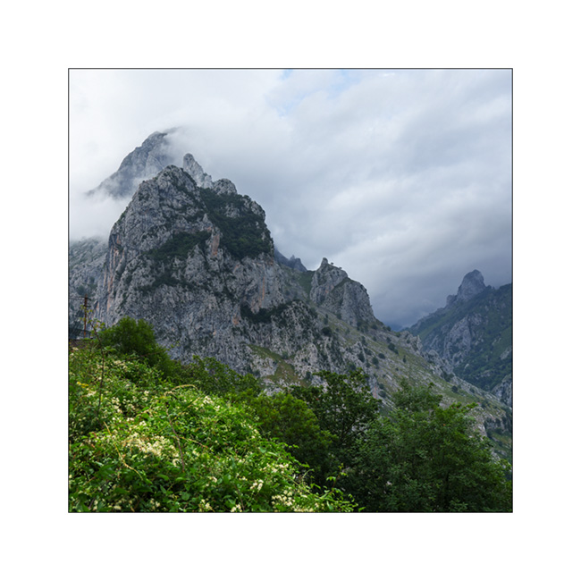
7. Small mountain church.
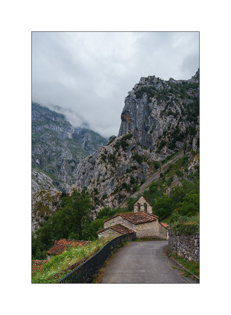
8. Then we head back east. Emile wants to go back to sleep at the surfing spot where we already spent a night.
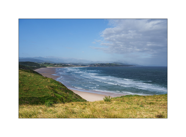
Along the road the next day, we make a quick stop to discover Santillana del Mar which also turns out to be a real tourist trap….
9. Village house.
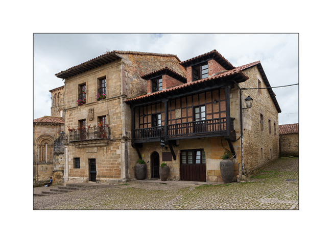
10. Church porch.

11. Entrance to the inner courtyard.
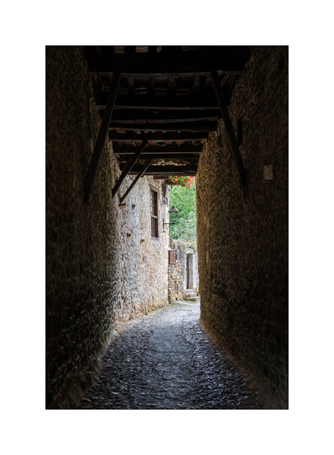
12. Large traditional house.

We continue on the road and reach the Spanish Basque country.
13. Nice bivouac on a ridge…

14. The sky is heavy at the end of this day.
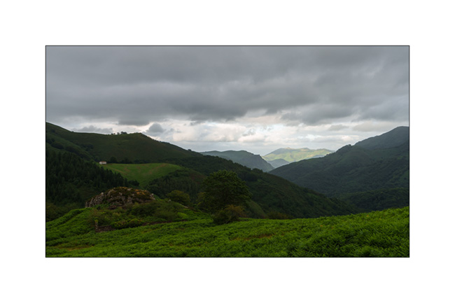
15. A visitor who comes to observe us closely at our camp.

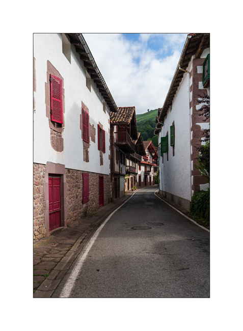
16. Last image of Spain in a pretty Basque village, the next morning, just before crossing the French border.
To be continued shortly with the rest of the trip: a stop in Navarrenx and a lovely bivouac with friends, in the foothills of the Pyrenees. 😉
 D5 Creation