river
now browsing by tag
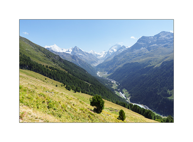
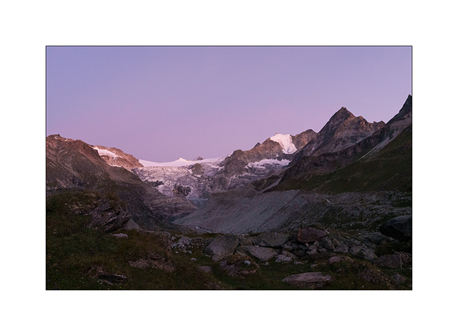
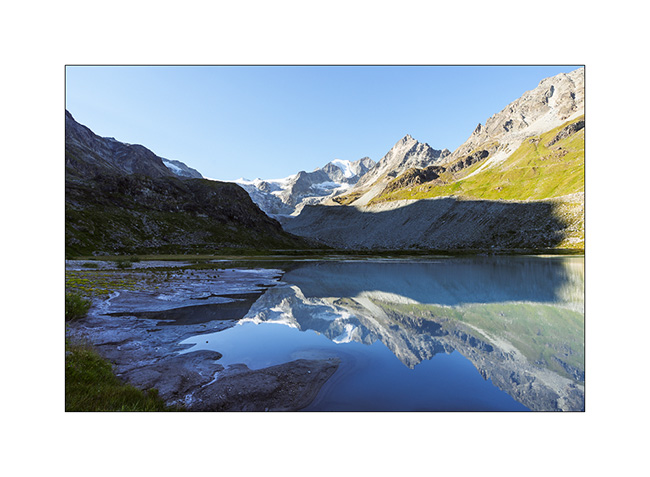
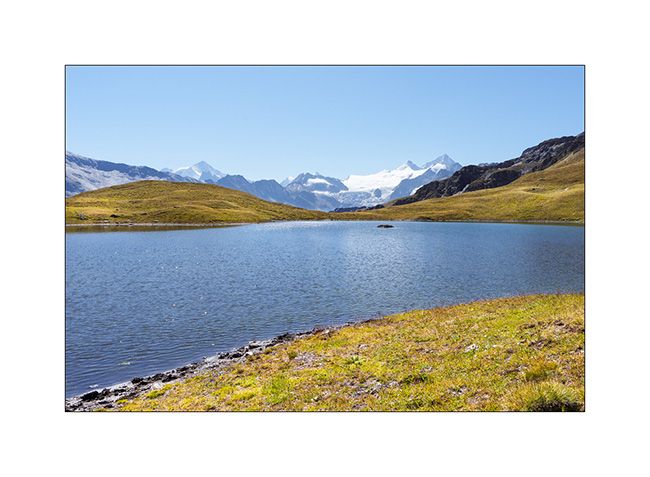
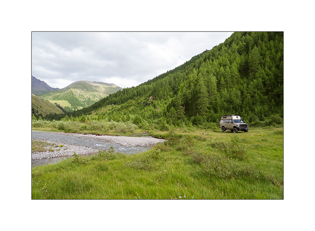
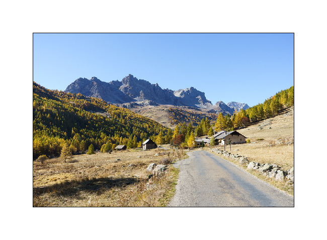
Valais : Anniviers Valley
While Emile continues his vacation with his mom, I go enjoying the summer in the Swiss Alps by doing a few days of mountain biking in Valais.
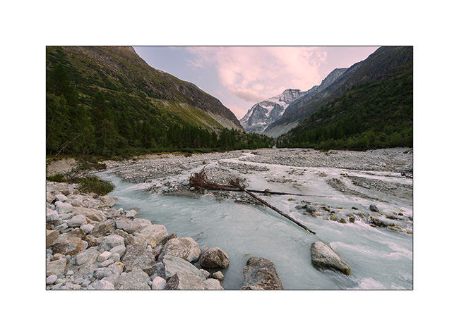
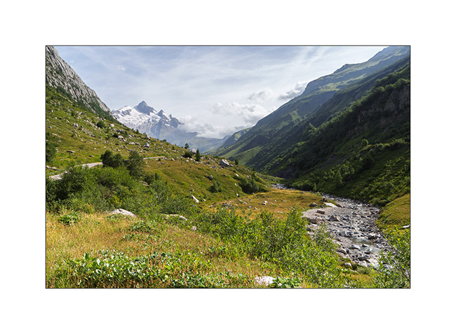
1. Arriving at the end of the day in the valley, I walk up the valley towards the Petit Mountet refuge.
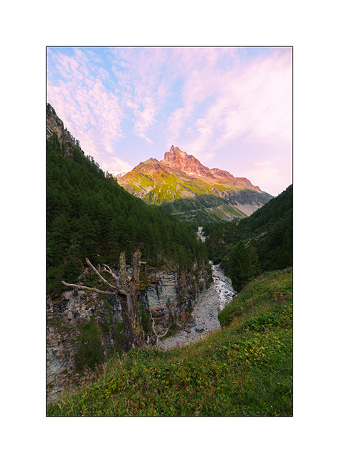
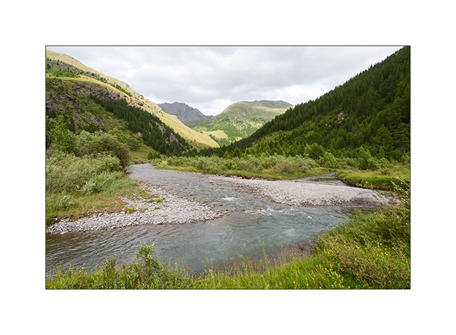
2. The Navizence River at sunset, downstream from the Zinal glacier.
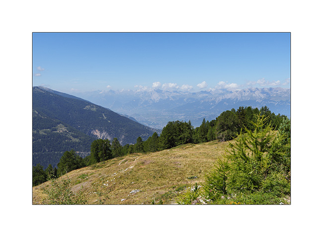
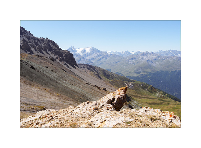
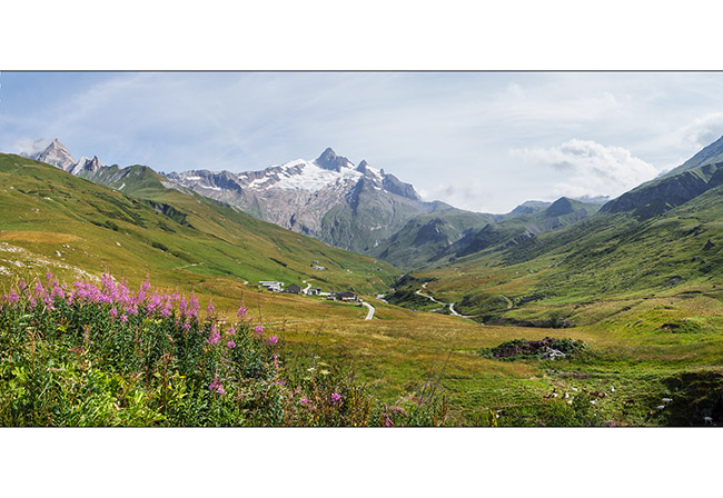
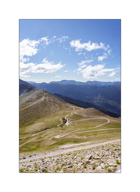
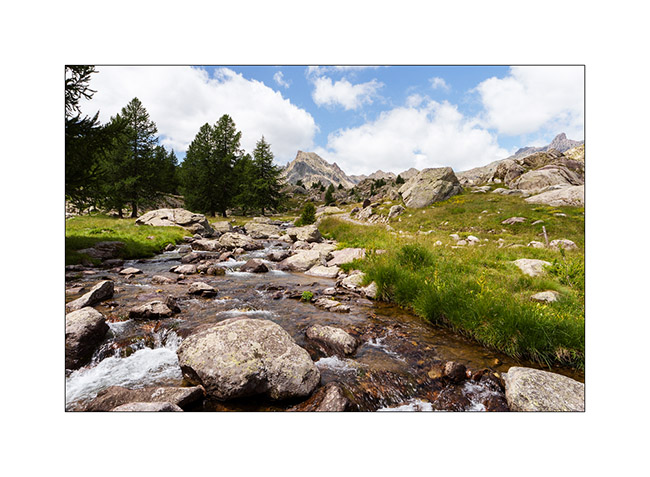
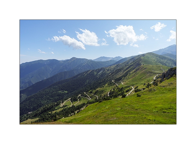
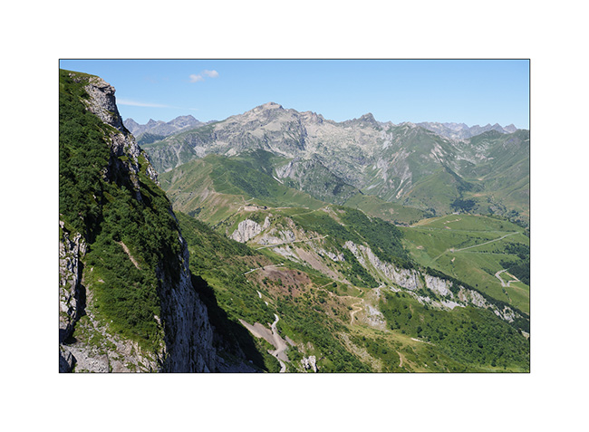
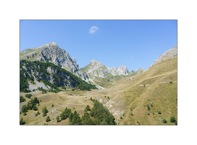
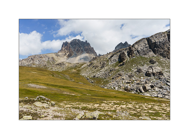
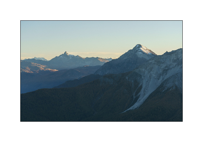
3. The next day, long 44 miles loop with a 5.5 hour ride. Views of central Valais from the heights of Chandolin..
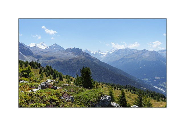
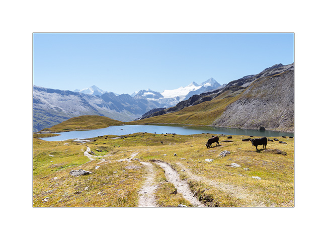
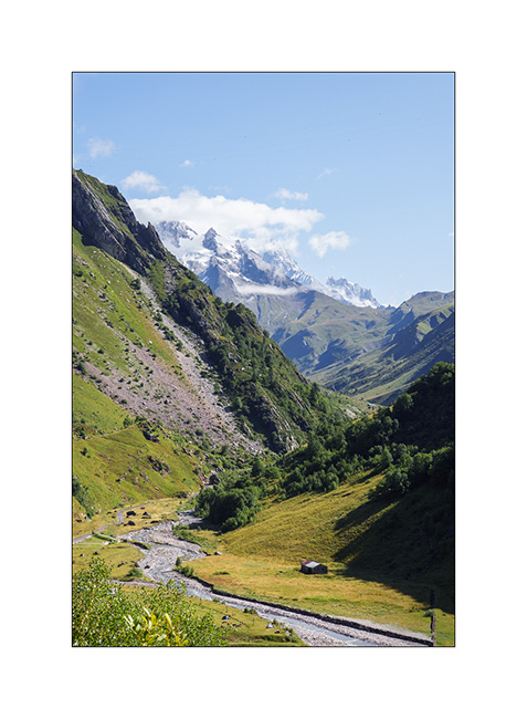
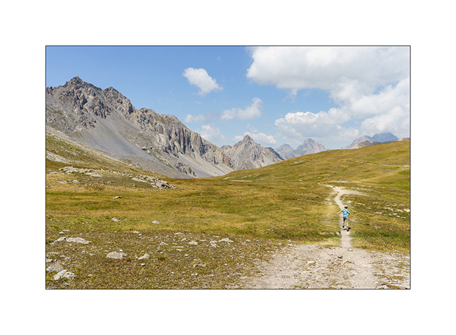
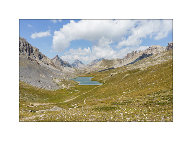
4. The upper Anniviers Valley from the heights of St-Luc.
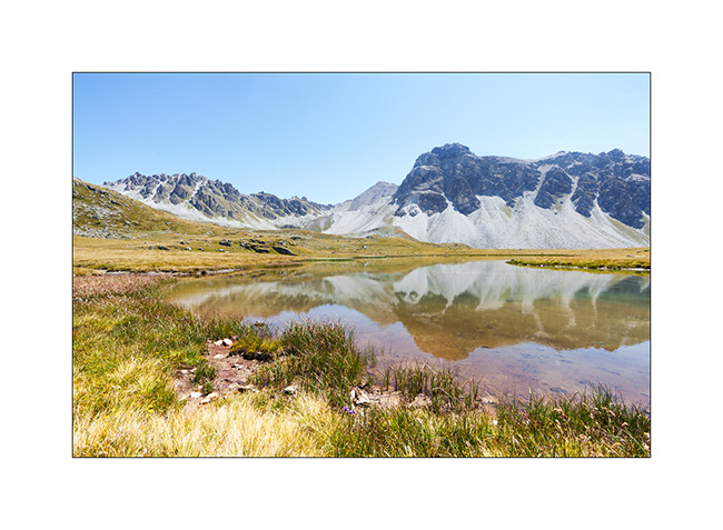
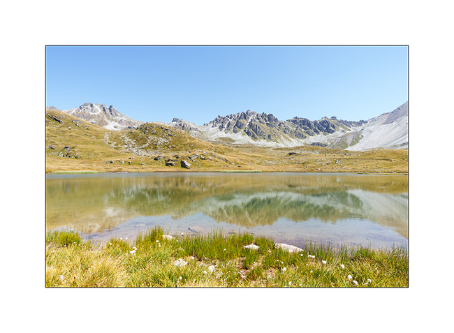
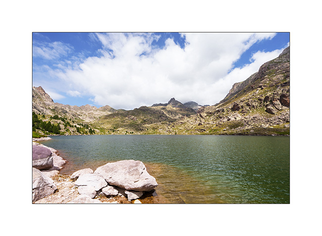
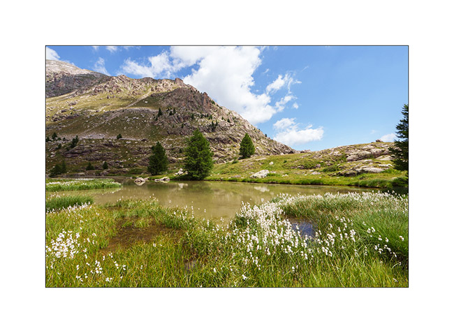
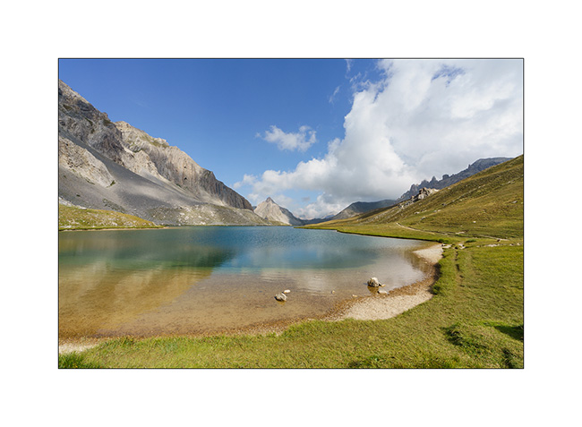
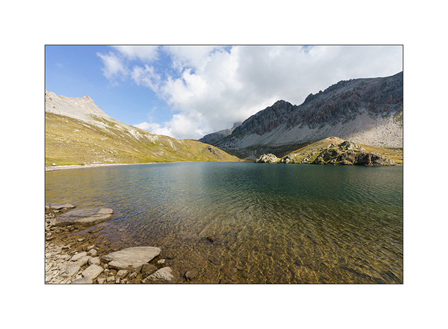
5. Mountain lake above Plan Torgnon.
6. …
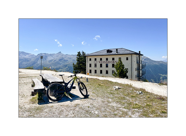
7. I make a detour to discover the famous Hotel Weisshorn.
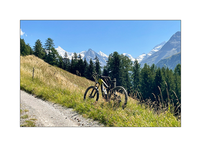
8. Going up towards Zinal, above Ayer.
9. View of Zinal and the final downhill.
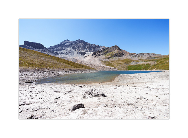
10. I go sleeping above the Moiry lake.
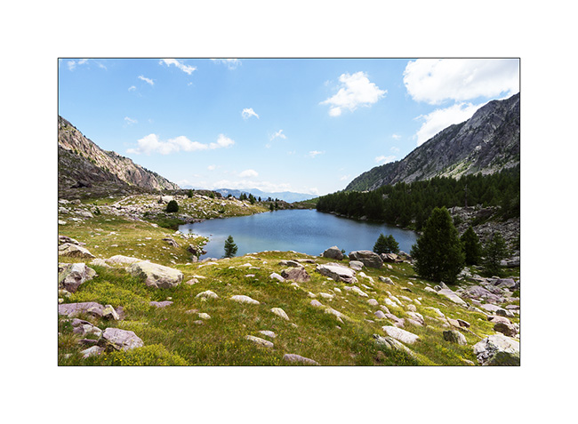
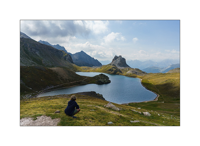
11. Châteaupré Lake in early morning.
12. Second mountain bike outing to Lake Autanne.
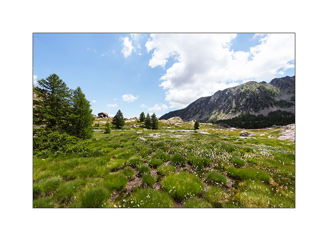
13. Alpine summer view…
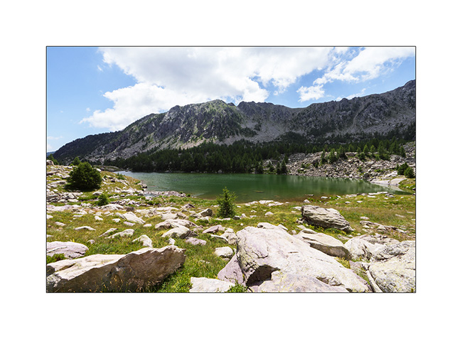
14. Launa lake.
15. Pass of Launa, a mecca of the Grand Raid VTT event.
16. From the Pass of Launa looking East.

That’s it for my first two days of mountain biking. More to come soon!
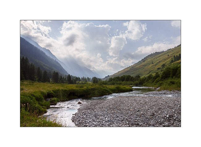
Valley of Glaciers
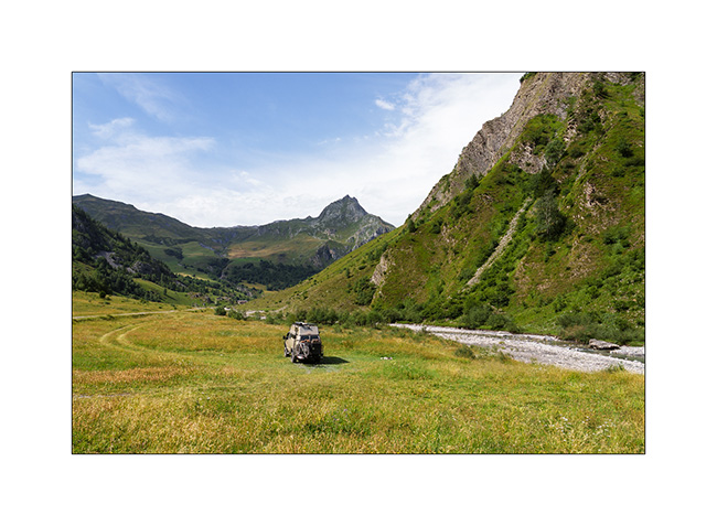
As Emile will soon be joining his mother for the rest of his holidays, we stop at the foot of the Val des Glaciers, near Les Chapieux. We spend a day there without moving VivaLaVida as Cormet of Roselend road is closed one day for the “Etape du Tour”. It’s the largest amateur cycling event with no fewer than 19,000 entrants who set off on one of the stages of the Tour de France: 85 miles and 12,500 feet of elevation gain!
1. We find a nice bivouac spot near the river.
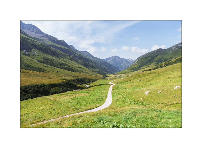
2. The next morning, we take the bikes to explore the Valley of Glaciers.
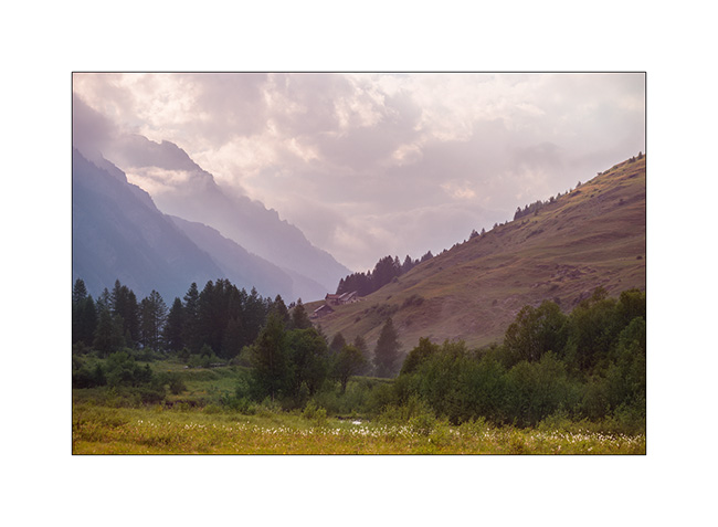
3. Panoramic view of the valley with the Aiguille des Glaciers towering above. The Tour du Mont-Blanc trail passes through this valley and the Pass of la Seigne, to the right of the needle.
4. As we look back, the small road that leads us to the Refuge des Mottets.
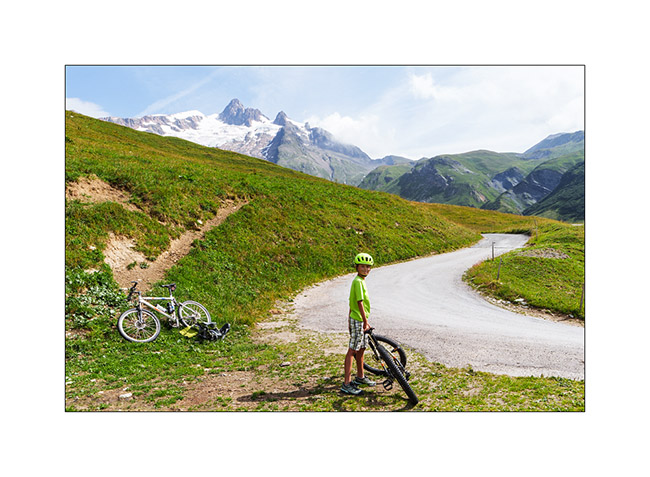
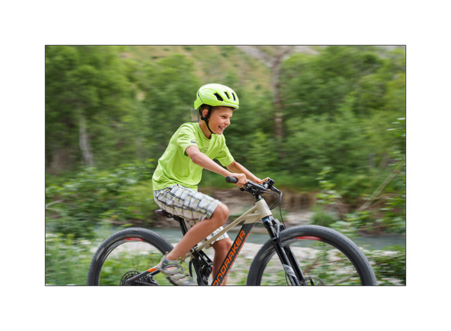
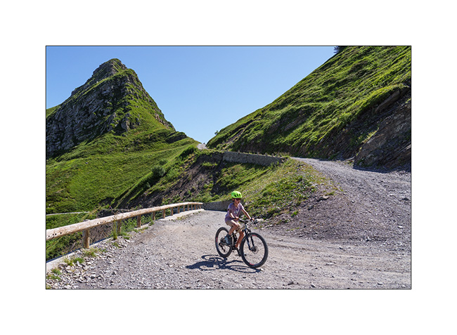
5. Despite the long climb, Emile once again makes it on his mountain bike !
6. Last look at the valley as we leave the next day.
7. And the last image of this holiday: a small chapel in Les Saisies, with the Aravis Mountains in the background.
The year of VivaLaVida continues with a mountain bike getaway in Valais, a few weekend outings followed by the fall break.
Find out more here soon! 🙂
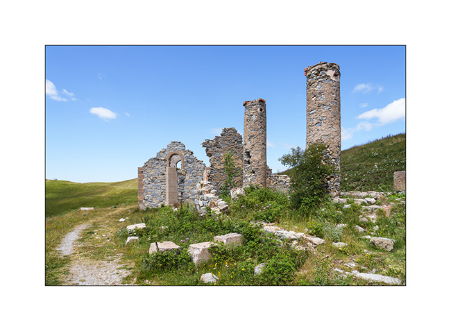
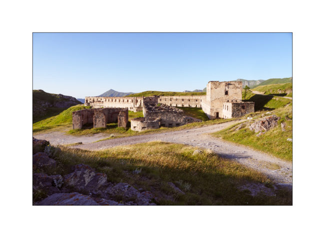
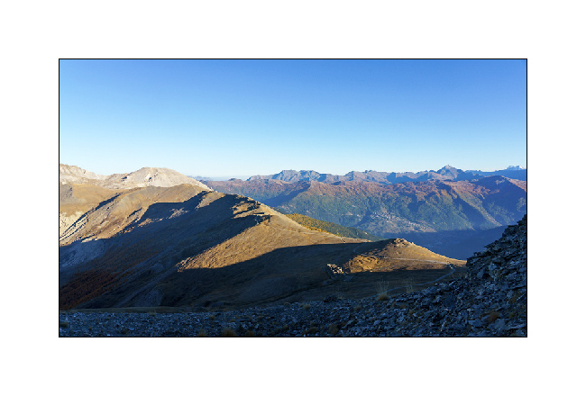
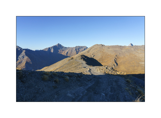
Jafferau fortress and Ecot Gorge
1. Fredda Valley in the morning.
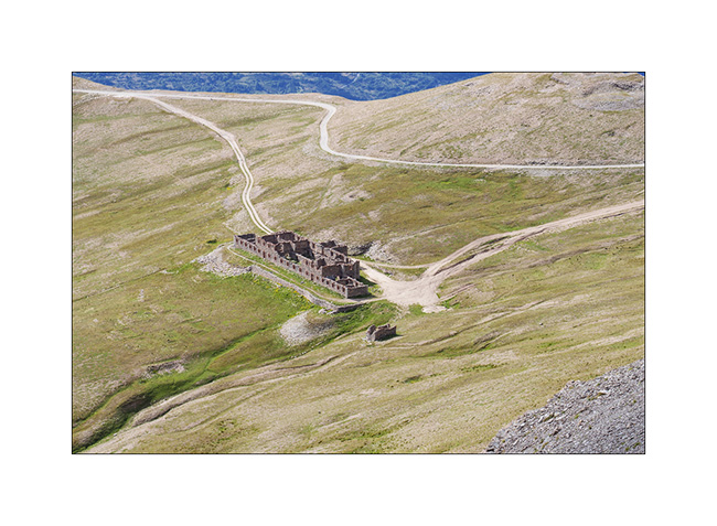
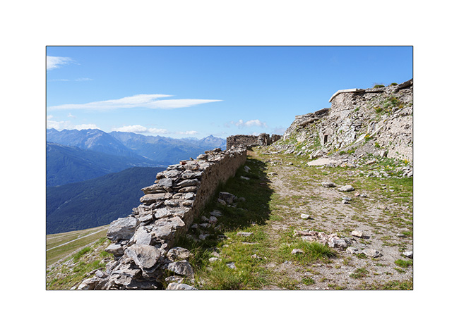
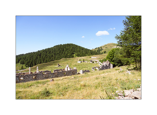
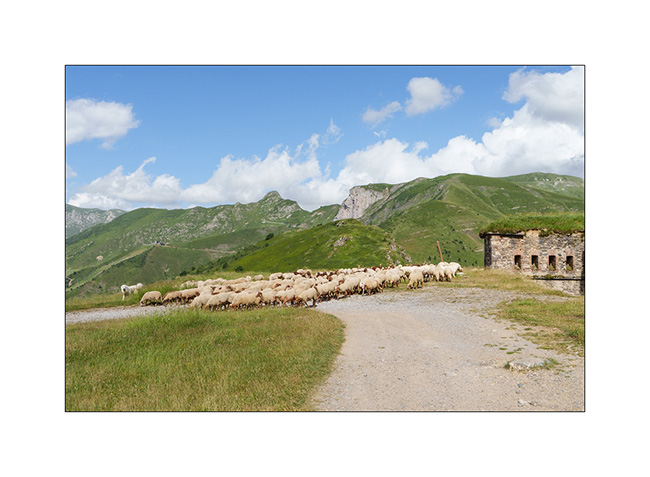
2. Barracks of Pass Jafferau.
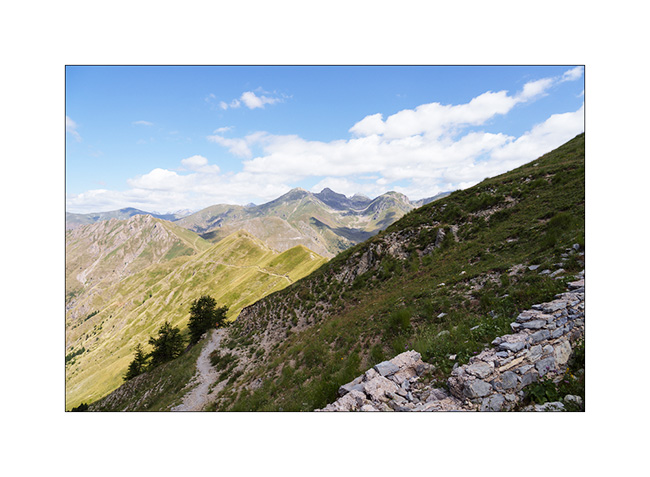
3. From the summit, the panorama towards South with the track that brought us here. It’s definitely steeper than it seems.
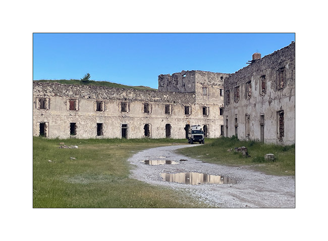
4. Jafferau fortress ruins.
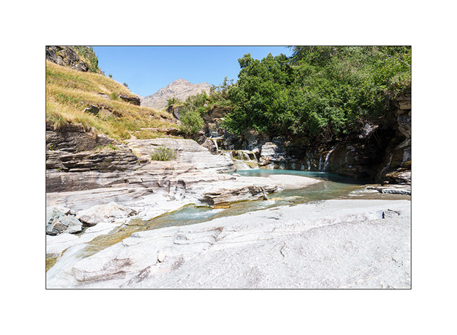
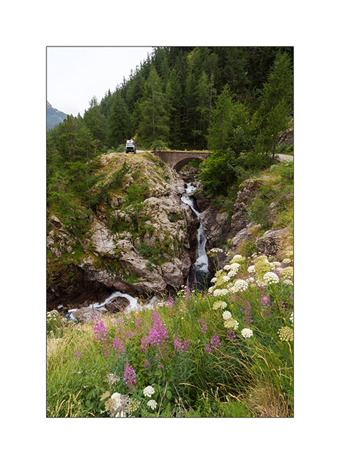
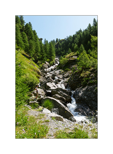
5. After a boondocking at Mont-Cenis, we go discover the Gorges of l’Ecot, above the village of Bonneval-sur-Arc.
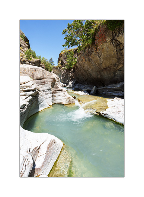
6. One part – just about an hour’s walk from Bonneval – is spectacular.
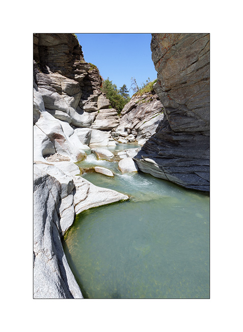
7. When water carves rock.
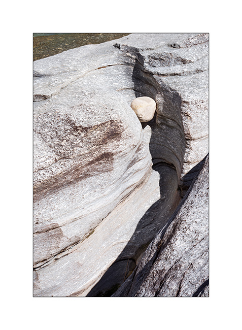
8. There are some beautiful pots.
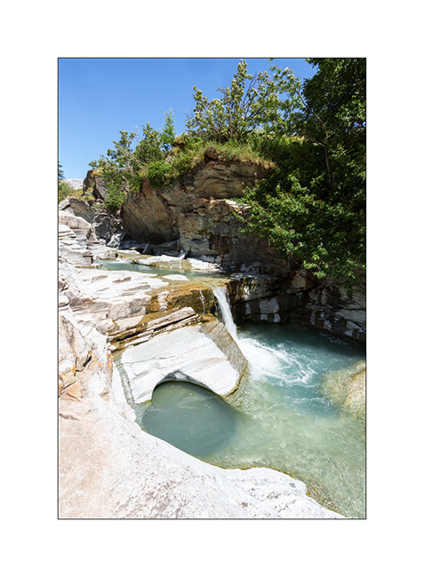
9. Wide shot of the lower entrance to the gorge.
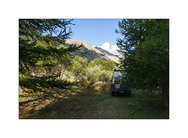
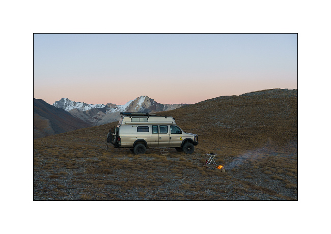
10. We go sleeping further down in the Arc Valley, after having crossed it by ford to reach a quiet spot.
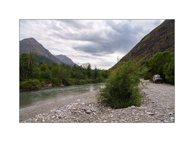
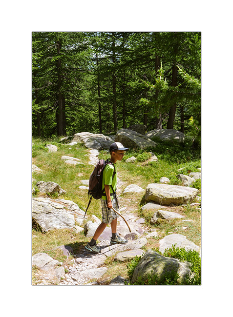
11. Emile takes the opportunity to practice his cycling! 🙂
12. …
There is one last post to publish soon which will conclude the story of these short summer holidays. 😉
Turini and Miniere Valley
1. Just a few miles above our camp, we discover the old Turini barracks.
2. Views of the Mercantour Park are magnificent.
3. Another ruin, the Trois Communes barracks.
4. Going down to Sospel, the Chapel of Notre Dame de la Menour.
5. The next day, we take a long hike to discover the Valley of la Minière and its lakes.
6. After more than 5 miles, we approach the first lake, the Lac Long Supérieur.
7. It is the largest since the construction of a small dam at its end.
8. After discovering Lake Fourca, above the Merveilles refuge, here is Lake Soargine, at the start of our descent.
9. From another angle.
10. The marshes below the lake are gorgeous.
11. …
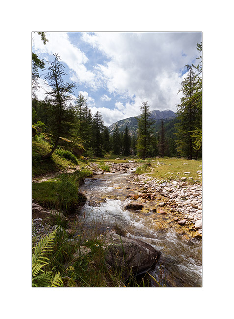
12. The river Miniere, carving the valley.
13. Almost back tout VivaLaVida after more than 15 miles of hiking.
14. Tired, we enjoy VLV’s shower and head straight to a boondocking spot I spotted in 2017, at the start of the western part of the Alta Via del Sale.
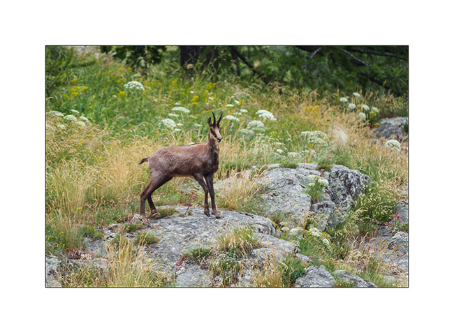
15. Nice surprise while preparing the aperitif: a local resident comes to eat nearby..
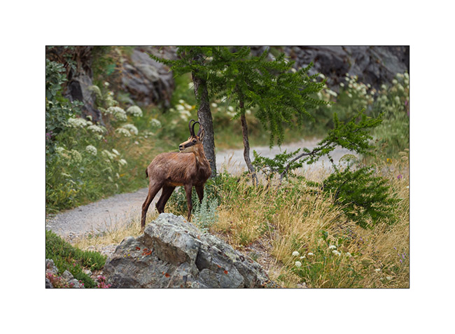
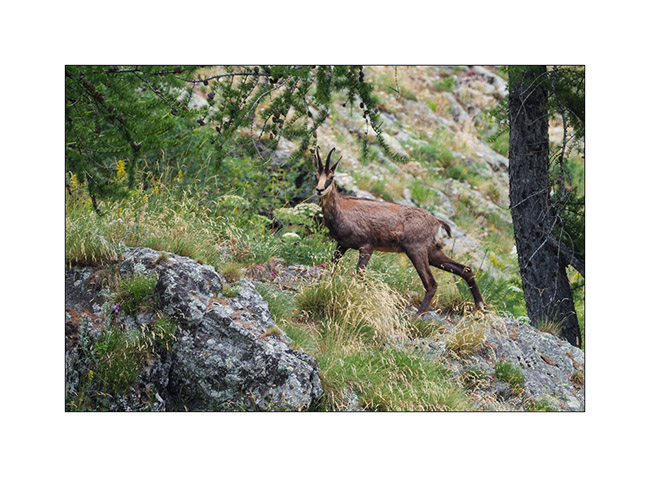
16. We watched him for a good 15 minutes when he was only about thirty feet away until a car coming onto the track made him go up the slope.
17. …
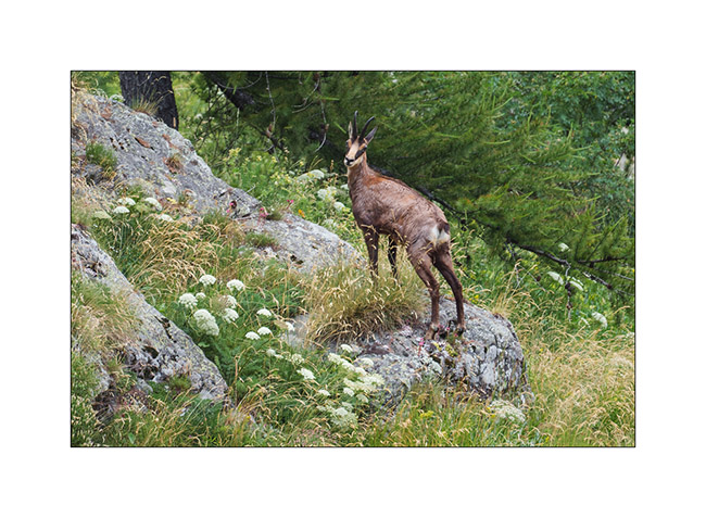
18. … before disappearing into the bushes.
More coming soon… Thanks again for your loyalty to this little blog! 😀
Argentera Valley & Pass of Tende
As previously mentioned, we’re delaying our descent to Tende as the weather isn’t favorable. Emile wanted to return, so we head up to the Argentera Valley. Access is now subject to a toll, with a toll booth on the bridge at the entrance to the valley.
We are a little disappointed to discover that major protection works have been undertaken, no doubt following recent heavy storms. Several areas of earthworks aimed at channeling lateral streams disfigure the lower part of the valley and greatly reduce its charm. Fortunately, higher up, nothing has yet been undertaken.
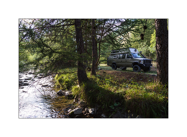
1. We find a nice spot down by the river.
2. View from our camp.
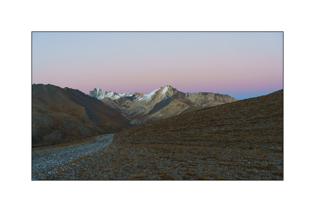
3. End of day tones.
4. The next morning, we take a walk upstream to discover a beautiful torrent.
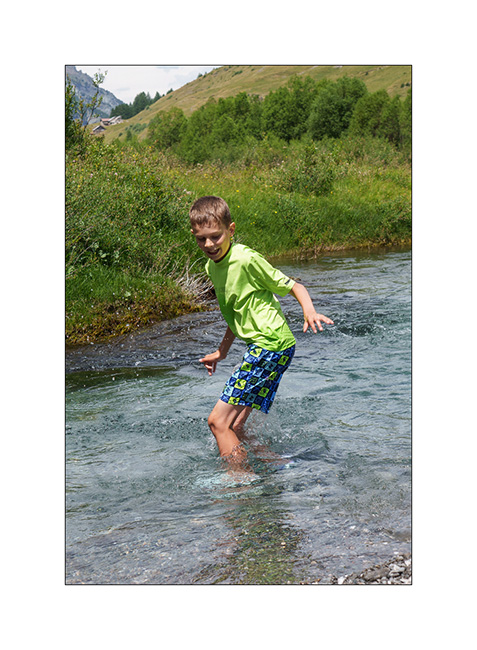
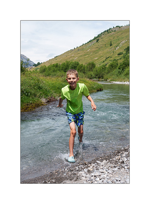
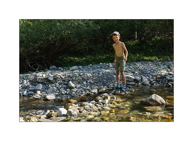
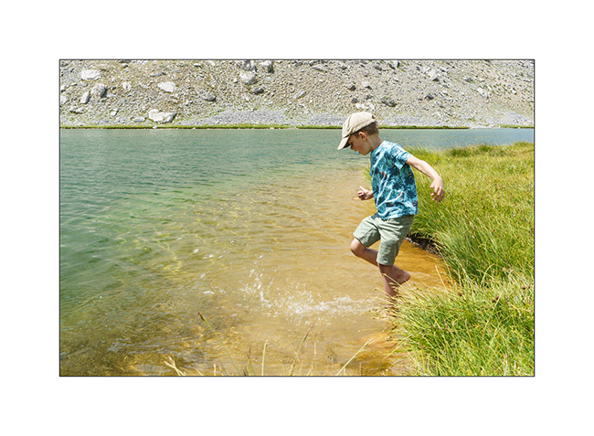
5. Back at our camp, Emile takes the opportunity to cool off in the river.
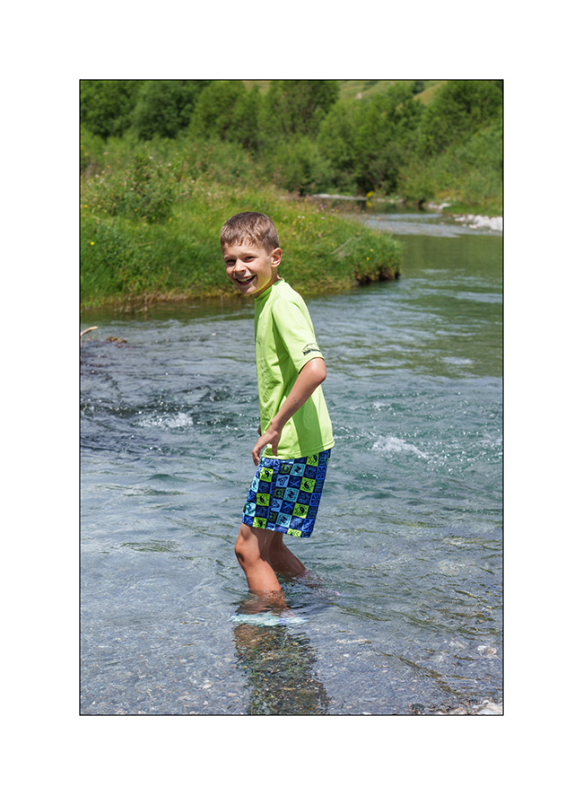
6. Brrrr… it’s cold!
7. …
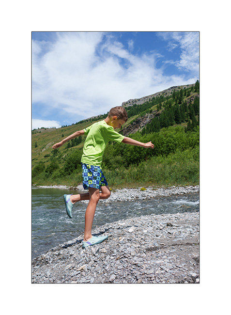
8. But it feels good!
9. The upper part of the valley remains quite wild.
With the weather improving in the South, we head down to Tende where we hope to discover the Alta Via del Sale (High Salt Road), an approximately 55 miles long trail that follows the ridgeline border between Italy and France. We did the Western section in 2017 but not the Eastern loop.
10. The hairpins of the Col de Tende on the French side (South). This trail is closed to traffic for several years.
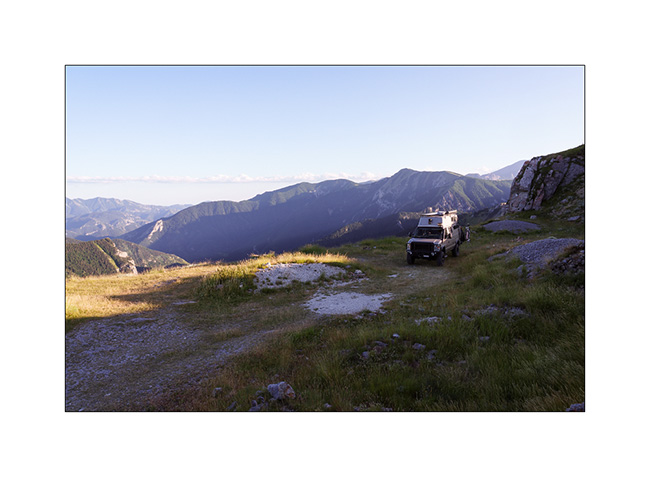
11. Meet upon arrival at Fortress Central.
12. First night in the barracks, alone that evening.
13. Since it’s Tuesday and the regulated section of the Ruta del Sale is reserved for pedestrians and bicycles on Tuesdays and Thursdays, we set off to discover the beginning by bike. Here, on the climb to Campanino Pass, with Fortress Central in the background.
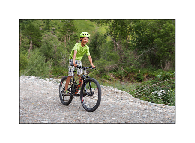
14. Emile is comfortable on his new mountain bike, even on climbs.
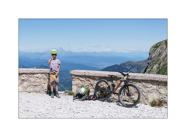
15. In the end, we rided 12 miles and 13,600 feet of elevation gain. Well done to him!
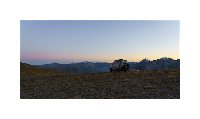
16. Second night in one of the old quarries used to build the barracks, for sheltering as a strong north wind is blowing.
17. Barracks at sunset.
To be followed in a few days…
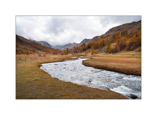
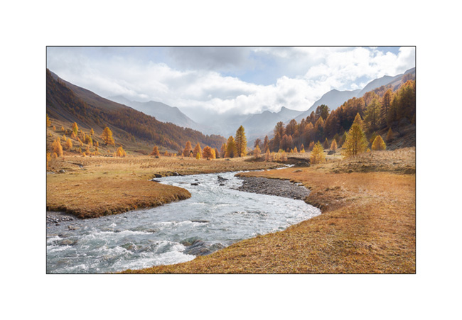
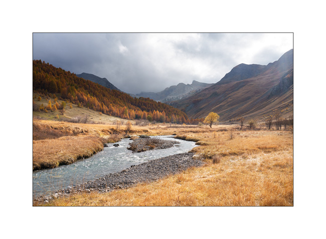
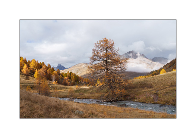
Haute-Ubaye
Coming down from Larche Pass (Colle della Maddalena), we go discover the Lautanier valley.
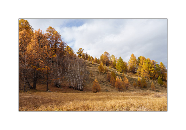
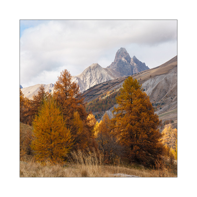
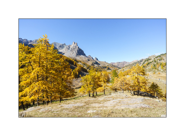
1. Fall colors are everywhere.
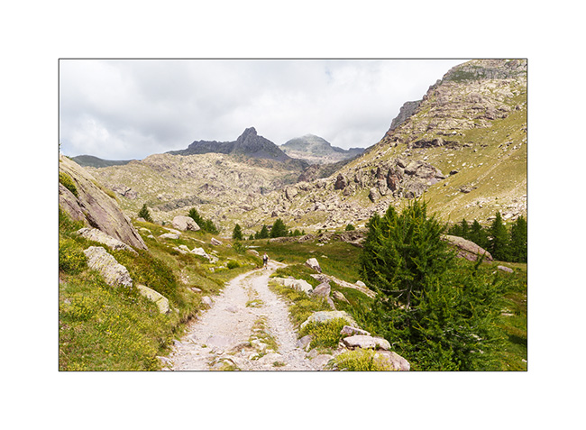
2. Hiking up the valley.
3. Meander.

4. A hiker on the bridge. 😉
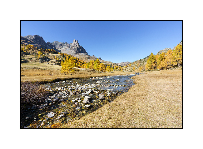
5. Ubayette River which dug the valley.
6. Larches and birches.
7. Further up in the valley.
8. Fall atmosphere.
9. Birch trunks.
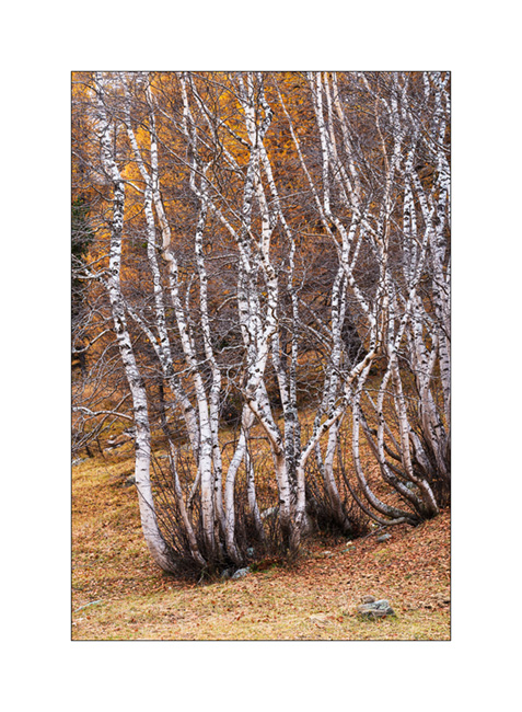
10. Ubaye Valley.
11. Our boondocking spot along the river Ubaye.
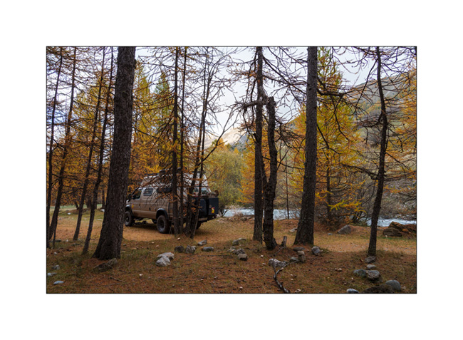
12. We made a campfire there between the raindrops.
Continuation of our way back shortly.
Lakes in Ubaye
We leave this beautiful place to discover others…
1. Going down from Colle Fauniera.
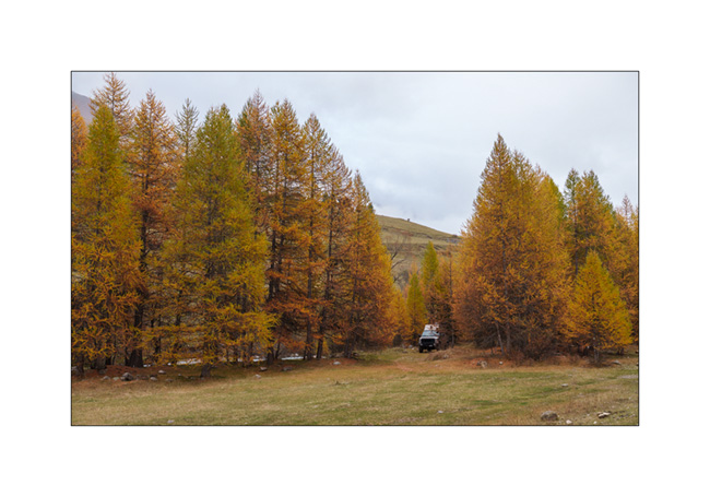
2. We find a boondocking place on the edge of a pretty river, very close to the French border from where we will hike tomorrow.
3. …
4. And we build a dam on the river!
5. …
6. …
7. Leaving VivaLaVida early the next day for a nice mountain hike to discover several lakes.
8. The goal of our day: the Lake of Roburent which I wanted to discover for a long time.
9. That’s where we picnic…
10. .. and Emile plays for a while.
11. We start the way back with a climb to the Col de Roburent.
12. Emile frolics like a goat!
13. The valley we descend with the Lake of Orrenaye.
14. We stop there to refresh ourselves before returning to camp at the same place as yesterday…
Continuation and end of our three week trip shortly. 😉
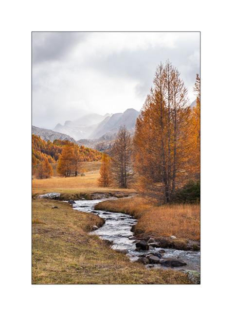
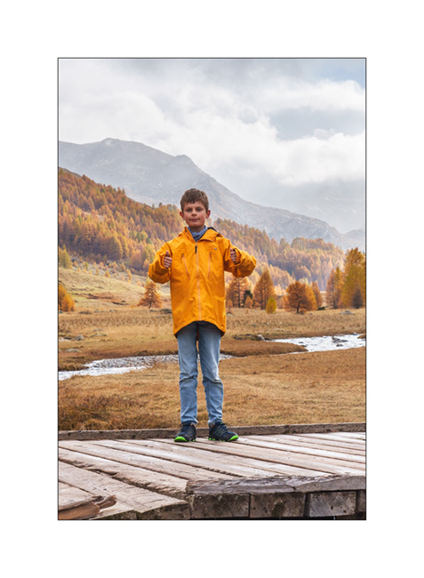
Fall holidays (3)
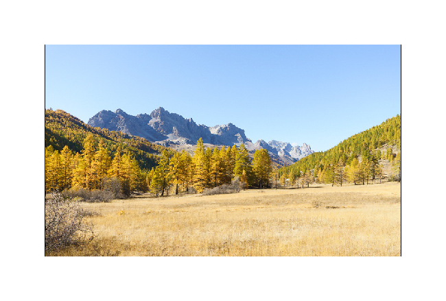
1. This high valley of the Clarée is just magnificent at this season!
2. Back from our hike to Long Lake, we still walk along the river.
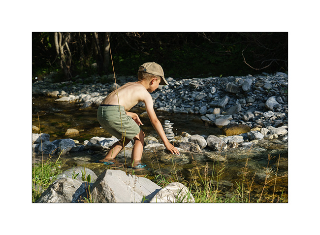
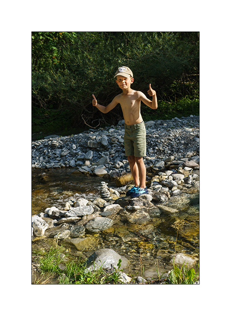
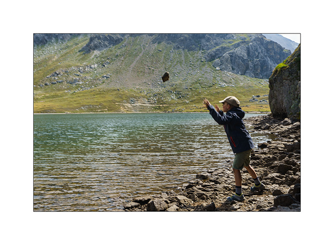
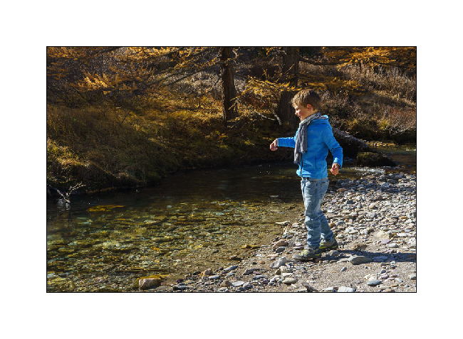
3. Emile takes the opportunity to play one of his favorite hobbies:
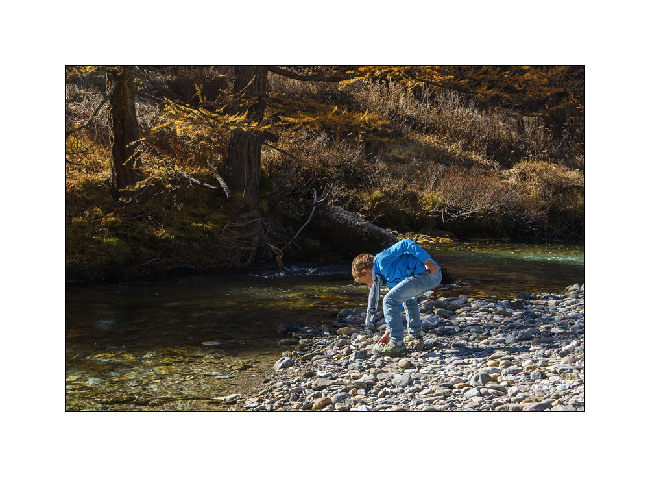
4. … throw stones in the water!
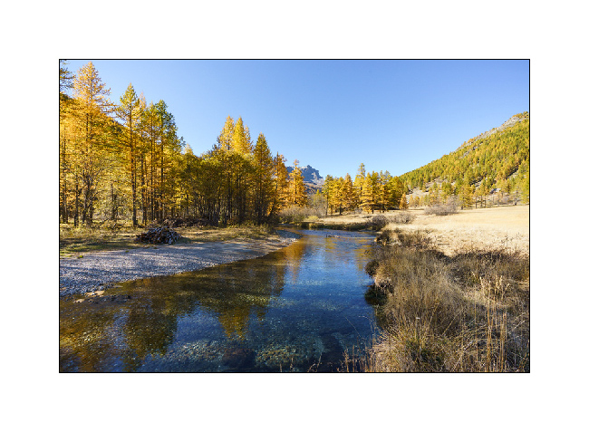
5. I enjoy the superb views over the valley.
6. What a beautiful alpine river!
7. Last look on the way back down to Bardonecchia.
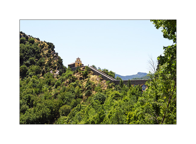
8. Back in Italy, we take a trail to Fort Jafferau, a former Italian fort built at the top of Mount Jafferau, at 9,150 feet elevation.
9. While the west slope climb is steep and requires the use of short gears for several miles, a pipe from VLV’s cooling system cracks, forcing me to stop for two hours to make a makeshift repair. But we still get to the top at the end of the day.
10. As the wind is still blowing strong, we descend a few miles on the other side for the night.
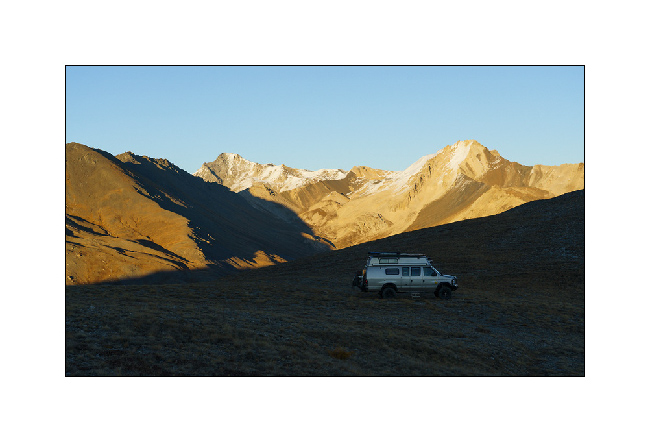
11. The end of the day offers beautiful views.
12. The sun has already set when I light the fire. A red fox comes and watch us from just a few feets away while I cook on the campfire.
13. Dusk…
14. … before a night lulled by the wind.
that’s it for today. I have one last article to be published soon, which will close this 2021 season in VivaLaVida. 🙂
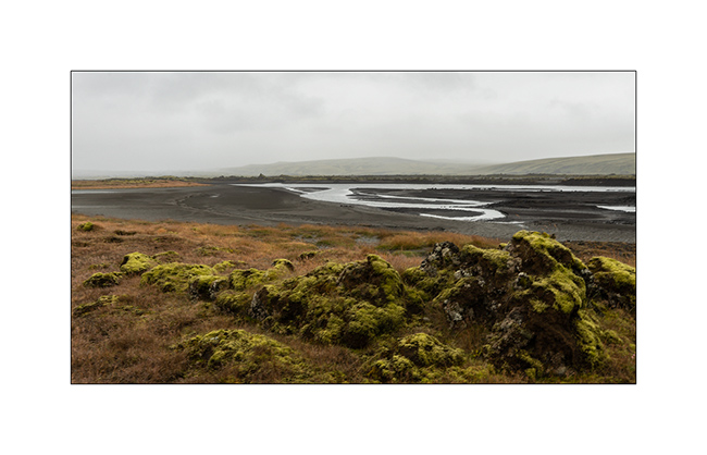
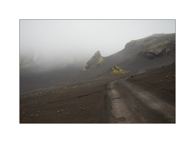
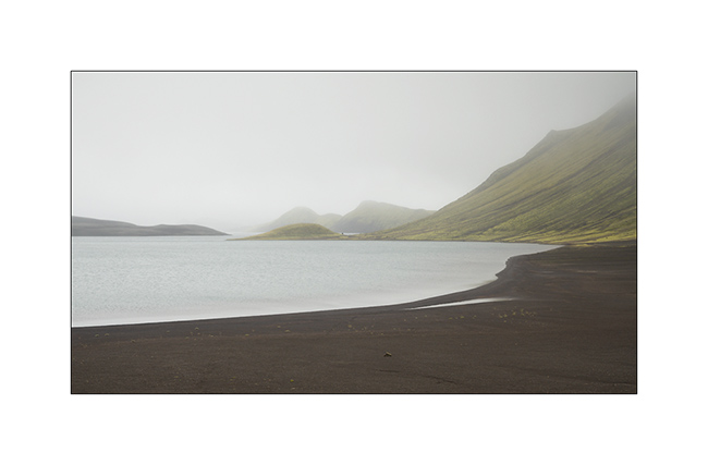
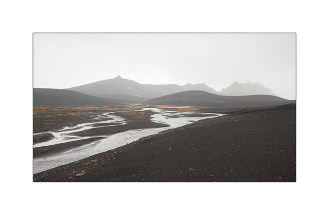
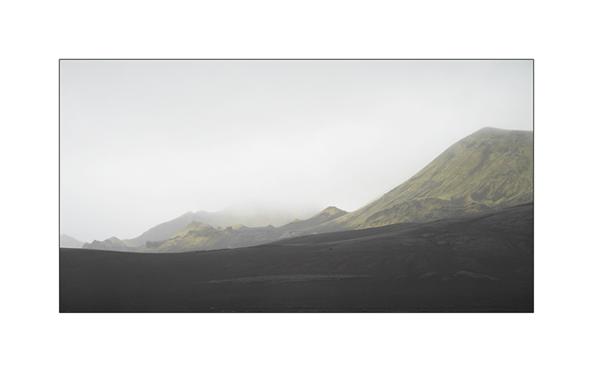
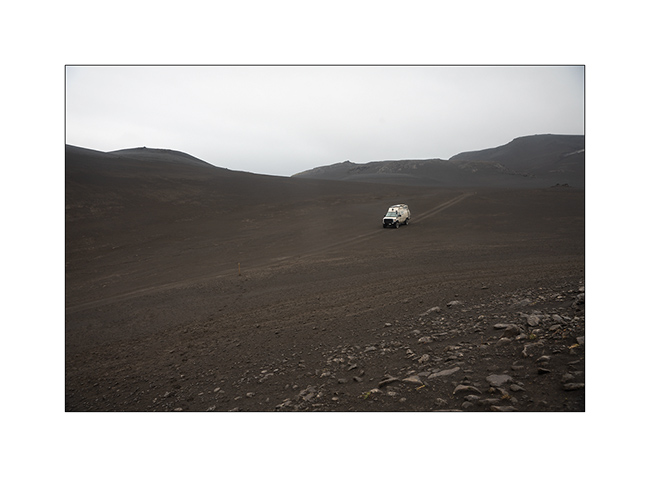
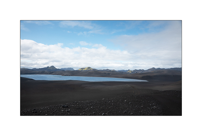
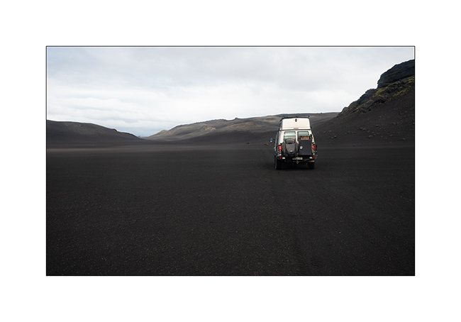
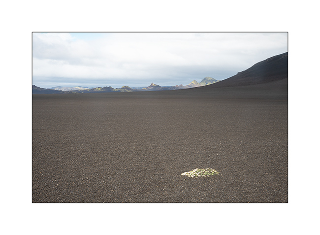
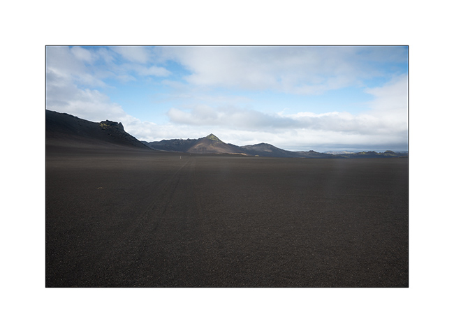
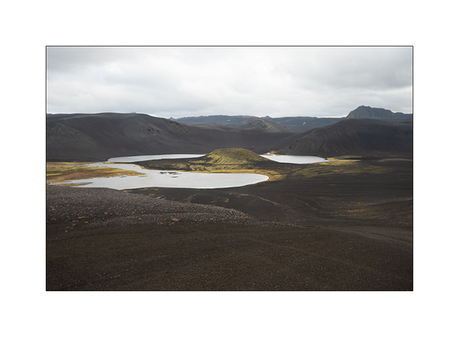
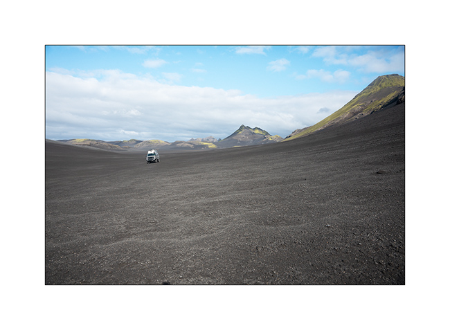
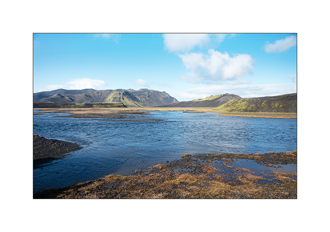
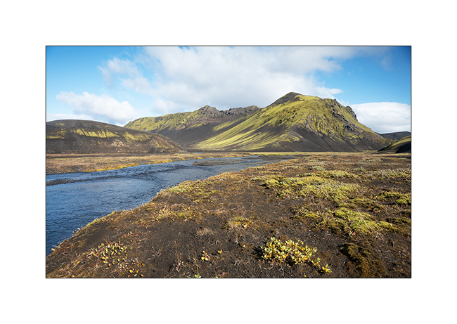
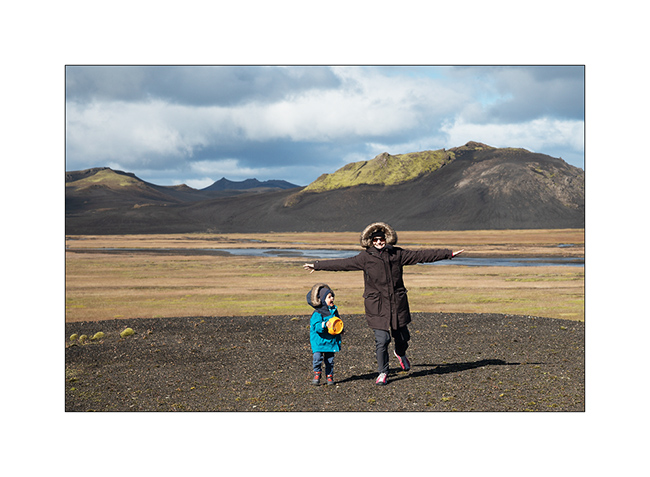
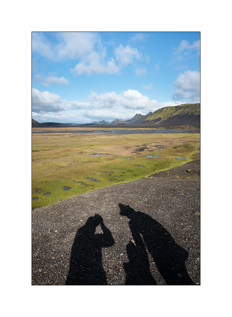
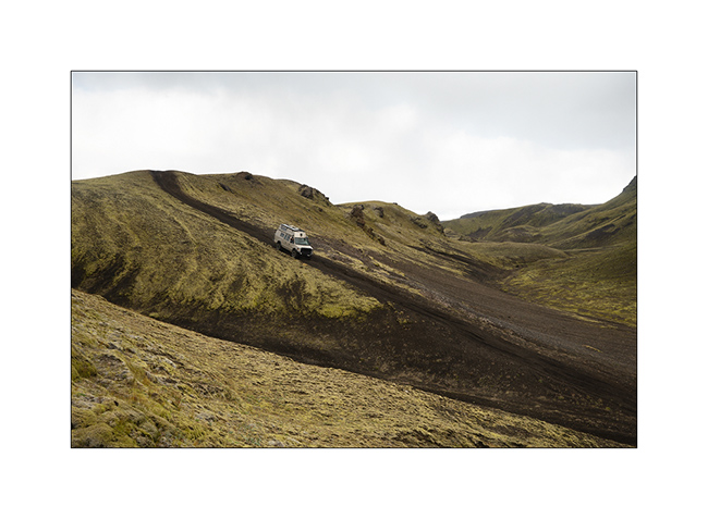
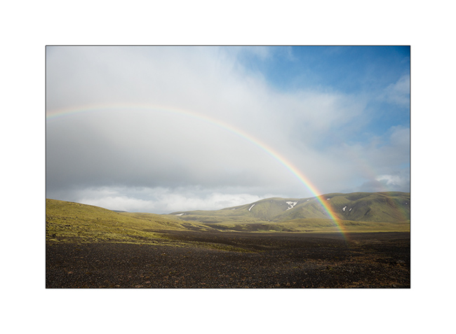
Path less traveled…
After the Lakagigar, rather than go directly to the Landmannalaugar on F208, we decided to go to Langisjór Lake via some less traveled trails that proved to be gorgeous…
1. River in the rain, along Southern F208.
2. Rather curious sign, isn’t it? In fact, the trail goes into the lake on approx. 300 yards.
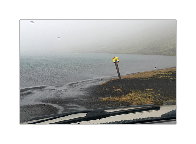
Here is a video of this unusual path done by Isabelle. The weather was windy, with rain and fog…
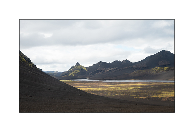
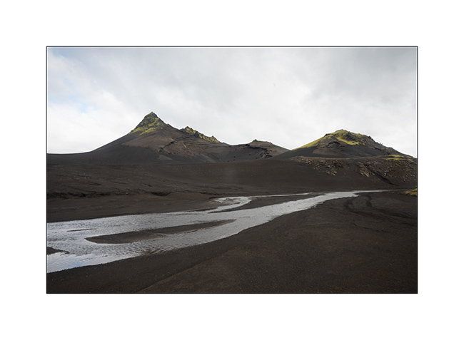
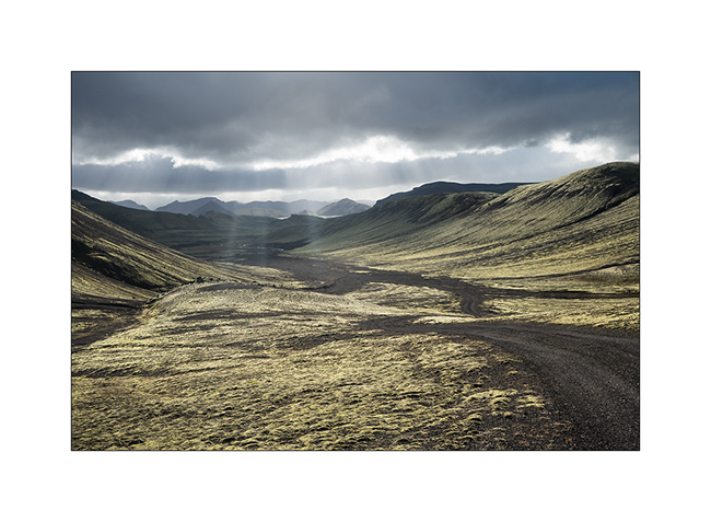
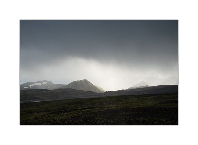
3. In places, everything is only mineral.
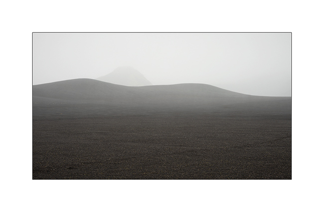
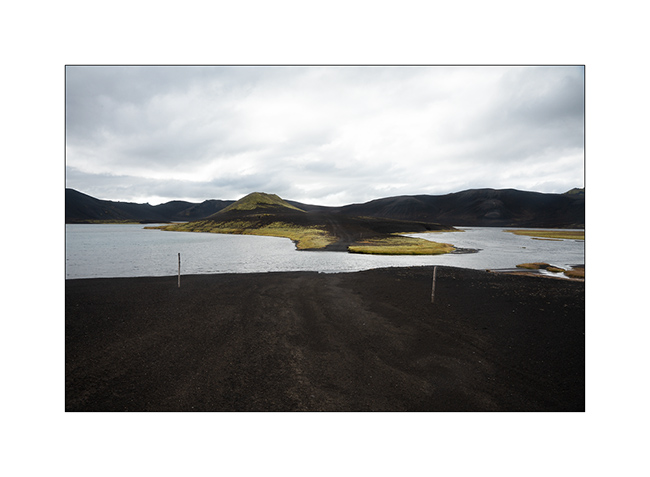
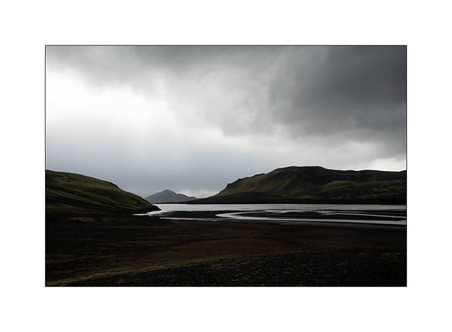
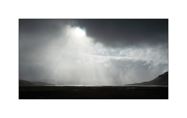
4. Langisjór lake in the rain.
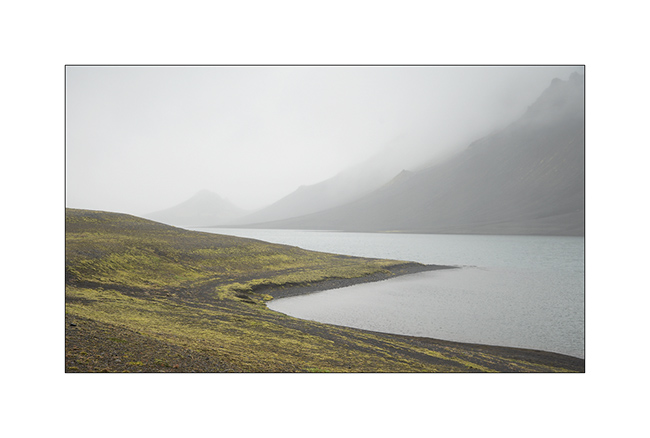
5. Trail…
6. …
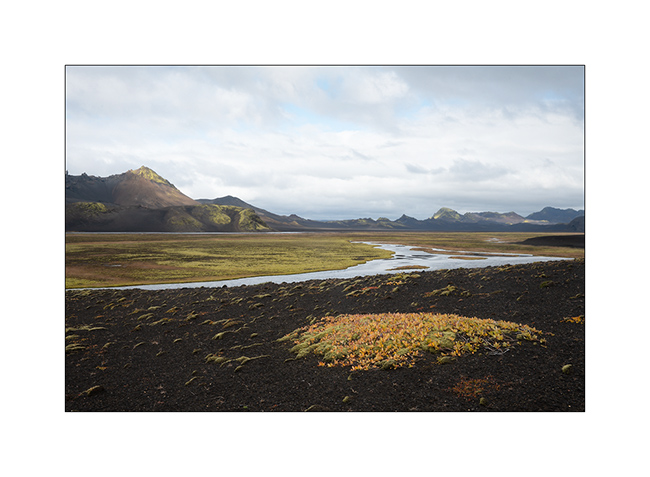
7. River…
8. Fog…
9. VivaLaVida riding the moon.
10. The rain finally stops.
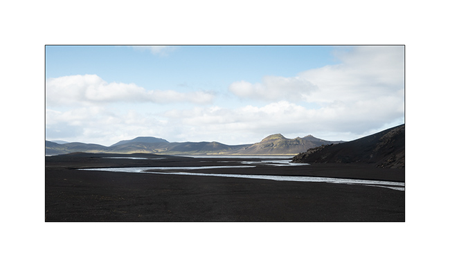
11. Invisible track. Thank you GPS.
12. Desolation…
13. … and blackness.
14. But these landscapes are amazing.
15. The trail crosses another lake.
16. Contrasts are everywhere.
17. Our trail seen from the top of a hill.
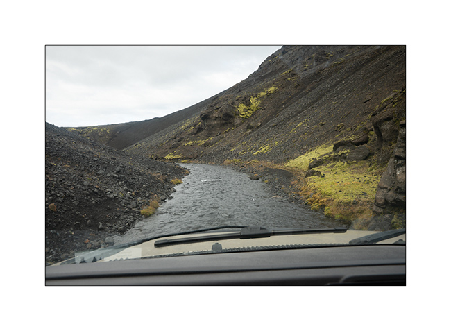
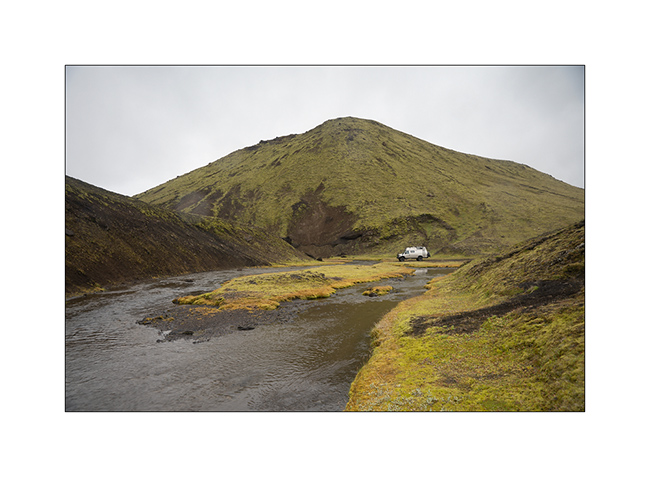
18. After driving in a lake, here we follow the riverbed for nearly one mile to change the valley! 😉
19. …
20. Fairy…
21. …
22. Another ford.
23. … and another.
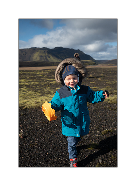
24. We walk and play too!
25. Selfie 😉
26. Emile loves it.
27. Late afternoon contrasts.
28. …
29. In places, this track less traveled requires a good 4WD transmission, as here in a steep descent.
Here is another short video showing this trail. In video background, we can see the continuation of the track over the river, which goes up in the hills.
30. Rain showers are back.
31. …
32. …
33. Another particularly saturated rainbow.
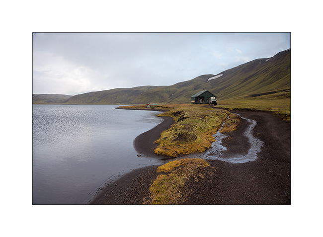
34. We spend the night on the shore of a lake, near a shelter already closed for winter…
Hoping that this update won’t have been too long… 😉
To be followed in Landmannalaugar soon.
Way back from Florida (add)
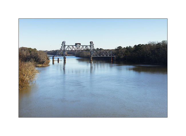
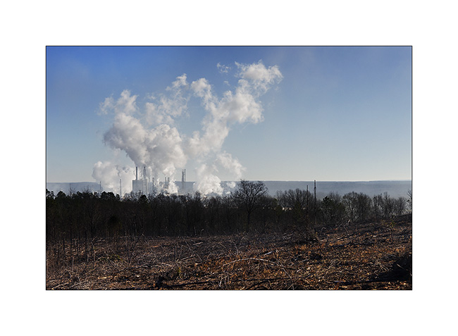
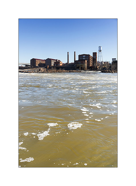
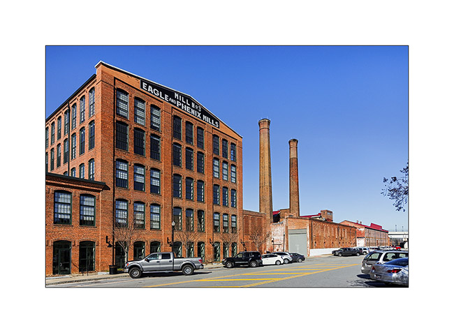
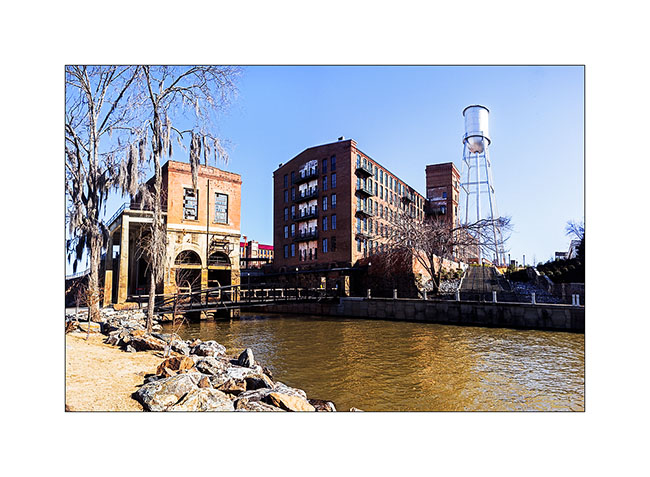
In my last post, I forgot to show you pictures of Phenix, a small town in Alabama that was built along a river right next to the only rapids around. The river “falls” of about 25 feets on three or four hundred yards. This enabled the construction of mills, particularly those used by the cotton industry, a major in the region. Today rehabilitated as homes and offices, the area looks really friendly. Here are some pictures of this beautiful little town.
1. Disused drawbridge, downstream of the city
2. Trees of the surrounding forests is here transformed into paper and cardboard.
3. Arrival at Phenix, view of the river. The Indians believed that a monster once lived in these rapids and removed some canoe or raft trying to cross it…
4. The neighborhood of old mills…
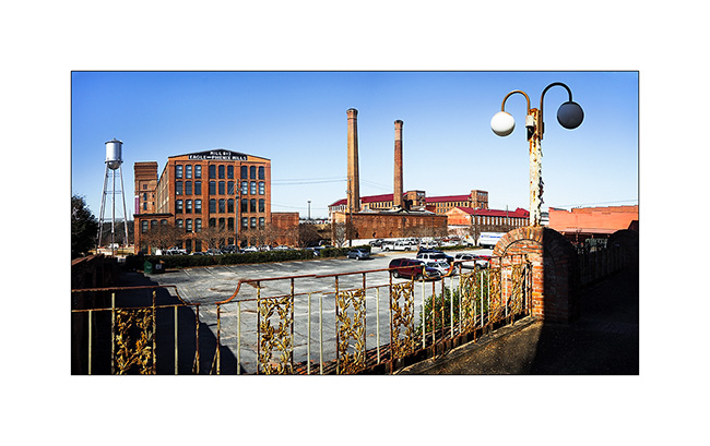
5. Reconverted industrial buildings…
6. To the left, the building that contains the Pressure pipes and turbines, now out of use. (panoramic of de 3 vertical images)
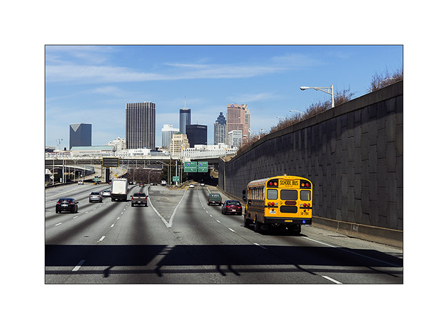
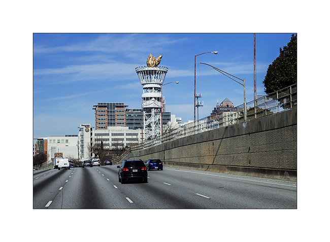
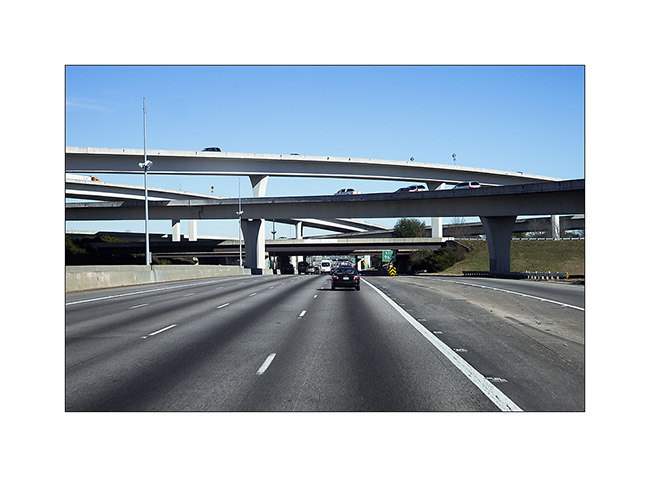
Here are also three pictures taken when going through Atlanta…
7. Downtown
8. Remains of the Atlanta Olympics…
9. A five floors highway junction..!
That’s it for this supplement…Enjoy the weekend! 😀