Hautes-Alpes
now browsing by tag
Pass of Valbelle
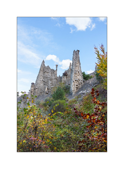
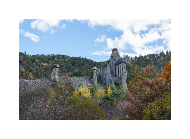
Still on our way back home, we pass by chance near the “Demoiselles coiffees”, some hoodoos on south shore of the Serre-Poncon lake.
1. A short hike takes us near these always impressive concretions.
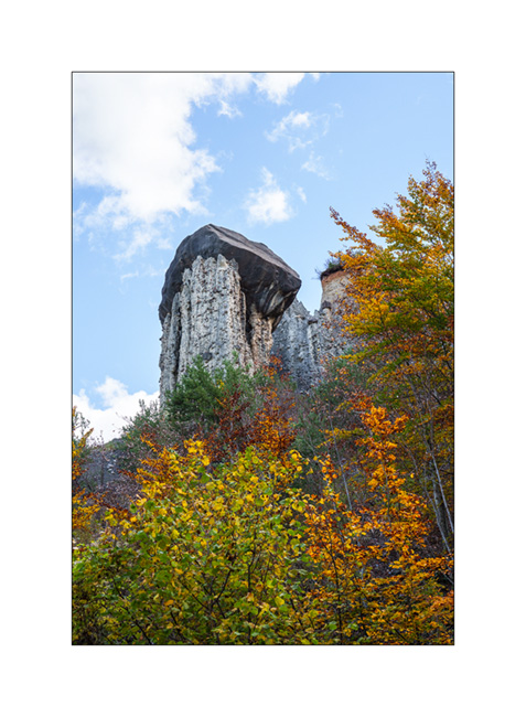
2. The site is evolving fast. Its configuration has changed a lot over the last 50 years.
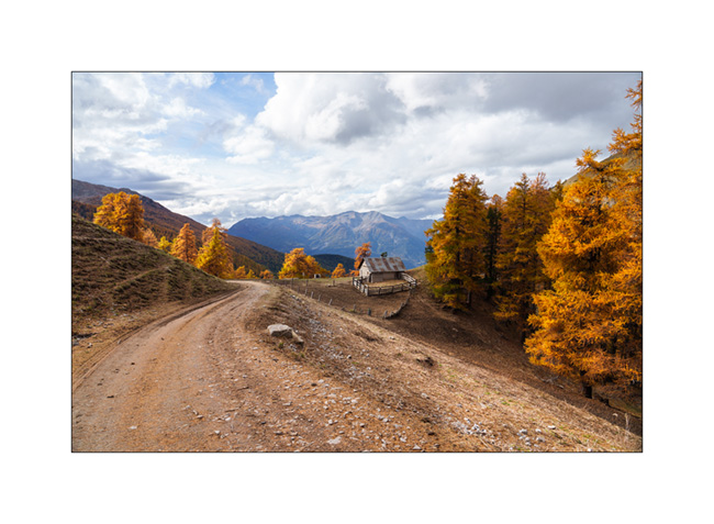
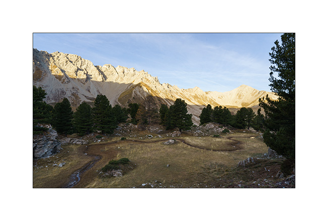
3. Site Overview.
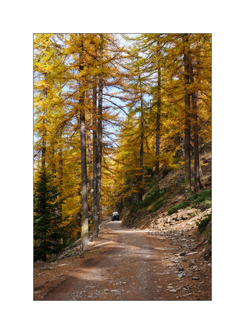
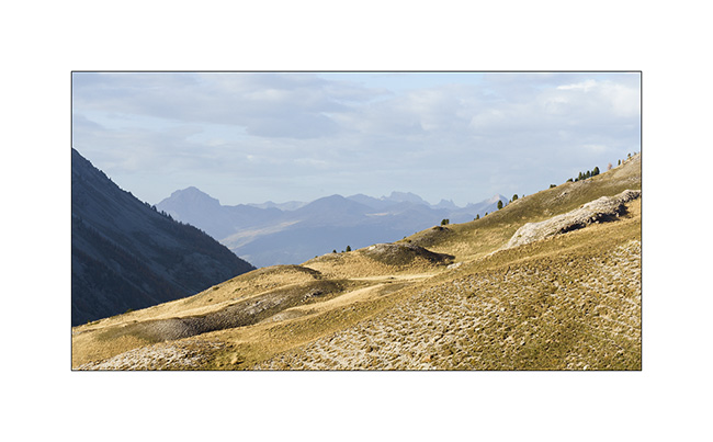
4. Always favoring the back roads, we take a trail passing through Coche and Valbelle passes to reach Guillestre.
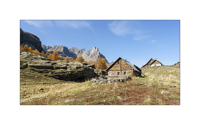
5. Summer stable.
6. VivaLaVida on the trail.

7. View towards the West, shortly before the Pass of Valbelle.
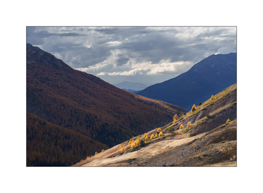
8. From the pass towards North.
9. Some showers are coming.

10. It’s gotten colder, the snow is not far away.

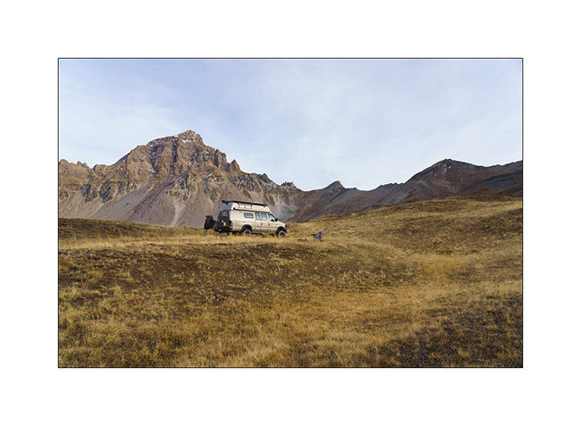
11. We find a boondocking spot above the Risoul 1850 station.
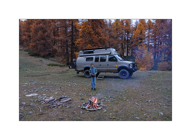
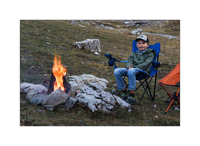
12. Last campfire of the trip.
13. Stop at an abandoned gas station in Maurienne.

And that’s it for our Fall holidays. Shortly after, summoned to the VivaLaVida expertise, I had to remove the licence plates while waiting for the manufacture of parts to increase the power of the parking brake because the efficiency of the current assembly was deemed insufficient by the expert. We were therefore unable to enjoy VLV this late autumn. She returned to her shelter for the winter.
As you read this, I received the ordered parts. I’ll be installing them in the coming weeks before getting the licence plates for the new season.
Thank you for your loyalty in following this little blog and see you soon for the rest of the journey aboard VivaLaVida! 😀
Haute-Ubaye
Coming down from Larche Pass (Colle della Maddalena), we go discover the Lautanier valley.
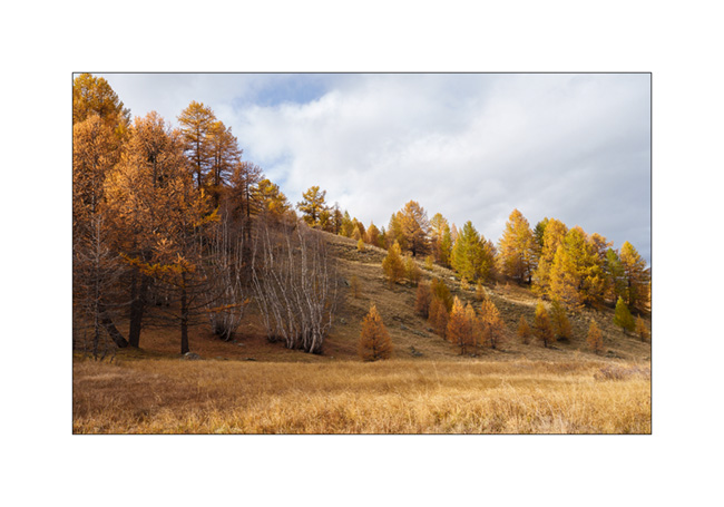
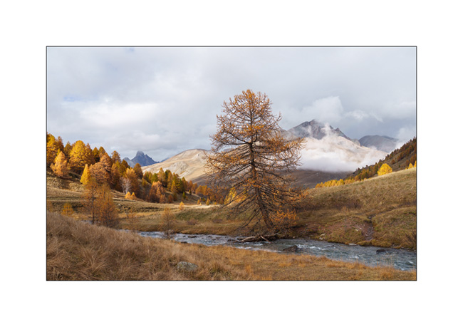
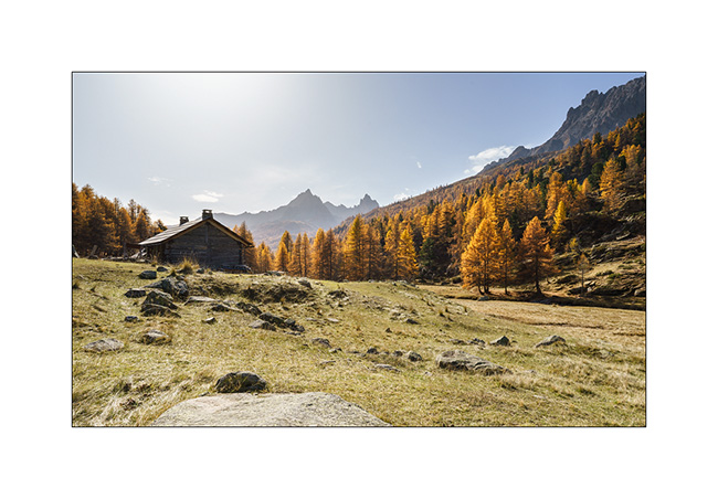
1. Fall colors are everywhere.
2. Hiking up the valley.
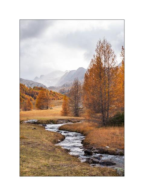
3. Meander.

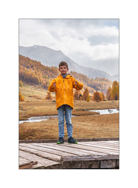
4. A hiker on the bridge. 😉
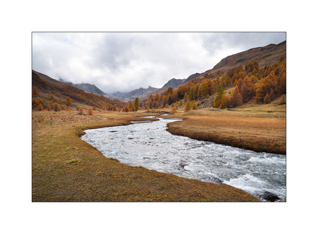
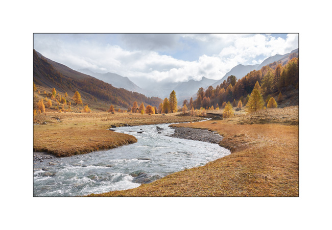
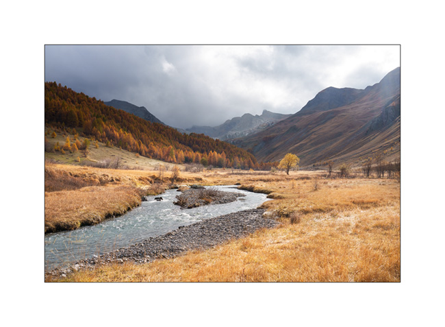
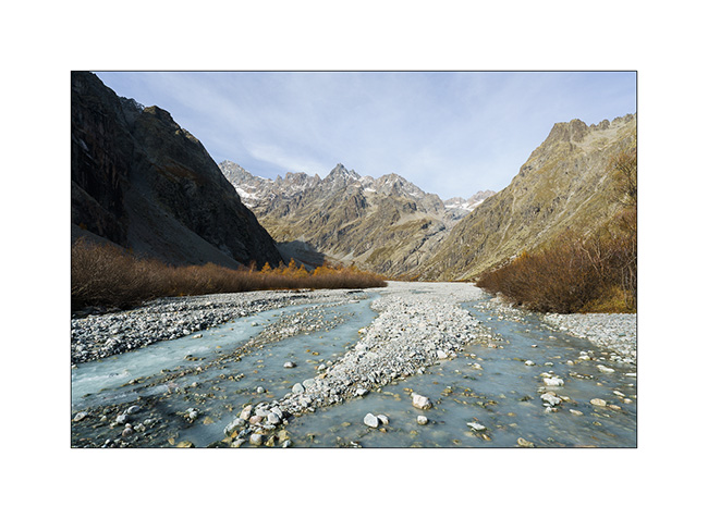
5. Ubayette River which dug the valley.
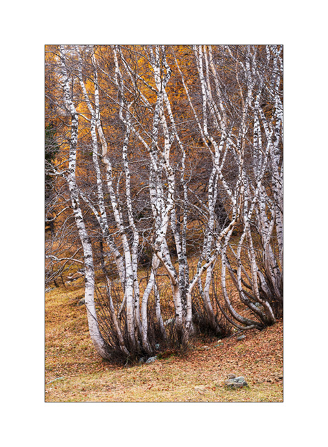
6. Larches and birches.
7. Further up in the valley.
8. Fall atmosphere.
9. Birch trunks.
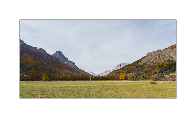
10. Ubaye Valley.
11. Our boondocking spot along the river Ubaye.
12. We made a campfire there between the raindrops.
Continuation of our way back shortly.
Last day before heading Home…
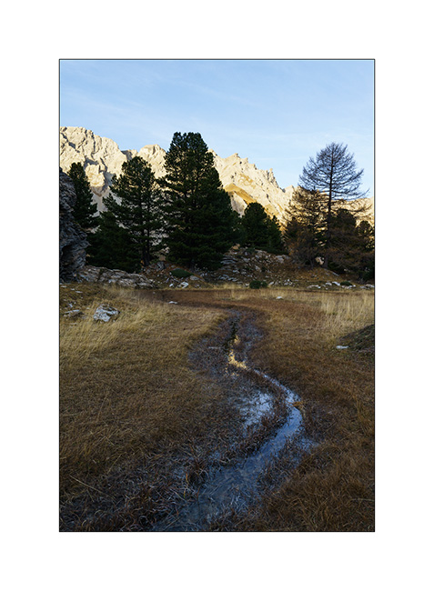
In the early morning, we go discover an altitude marsh spotted during our walk the day before..
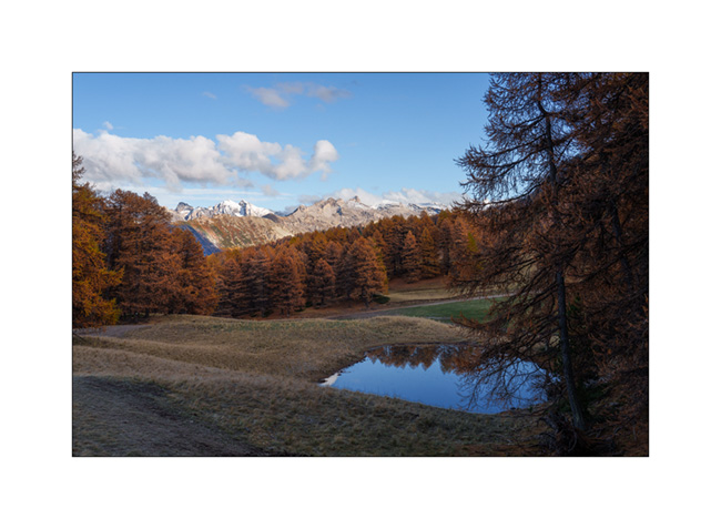
1. A source there creates a stream that meanders on a flat.
2. At its end, a small pond formed.
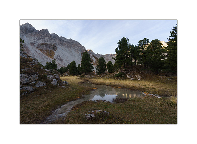
3. We don’t hang around too long because it’s chilly this morning.
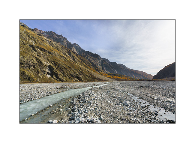
4. Change of place to discover the bottom of the valley of Vallouise Pelvoux, at a place called Le Pré de Madame Carle. We discover a sub-glacial zone where the floods of the river create a gravel bar like those visited in Alaska.
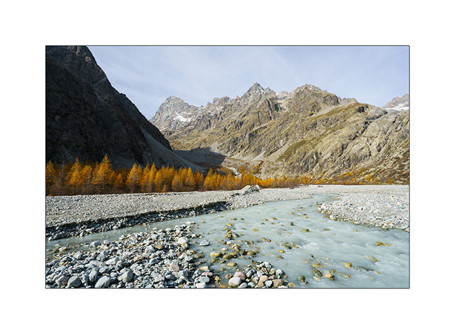
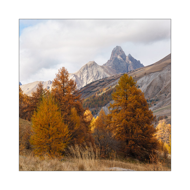
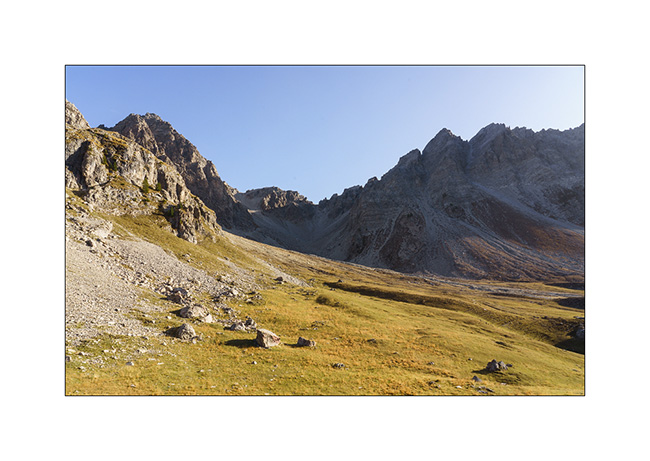
5. We are at the treeline altitude, which causes a certain alpine aridity at this place.
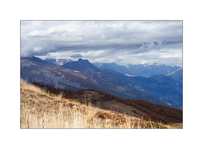
6. View from our lunch spot. They are worse, isn’t it?
7. On the way back, between Briançon and the Lautaret pass.
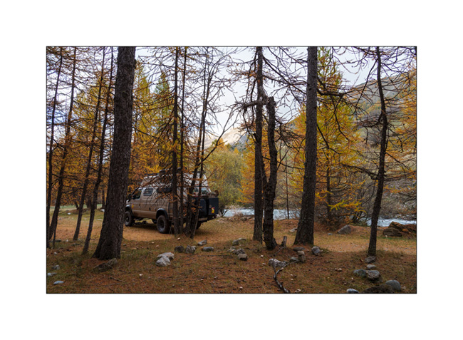
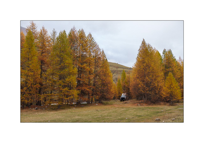
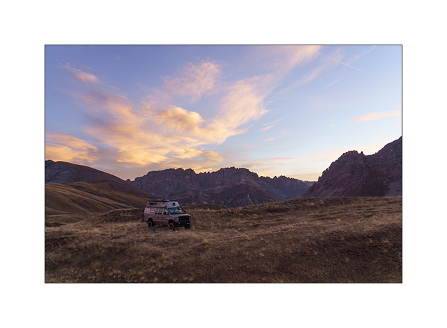
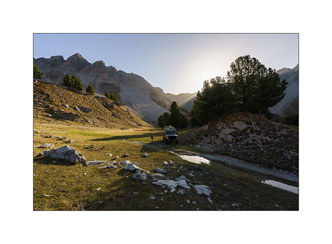
8. Thanks to the off-road capabilities of VivaLaVida, we find a nice promontory to boondock on the northern slope of the Galibier pass.

9. Out of sight of the road, our afternoon end is perfectly quiet there.
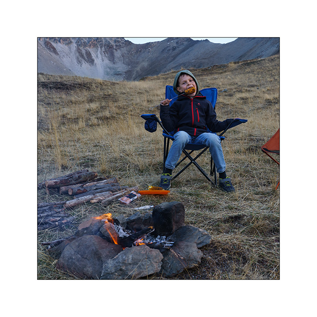
10. A last campfire for grilling some corns and meal.
11. And a last image of this short week of travel with pretty colors at sunrise Sunday morning…
Back at home, we plan one or two more weekend outings before VivaLaVida returns to its wintering place. I’ll tell you about those in a while.
Thank you for your loyalty to follow this little blog! 😀
Back to Clarée Valley
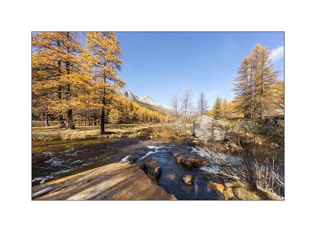
Still unable to walk much because of my sprained ankle, we decide to go back up to the beautiful Clarée Valley that we had discovered last year in the same season and discover the Fontcouverte waterfall, taking advantage of the golden larches to take some pictures.
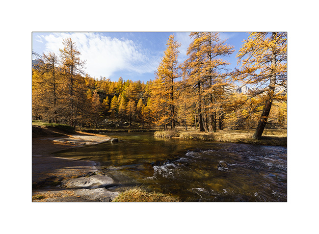
1. The Clarée River upstream from the waterfall.
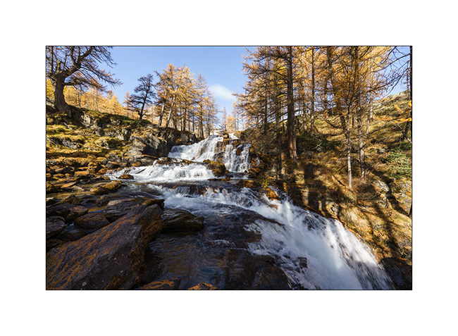
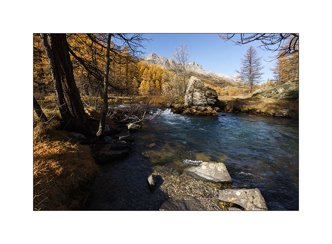
2. Fontcouverte waterfall.
3. I’m playing to look for some compositions.
4. Variation.
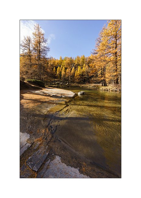
5. In the morning, we’re almost alone at this season while in summer, it is constantly crowded.
6. A little further up the valley.
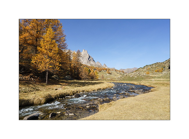
7. We have our lunch under a mountain pasture.
8. Last view of this beautiful valley before changing corners… Since last year, signs prohibiting wild camping have grown everywhere and the only campsite there is closed for the season.
9. After a few tens of miles, we are at the very top of the Vallon de l’Orceyrette, above the Chalets de L’Alp. We are completely alone there for a quiet bivouac at about 7,900 feet elevation.
10. We discover the surroundings of the camp. This bottom of the valley is still wild.
11. View looking north.
12. We enjoy a nice campfire to cook our meal there.
Continuation and end of this few days trip shortly! 😉