barrack
now browsing by tag
Argentera Valley & Pass of Tende
As previously mentioned, we’re delaying our descent to Tende as the weather isn’t favorable. Emile wanted to return, so we head up to the Argentera Valley. Access is now subject to a toll, with a toll booth on the bridge at the entrance to the valley.
We are a little disappointed to discover that major protection works have been undertaken, no doubt following recent heavy storms. Several areas of earthworks aimed at channeling lateral streams disfigure the lower part of the valley and greatly reduce its charm. Fortunately, higher up, nothing has yet been undertaken.
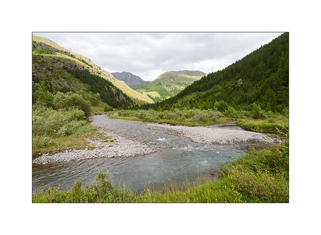
1. We find a nice spot down by the river.
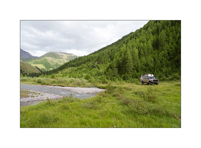
2. View from our camp.
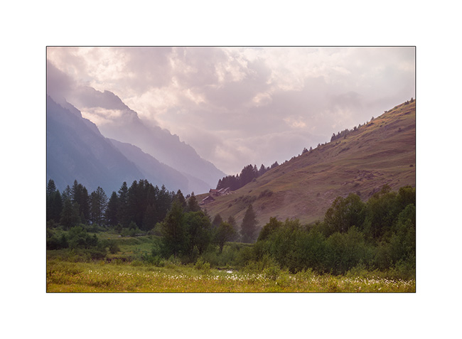
3. End of day tones.
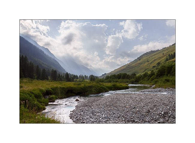
4. The next morning, we take a walk upstream to discover a beautiful torrent.
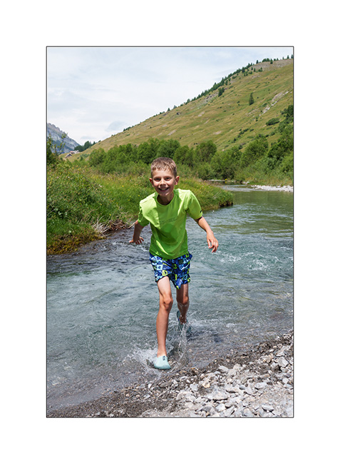
5. Back at our camp, Emile takes the opportunity to cool off in the river.
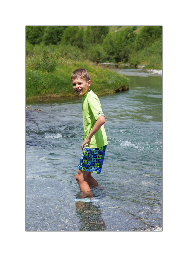
6. Brrrr… it’s cold!
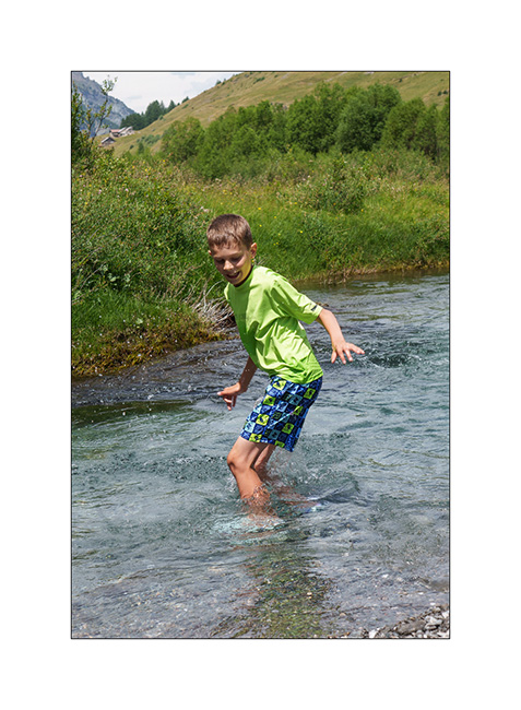
7. …
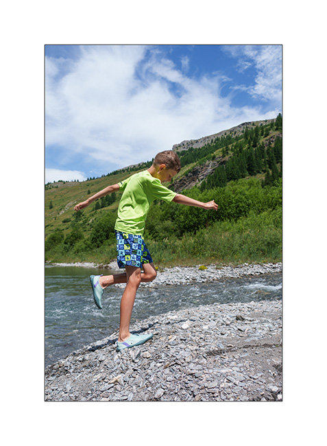
8. But it feels good!
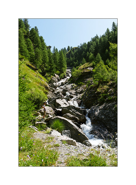
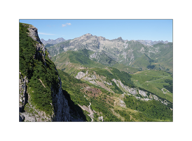
9. The upper part of the valley remains quite wild.
With the weather improving in the South, we head down to Tende where we hope to discover the Alta Via del Sale (High Salt Road), an approximately 55 miles long trail that follows the ridgeline border between Italy and France. We did the Western section in 2017 but not the Eastern loop.
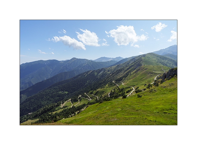
10. The hairpins of the Col de Tende on the French side (South). This trail is closed to traffic for several years.
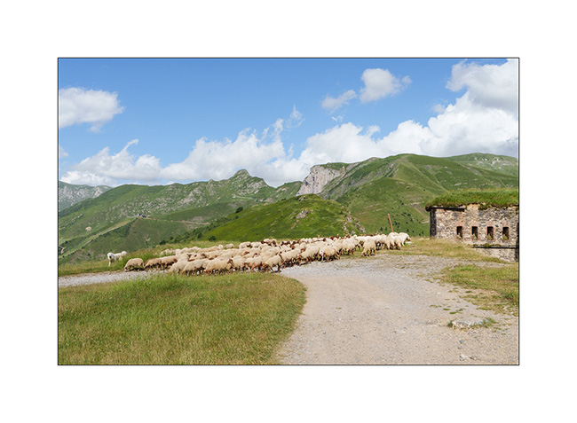
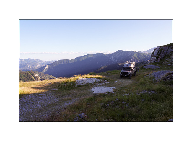
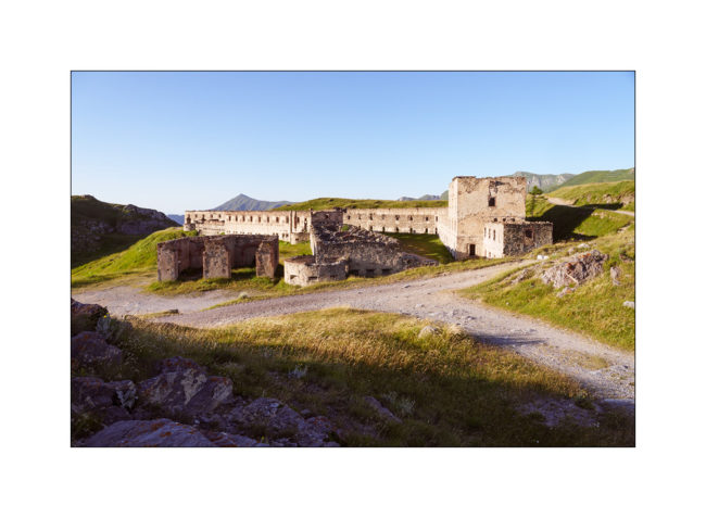
11. Meet upon arrival at Fortress Central.
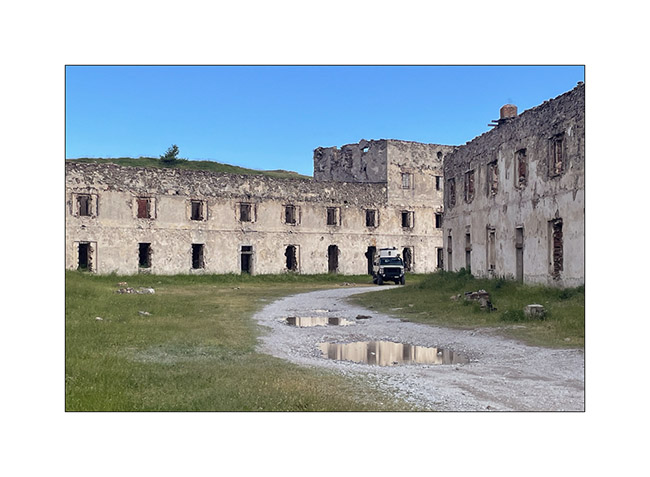
12. First night in the barracks, alone that evening.
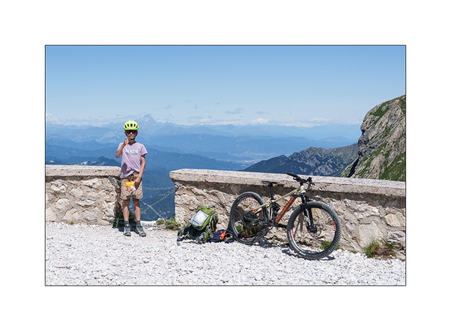
13. Since it’s Tuesday and the regulated section of the Ruta del Sale is reserved for pedestrians and bicycles on Tuesdays and Thursdays, we set off to discover the beginning by bike. Here, on the climb to Campanino Pass, with Fortress Central in the background.
14. Emile is comfortable on his new mountain bike, even on climbs.
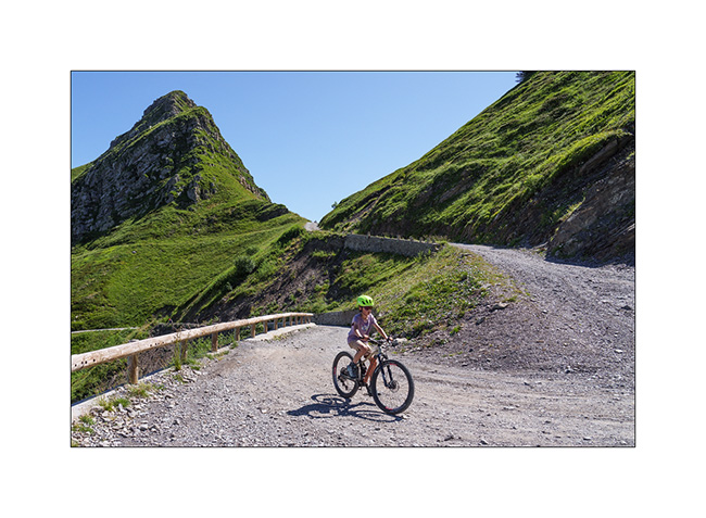
15. In the end, we rided 12 miles and 13,600 feet of elevation gain. Well done to him!
16. Second night in one of the old quarries used to build the barracks, for sheltering as a strong north wind is blowing.
17. Barracks at sunset.
To be followed in a few days…