
lake
now browsing by tag
Second and successful attempt in Chartreuse, then Belledone massif.
As I explained in the article “Chartreuse and Taillefer,” we were caught in a storm while trying to reach the Pierced Tower, which forced us to turn back. After Emile joined his mother for the rest of the holidays, I decided to return to Chartreuse mountains to try and reach this difficult-to-access double arch.
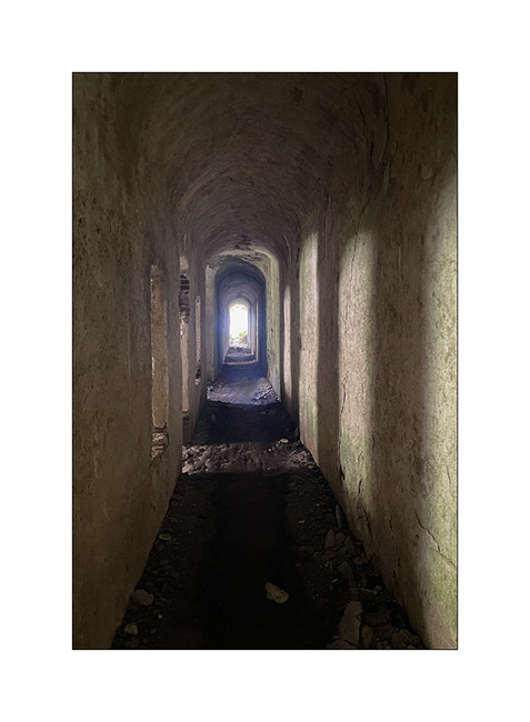
1. A little over two hours after leaving VivaLaVida, first by mountain bike then on foot, after steep and exposed single trails, loose scree and a few climbing steps, I finally discover this double arch that had been catching my eye for a long time.
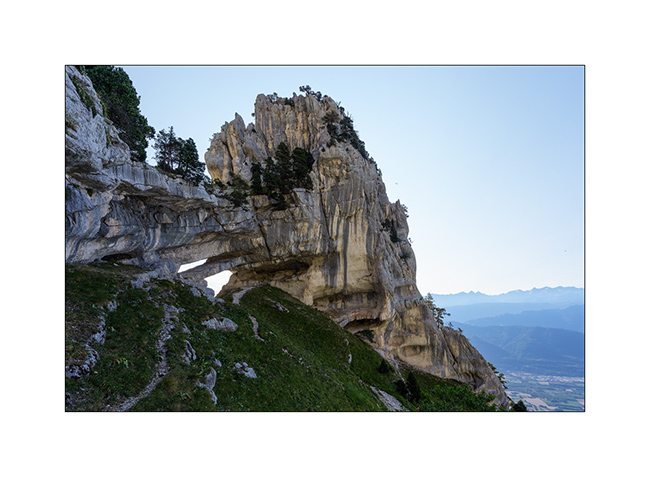
2. I cross it and move along the small ledge that connects it to another pillar pierced with two holes called “the eyes of the mountain”. From there, the view is magical and I need to take a panorama of several images to show it.
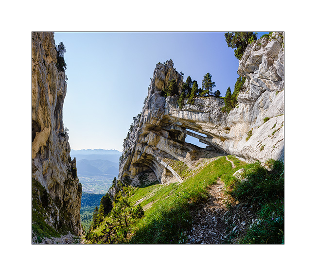
3. Under the arch. To give you a sense of scale, I’m standing upright in the lower arch, and even with my arms raised, I can’t touch the stone ledge that separates the two arches. In the upper arch, I’m just sitting, my head tilted so as not to touch the rock above. Officially, its span is 95 feet, making it one of the largest natural arches in the Alps.
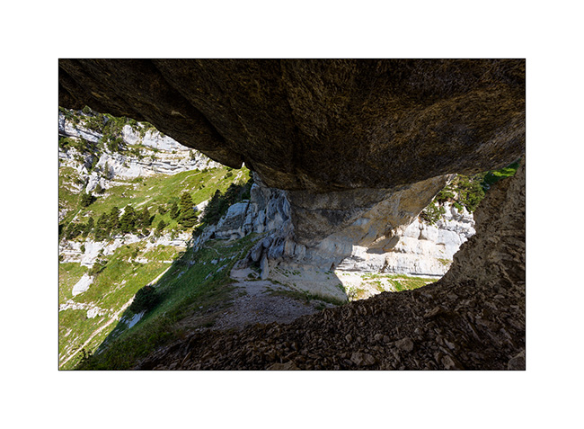
4. Access is via the steep corridor that separates the arch from the cliff opposite.
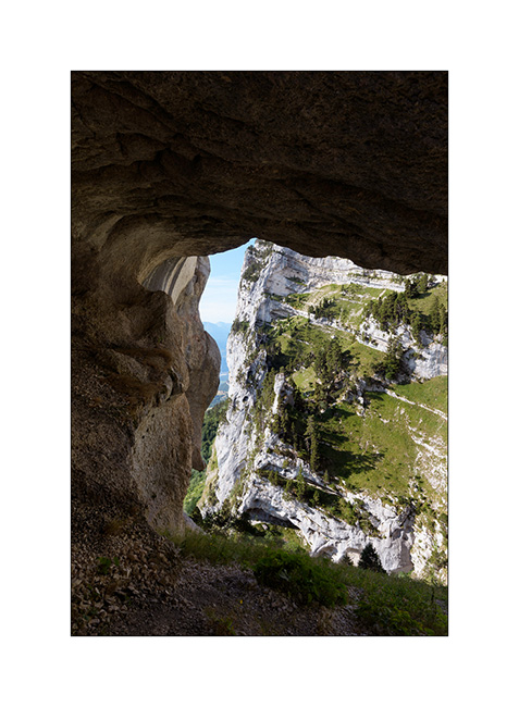
5. Since the route is too exposed to attempt to descend, I continue uphill to reach the top of the cliffs. Here is the Pierced Tower from above the arch.
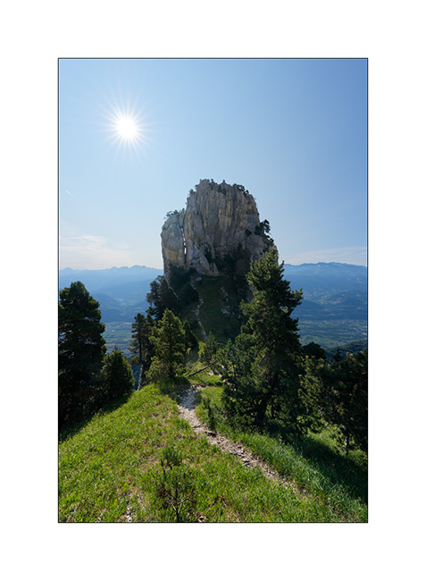
6. Here you can see the path that runs along a ledge, this layer in the limestone. It’s not difficult but rather exposed, with drops of up to 600 feet below in places. A misstep is not an option!
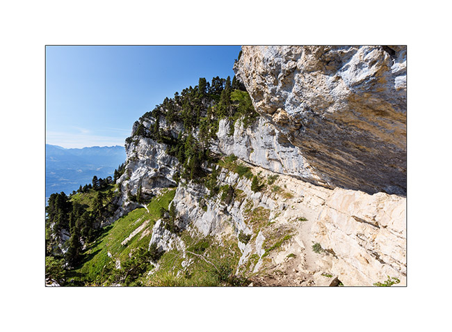
7. At regular intervals, the route changes of ledge, sometimes requiring a few climbing sections. The view of the Pierced Tower changes.
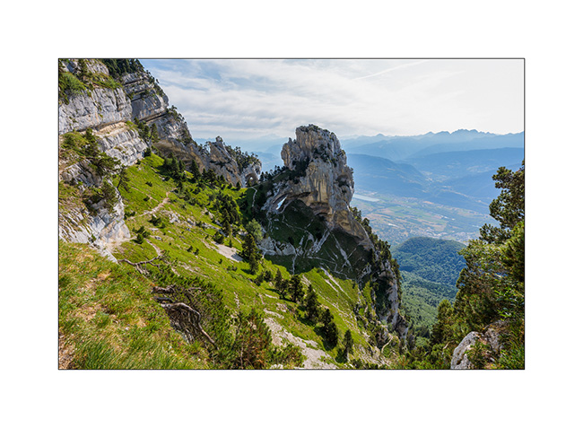
8. After an hour and a half, here I am at the summit, on the path we hiked with Emile three weeks ago. A last look at the arch which is barely visible from here.
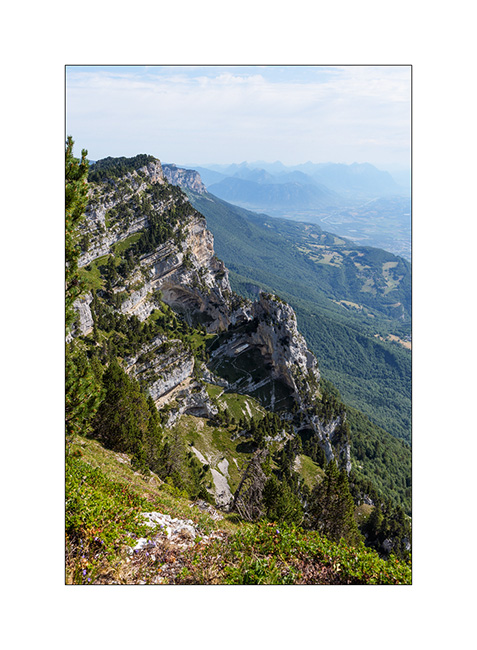
9. The cliffs of the Chartreuse mountains during my descent by mountain bike. The Pierced Tower, on the left third of the edge, doesn’t reveal its arch from below. That’s why it wasn’t discovered until the 1970s.
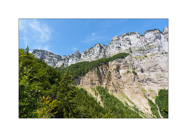
Back in VivaLaVida around 2pm, I decide to head to the Belledone massif to discover Robert lakes above Chamrousse.
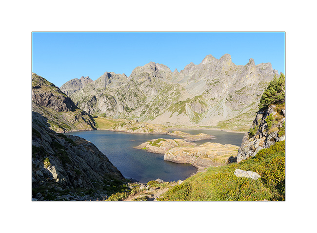
10. Arrival at the three Robert lakes in the late afternoon.
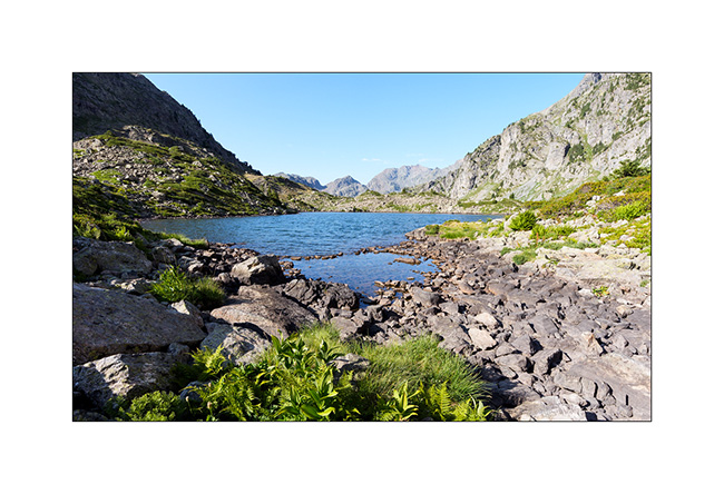
11. Sky is missing some clouds for better pictures… 😉
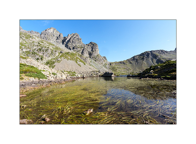
12. Backlighting.
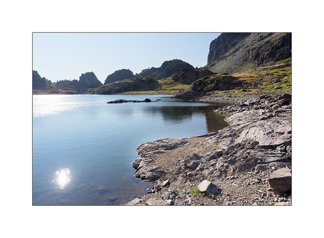
13. Quietness in low light.
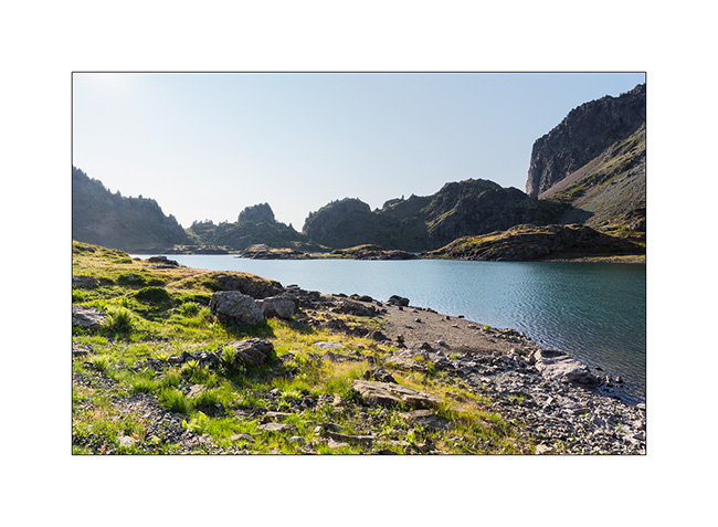
14. One last look before the descent that awaits me to rejoin VivaLaVida.
In the next update, I will tell you about the discovery of another arch in the Chartreuse mountains. 🙂
Tarentaise…
October 2025, we attempted to cross the Breach of Rosaël – a pass that connects Tarentaise and Maurienne valleys at over 9,000 feet via resorts of Val Thorens and Orelle – but the first snows blocked our path. This summer, on our return journey, we try again to cross this pass but this time from its southern side, starting from Orelle resort.
1. The last few hundred meters are still blocked by snow patches. I have to get out the shovel to secure some sections.
We’re definitely the first to attempt this route this year.
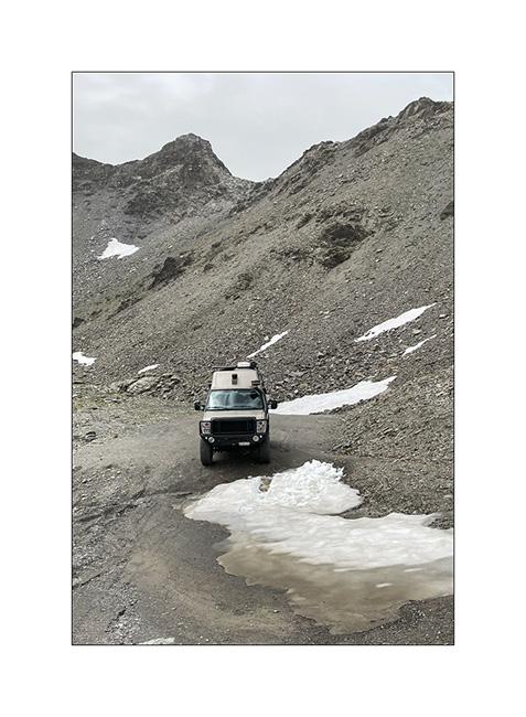
2. After a long climb interspersed with a few stops to cool down VivaLaVida, here we are on the other side of the breach with a strange light, kind of thick mist, perhaps because of the wildfires ravaging South of France.
3. We sleep on the descent to Val Thorens and after filling the fridge the next day, we opt to discover the trail that goes up to Pointe de la Masse.
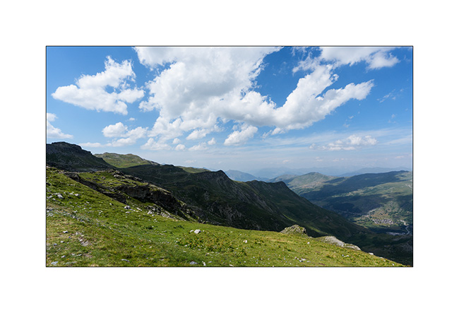
4. Great photo spot for a portrait of VivaLaVida! 😀
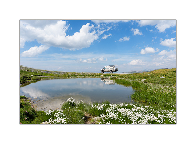
5. Small lake at an altitude of over 7,500 feet.
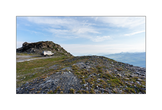
6. We find our campsite for the last night on the ridge, not far from the summit.
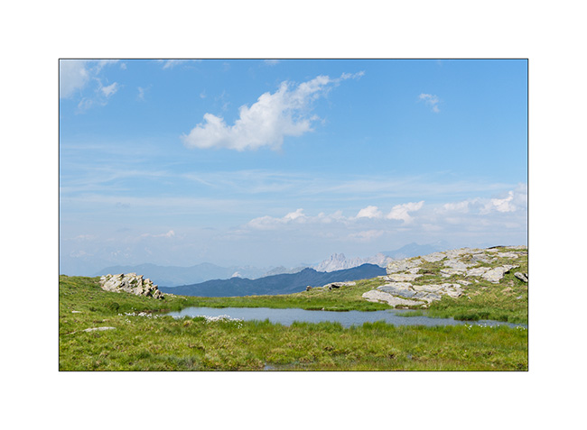
7. Needles above Méribel.
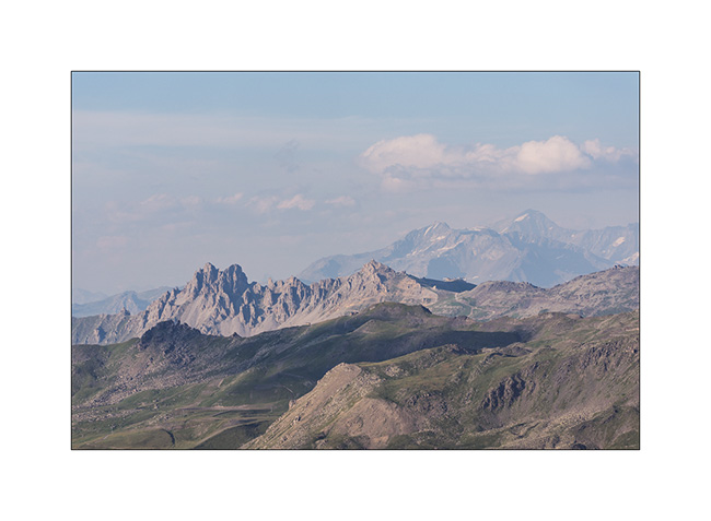
8. Sunset on the Ecrins massif where we were a few days ago.
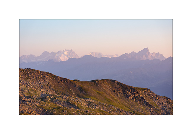
9. The sun sets behind the mountains…
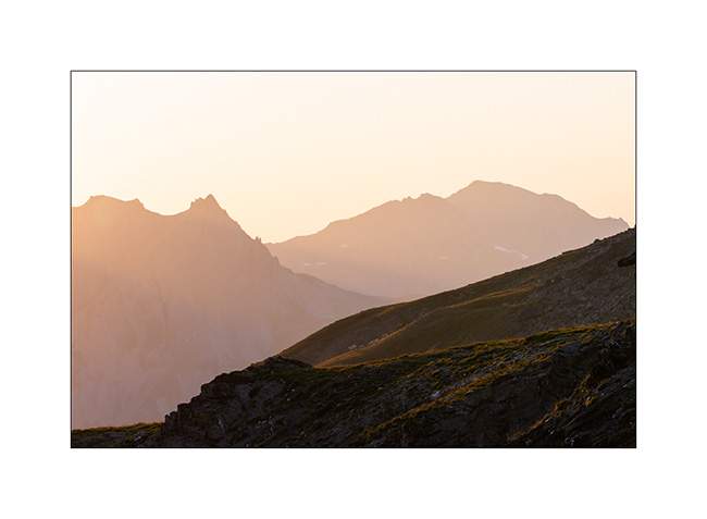
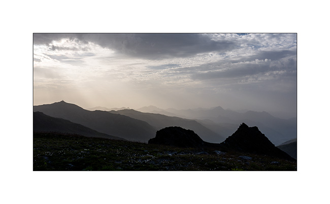
10. Silhouettes at dusk.
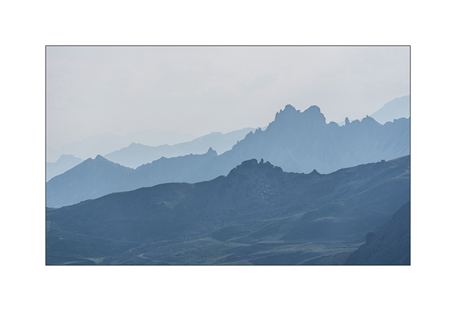
After two weeks of overlanding, Emile joined his mother to attend a family wedding. As for me, I went back to the Chartreuse mountains to try to reach the arch we’d been aiming about twenty days ago but had to turn back because of thunderstorm.
I’ll tell you about it very soon! 🙂
Galibier (II)
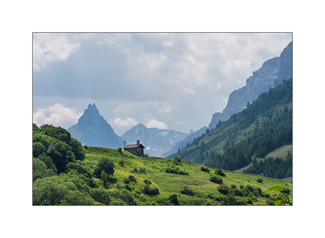
1. We wanted to explore some of the surrounding trails but the Valloire town hall has issued municipal decrees prohibiting access to them throughout the summer, with only a few exceptions. Thus, I could only access to one spot I had previously identified, with a small chapel and the Aiguille Noire in the background.
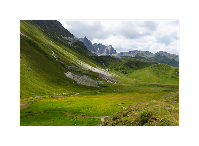
2. After a night near Valmenier where the trails are also closed, Emile wants to return to our previous campsite from which we will set off on a hike the next day.
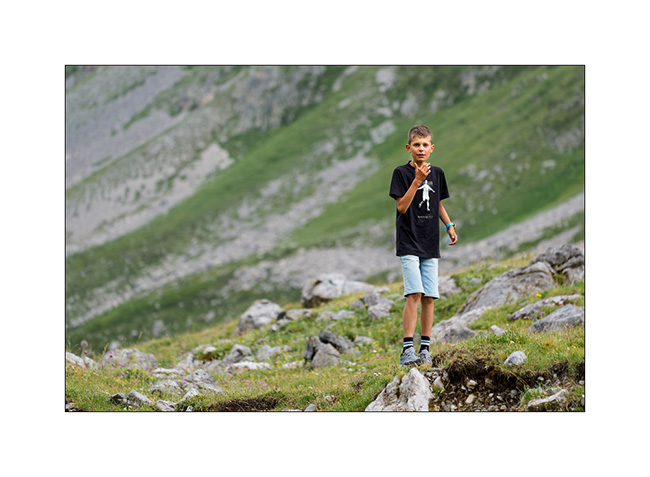
3. Dreamer in nature…
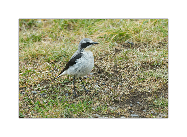
4. We enjoy the late afternoon to observe the local inhabitants. Here, a northern wheatear.
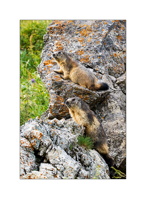
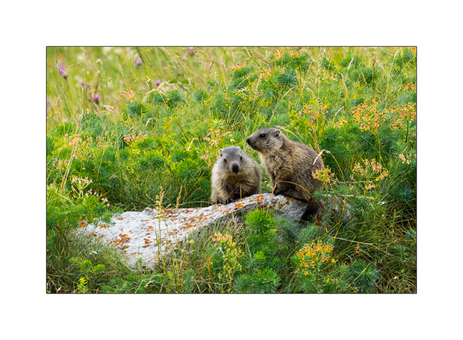
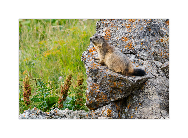
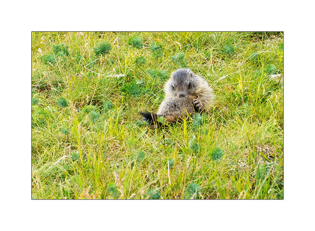
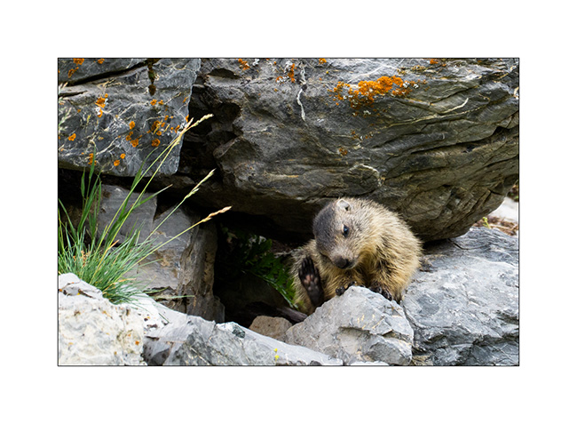
5. Including a family of marmots that aren’t too shy.
6. Youngs.
7. Watcher.
8. Taking care of himself.
9. Curious.
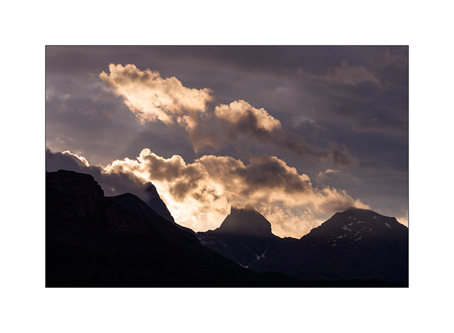
10. Sunset from our camp.
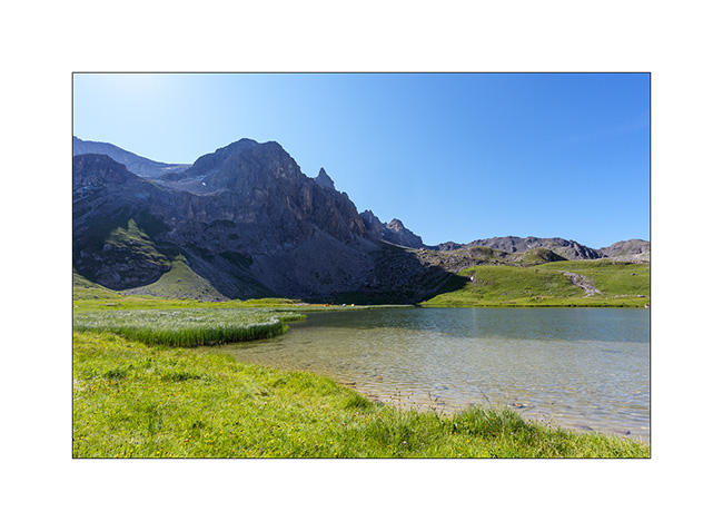
11. The next day, set off on another hike which first take us to Lake of Cerces where some hikers spent the night in tents.
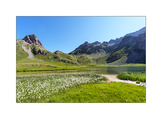
12. Cottongrass.
13. A look back at the path so far. VivaLaVida is tiny down there.
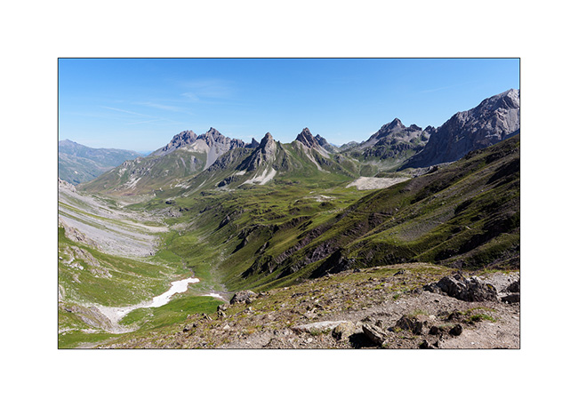
14. The White Lake, on the climb to the Grand Galibier.
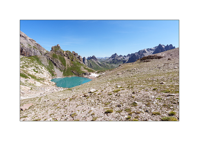
15. Panoramic view to the south…
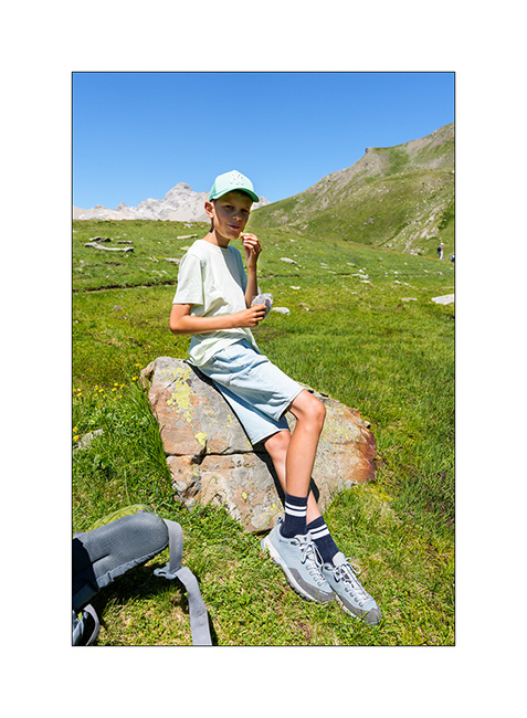
16. It’s time to regain strength!
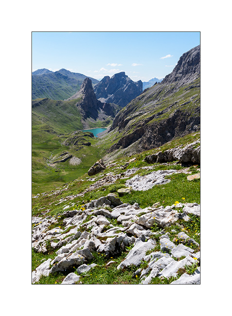
17. Pretty little lake of La Ponsonnière, behind the pass of the same name.
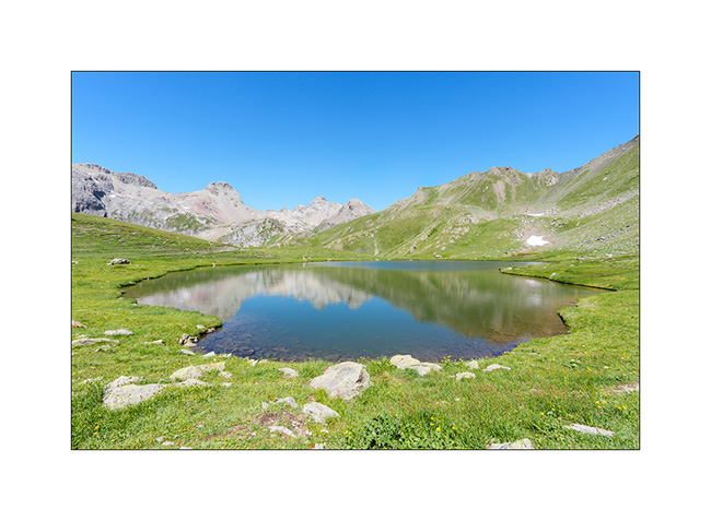
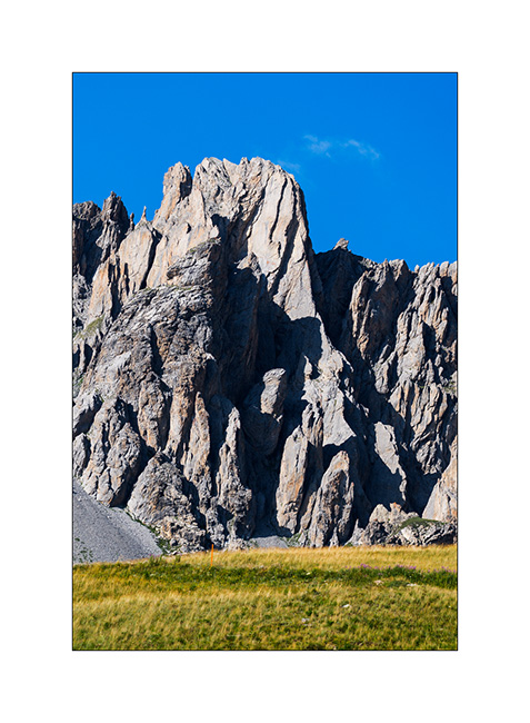
18. Back at our campsite, a shadow in the needles reminds me of a drawing of Don Quixote with his sombrero on his horse. Do you see it? 😉
That’s it for today; more to come soon.
Lautaret, Galibier and heights of Claree
After going back up to the Granon Pass the following morning, we set off on a hike to discover the Cristol lakes.
1. We discover the lake after passing through the Door of Cristol, a small pass 2 miles away from Granon.
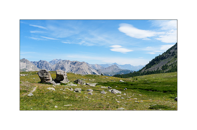
2. View on the Aiguille Rouge, the Pass of Thures and Italy.
3. Emile the hiker. 😉
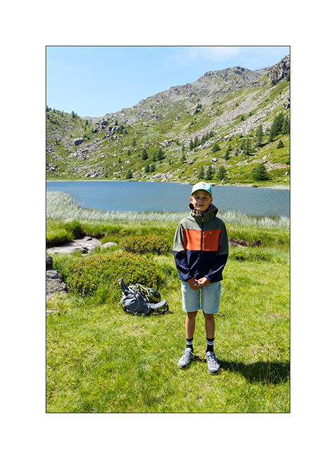
4. The place is really beautiful.
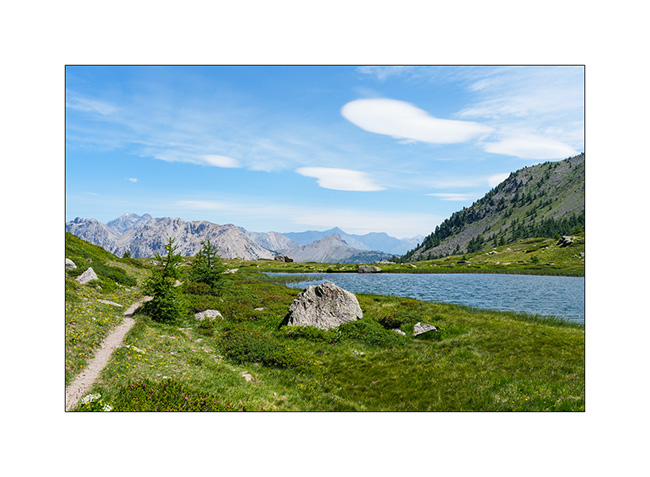
5. We then head back towards the Door of Cristol to discover the second lake called Round Lake of Cristol.
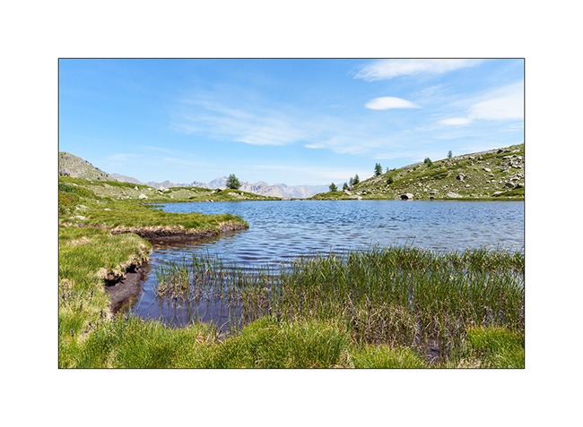
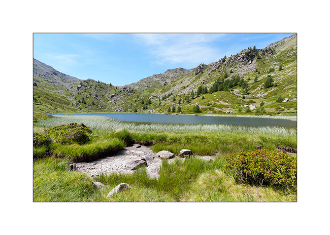
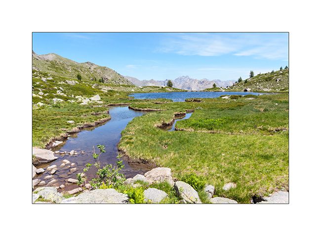
6. Upstream, there is a beautiful peat bog.
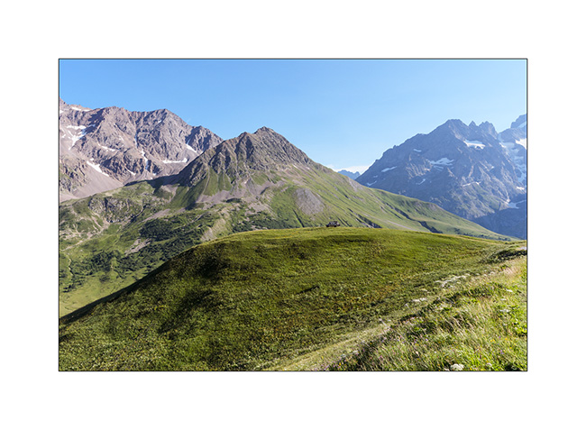
7. We do some groceries shopping in Serre-Chevalier and then head back up towards the Galibier. We find a boondocking spot at the top of a hill where only 4x4s can access. Can you spot VivaLaVida ?
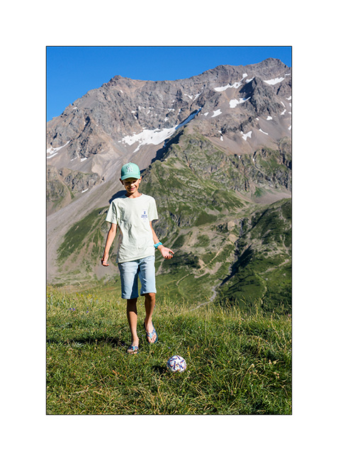
8. Emile is practicing his dribbling there, it’s Soccer World Cup season! 😉
The next day, after passing the Col du Galibier, we go up on mountain bikes to discover the lakes near the Pass of Rochilles.
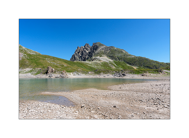
9. Grand Ban lake.
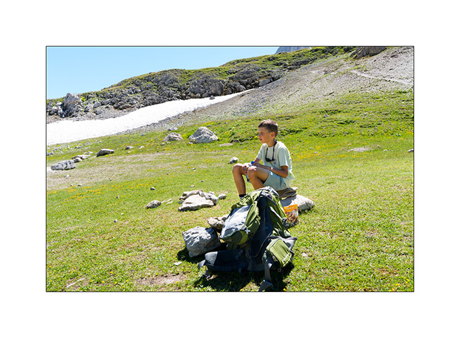
10. Recovery…
11. Round Lake and Pass of Rochilles.
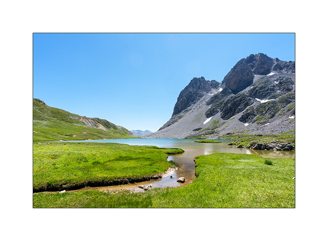
12. Beyond the pass, this small lake marks the source of the Claree river..
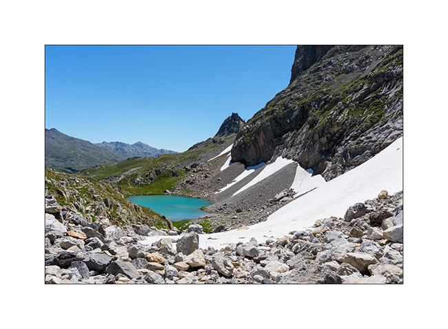
13. The alpine pasture at the bottom of the military road on the Galibier side.
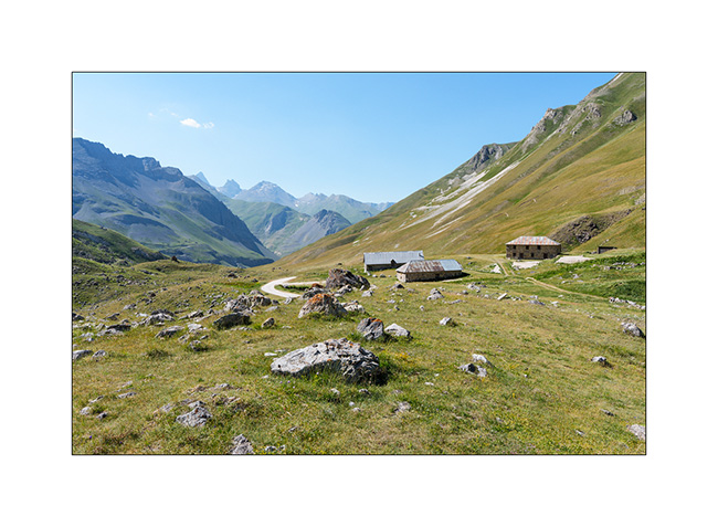
14. Our camp just above.
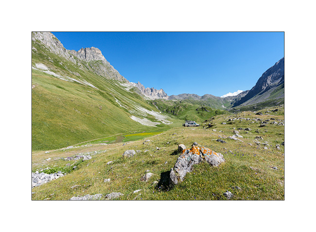
15. …near a beautiful stream.
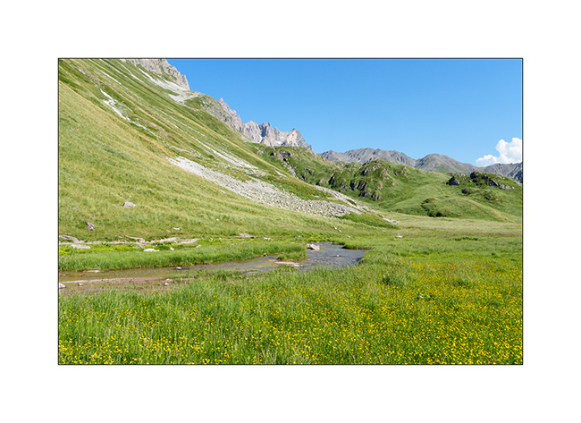
16. We enjoy to cool off.
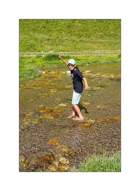
17. Late afternoon light.
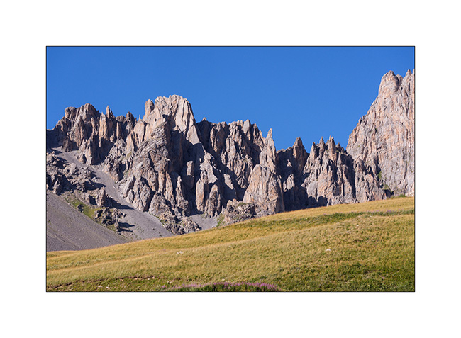
18. View toward northwest.
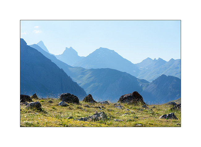
More to come in the next article soon.
Chartreuse and Taillefer
This little blog is getting a bit of a boost with the summer holidays, as VLV is back in action. It won’t be very long, as Emile has a wedding in his mother’s family in mid-July. So, we’re going away only for about two weeks and given this limited time, we’ve decided to explore a few spots not too far away.
We start in the Chartreuse massif to try to locate the Roche Percee (Pierced Tower), a double arch rarely located on maps.
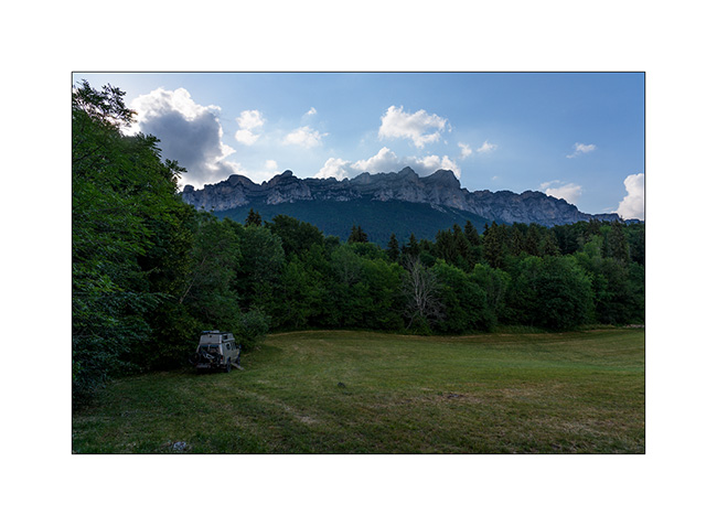
1. Our campsite for the first night, beneath the walls of the Chartreuse massif.
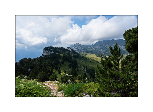
2. The next day, at the top of the cliffs after passing the Aup du Seuil.
3. I realize I’ve gone astray and we head back down the quite steep path we took earlier.
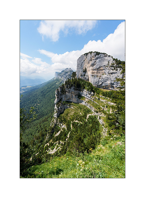
As an aside, we continue towards Roche Percee along a faint path beneath the cliffs and just as we approached the final climb, a thunderstorm caught us by surprise. Coming from behind the cliffs, I hadn’t seen it forming. It take us nearly an hour and a half to get back to the bikes we’d used that morning for the first part of the climb and reach VivaLaVida, soaked to the bone. We return to our campsite from the previous night to dry off and eat after nearly 14 miles and 3,000 m of elevation gain, having missed out on the coveted arch… We’ll be back!
The next day, we travel above Vizille towards Grand-Serre with the intention of exploring the Plateau des Mille Lacs (Thousand lakes Plateau) and in particular Lac Noir and Lac Fourchu. Arriving in the mid-afternoon, we stop at Lac du Poursollet and then go looking for a spot to camp for the night.
4. The following morning, we hike up to the plateau. At the pass, we catch sight of Lac Fourchu..
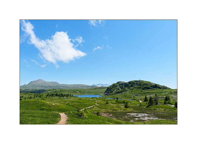
5. A little further on, the Lac Noir is visited by a flock of sheep, with the Aiguilles d’Arve in the background.
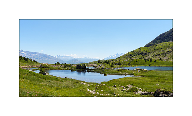
6. Back to Lac Fourchu.
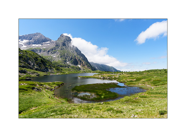
7. Alternative view from our picnic spot…
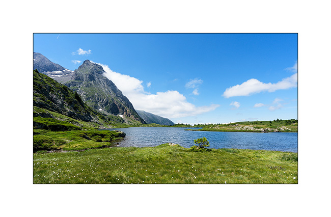
8. Another perspective…
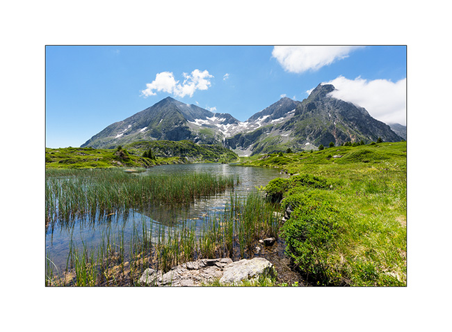
9. Last look before heading back down.
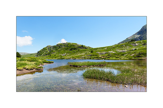
10. While I plan to discover another arch, we sleep on the heights of the small resort of Grand-Serre.
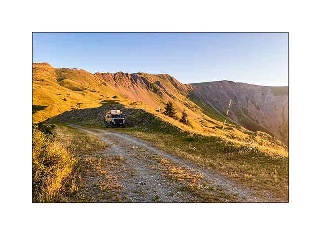
More to come in a few days… 🙂
Valais : Anniviers Valley
While Emile continues his vacation with his mom, I go enjoying the summer in the Swiss Alps by doing a few days of mountain biking in Valais.
1. Arriving at the end of the day in the valley, I walk up the valley towards the Petit Mountet refuge.
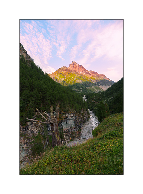
2. The Navizence River at sunset, downstream from the Zinal glacier.
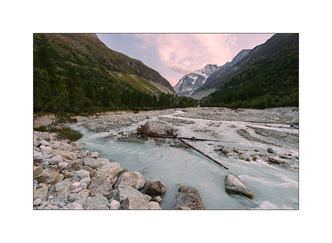
3. The next day, long 44 miles loop with a 5.5 hour ride. Views of central Valais from the heights of Chandolin..
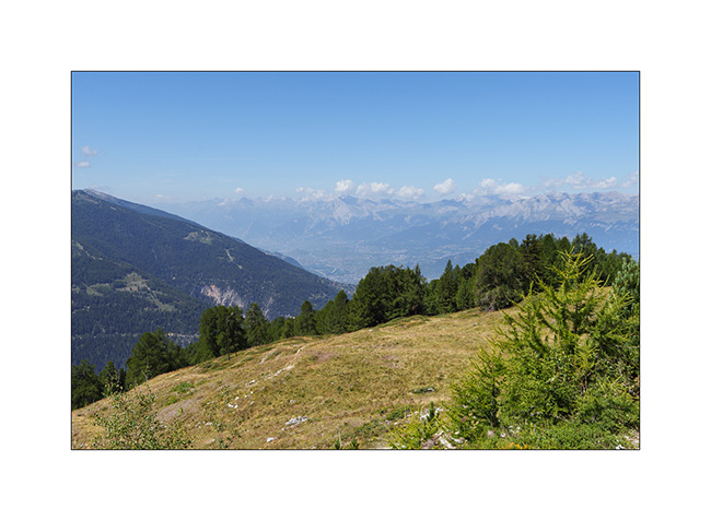
4. The upper Anniviers Valley from the heights of St-Luc.
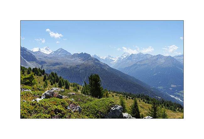
5. Mountain lake above Plan Torgnon.
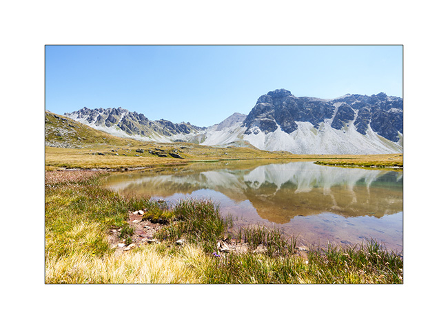
6. …
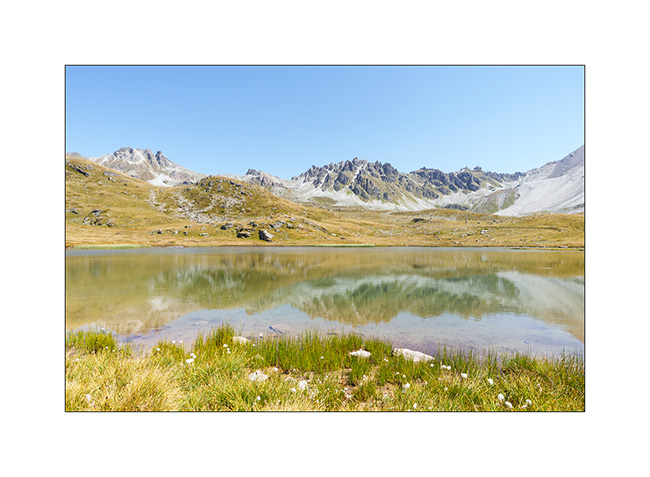
7. I make a detour to discover the famous Hotel Weisshorn.
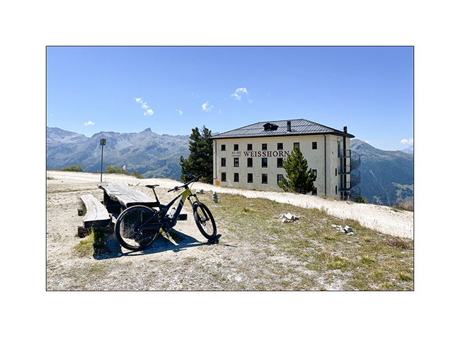
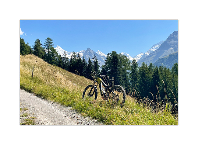
8. Going up towards Zinal, above Ayer.
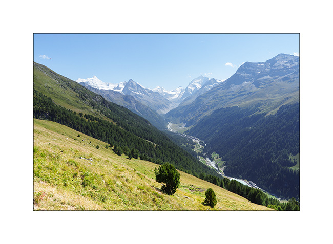
9. View of Zinal and the final downhill.
10. I go sleeping above the Moiry lake.
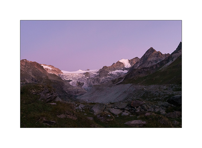
11. Châteaupré Lake in early morning.
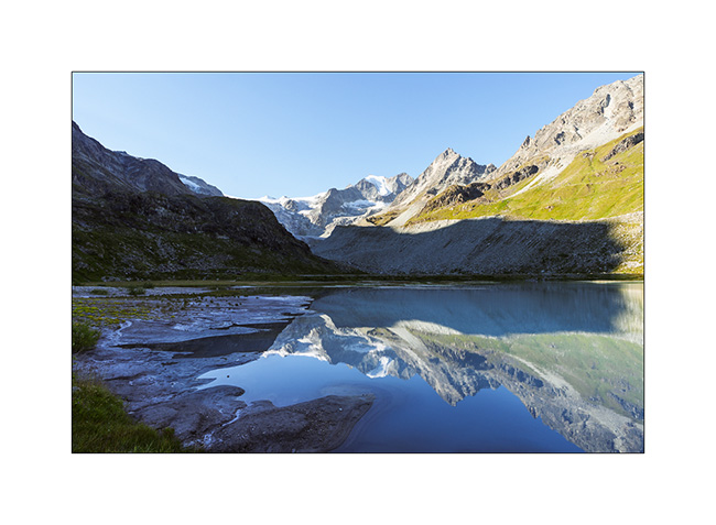
12. Second mountain bike outing to Lake Autanne.
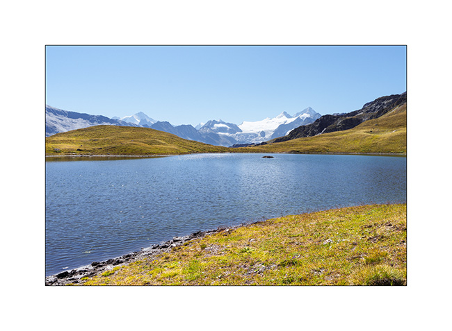
13. Alpine summer view…
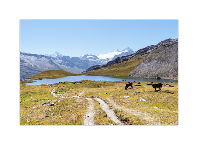
14. Launa lake.
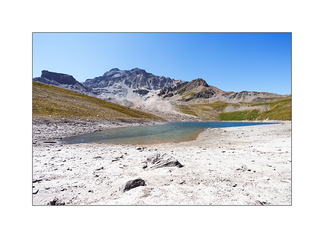
15. Pass of Launa, a mecca of the Grand Raid VTT event.
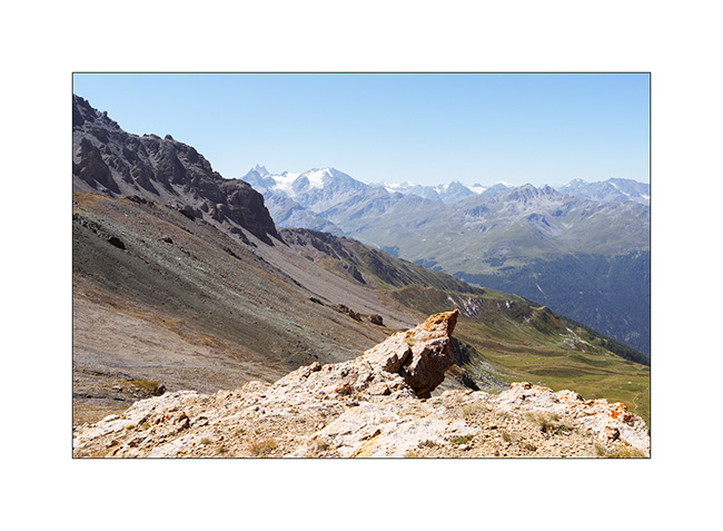
16. From the Pass of Launa looking East.

That’s it for my first two days of mountain biking. More to come soon!
Monviso – Bardonecchia area
1. Here we are again on the Alta Via del Sale but on its western part.
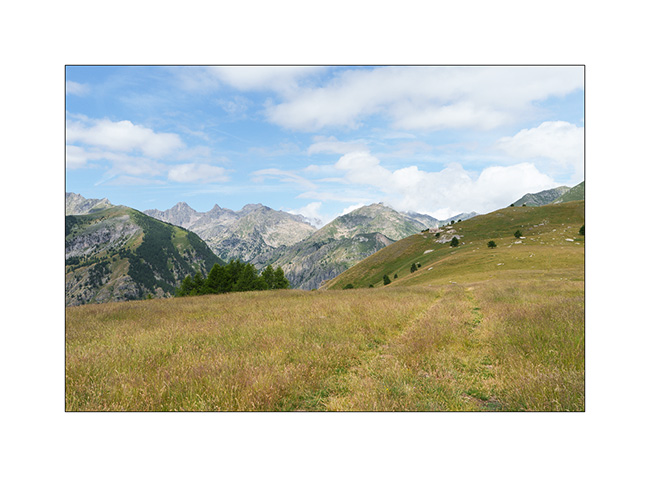
2. …
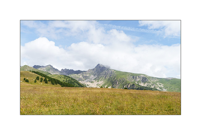
3. The Marguerie fortress where we spend the next night.
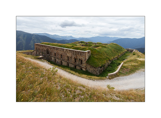
4. I go exploring part of it but don’t stay long because it’s really falling into ruin..
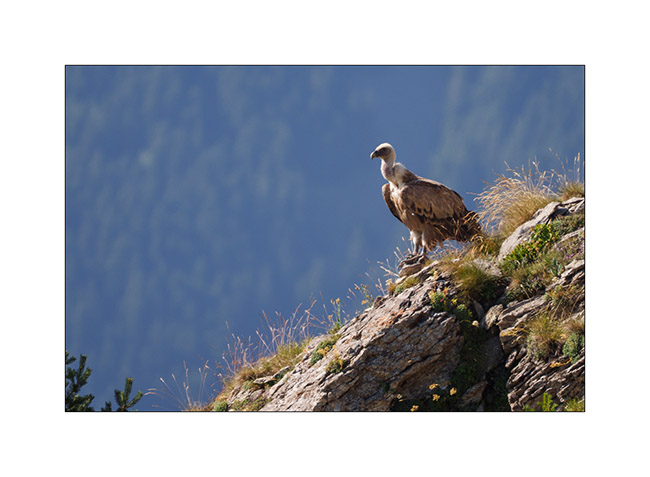
5. An early morning visitor to our camp.
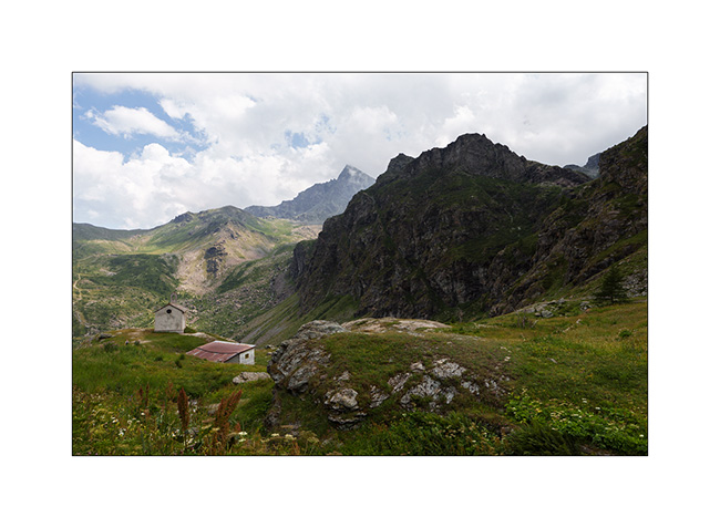
6. As we begin our journey toward North, we go discover Monviso, the main Italian peak in the Southern Alps. A view from Pian de Rey. The afternoon convection partially hides the summit.
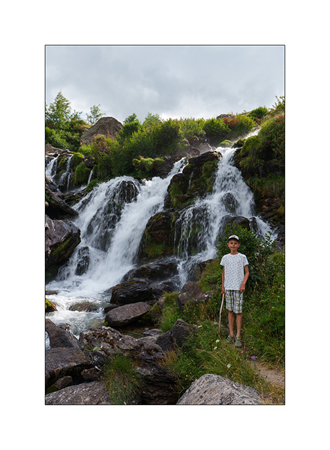
7. Further down, a small waterfall not far from our camp.
8. View on the valley.
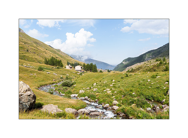
9. Then we head back up towards Bardonecchia to explore the Passo de la Mulatiera region. A narrow trail takes us to an altitude of 6,000 feet. Then we continue on foot to the pass.
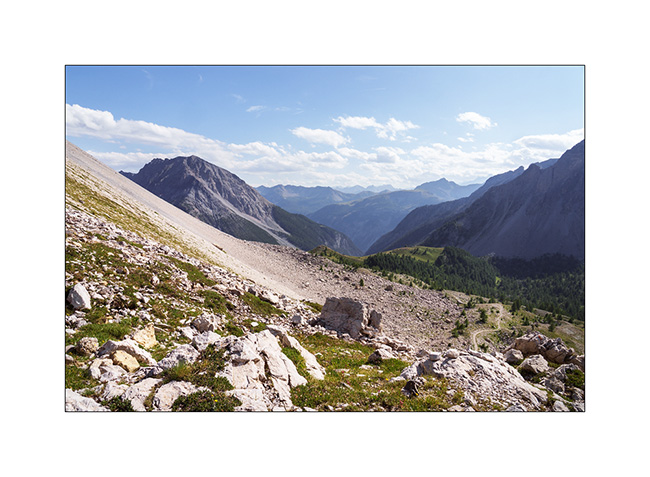
10. The large scree slope that lies beneath the Mulatiera fortress ruins. We look at a fearless marmot less than 15 feet away.
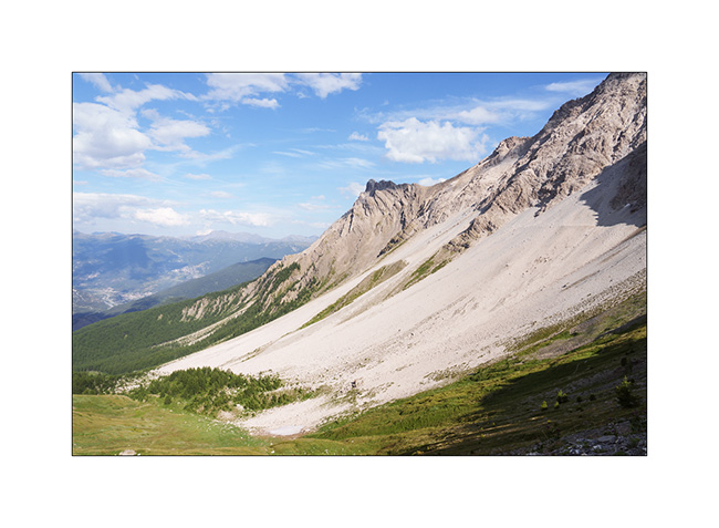
11. The next day, we park at the Col de l’Echelle and set off on a hike towards the Col des Thures. After a quite steep climb, we discover the Vallon des Thures and the small mountain pasture of the same name.
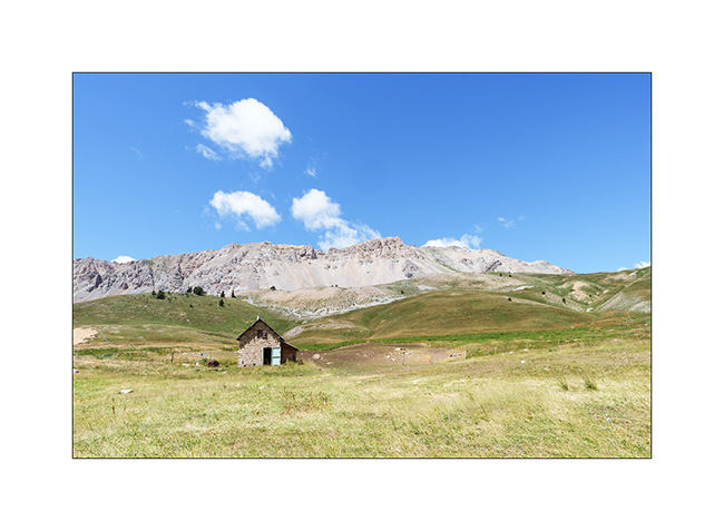
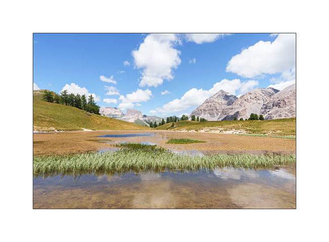
12. Arrival at the superb Chavillon lake with Mount Thabor in the background.
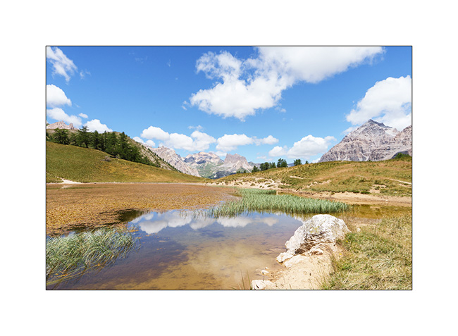
13. I vary the compositions.
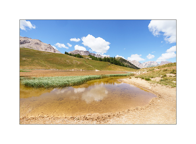
14. …
15. Return path through the screes.
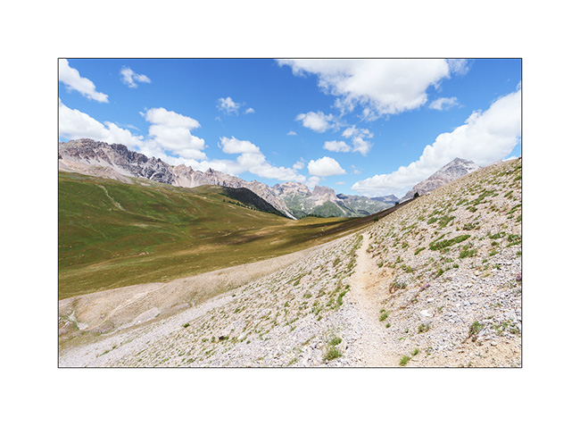
16. Last look at the valley.
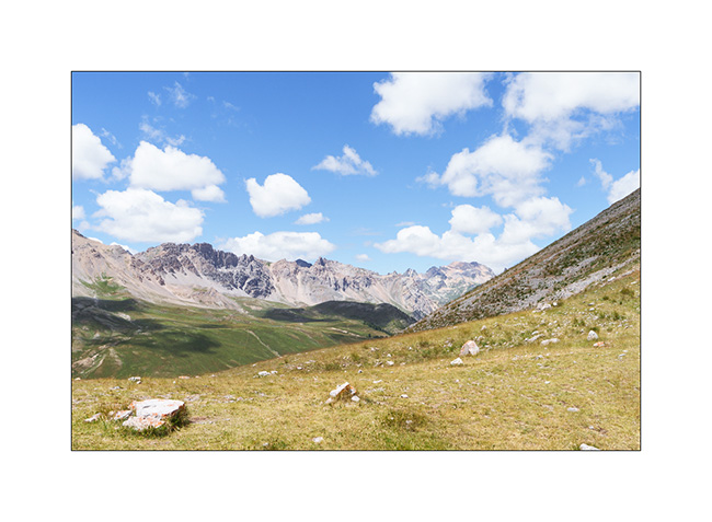
17. Above the Col de l’Echelle.
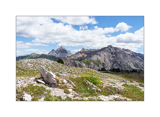
18. Our camp under Mount Jafferau, a spot where we already spent the night three years ago.
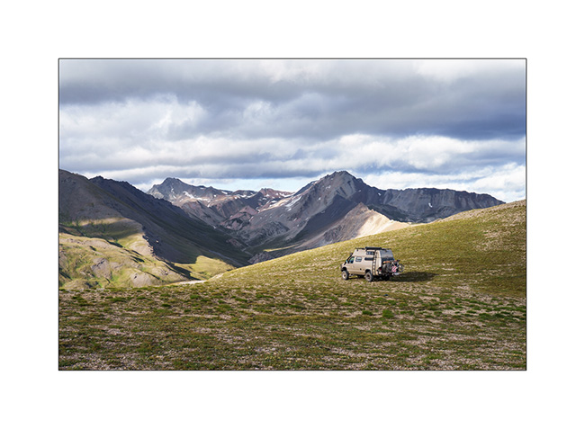
The rest of our journey will take us through Mont Cenis, Isère, and the Savoie region. We’ll show you that soon! 😉
Turini and Miniere Valley
1. Just a few miles above our camp, we discover the old Turini barracks.
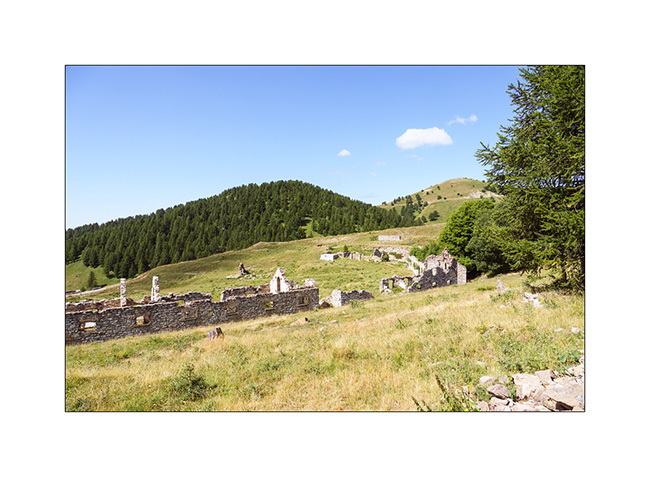
2. Views of the Mercantour Park are magnificent.
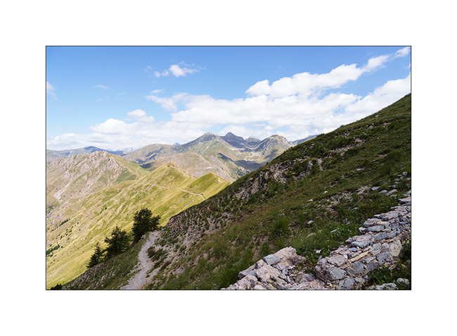
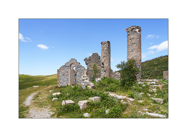
3. Another ruin, the Trois Communes barracks.
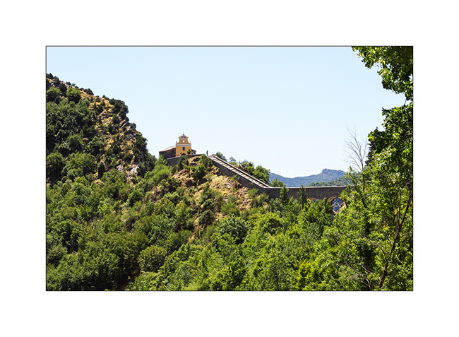
4. Going down to Sospel, the Chapel of Notre Dame de la Menour.
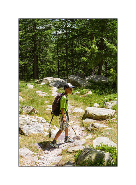
5. The next day, we take a long hike to discover the Valley of la Minière and its lakes.
6. After more than 5 miles, we approach the first lake, the Lac Long Supérieur.
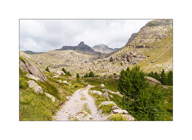
7. It is the largest since the construction of a small dam at its end.
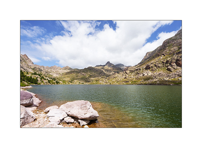
8. After discovering Lake Fourca, above the Merveilles refuge, here is Lake Soargine, at the start of our descent.
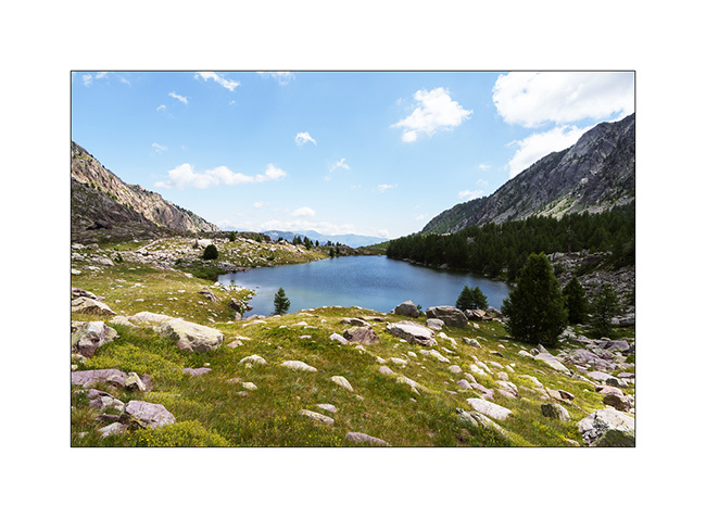
9. From another angle.
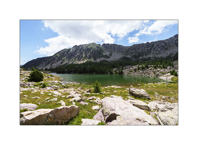
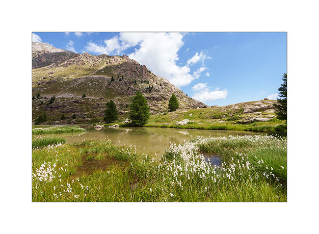
10. The marshes below the lake are gorgeous.
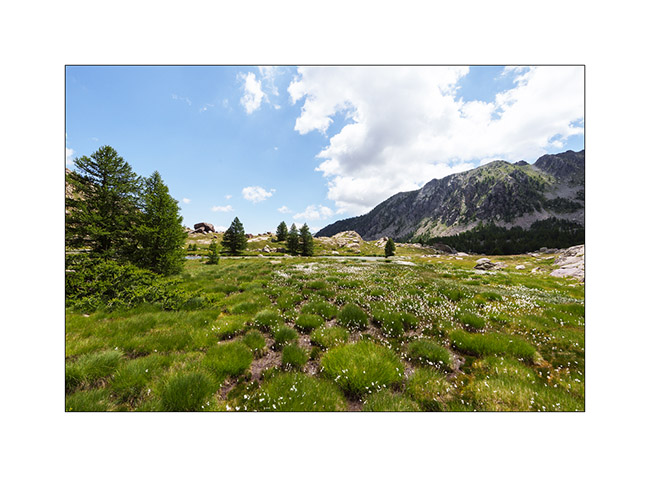
11. …
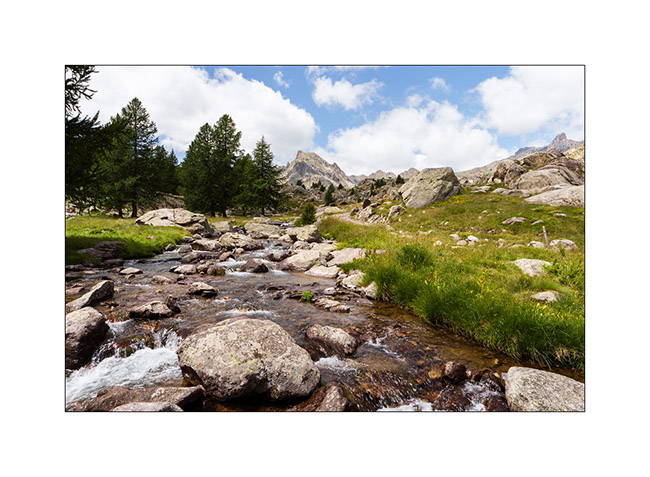
12. The river Miniere, carving the valley.
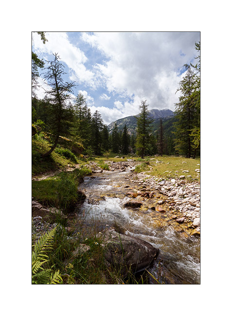
13. Almost back tout VivaLaVida after more than 15 miles of hiking.
14. Tired, we enjoy VLV’s shower and head straight to a boondocking spot I spotted in 2017, at the start of the western part of the Alta Via del Sale.
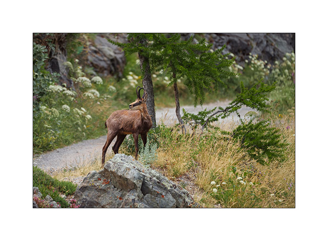
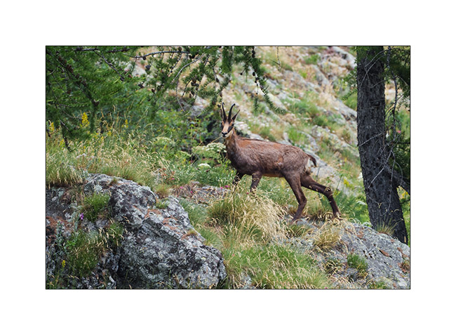
15. Nice surprise while preparing the aperitif: a local resident comes to eat nearby..
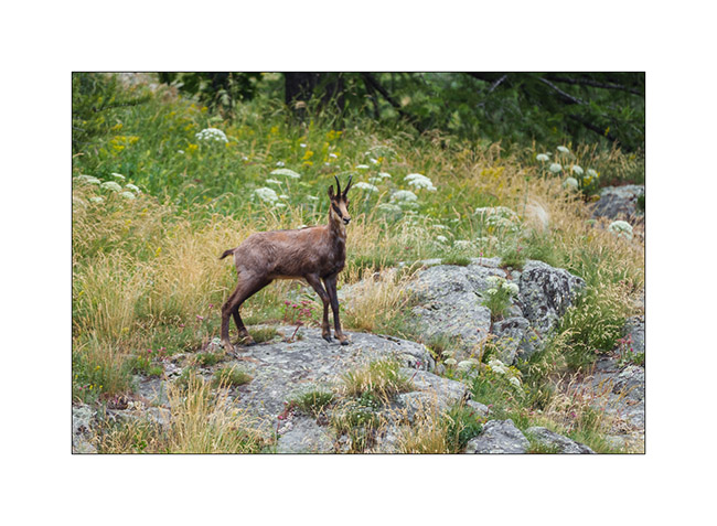
16. We watched him for a good 15 minutes when he was only about thirty feet away until a car coming onto the track made him go up the slope.
17. …
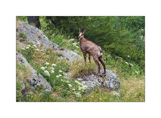
18. … before disappearing into the bushes.
More coming soon… Thanks again for your loyalty to this little blog! 😀
Lake Meja
The next morning, we set off on a hike to explore Lake Meja despite the poor weather..
1. Our camp going up towards the small pass which overlooks us.

2. We see a few ibex near the pass.
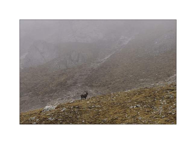
3. Mountains appear and disappear in the clouds.
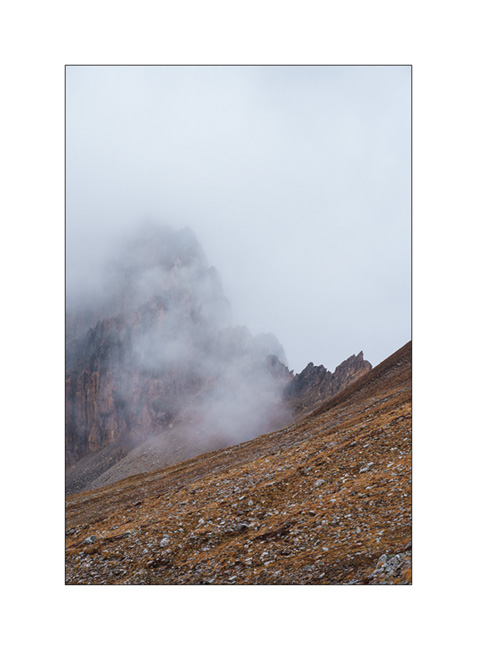
4. Some marshes along the path.
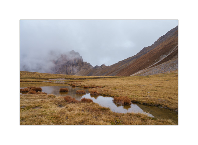
5. Lake Meja.

6. Small mushrooms on a dung.

7. The rain starts again as we go back to VivaLaVida.
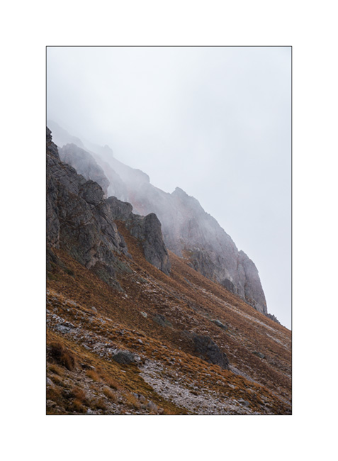
8. It’s already time to head back. A short stop on the way up the Maddalena Pass.
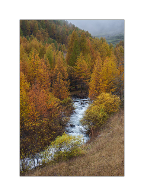
In the next update, we will discover a beautiful valley in Haute Ubaye.
Maira Stura
As announced, we continued South hoping to be able to access the Maira Stura trail which was closed during our last visit in summer.
1. Chapel of San Salvatore, driving up the Val Maira.
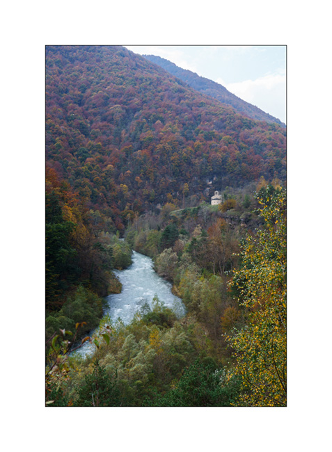
2. Village of Macra, in the same valley.

3. Indeed, the gate located after Pian Preit is open at this time of year. We can take the small road towards the Meja Pass.

4. Cloudy weather as the road climbs steep.
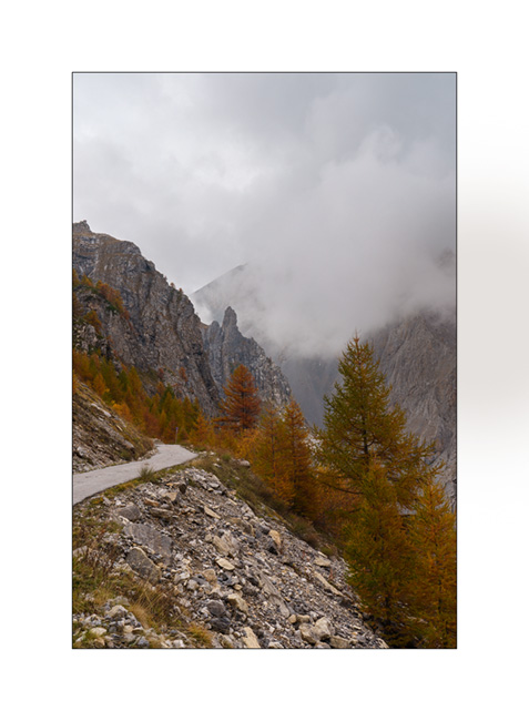
5. …
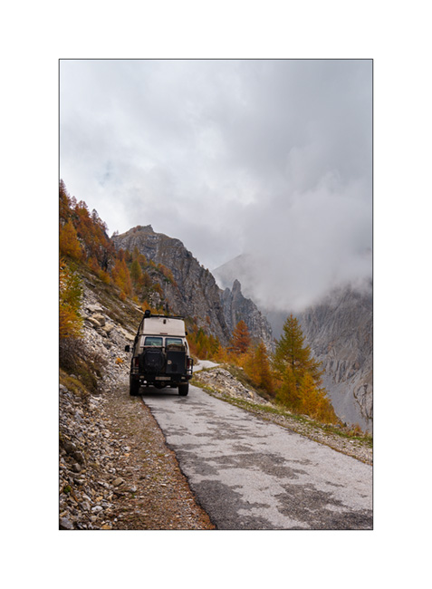
6. The limestone is steep on this side of the valley.
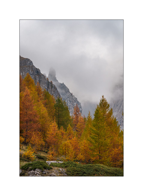
7. Near Meja Pass.

8. We continue on the trail towards refuge Gardetta.
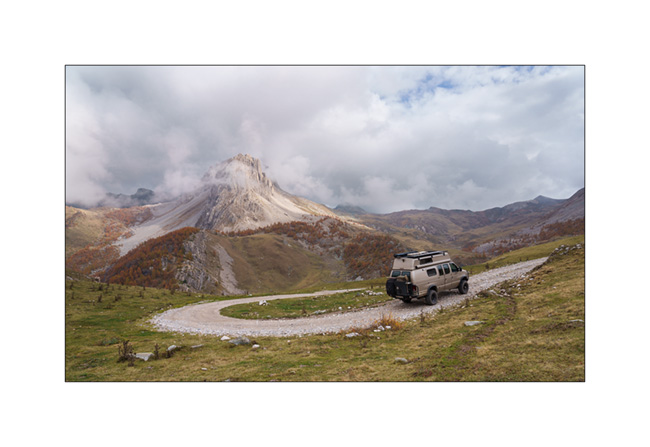
9. Meja Mountain in the clouds.

10. Altitude marshes.

11. The atmosphere is magical with the fog coming in.

12. Fall colors…
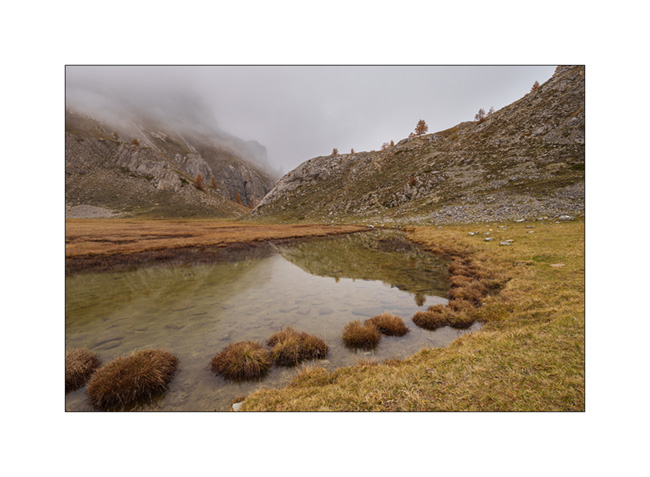
13. Under refuge Gardetta, at almost 7,000 feet elevation.

14. We do the entire crossing of the Maira Stura trail via Margherina Pass in the rain. Here, the old Barracks Della Bandia.

15. We find a nice boondocking spot on the edge of a small lake.
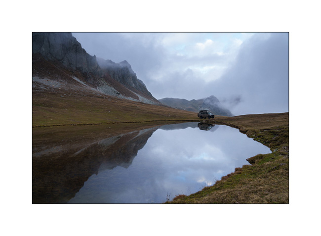
16. Rainy and windy twilight.

To be followed soon… 😉
 D5 Creation