
Galibier
now browsing by tag
Lautaret, Galibier and heights of Claree
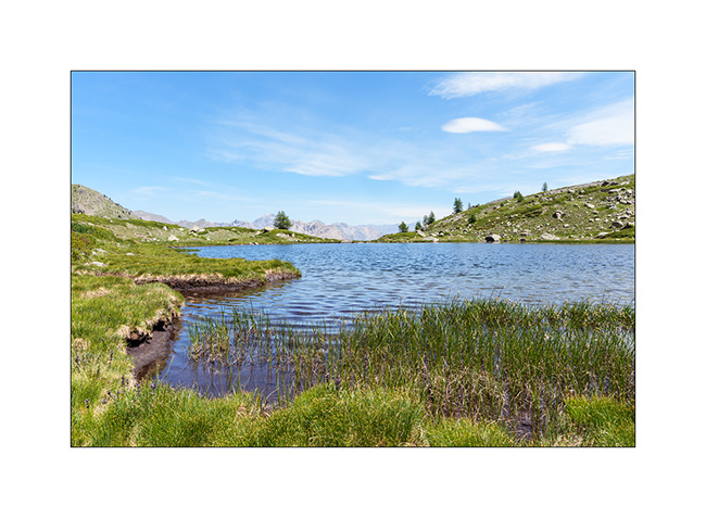
After going back up to the Granon Pass the following morning, we set off on a hike to discover the Cristol lakes.
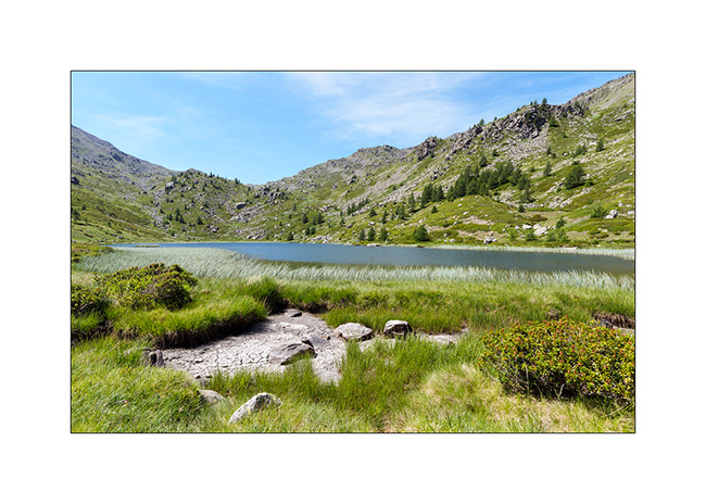
1. We discover the lake after passing through the Door of Cristol, a small pass 2 miles away from Granon.
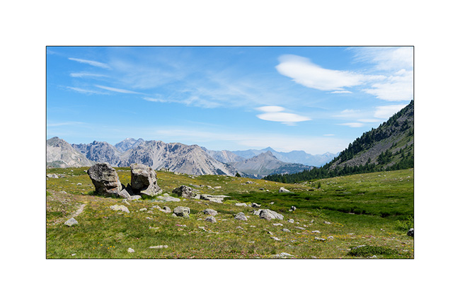
2. View on the Aiguille Rouge, the Pass of Thures and Italy.
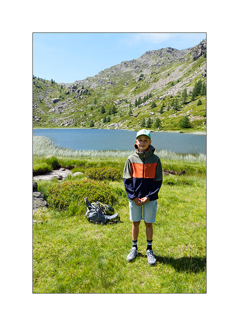
3. Emile the hiker. 😉
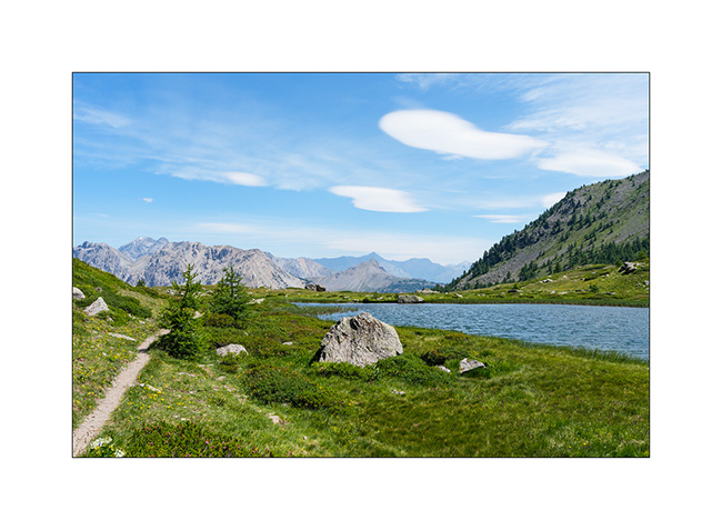
4. The place is really beautiful.
5. We then head back towards the Door of Cristol to discover the second lake called Round Lake of Cristol.
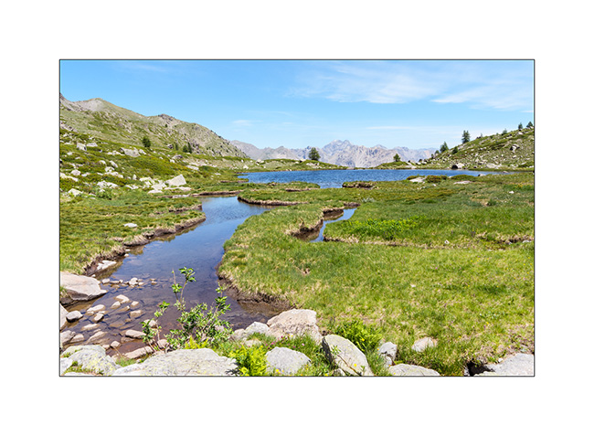
6. Upstream, there is a beautiful peat bog.
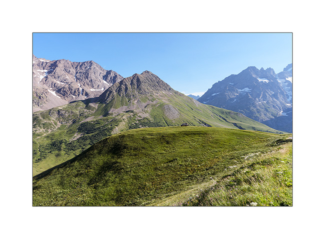
7. We do some groceries shopping in Serre-Chevalier and then head back up towards the Galibier. We find a boondocking spot at the top of a hill where only 4x4s can access. Can you spot VivaLaVida ?
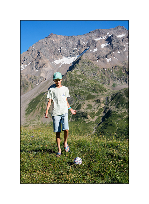
8. Emile is practicing his dribbling there, it’s Soccer World Cup season! 😉
The next day, after passing the Col du Galibier, we go up on mountain bikes to discover the lakes near the Pass of Rochilles.
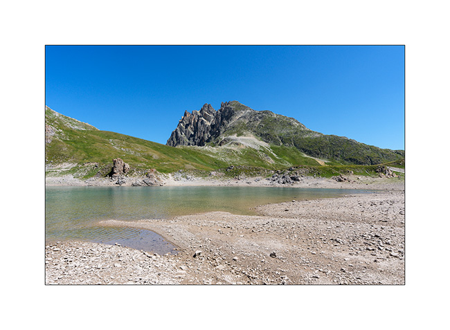
9. Grand Ban lake.
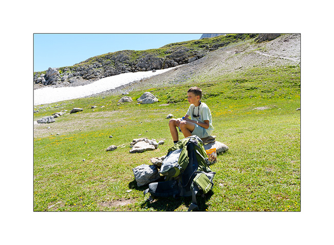
10. Recovery…
11. Round Lake and Pass of Rochilles.
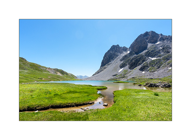
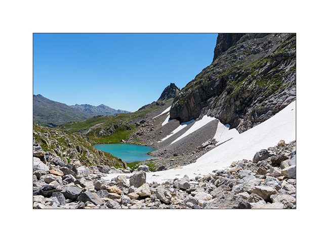
12. Beyond the pass, this small lake marks the source of the Claree river..
13. The alpine pasture at the bottom of the military road on the Galibier side.
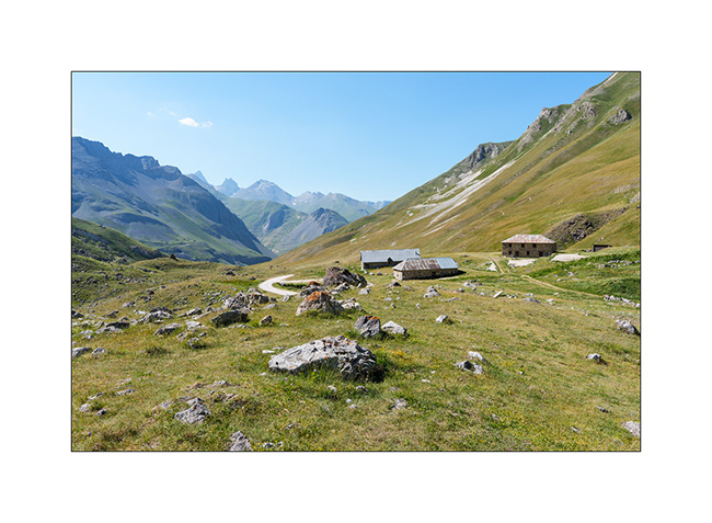
14. Our camp just above.
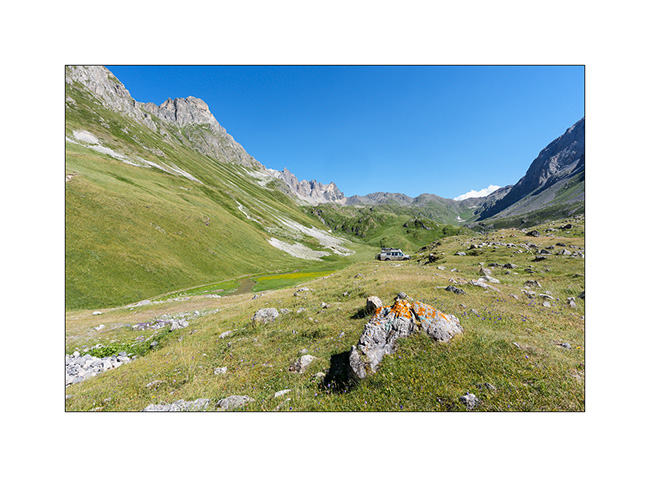
15. …near a beautiful stream.
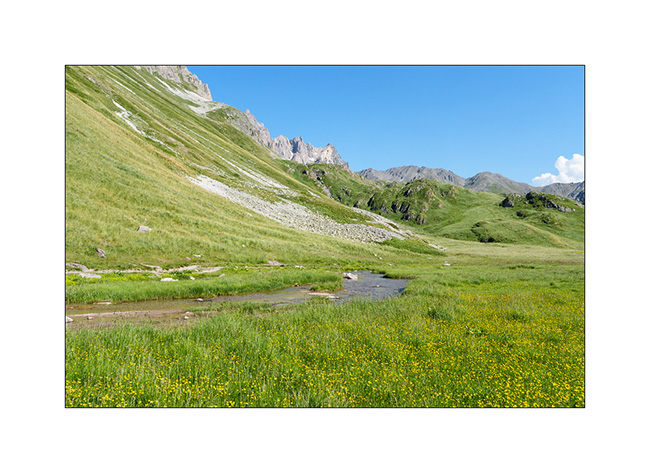
16. We enjoy to cool off.
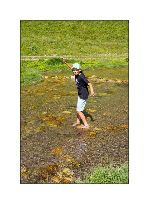
17. Late afternoon light.
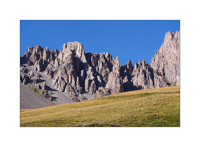
18. View toward northwest.
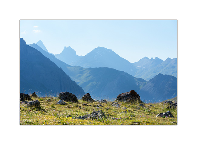
More to come in the next article soon.
Last day before heading Home…
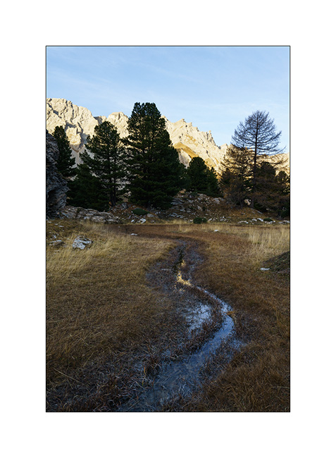
In the early morning, we go discover an altitude marsh spotted during our walk the day before..
1. A source there creates a stream that meanders on a flat.
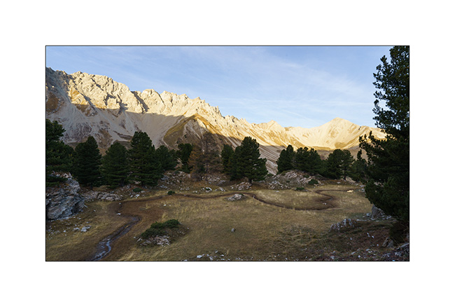
2. At its end, a small pond formed.
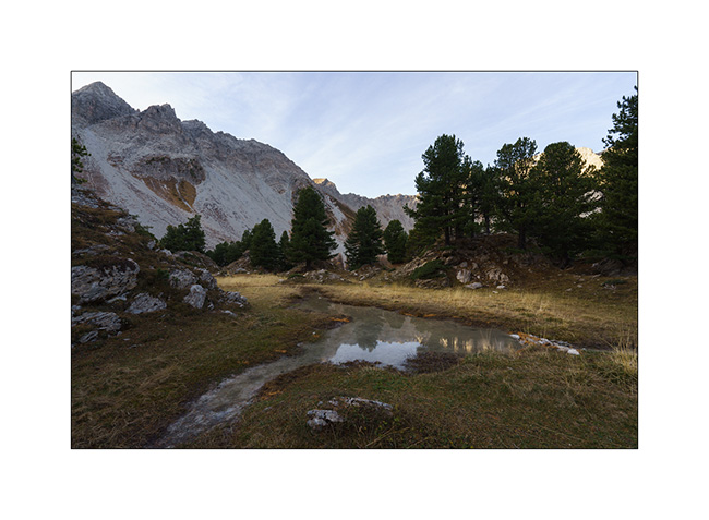
3. We don’t hang around too long because it’s chilly this morning.
4. Change of place to discover the bottom of the valley of Vallouise Pelvoux, at a place called Le Pré de Madame Carle. We discover a sub-glacial zone where the floods of the river create a gravel bar like those visited in Alaska.
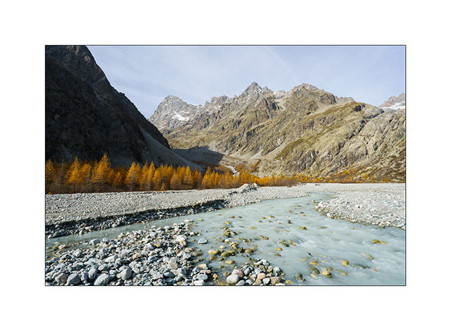
5. We are at the treeline altitude, which causes a certain alpine aridity at this place.
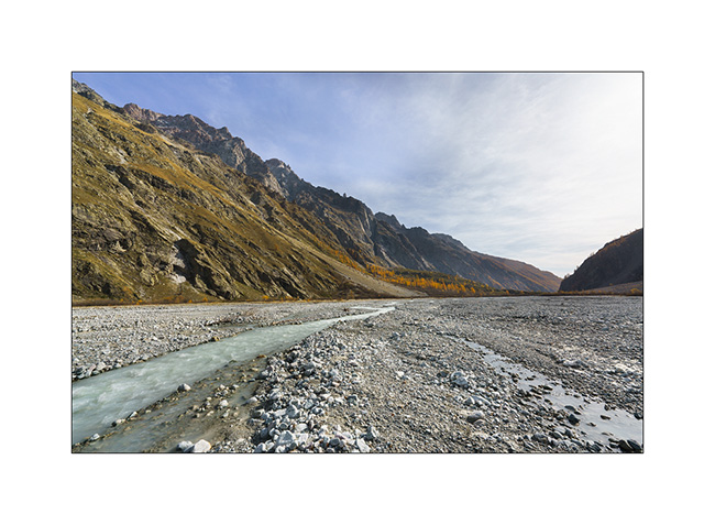
6. View from our lunch spot. They are worse, isn’t it?
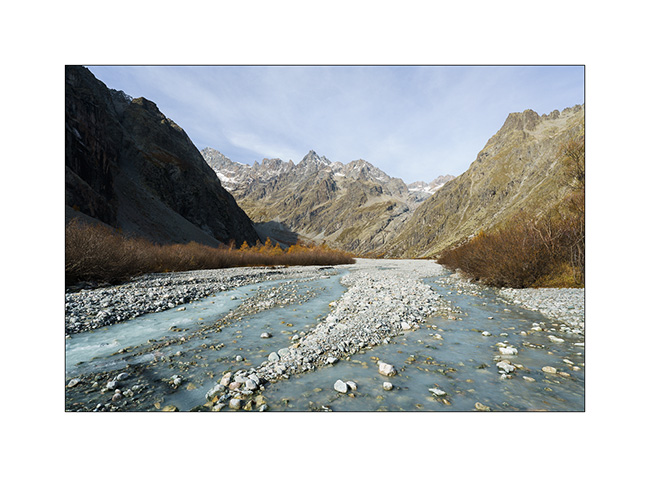
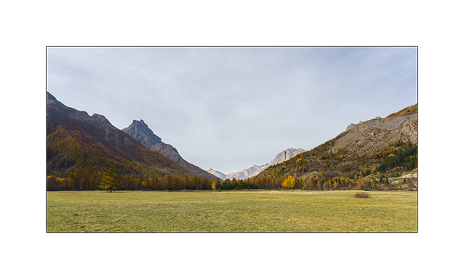
7. On the way back, between Briançon and the Lautaret pass.
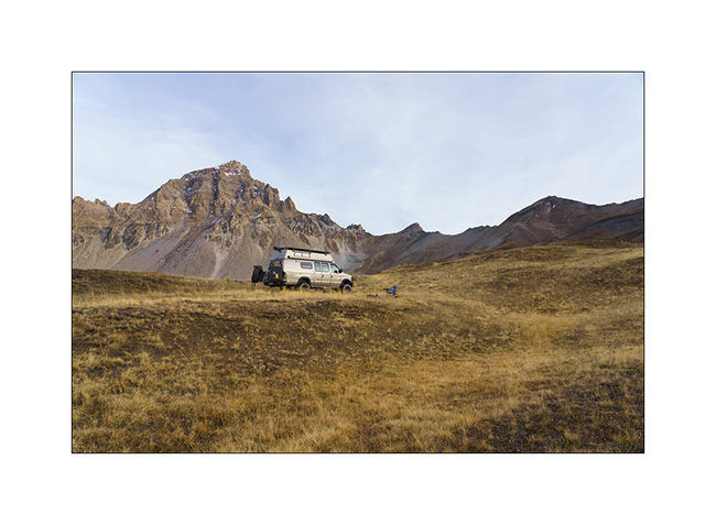
8. Thanks to the off-road capabilities of VivaLaVida, we find a nice promontory to boondock on the northern slope of the Galibier pass.

9. Out of sight of the road, our afternoon end is perfectly quiet there.
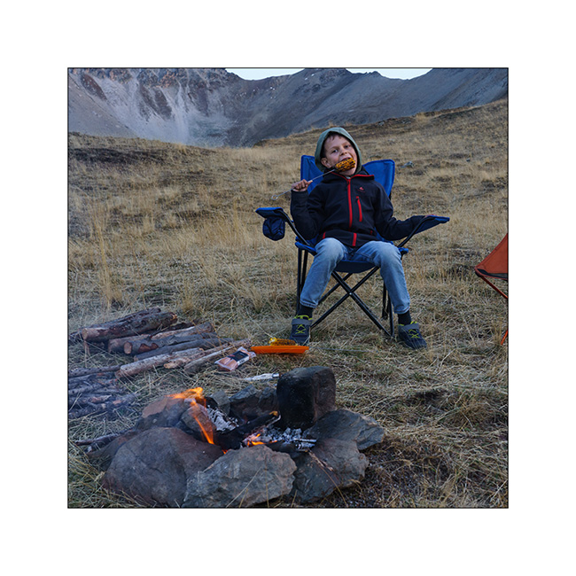
10. A last campfire for grilling some corns and meal.
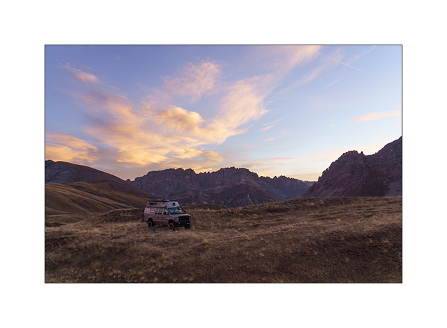
11. And a last image of this short week of travel with pretty colors at sunrise Sunday morning…
Back at home, we plan one or two more weekend outings before VivaLaVida returns to its wintering place. I’ll tell you about those in a while.
Thank you for your loyalty to follow this little blog! 😀
Fall holidays (4)
1. Wake up at 8,500 feet elevation under Fort Jafferau and the full moon.
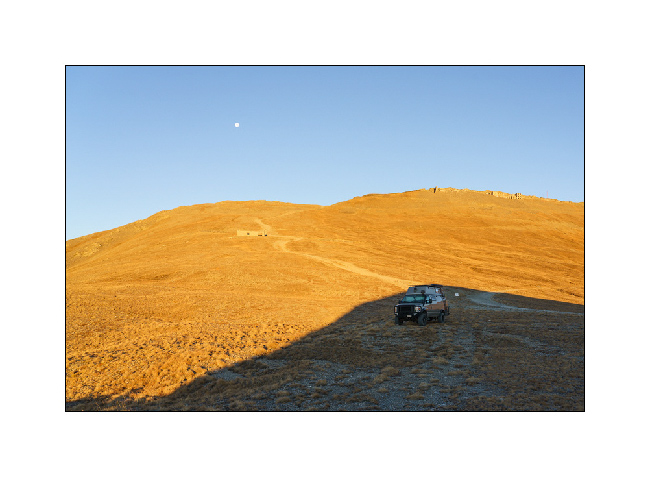
2. Mineral universe in the warm light of the rising sun…
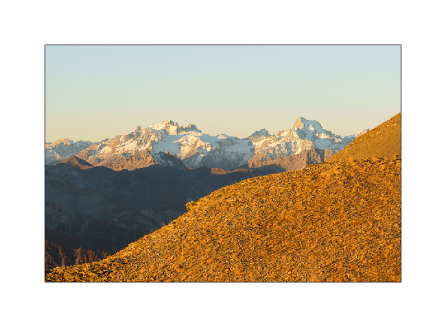
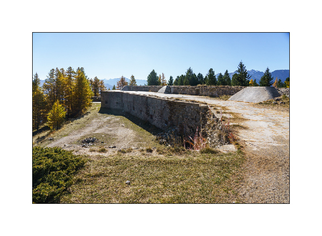
3. Another fort, Föens fortress, much lower in the mountain.
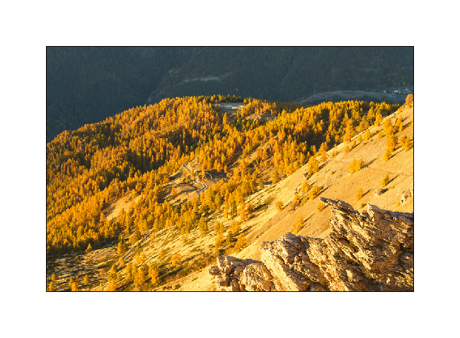
4. I love these high altitude tundra.
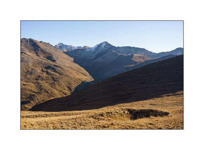
5. Another abandoned fort, just beside our bivouac.
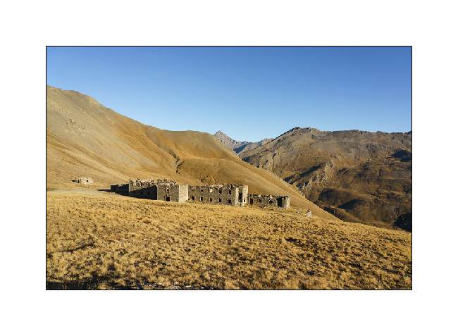
6. It’s time to break camp.
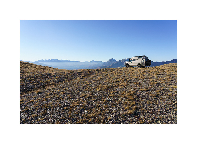
7. Going down, we find other golden larches…
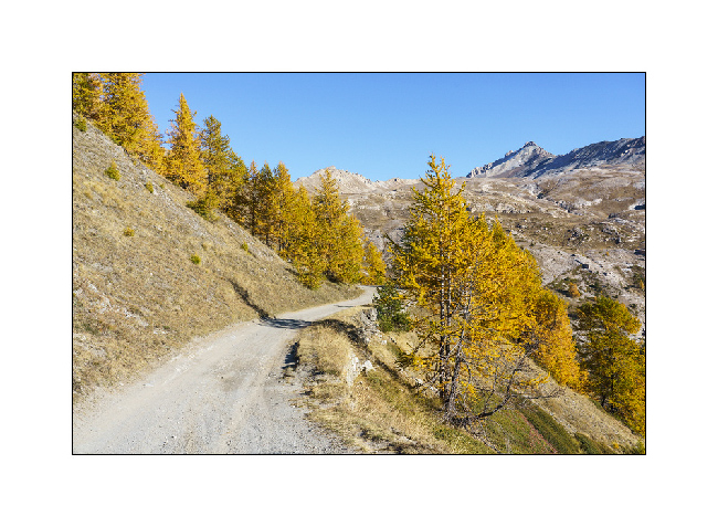
8. … and a much smoother trail on this side.
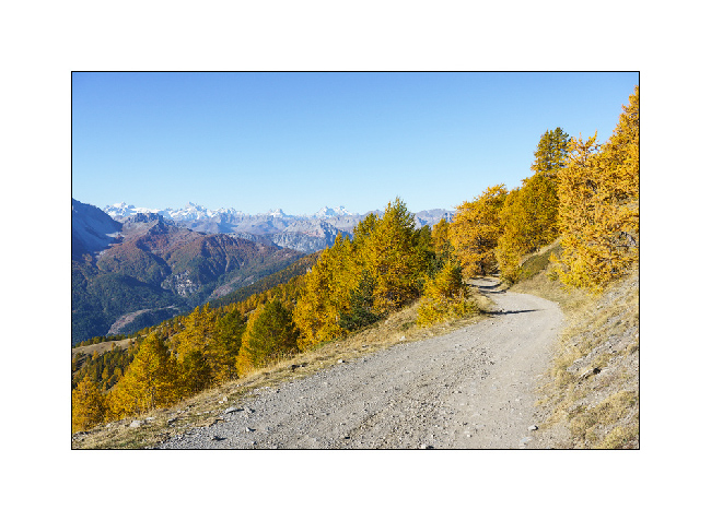
9. Föens fortress…
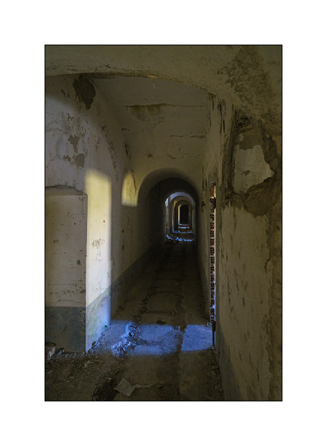
10. … of which we discover part of interior.
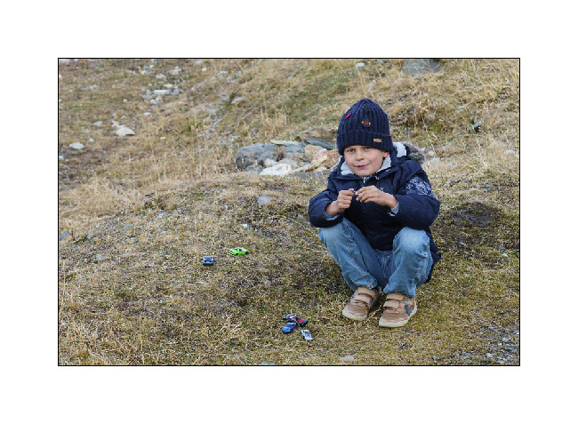
11. It’s already time to go home as it’s the end of holidays. Last boondocking under the Galibier Pass. Despite the negative temps, Emile plays with his small cars. 🙂
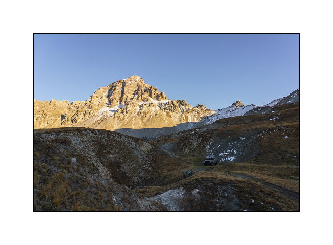
12. Last sunrays on the surrounding peaks and last image of the season for VivaLaVida.
Thank you for following our few 2021 peregrinations.
It is time for Emile and I to wish you a Happy Christmas! See you next year for new adventures!! 🙂
 D5 Creation