South Carolina @en
now browsing by tag
Atlantic Ocean (2)
Happy New Year to all of you! 😀
I continue here the photographic story of my year-end journey on the Atlantic coast of South Carolina and Georgia.
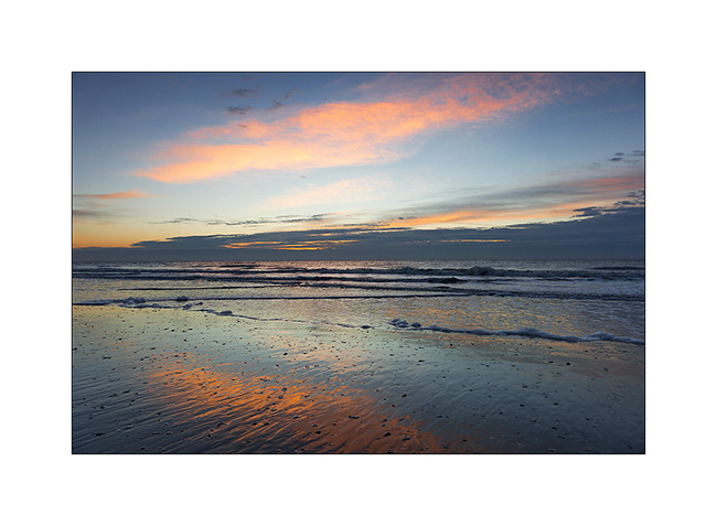
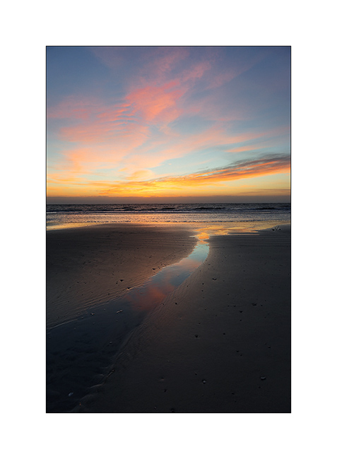
1. It begins with another sunrise, very cold again…
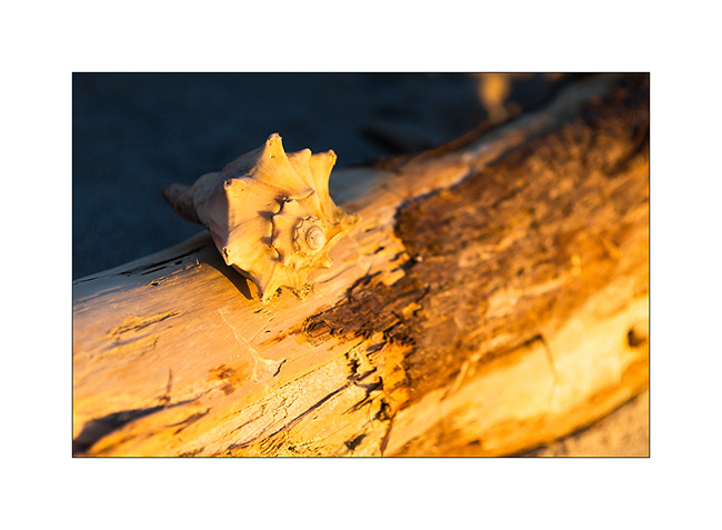
2. First sunrays on a beautiful shell (very postcard, isn’t it? );-)
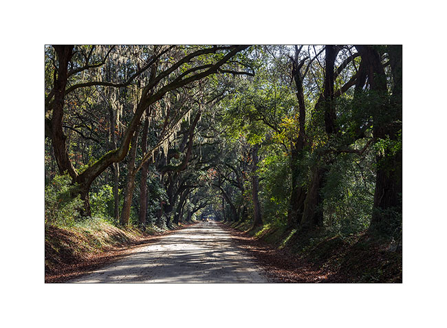
3. Oaks alley on Hunting Island, gorgeous…
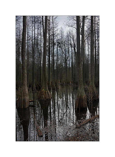
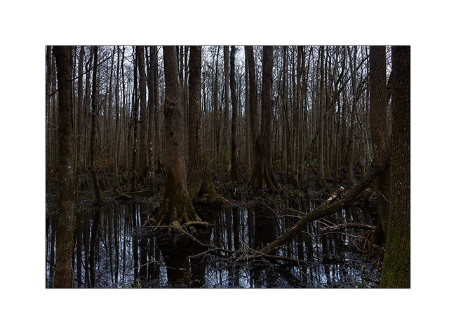
I then headed north of Charleston to visit Franklin Marion National Forest, in particular areas of forest swamps.
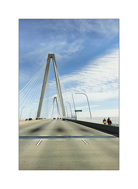
4. Suspension bridge spanning an inlet in Charleston.
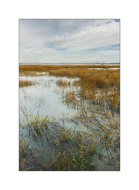
5. On the road, marine reedbeds…
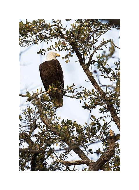
6. A visitor to my campsite in the evening … Awesome! Too bad it was so high up…
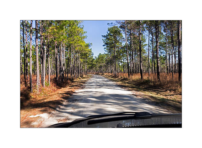
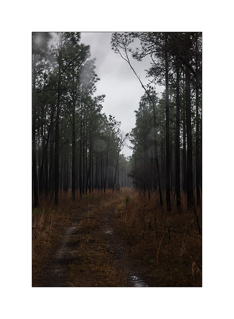
7. Nice forest roads to go to the swamps…
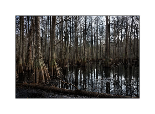
8. Here they are. The atmosphere was amazing, I wouldn’t have been surprised to see a troll coming out of the swamp..! 😉
9. Wading in the mud with my sandals, I found other views…
10. One last picture…
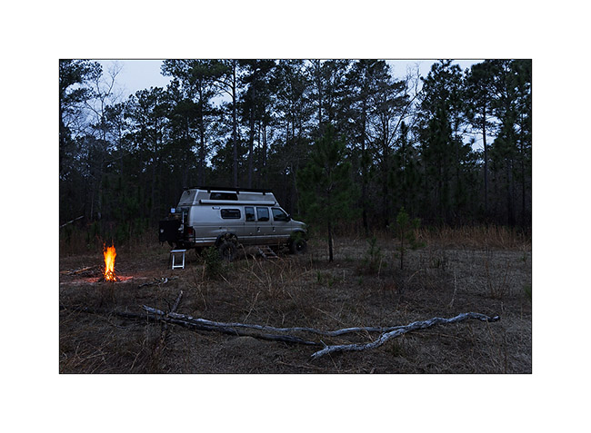
11. While I was looking for a place to sleep, the weather turned bad and a storm started a gray and rainy episode…
12. A small lull still allow me grilling my evening meal… 😀
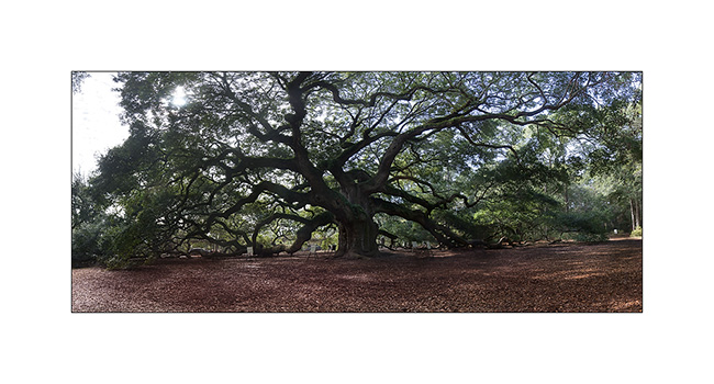
I took the road South again, stopping to see Angel Oak, a giant tree in Charleston. I already stopped there on the way up but it is precisely the day that the State services proceeded with its annual maintenance … 🙁
Angel Oak is immense: its trunk is more than 6 yards in diameter, the tree itself more than 50 yards in diameter and 35 high. Its age is estimated at four or five hundred years. The photo below is a panorama of 60 images! In fact, 4 panoramas 5 images, each of three bracketed images at -2, 0 and +2 EV, assembled to remove dozens of visitors on the site … 😀
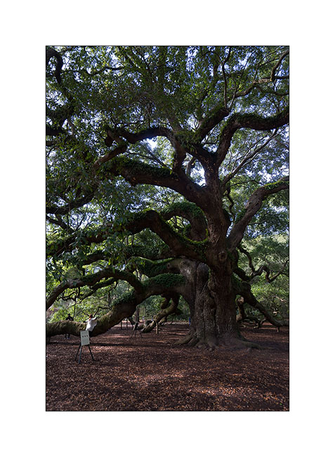
13. Angel Oak, the giant tree!
14. Several branches lie on the ground…
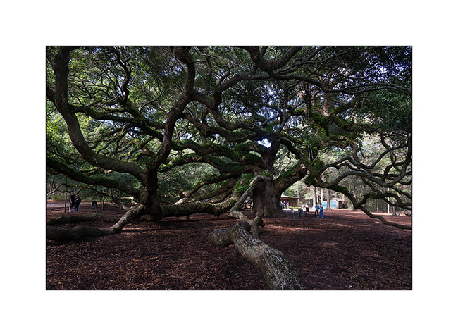
15. A true tormented colossus…
the following will be a little more animal and urban… 😉
Atlantic Ocean!
I had announced it in my last update, Vivalavida discovered the ocean on Christmas Day. The desire to see something a little different after more than three months of Appalachian, so I took the road to South Carolina after a detour through Atlanta to discover a great World Market (in which he was unfortunately forbidden to photograph…) where I bought my Christmas dinner…
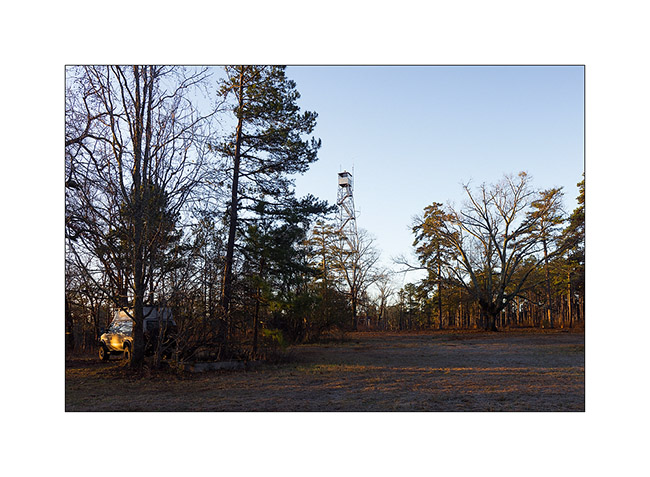
I left Atlanta late and since this huge city is perpetually congested with dozens of miles of trafic jams, I stopped in a National Forest about 70 miles away to spend the night near an old fire watchtower.
1. Boondocking…
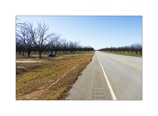
Having decided to take the back roads to better discover the landscapes of eastern Georgia, I crossed areas where walnuts are grown. Some “walnut fields” stretched out of sight, like the one I squatted to lunch.
2. Walnuts…
Taking my time, I discovered the ocean only at dusk. Time to find a place to spend the night on Hunting Island, I had a good Christmas diner: Scottish smoked salmon with dill and Moscato d’Asti Nivole..!
3. Christmas diner

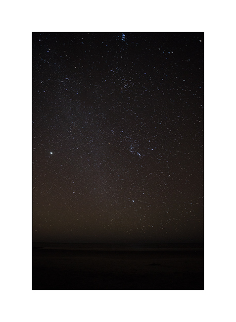
I still made a small walk on the beach and enjoyed photographing the sky. The brightness was curious, with the moon just before moonrise, below the horizon…
4. Christmas sky…
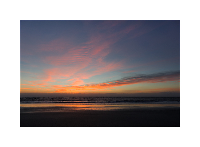
5. Waked up early to go seeing the ocean before sunrise, I enjoyed right again splendid colors…
6. Almost slack…
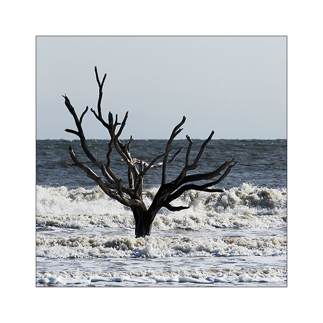
The recent hurricanes have claimed more than 100 yards from shore, gnawing the beach and sometimes leaving a standing tree which now seems to have grown in the sea .. Superb for images!
7. Survivor, well almost…
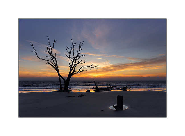
It is hard to see on the pictures but there was a strong wind and it was 34°F. I had really cold fingers coming back to VLV after 2:30 walk on the beach!
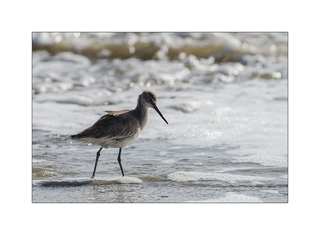
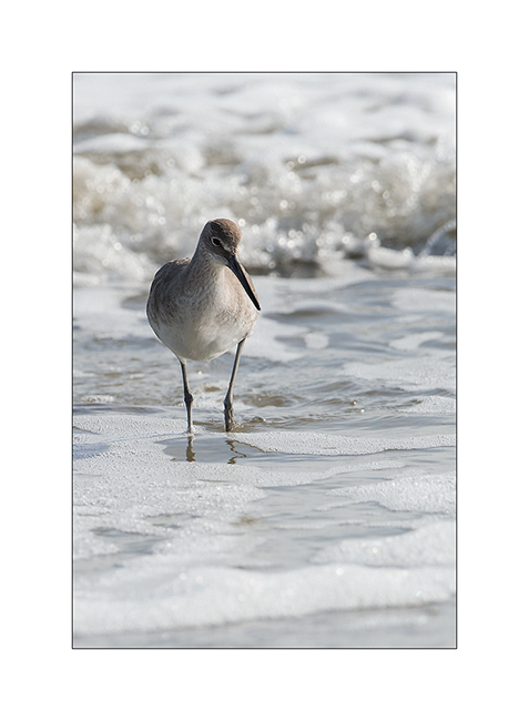
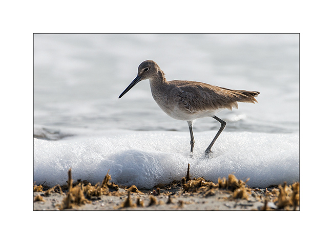
Having spotted a pond behind the dunes, I left again a little later to go birdwatching.
8, 9 et 10 : Willet
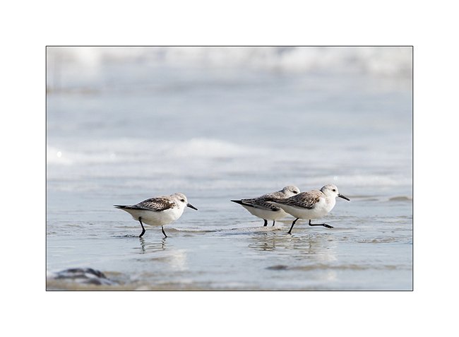
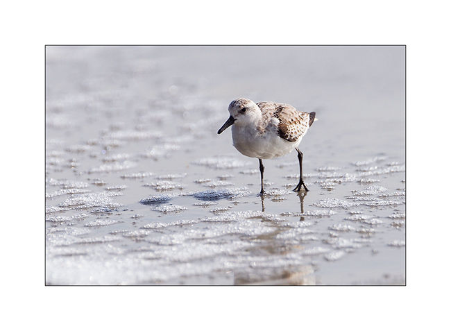
11 et 12 : Sanderlings
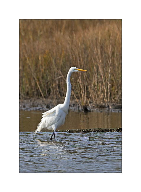
13. Great egret
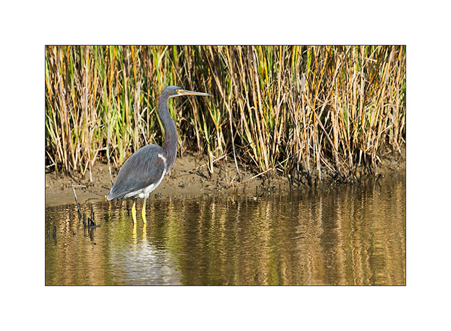
14. Heron
15. Another survivor…
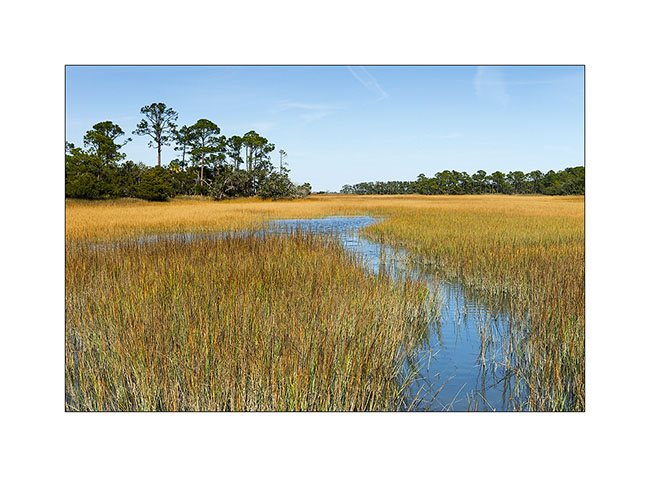
I then moved to the salt marshes behind the island that sheltered me for the night.
16. Sweetness of this flat wet land…
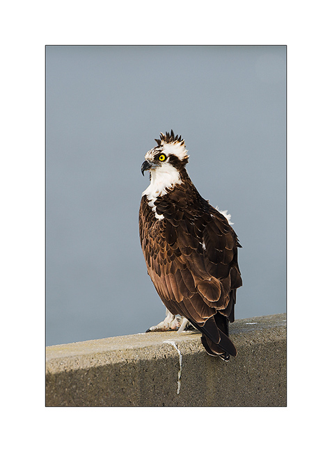
Having spotted an osprey with binoculars on the bridge deck that allows access to the island, I used Vivalavida as approach him when my silhouette would have made him to scamper at 150 yards…
17. Watchful hunter…
18. Just beforedoing what we do in the bathroom… 😉
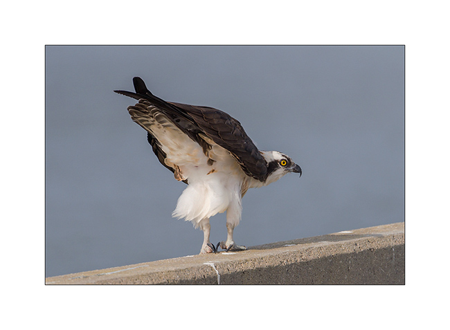
19. A last one..! It’s not everyday that I can get so close of such a lord… 😀

I then returned buck to the wet land and I had the chance to see some other species…
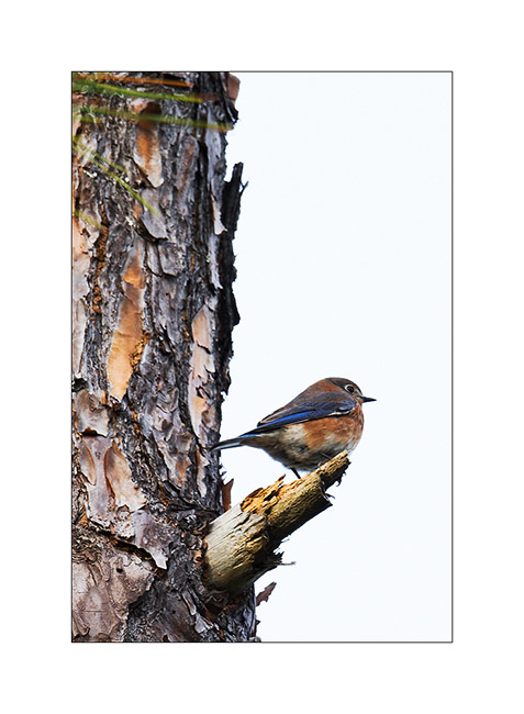
20. Eastern bluebird
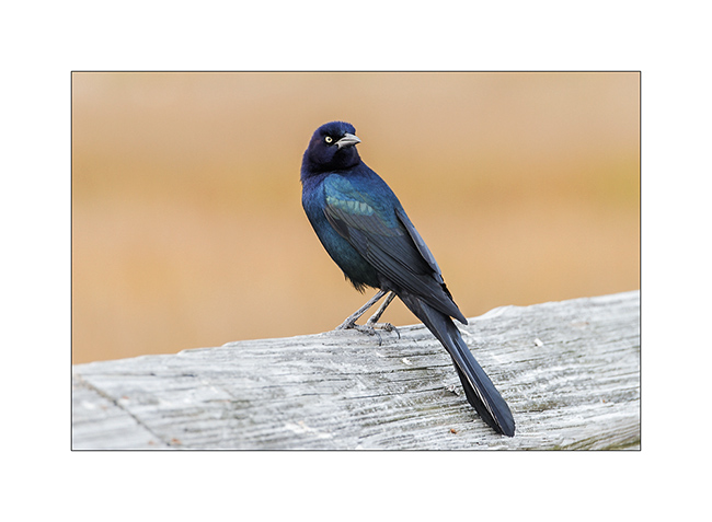
21. Great-tailedgrackle. It’s a verry common bird here, not apprehensive. Here is the male
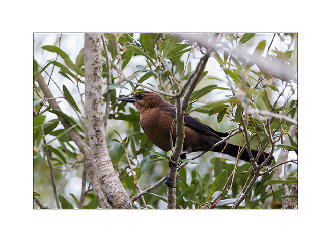
22. … and his female…
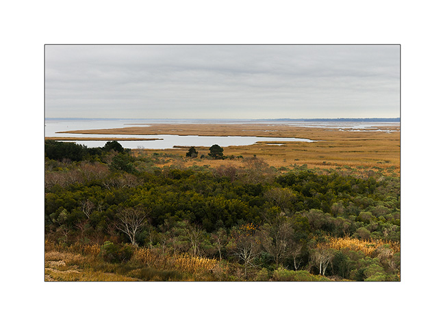
23. I end this update with a picture taken from the long bridge that provides access to the island. It allows you to discover the wet land covered with rushes and flooded at each tide…
To be continued…
And as the days go by and I’m never sure when I can connect properly, I already send you my best wishes for the new year approaching. Can he invite you to fully experience your desires and dreams as I have the chance to do it with Vivalavida..!
A big thank you for your faithfulness to follow this blog… 😀
Lake Jocasse (again)
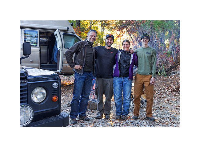
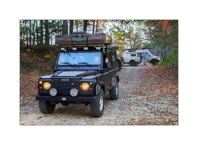
I get back to camp at Lake Jocassee with Cory and Mike, Heather and Justin. Cory and Mike are Swiss, from “Zürcher Oberland”. They are travelling in Bagherra – a Land Rover Defender 2.5 diesel, since almost nine months and are on the way home. Bagherra will take the ship to Switzerland on November 19th… If you want to discover their trip : www.travel-north.com.
They generously gave me their weather radio, a book on fly fishing and their bear spray, many thanks ! 😀
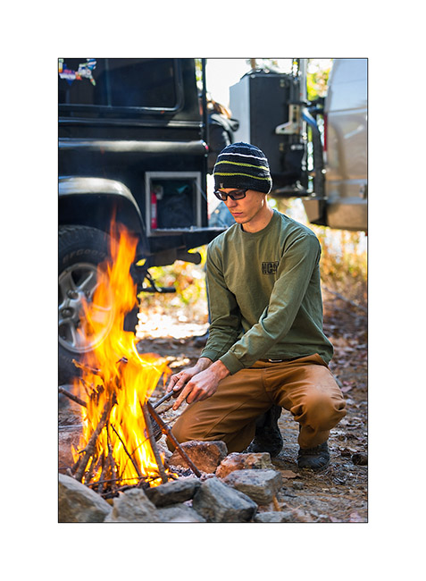
We spent a great evening at our camp fire…
1) Cory
2) Mike
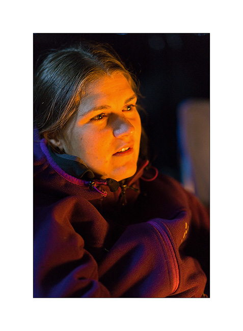
3) Heather

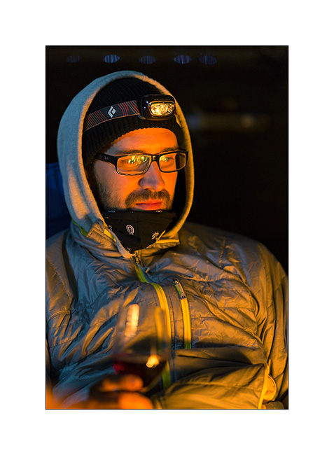
4) Justin
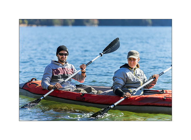
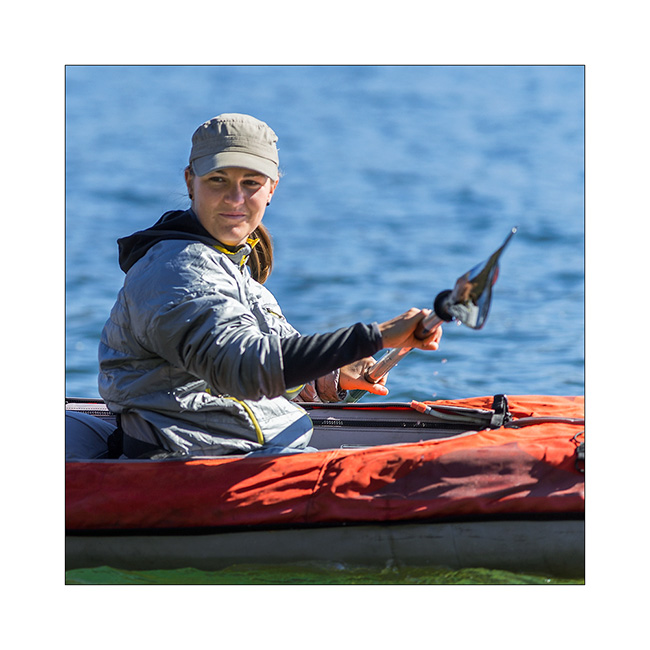
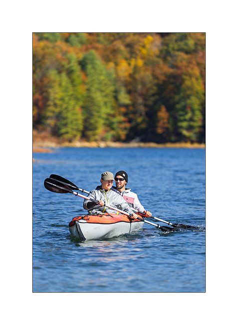
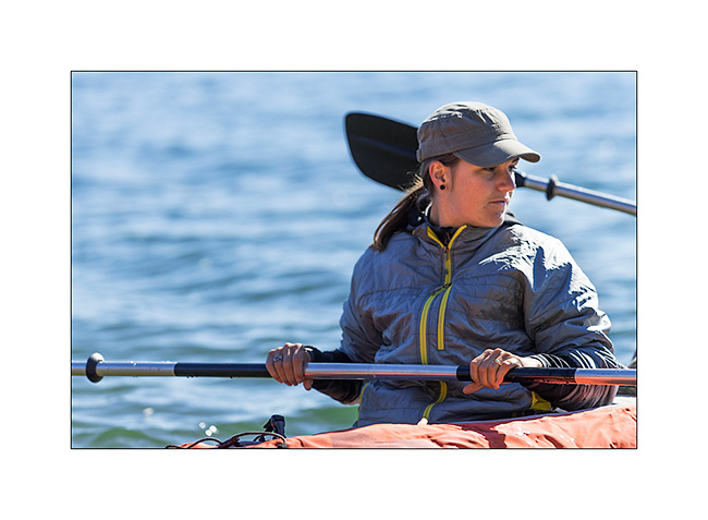
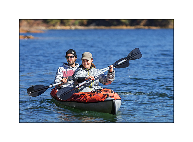
5) à 9) Justin took his canoe and Cory & Mike enjoyed it…
10) Our boondocking site at the lake

They leaved late afternoon to take the way back home…
11) Photo souvenir…
12) Bye bye friends, have a safe trip back home… 😉
13 à 16) I enjoyed a great Sunset at this beautiful lake…

… before to drive to go discover new waterfalls and two natural bridges in Tennessee.
Have a good week! 😉
Lake Jocassee area…
This update is a special dedicace to Janet & Jonathan who adviced me to go discover this area during a great diner together at their house. Remember, it’s the couple I met some weeks ago at North Mills River and who are real friends now, with who I had a great mountain bike ride.
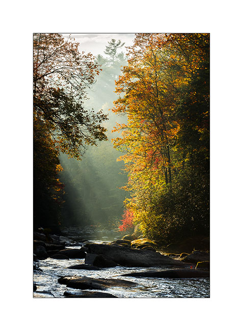
The second very technical track that I mentioned in the previous update was heading to discover the Mill Creek Falls that Janet & Jonathan – I will call them J&J now 😉 – had told me about. Since the season of the canoe rental company was done now, I had to get there by land. By studying the detailed forest service maps, I discovered what appeared to be a dirt road. In fact, it is probably an abandoned forest road, a good ten miles long, climbing steep hillsides to go down on the other side just as steep!
0) Morning light on Horsepasture River
1) Small creek crossing…
2) Banked turn…
It took me almost three hours to go 7 miles – crossing South Carolina border – before being stopped by a large fallen tree in the way that I couldn’t cut with my handsaw. So I took the bike to continue but after 2 miles pushing and carrying more than riding it, I left it to continue on foot. The last 2.5 miles held more rainforest than anything else as the vegetation was so dense. Without machete, I took almost two hours to finally arrive to the lake, without open area to photograph the waterfall falling in the lake. So I took off my hiking shoes and got wet feet for taking what is really not my best picture! But I post it anyway for Janet & Jonathan… 😉
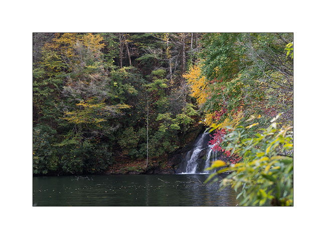
3) Mill Creek Falls
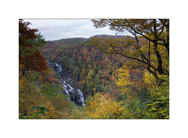
The way back was just as long and I was out of the forest late afternoon. I still did a short stop beautiful Whitwater Upper Falls, with the advantage that Sunday evening, I was almost alone there…
4) Upper Whitewater Falls
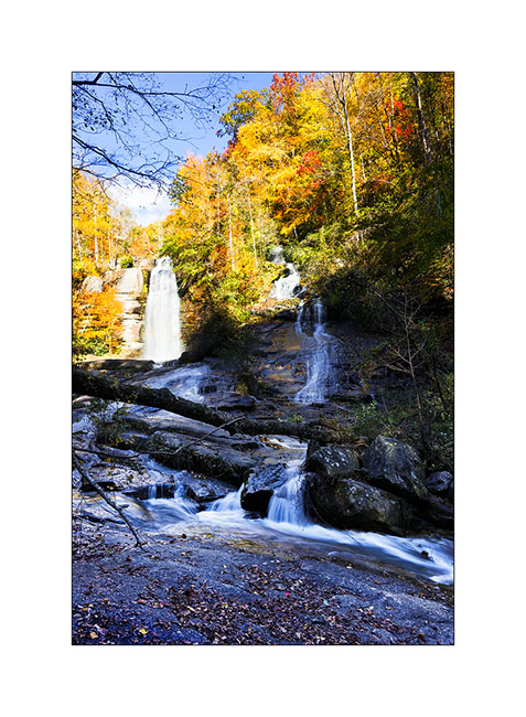
The next day I continued exploring the surroundings of this beautiful lake. First by visiting the pretty nice Twin Falls…
5) Twin Falls
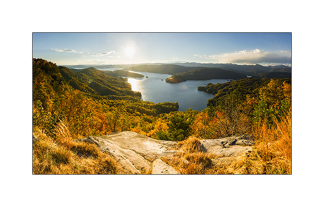
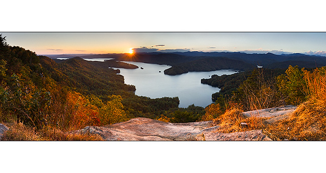
Then taking a new forest road way more accessible than the previous one, reaching one of the only open promontory of the area as the forest is everywhere, named Jumping-Off Rock. The sighting of the Lake Jocassee is just gorgious and I pulled the pan head to show it to you in two panoramas taken about fifteen minutes apart…
6) & 7) Lake Jocasse from Jumping-Off Rock
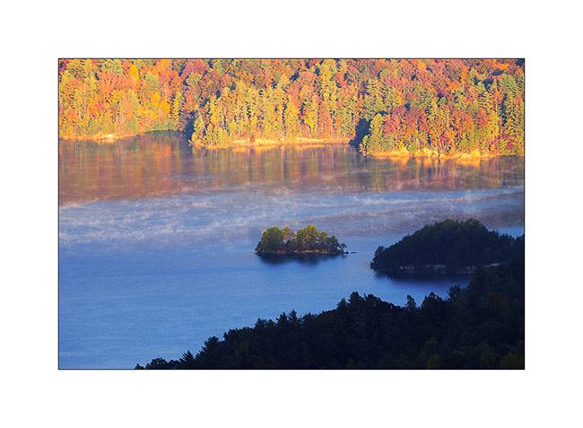
Having slept close, I went back there the next morning and it was freezing…
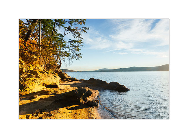
8) Lake Jocasse
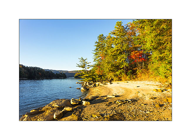
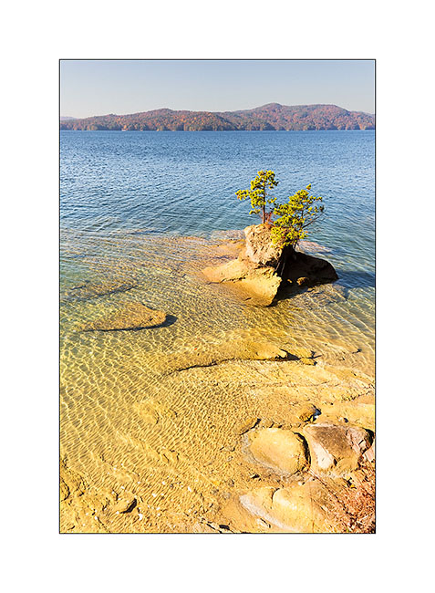
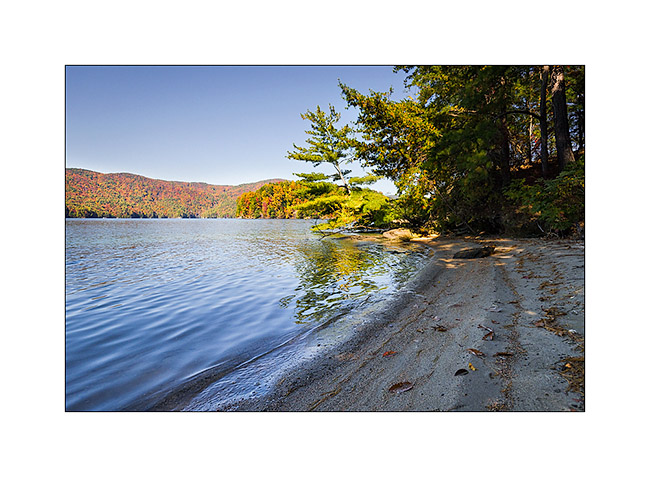
Still thanks to the USFS maps downloaded on my iPad, I spotted a trail down to the lake, at the end of a peninsula. I discovered a small very nice beach here…
9) Last land of the peninsula!
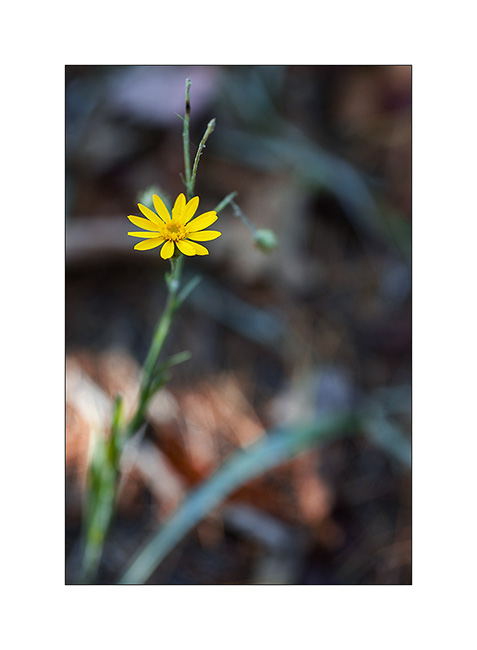
10) & 11) Vegetal…
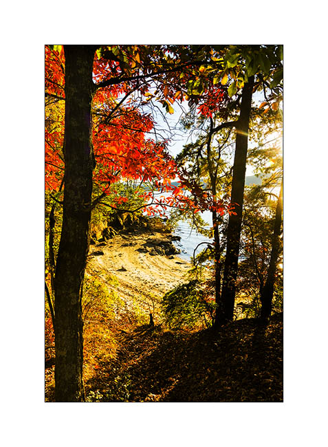
12) Small hidden beach…
That’s it for my small Jocasse trip. I will show you other waterfalls in my next update… 😀
Thanks to all who follow that blog – and for the comments you write; I really enjoy to read them after each update… 😉
See you soon
PS : I almost forgot: Janet makes the best brownies I’ve ever eaten! Yes, you can be jealous… 😉