mountain
now browsing by tag
Pyrenees (2)
1. Wake up at the Pedró dels Quatre Batlles. It is cool but the view is gorgeous.
2. …

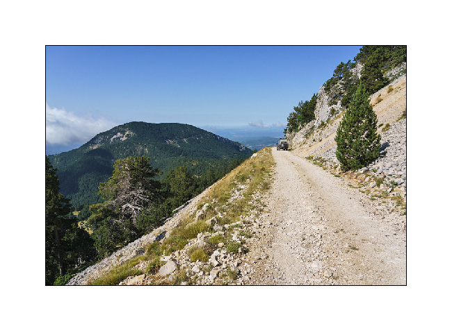
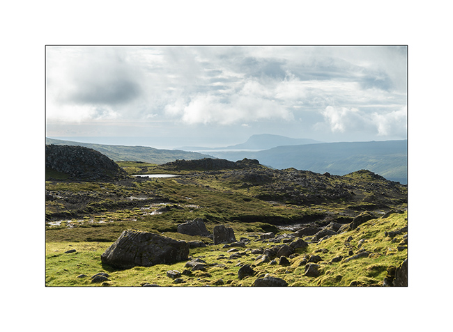
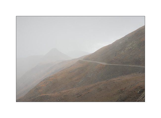
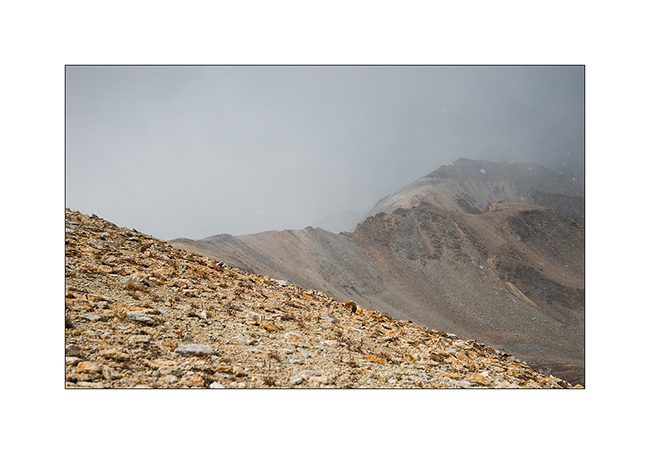
3. We take a spectacular trail to go down from the plateau.
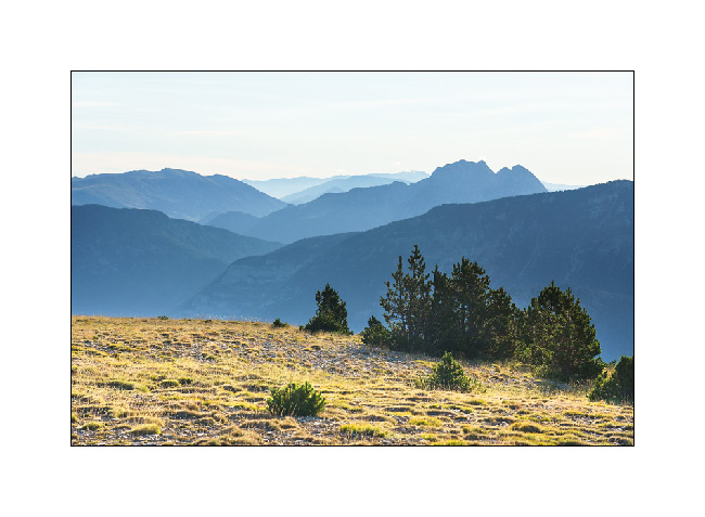
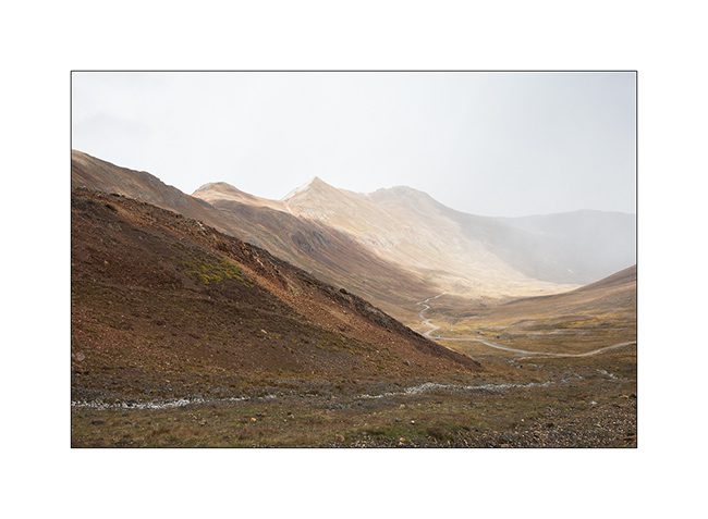
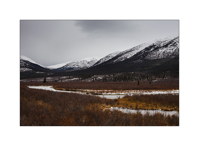
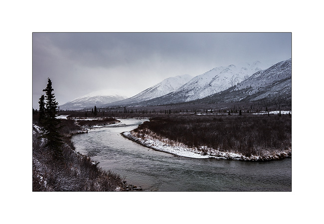
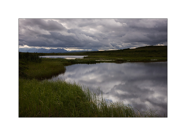
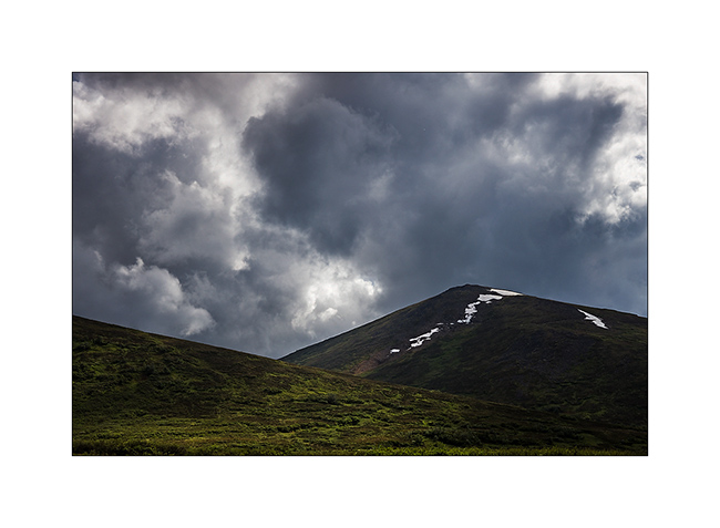
4. View toward South.

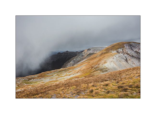
5. Escarpment.
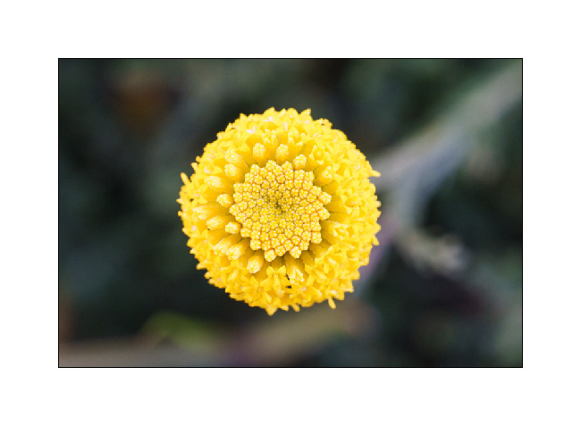
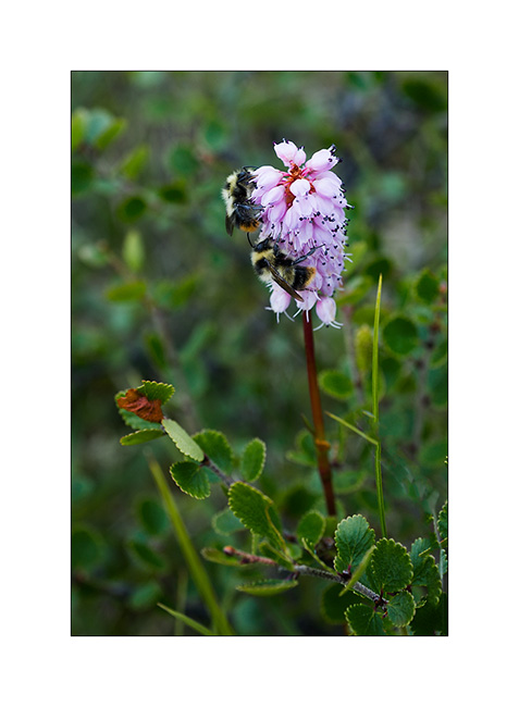
6. Flower in the limestone rockery.
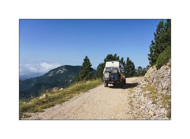
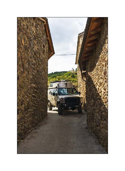
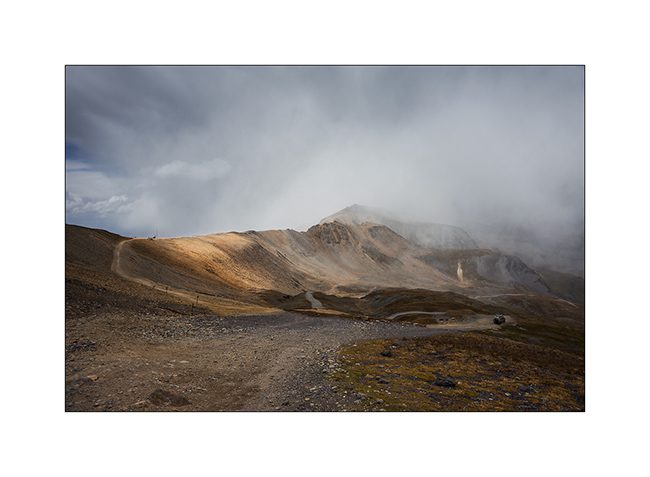
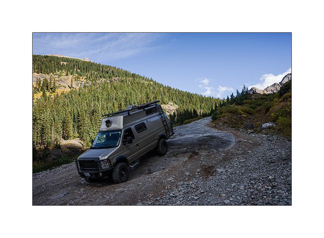
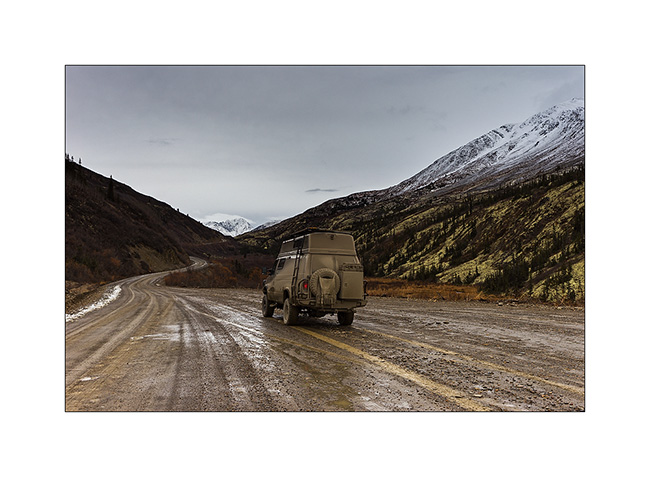
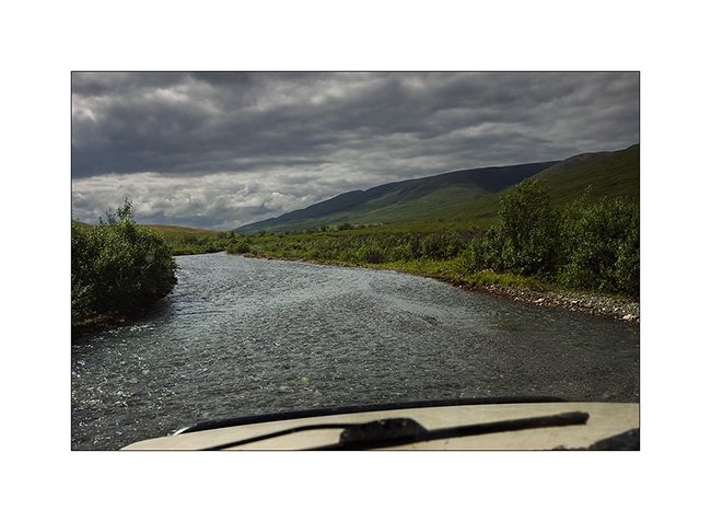
7. Further, a narrow passage in which i had to fold mirrors. We crossed it in both directions, the trail having been washed out 1.5 mile further.
We found several trails closed by recently installed barriers, undoubtedly the price of the hordes of 4×4 which crisscross them more and more.
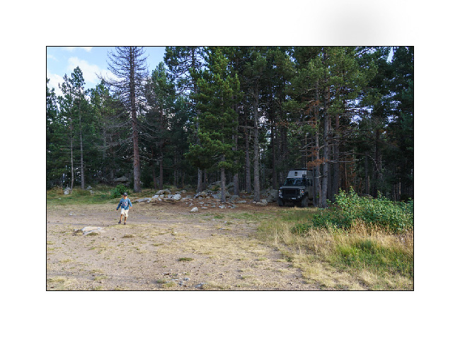
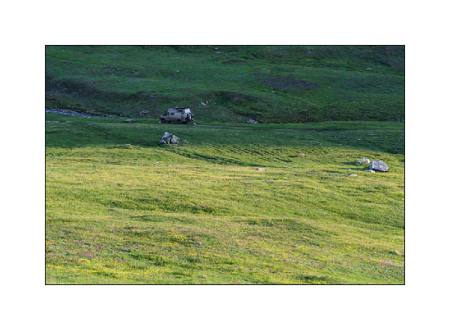
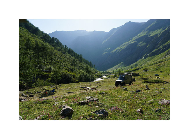
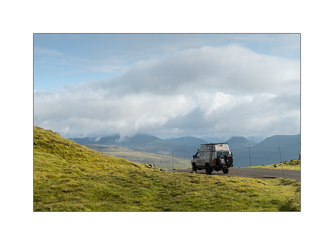
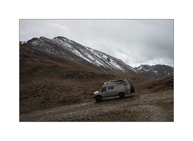
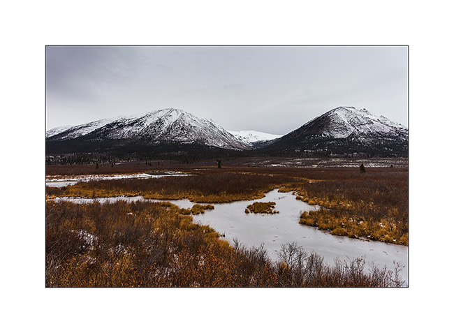
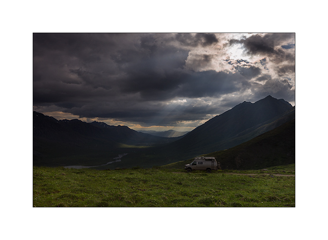
8. Nice boondocking spot.
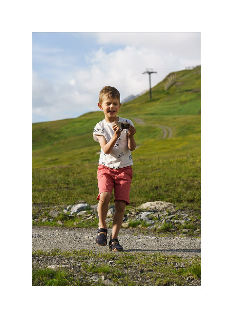
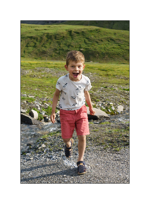
9. Emile is always ready to play with his small cars…

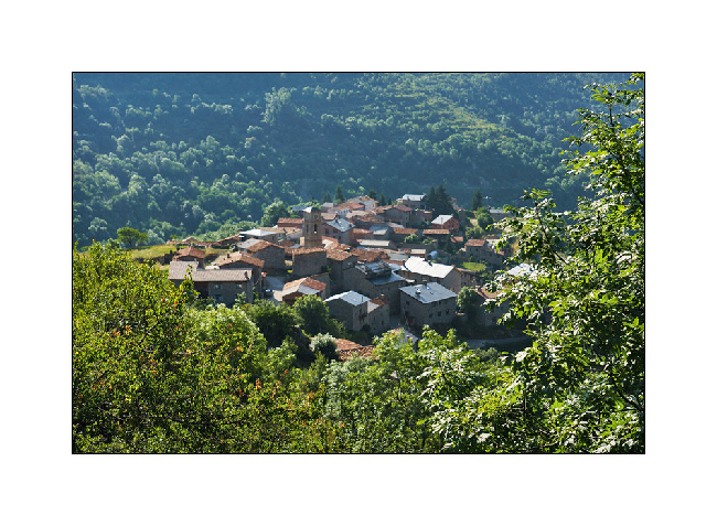
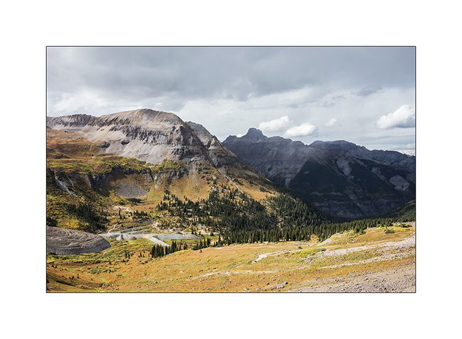
10. Smal village in the mountain.
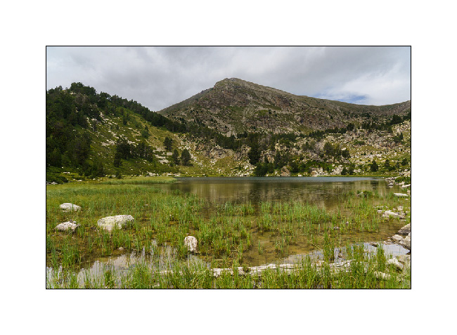
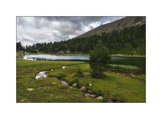
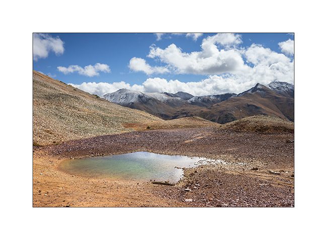
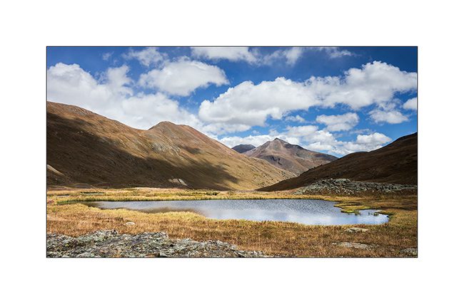
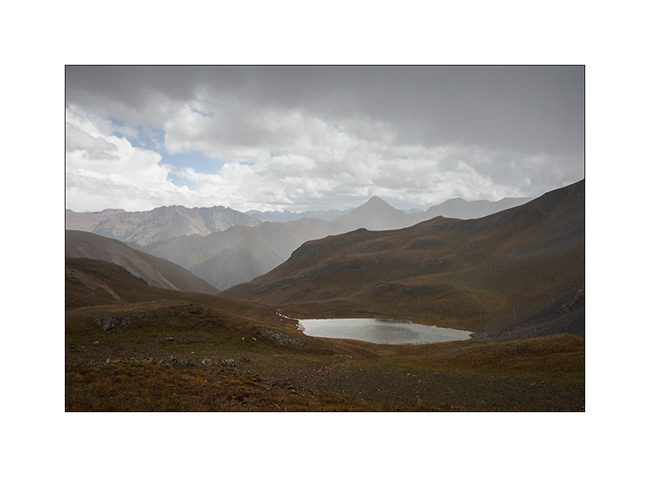
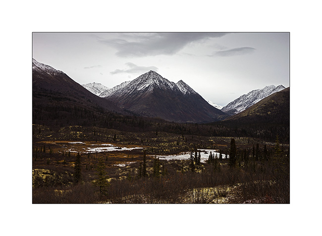
While we were stopped by a barrier at the entrance of a trail which should have lead us to discover a pretty mountain lake, Emile said “We just have to walk there”. I explain to him that the lake was at a 7 miles walk with more than 2,000 feet of elevation gain but he insisted. So I parked VivaLaVida and here we were for a day of walking. My little guy had bravely swallow the more than 14 miles round trip! A real mointain goat!
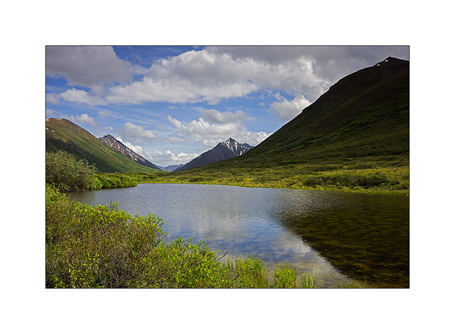
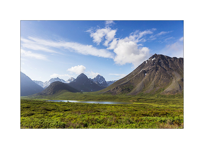
11. The lake we hiked.
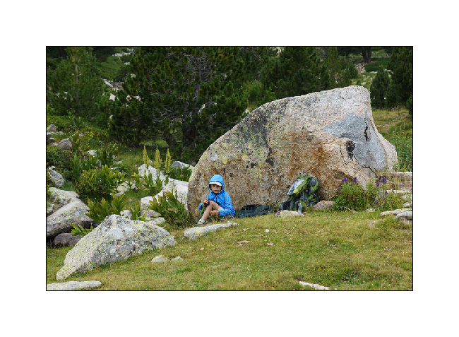
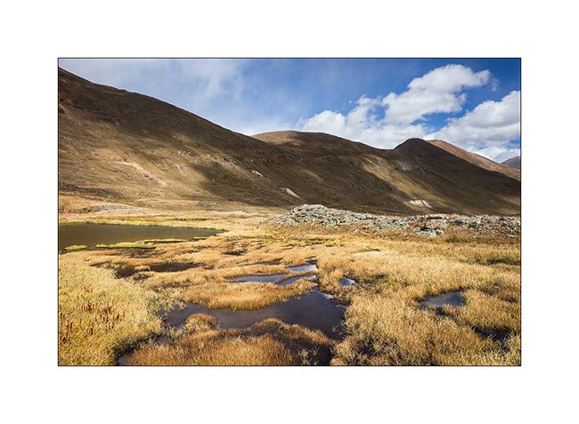
12. Picnic in the shelter of a rock while the wind blows in gusts.
13. Before the way back.
Other discoveries in a few days…
Summer trip 2021, start in France and Italy
Both Emile and I were eager to hit the road after two years without traveling in VivaLaVida. However, while we planned to leave on a Monday, trying to crank VivaLaVida the previous Thursday, no way to start it! I do the diagnostics and identify that it was the injection pressure regulator that was out of order. I ordered the part in the United States with express shipping and received it next Monday. The time to install it and check that everything was fine, we finally left on Tuesday at the beginning of the afternoon …
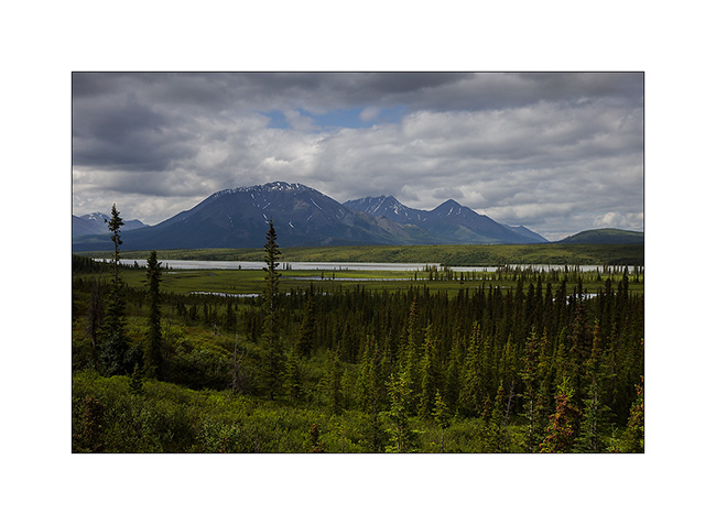
1. First stop at Fairies lake, in Beaufortain.
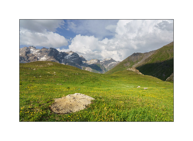
2. The next day, we go to the Iseran Pass, more than 9,000 feet elevation.
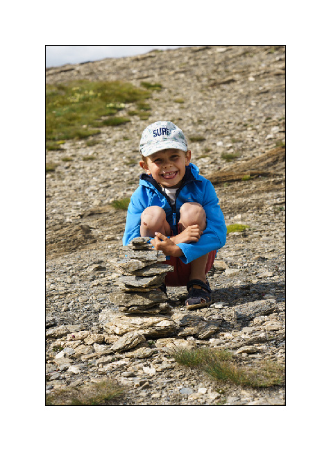
3. Emile building a kern.
4. View of the mountains where Isère takes its source.
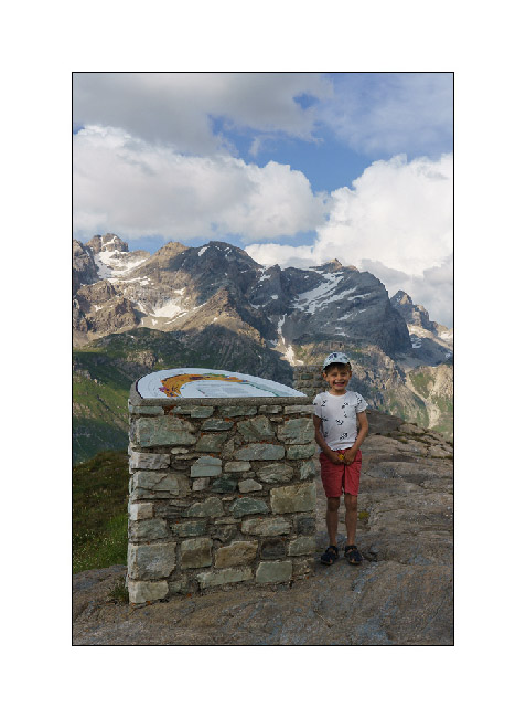
5. Emile in front of an orientation table.
6. We find a place under the pass to boondock.
7. There is a torrent, Emile throws some stones at it!
87. All happy!
9. The sun hides behind the mountain until the next day…
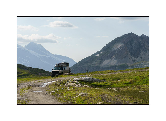
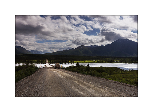
10. The next day, direction Italy in the Rochemolles valley via Mont Cenis.
11. The pleasure of the first campfire of the trip.
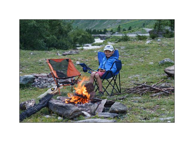
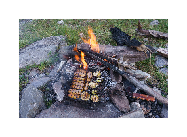
12. Dinner!
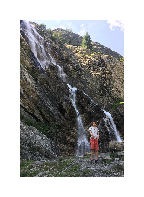
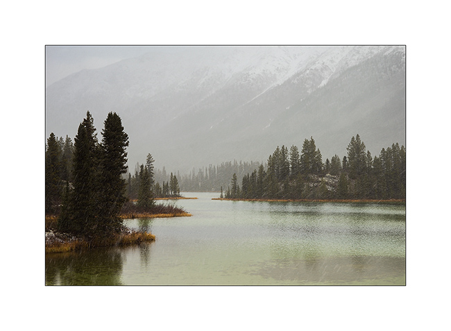
13. The following morning, we go up to the Scarfiotti refuge and its small lakes. I give up going up to the Sommeillier Pass because you have to pay to take this dead end track and there was a lot of people.

14. Waterfall behind the refuge.
Continuation of the story in a few days… 😉
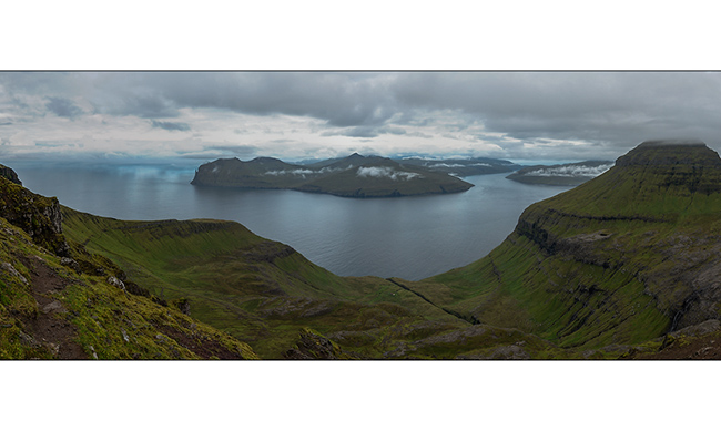
Faroes (I)
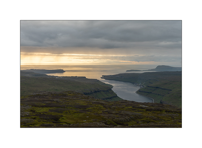
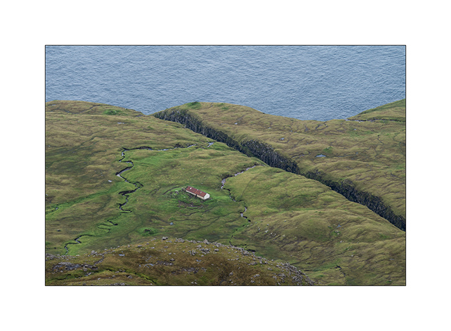
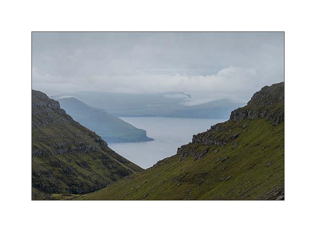
Having taken the boat from Hirtshals to Iceland, I decided to stop for three days to discover the Faroe Islands that attracted me for a long time. As I write this update from a small lost village, in the pouring rain, and don’t regret my choice. These islands are really beautiful, sheep heaths as far as the eye can see. In fact, there are only a few tens ofinches of humus on the substrate, sometimes basalt, sometimes black stone. The habitat is made of small villages of multicolored wooden houses scattered along the coast and located where there was an option of docking since it’s the Vikings who are the oldest colonizers of these islands. Here are some first pictures of VivaLaVida’s journey.
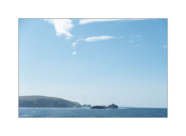
1. Before landing to the Faroe Islands, the ferry passed by the extreme Northern tip of the Shetland Islands.
2. While VivaLaVida landed at night, a small walk from my camping spot makes me discover an impressive panorama!
3. The day is announced dry and with some sun. Is it it coming from the South ?
4. Sheep stable…
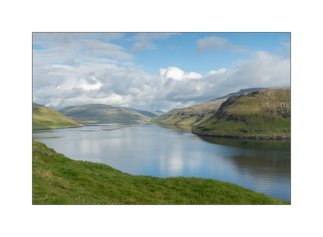
5. Each island is separated from its neighbor by one or more fjords.
6. Mix of rocks and mosses…
7. And here is the sun coming!
8. Going towards Saksund, VivaLaVida is driving along a fjord.
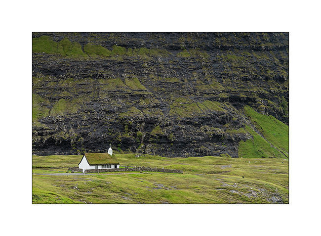
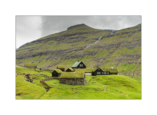
9. Saksund is a tiny hamlet, one of the first built on the main island, and still has several traditional very old houses.

10. Its old church.
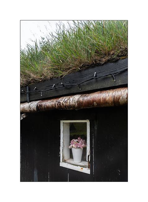
11. Specialty of these Northern countries, the roofs covered with moss and grass.
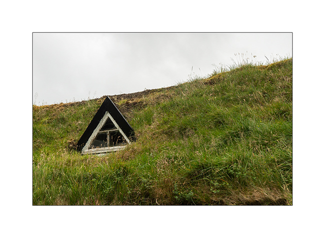
12. Window…
13. The village.
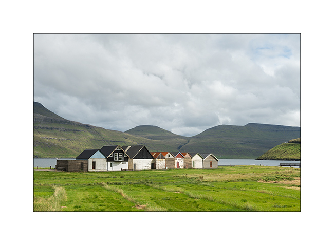
14. Boat garages a bit further along a fjord.
I will continue in a future update, just to avoid indigestion… 😉
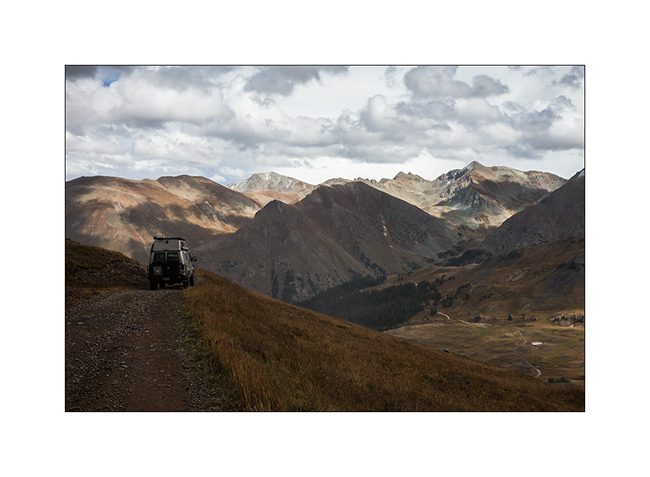
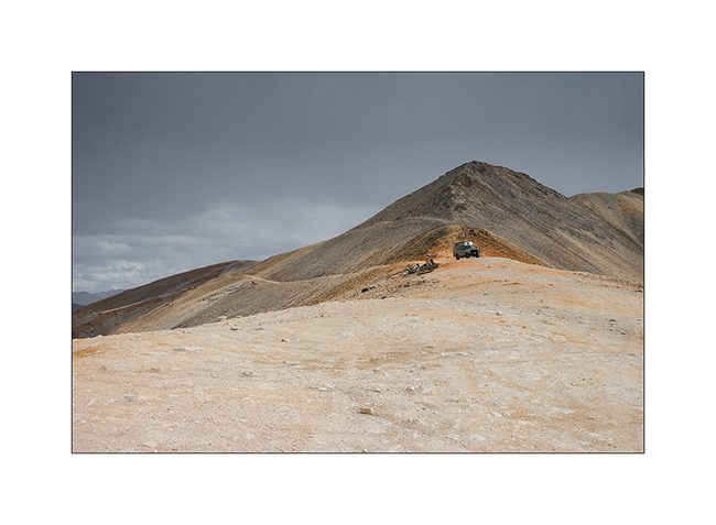
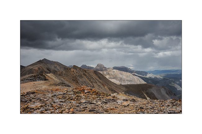
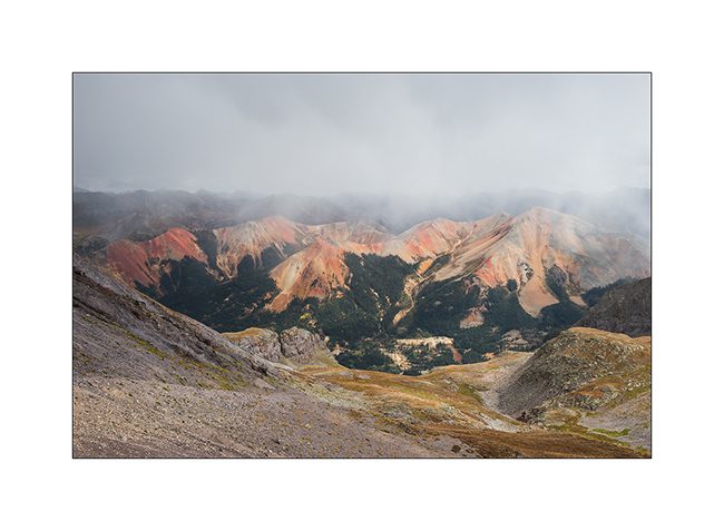
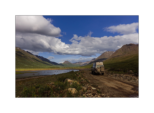
Alpine loop…
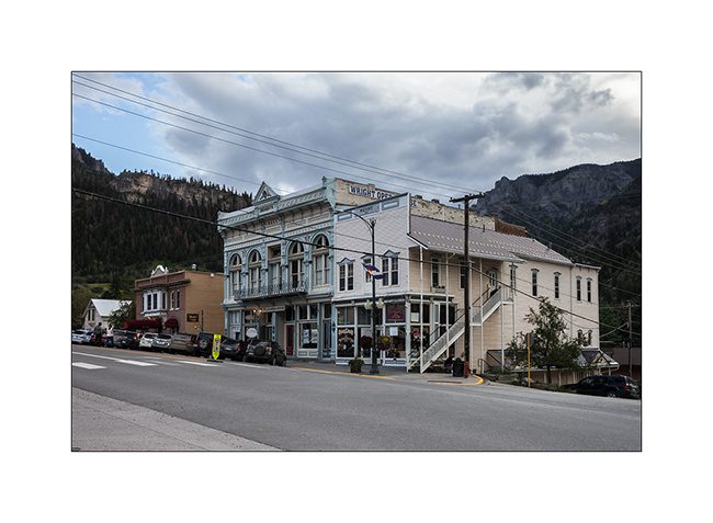
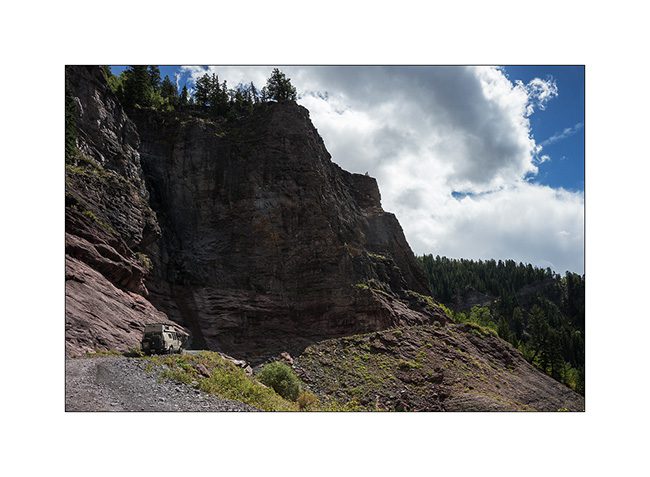
Imogene Pass is by far not the only track traced in these mountains. I went through Ouray buy some fresh food before traveling part of the Alpine Loop, a track that some Jeep enthusiasts love to discover.
1. In Ouray even more than in Telluride, we believe to be a century ago!
2. The opera building.
3. Red Mountains which are aptly named, since my camp.
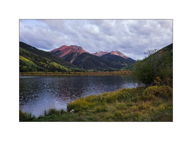
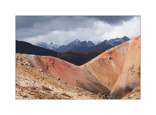
4. The next day, VivaLaVida begins by Gray Copper Gulch roa, amid the Red Mountains.
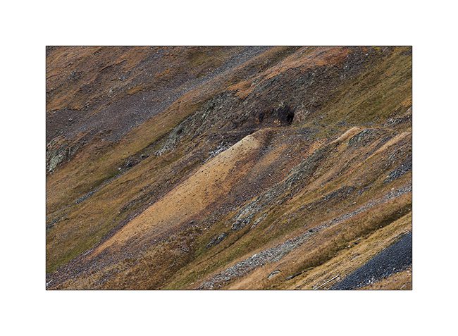
5. It’s color of the iron oxide which obviously gave their name to these mountains.
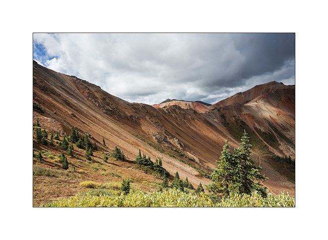
6. Colors are awesome!
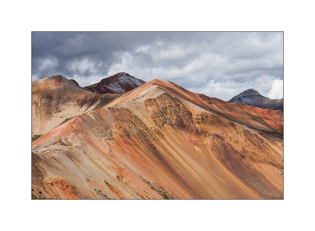
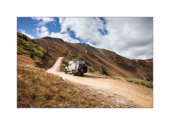
7. While on the nearby mountains, the iron ore concentration is not as important.
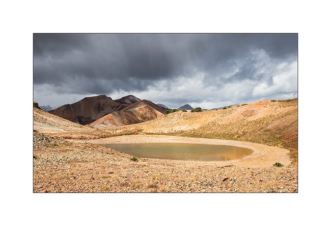
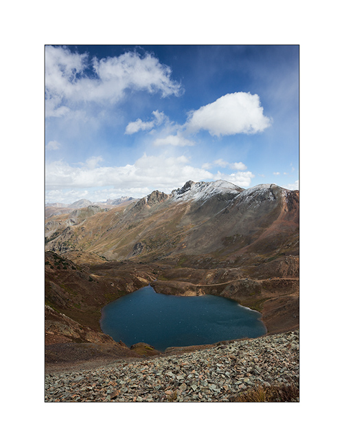
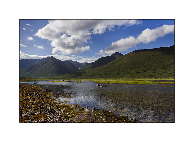
8. At the first pass (12,400 feet), a small lake…
9. A little further, another cad and peaks powdered with snow of the night.
10. Lake Como, the larger of the area.
11. VLV cashes altitude unflinchingly.
12. Snow shower at 12,700 feet, over California Pass.
13. Downhill on the other side while the shower goes away.
14. I left VLV a few hours to walk to a swampy area.
15. Altitude bogs…
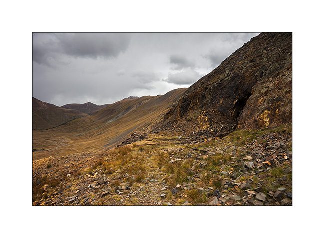
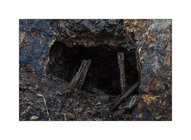
16. Everywhere, mining relics leave their trace. Here, a typical mine with tongue extracts waste.
17. entrance of Silver Queen Mine…
18. All were closed to prevent accident.
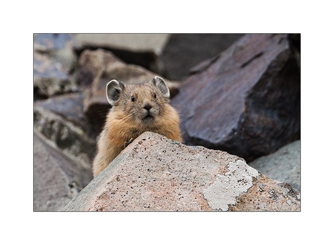
19. Nice surprise: I could finally capture the portrait of an adorable pika, so lively that it’s almost impossible to photograph.
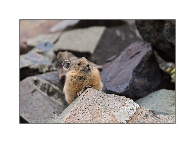
20. It lives in screes and it sneaks in full speed.
21. New snow shower.
22. Small alpine lake.
23. Downhill into the next valley. I only saw two Jeeps that day…
nbsp;
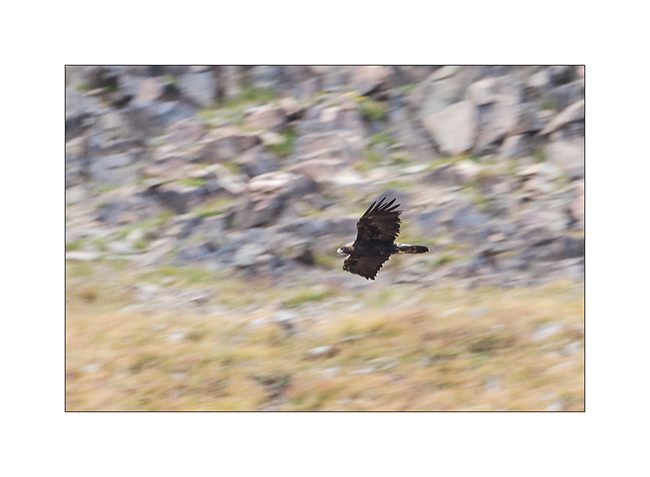
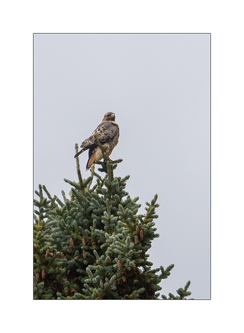
24. For my brother and just as testimony because the picture is very bad: a golden eagle.
25. Another raptor that I have not positively identified.
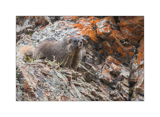
26. There is plenty of marmots..!
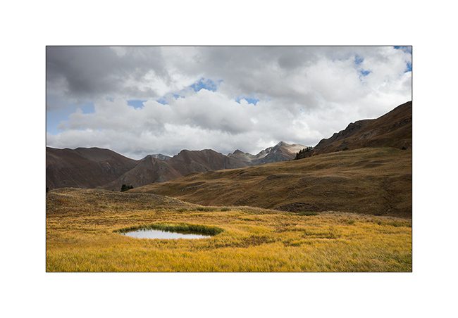
27. Alpine biotope.
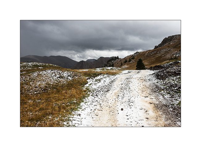
28. Within minutes, the track is covered with hail…
Well, following the Alpine Loop in the next update, hoping not to bore you with all these alpine tundra images…
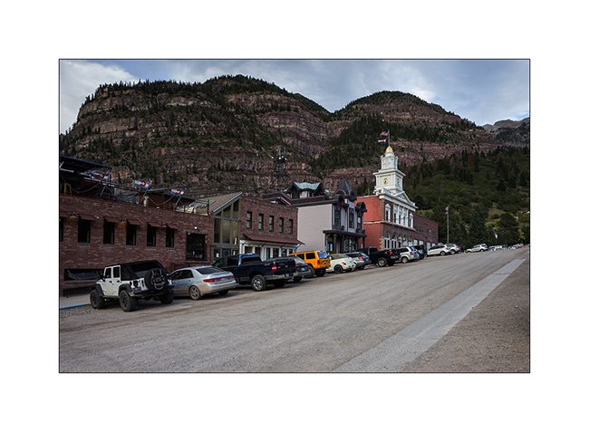
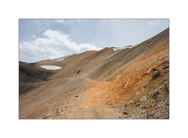
Telluride and its mountains
Less than 200 miles away from Moab, landscape is fully different.
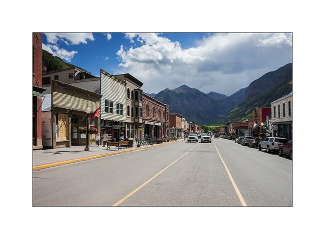
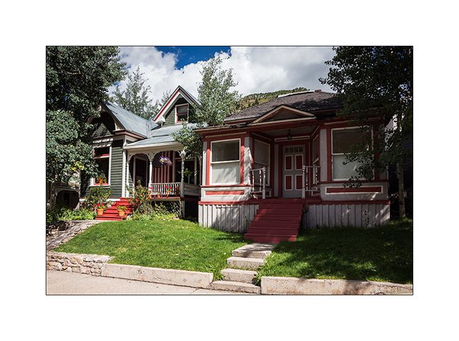
1. Telluride, small mining town founded around 1870.
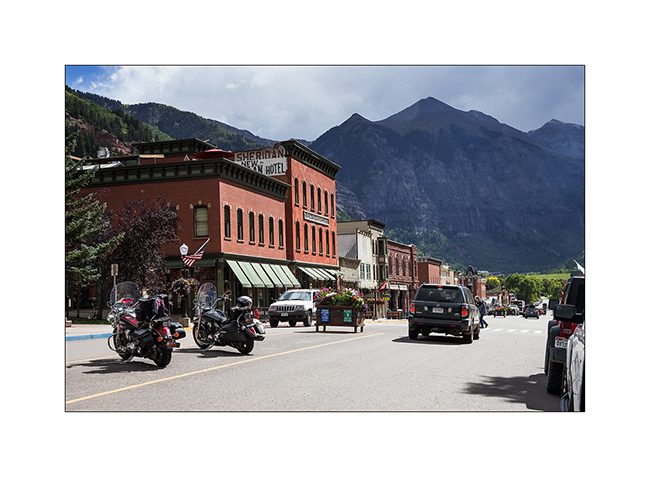
2. Most of the buildings are original and façades are maintained around what they looked like then.
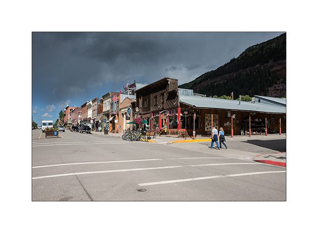
3. Main street.
4. In the side streets, small miners houses have become prized.
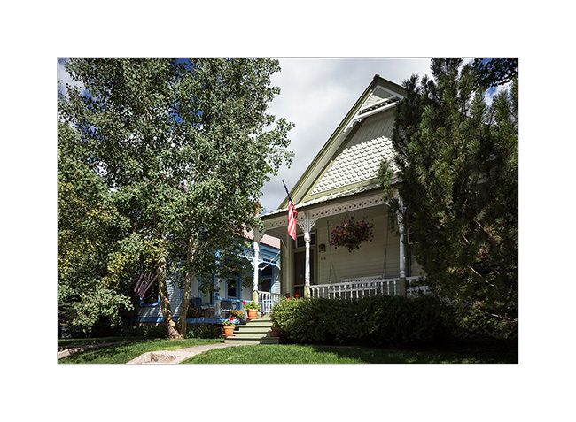
5. They are jealously kept in owning families.
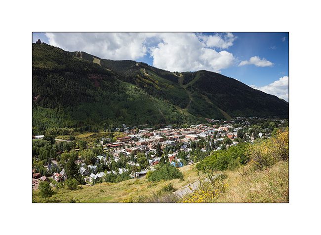
6. Overview of the city that became famous ski resort, while VLV starts the track that will lead her to Imogene Pass.
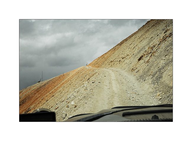
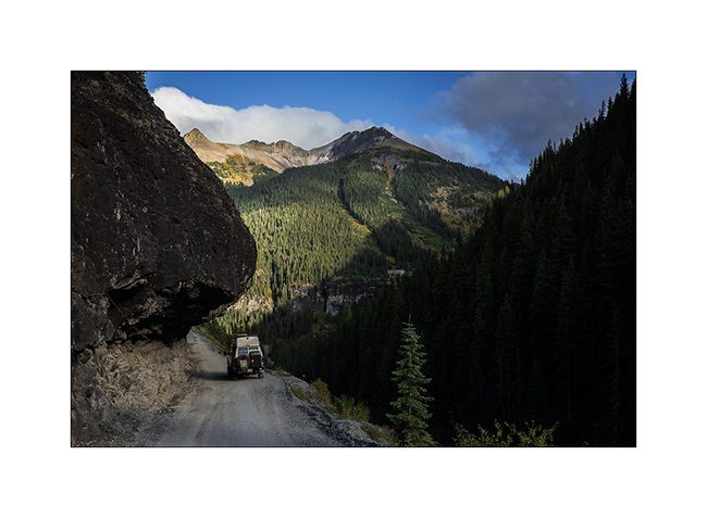
7. Another example ofwhat was created by the gold fever: a carved into the cliff road that crosses a pass at over 13’000 feet above sea level, not less!
8. VivaLaVida sometimes seemed well wide on the narrow track. Would recommend as therapy for people suffering from vertigo..!
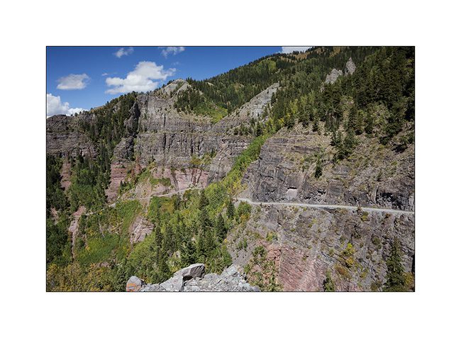
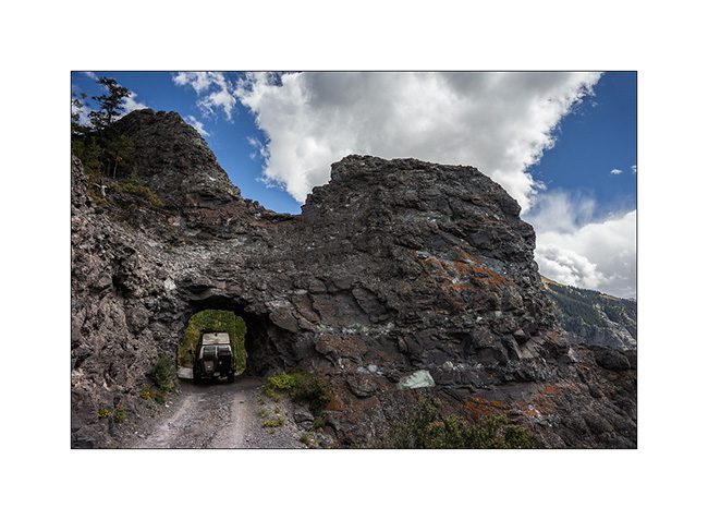
9. There is even a small tunnel to cross a rocky outcrop.
10. The road rises amid the still green aspens.
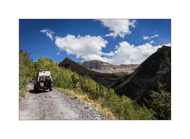
11. The tree limit stands between 9,500 and 10,800 feet elevation here.
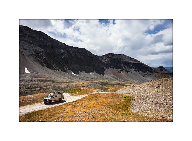
12. The mountain is gorgeous with alpine tundra and large screes.
13. The rise is endless but VLV climb valiantly despite the altitude.
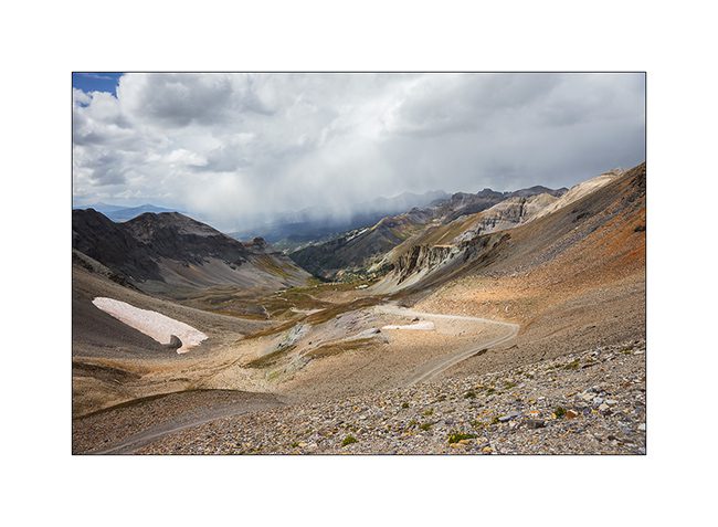
14. The last section is cutted in a 45° scree.
15. And here is the pass!
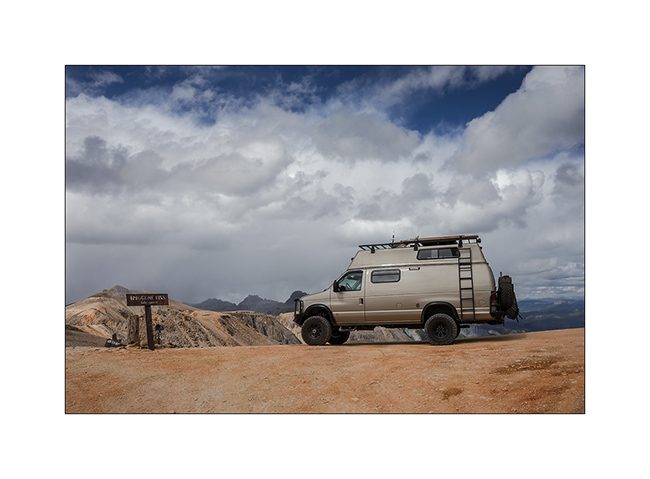
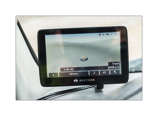
16. Altitude is on the GPS: 4029 meters or 13,218 feet! Impressive!
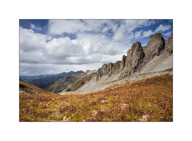
17. There are no more than loose stones up there.
18. Clouds arrived…

19. Mineral oxides are ubiquitous, coloring the mountains…
20. The trail near the pass.
21. Red Mountains through which VLV will sneak tomorrow.
22. Snow showers changing landscape…
23. Constrasts…
24. Mineral desert…
25. Down the other side.
26. The track is not of every rest but nothing to stop VLV!
27. Last section before the arrival in Ouray, another small mining town to discover in the next update.
Sorry for the long update, follow of the journey in a few days. 😉
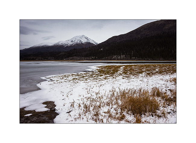
Nahanni Range (still in Yukon)
Discover of the second mining road built to access the Canjum Mine, another tungsten mine still active. The Nahanni Range Road, the road that crosses the mountain range of the same name, is much better maintained than the North Canol Road since trucks are borrowing it regularly to supply the miners and take down the tungesten. Yet, at taht time, the activities have stoped for the winter and hunting season is over, so the place was also completely deserted when I was there.
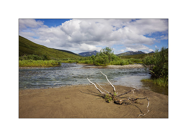
1. Nice river…

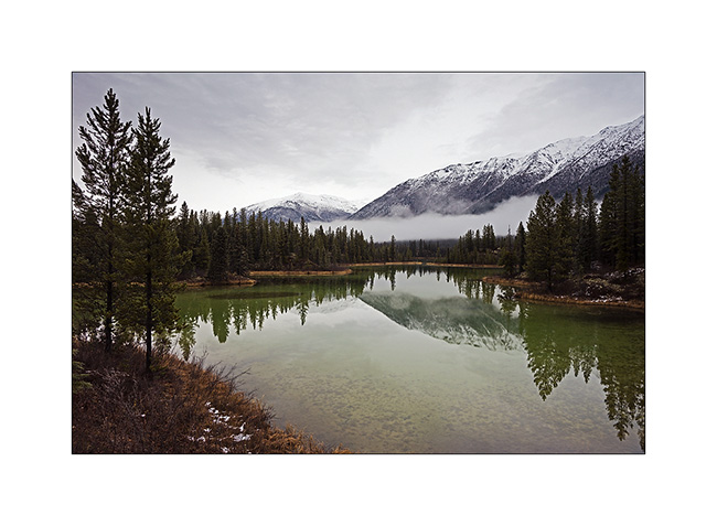
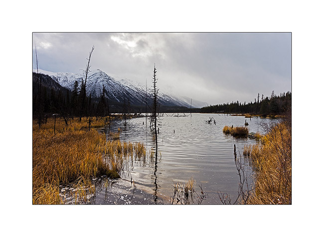
2. A beautiful small green lake that contrasts with the whiteness of the surrounding peaks.
3. VivaLaVida approaches the mountains of the Nahanni Range.
4. I found similar atmospheres to those of the North Canol, about 200 miles to the North.
5. The warm tones of the last willow leaves and marsh grasses will soon be covered by winter…
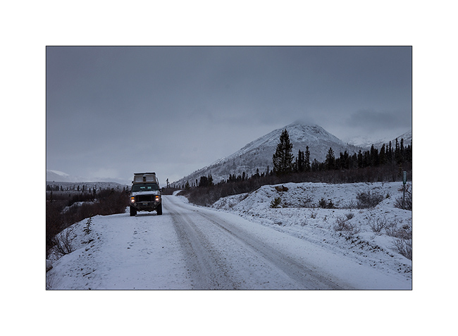
6. VivaLaVida approaches the pass where is the border with the Northwest Territories again, to almost 5,000 feet above sea level on a trail made very muddy and slippery by snow flurries which succeed.
7. On the other side of the pass, mountains look sharper…
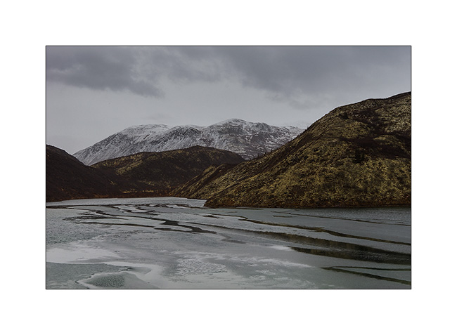
8. … and lakes are already almost completely frozen. We feel that it’s colder here…
9. Small lake just under the summit.
10. The weather starts to snow again while I go hiking to the bottom of the valley.

11. Lichens are everywhere, beautiful and really thick in places.
12. In five minutes, I’ll be in the snow flakes. Seeing nothing anymore, I will have to give up and walk back to VLV, about 4 miles away…
I have also not been able to leave that night, the snowfall turning into real storm by a strong blizzard, depriving me of any visibility. So I slept there, snug in VivaLaVida and without the fear of getting stuck as on the Canol Road.
13. Got up early the next day to discover fantastic colors at dawn, in a true winter atmosphere…
14. The valley where I was hiking when I had to give up yesterday…
15. Sunray on the opposite side.
16. Probably more than two foot of fresh powder blanked the peaks…
17. … while it blew so much on VLV that there is only about 4 inches around.

18. Going down towards civilization…
19. … a road in winter conditions.
20. Sometimes some rays sneakly break through the clouds…
21. … before a new snow shower. Here, the small lake of yesterday has changed its face…
That concludes my stay in the Yukon Territory that I loved as much as Alaska. Much less touristy but with the same variety of landscapes and wildlife, they have another thing in common: the lack of access roads to a large part of their lands, making them difficult to reach. One thing is certain: if I have the opportunity, I will come back… 😉
VivaLaVida then proceeded South via the Cassiar Highway rather than the Alaska Highway which we drove up North. Obviously with some detours that I will count you soon.
Thank you for your loyalty over and over again … And feel free to share the address of this blog or my FB page “Vivalavida Photography” with friends or acquaintances, they are welcome. 🙂
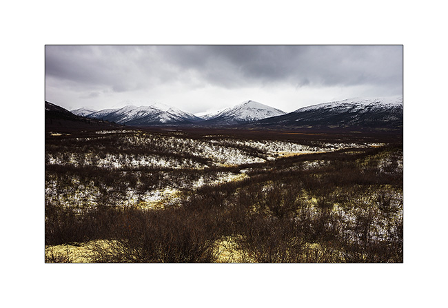
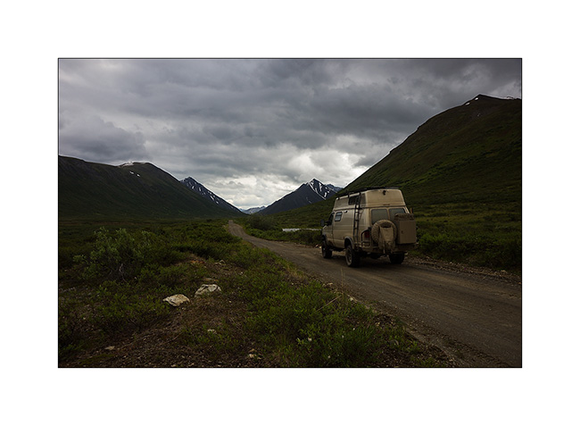
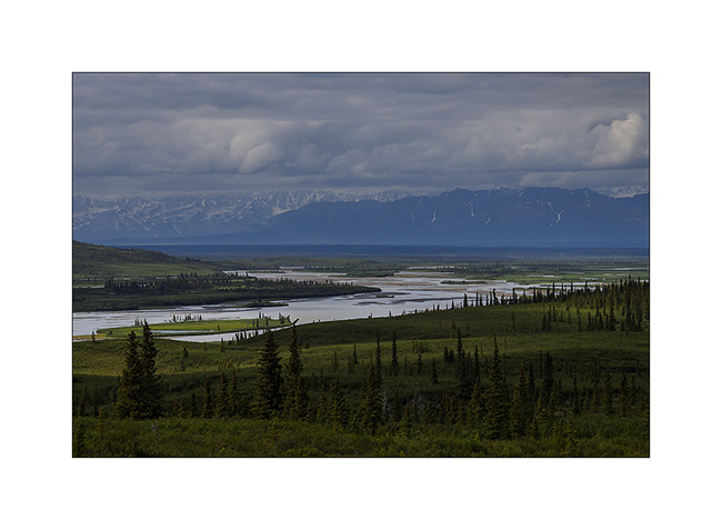
Clearwater Mountains (Alaska)
As in Yukon, there are very few roads in Alaska. Planing to visit Denali National Park after the arrival of Mino who will travel with me some weeka since August 6th, I drove the Denali Highway that connects Cantwell to Paxson. From there, I could access the Clearwater Range, accessible through two long and bumpy old mining roads.
1. The tree limit is still at about 2,200 feet elevation here, over it’s the tundra with many lakes and ponds…
2. But there is life despite the hard climate…
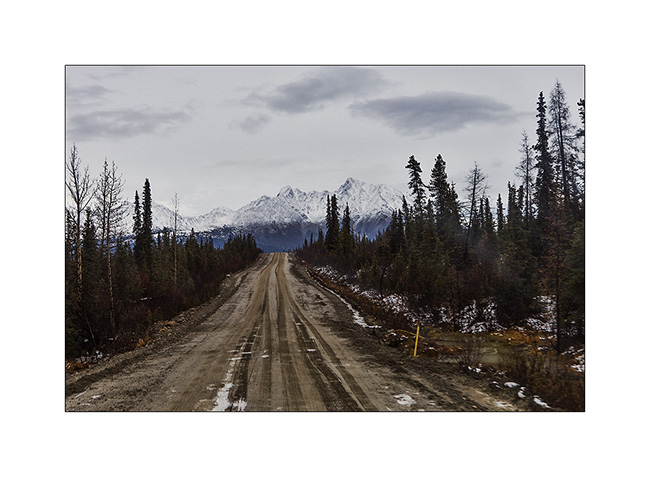
3. Denali Highway.
4. Taïga…
5. VLV plunges in the mountains on an old mining track.
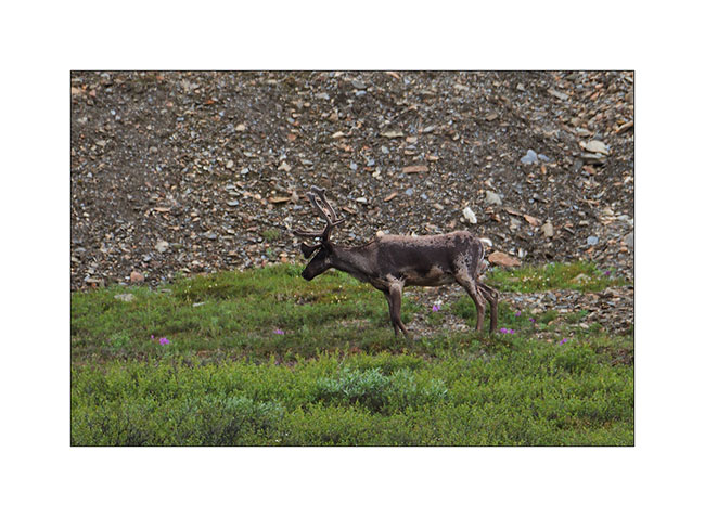
6. Caribou in full moult, to far unfortunately.
7. Yes, it is there I’m going! 😀
8. Mosses and lichens sometimes have bright colors.
9. The sky is quite heavy by time…
10. … but sometimes some rays pierce.
11. Rivers are beautiful…
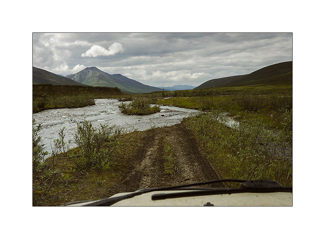
12. … but sometimes overflow!
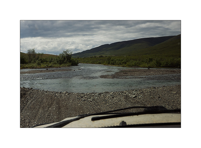
13. VLV will travel more than 500 yards without seeing where he puts the wheels ..! 😀 And will wet the bumper as some places were quite deep…
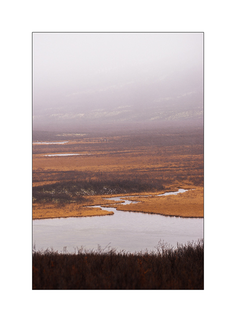
14. Meanders in the plain…
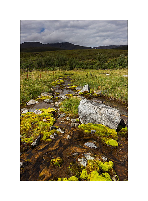
15. Above, the river forms splendid marsh.
16. And I’m Lucky to get some light…
17. Late afternoon atmosphere near de small pass where I slept.
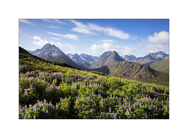
18. Lupines in early morning light…
19. This valley end is really gorgeous.
Vivalavida then left the Clearwater Range and went further on Denali Highway to the east. Coming Soon…
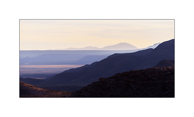
Last update in Texas
As I’m quite late relating the trip of VivaLaVida, I already post a new update…
Leaving the Big Bend area, I went back quietly to the Northwest, taking the path of Southern California where I had to join Andrew for our trip to Baja.
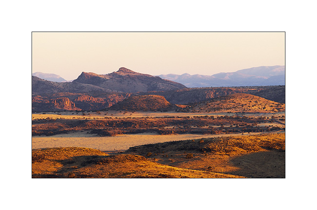
So I went to the Guadaloupe Mountains, an interesting mountain range. However, I stopped several times on the road, this time to Watch a beautiful sunset on the Texas plains…
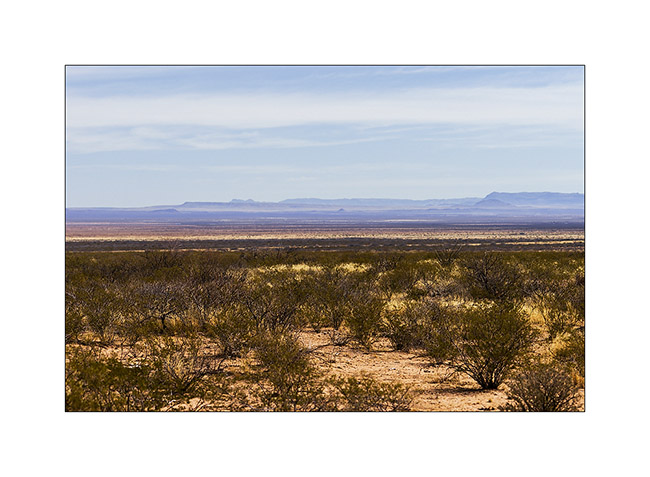
1. Huge and rather dry pastures…
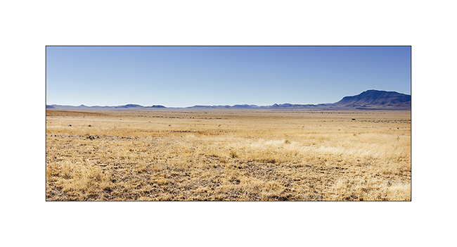
2. Soft light at sunset…

3. … on these endless plains…
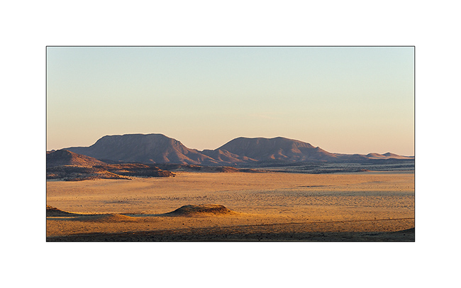
4. … that adorn some rocky hills to counter the monotony.
5. Nice pics!
6. Small remote ranch…
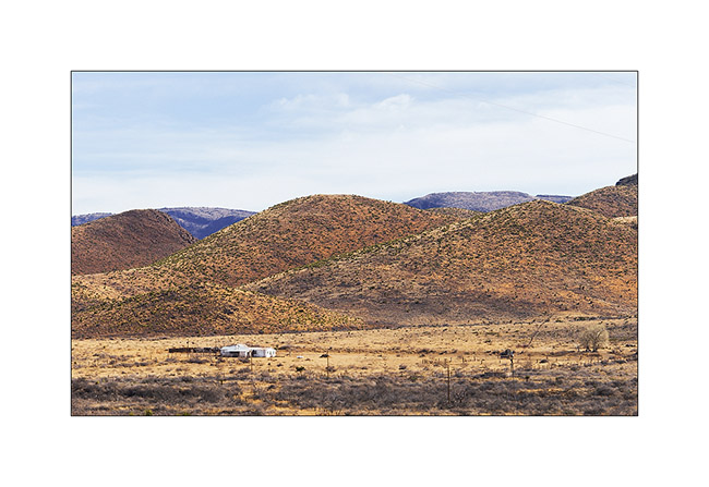
7. Western landscape…
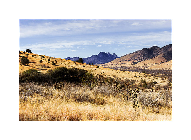
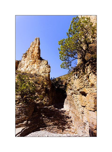
8. Natural stairs in a canyon of Guadaloupe Mountains.
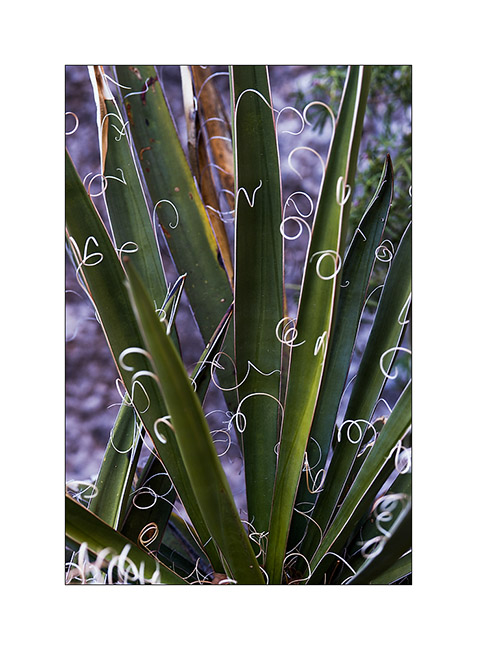
9. Vegetal elegance…
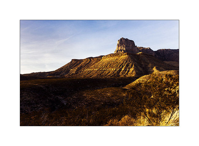
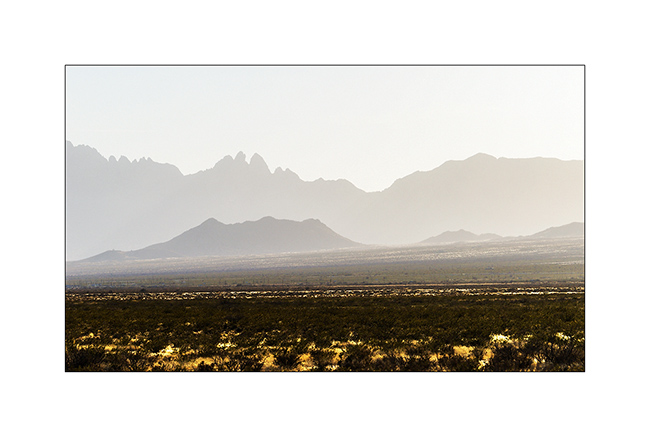
10. El Capitan (Guadaloupe Mountains) at sunset.
11. Immensity…
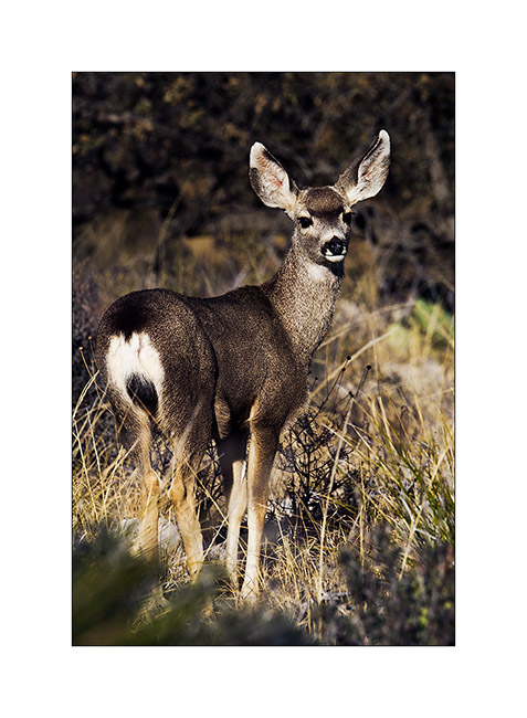
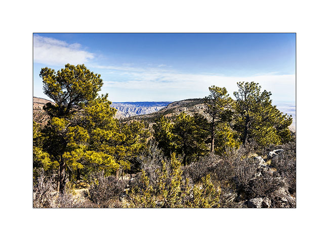
The next morning, I hiked the Guadaloupe Mountains. Mountain range over 8000 feet, it has the distinction of having a depression on top, which holds water and creates an unexpected echosysem in the desert environment.
12. A young “mule deer” at sunrise.
13. Long hike uphill…
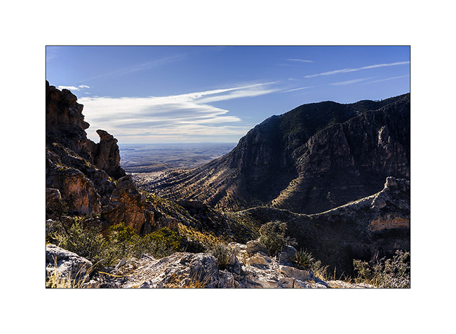
14. … forest on the summit depression.
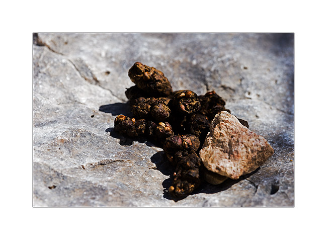
15. Yes, they are bears there! 😀
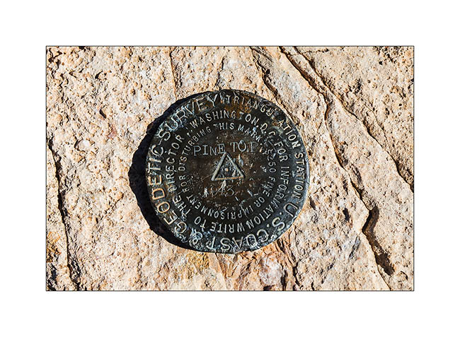
16. Mark at Pine Top summit.
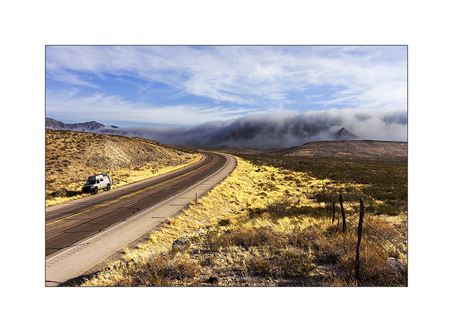
17. The next day, as I left the camp, a wave of polar air was coming. Retained by a ridge, it formed a curious fog seeming to overflow a saucepan. Beautiful but freezing!
I then headed to White Sands, an erg of white sand.
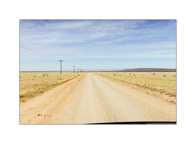
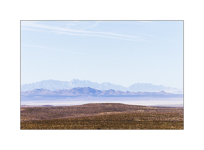
18. Good dirt road North West of Guadaloupe Mountains.
19. Still immense arid plains…
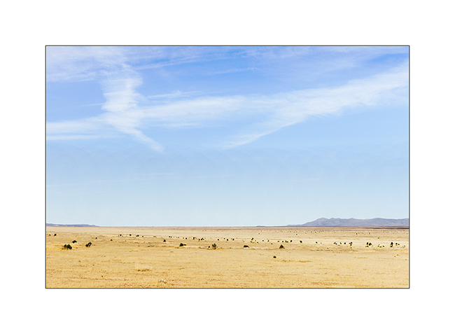
20. Distant view of the White Sands.
Once there, I had a little frustration because the site was closed. An army drone crashed there three days earlier. So I had to continue my journey toward New Mexico…
21. Late afternoon on VivaLaVida’s road…
That’s it for Texas, for now at least. I then went through New Mexico to visit two sites that I will present in the next update.