Dempster HWY @en
now browsing by tag
North Yukon : Dempster Highway
VivaLaVida then took the way of the Dempster Highway. For less than hundred miles first since I stopped to hike in the gorgeous Tumbstone Provincial Park. A place where granite peaks come out of the tundra, the only place where there is granite in Northern Yukon.
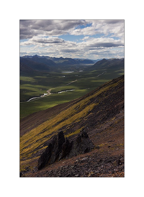
1. Ascent to Goldenside Peak. In the background, the “Dempster” like the locals say…
2. Nice bird.

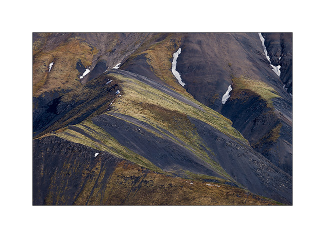
3. Some colors of the tundra reminds Iceland…
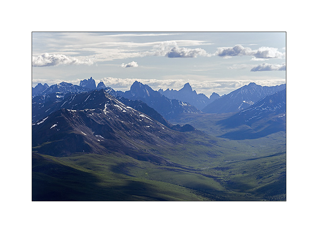
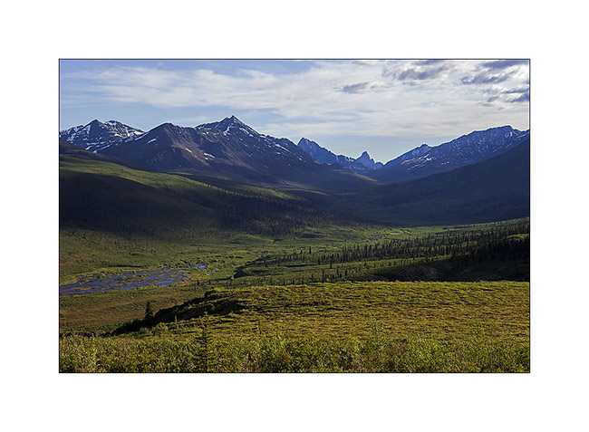
4. View of the North Klondike Valley where the Klondike River has its source. In the background, more than feeften miles away, the Tumbstone Mountain and left the Monolythe Peak.
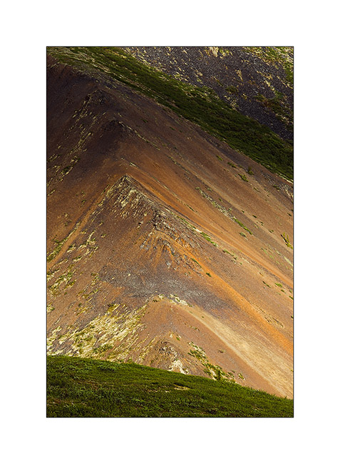
5. Erosion
6. North Klondike Valley in late afternoon
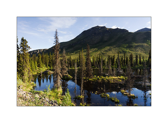
7. A small lake created by the inhabitants of the two huts down left… 😉
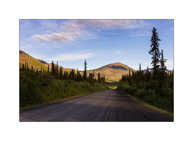
8. Dempster Highway…
The next day, I made a very long hike to see altitude glacial lakes. Starting at 7am and return at 21h after more than 19 miles and about 7,000 feet positive elevation, I was quite tired!
9. I saw several marmots endemic to this region, here probably a mam.
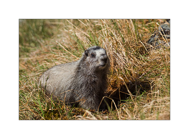
10. Here, a young rather curious!

11. After three hours of walking appears Grizzly Lake, still 4 miles away…

12. Noon just next to this beautiful lake.
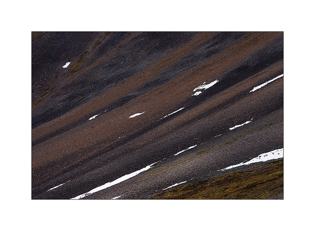
13. Continuing to climb, the first snowpatches make nice graphics in the screes.
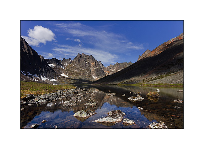
14. At almost 7,000 feet elevation, viewpoint over Monolythe Peak and Upper Twin Lake.
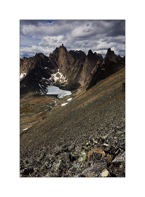
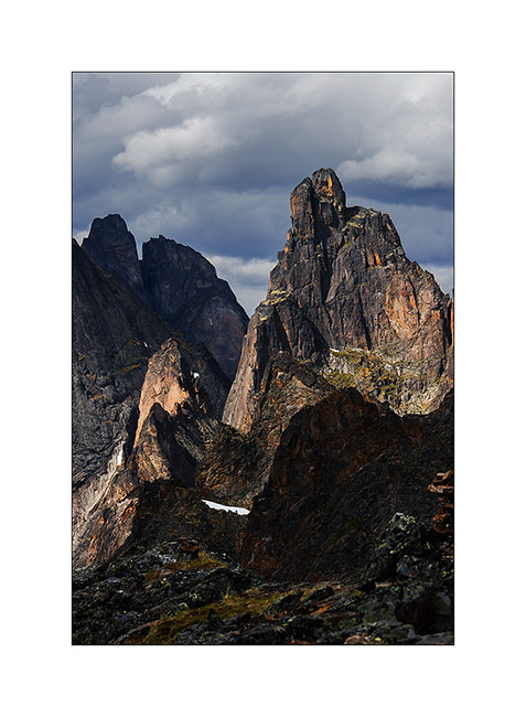
15. The granite cliffs are amazing.
Still to come on Dempster soon… 😀