Cassiar @en
now browsing by tag
Cassiar & Stewart Highways
Vivalavida will now wipe six days of almost continuous rain. Indeed, it is the rain season near the Pacific coast, I didn’t really realize it until now…
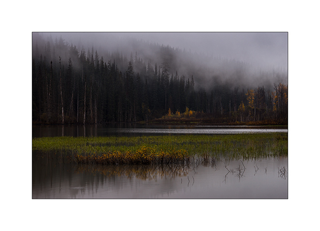
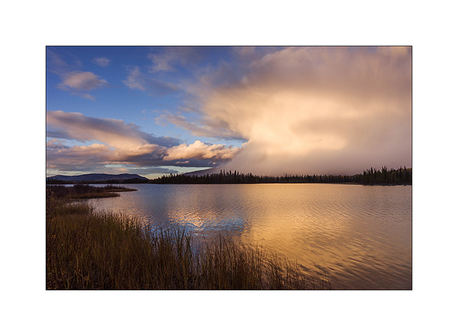
1. A pond in the myst…
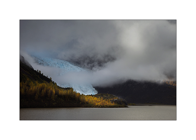
Despite the weather, I went for a detour to Stewart to try to spot some of the many glaciers in the region.
2. The “Bear Glacier”, along the Stewart HWY.
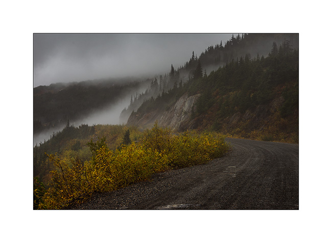
3. The mining road VivaLaVida borrowed in the rain to climb to other glaciers. Funny, we were in Alaska again for a few tens of miles without any customs as it is a dead end! 😀
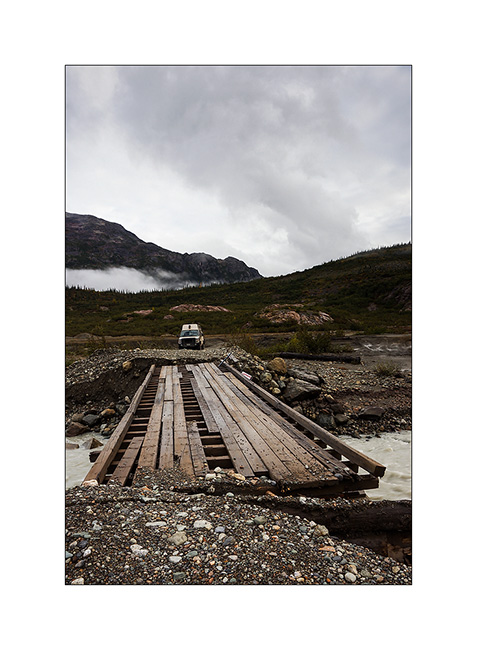
4. Oups, the road ends here for VLV! I continue riding the mountain bike…
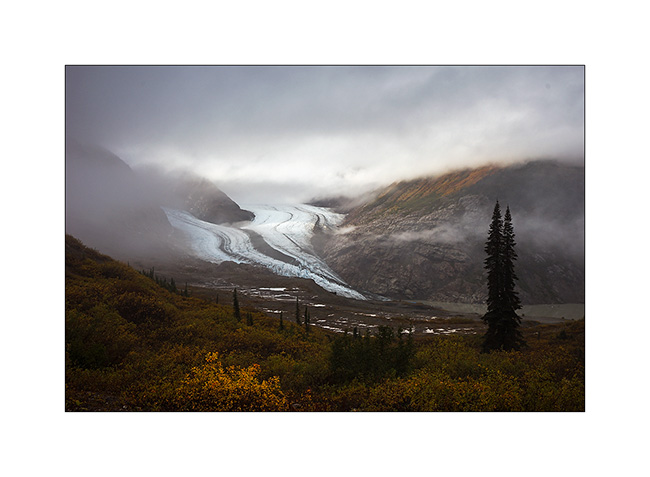
5. I’m lucky, a brief lull allows me to see the Bereton Glacier in the fog, it’s around 16:30.
6. A little later, I even have some sunlight that makes wet rock shining.
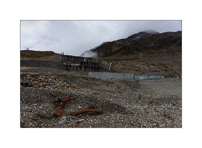
7. The road ends at this abandoned mine…
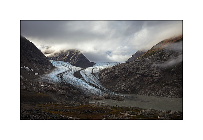
Back to VLV, I turned back to hope to see the Salmon Glacier, a huge glacier in T before night falls.
8. VLV seems very small in front of the giant!

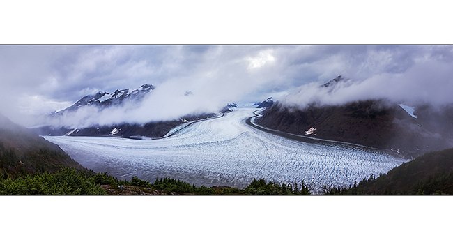
9. Panoramic to attempt to show you the northern branch. The thrust is so strong that ice is pushed several hundred yards over the mountain (bottom right).
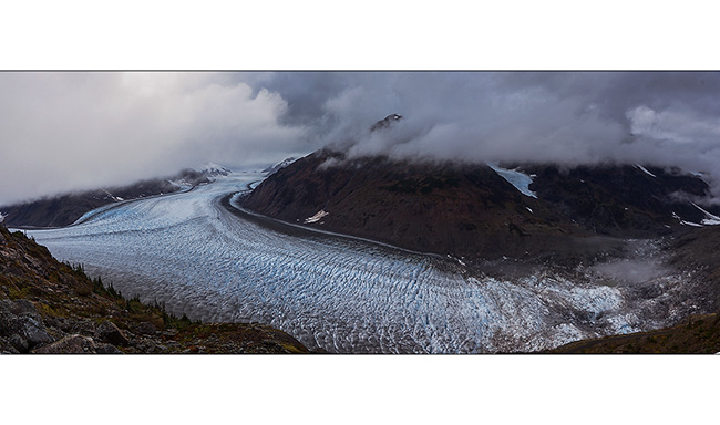
10. A second panoramic to show the immensity of the ice flow; more than 40 miles long and about 6 miles wide for its main part!
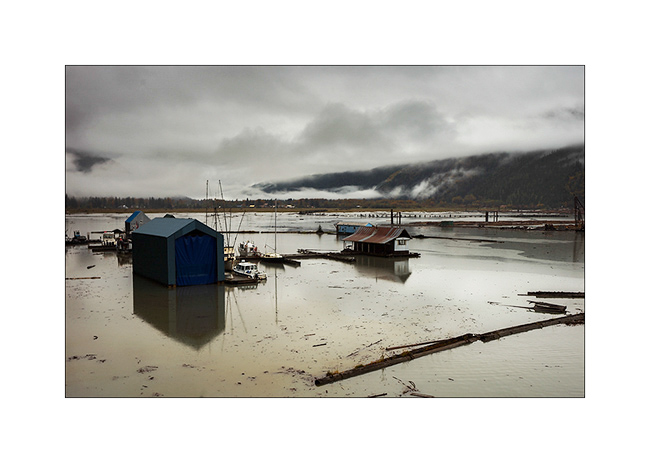
I slept on site, hoping for a better light in the morning but I woke up in a dense fog. I then went back down to Stewart…
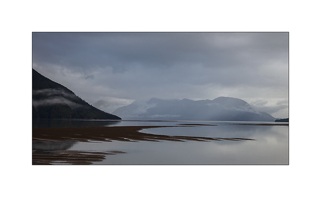
11. … here in the middle distance, behind the harbor.
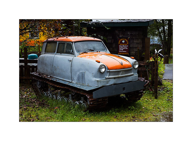
12. Seb, if there’s too much snow this winter in Arzier, I found what you need !! With that, you won’t never remain blocked! 😉 This is a Russian car which I have not been able to understand the brand.
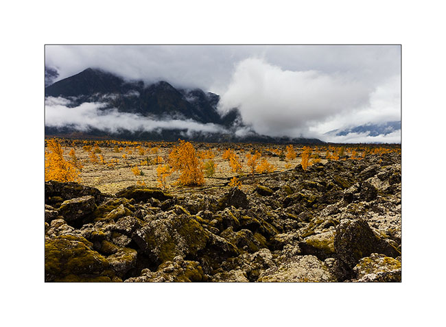
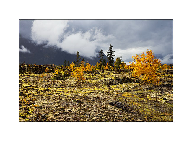
Still in the rain, I continued South with a new detour to the Nisga’a lava fields, theater of the last volcanic eruption in Canada, about 300 years ago. 2,000 Indians were killed, several villages have been swallowed up. The melt is more than 20 miles long and deflected a big river from several miles.
13. The only bright spot of the day on VivaLaVida’s way and still in the rain.
14. Rainy inlet the next day…
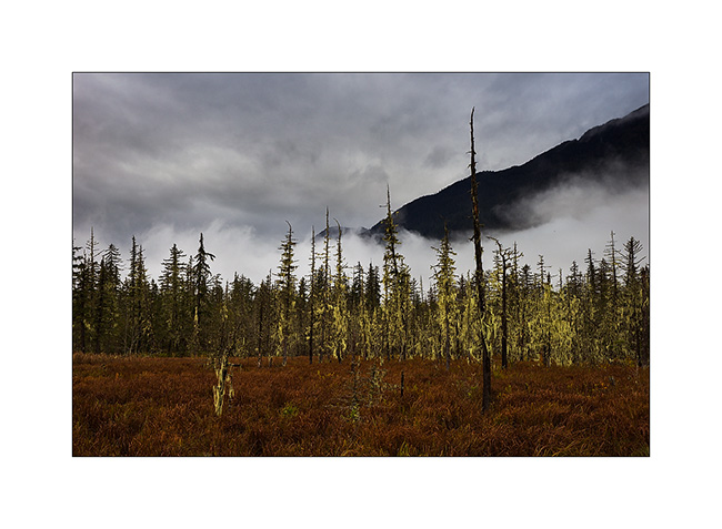
15. Marsesh where lichen took possession of the dead trees. Nice atmosphere, isn’t it? We could see one or two trolls showing up? 😉
16. Arrival at the lava beds, sometimes smooth as in the background, sometimes chaotic. They reach more than 45 feet thick in places.
17. Crack…
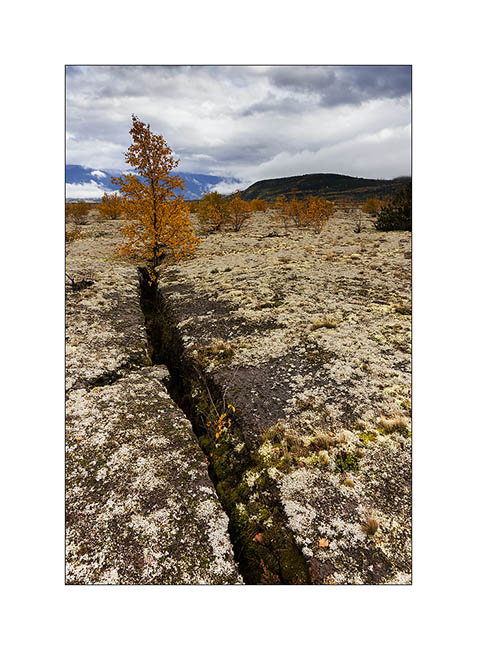
18. Few trees were able to grow in this young and barren rock.
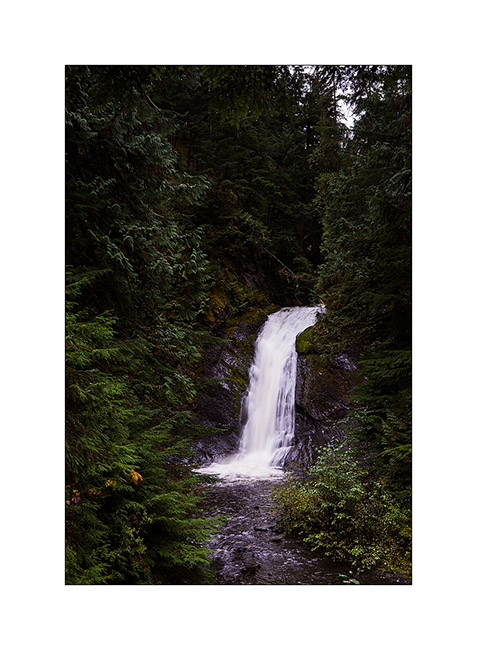
19. A small cascade which drains a lake, also created by the lava flow.
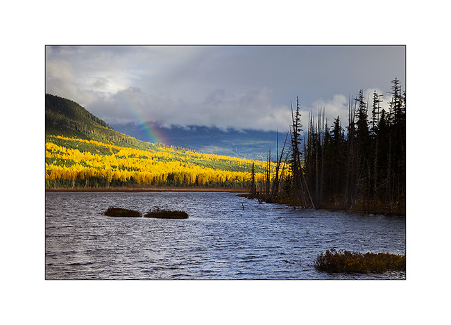
20. Small rainbow as VLV continues heading South.
Continuation of the descent of British Columbia in the next update.
Cassiar Highway
VivaLaVida has left the Yukon and began his journey across British Columbia toward South.
1. First night in BC on the lovely little Boya Lake.
2. A few minutes ago, I was in this beautiful snow shower!
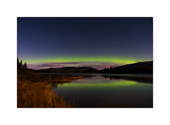
3. Best of all, as a goodbye from the Yukon on which she extends, this beautiful northern light was offered to my eyes as the full moon lit up the shores of the lake.
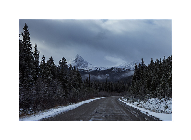
4. The Cassiar Highway isn’t in really good state and snowshowers continue the next day…
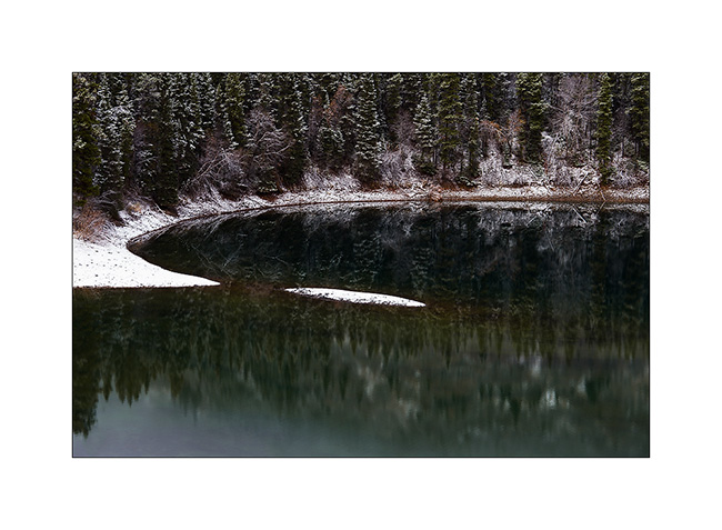
5. Graphism of the snow on this lake.
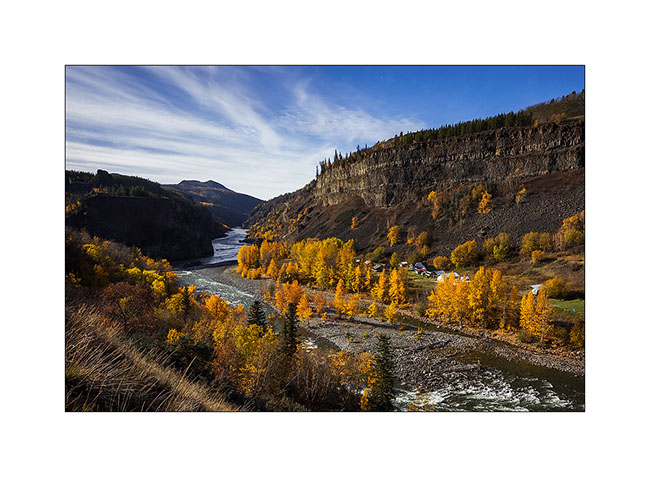
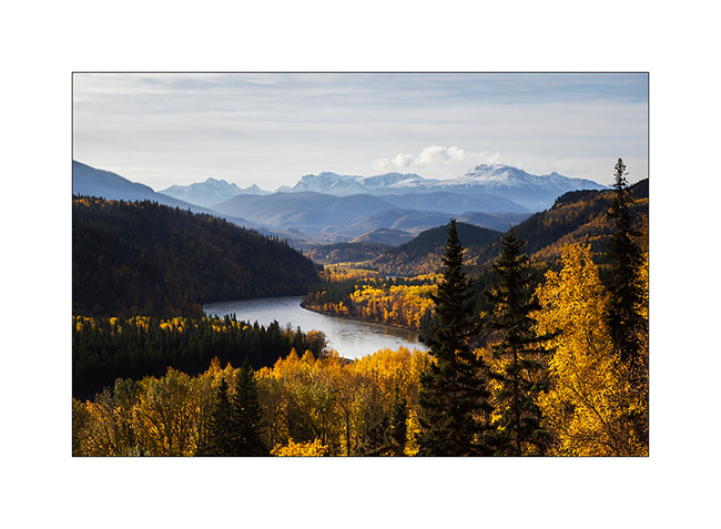
First detour to discover the valley that leads to Telegraph Creek, a samll village. This valley is the lower valley of the Stikine River, a mighty river that carves its canyon through layers of basalt before emptying into the Pacific Ocean.
6. Confluence of Tahltan and Stikine rivers, with the summer camp of Tahltan Indians. They spend three months there to catch salmons migrating upstream these rivers.
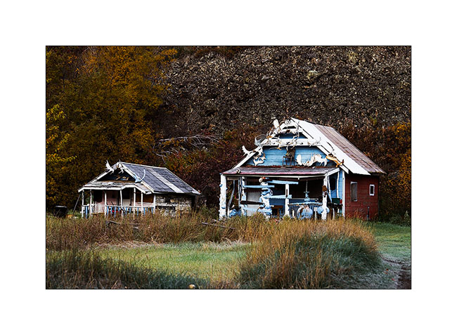
7. Tahltan cabins.
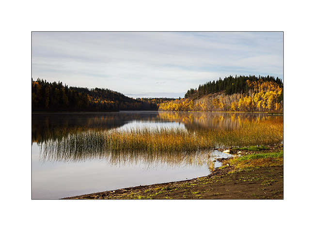
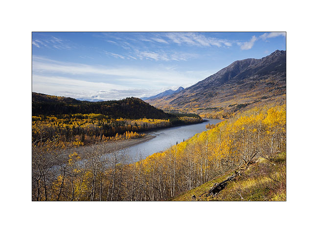
8. Almost at the end of the road, after Telegraph Creek, there is a nice small lake…
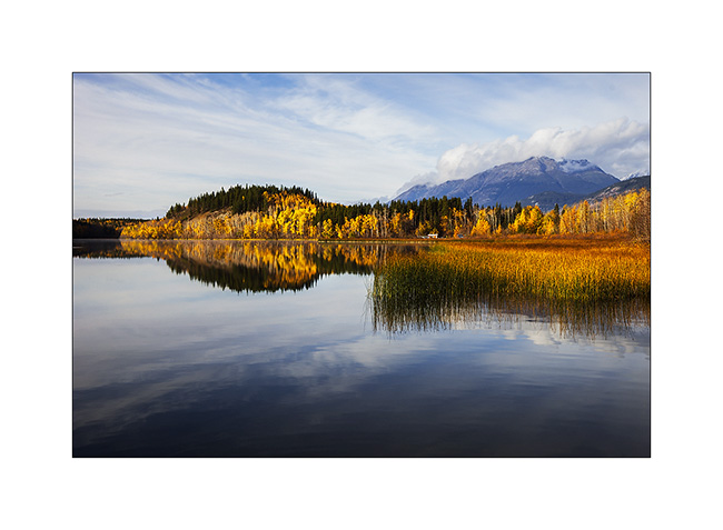
9. … dressed in the colors of autumn that I found back in these warmer latitudes.
10. The Stikine River, powerfull and gorgious…
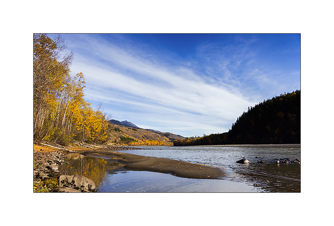
11. … which flows to the Pacific, just behind the distant mountains.
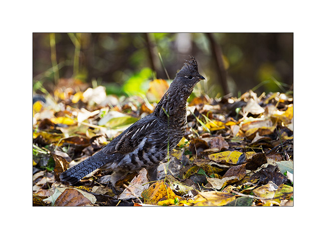
12. It’s the high season for parades of ruffed grouse!
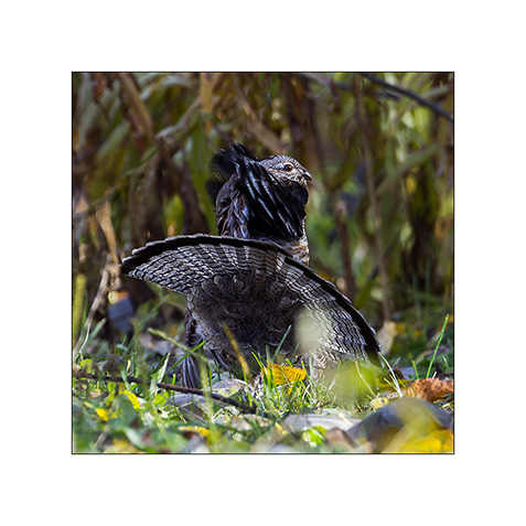
13. This guy don’t care my presence and runs to the female across the road.
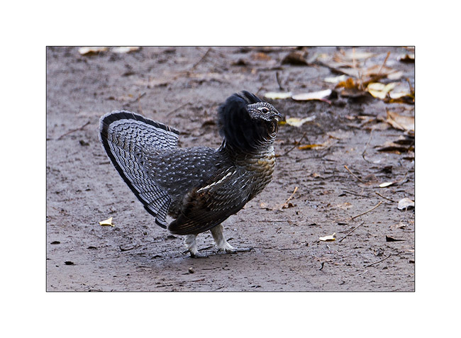
14.Here is one of the coveted female.
15. The road ends here. I hoped to continue on foot but the bad weather forecast for the coming week have made me give up to spend the night here and hike the next day.
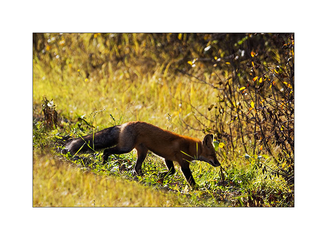
16. He was sitting in the middle of the road and went away quietly…
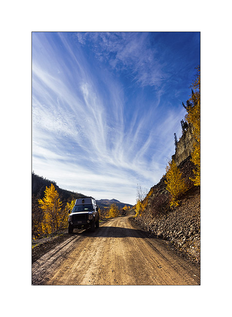
17. VivaLaVida in the Stikine River canyon.
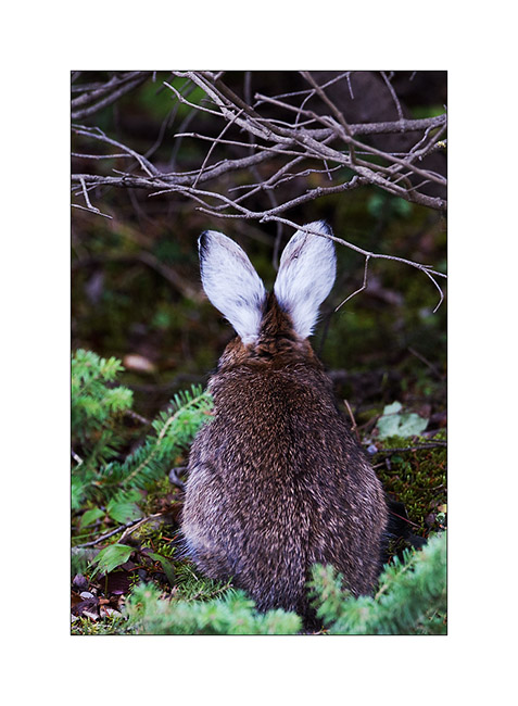
18. And to complete this update, a “snowshoe” hare whose lower legs and ears remain white all summer. This is the main food of the lynx and red fox and as its population has an unchanging cycle of ten years where it almost disappears, predators must rely on squirrels and other small rodents, seeing their population also drastically reducing. It seems that the cycle of snowshoe is from a genetic cause, in part at least…
So much for today! The next miles of VLV to South to come in a few days… 😉