Big Bend @en
now browsing by tag
Big Bend National Park (4) : Chisos Mountains
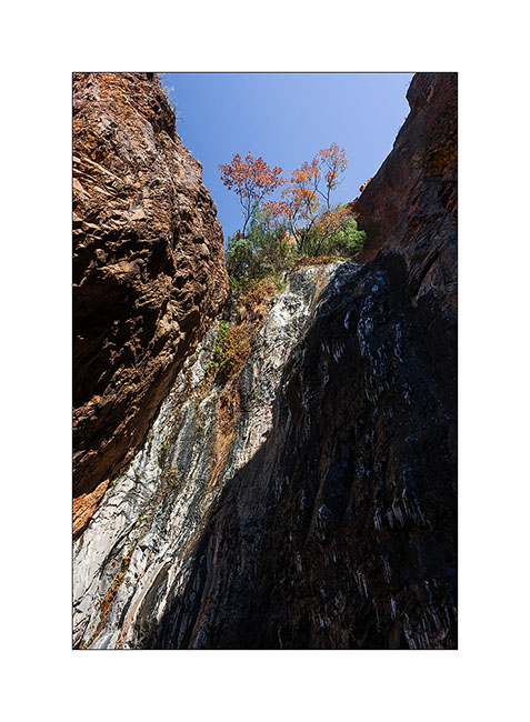
After Pine Canyon, I went to discover the only permanent waterfall in this region, Cattail Falls. It is not on the maps, the park administration seeking to preserve the particular and very sensitive habitat it creates, especially hummingbirds coming from spring to summer.
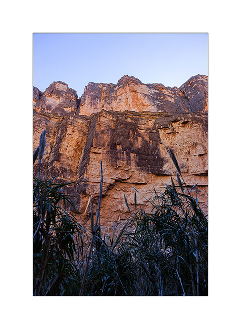
1. The small valley nestled in the foothills of Chisos Mountains.
2. The falls them selves, a thin trickle decorated of ice because of chilly temperature !
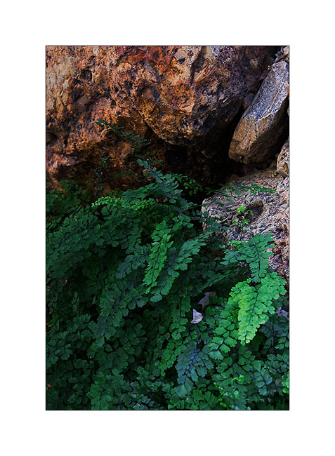
3. The freshness of the place allows unexpected plants to survive, as this fern…
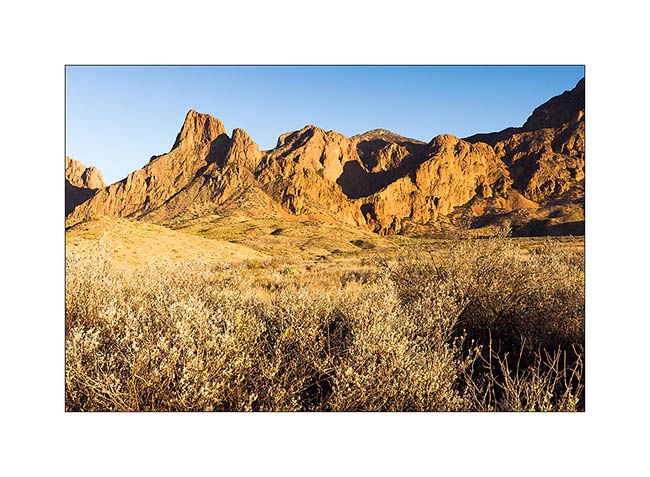
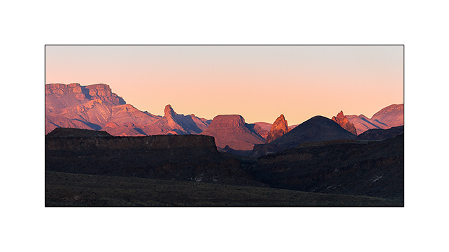
4. Sunset from Cattail Falls trail.
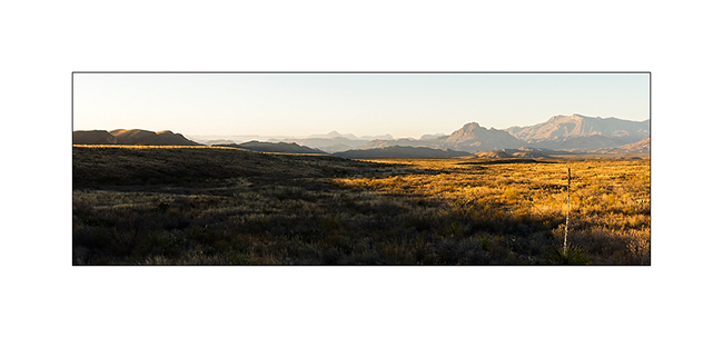
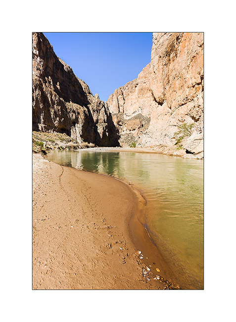
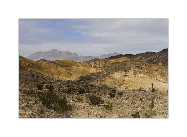
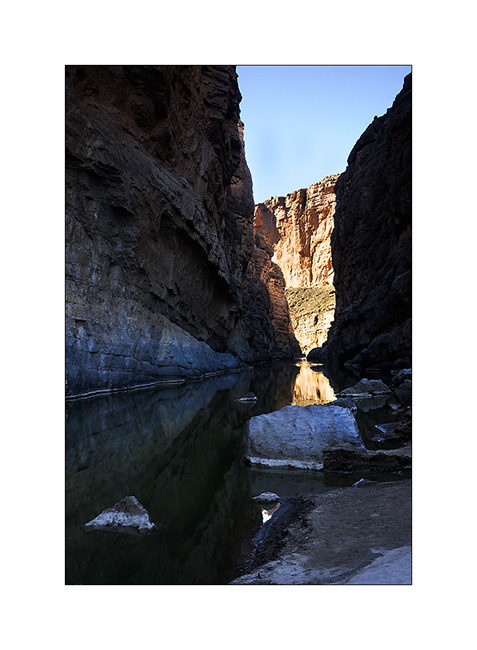
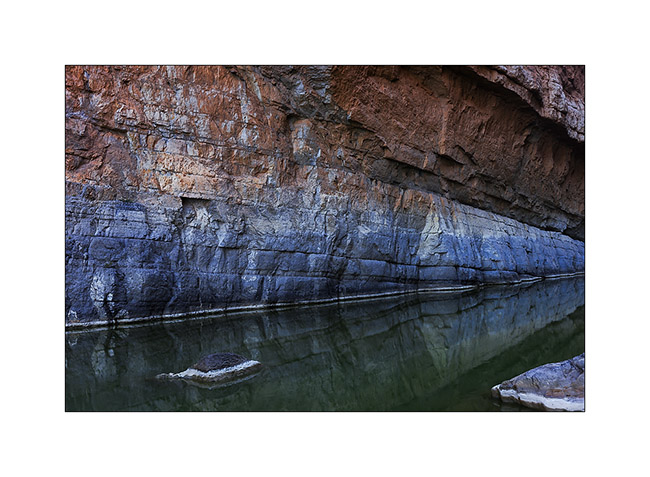
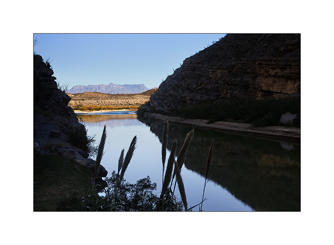
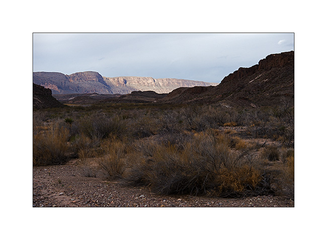
5. I then descended some forty miles to the south-east to discover the Boquillas Canyon carved by the Rio Grande.
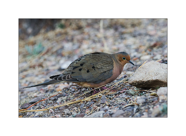
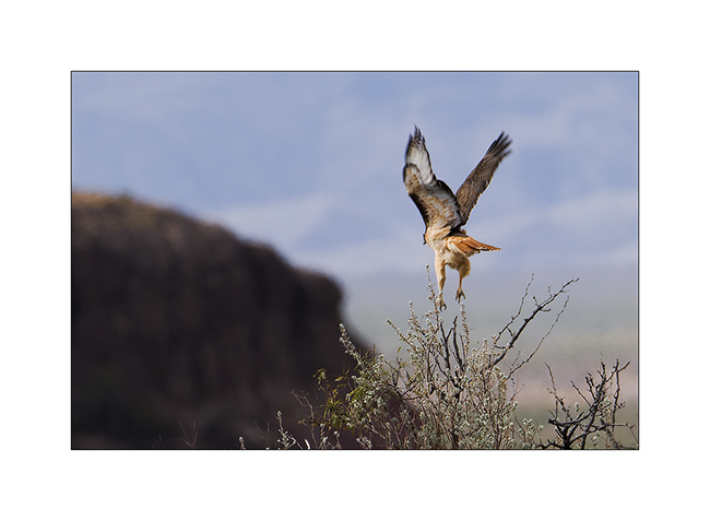
6. A dove in late afternoon.
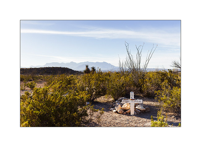
7. Tomb along the trail that goes up the east park boundary.
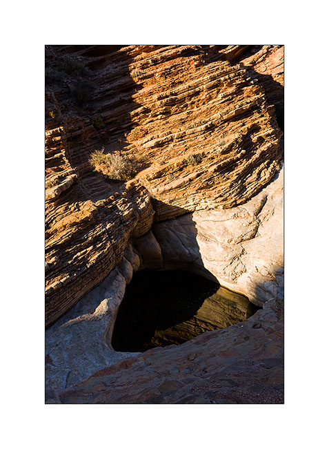
8. Hiking up the Ernst Tinaja Canyon…
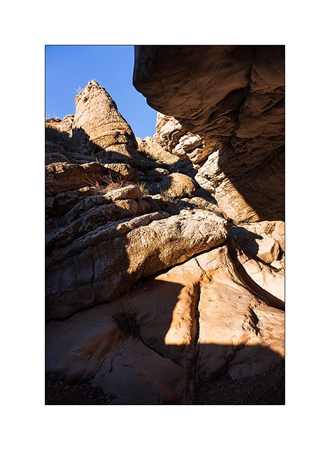
9. The Ernst Tinaja, a beautiful pot created by the floods of the wash.
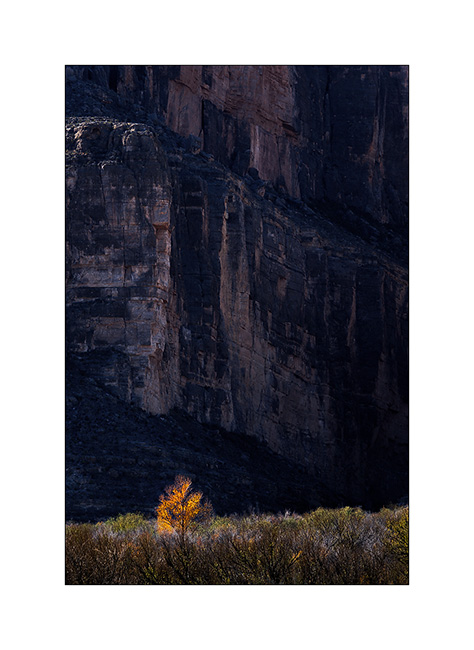
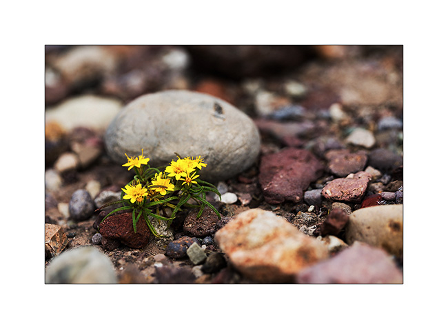
10. Last sunrays in the canyon…
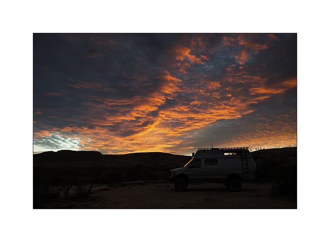
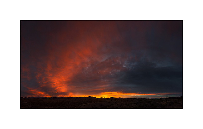
11. Sunset light as I go back to Vivalavida…
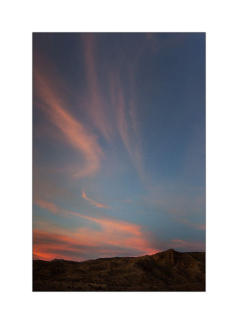
12. Beautiful sky…
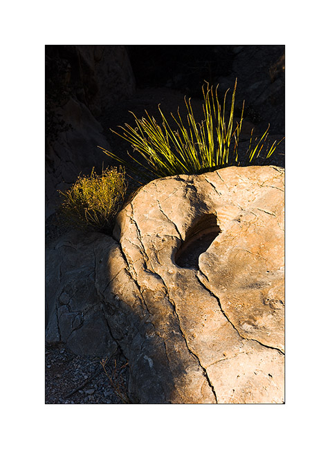
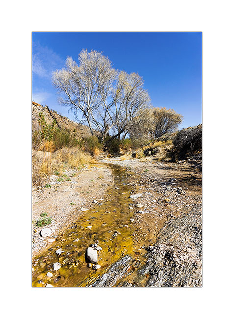
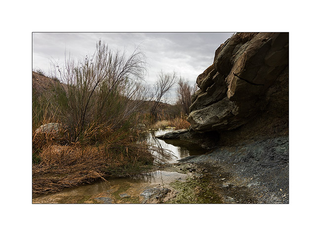
13. A spring whose water disappears underground just 300 yards after be appeared…
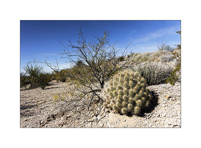
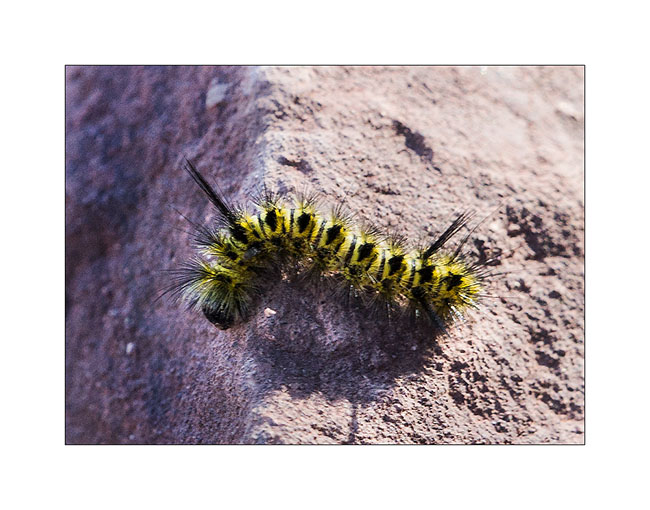
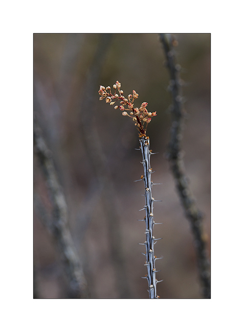
14. Beautiful spiny specimen!
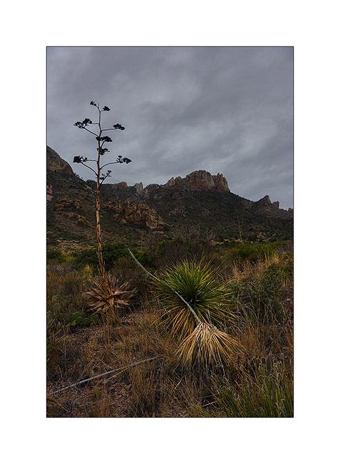
I then ascended in the Chisos Basin nestled amid Chisos Mountains at 5,600 feet above sea level, where I climbed the highest peak, the Emory Peak at 8,408 feet.
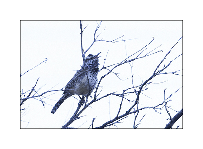
15. The singer who waked me up…
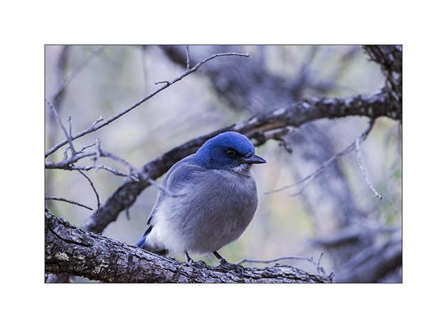
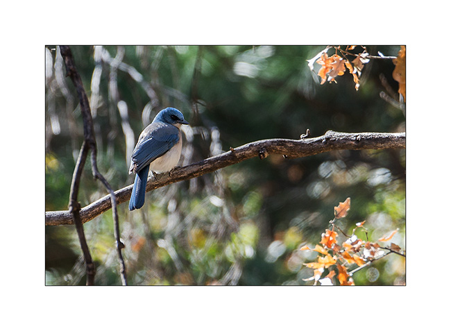
16. A mexican jay still asleep in the cold morning. He let me close to only six feet away…
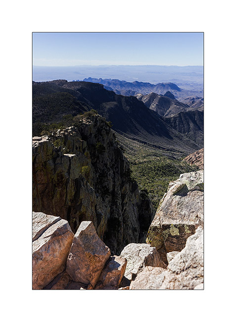
17. View from the top of Emory Peak. Distant are more than 300 miles away, amazing!
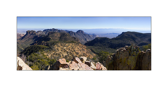
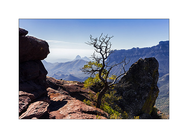
18. Cliff views from the top.
19. Chisos Bassin at sunrise.
20. Following the Lost Mine Trail…
21. Visitor on the path…
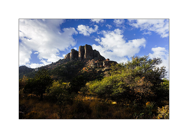
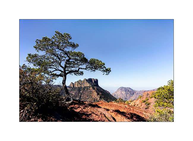
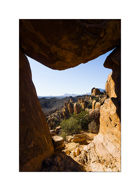
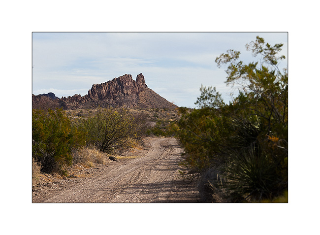
22. View to the Chisos Mountains from the Lost Mine Trail.
23. Another one to close that report on Big Bend National Park.
My journey will continue with the discovery of Big Bend Ranch State Park almost adjoining the National Park. To come soon…
Big Bend National Park (3)
Coming out of the Baja after some adventures I will tell you soon, here is another update in Big Bend National parc.
1. Colored sunrise…
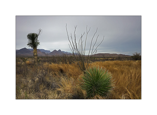
The weather is still cloudy, windy and cold. I take this opportunity to introduce you to some of the desert plants…
2. A faded agave flower stands proudly.
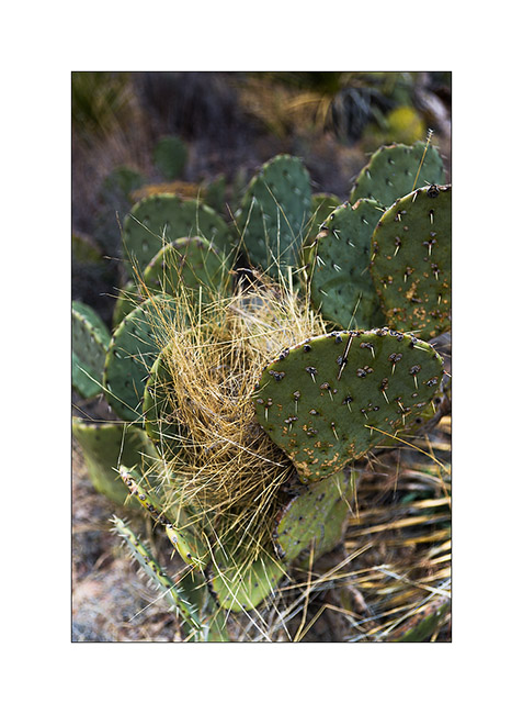
3. A nest in cactus…
4. Almost everything that grows here have thorns..!
5. Grains…
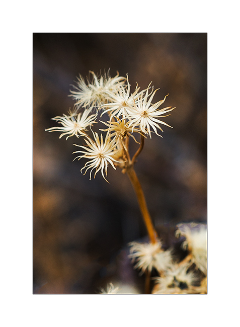
6. Nice tiny stars…
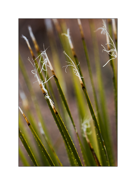
7. silky down…

8. Elegance…
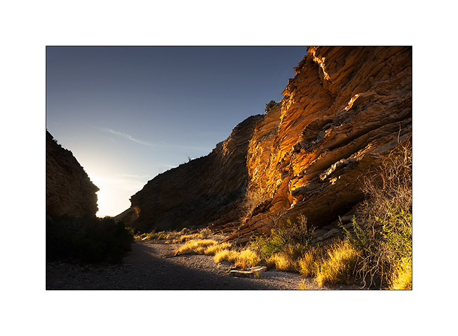
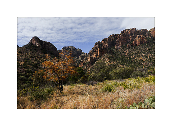
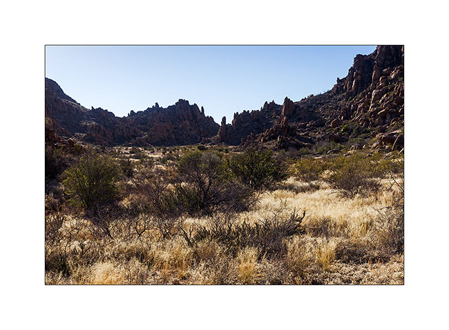
9. A little ray greets me at the entrance of Pine Canyon. At this altitude – over 4000 feets high – the vegetation changes, the freshness of the canyon makes enough moisture for some trees, mostly pines and oaks, to growth.
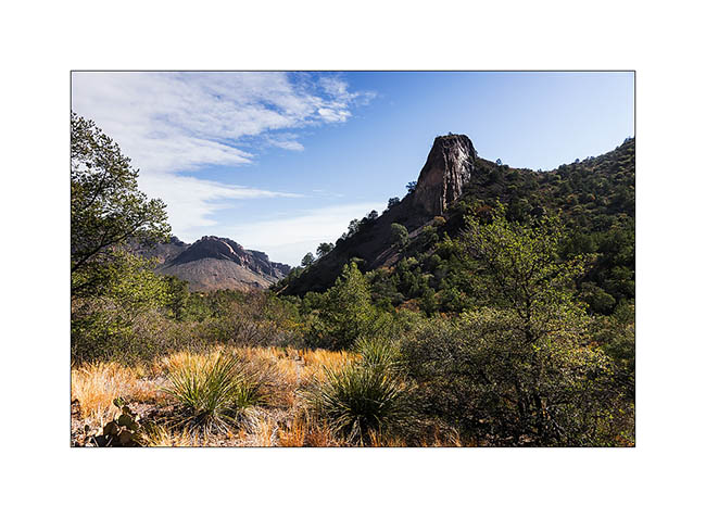
10. Pine Canyon, back view…
11. A mexican jay, beautiful bird that announces the arrival of bipeds by repeated shouts..!
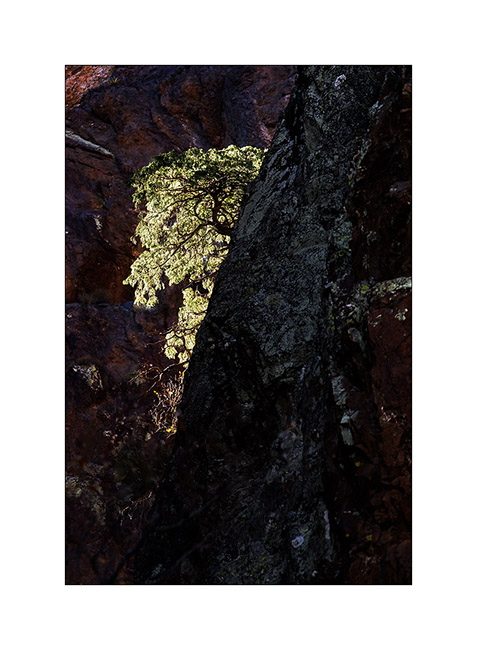
12. Tree on a cliff…
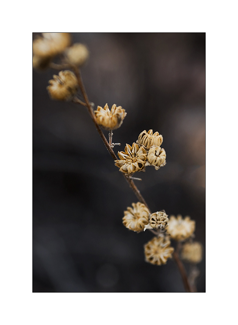
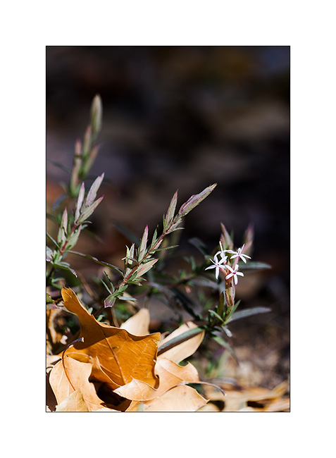
13. Undergrowth flower.
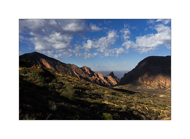
14. Sunset on Chisos Mountains.
15. What a sky to wish good night to Vivalavida..!
16. Arrival at the Grapewine Hills early morning.
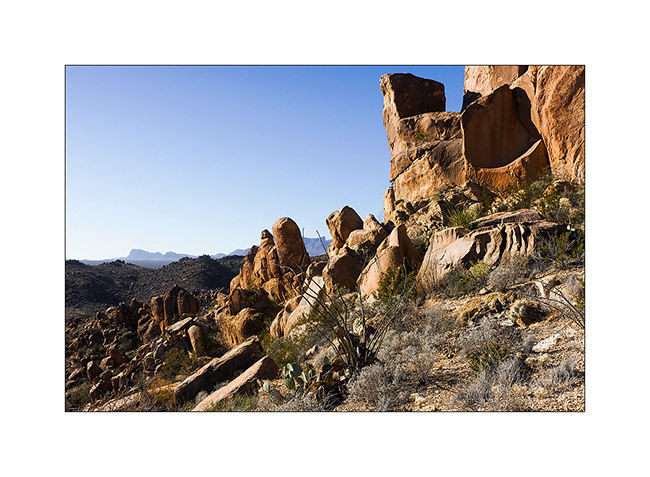
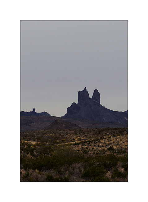
17. Nice pinacles…
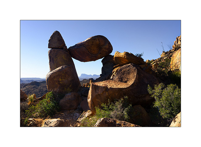
18. Balanced Rock…
19. Window on the landscape…
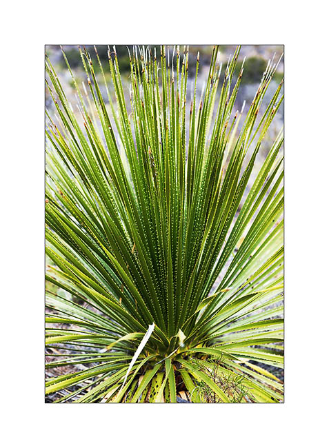
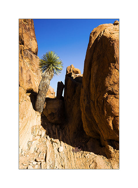
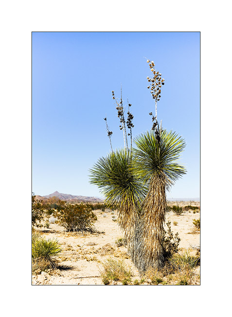
20. A yuca growing on the rocks.
The next update will still be in Big Bend NP, to be followed… 😉
Big Bend National Park (2)
Waiting on the laundry to finish, here is an update posted from La Paz, Baja california. 😀
We continue the River Road driven by VivaLaVida in Big Bend NP.
1. Clouds are coming…
2. Survival…
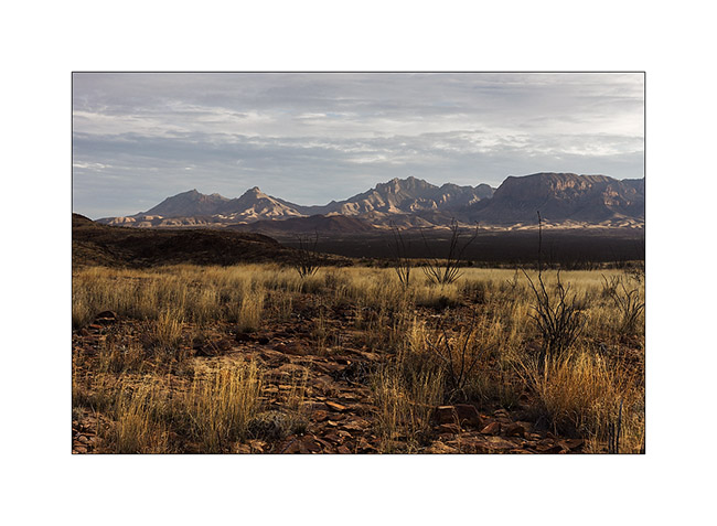
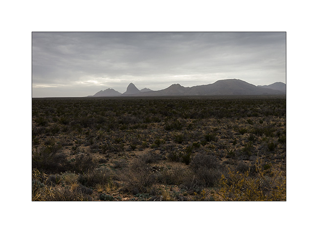
3. Mountains in Mexico…
4. I disturbed him…
5. Another flower.
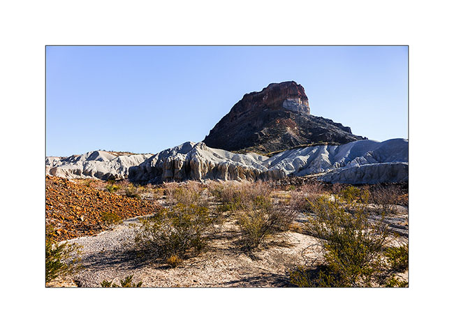
6. The “Mule Ears” mountain…
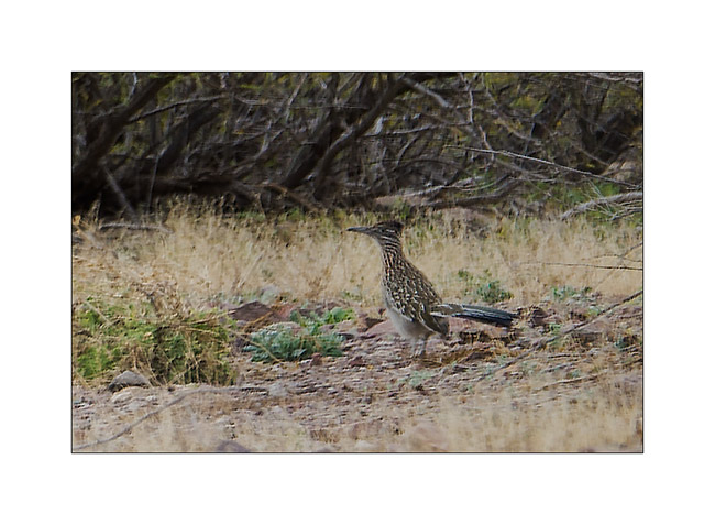
7. I got it ! 😉 Sorry for the poor quality of the picture but the roadrunner runs really fast, till 20 mph to catch lézards he eats. The picture is cropped but it’s the only one I managed to take even I saw a lot of these birds…
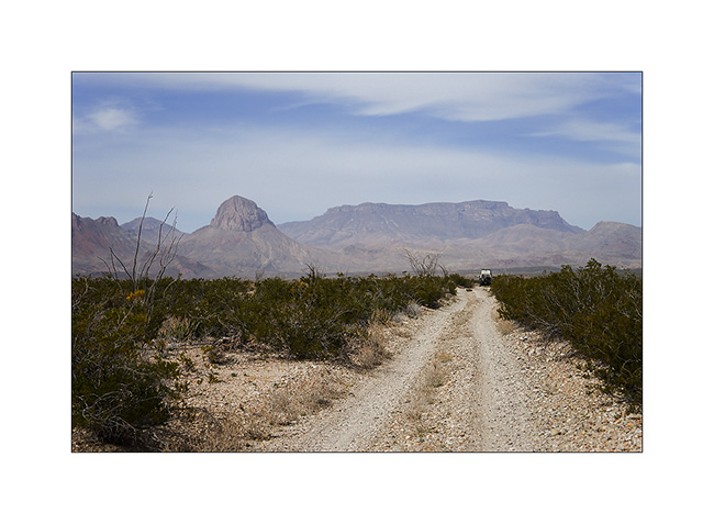
8. South of the Chisos Mountains…
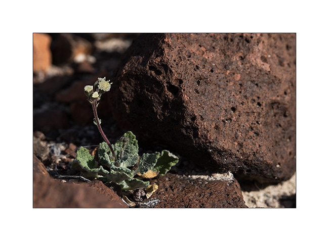
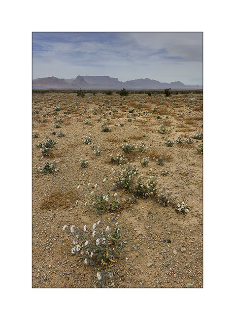
9. Still some desert flowers…
10. The road goes up North.
11. “Magic Bus”..? 😀 For those that kanow, just a reference to the movie “Into the wild”…
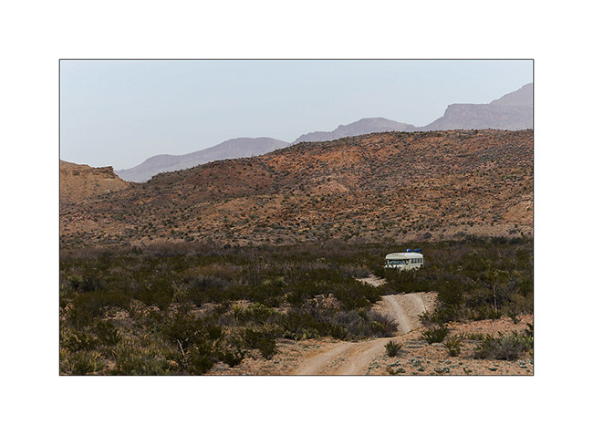
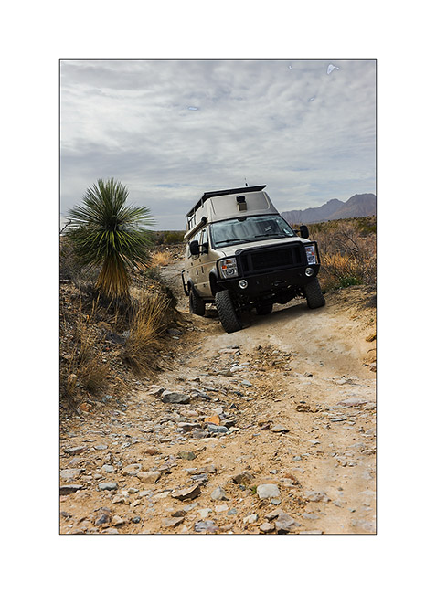
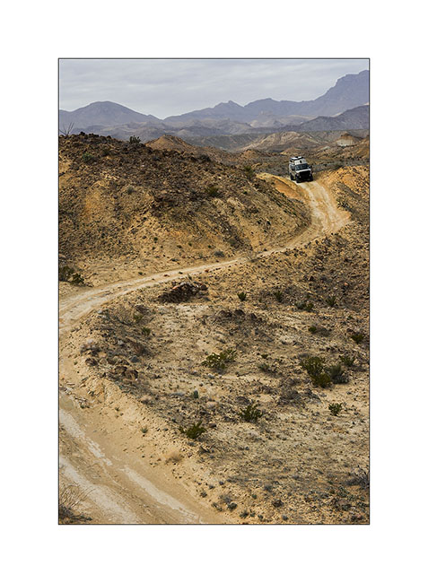
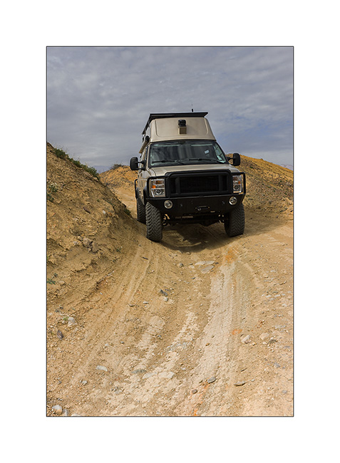
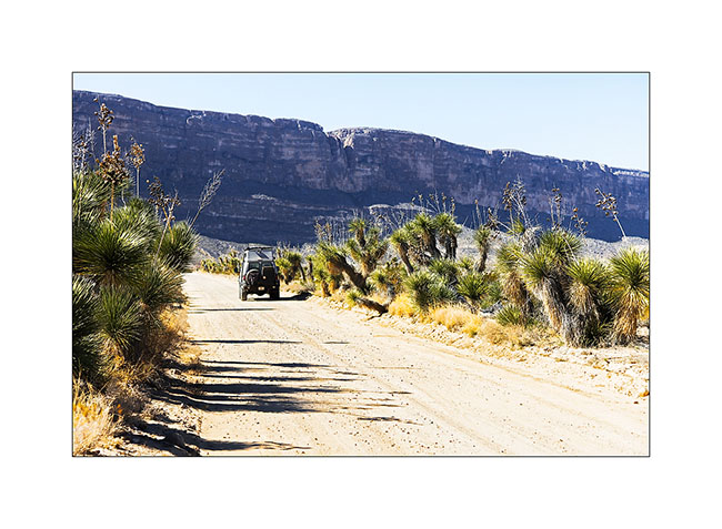
VivaLaVida then took an unmaintained road and needed three hours to drive 5 miles.
12. Down in a wash…
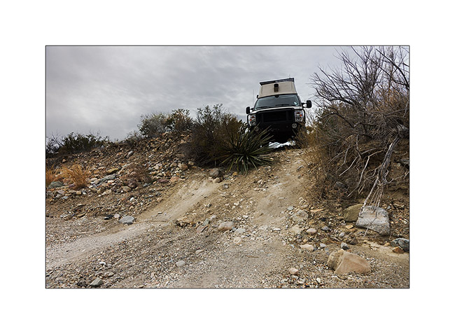
13. Axle crossing…
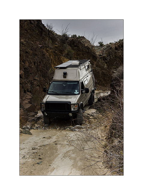
14. A part of the road in better state…
15. … but still partialy ashed out.
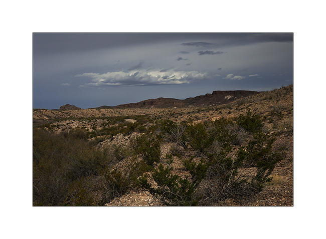
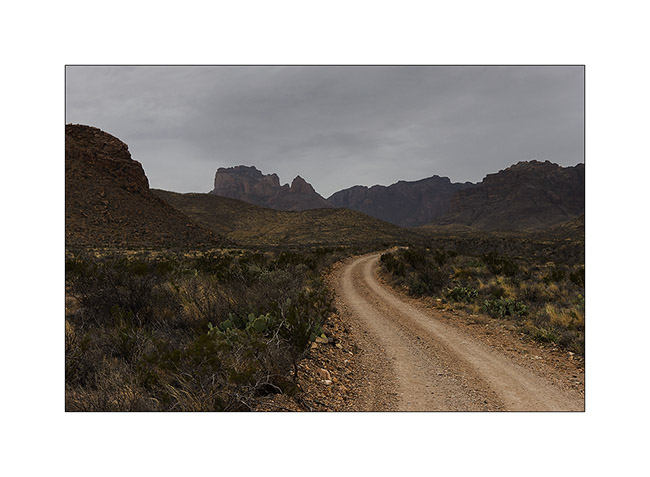
16. The landscape is gorgeous despite the gray sky and the wind rising.
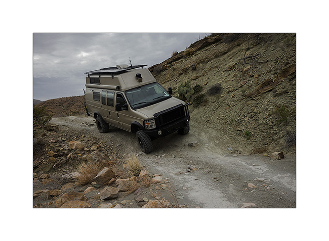
17. Nice step!
18. It leans quite a bit! 😉
19. At the end of this portion of the track, arriving at Glenn Spring where there was quite a bit of water.
20. But the sandstorm rose on the plain…
21. VLV went then back up to the Chisos Mountains to spend the night…
To be followed…
Big Bend National Park (1) : Rio Grande river
I just have one hour before to meet Andrew to go boondocking in the Anza Borrego Desert tonight and crossing the Mexican border tomorrow.
This update is entirely devoted to Big Bend National Park which borders with Mexico 137 miles along the Rio Grande.
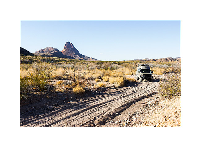
1. Arrival at Study Bute…
2. Vivalavida through fields of wild yucca…
3. … which sometimes reach impressive heights!
4. Near the wonderful Santa Elena Canyon, this solitary caught my eye…
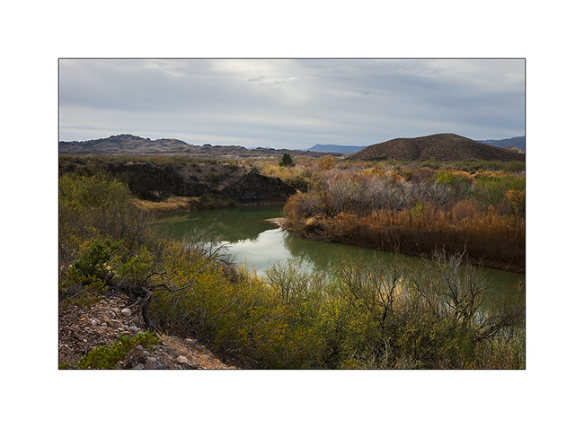
5. The Rio Grande River out of the canyon.
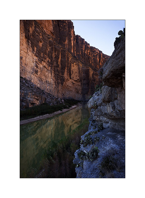
6. Mexican side: the cliffs are 1500 feet high!
7. End of the trail that goes upstream for about one mile. Even though it was tempting, I haven’t tested my kayak here because navigate the Rio Grande requires a special permission sice it forms the border…
8. Reflection on the Mexican side…
9. Sweetness of a micro beach…
10. Returning to my feet with the Chisos Mountains in the distance…
11. Erosion near the Harmonia…
12. Mushroom… 😉
13. Vivalavida then followed the river on the border following an uncrowded dirt road.
14. Sunset on the Chisos Mountains…
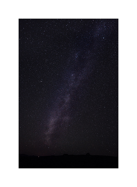
15. The nights here are deemed darkest of the U.S, no light pollution around to alter the purity of the atmosphere. Here northward…
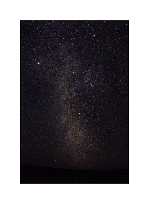
16. … then south, with Orion and Jupiter high in the sky.
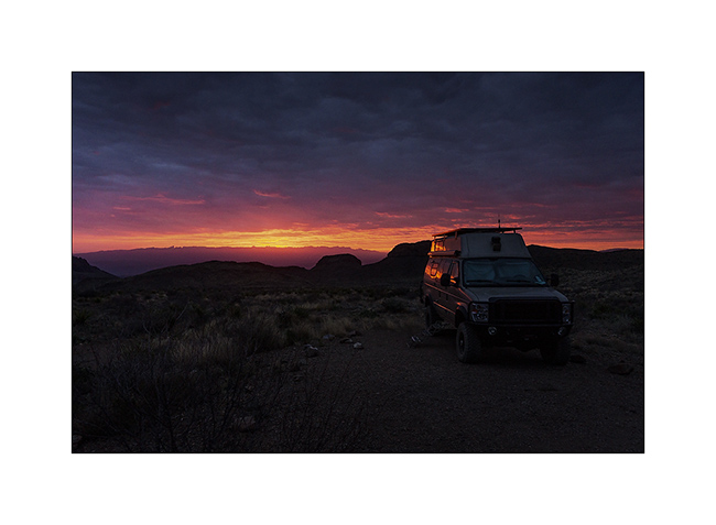
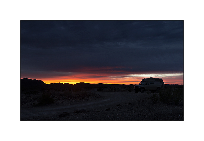
17. Early morning at my boondocking site.
18. Fantastic sunrise! (panoramic of 5 vertical images)
19. Mexican mountains so close…
20. Rio Grande arm.
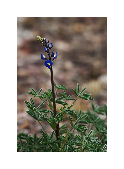
21. Flowering…
22. Another color touch…
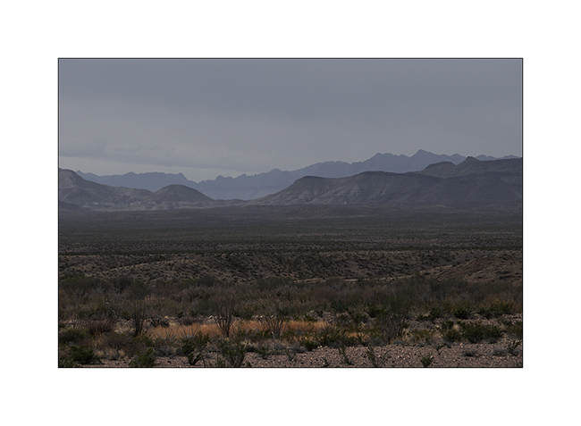
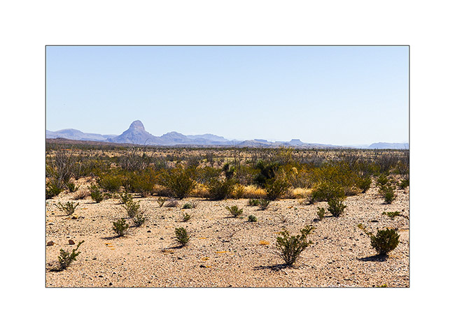
23. Chisos Mountains foothills.
To be continued in a few weeks or sooner if I fin some network to post…
Thank you for your loyalty at all, it’s really nice! 😀