
France @en
now browsing by category
Monviso – Bardonecchia area
1. Here we are again on the Alta Via del Sale but on its western part.
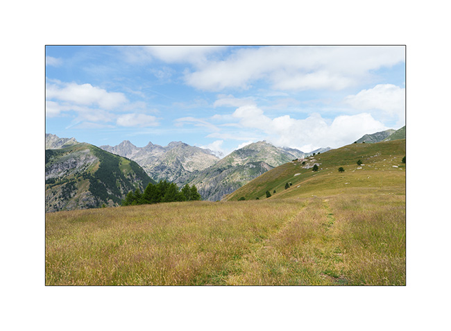
2. …
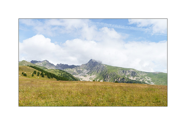
3. The Marguerie fortress where we spend the next night.
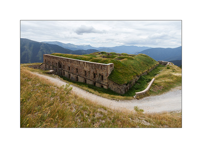
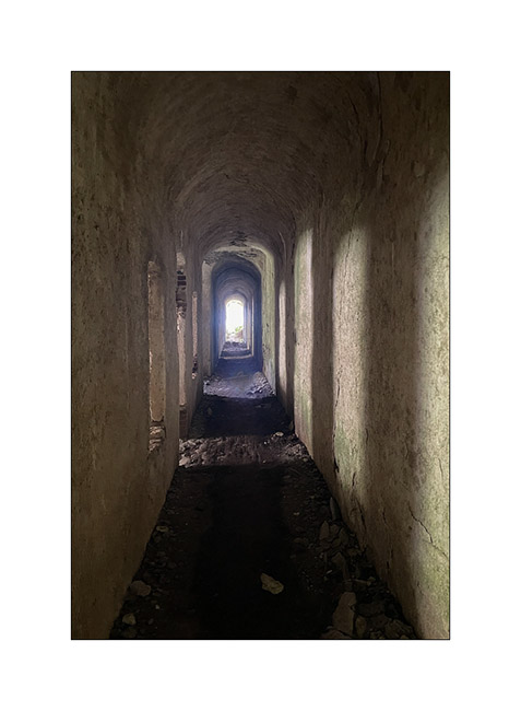
4. I go exploring part of it but don’t stay long because it’s really falling into ruin..
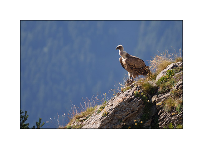
5. An early morning visitor to our camp.
6. As we begin our journey toward North, we go discover Monviso, the main Italian peak in the Southern Alps. A view from Pian de Rey. The afternoon convection partially hides the summit.
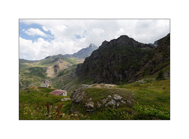
7. Further down, a small waterfall not far from our camp.
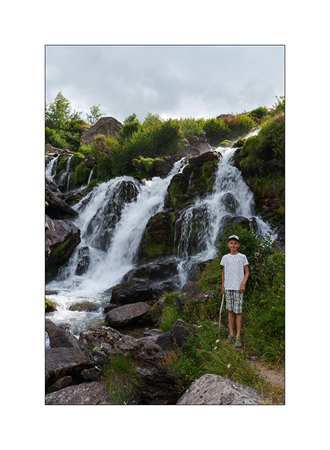
8. View on the valley.
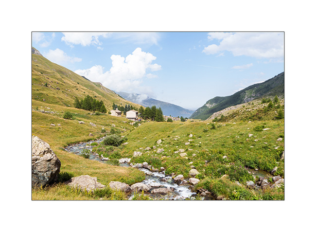
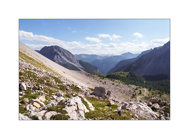
9. Then we head back up towards Bardonecchia to explore the Passo de la Mulatiera region. A narrow trail takes us to an altitude of 6,000 feet. Then we continue on foot to the pass.
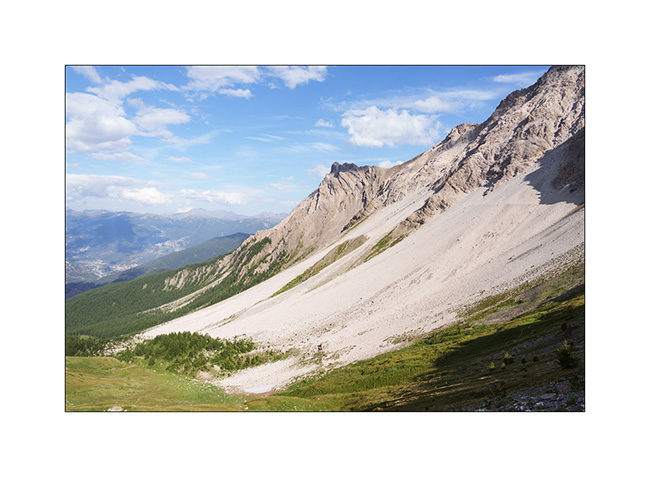
10. The large scree slope that lies beneath the Mulatiera fortress ruins. We look at a fearless marmot less than 15 feet away.
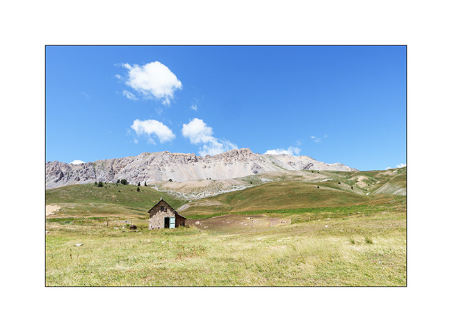
11. The next day, we park at the Col de l’Echelle and set off on a hike towards the Col des Thures. After a quite steep climb, we discover the Vallon des Thures and the small mountain pasture of the same name.
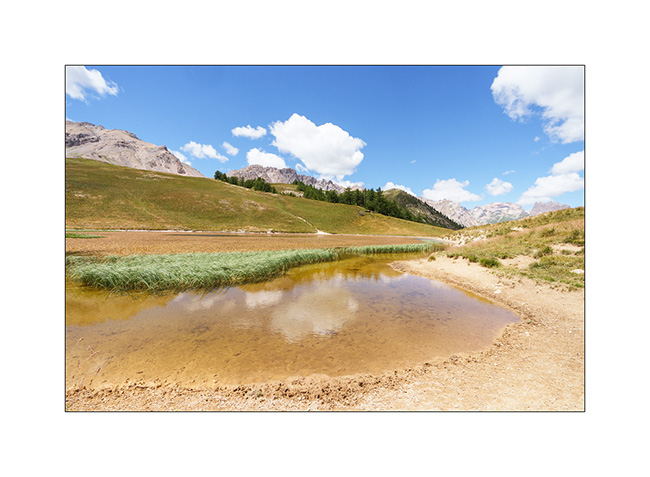
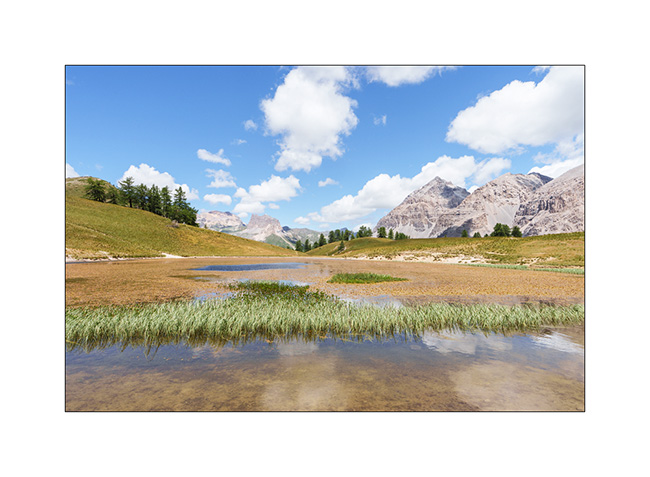
12. Arrival at the superb Chavillon lake with Mount Thabor in the background.
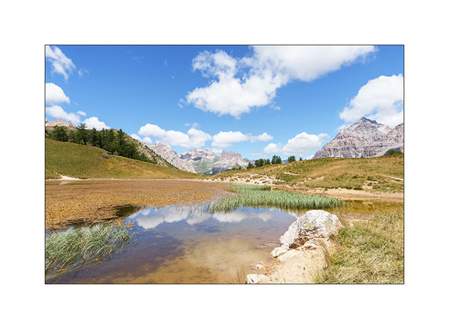
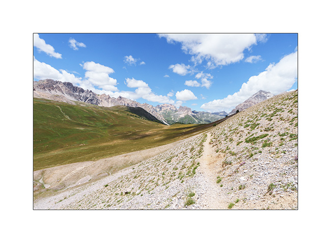
13. I vary the compositions.
14. …
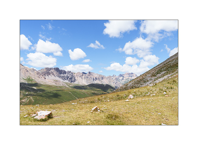
15. Return path through the screes.
16. Last look at the valley.
17. Above the Col de l’Echelle.
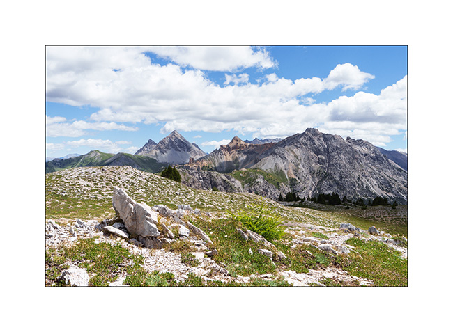
18. Our camp under Mount Jafferau, a spot where we already spent the night three years ago.
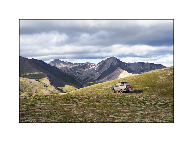
The rest of our journey will take us through Mont Cenis, Isère, and the Savoie region. We’ll show you that soon! 😉
Turini and Miniere Valley
1. Just a few miles above our camp, we discover the old Turini barracks.
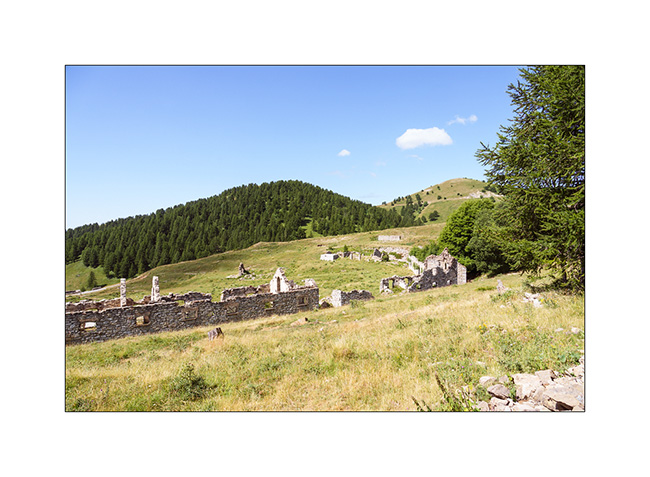
2. Views of the Mercantour Park are magnificent.
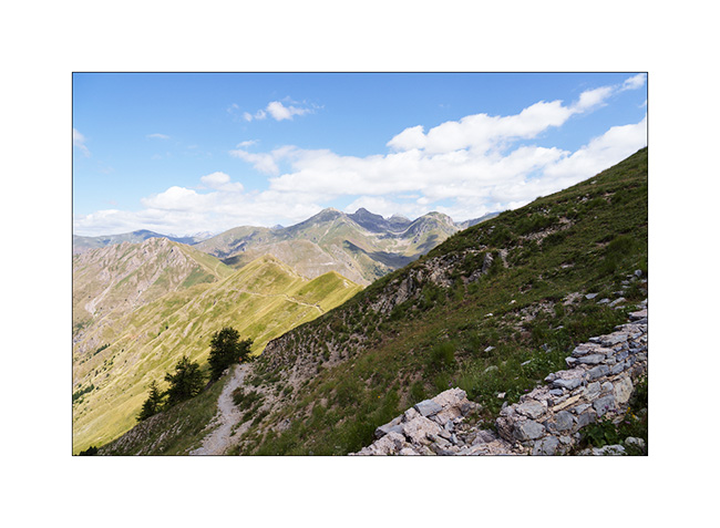
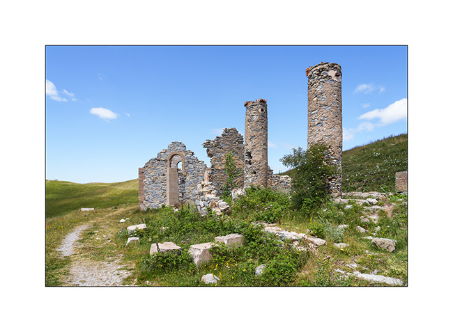
3. Another ruin, the Trois Communes barracks.
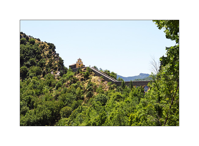
4. Going down to Sospel, the Chapel of Notre Dame de la Menour.
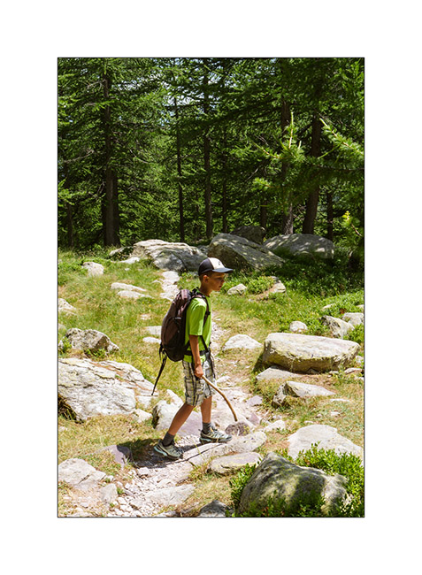
5. The next day, we take a long hike to discover the Valley of la Minière and its lakes.
6. After more than 5 miles, we approach the first lake, the Lac Long Supérieur.
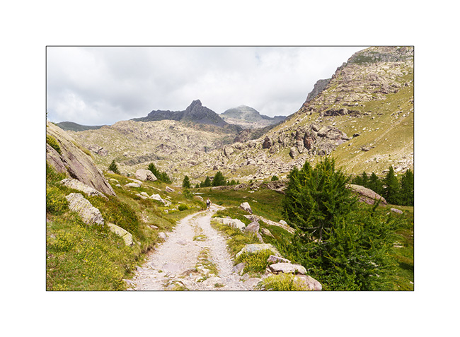
7. It is the largest since the construction of a small dam at its end.
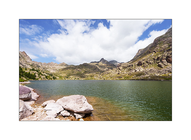
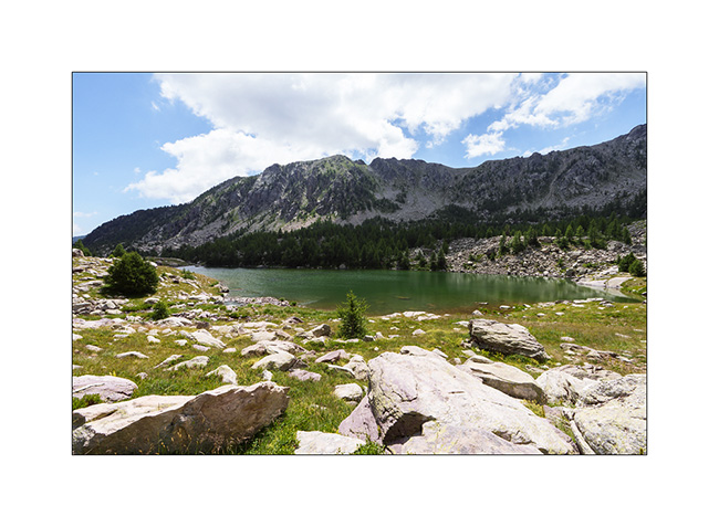
8. After discovering Lake Fourca, above the Merveilles refuge, here is Lake Soargine, at the start of our descent.
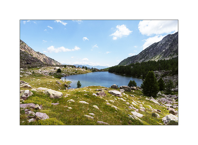
9. From another angle.
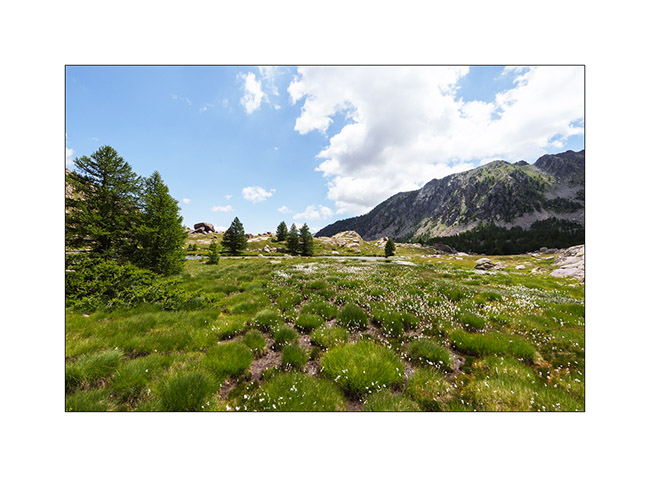
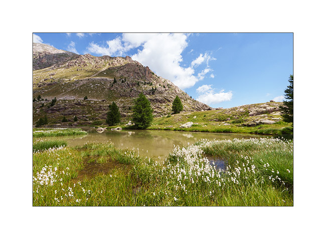
10. The marshes below the lake are gorgeous.
11. …
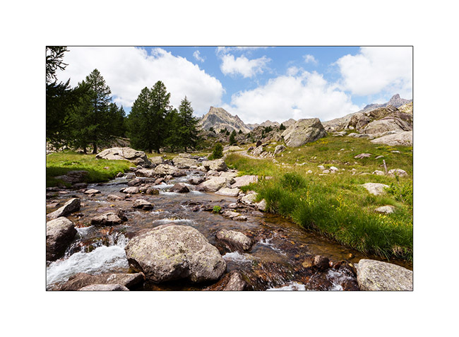
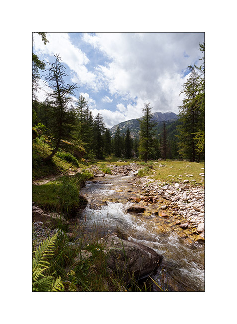
12. The river Miniere, carving the valley.
13. Almost back tout VivaLaVida after more than 15 miles of hiking.
14. Tired, we enjoy VLV’s shower and head straight to a boondocking spot I spotted in 2017, at the start of the western part of the Alta Via del Sale.
15. Nice surprise while preparing the aperitif: a local resident comes to eat nearby..
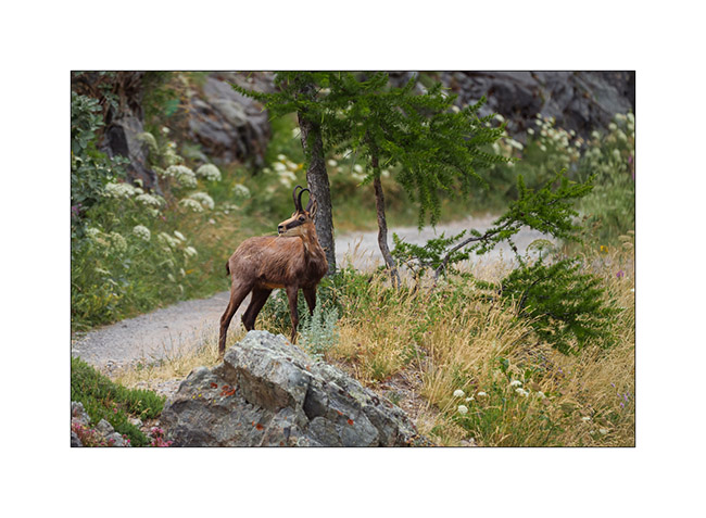
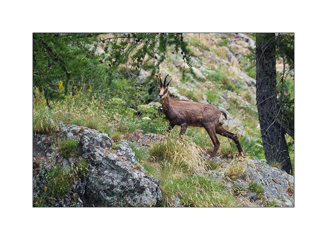
16. We watched him for a good 15 minutes when he was only about thirty feet away until a car coming onto the track made him go up the slope.
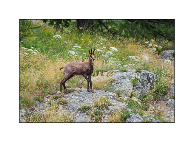
17. …
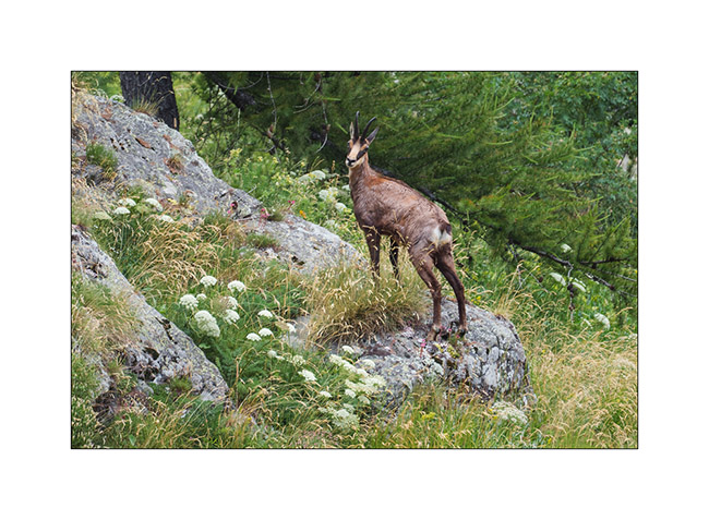
18. … before disappearing into the bushes.
More coming soon… Thanks again for your loyalty to this little blog! 😀
Alta Via del Sale
It’s Wednesday. We arrive at the entrance to the High Salt Road, unsure if we’ll be allowed to enter. Officially, the road is restricted to vehicles less than 18 feet long, 5 feet high and weighing less than 3.5 tons..
At the ticket booth where you pay your way, I don’t hide the fact that VivaLaVida is breaking the three previous criteria and I’m glad I did. The attendant tells me that my honesty does me credit and that he’s happy to let me through. He tells me that in an overhanging section, I’ll have to drive close the edge to avoid hitting the rock but that he thinks it should be fine.
We are very happy to be able to discover this legendary trail!
1. In the wellknown hairpin just before the Pass of Boaria, where we turned back on our bikes the day before.
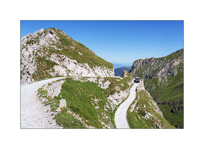
2. The trail winds between 6,000 and 7,200 feet above sea level for around thirty-five miles.
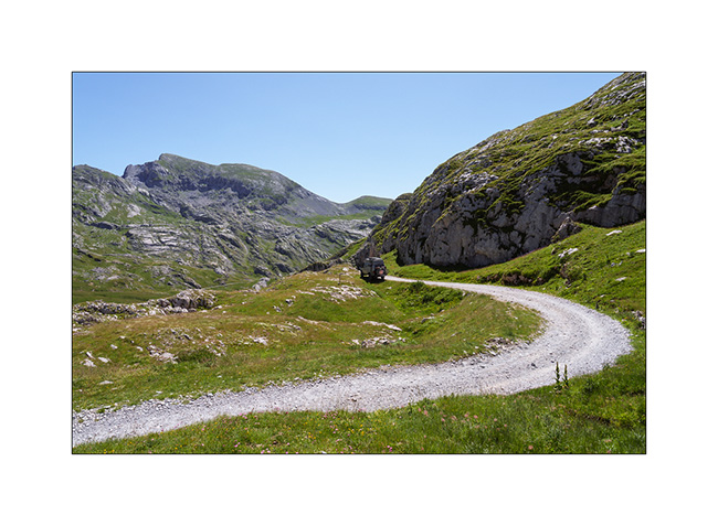
3. Landscape is superb.
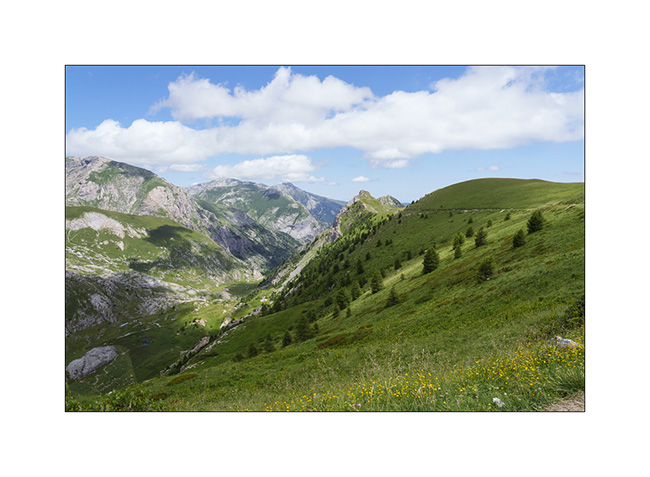
4. After the Don Barbera refuge and the overhanging passage passed without any problem.
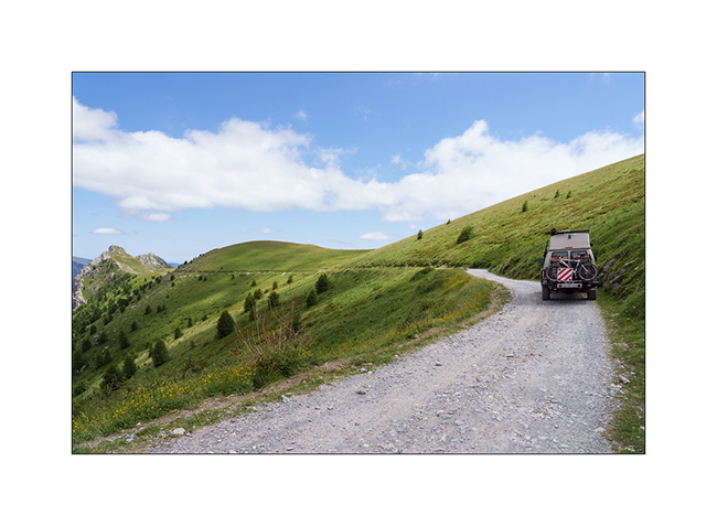
5. Part closer to the tree line.
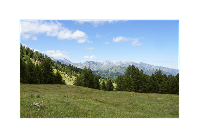
6. Mount Saccarel, at 6,600 feet elevation.
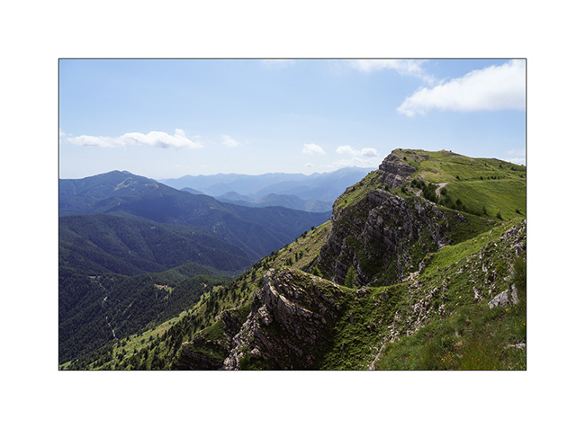
7. High altitude landscape.
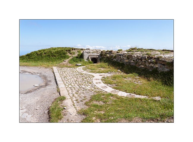
8. Former cannon battery of Mount Saccarel.
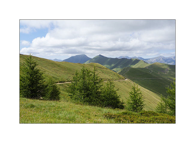
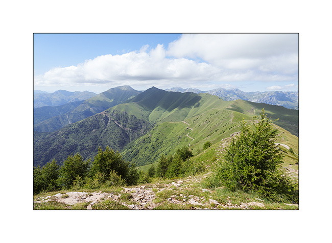
9. From Mount Saccarel, the trail we will take to descend. It is in poor condition and it will take us more than two hours to reach La Brigue where we will spend the night in a small campground.
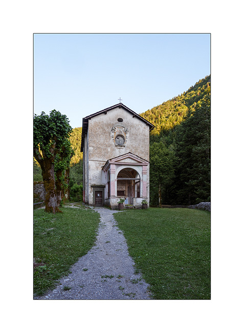
10. Chapel of Our Lady of the Fountains, just before La Brigue.
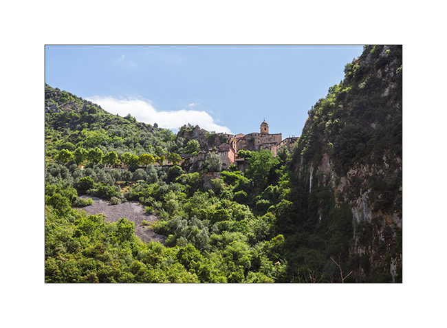
11. After a good night’s sleep preceded by a dinner in a small restaurant, we go shopping food in Breil-sur-Roya and then take a trail leading to the Mercantour Park. Here, the pretty hilltop village of Soargue.
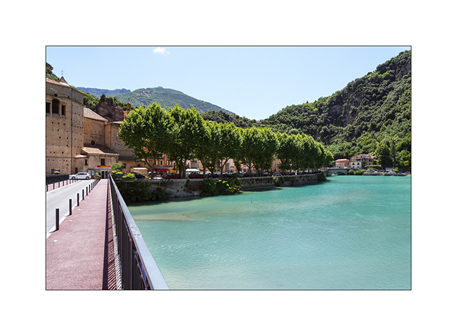
12. Breil-sur-Roya.
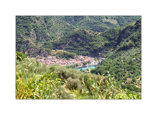
13. From a little higher up, where we stopped for lunch.
We meet a Mercantour park ranger who informs us that the heart of the park has been extended and that the planned trail now crosses it and it’s thus closed to all traffic.
He points us to an alternative route that’s a bit of a detour but allows us to avoid the heart of the park. So we retrace our steps to a junction and take the indicated trail. The loop is significantly longer but allows us to discover the hills of the hinterland with the Mediterranean sea in the background.
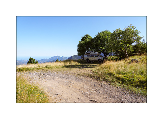
14. We find a gorgeous bivouac spot a few miles before the Turini barracks which we will discover the next day.
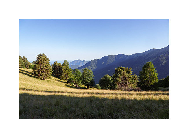
15. Walk at the end of the day.
To be followed soon… 😉
Pass of Valbelle
Still on our way back home, we pass by chance near the “Demoiselles coiffees”, some hoodoos on south shore of the Serre-Poncon lake.
1. A short hike takes us near these always impressive concretions.
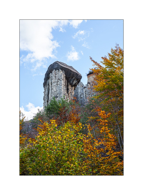
2. The site is evolving fast. Its configuration has changed a lot over the last 50 years.
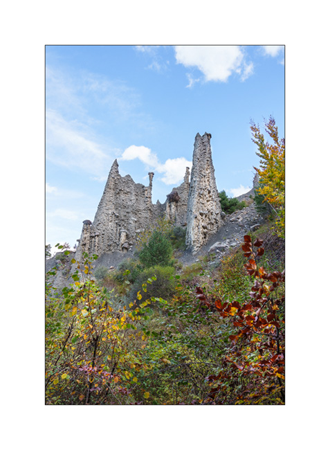
3. Site Overview.
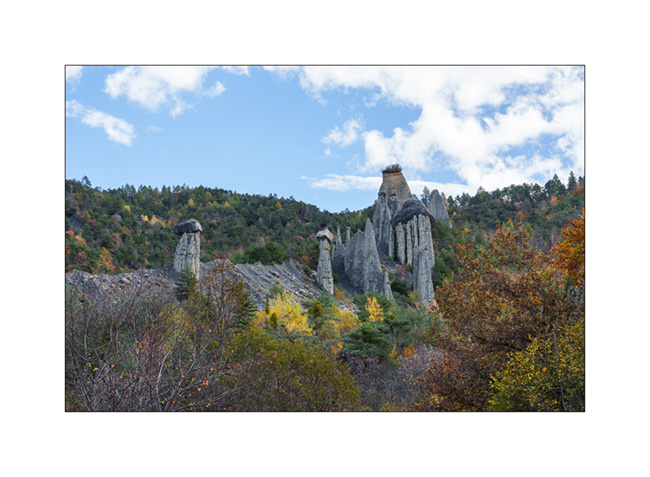
4. Always favoring the back roads, we take a trail passing through Coche and Valbelle passes to reach Guillestre.
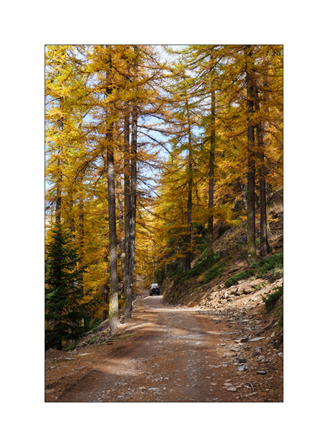
5. Summer stable.
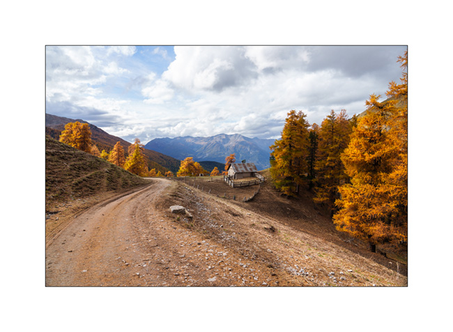
6. VivaLaVida on the trail.

7. View towards the West, shortly before the Pass of Valbelle.
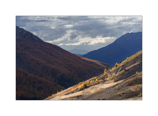
8. From the pass towards North.
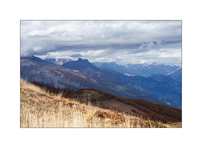
9. Some showers are coming.

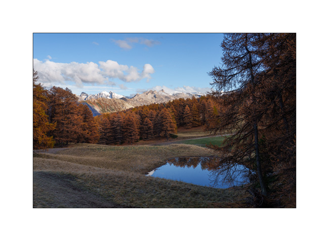
10. It’s gotten colder, the snow is not far away.

11. We find a boondocking spot above the Risoul 1850 station.
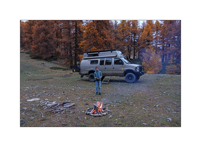
12. Last campfire of the trip.
13. Stop at an abandoned gas station in Maurienne.

And that’s it for our Fall holidays. Shortly after, summoned to the VivaLaVida expertise, I had to remove the licence plates while waiting for the manufacture of parts to increase the power of the parking brake because the efficiency of the current assembly was deemed insufficient by the expert. We were therefore unable to enjoy VLV this late autumn. She returned to her shelter for the winter.
As you read this, I received the ordered parts. I’ll be installing them in the coming weeks before getting the licence plates for the new season.
Thank you for your loyalty in following this little blog and see you soon for the rest of the journey aboard VivaLaVida! 😀
Haute-Ubaye
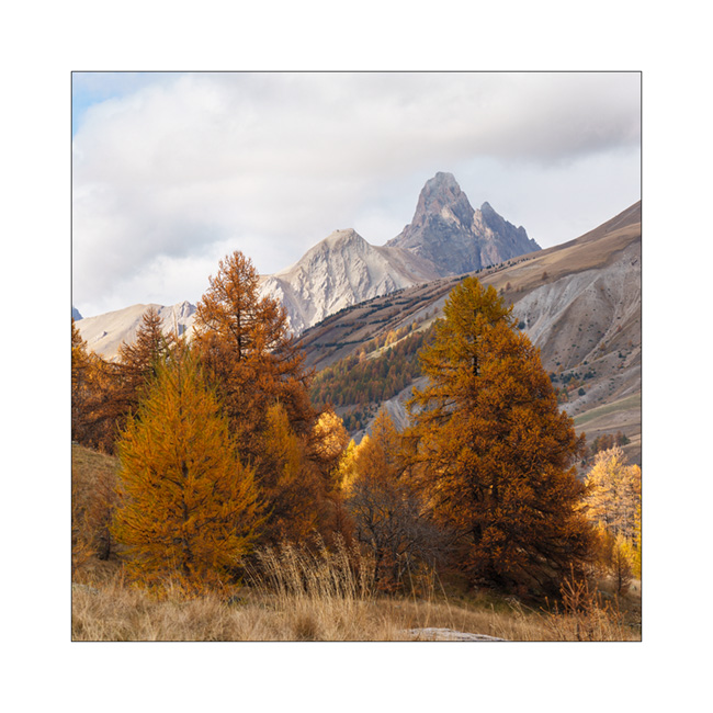
Coming down from Larche Pass (Colle della Maddalena), we go discover the Lautanier valley.
1. Fall colors are everywhere.
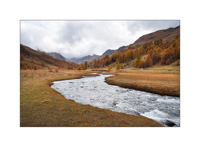
2. Hiking up the valley.
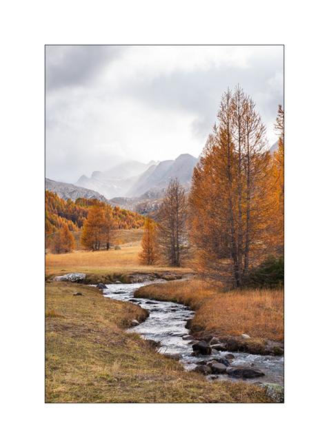
3. Meander.

4. A hiker on the bridge. 😉
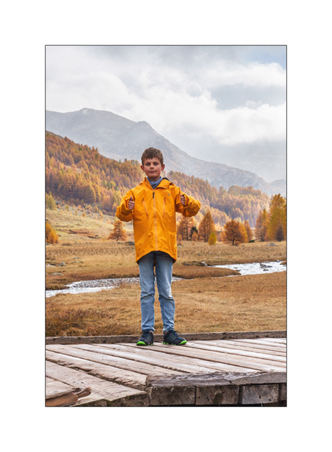
5. Ubayette River which dug the valley.
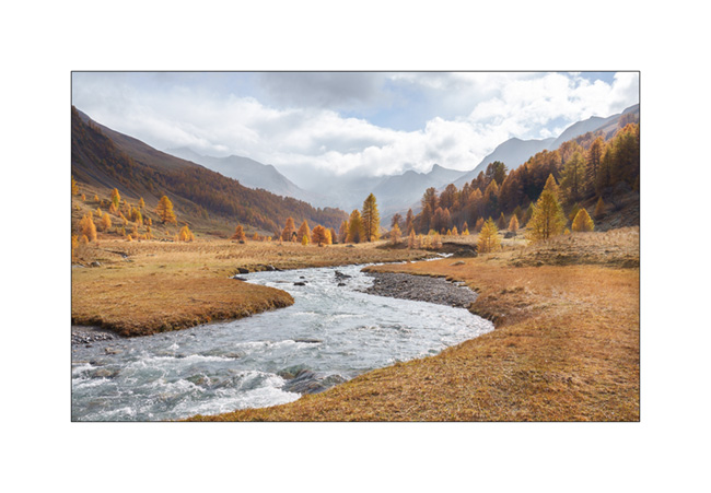
6. Larches and birches.
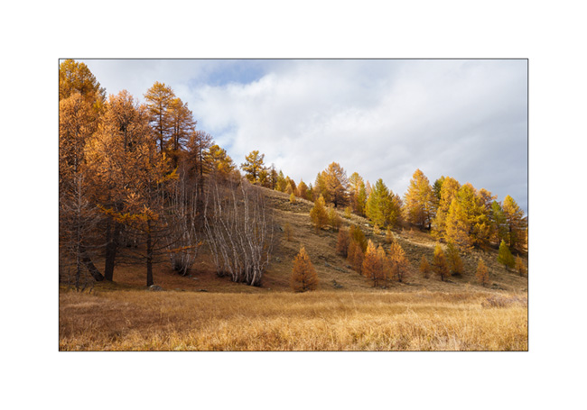
7. Further up in the valley.
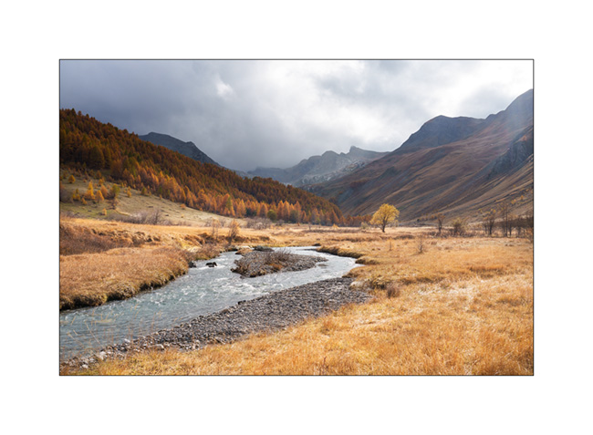
8. Fall atmosphere.
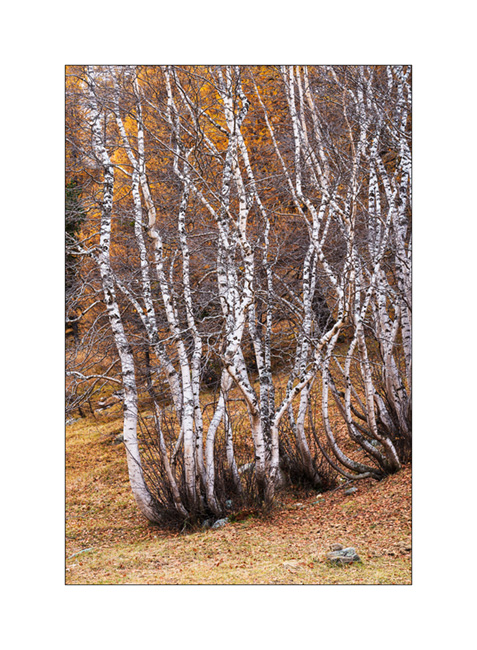
9. Birch trunks.
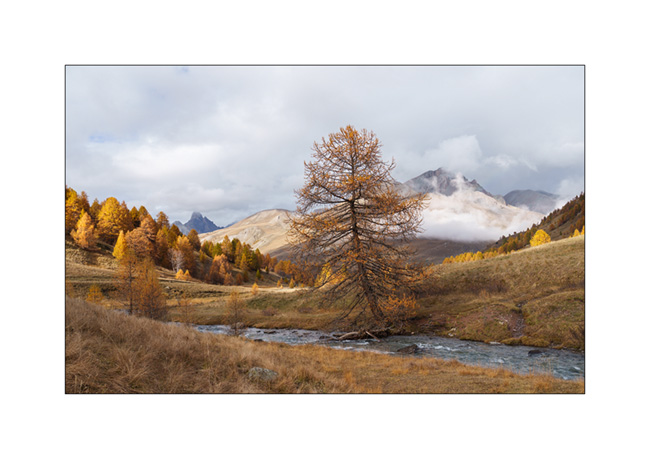
10. Ubaye Valley.
11. Our boondocking spot along the river Ubaye.
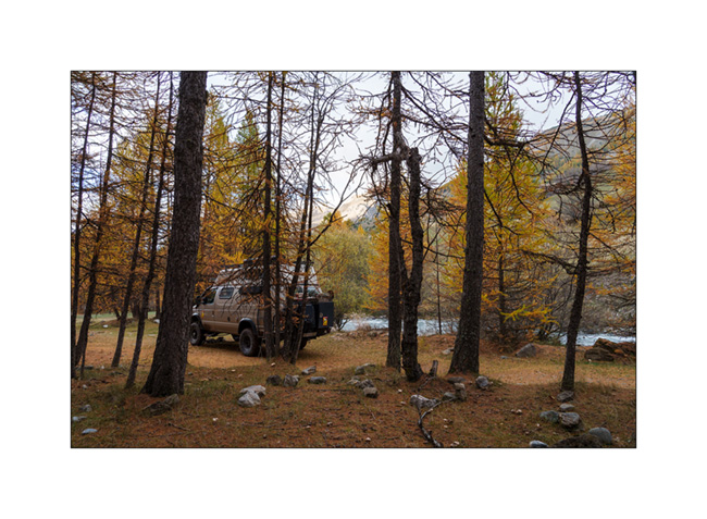
12. We made a campfire there between the raindrops.
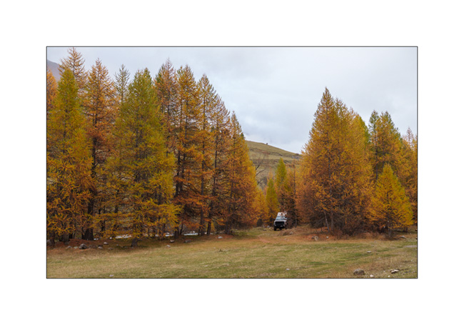
Continuation of our way back shortly.
Waterfalls in Jura Mountains…
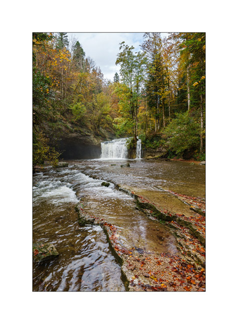
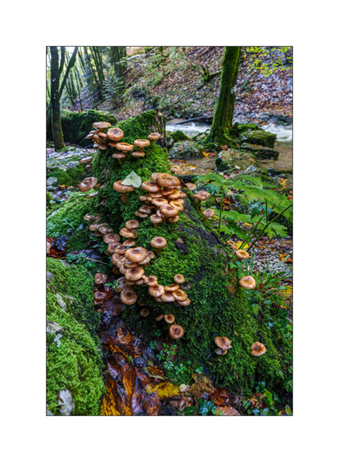
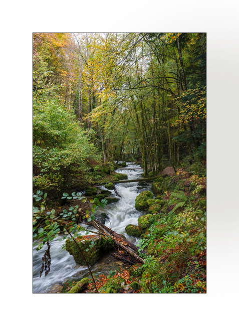
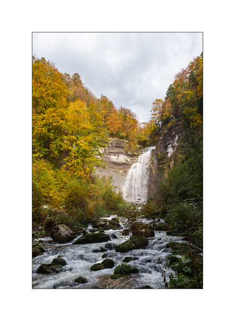
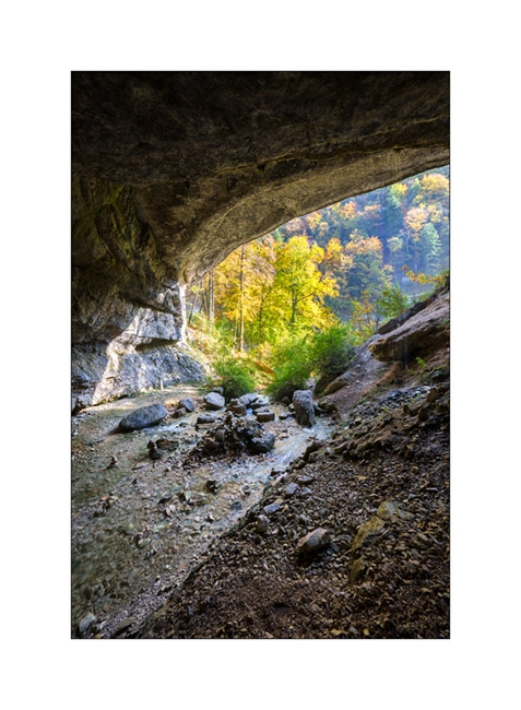
In mid-October, in Emile’s absence, I went for a little trip to the Hérisson waterfalls, in the neighboring French Jura.
1. Gour Bleu waterfall, horizontal version.
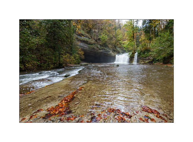
2. Gour Bleu waterfall, vertical version.
3. Mushrooms…
4. Bubbling undergrowth.
5. Grand Saut waterfall.
6. Alcove.
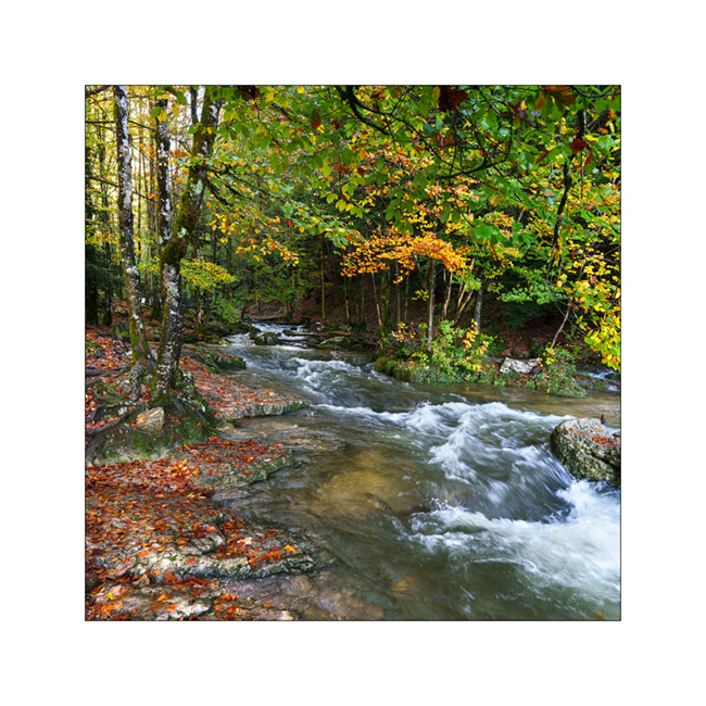
7. Hrrisson torrent.
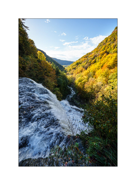
8. Above Eventail waterfall.
9. Oops, the forest roads were quite muddy that day! I had to use the winch to get out of that mess!

The next article will take you to discover some new corners of the Italian Alps during our Fall holidays. To come soon.
Return through Lozère, the Cévennes and the Ardèche
It’s time to go home as Emile is flying to America in three days with his mother..
1. Small village not far from our camp.
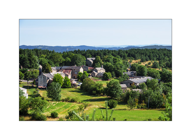
2. Another one, a little further.
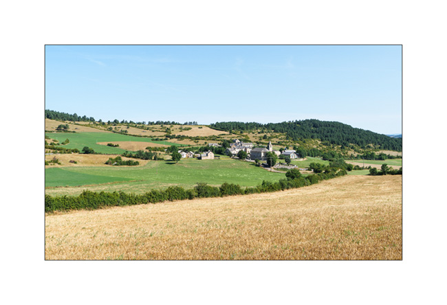
3. Pastures of the Lozère highlands.
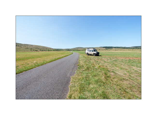
4. I love these arid plains…
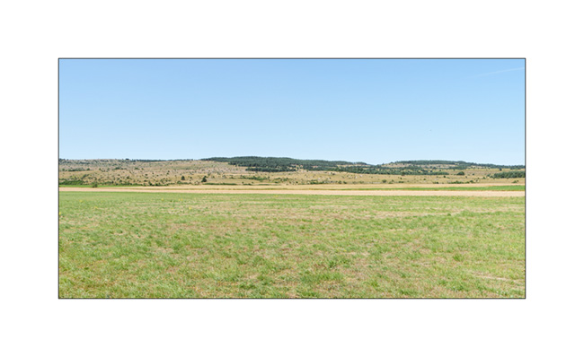
5. Not far from Florac, on the Causse Méjan.
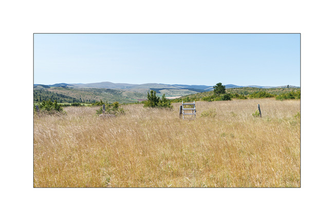
6. Isolated hamlet.
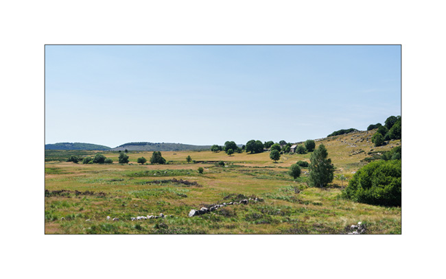
7. Trail under Mont Lozère.

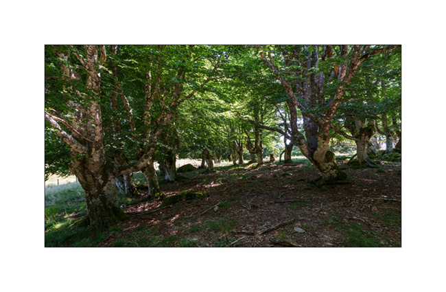
8. Grove.
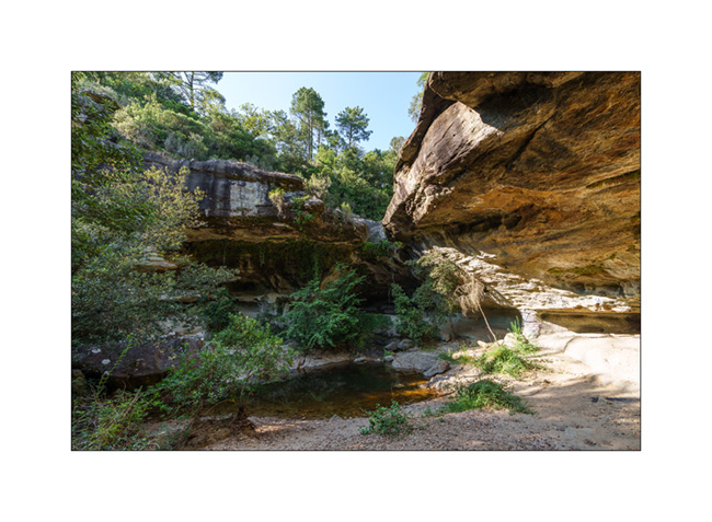
9. In Ardèche, Baumicou waterfall, actually dry…
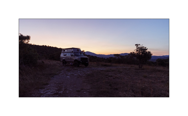
10. Last bivouac in Ardèche before the return.

11. Dusk…
That’s it for this too short summer vacation. The next posts will be about fall adventures… 🙂
See you soon here and thank you for your loyalty in following the discoveries of VivaLaVida !
Highlands of Lozère
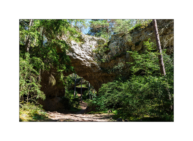
Coming back from Spain, we cross France by small roads, discovering some spots identified during previous research. We arrive in Gorges du Tarn and go up to a first causse (kind of of high plateau) by a very small road. It leads us to a trailhead to discover several natural arches.
1. First spot, a cave in the limestone.

2. A few hundred yards further, a first arch.

3. A hoodoo in the middle of a clearing.

4. Emile poses for the photo.
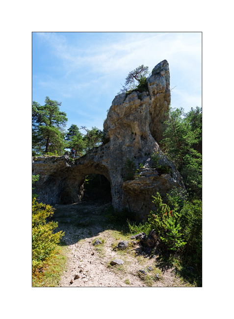
5. At the end of the loop trail, we arrive at the spot called Arcs St-Pierre with three natural arches within a radius of barely 150 yards. The first, which seems to have served as a shelter in ancient times.
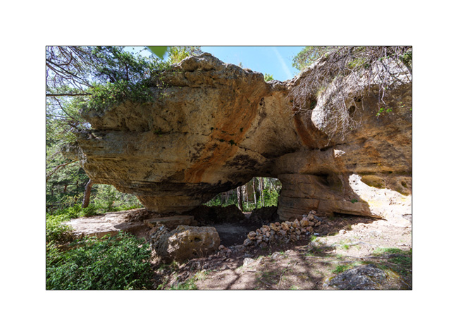
6. The same from the opposite.

7. The second.
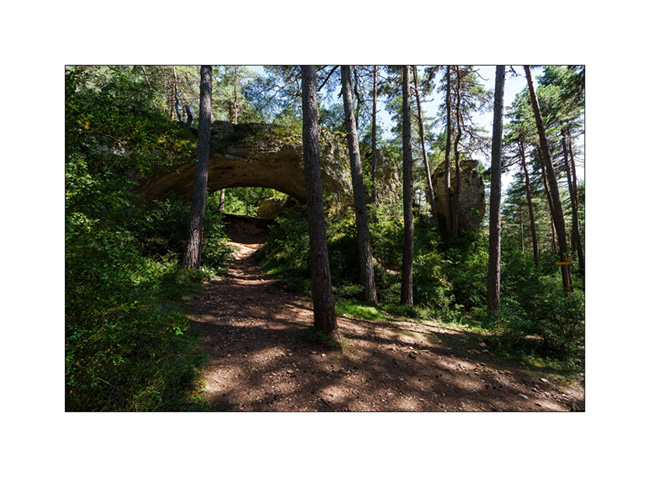
8. …
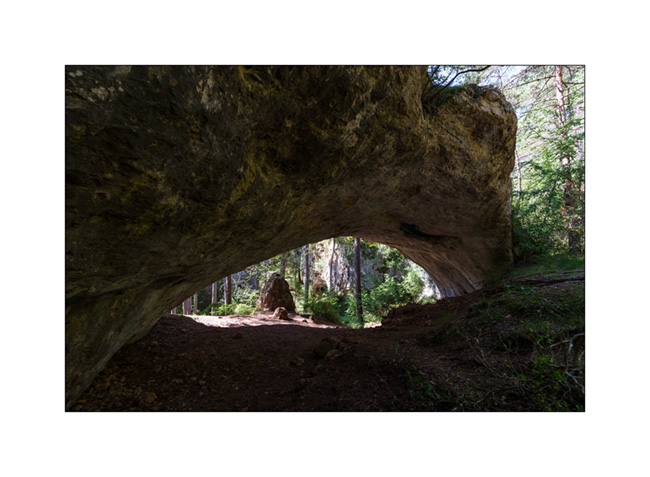
9. The third, the most imposing.

10. Both in a row…
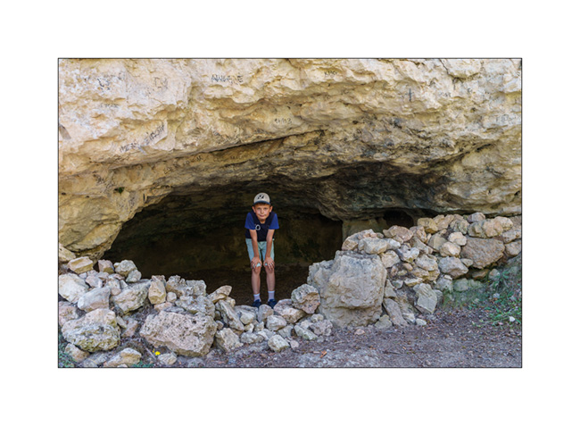
11. Emile in a small cave along the path.
12. View from the plateau.
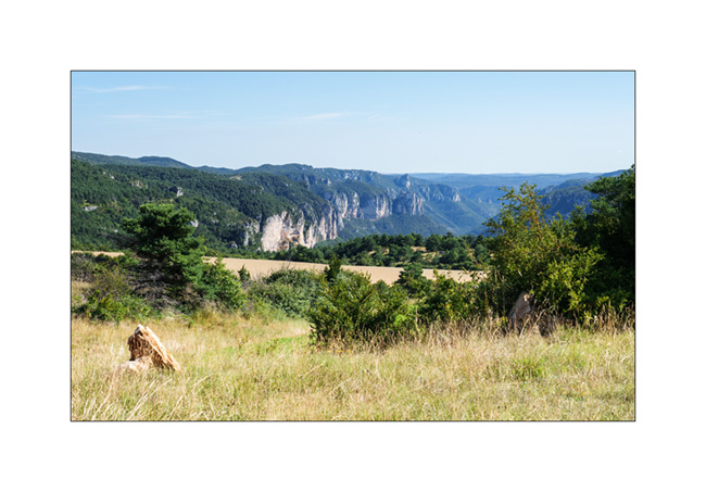
13. The meadows are quite dry but some flowers remain.

14. Our camp a few miles further; the shower feels good. 😉

Continuation and end of these summer holidays in the next update soon…
Rougier de Camarès and Millau bridge
We continue our return journey with several detours…
1. Pretty village of Saint-Sernin-sur-Rance on our road to Aveyron.
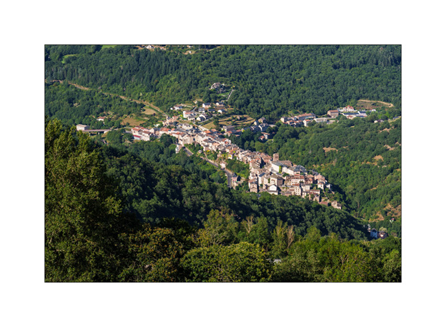
2. We arrive in Camares at the end of the afternoon…
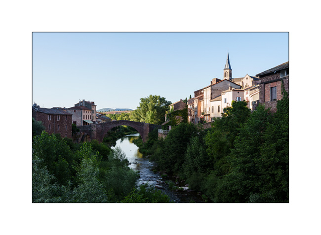
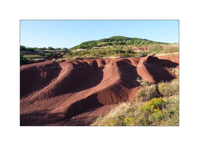
3. … and we go discover its “rougier”.

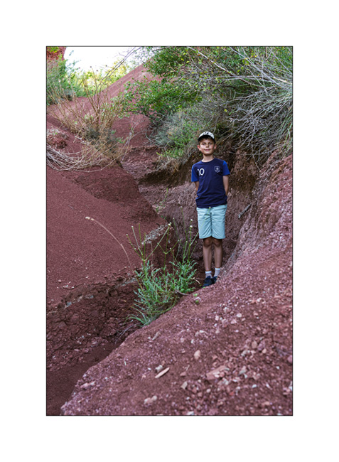
4. It is an area of erosion of clays with a high iron content, which gives its characteristic color from which it’s named.
5. We go walking there…
6. …
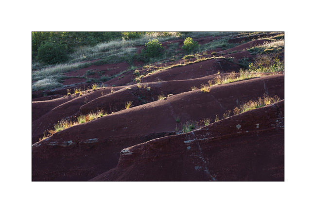
7. …
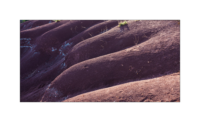
8. Back to VivaLaVida.

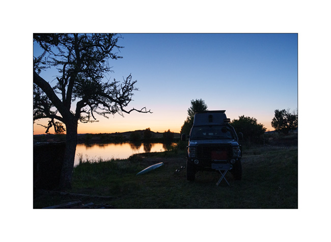
9. Nice boondocking near a private lake. Thanks to the breeder who allowed us to spend the night on his land.
10. After a short drive to the East, we approach the Millau Viaduct which I discover for the first time.
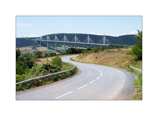
11. Quite impressive!
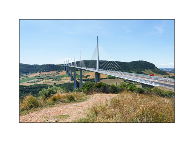
12. After having some lunch there, we take the road again towards the Gorges du Tarn.
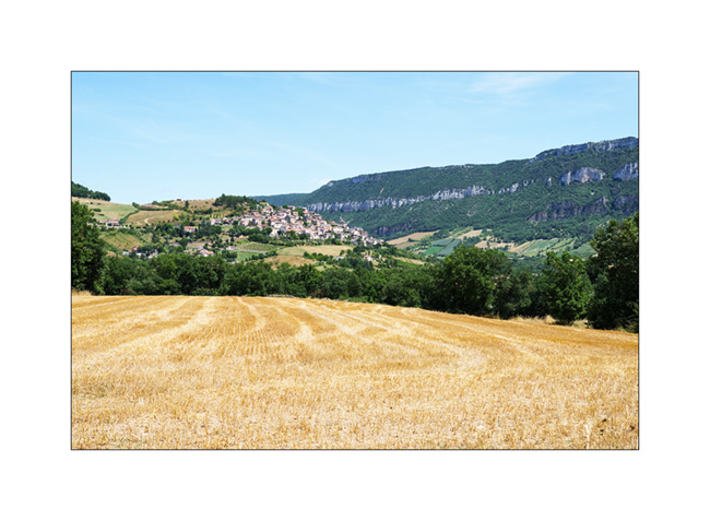
We will discover several beautiful natural arches that we will show you in the next article. 🙂
Back in France…
As announced in the previous post, we are back in France, on the northern slopes of the Pyrenees. We go to discover Navarrenx, a pretty fortified little town about 25 miles West of Pau.
1. One of the entrances of the city.
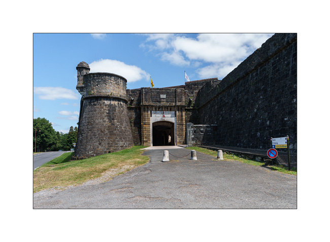
2. Patrol path…

3. A beautiful courtyard.
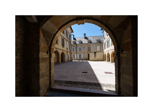
We had promised ourselves for a long time to share a campfire with friends from the Pau area, Fred and Martine. A few years ago, they bought a small camper that allows Fred, an accomplished landscape and wildlife photographer, to travel for his passion.
Passing through the region, I texted him and the stars aligned so that we could share a nice altitude bivouac. Fred sent me GPS coordinates of a spot easily accessible by a good trail where we could meet up.
4. In the middle of the afternoon, we are the first on site.
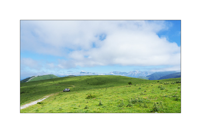
5. A few Pyrenean peaks surround us.
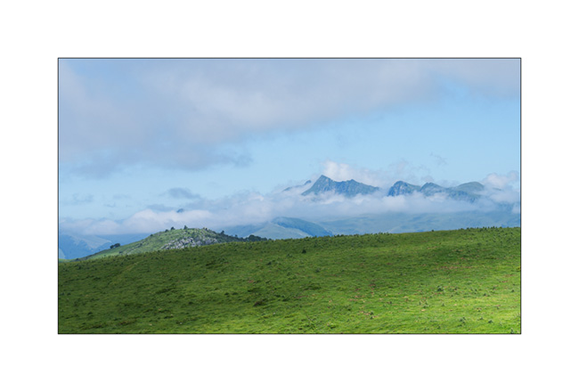
When Fred and Martine arrive, the last section was a little too rough for their little camper and we go back down a mile to meet them and find ourselves a spot easier to access.
6. After the aperitif and lighting the campfire, it’s time to prepare the dinner.

Photo FredW
7. On the menu: melon and ham starter, then lamb chops with ratatouille cooked over the wood fire. Yum!
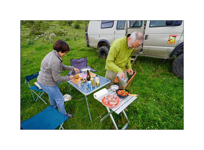
Photo FredW
8. Cooking…

Photo FredW
9. What a great evening with friends! Martine and Fred, thank you for your kindness and for this great time.
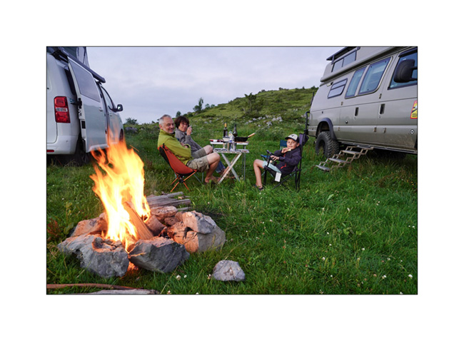
Photo FredW
10. Time to go to sleep…
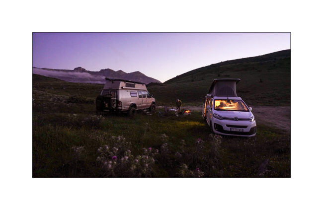
Photo FredW
11. The next day, I get up before sunrise to enjoy the morning atmosphere….

12. First rays on our camp.
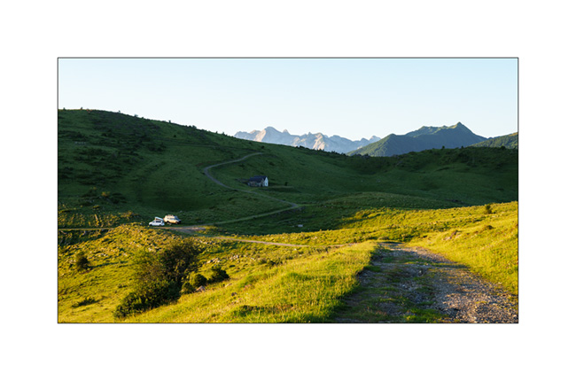
13. The plain North of the Pyrenees. The city of Pau is hidden by the mist.

14. On the other side, the first peaks of the Pyrenees.
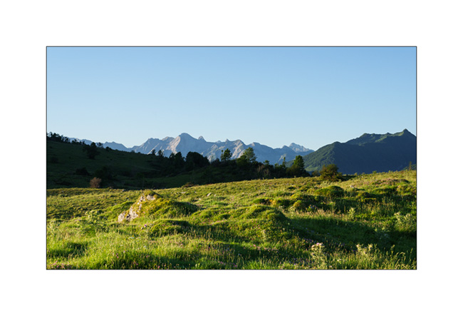
15. I go back down to our camp.
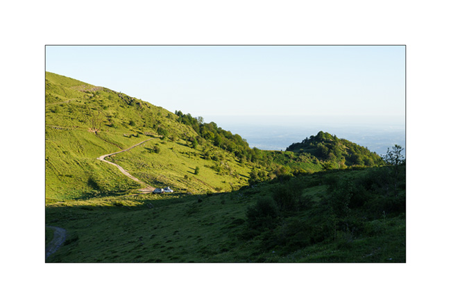
16. It’s time to pack up camp and say goodbye. We promised to do it again another time!
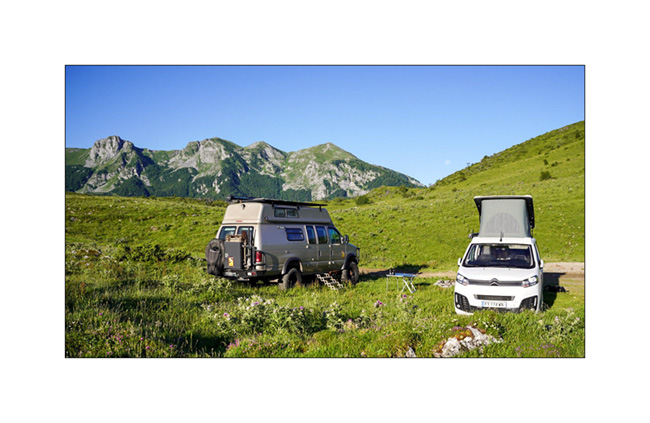
Photo FredW
More soon with the discovery of a rougier and an impressive bridge…
Thank you all for your loyalty to this little blog.. 😉
 D5 Creation