
Archives
now browsing by author
San Rafael Swell
Continuation of discovering this region less known and yet not far from Moab.
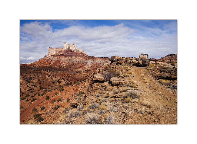
1. VivaLaVida on a little-used trail that circumvents Temple Mountain.
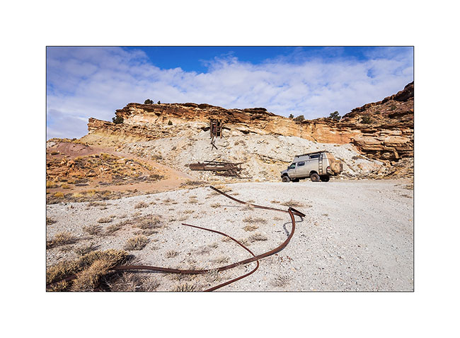
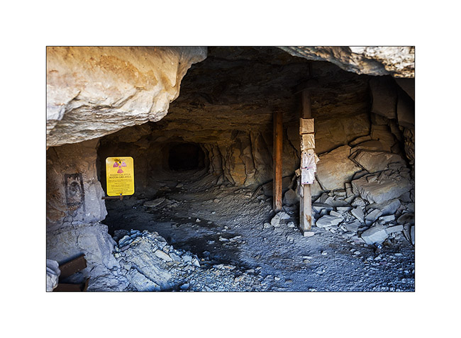
2. They are many old uranium mines in the area.
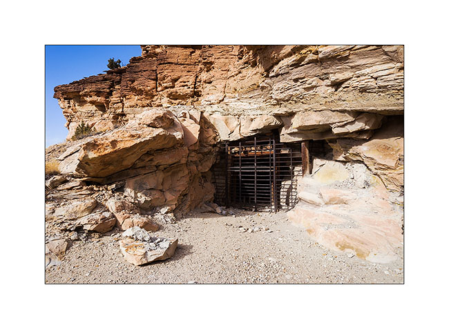
3. They are of course closed.
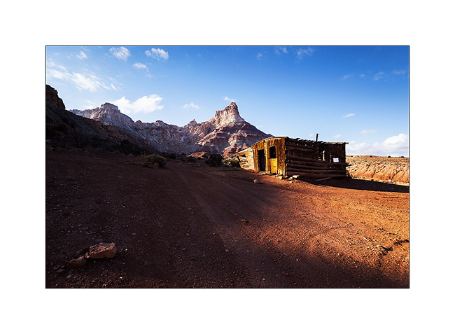
4. On the other side of Temple Mountain remains the “cabin” which housed miners.
5. Mining access corridor.
6. VivaLaVida going down the beautiful North Temple Wash…
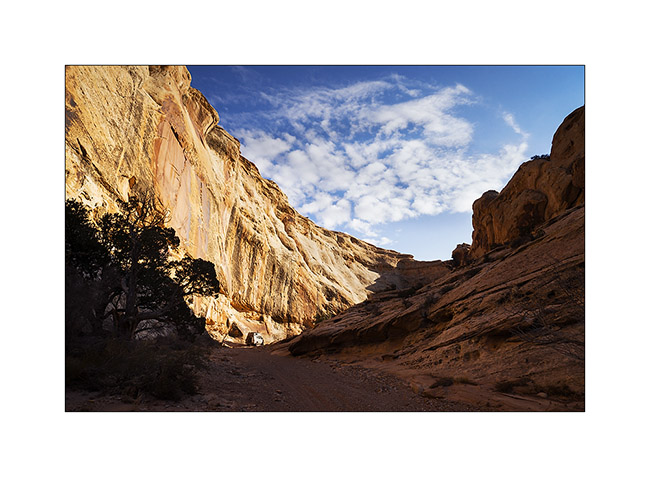
7. … driving in the course of the wash.
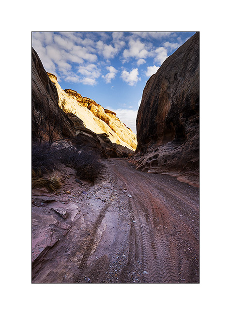
8. The output is a little narrow.
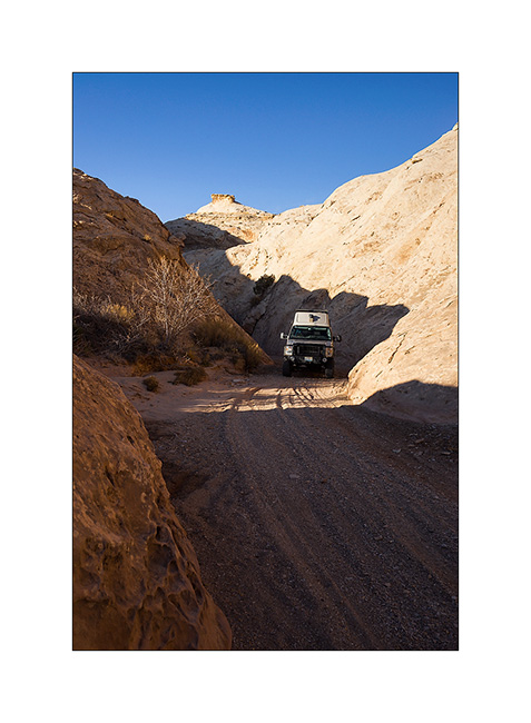
9. Splendid petrograph panel in the South Temple Wash.
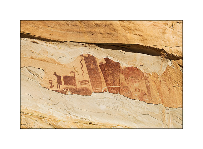
10. The white dots are not of the same time, just a idiot who shot this exceptional site… The weapons are all over the US, unfortunately.
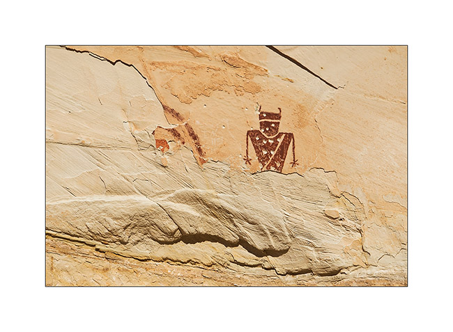
11. Going to the mouth of another canyon that I will explore the next day, I discovered a source…
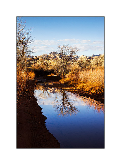
12. Late afternoon reflection…
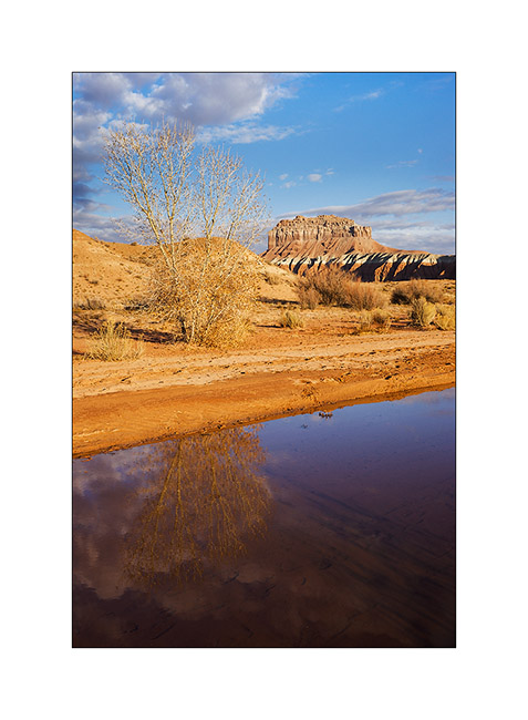
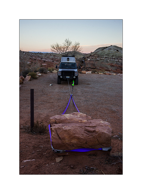
13. Having discovered that the bolts that connect the front axle with suspension springs were loose, I had to make some winching to realign the front axle before tightening… 😉
The next day I made a big hiking loop, up Little Wild Horse Canyon and back down through Bell Canyon.
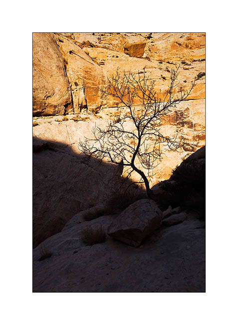
14. Silhouette…
15. Entering Little Wild Horse slot canyon.
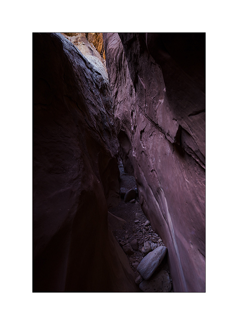
16. End and deep trench in which we sometimes have to go sideways as it’s so narrow.
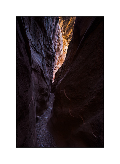
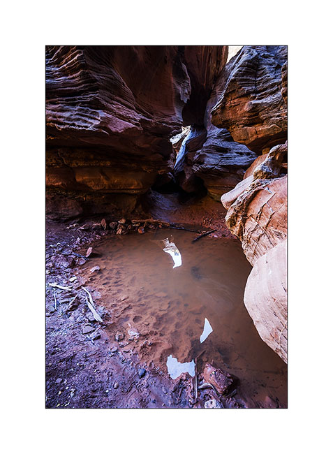
17. Some water remains in places.
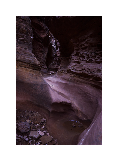
18. I imagine water flowing into these curves…
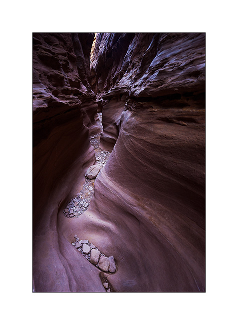
19. Labyrinth…
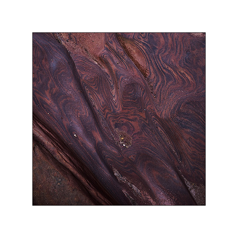
20. Some veining of sandstone are incredible.
21. Going down through Bell Canyon
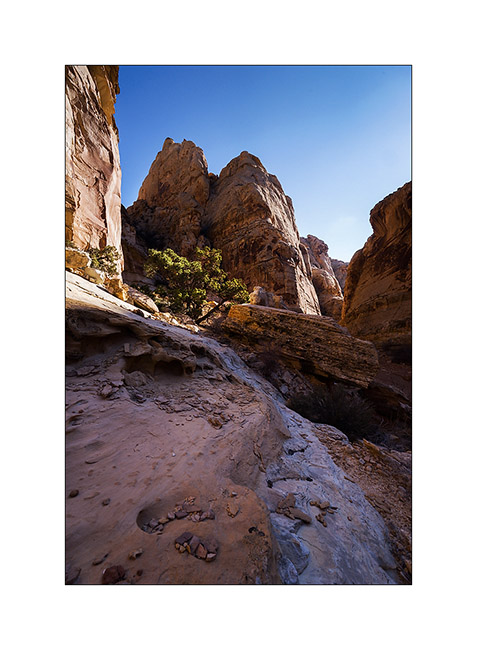
22. Convergence…
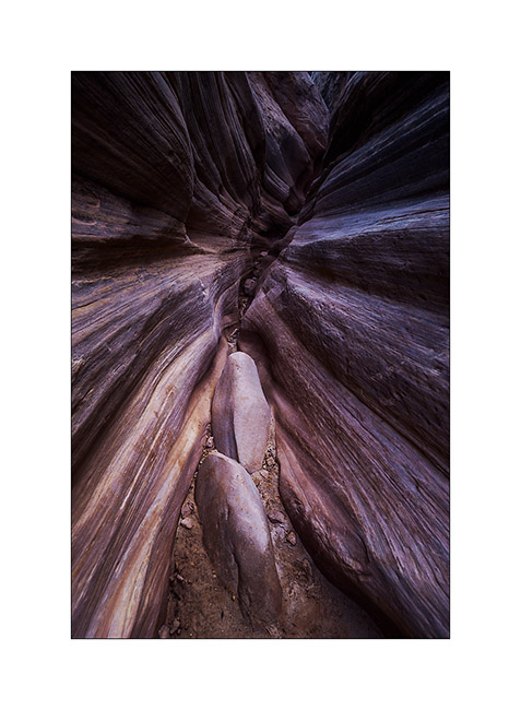
23. Oui, it’s the right way! 😉

After this hike, I discovered by chance a nice area that I will present soon. 😀
Ruins and canyons
At a small meeting with Tom, aka Zeta on Sportsmobile forum, he advised me to visit the Hovenweep National Monument, a site where are grouped different Anasazi ruins. When I went there, it was raining but I still visited seven different sites.
1. The Twin Towers, on the main site in Utah.
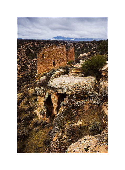
2. Hovenweep Castle and Square Tower. These sites were all built on springs and have likely been built to protect those They were all built between 1220 and 1280, were inhabited by three generations before being abandoned for unknown reason.
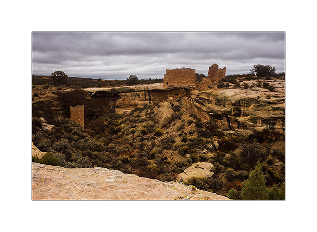
3. Hovenweep Castle, consists of two horseshoe towers and a large main house.
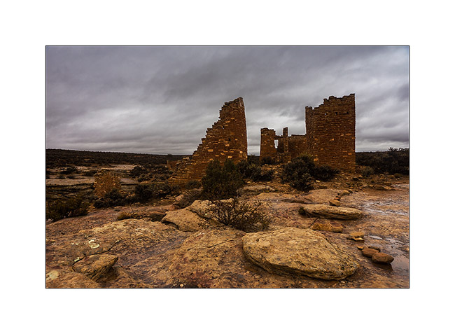
4. We go to Colorado, just ten miles away, at Holly site. Amazing how these builders were able to anchor foundations on vertical blocks of sandstone.
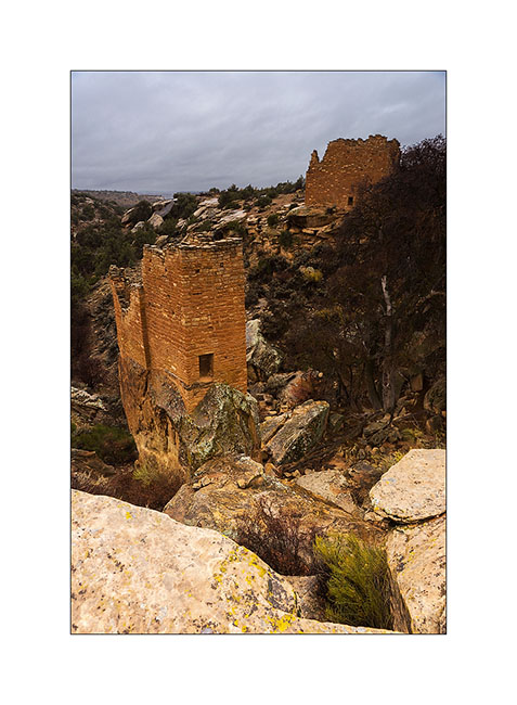
5. While walking through the canyon of Holly, I spotted this petrograph symbolizing the sun.
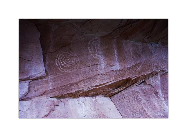
6. Here is the Horseshoe ruin, an house shaped like a horseshoe with double row walls.
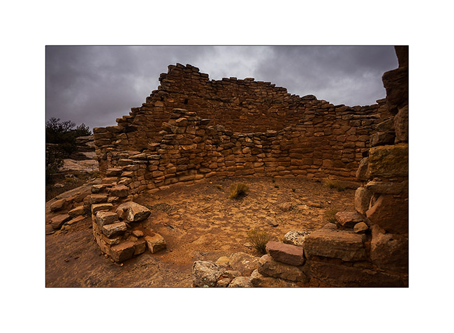
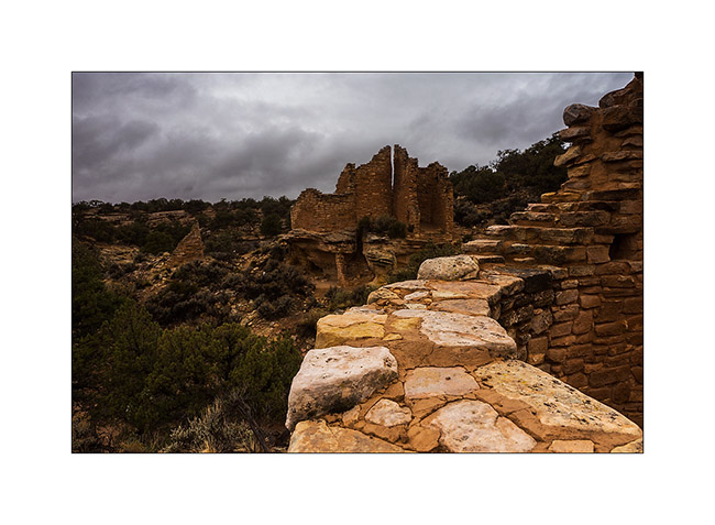
7. Farther, the Cutthroat Castle. Yet the Anasazi Indians were farmers, not warriors.
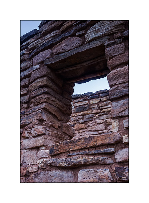
8. A well-preserved window. The covered – a large flat stone – is ensured with two poles of juniper.
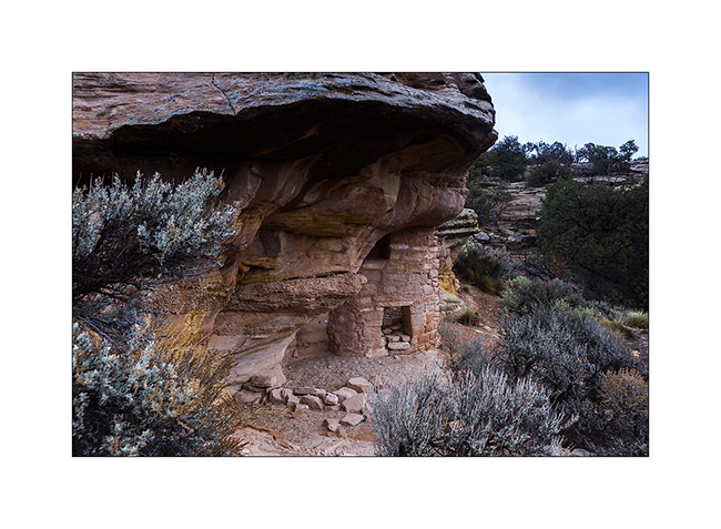
9. At the foot of the sandstone block on which the castle sits, there are other structures, probably granaries.
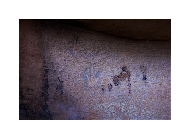
10. Not far away, a known petrograph: Painted Hands. It dates as the ruins of the 13th century.
11. On the site of Cajon, again in Utah, the spring still exists and was protected by two walls.
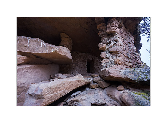
12. Some petroglyphs in Cajon Cayon.
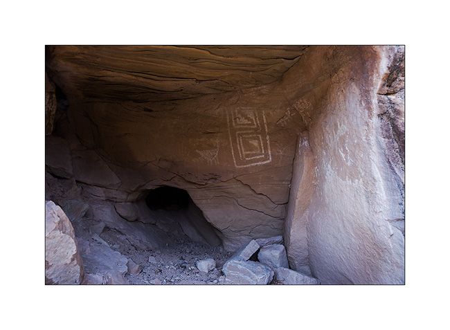
A part ordered for VLV still not arrived, I went to spend a few days in South San Rafael Swell, beautiful region that contains many canyons.
13. It is rather gray and very cold when I enter Crack Canyon.
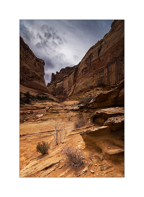
14. This is not really a slot canyon but some portions have beautiful overhangs dug by flash floods.

15. This is the narrowest part.
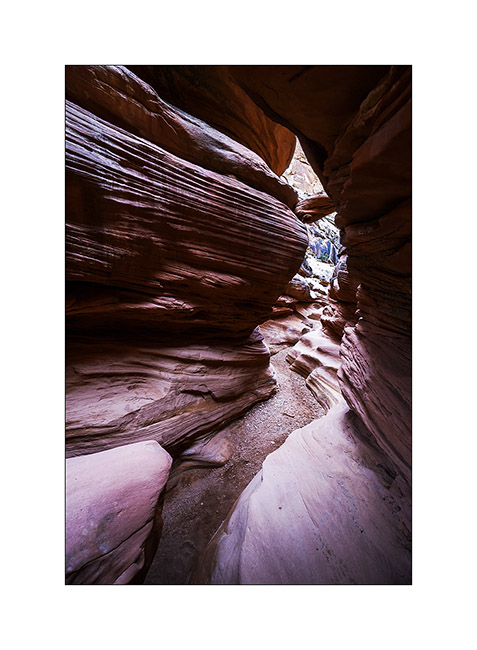
16. Columns carved by wind and water…
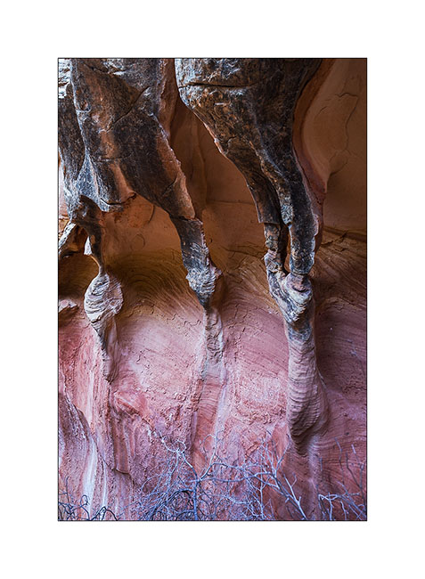
17. Sandstone colors…
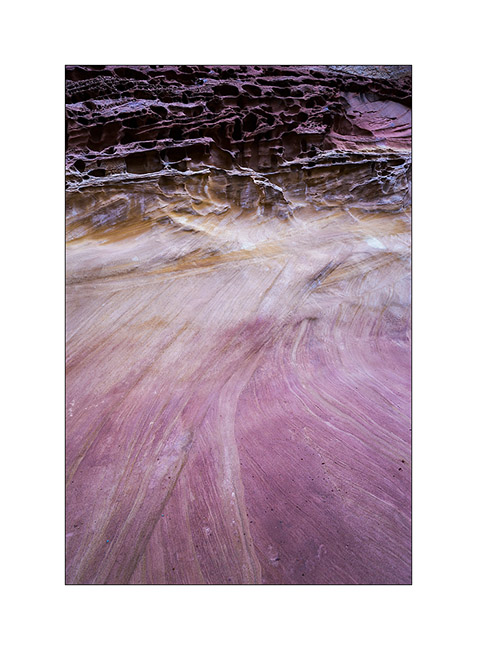
18. Pot…
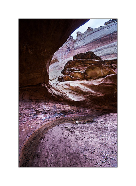
19. Late afternoon on Temple Mountain with finally some sunshine…
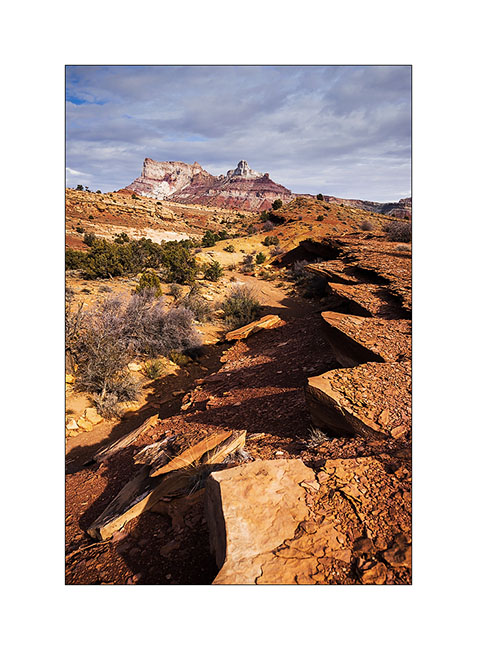
More to come in San Rafael Swell soon. 😀
Sandstone around Moab
Leaving the Beef Basin, I had the good surprise to find a message from Hans, a Swiss who lives here with his wife Madeleine for 35 years. I was greeted like a king by this adorable couple, not forgeting to specify that Madeleine is fine cooker. 😉
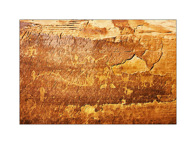
They explained me how to access a petroglyph site within walking distance of their beautiful home nestled on a sandstone hill.
1. What a privilege to discover this private site where access is usually closed!
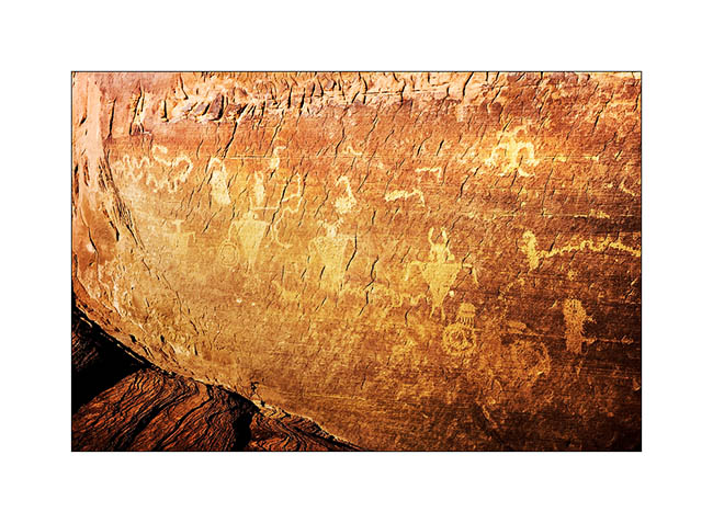
2. I have found some symbols already observed elsewhere.
3. The next day and despite his 80 years, Hans brought me drive the Sevenmile Ridge Trail, a 4WD trail listed red (the most difficult) which passes near Uranium Arch.
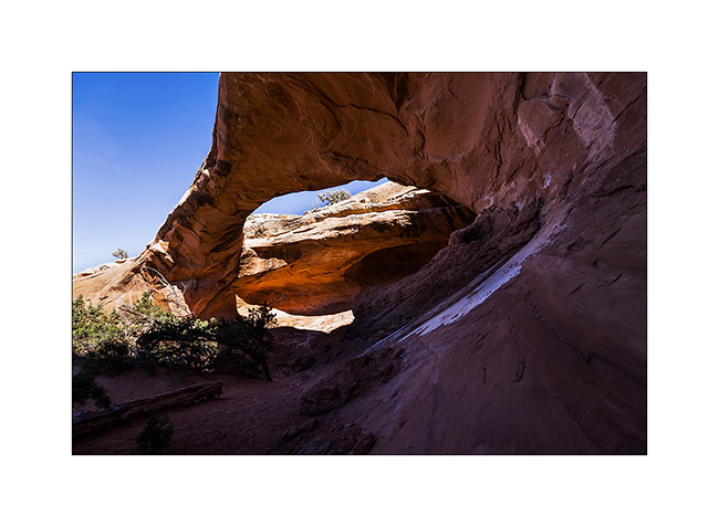
4. It’s a nice medium sized arch.
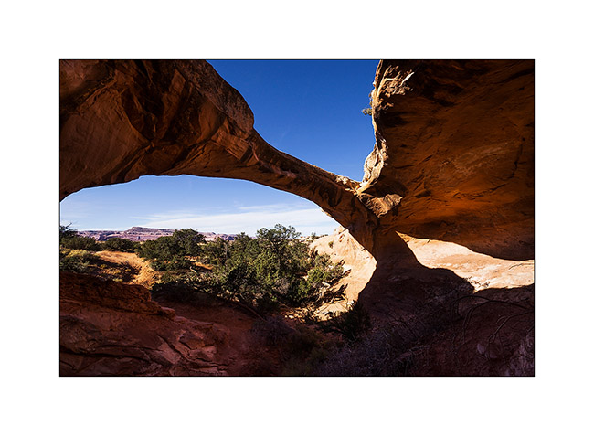
Near this arch, we met a couple from Colorado, Dave and Leanne, a little lost because their trail description was out of date. They followed us throughout the rest of the trail and took images of VLV in downright cool passages, especially a leaning spot that I really wasn’t sure how to deal with VLV high-pitched on her wheels. They sent me some pictures to discover here…
5. Steep hill leaving the arch.
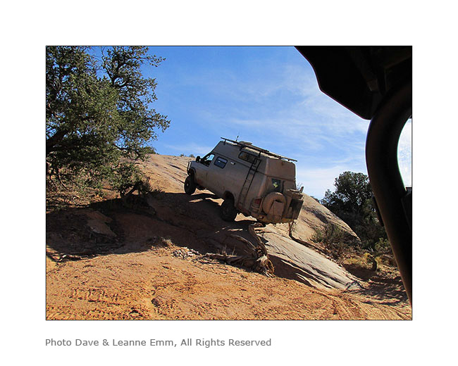
6. It’s like David and Goliath, isn’t it? 😉
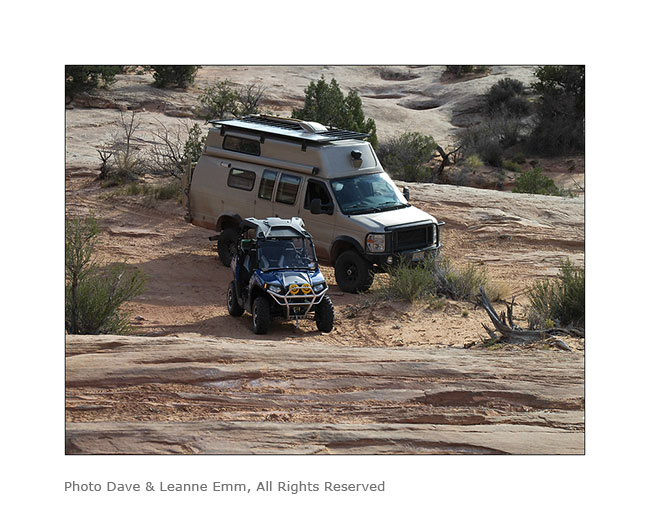
7. Here is Hans spotting me on the step to access to the leaning spot..
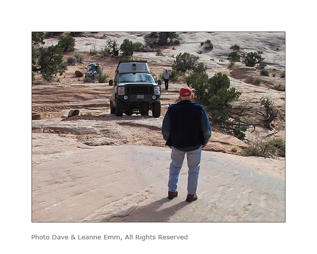
8. It doesn’t seem so but this entry is rather steep, with a good step!
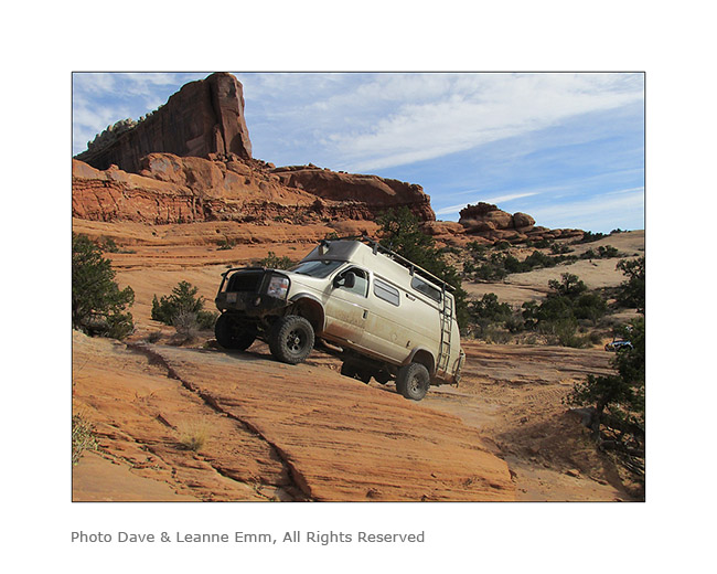
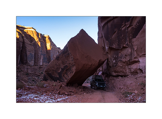
9. and here is the off camber spot. It leans quite a bit despite the left suspension fully inflated and the right one completely down..!
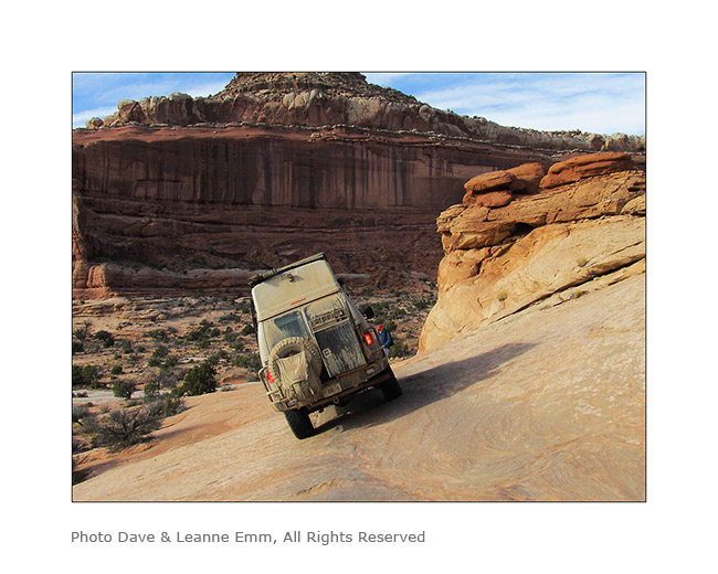
10. After VivaLaVida it’s Dave who goes through in his 50 inches wide only vehicle. I indicated him the line to follow. Well done Dave ! 😀
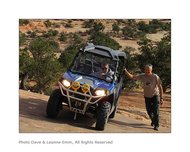
I want to say a huge thank you to Hans and Madeleine for their so warm welcome. I had such a great time with them. 😉
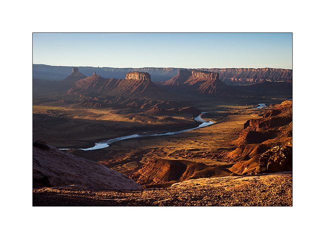
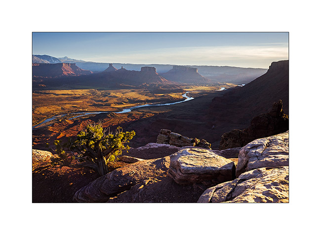
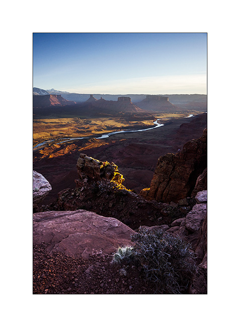
Hans recommended me a spot on the Dome Plateau where I had already spotted a natural arch. Leaving them, VivaLaVida took the path of this view that I discovered the next morning.
11. Colorado River and Castle Valley in early light…
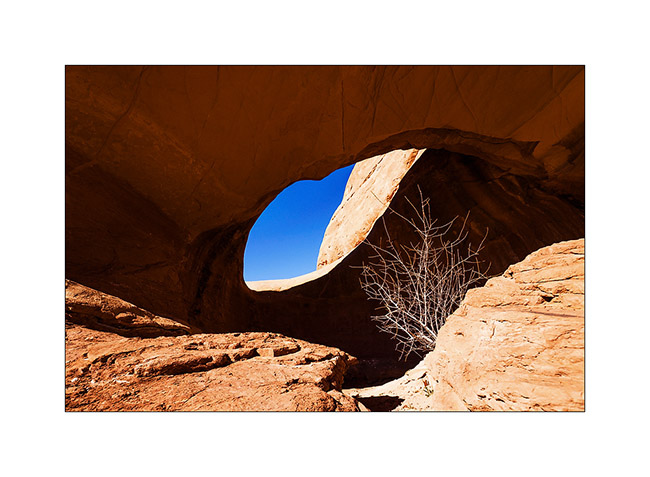
12. Not far away, I went to discover La Boca Arch, a small pretty massive arch.

13. A bush managed to grow under the arch…
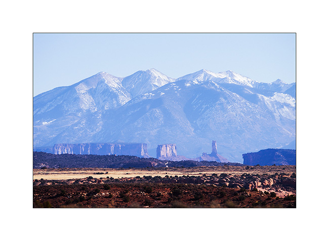
14. Castle Valley towers in front of La Sal Mountains.
15. On my way to natural shelters, the famous herbs that are seen in Westerns rolled by the wind have almost eliminated the trail… 😉
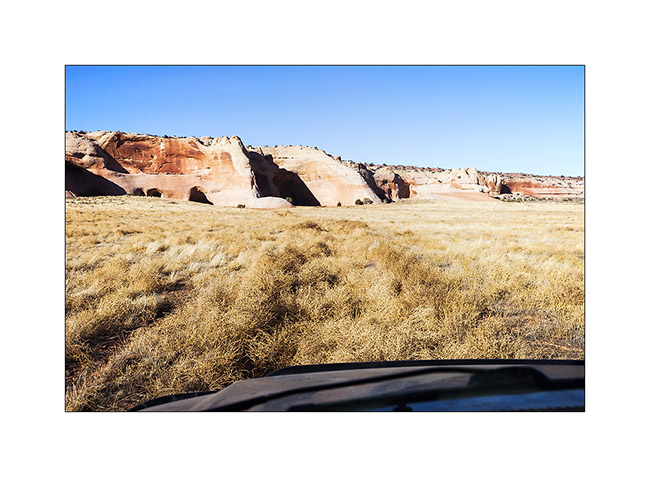
16. Here are sandstone cavities inhabited by Indians several hundreds years ago. One of them houses a source.
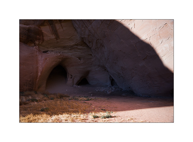
17. The bluff above is polished by the elements.
18. The lower cave is quite deep and some water oozes from the walls in places. The soot of inhabitant’s fires is still present (left of the entrance on this image).
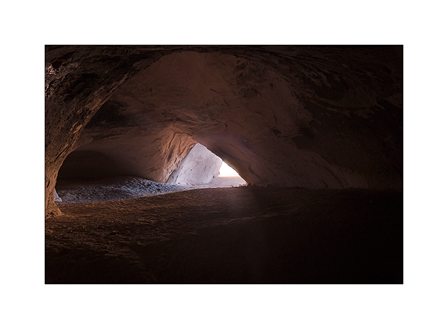
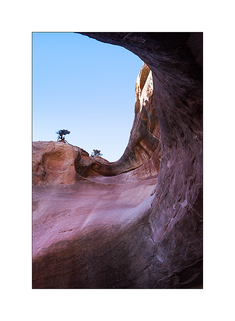
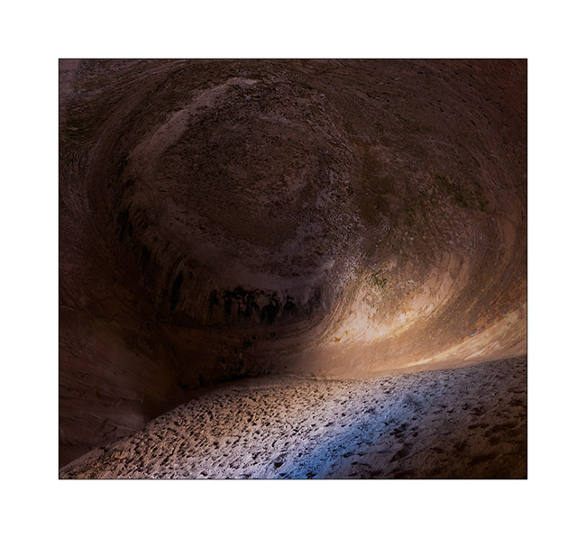
19. The top one’s ceiling is shaped in a quite photogenic circular vault.
20. Back to the overview in late afternoon.
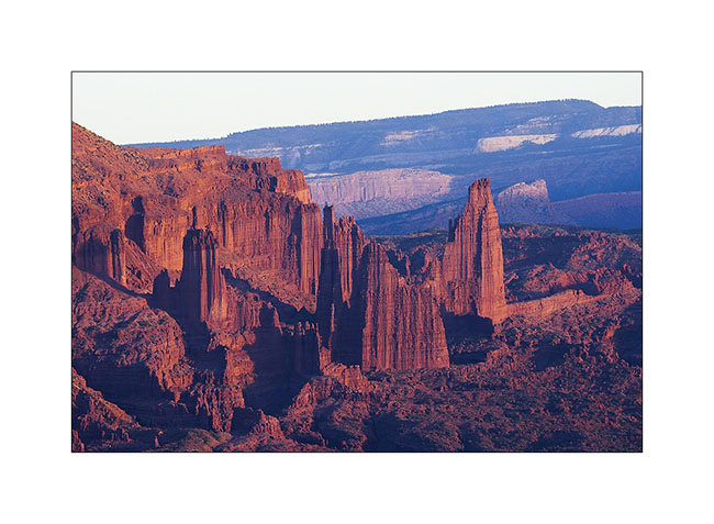
21. Very red material of Fisher Towers is colored by the sunset light.
22. Last sunrays over Castle Valley.
More to come soon. Once again, thanks for your loyalty! 😀
Still in Beef Basin…
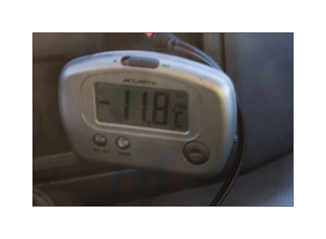
1. It begins with a blurry picture! 😉 Just to show that it was chilly that morning…
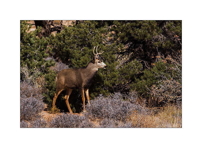
While I was getting ready to break camp, I noticed a young stag who seemed a little nervous. I decided to approach it to try to photograph it.
 
2. After 15 minutes of approach, I crouched beneath a juniper not far.
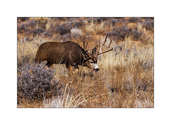
3. Forty minutes later, as I tell myself I’m gonna go back to VivaLaVida, I saw a large male tumbling.
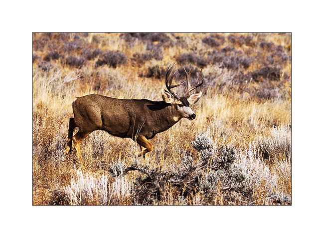
4. In fact, he was folloing a female as it’s the full rutting season. And the female had the good idea to walk fifteen feet in front of me without seeing me!
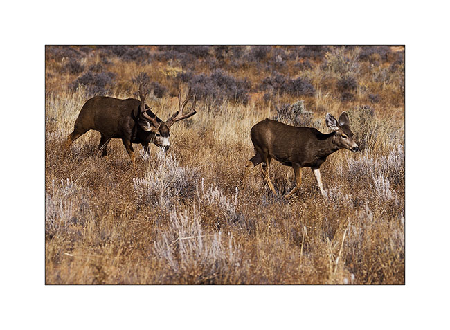
5. What an animal and what a meet… I’ll even get to see a mating the next day, about thirty feet away.
6. VLV have now to drive the trail back…
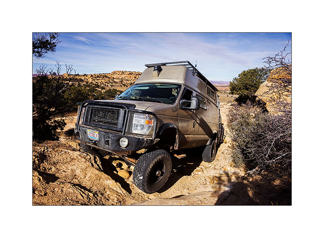
7. Nice wheel up… 😀
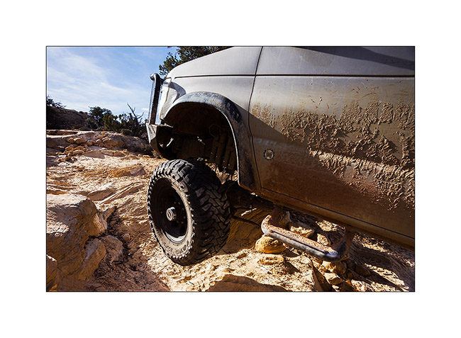
8. … And quite steep downhill.
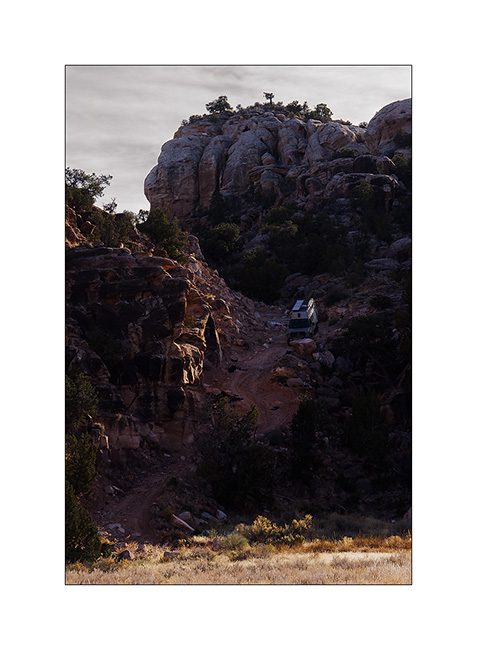
9. That’s where we’re coming back.
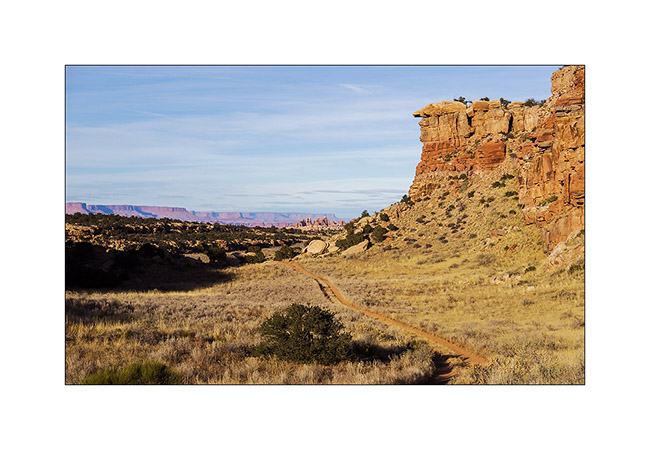
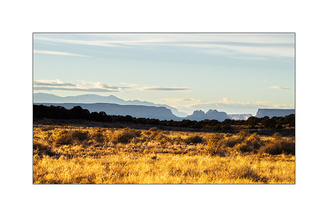
10. On the other side of the Colorado River, Orange Cliffs and Sunset Pass where we slept with Jean-Luc last Spring.
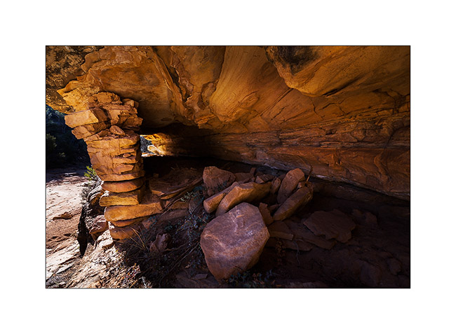
11. Still in Beef Basin, while going down a side canyon to discover a permanent spring, I saw this Indian granary on a cliff.
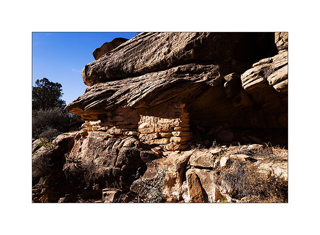
12. I manage to go up the cliff to show you the inside. Both ends have collapsed or have been opened.
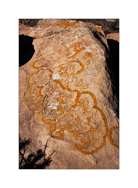
13. A pretty lichens and fungi that can be seen on certain blocks of sandstone.
14. Having spotted a very red cliff I went to explore, I had the chance to discover on the way this beautiful Indian granary. It is not on any map and excepted archaeologists who studied the area, few people must have seen it as it is away from everything.
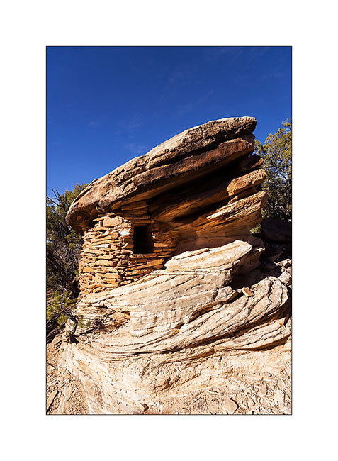
15. This is certainly one of the most aesthetic that I could see to date.

16. Nearby, there are several ruins of houses.
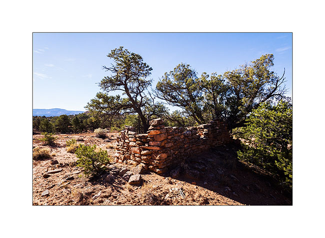
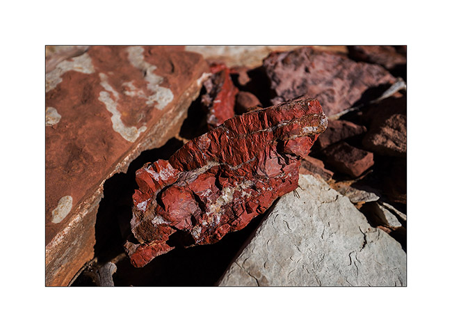
17. The cliff above have a very red layer of the same rock I saw in Fort Bottom called Chert, a kind of silex.
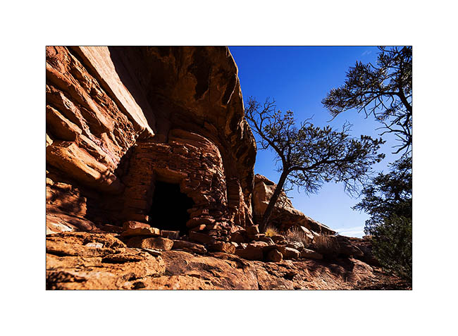
18. And I’m still discovering another granary also almost intact.
19. Time to leave Beef Basin but on the road, a strong antifreeze smell made me stop. A powerful jet escapes from one of the pipes of the VivaLaVida’s engine preheater!
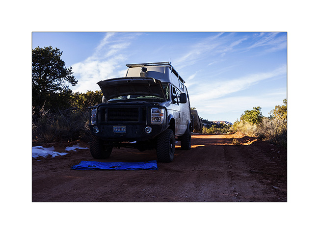
20. Temporary repairs with duck tape and hose clamps. We need to join Moab, a almos 100 miles away…
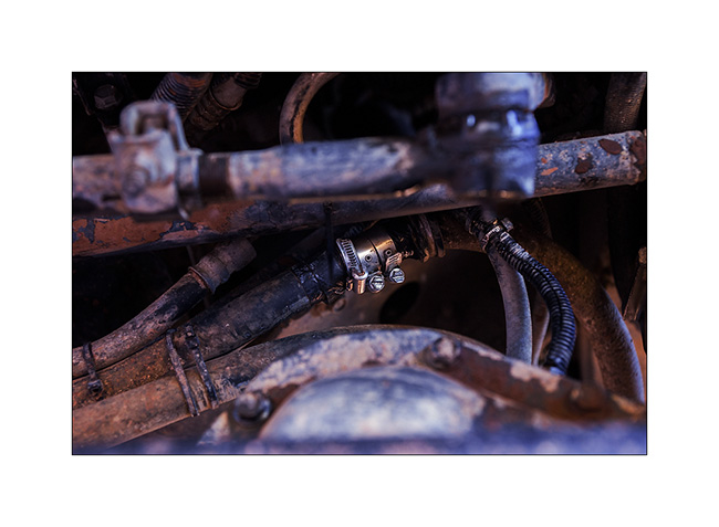
I will succeed the next morning and replace the pipe in question, which rubbed against a piece of metal because of a broken ziptie. I take this opportunity to do some other small works and replace the heim joints of the sway bar that had taken much of play.
That’s it for my exploration of the beautiful Beef Basin, a place that is worth the trip. See you soon. 😉
The journey map is available again!
Thanks to Christine that noticed the issue, it should be fixed now. 😉
Ruins in Beef Basin.
Despite snow announced in the mountains, VivaLaVida headed south of Moab in the Beef Basin, an area which was the wintering place for Atabascan Indians between 2,000 and 700 years ago. It contains many relics like ruins and petroglyphs or petrographs.
1. Some tracks that VLV borrows are not hardly frequented…
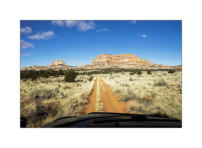
2. Here is a first ruin Southwest of Beef Basin. It dates from the end of the period, about 700 years ago; its rectangular shape attests.
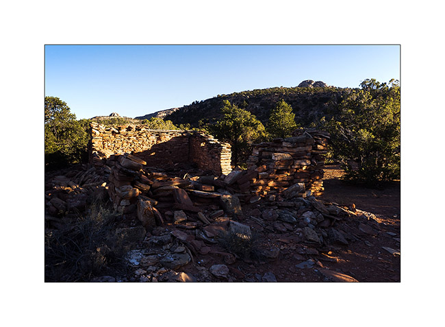
3. Remains a doorway of which the covered stays by the force of the Holy Spirit..!
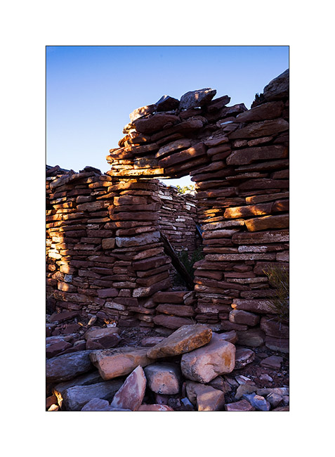
4. First day after the black moon…
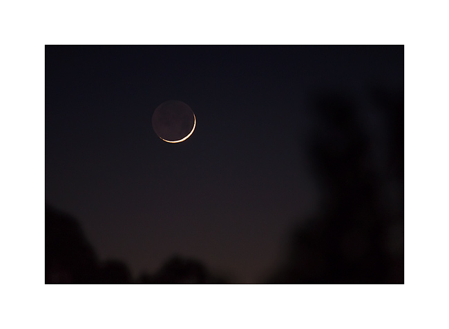
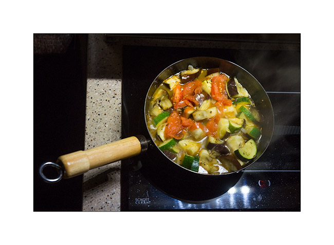
5. As it was already 24F around 7 PM, I cooked a good vegetables stew to warm me up!
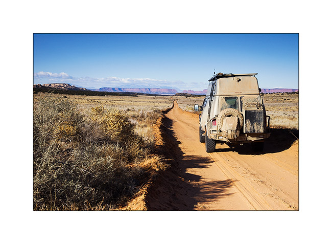
6. Arrival in the grasslands of Beef Basin.You cannot see it but it was 20F when I took this picture.
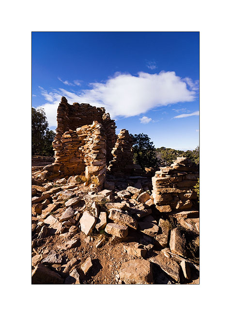
7. The most well known ruin as it’s close to the trail. An ancient tower which there remains a wall angle.
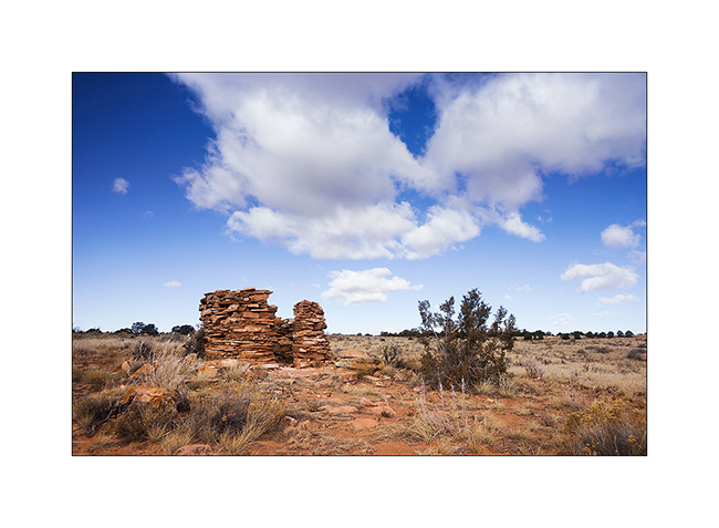
8. Further away, here’s a small round tower.
9. After a short walk, I arrive to one of the best preserved ruins of those I had spotted the coordinates. There are still two windows intact.
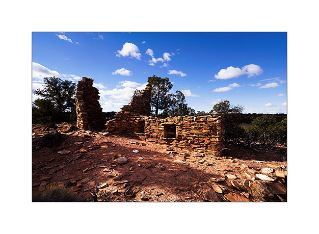
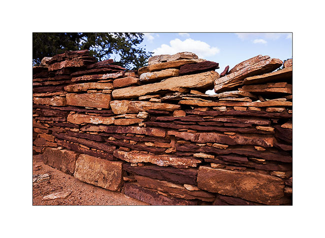
10. There is also still the mud to stanch the walls.

11. Wall details.
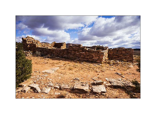
12. Here is a community farm, larger, with different rooms.
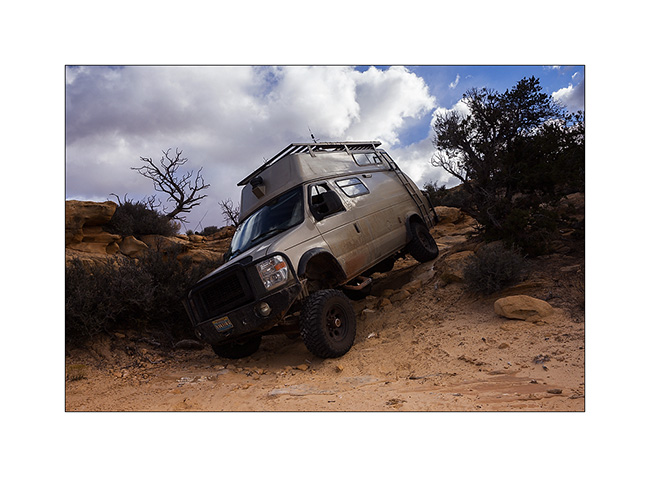
13. I decided to lead VivaLaVida to a promontory above Gypsum Cayon, with a rather chaotic trail.
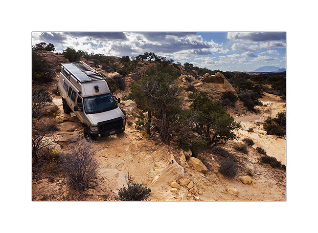
14. Fortunately is wheel travel huge!
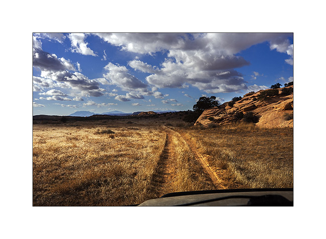
15. Approaching the end of the trail, the prairie stretches before us again.
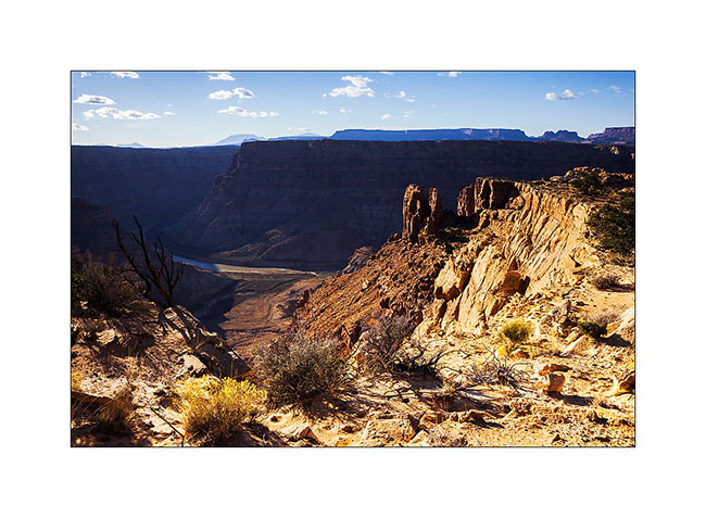
16. The mouth of Gypsum Canyon on the Colorado River.
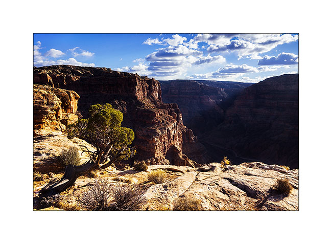
17. Gypsum Canyon deep, inaccessible from here.
A nice meeting to tell you in the next update. 😉
On the left bank of the Colorado…
Near the end of the White Rim, I hiked to Fort Bottom, in the middle of a meander of the Green River.
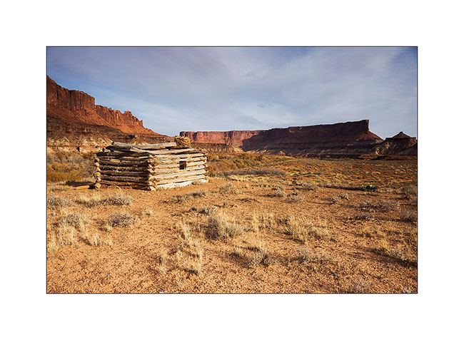
1. Remains the “cabin” on a river bank. It is almost 200 years old and housed tuberculosis patients who were sent here to end their days…
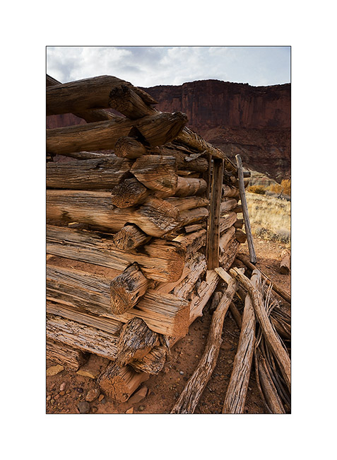
2. Build details.
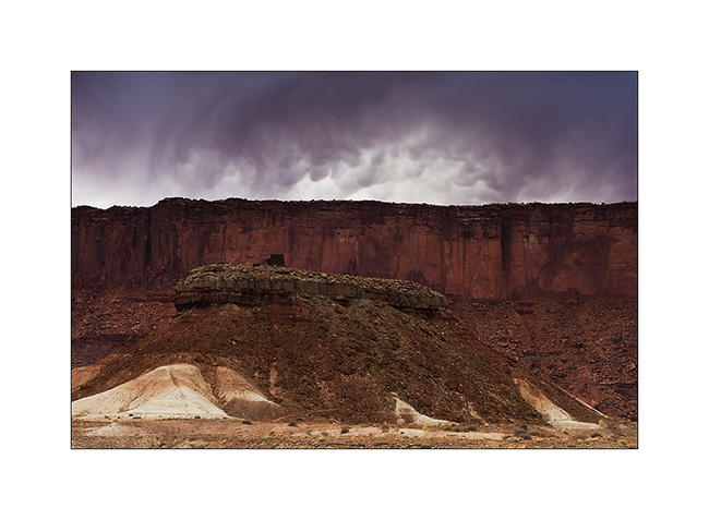
3. On the hill in the middle of one meander of the river, there is this double round tower.
4. Here it’s it closer. This is an Indian building dating back to about 1200. We do not know its function.
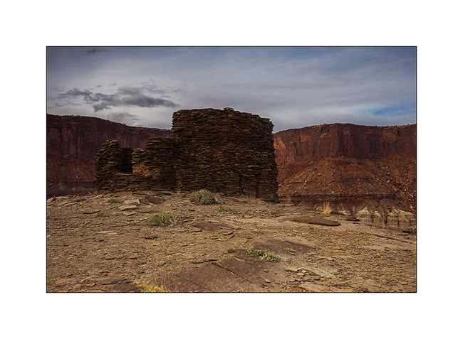
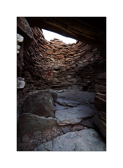
5. I sneaks myself inside, being careful not to shake the fragile ruins.
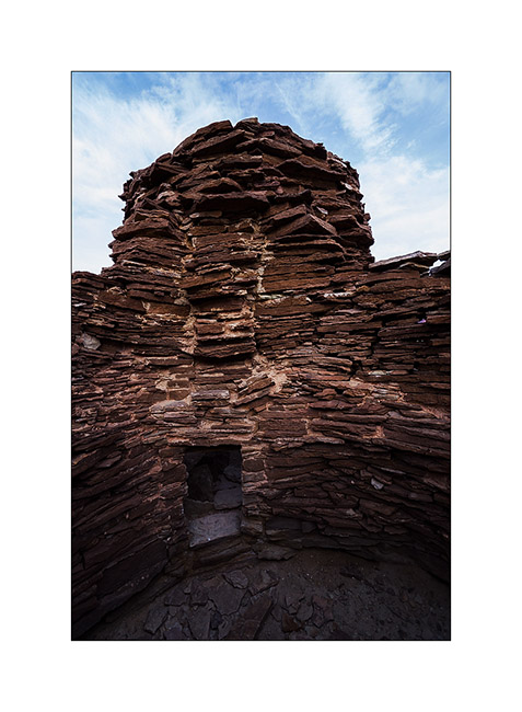
6. The floor of the main tower don’t exist anymore…
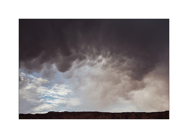
7. While I go back to VivaLaVida, curious clouds catch me up.
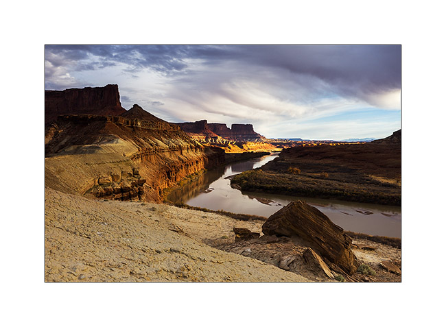
8. But I get some nice light over the river.
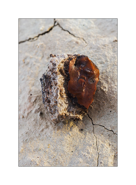
9. Fred, we need your geologist knowledge! 😉 In some areas, there were many stones like this, with a slightly chalky appearance on the outside but inside glassy, that really made me think of red flint including white crystals in zones, almost translucent sometimes. Do you know what it is?
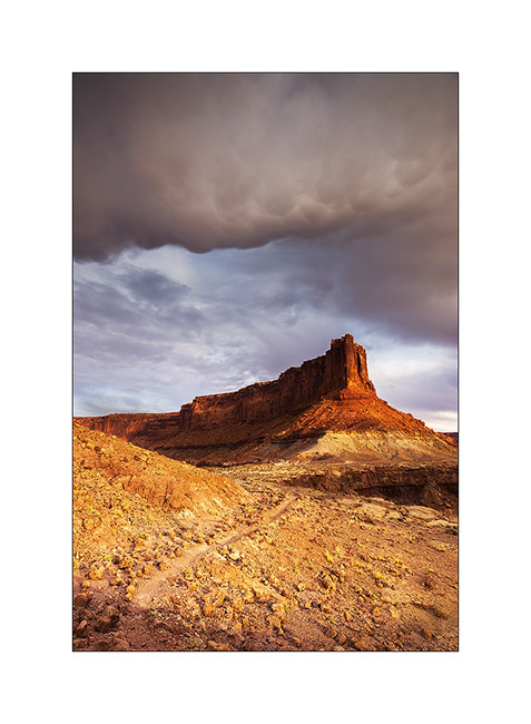
10. Amazing atmosphere of the surrounding cliffs. But no drop will reach the ground…
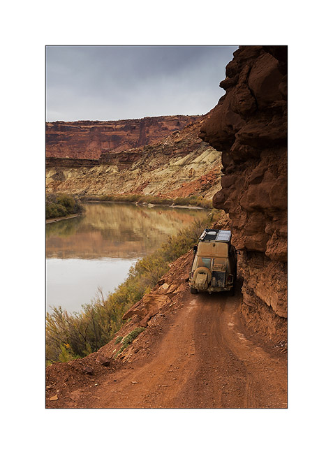
11. Vivalavida coming out of the White Rim trail the next day by a gray sky, with a final passage a little “tricky” for her size.
I then went to sleep to Hurrah Pass I reached at night, to go to discover a Colorado viewpoint in the morning.
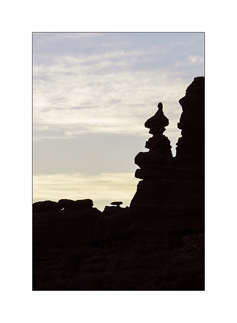
12. Unbelievable! At dawn, he was there, the famous troll I had already thought to glimpse, sitting cross-legged and watching his top spining…! 😀
13. A quite hard path of the trail with a nice step.
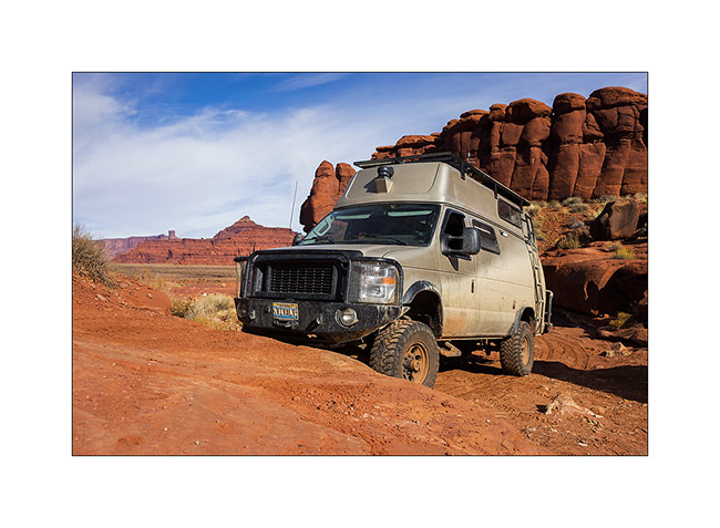
14. It’s quite high, isn’t it!
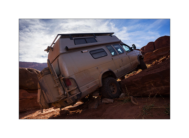
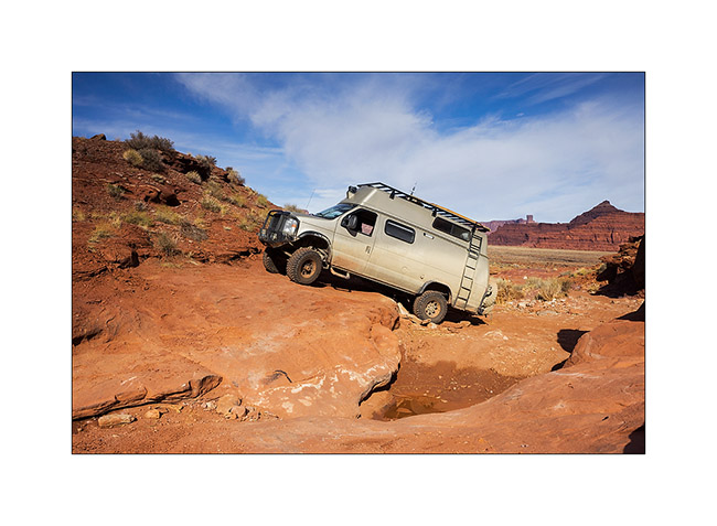
15. But nothing to stop VLV which is already on the next one!
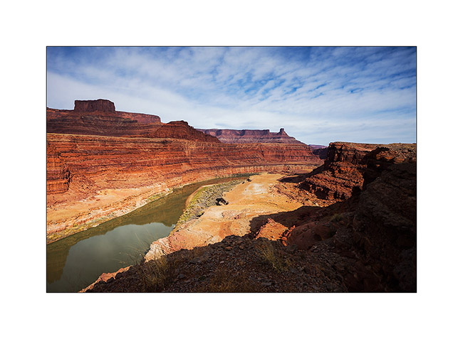
16. The viewpoint was gorgious…
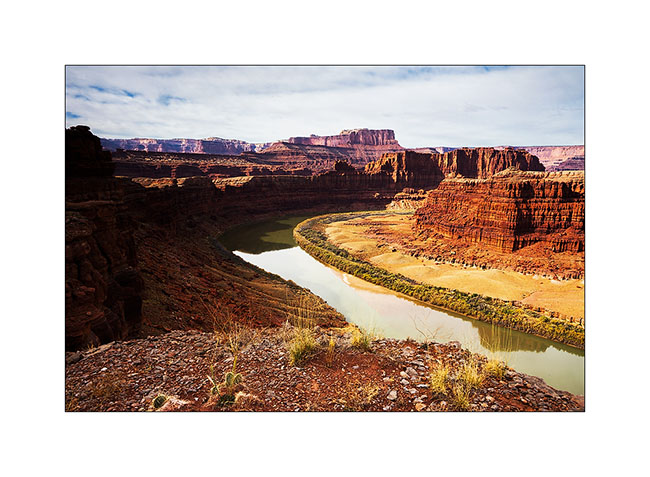
17. … on both sides.
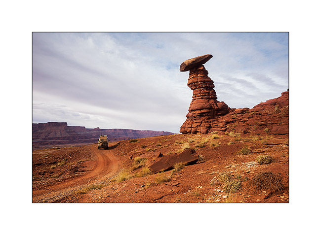
18. Him, it is probably not a troll, but he seemed to look VLV passing, as a kind of alien looking an insect ahead… 😉
That’s it for today. More to come soon…
Still Canyonlands…
No way to risk to stay stucked in so much snow, I preferred not to cross the pass that would lead me to the other side of the La Sal Mountains and went to Warner Lake driving around the mountains. I already discovered this little mountain lake in a previous trip and wanted to see it in its winter coat.
1. Late afternoon light on the Warner Campground, obviously empty at this season.
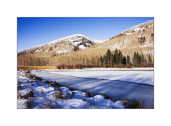
2. Beautiful frozen Warner Lake.
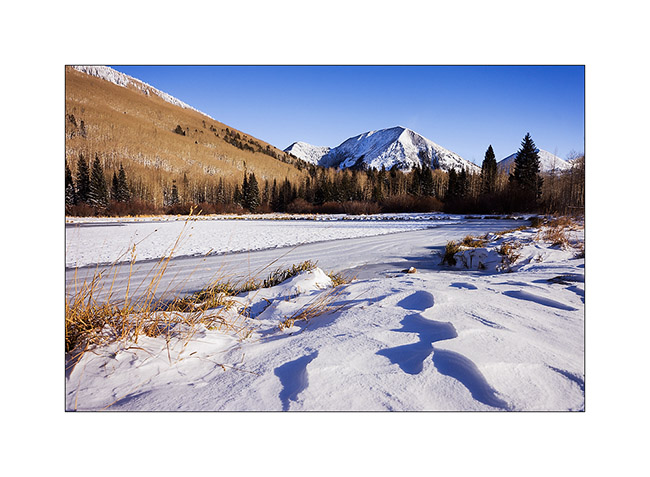
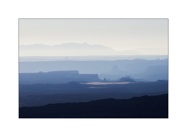
3. As the weather forecast indicated 12 F in Moab, over 3,000 meters below, I went down for me to find a campsite less exposed to cold. The view over Canyonsland and Henry Mountains, over 0 miles away, was splendid.
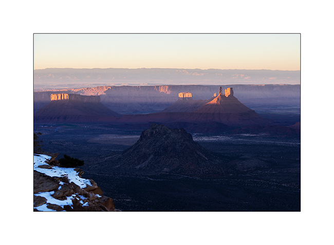
4. I found a better sheltered spot above Sand Flat, near an overlook over Castle Valley, a picture of the Far West at sunset…
The next day, session welding because I discovered that the bracket supporting the engine preheater was broken. Again and again the vibrations of the dirt roads… So I went late to Long Canyon.
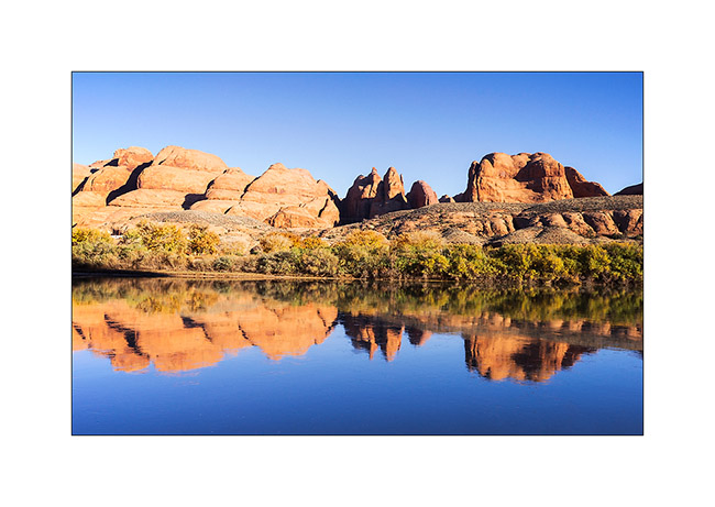
5. The Colorado River reflecting the Moab Rim.
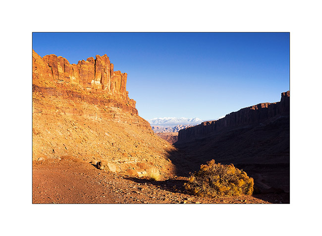
6. Going up in Long Canyon, With La Sal Mountains in the back.
7. The famous spot in Long Canyon ; Souvenir photo stop required! 😉
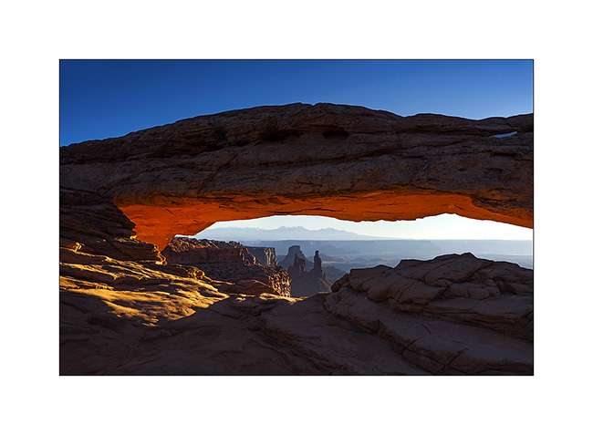
8. The next morning, I got up early to go to Mesa Arch at sunrise. A photo that I’m not the first to do but I like it…
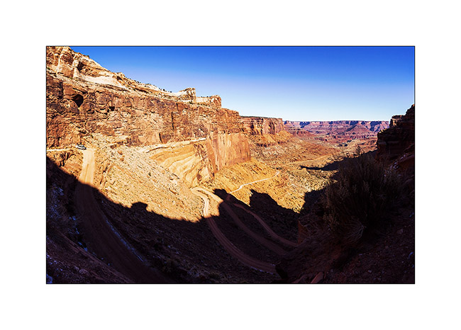
9. VivaLaVida then went down the Schafer Trail to get to the White Rim Trail. Beautiful downhill in the vertical walls! VLV is quite small up there…
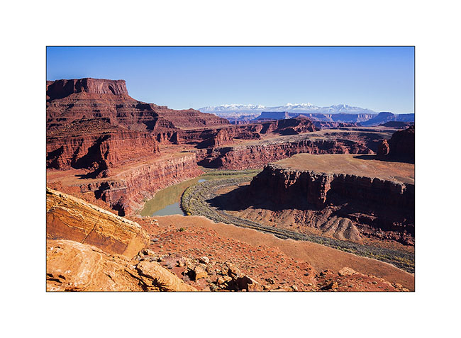
10. One of the meanders of the Colorado from the White Rime Trail.
11. Self-portrait at Musselman Arch, quite aerial… 😉
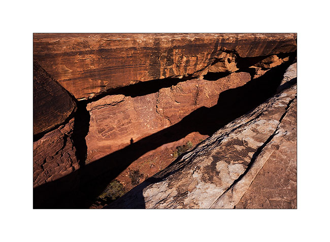
12. The towers that appear Under Mesa Arch, but this time from the bottom.
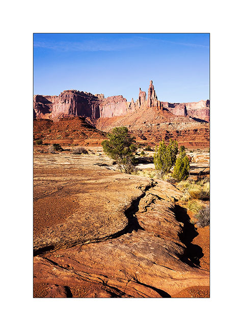
13. One of the huge overhang that crosses the White Rim…
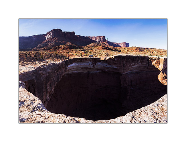
14. In Canyonlands, there are number of canyons and arches everywhere. The White Rim Trail takes its name from the clear limestone layer that it follows over 100 miles.
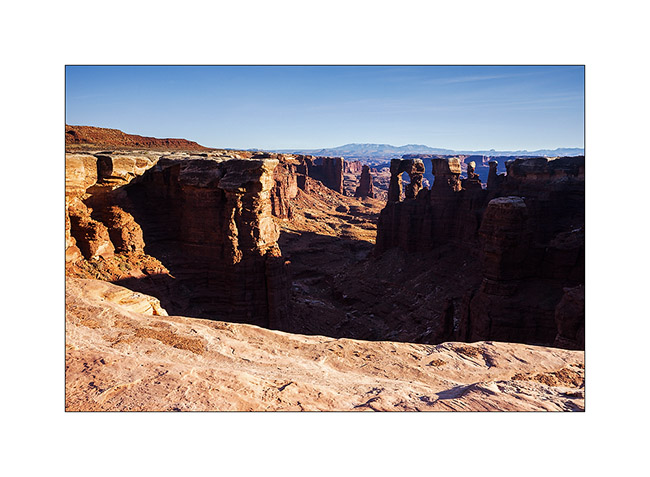
15. From Whitecrack Campground where I spent the night, Sunset over the 20 miles away Needles is gorgious.
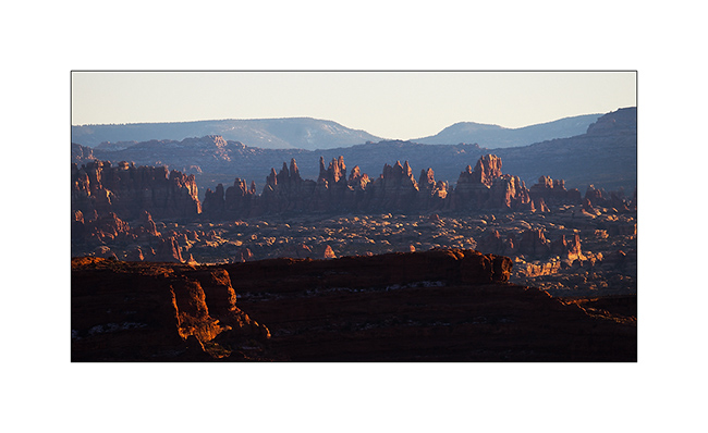
16. Under windwos of VivaLaVida too !
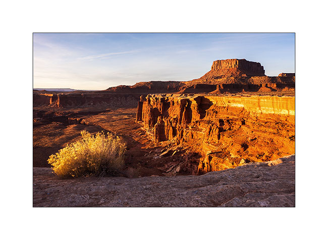
17. Almost the same colors at sunrise…

18. Another of theses giant overhansg with Candelstick Butte in the back.

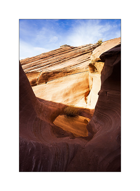
19. A small slot canyon I visited along the trail…
20. I rediscover the Green River…
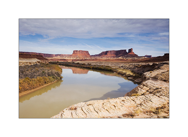
21. Luch stop at Potato Bottom.
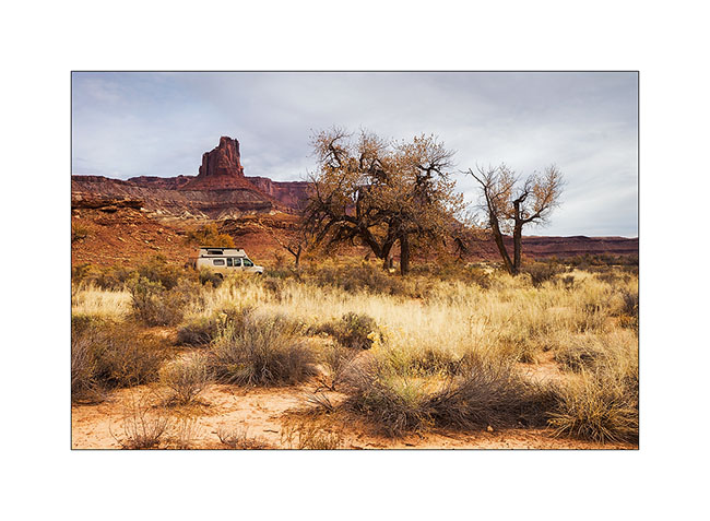
Continuation and end of the White Rim Trail in the next update.
In Canyonlands area…
I went to see other places in Canyonlands NP, first in the beautiful Lavender Canyon.
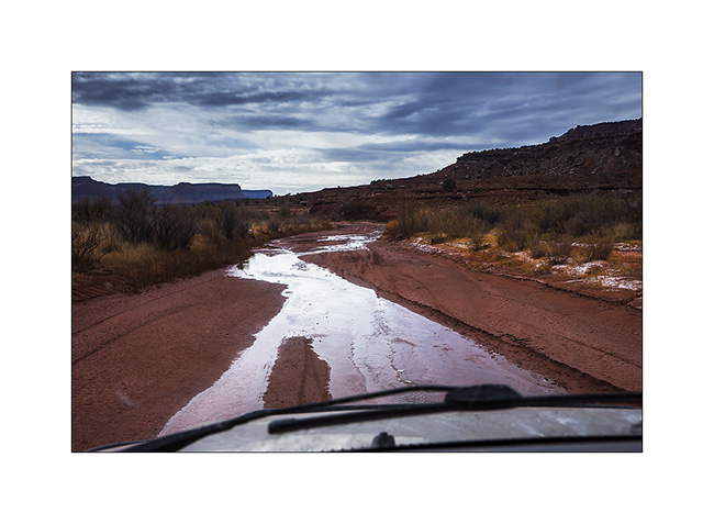
1. The access road goes nearly 20 miles up in a wash. There is some water, partially frozen in places, witness of the recent weather disturbance (the one I had at Black Rock).
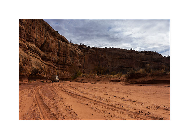
2. VivaLaVida is small under the vertical cliffs of the canyon.
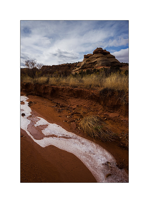
3. Only way to show you that it’s cold in the desert too…
4. In a side canyon that leads me to Long Arch, I discovered some remains of an Indian granary dating from approx. 2,000 years.
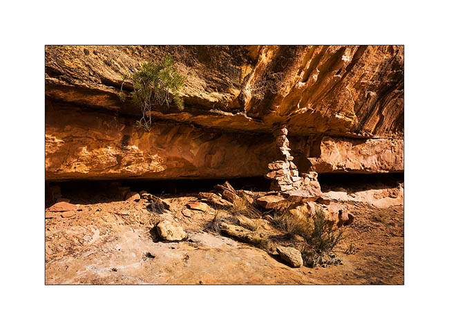
5. They protected their harvest by sheltering it in cliff cavities, closing access to rodents using mud and stones.
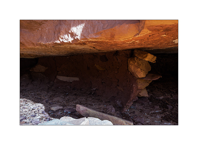
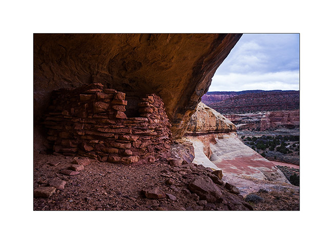
6. Further in the West Fork Lavender Canyon, I discovered a nearly complete shelter in half-wall height.
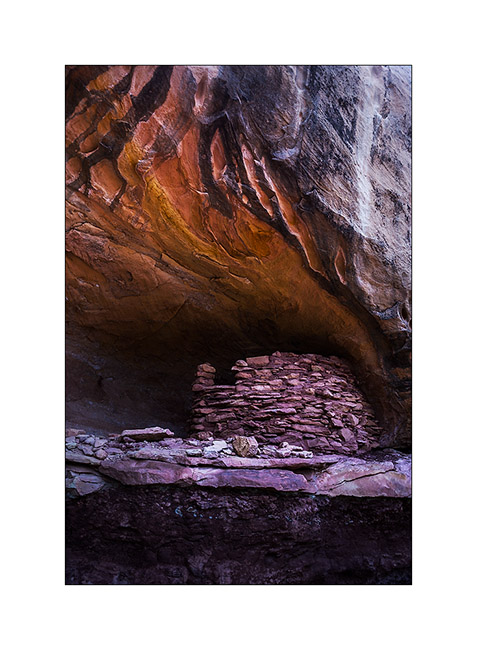
7. It will take me several attempts to find a path leading to it.
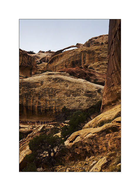
8. After three hours of hiking, I discovered the elegant Long Arch, little known because really remote. I’ll have to study the map to see if there is way to access from the top because no way to get closer down here.
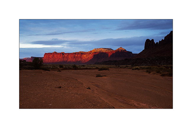
9. I take some showers of sizzles on the way back. But at sunset, a short ray colored cliffs around in this amazing red .
10. After a day of transition, I went to sleep at Anticline Overlook to enjoy the morning light.
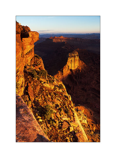
11. Scenry over Hourah Pass and Moab Rim is impressive.
12. The weather get cloudy again and showers of rain/sleet follow one another. But I stop to show you how they transport trucks here! 😀
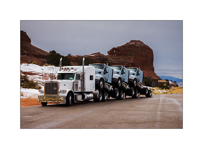
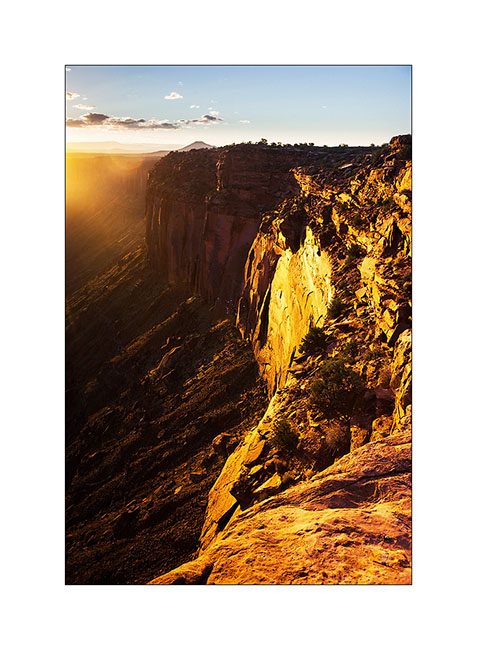
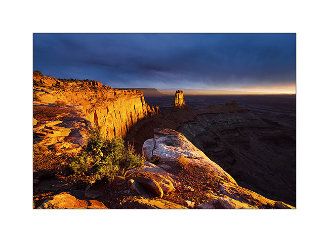
Having spotted the previous day an interesting point of view, I tried the gamble to go there for the sunset despite the rain and stormy Wind that got up, hoping for a sunray at sunset. The track was very bumpy and almost 20 miles long, VLV needed two hours to get to.
Arrived there at around 4PM, I went locate places to try to find a nice composition, aware that if there would be some sunlight, it would be brief. I finally found a composition I like, not without some apprehension because I was on a block overhanging a 600 feet cliff. It’s 16:30, I sit nearby and wait. It is downright cold and I’m beginning to think that I have come all this way for nothing…
But ultimately, the Gods of Light rewarded me with a moment of insane intensity! It did not last five minutes, just long enough for the sun to go under the clouds before to set. But the light was so intense, contrasting with the dark and low snow skie, gilding the cliff in a so bright yellow-orange..! A moment of pure happiness for my photographer’s eye. 😉
13. Firing…

14. Bis.
At once I prepared a luxury aperitif before processing these images… 😉
15. The next day, the snow has changed the appearance of the place.
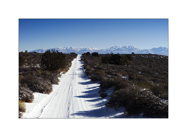
16. The track of VLV, alone on snow, as a symbol of her journey, often trough almost desert places…
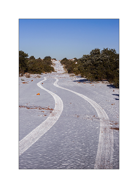
17. Contrast with the red sandstone is striking. Here, the small arch of Looking Glass Rock.
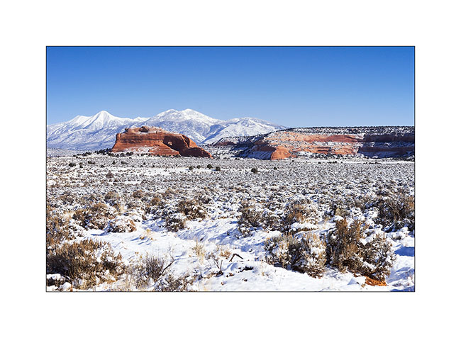
18. VivaLaVida is then went in the La Sal Mountains for a taste of winter.
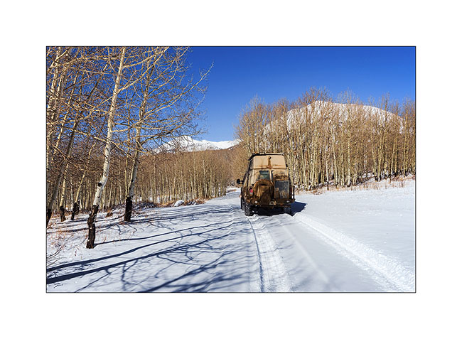
19. Aspens have lost their leaves for some time but proudly raise their silhouettes in the sky.

20. There was too much snow for me to cross the La Sal Pass, I had to turn back.
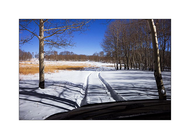
21. Nice place for a small lunch, isn’t it? 😀
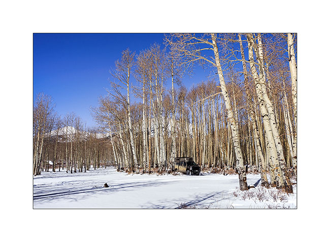
More in the next update…
Back in Utah
I met Nick and Kim in Moab. I met Nick in North Carolina. He also owns a Ford van, two-wheel drive and shorter than VivaLaVida but well equipped for two. He’s traveling for two and a half weeks with his friend Kim who discovers the West for the first time.
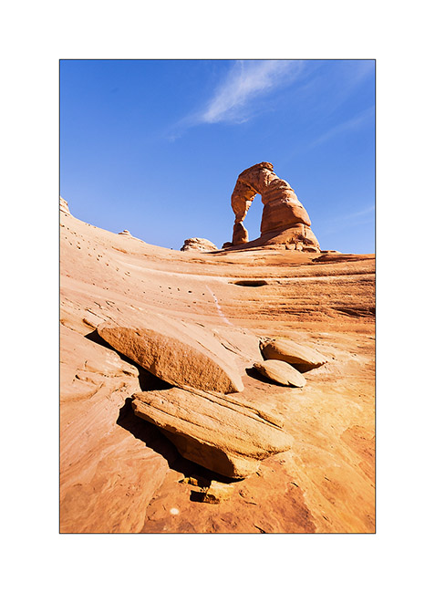
1. We spent the first day in Arches National Park, the opportunity to make an image a little different from Delicate Arch while every picture has been done on the site, one of the most photographed of Utah.
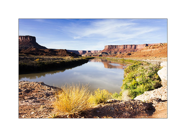
2. The next day, Nick rented a jeep to travel the White Rim Trail, a 100 miles trail that runs north of the Colorado first, then the Green River.
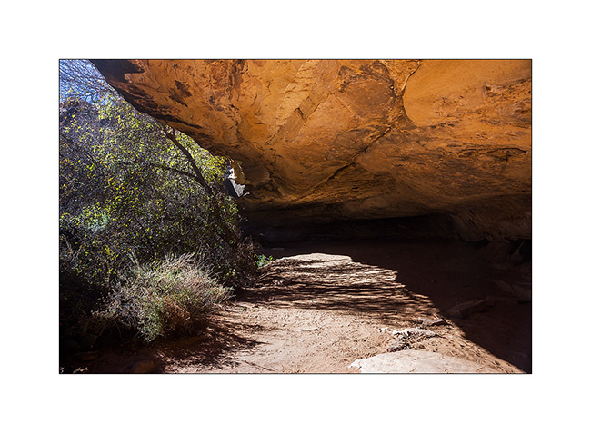
3. Having to wait four days to service VLV, I got back to the Needles, probably my favorite place in Canyonsland NP. I went to see Cave Spring inhabited by the Anasazi Indians from 7,600 years BC.
4. Petrograph in Cave Spring
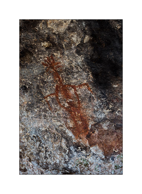
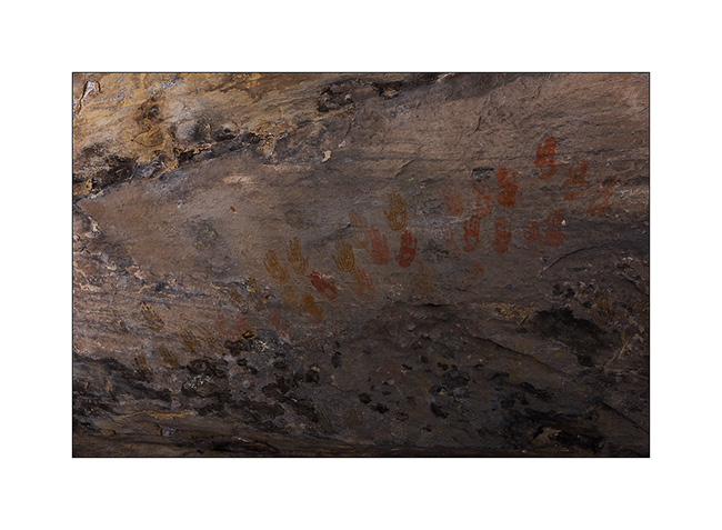
5. The famous hands of Cave Spring.
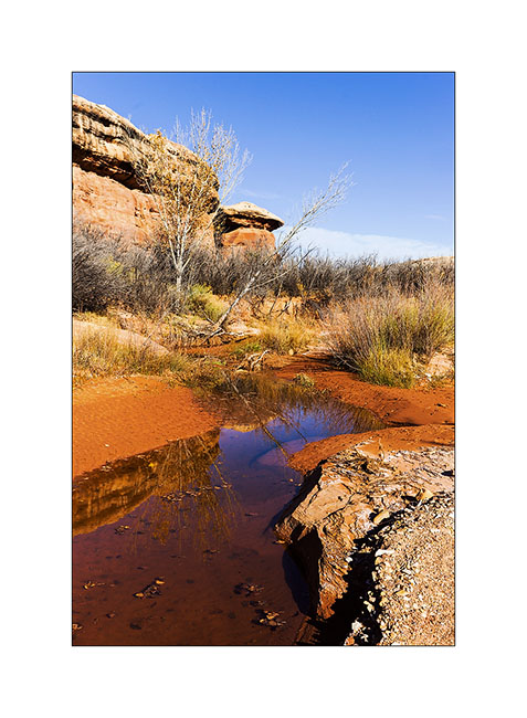
6. On the way to Tour Ruins, another spot I discovered.
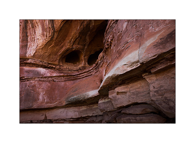
7. I first discovered granaries on the cliffs.
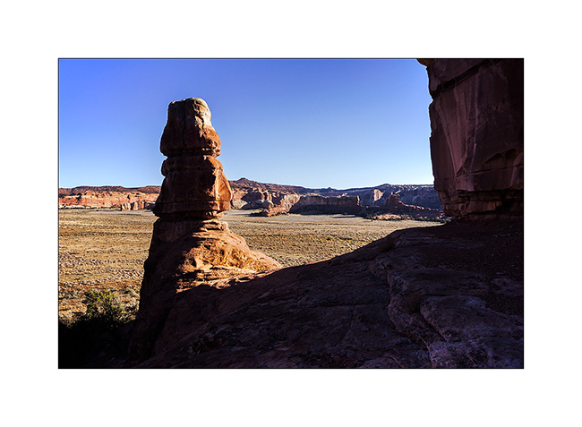
8. Here is the tower which gave its name to the ruins…
9. Here is the ruin, surprisingly well preserved. It was a dwelling place for the summer season.
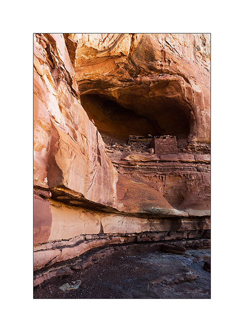
10. I went to sleep above the Colorado and enjoyed the viewpoint the next morning.
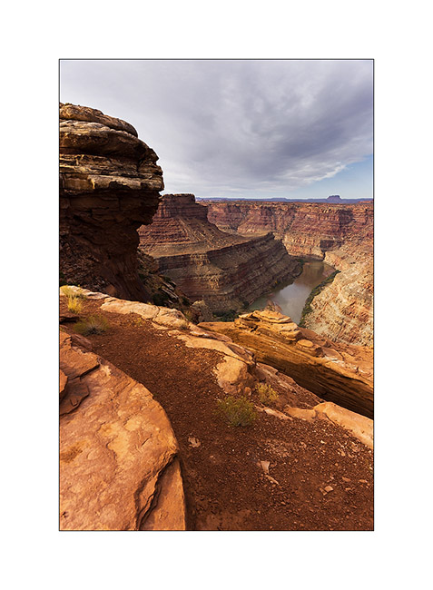
11. The track to get back is quite interesting by place.
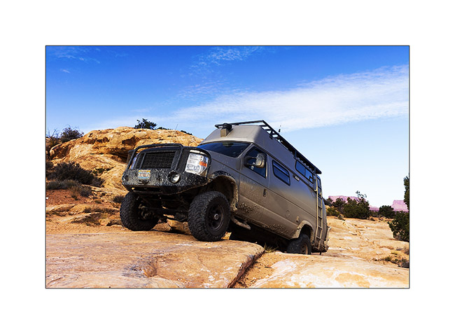
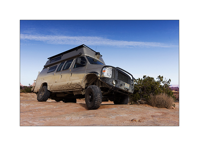
12. Axle crossing.
13. In the afternoon, I returned to Chesler Park, a beautiful place.
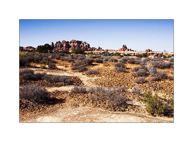
14. One of the canyons we cross to get there.
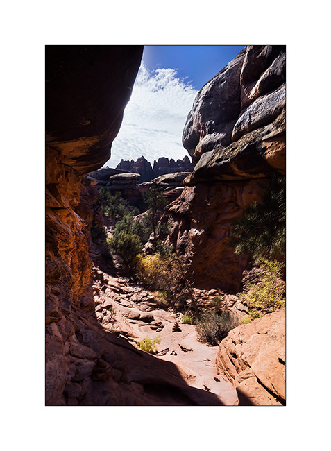
15. I approach the famous Needles.
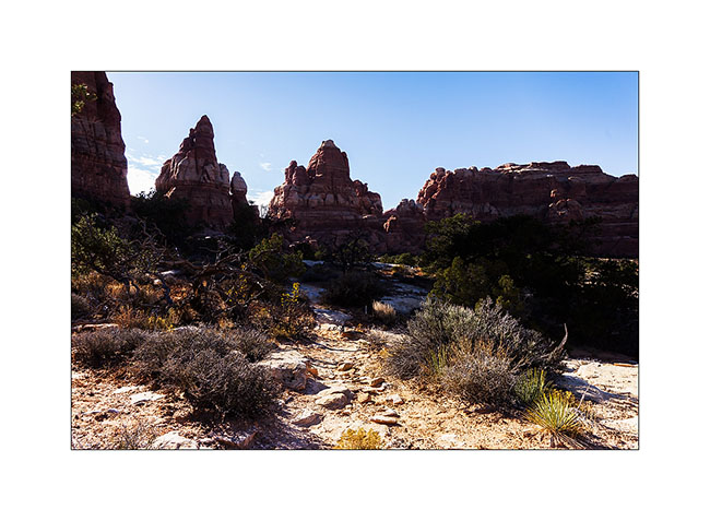
16. And here I am in Chesler Park.
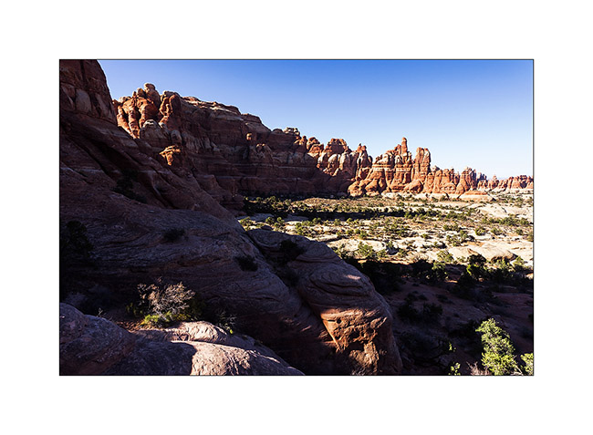
17. The south side is a beautiful meadow that makes me want to camp there.
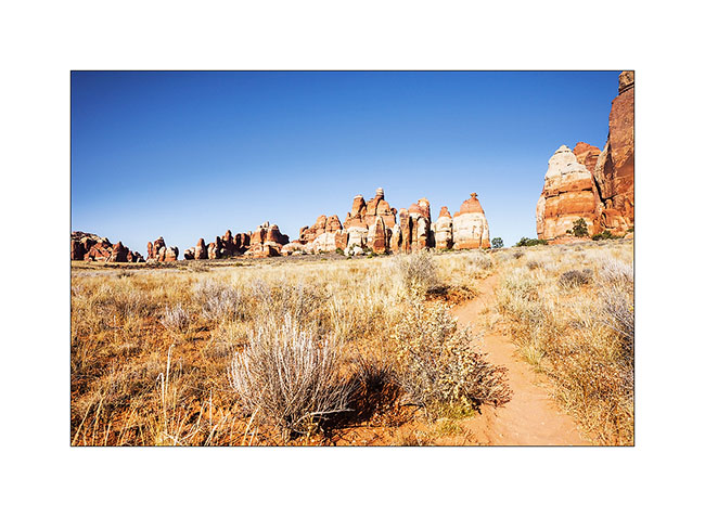
18. In a side canyon to Elephant Canyon, I discovered this fault created by erosion.
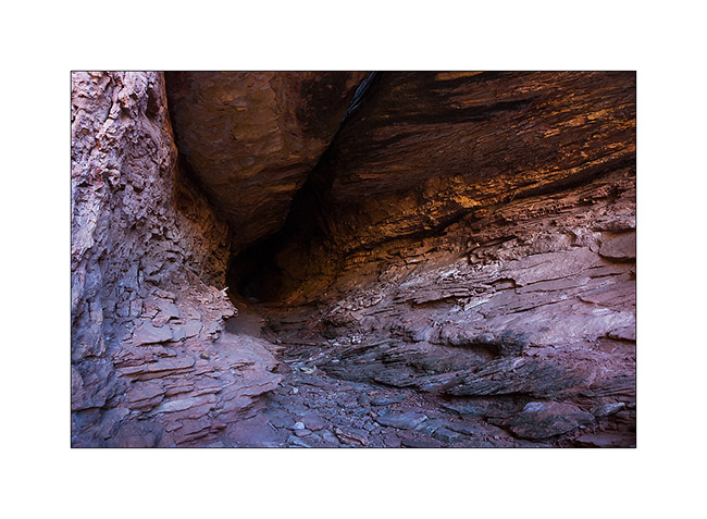
19. It’s late but I go up the Elephant Canyon to find a nice arch.
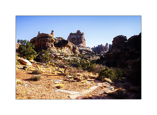
20. Small tree in the cliffs…
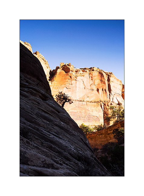
21. After almost running at full speed, here is Druid Arch, a rather unusual double arch.
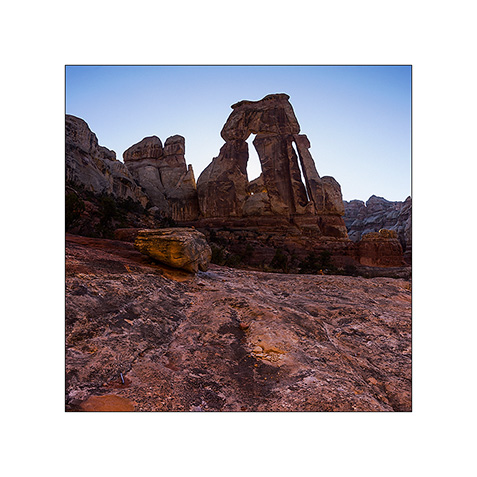
22. I’m still at the top of Elephant Canyon and I must go down without delay to reach the Trailhead before nightfall, 6.5 miles away.
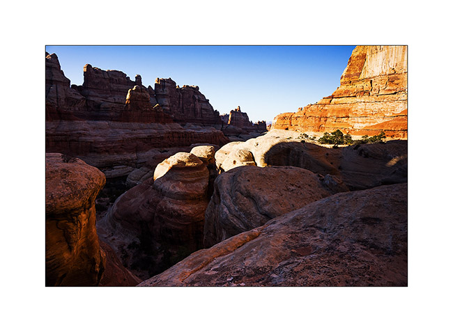
I reached VivaLaVida at nightfall, a little tired after more than 14 miles on quite uneven terrain.
Some other spots discovered in Utah to come soon…
 D5 Creation