
Archives
now browsing by author
Californian varieties
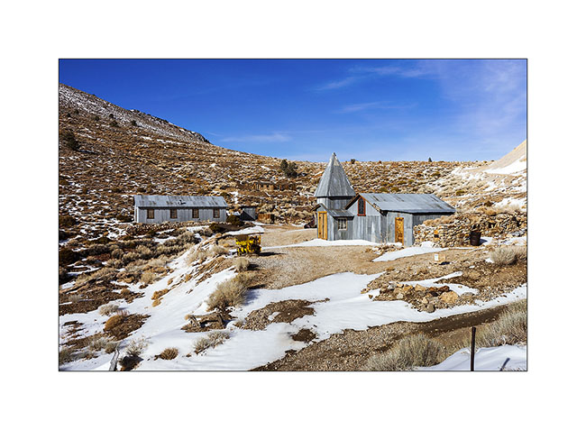
Having failed to reach Cerro Gordo through the ridge road blocked by snow, we drove up the classic route. This is an abandoned mining town that was home to 2,000 people between 1856 and 1930. It had up to 7 saloons and the basement is dug over 35 miles (55 km) of galleries. It generated the largest amounts of silver from all the American West at this time.
1. Some buildings of this mining Ghost Town are made of corrugated sheet.
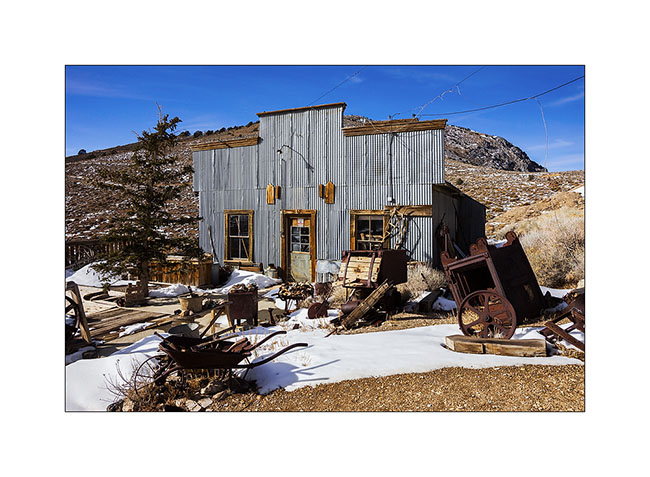
2. General Store transformed in a museum.
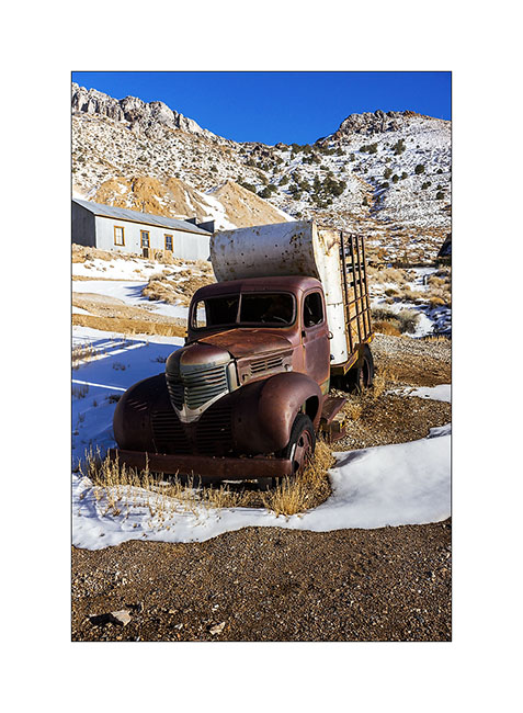
3. A 1946 truck.
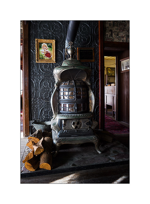
4. Splendid furnace in hotel.
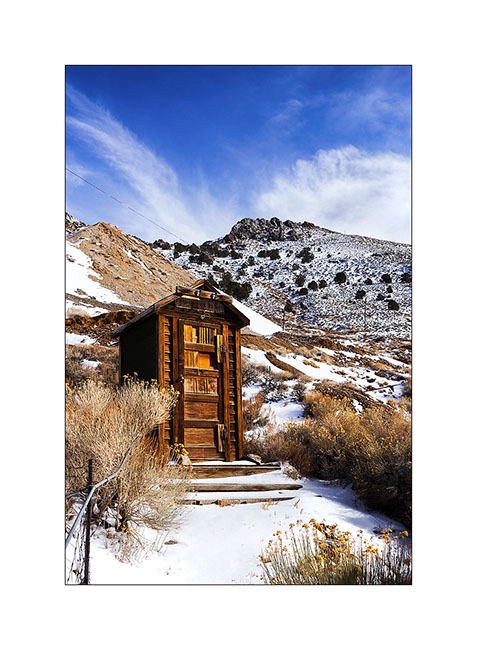
5. A restroom…
6. The next day, we stopped at Trona Pinnacles.
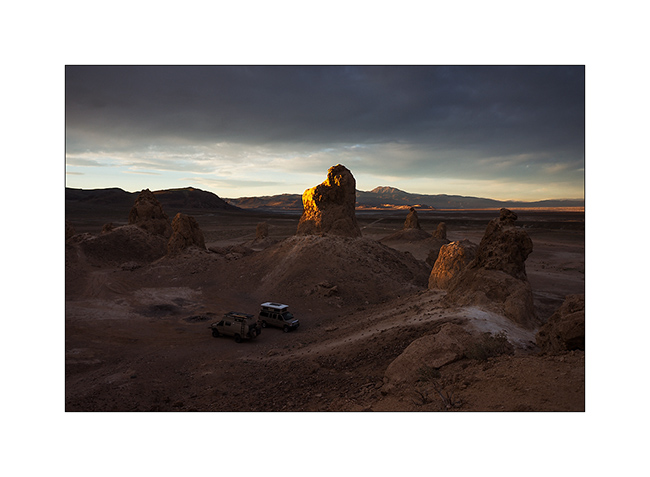
7. the sun is going Under the clouds.
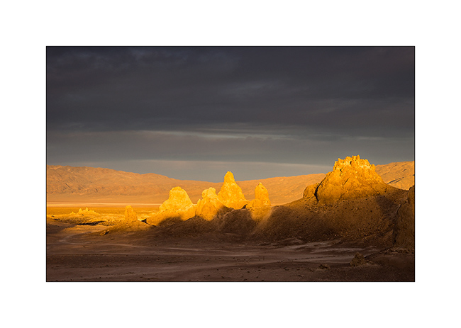
8. This is tuff chimneys such as Mono Lake, which formed in a lake between 100,000 and 10,000 years before our area.
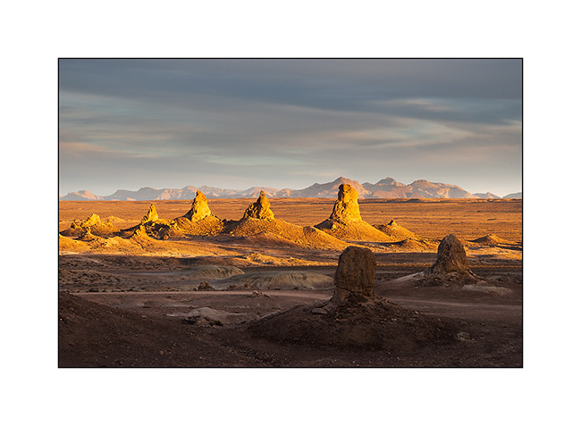
9. Some are 140 feet high.
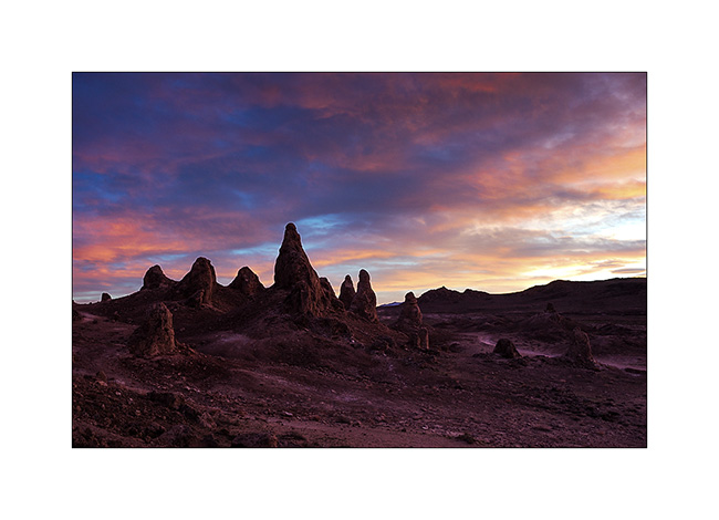
10. Flaming sunset.
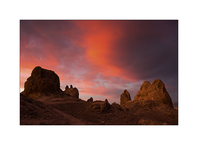
11. Unlikely colors…
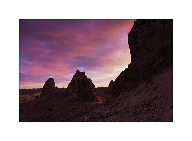
12. Light reflected by the purpled clouds…
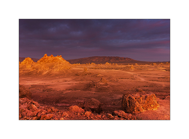
13. Another discovery : Red Cliffs Canyon.

14. The errosion sculpted amazing forms, sometimes colored…
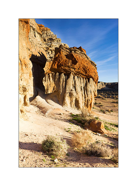
15. … sometimes gray.
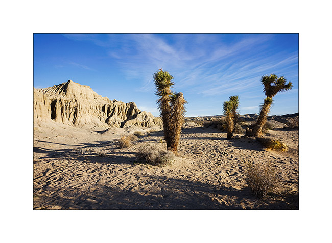
Change of scenery! We stayed for three days at the “King of the Hammers”, an off road race! The event takes place in the desert and alternates very fast sections on sandy tracks and pure rock crowling passages in canyons full of large blocks and obstacles. The winner took almost 9 hours to browse through three rounds of 45 miles.
16. Vehicles are buggies which most are between 800 and 1,000 hp!
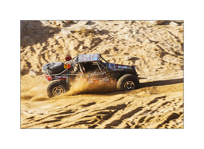
17. This one has a distant silhouette of Jeep…
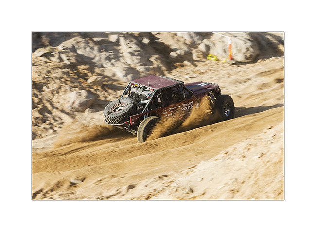
18. Back Door canyon entry.
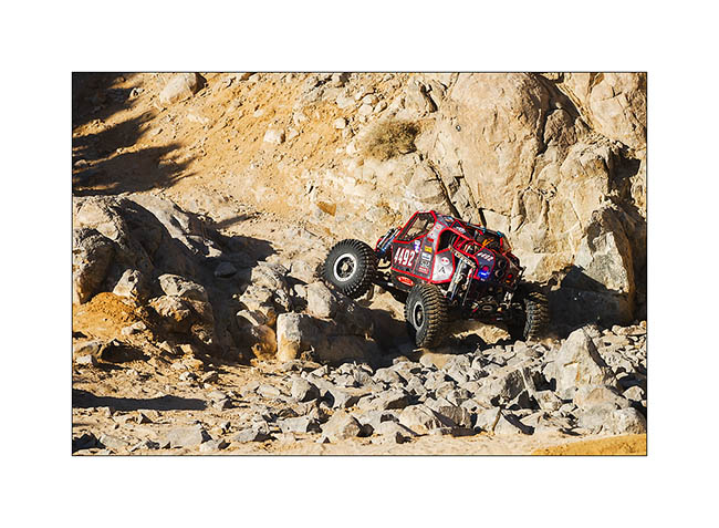
19. Winching an obstacle, here a more than 10 feet high step! The co-driver is also the one that will tie the winch.
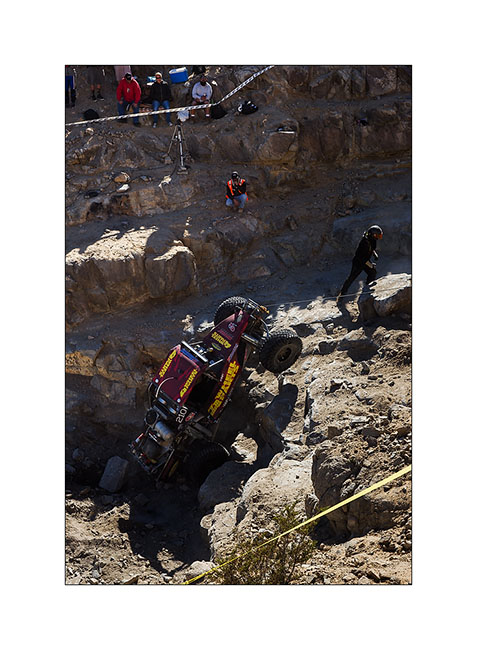
20. Some buggies are single seater.
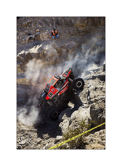
21. Power passing…
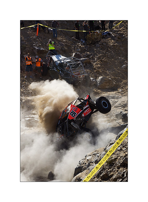
22. Up in Back Door canyon, more than 600 feet above the desert.
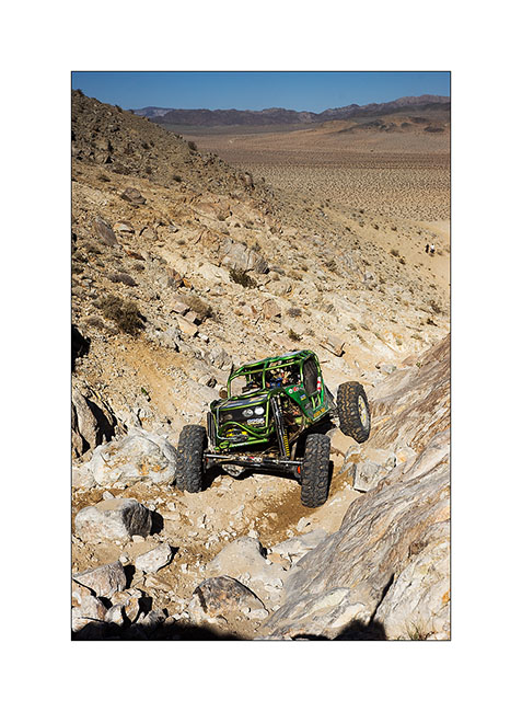
23. Another obstacle that seems less impressive than reality on this image.
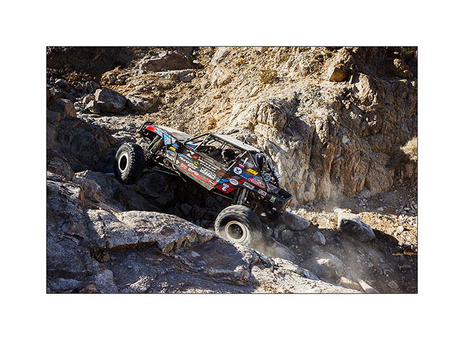
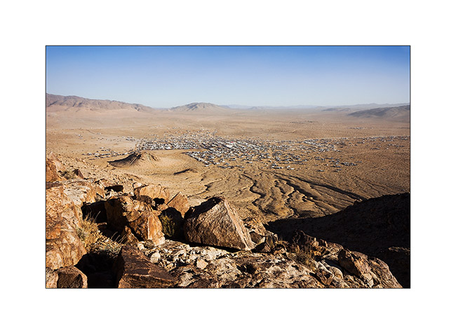
24. It is a city of nearly 30,000 inhabitants that rises from the desert during the race week.
Here is a short video taken with my cell phone…
Once the race is over, dozens of private vehicles are trying to hit obstacles of the race with the encouragement of hundreds of spectators that beer makes quite noisy ..! Here are two more videos, just to give you an idea of the atmosphere. They were shot around midnight…
After this fun experience, VivaLaVida began his eastward migration toward East travelling back to Arizona for a few days, still followed by Baja Shaker… To come soon. 😉
Salt Tram…
I met Andrew with whom I went to Baja last year. He’s gonna make a little way with VivaLaVida before I hit the road toward East…
1. Beautiful colors to the first camp together near hot springs.
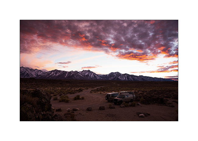
2. Stop at Alabama Hills that I discovered last spring with Jean-Luc.
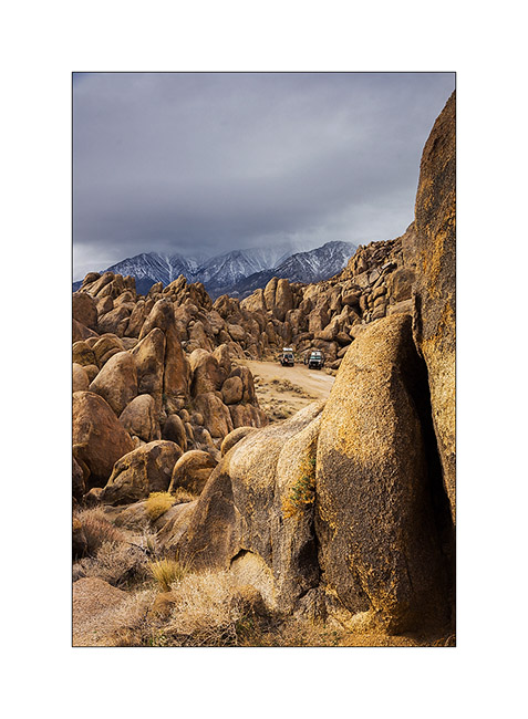
3. This place is really fun with these conglomerate concretions.
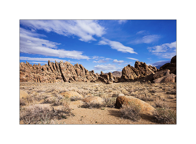
4. Withney Portal Arch.
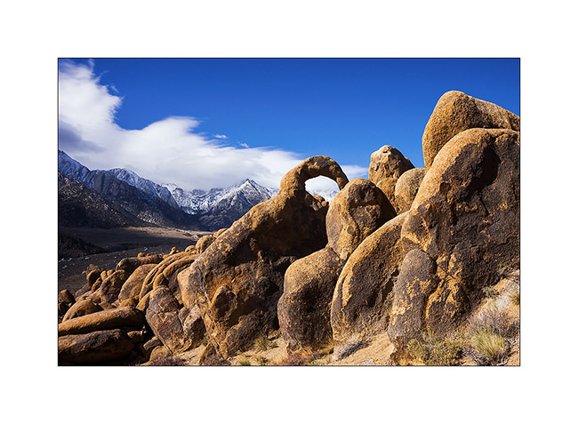
5. These hills are located at the foot of the Sierra Nevada.
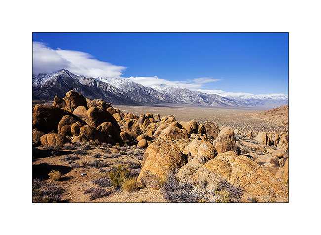
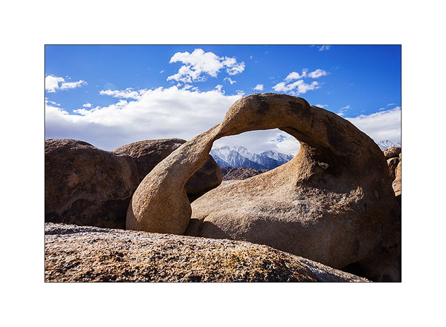
6. Visit of Mobius Arch I had already presented here.
We then went to discover the Salt Tram, a construction that I wanted to explore. We had seen some pylons with Jean-Luc in the Saline Valley, thinking it was an elevator built for mining. In fact, it was a tram designed to exploit the salt deposit of the Saline Valley. Built between 1911 and 1913, the numbers are just amazing! It starts from 3,300 feet above sea level in Swansea, in the Owens Valley, rises more than 8,000 feet and goes down the other side of the mountain in the Saline Valley. The hauling cable was 27 miles long!
7. Up the Swansea Grade, above Owens Valley.
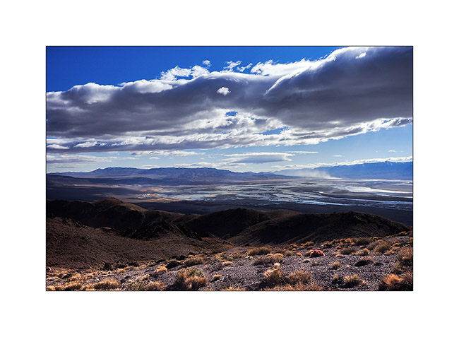
8. The Sierras received some snow three days ago.
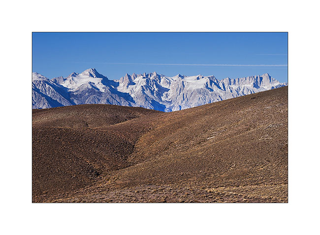
9. Owens Valley with VLV and Baja Shaker camping at 5,500 feet elevation.

10. I approach a first pylon.
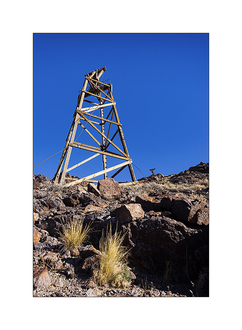
11. Assembly.
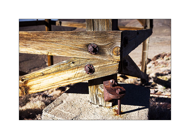
12. The dry climate has preserved the wood for over a hundred years.
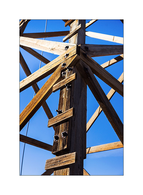
13. Second pylon.
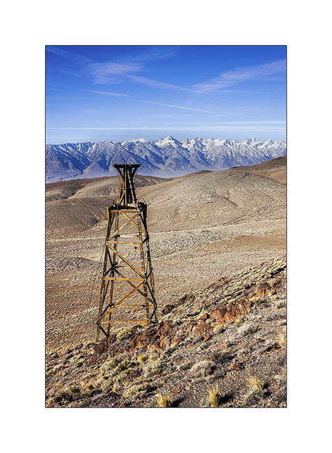
14. One of the intermediate stations to cross a ridge.
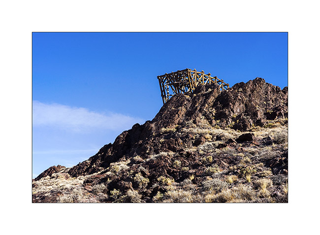
15. The construction is very similar to modern lifts excepted it’s made of wood.

16. Hauling cable detail.
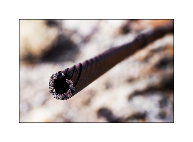
17. Framework.
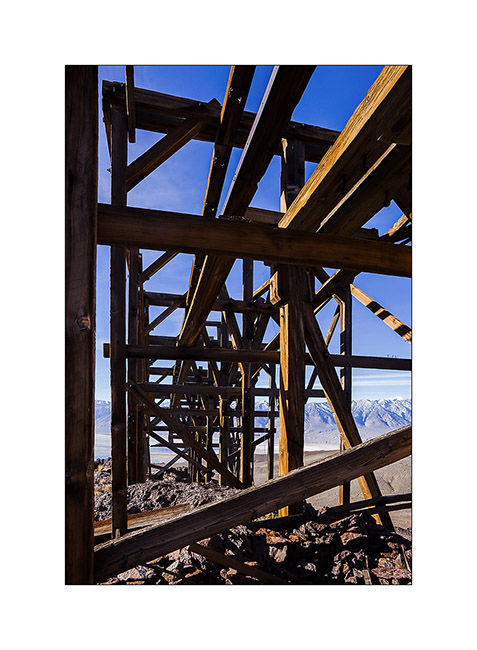
18. Pylons alignment with the top station at the bottom.
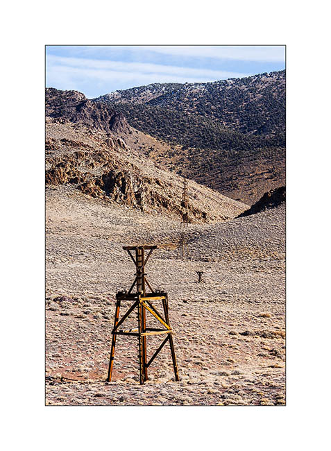
19. View of a lower intermediate station in front of the saline still in use today.
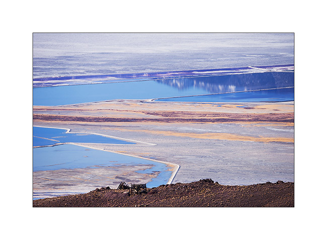
20. Graphics of saline.
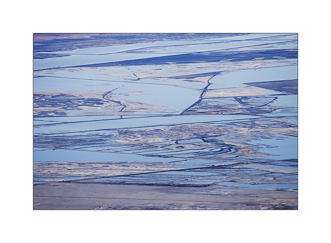
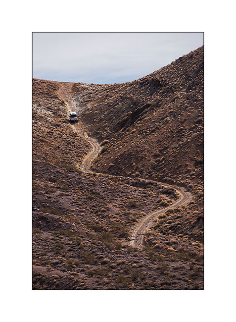
21. Baja Shacker going down the Swansea Grade quite steep and dissected in places.
To be followed in some days… 😀
Behind the Sierras…
1. Sunrise over Eureka Dunes.
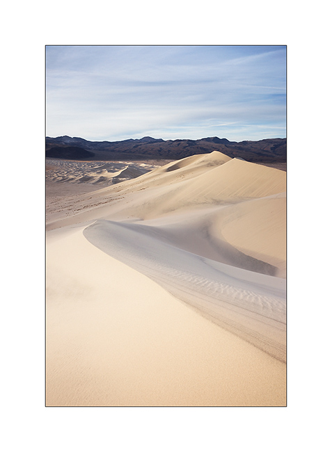
2. Contrasts between dark cliffs and clear dunes…
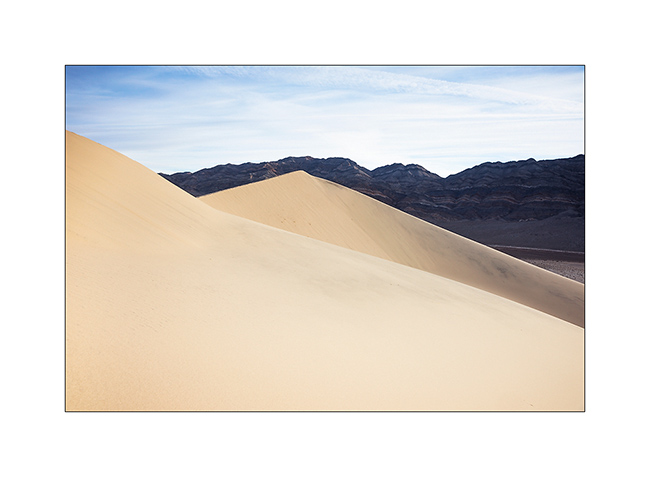
3. … and between the softness of the sand and the harshness of the rock.
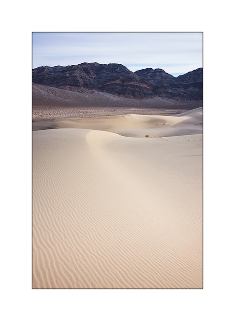
I then went to explore volcanic craters near Mono Lake, the few snow this year allowing to access it easier than usually in this season.
4. On the road, I spent a night near Hot Creek, a river warmed by hot springs.

5. I’m over 6,000 feet elevation and there is no snow…

6. It’s cold at night however, 10F that night – and lakes freeze…
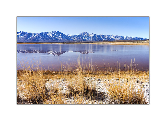
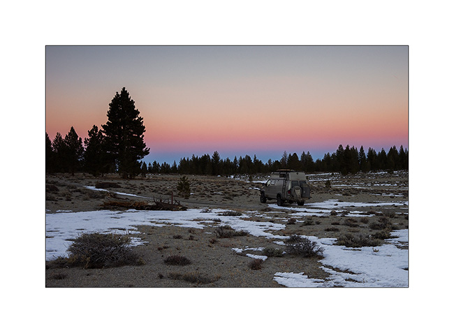
7. Boondocking behind Crater Mountain, at 7,900 feet elevation.
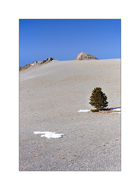
8. Mounted in steep scree of porous and rather light volcanic stones. Worse than the sand: making three steps up, you descend two! 😀
9. at about 8,500 feet, I see Mono Lake in the distance.
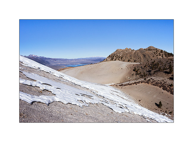
10. The north slopes keep some patches of snow.
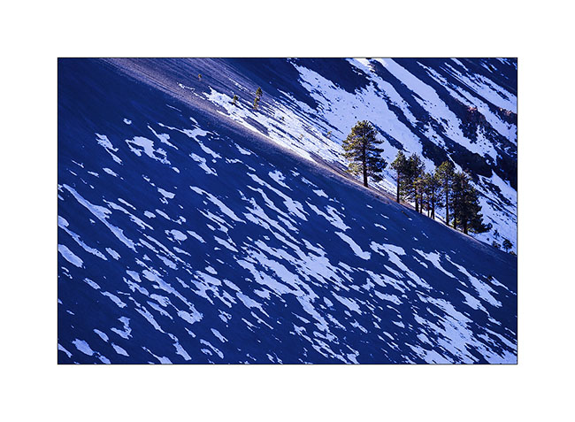
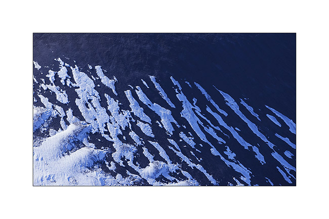
11. Patchwork…
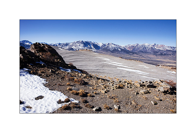
12. Sierra Nevada is close toward West.
13. Scoria cone in front of Mono Lake.
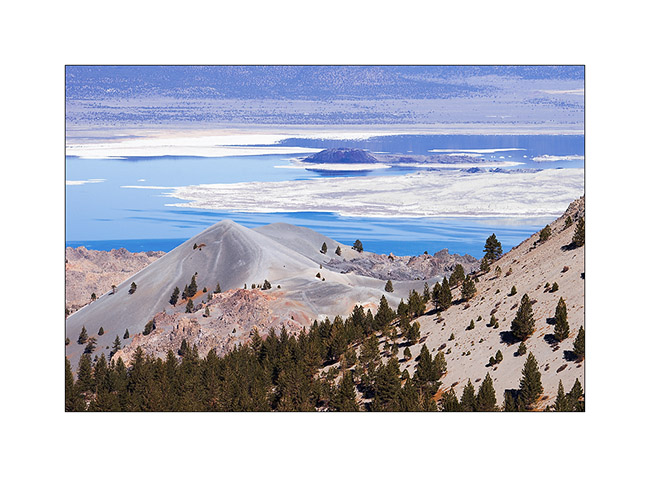
14. Remnant cornice under the summit slope.
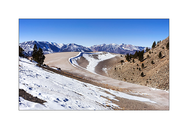
15. Arrival on the main crater or what remains.
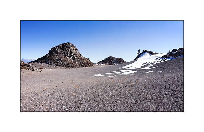
16. There were many of such black stones that looked like vitrified coal, rather light for their size with smooth and shiny texture.
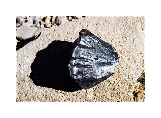
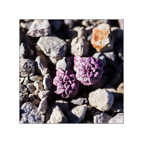
17. One of the only plants that manage to grow in this hostile environment. Tiny but pretty…
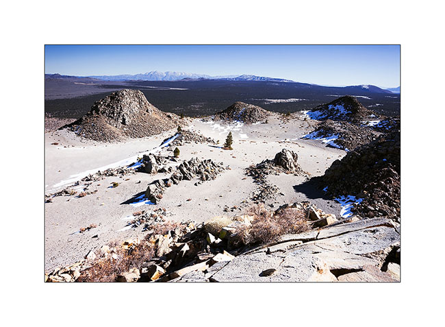
18. View of the crater from the highest point at 9,400 feet elevation.
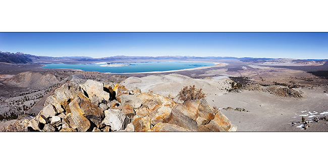
19. The panoramic view of emerald color Mono Lake is impressive!
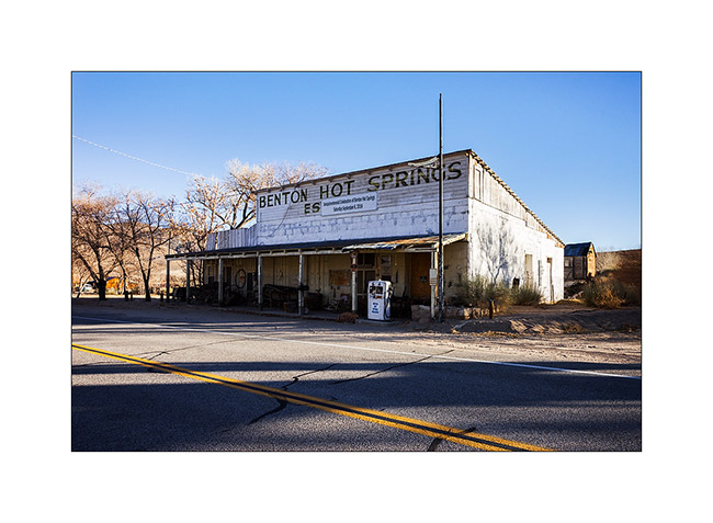
20. Going down on the way to some hot springs, VivaLaVida went through Benton Hot Springs, a historic place of passage.
After soaking in hot water two hours under the stars (what a joy!), I took a one day break to make an oïl change to VivaLaVida. Andrew (the guy with whom I had discovered the Baja California early last year) is being announced, I should meet him in the coming days to discover some new corners with Baja-Shacker.
To discover soon in a future update… 😀
Some problems with this blog…
Some of you noticed it, this blog was unavailable between Monday to Wednesday morning. Blame on me that have made a big mistake, crashing the PHP database that manages all contents.
I probably have a few more gray hairs after rowing to put everything back in place with the help of Christian, a former computer programmer friend and now talented photographer in Carouge, Geneva. Many Thanks for your help Christian! 😉
Go discover his images on href=”http://www.imagin-creations.ch” www.imagin-creations.ch definitely worth the see.
You also twice received the newsletter announcing the latest update, the second with a imagin-hair.ch web address; sorry for this blunder on my part, I had failed to remove it. But since this is so, enjoy taking a lookto the site href=”http://www.imagin-hair.ch” imagin-hair.ch . This is one of Juliette’s activities, Christian’s girl who offers relooking advices, hairdressing and make up services, and I probably forget a lot of other things. This is a great boutique in Carouge… 😉
The next “normal” update of the blog should be there in early February.
Thanks to all for your loyalty and sorry for the hiccups… 😀
Petroglyphs and sand of Death Valley…
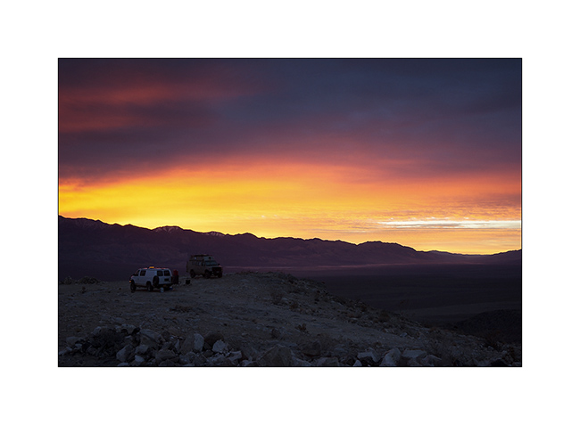
1. Intense sunrise at Lookout City.
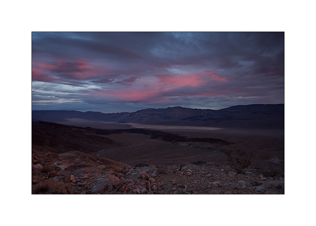
2. Softer colors over Panamint Valley.
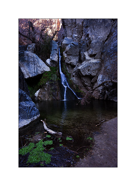
3. Treasure of Death Valley, a waterfall going down Darwin Canyon.
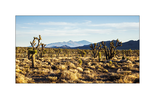
4. End of the day near Hunter Mountain, in a beautiful forest of Joshua trees.
5. We discovered the Blackrock Canyon Well, a little-known petroglyph site.

6. This representation of wild sheep with her calf mouflon backs almost 3,000 years BC.
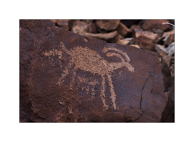
7. Shoshone Indians were admiring wild sheeps.
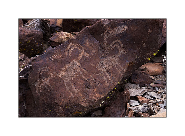
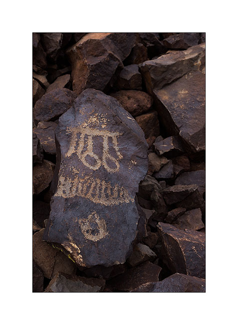
8. There are other representations which we don’t know the meaning on this site.
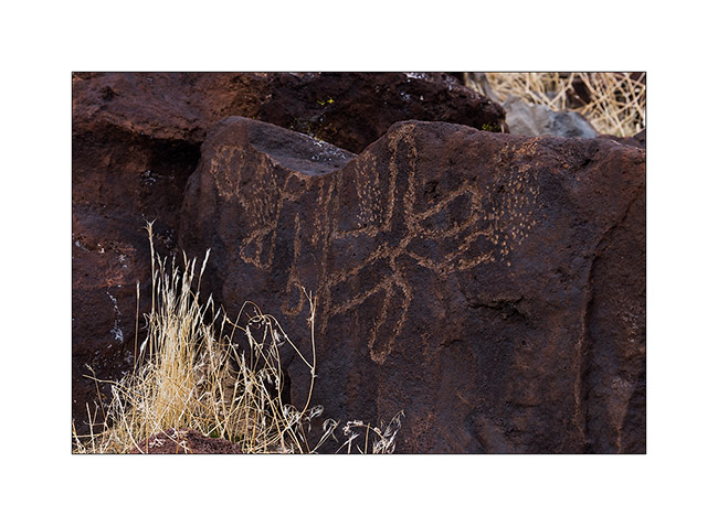
9. The change of patterns is amazing in some fifty petroglyphs we spoted.
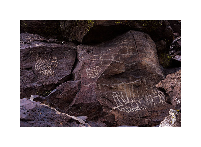
10. Here is the largest of the canyon, near 10 feet high!
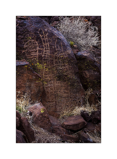
11. Likely a butterfly…
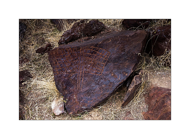
12. There are even some representations on detached blocks.
13. Jeff a little tense on the Road Linpincott…
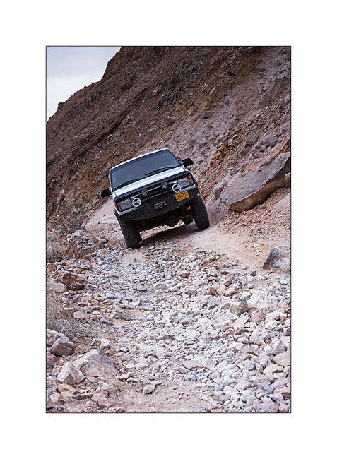
14. We arrive at the top at sunset.
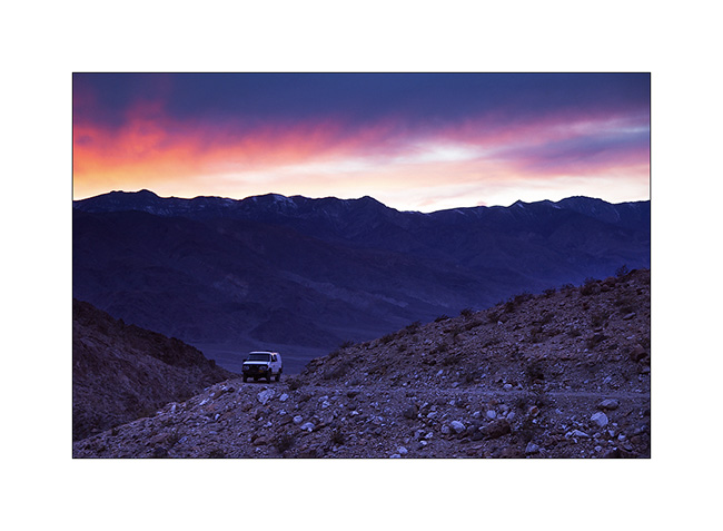
15. Stop near Eureka Dunes I had discovered with Jean-Luc last spring.
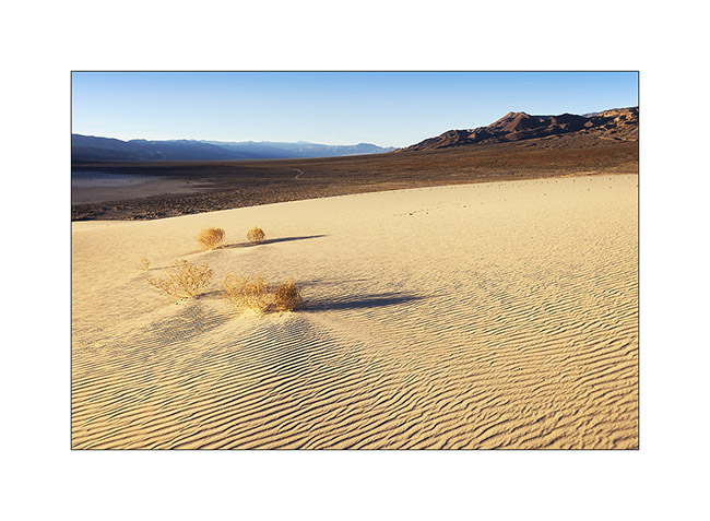
16. Wind pattern…
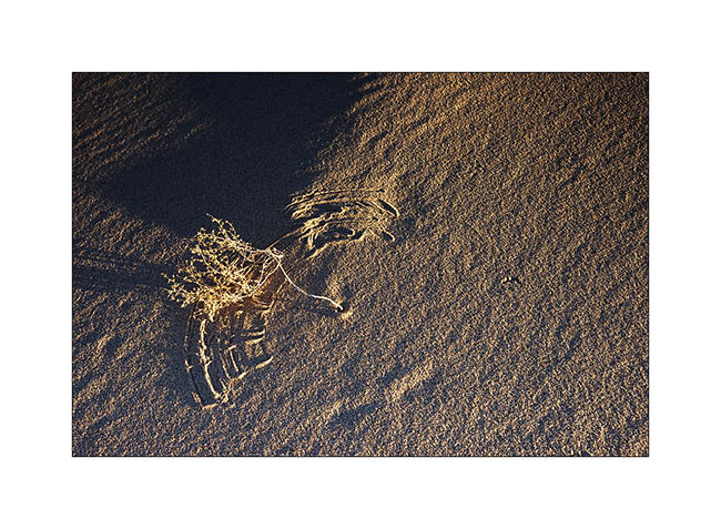
17. … and shadows…
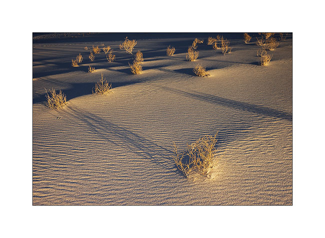
18. Ripples…
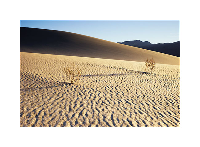
19. Vegetal graphism on mineral.
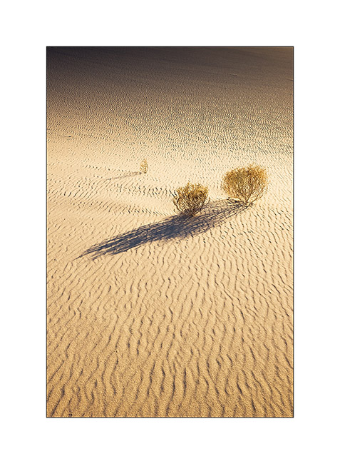
20. Last sunrays lengthen the shadows…
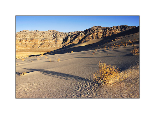
21. Dune…
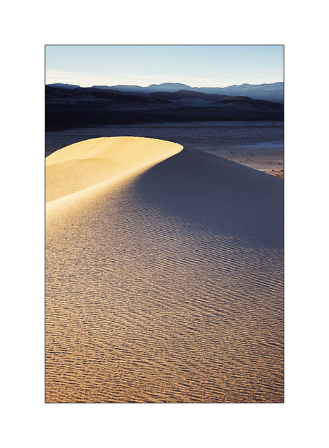
22. Sand waves…
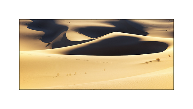
This concludes the eight days spent with Jeff & Janet who continued their journey toward North. It was nice to share these few campfires and make them discover some hidden corners of this splendid Death valley.
Next of the journey coming soon… 😉
Death Valley
I went to join Jeff and Janet, an Alaskan couple who wanted discover some places of the Death Valley and preferred to do it in two vehicles. But before that, I installed the new compressor of VivaLaVida.
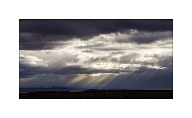
1. Beautiful sky over Arizona strip.
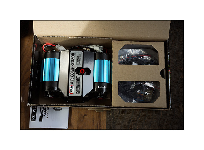
2. ARB was kind enough to replace the compressor with a new one, the previous being his fourth failure. Thanks to them.
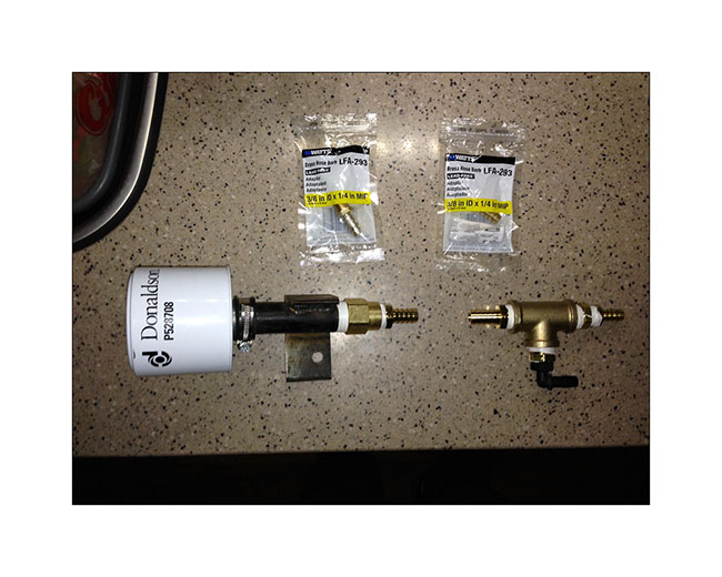
3. To try to prevent this from happening again, I installed a “house made” air filter which should limit the amount of dust that it swallows…
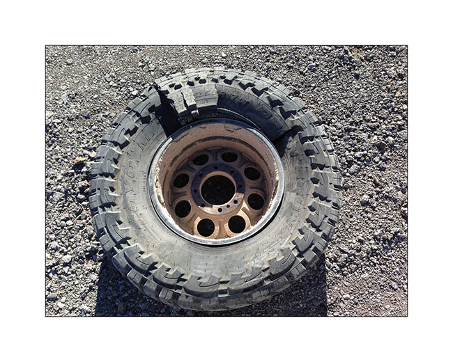
4. On the road to Las Vegas Where I met my friend Christian for dinner, I heard a big “bang” and the back of VLV sagged while I was driving at 70 mph.
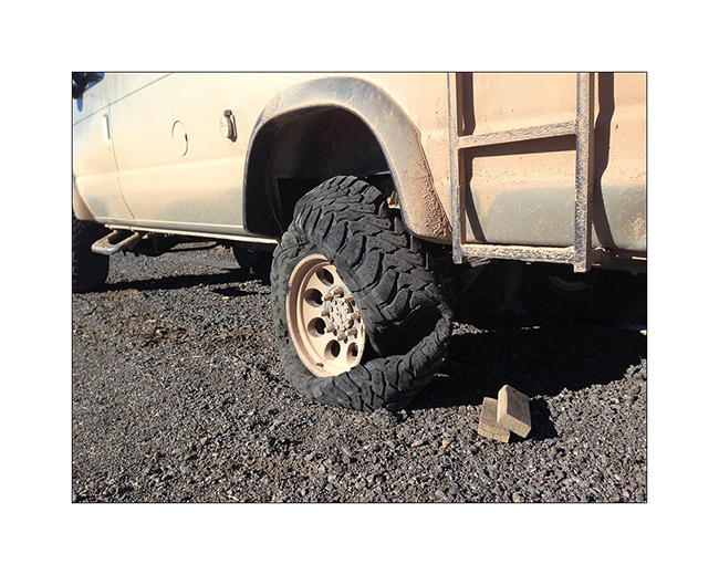
5. A tire suffered a carcass break, probably the result of fatigue of the carcass. Admittedly, these tires have rolled some 10,000 miles of trails at reduced pressure…
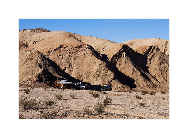
6. Met Jeff and Janet in Bed Springs Cabin, a pretty little miners cabin.
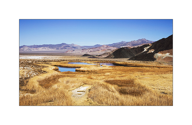
7. Saratoga Springs, south of Death Valley. There were a few ducks and a lot of frogs croaking! 😀
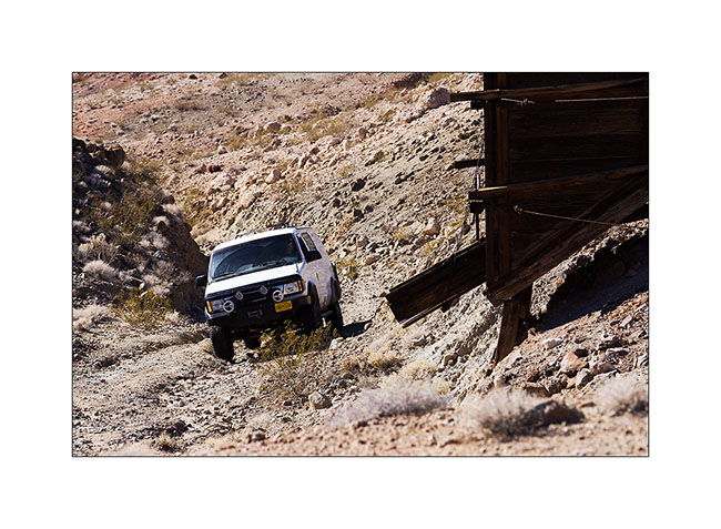
8. Arctictraveller going up to Black Magic Mine.
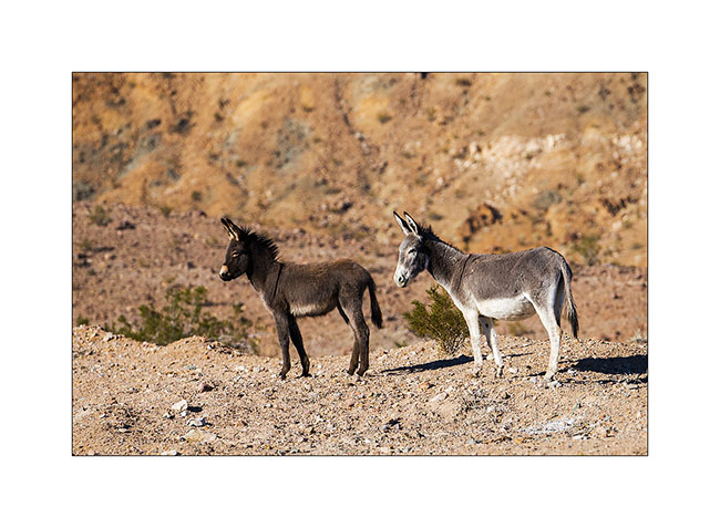
9. Wild donkeys or “burros”, presumably a mother and her young.
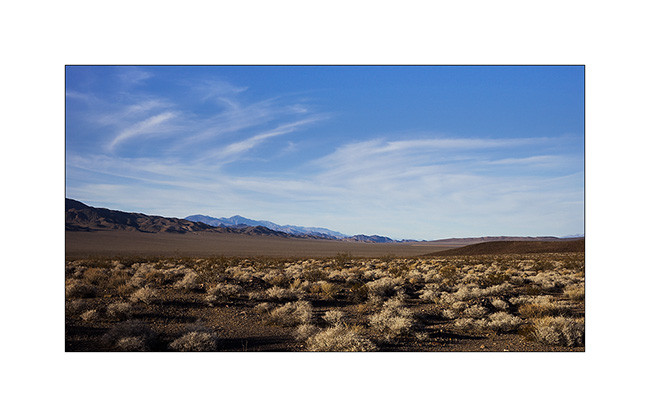
10. Late afternoon on the trail to Owlshead Mountains where we spent the night.
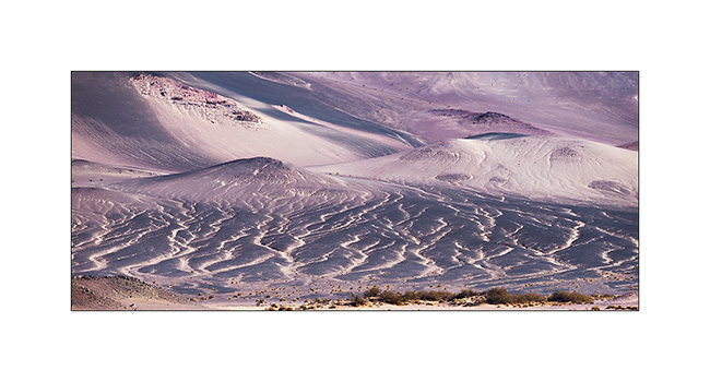
11. Diversity of mineral colors is pretty amazing in places.
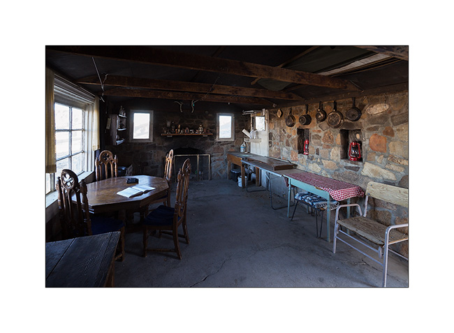
12. One of the few stone cabinss, the Geologist Cabin.
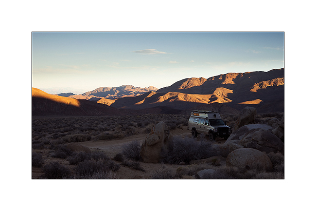
13. Camp at about 4,000 feet above sea level, near the Striped Butte.
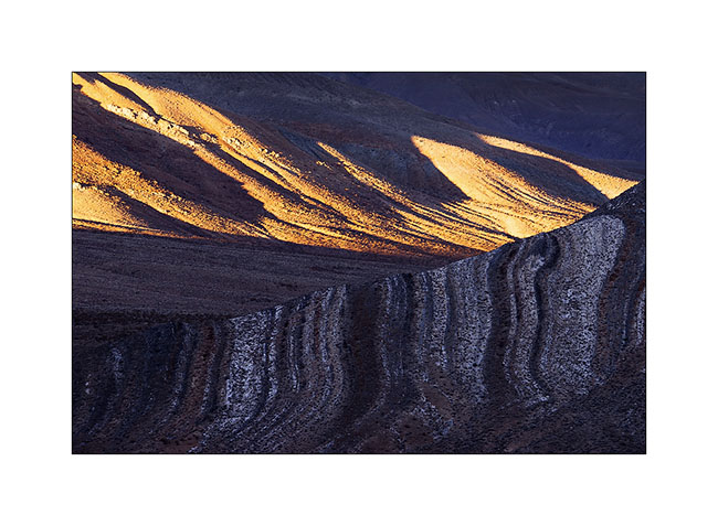
14. Raking light…
15. Striped Butte at sunset.
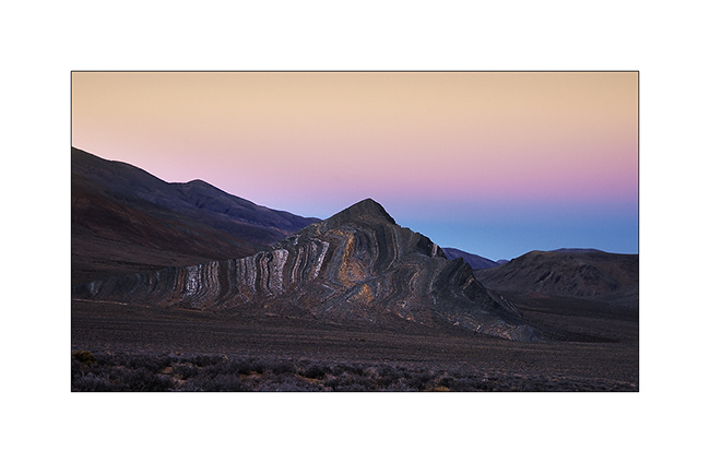
16. Twilight on this desert of rocks…
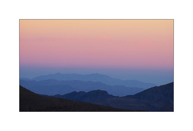
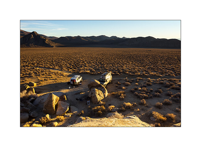
17. Jeff & Janet joined me in the night after going to fill Arctictraveller’s tank.
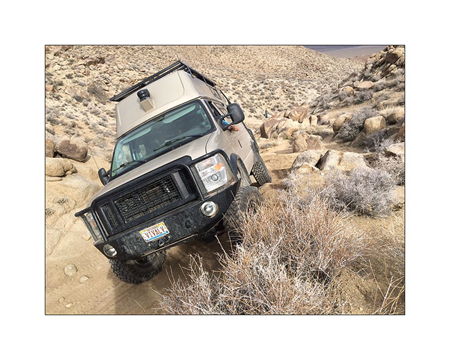
18. Jeff on Mengel Pass tral. It is not very experienced in offroading, I have therefore spoted him on tricky places…
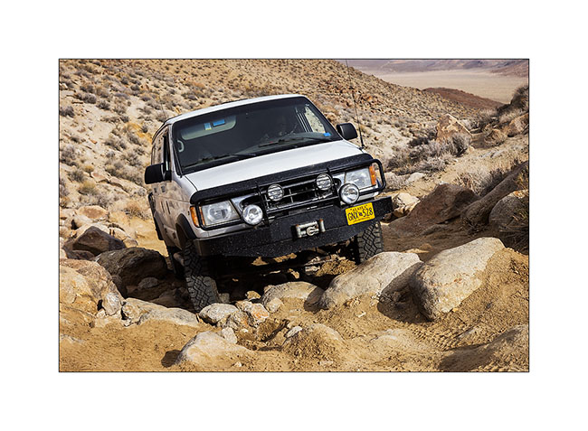
19. There was quite a few steps!
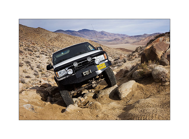
20. And some quite off camber path to…
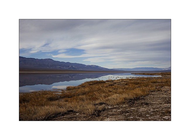
21. Panamint Valley.
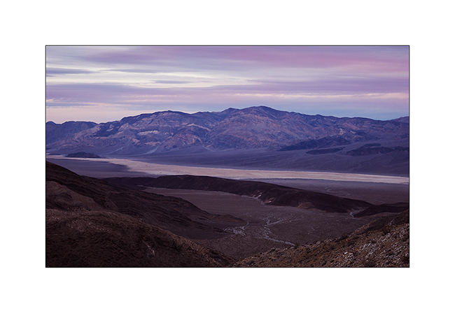
22. Dusk from Lookout City, an old mining town over Panamint Valley.
And for a change, here are two videos of VLV in action. Thanksu to Jeff for having sent me. 😉
To be follwed in some days… 😉
Petrogryphs of Arizona and Nevada
Vivalavida went discover another access to the Grand Canyon, also on the North Rim but further west.
1. Cactus in snow…
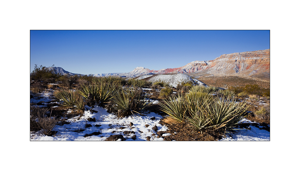
2. After going down Whitmore Canyon, I reached the end of the trail, approx. 700 feet above the Colorado River.

3. Grand Canyon is also gorgious here.
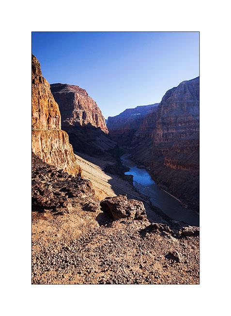
4. The site is interesting because it presents a large lava flow clearly visible on this panoramic (3 images stiched). There have been several successive lava flows, the first about 170,000 years ago that created a temporary 250 feet deep lake obstructing the Grand Canyon. This lake has remained approx. 20,000 years before the lava broke, creating a gigantic tidal wave downstream. Since then, there have been seven succesive lava flowa, the last one approx. 20,000 years ago. Do you find VivaLaVida that gives the scale in the image? 😀
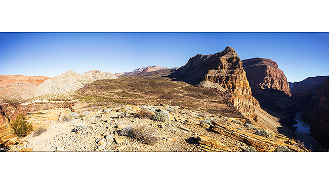
5. To the left of the promontory from which I took the previous image, there is a wide collapse that reveals beautiful basalt organ walls. It’s approx. half a mile in diameter and almost 600 feet deep.
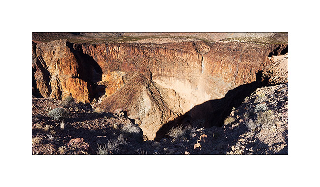
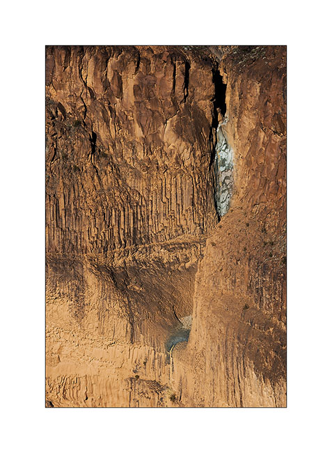
6. Details of the cliff with a waterfall that has carved its way.
7. Just to the testimony, picture is not great, a “beep beep” surprised in the warmer micro-climate of the canyon.

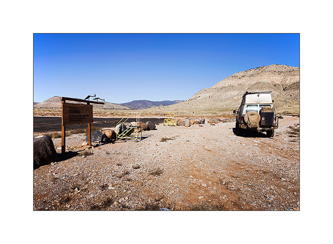
8. Going back up the trail, I pass a small country air strip. Some guys don’t lack humor with this “Whitmore International Airport” sign and the two small escalators… 😉
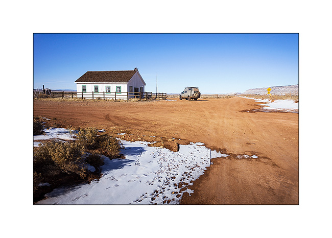
9. VLV near the Mount Trumbull old school. Built in 1922, it was burned by vandals in 2000 and rebuilt in an identical in 2001. It was the only school in the area where the first collons arrived in 1916, growing grains and beans until 1934 where the climate became much drier. Therefore, some og them turned to breeding cattle and sheep while many others left the premises. The school was in operation until 1968 when it was closed for lack of students. the last man living year round in this region died in 1984. Since few ranch remain scattered and inhabited during sommer only.
10. Short detour to Little Black Mountain, an interesting petroglyphs site.

11. the almost horizontal line is oriented exactly in the axis of the winter solstice; December 21st, the sun rises just above its eastern end.
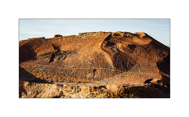
12. One of the big boulders of the site.

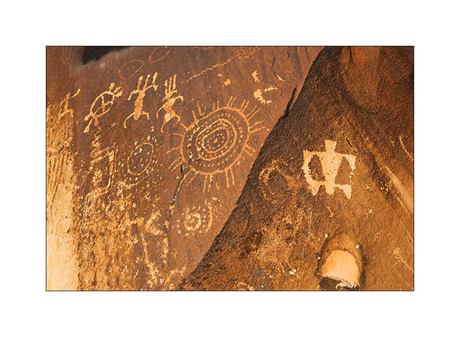
13. Details…
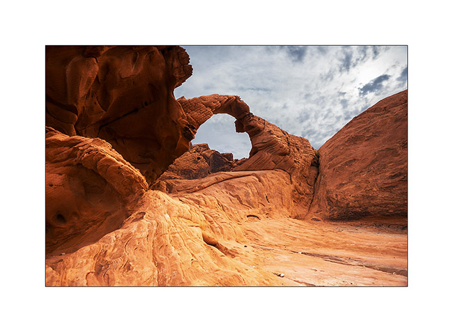
After this escapade in Arizona, I made another into Nevada to spend the evening with my friend Christian who was a few days in Las Vegas for the CES. Heading back to Utah where I should pick up a new compressor for VLV (the actual one being at its 4th beakdown…), I stopped at the Valley of Fire, a small Nevada State Park not far from Lake Mead.
14. Arch Rock.
15. They are also many petroglyphs, those ar at Altalt Rock.
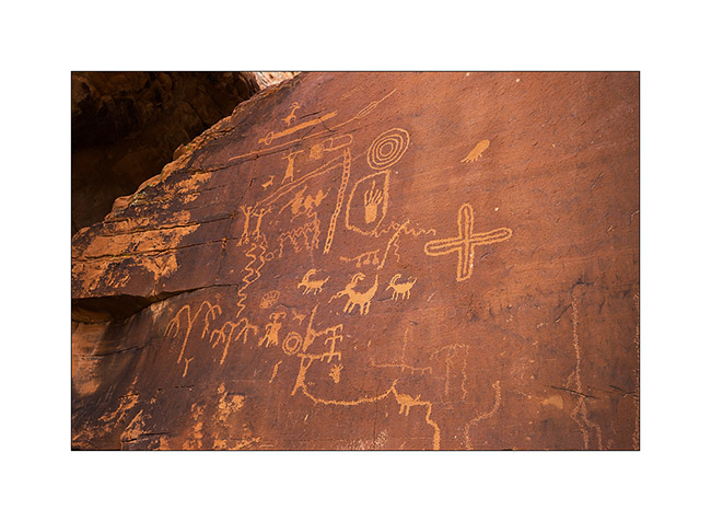
16. Still Altalt Rock.
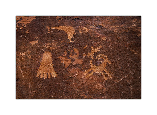
17. Those are in Mouse’s Tank Canyon.
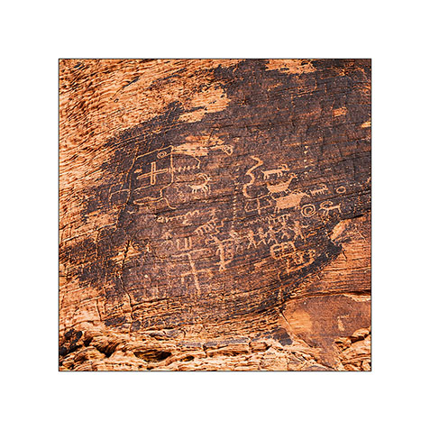
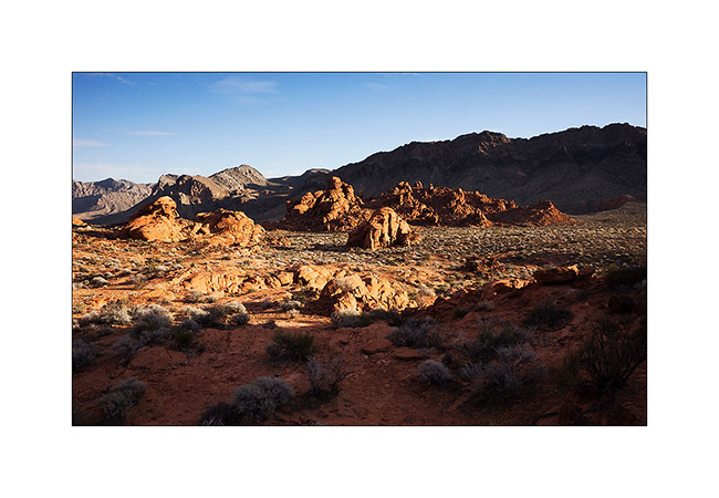
18. The road heading to White Domes.
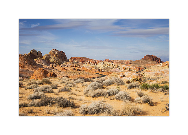
19. Sandstone is veined with various mineral colors.
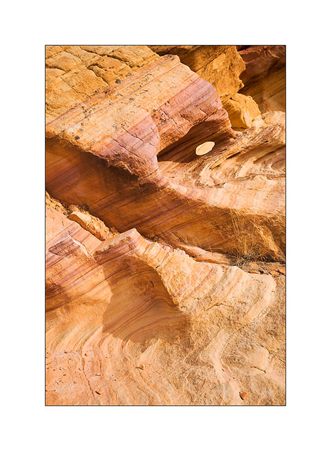
20. Like a petrified wave…
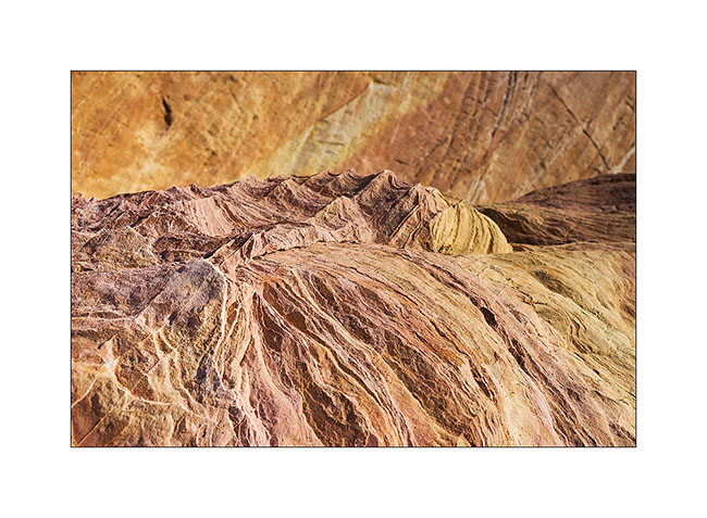
21. Veining…
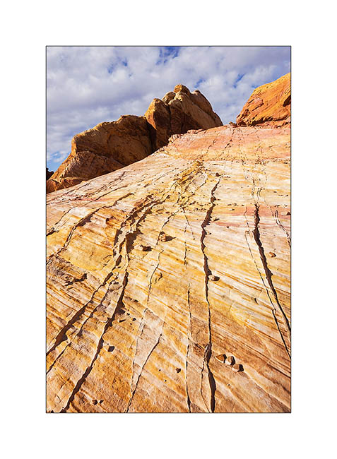
22. Windstone Arch, rather unusual in an alcove of the rock.

23. Late afternoon in Valley of Fire.
That’s it for today. Next step of VivaLaVida’s journey in the coming days… 😀
From Utah to Arizona…
I spent the last days of 2014 between Zion and Gooseberry Mesa, not far away.
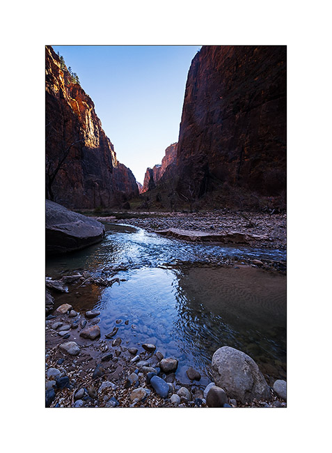
1. The bottom of the Zion Canyon is quite open, with magnificent cliffs.
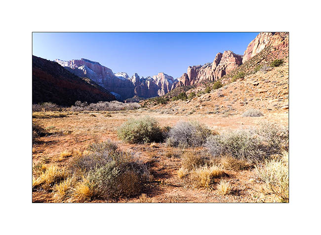
2. Gradually, when going upstream in it, he gently tightens.
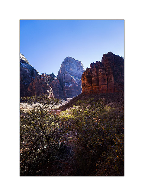
3. Then suddenly, because of a change of rock, it turns into a narrow, a deep trench not wider than the river bed.
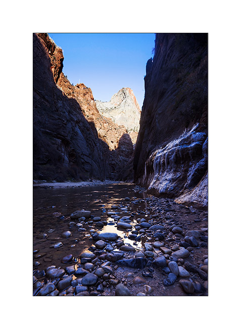
4. Some cliffs are almost vertical walls over 2,000 feet high, really impressive!
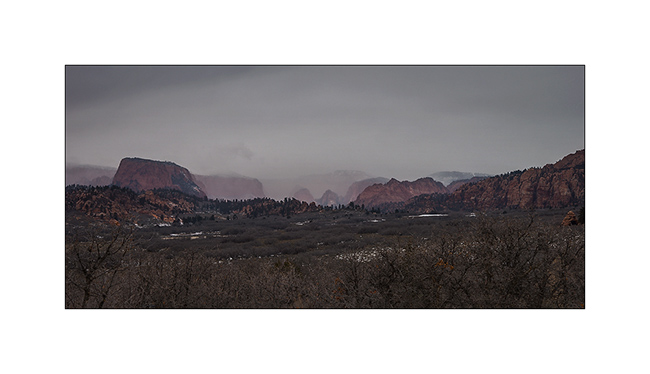
5. Along Kolob Terrace Road while it starts snowing… A few miles further, I will tow the Subaru of two French and two Belgian guys stucked in deep snow. Without VivaLaVida, they would have spent the night there, no one else was up there in this season. A little reckless in my opinion, without even a tow strap…
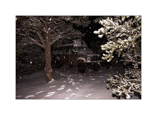
6. I spent my New Year Eve on Gooseberry Mesa, while it was snowing… 😀
7. In the morning, there was about 4 inches fresh snow.
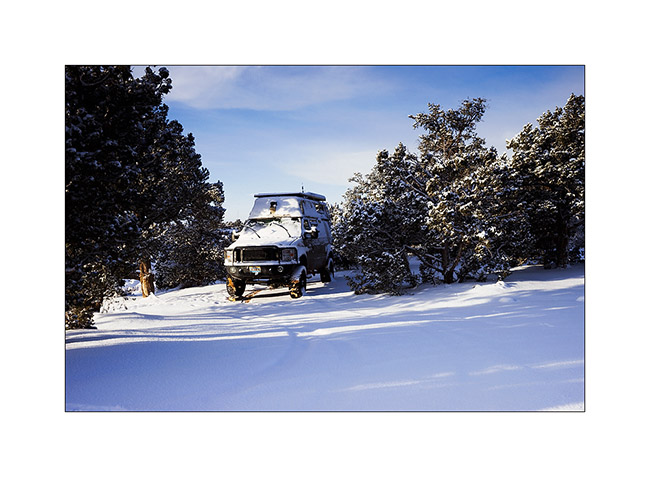
8. The view over the Zion Mountains clears in early morning…
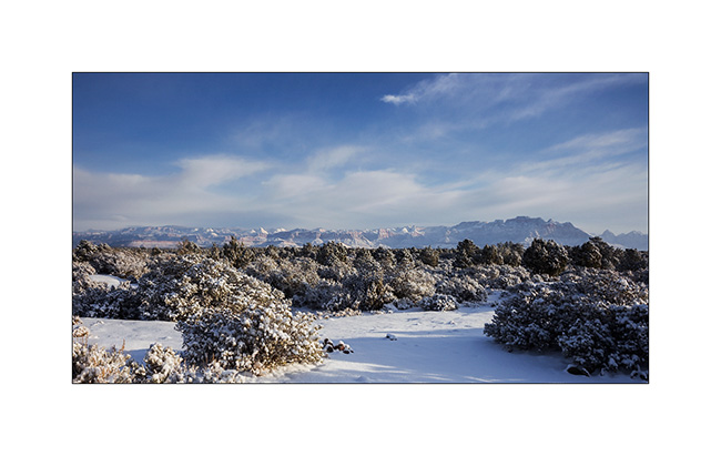
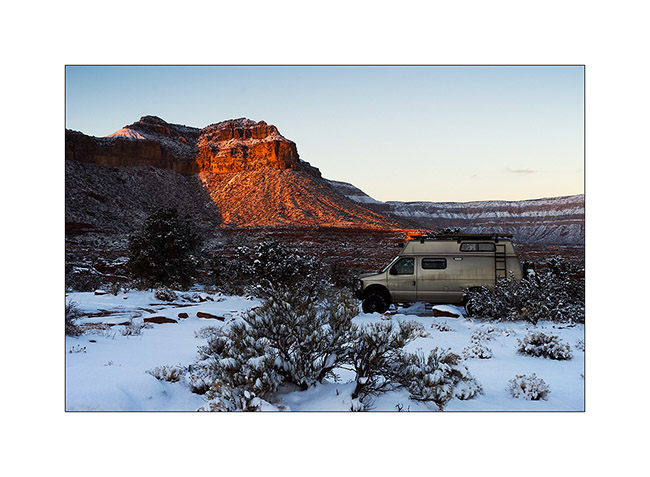
9. Despite the snow that fell the previous night, I tried to reach a viewpoint on the North Rim of the Grand Canyon. It’s a really unfrequented corner because of difficult access via a hundred miles trail, really muddy for the first part, then rocky and quite rough for the last 20 miles and closed in winter. However with VLV capabilities, I reached it in late afternoon when the moon rose.
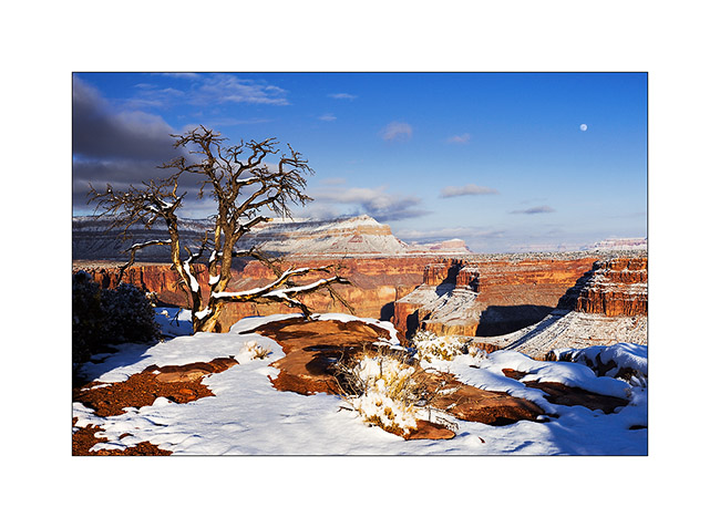
10. Enough air there! I’m on a 20 inches ledge overhanging a truly vertical wall… But it was the only way to show you the Colorado River, exactly 2,890 feet down! 😀
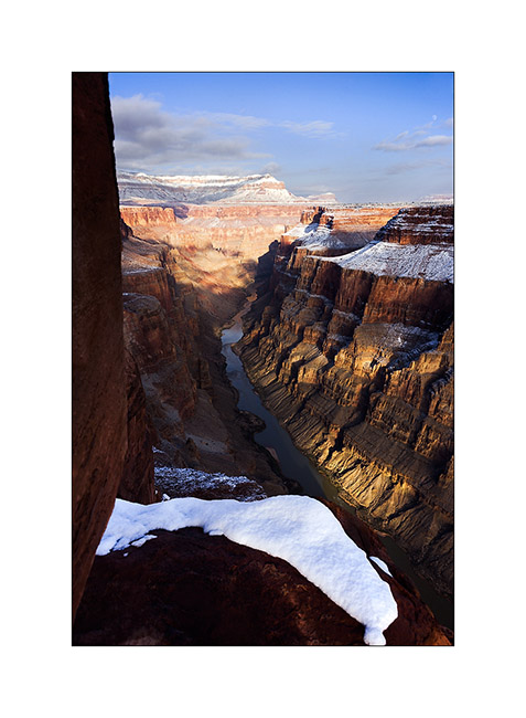
11. Warm last light rays in this winter atmosphere.
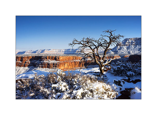
12. The snow fallen a few hours earlier makes patchwork design on the sandstone.
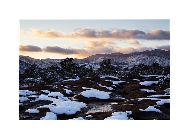
13. The camp will be really cold in the clear night…
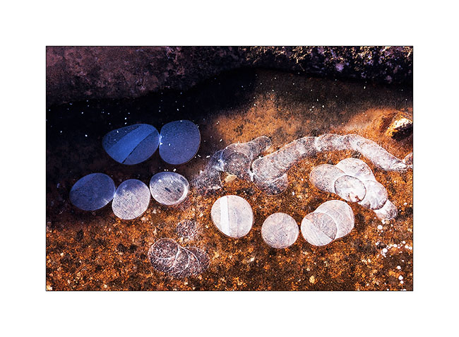
14. The potholes freeze on the sandstone, with beautiful textures. Here, ice pebbles…
15. Down the next day in the canyon to see Lava Bed Rapids, the most difficult rapids of the entire Colorado River. The trail, sometimes non-existent, is very steep in a lava flow that makes walking dangerous, lava stones rolling like bearings under the feet. there is even some climbing in places, hopefully not too difficult because only I wouldn’t have be able to reach the bottom otherwise. A trek to not recommend to everyone anyway!
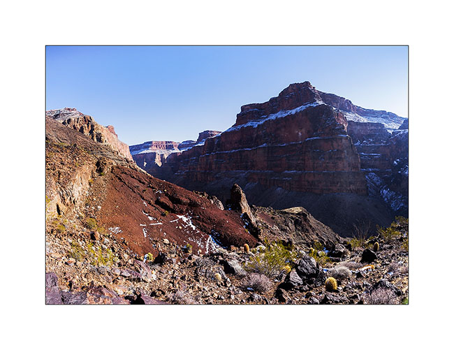
16. Here the rapids, without sun this season. Hard to show the scale as the canyon is so huge but it’s pretty impressive. What a power! I understand that there is a portage trail for canoes…
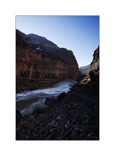
17. The depth of this canyon is just amazing, I fell really small down there!
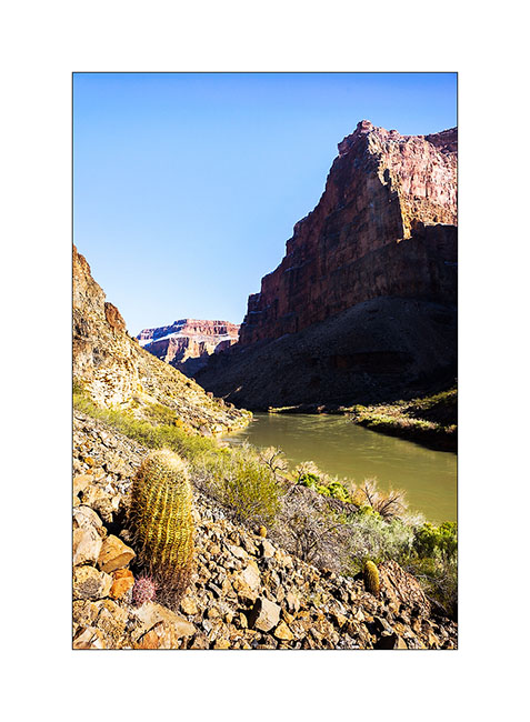
18. Small beach upstream the rapids.
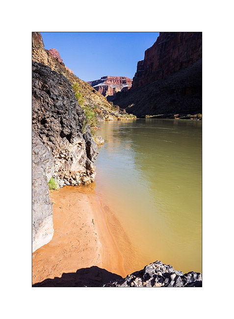
19. I begin the long climb back. Top left is Toroweap Point where I go, 2,890 feet higher! 😀
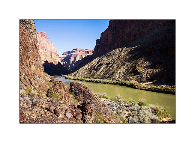
Following of the discovery of this part of the Grand Canyon to come soon!
Zion National Park…
While I’ve been in Utah a few times, I had never gone through Zion yet. The upper third of these mountains consists of Navajo Sandstone. It is a very touristy place and I took advantage of the off-season to discover it.
1. Going up in Zion Canyon, accessible by a paved road.
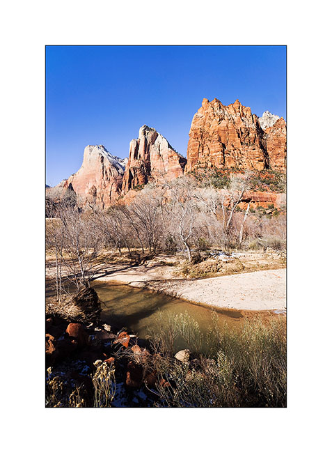
2. Cottonwoods don’t have leaves anymore in this season.
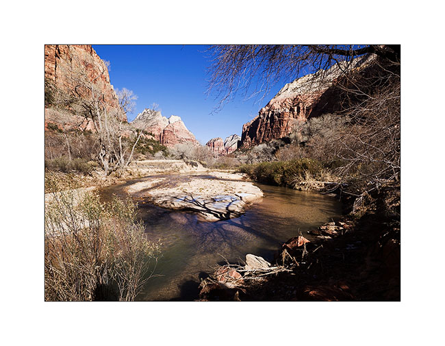
3. Angel Landing. For those who know it, climbing this edge while rock is covered with snow and ice is quite… well… aerial! 😉 I must say that there are a few hundred feet of emptyness on each side and that certain passages are not more than five feet wide.
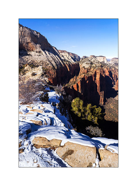
4. Hiking the West Rim trail…
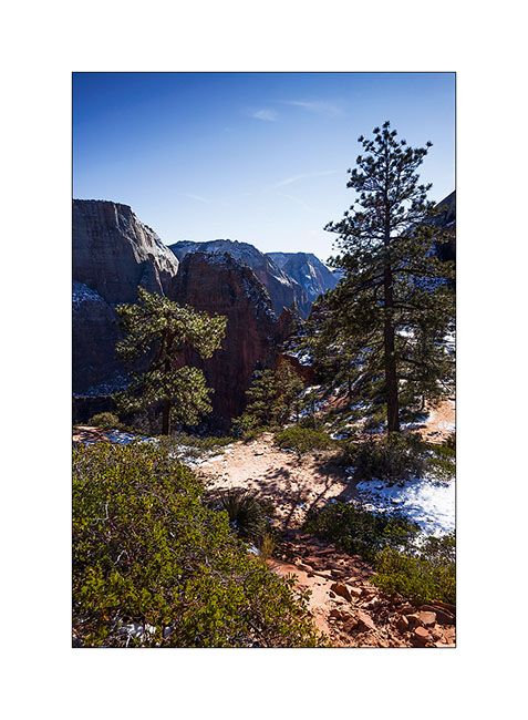
5. Top left, the edge by which one accesses Angel Landing.
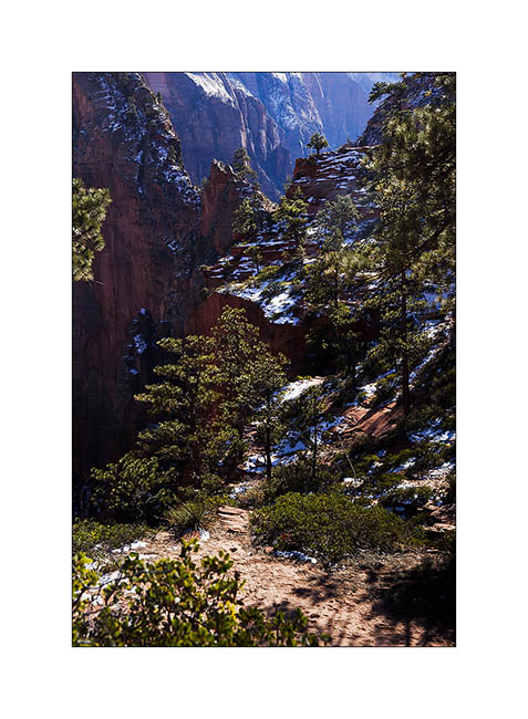
6. Reaching Navajo sandstone in characteristic light color.
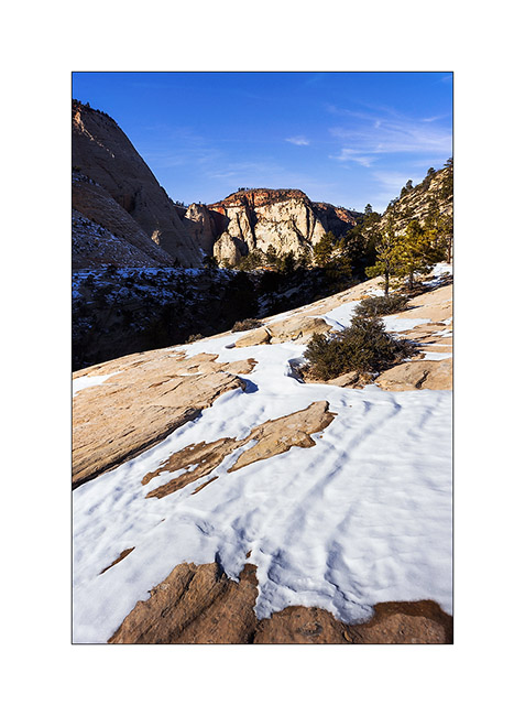
7. Toward South…
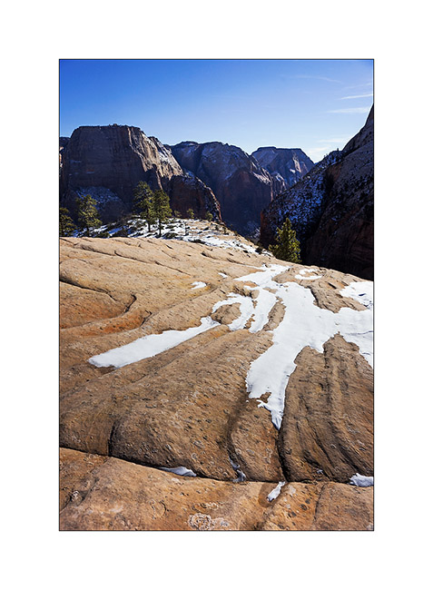
8. Lower Zion Canyon in late afternoon.
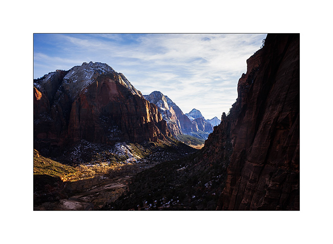
9. From my camp… 😀
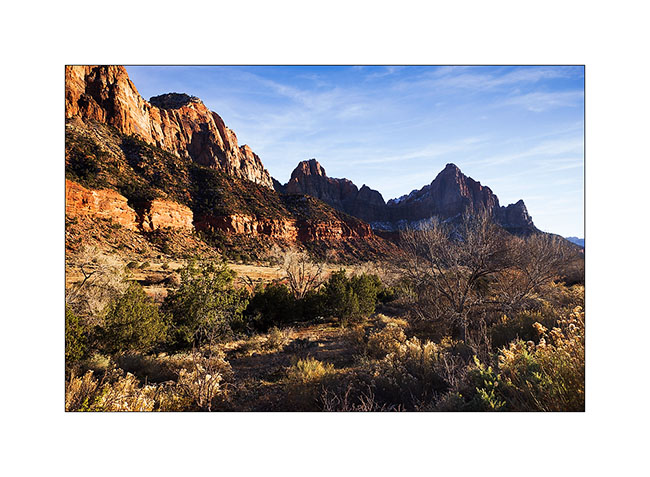
The next morning, after obtaining the required permit because the hike is quite engaged, I went for a long hik of about 14 miles. Rather than hiking, I should say a gymkhana! Except for the first two miles, it’s going upstream in a torrent crowling large blocks, constantly going up and down, crossing fifteen times the water at 37F, skating on snow and ice, without any sun… In short, something not to recommend to anyone, especially in this season. Moreover, the ranger looked at me with surprised eyes when I asked him for the permit, saying: “Do you really want to go ther in this season?”. 😀
Why this hike you might think. To exploreng a rather exceptional slot canyon, the “Subway” as it’s called.
10. While there is still about 2 miles to go, the canyon is still open and small waterfalls jump down rock stairs.
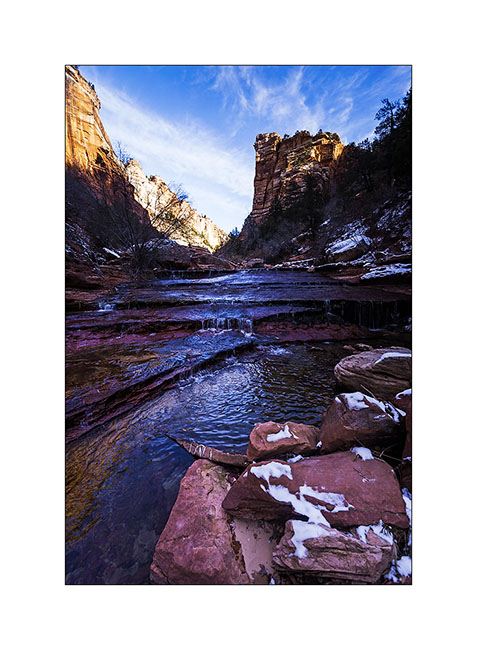
11. The most photographed waterfall, less than 1 mile down the slot canyon.
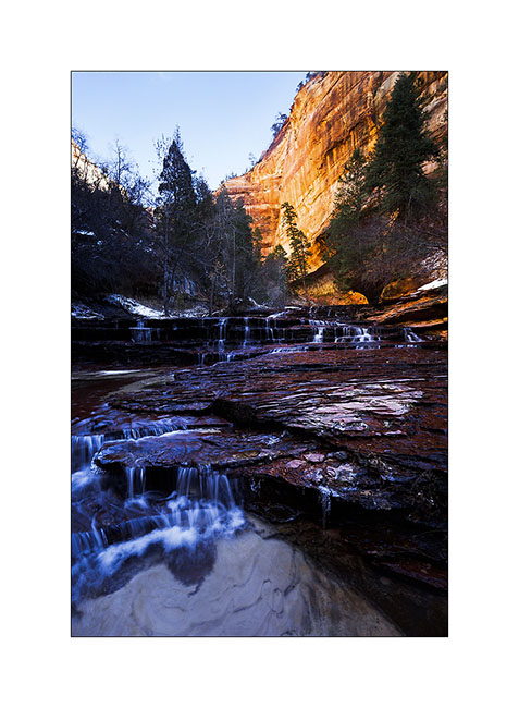
12. Here is the entrance of the slot canyon with its characteristic form that earned it its name.
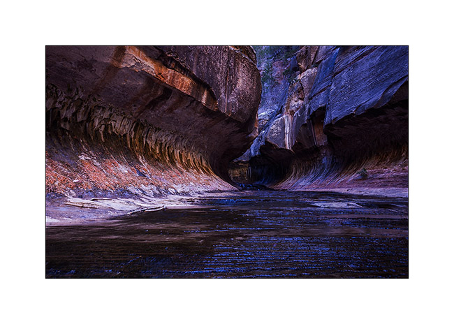
13. Floods of the river dug a kind of tube-shaped hose.
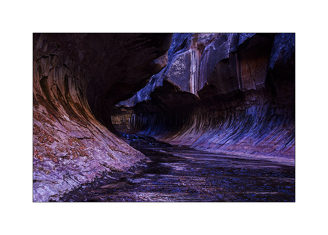
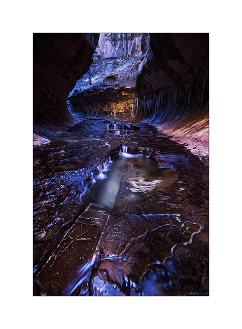
14. The “turning” from downstream.
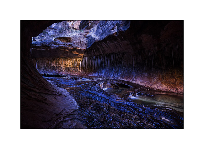
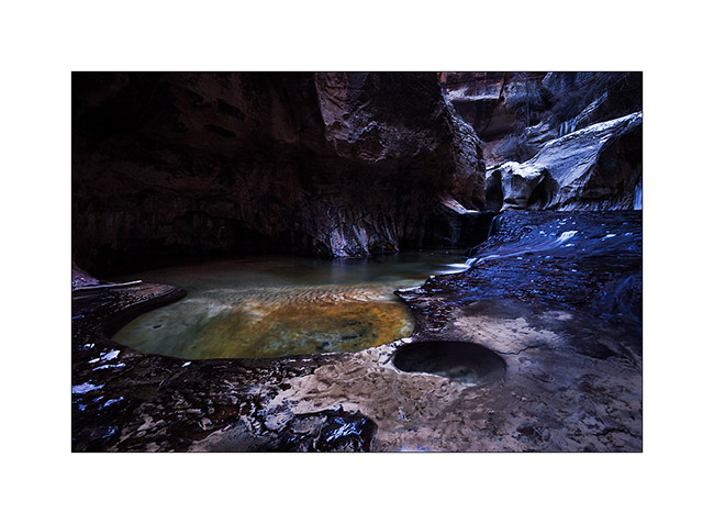
15. Small waterfalls dug a series of pots where the water is emerald.
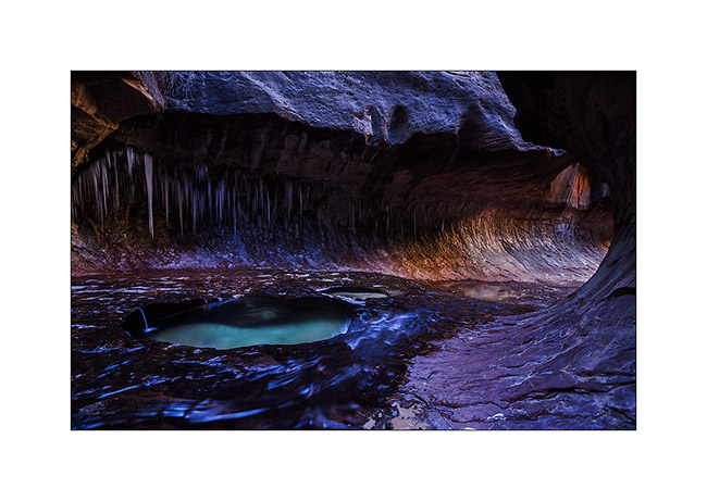
16. Above, the canyon reopens before closing again. It requires climbing equipment to continue.
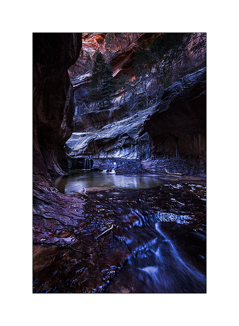
17. Beautiful pots.
18. The turning from upstream.
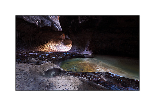
19. Coming out of this incomparable canyon…
That’s it for today! 😉
To be followed in some days…
Bryce Canyon in winter…
Finally, not far from Bryce Canyon, snowfall inspired me to go discover it in his winter coat…
1. Start on Christmas Day. Warmer than the night before but snow and blizzard formed small snowdrifts while rocking me all night long… 😉
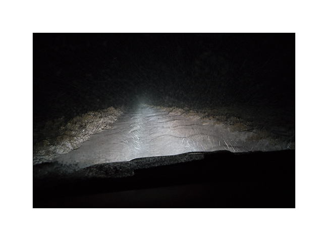
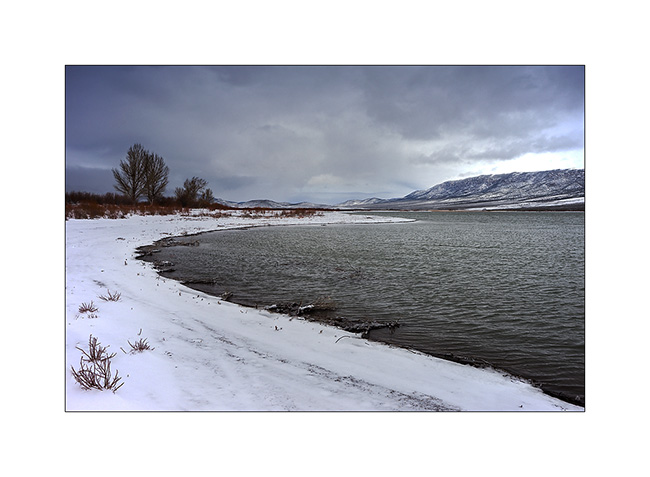
2. Small lake along a country road, between two flurries…
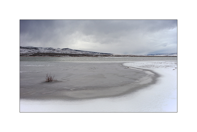
3. It is large enough to not be completely frozen yet. I saw two great eagles, probably on the lookout for some fish to eat.
4. Arriving near Bryce, I first discovered a secondary cayon, less known but beautiful too.
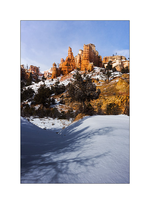
5. It was partly dug by the water of an irrigation canal built upstream by Mormons a hundred years ago.
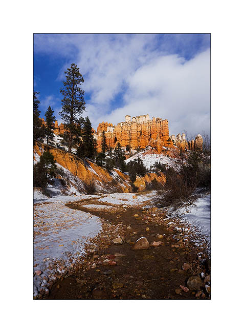
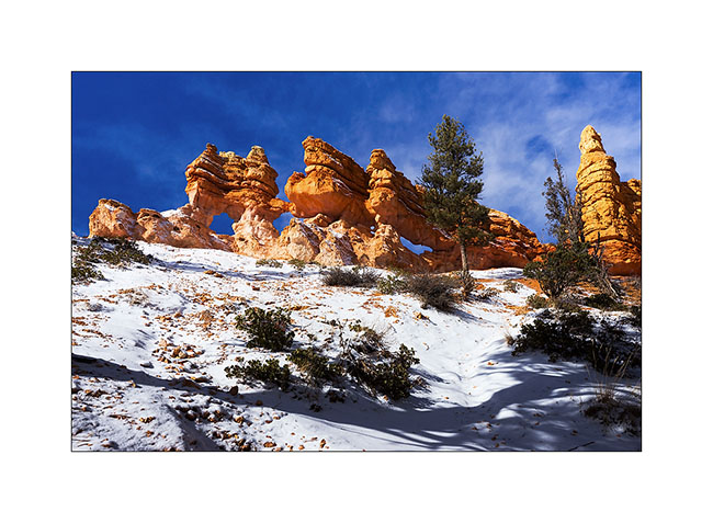
6. Triple arch on an edge.
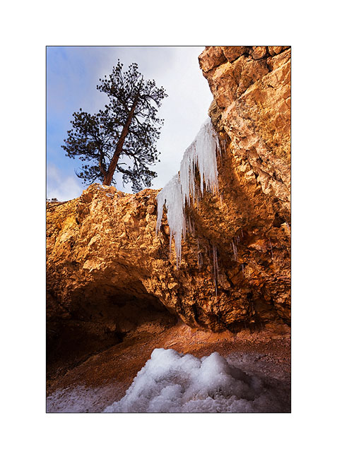
7. A small waterfall almost completely frozen…
8. I arrived on the heights of Bryce Canyon between scathing snow showers and blue sky. It was 15F and for once, there wasn’t many people there, only some Japaneses and Hindous.
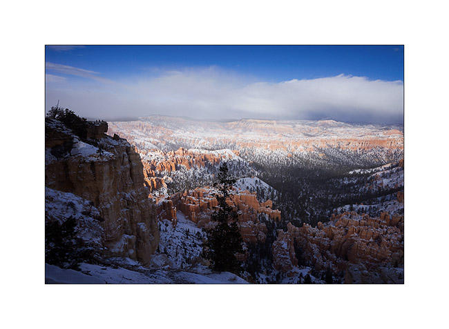
9. While I go down into it, snow showers give a wintry atmosphere…
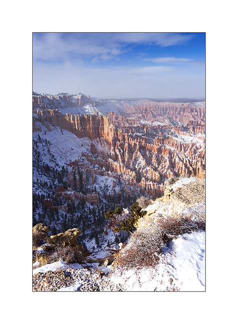
10. Then shower fades…
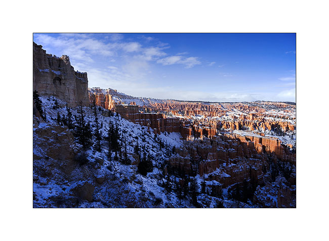
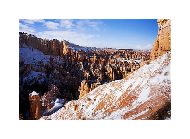
11. The white-red contrasts give a very different face of this exceptional place…
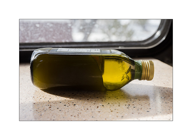
12. The next night was one of the colder than VivaLaVida has had to endure: -10F to her thermometer. Olive oil even froze in the closet… 😉
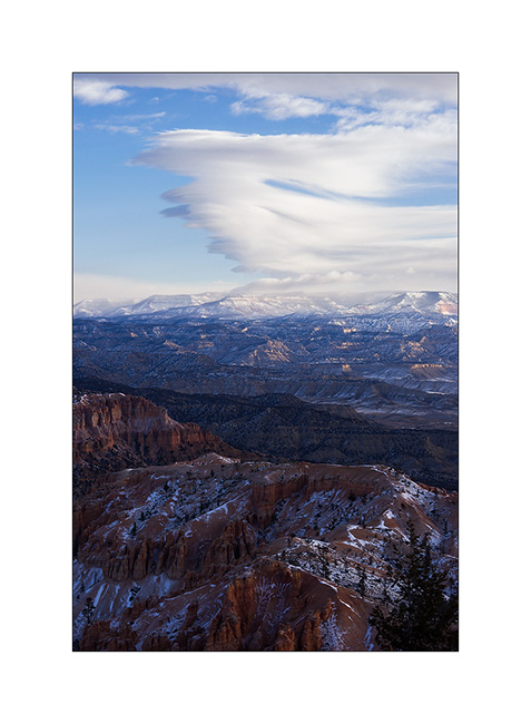
13. Wind creates clouds that cause snowing on the mountains while the rest of the sky his quite blue.
14. I went hiking in an annex canyon of Red Canyon, not far from Bryce and less known but also interesting to me.
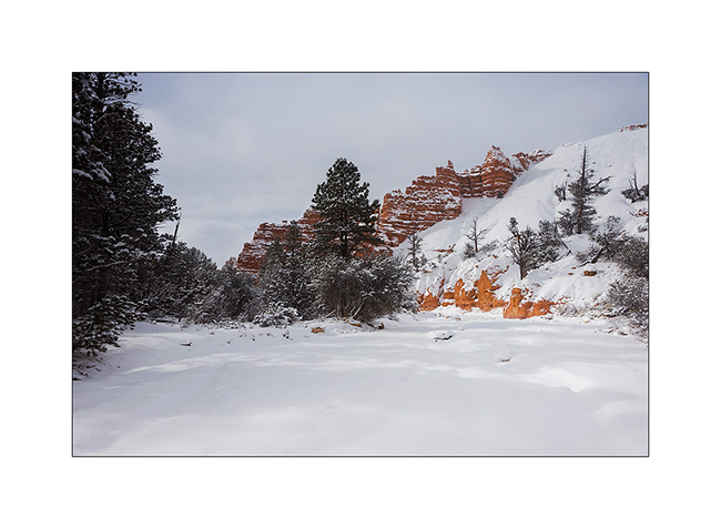
15. Hoodoos are everywhere.
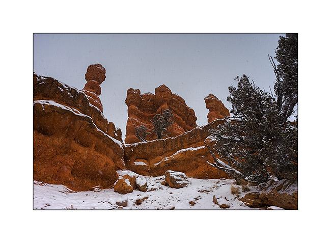
16. I even find that unnamed arch.
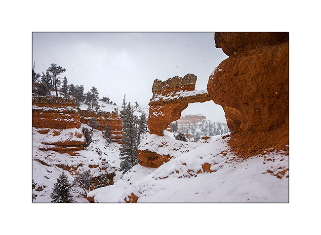
17. Almost ten inches powder snow fell in this wilderness.
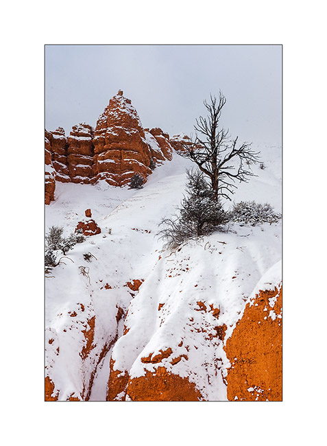
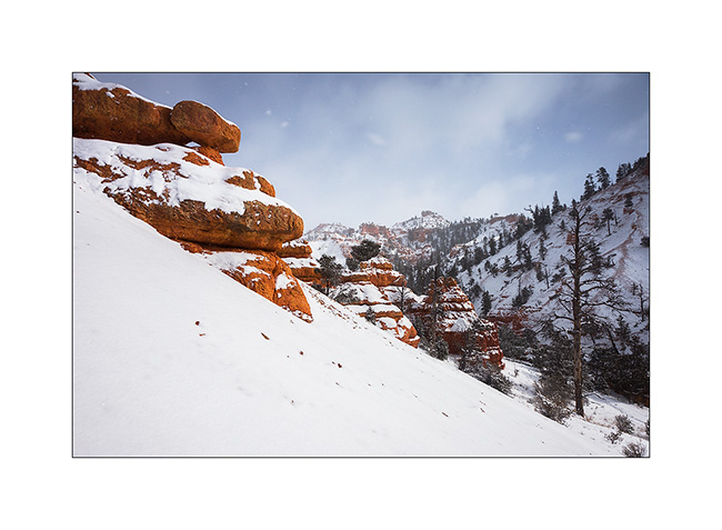
18. And he still snosw under showers while the wind blows almost as a storm.
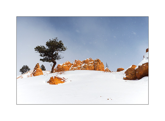
19. Going down to VLV in late afternoon.
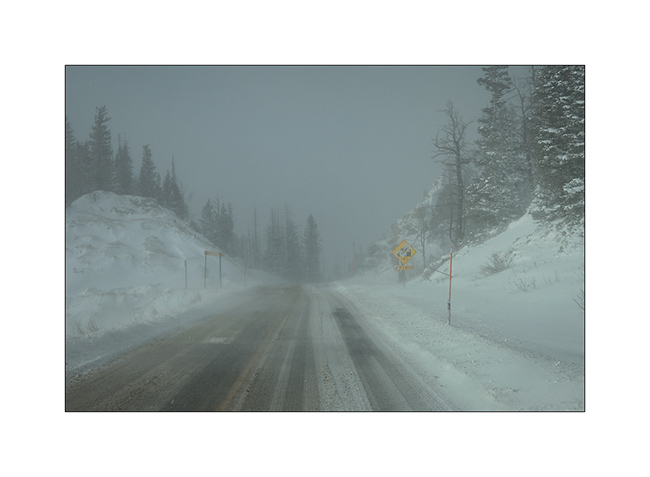
20. That road conditions we had at almost 10,000 feet above sea level, near Cedar Break inaccessible due to snow.
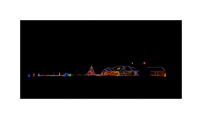
21. Down to warmer altitudes, an example of bright Christmas decoration that you Americans love. 😉
Change of scenery to come in the next update… 😉
 D5 Creation