February, 2014
now browsing by month
Big Bend National Park (2)
Waiting on the laundry to finish, here is an update posted from La Paz, Baja california. 😀
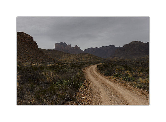
We continue the River Road driven by VivaLaVida in Big Bend NP.
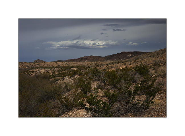
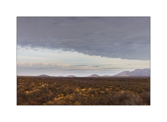
1. Clouds are coming…
2. Survival…
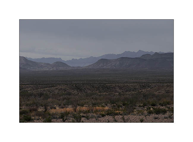
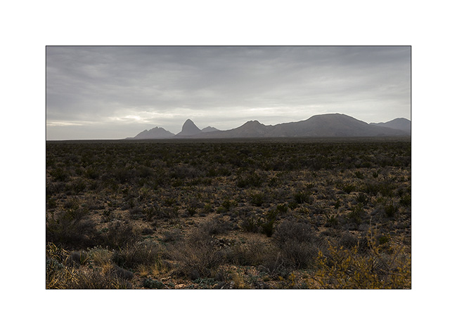
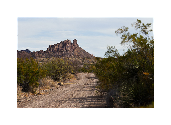
3. Mountains in Mexico…
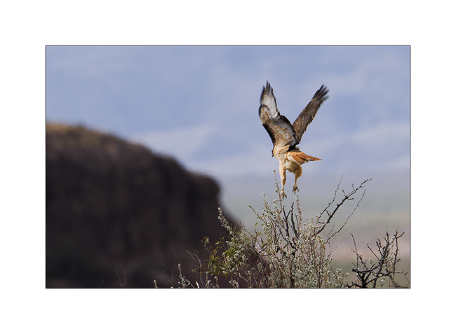
4. I disturbed him…
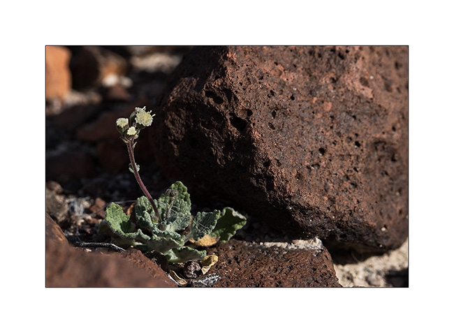
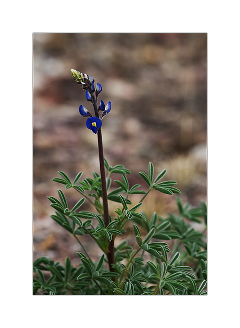
5. Another flower.
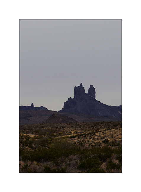
6. The “Mule Ears” mountain…
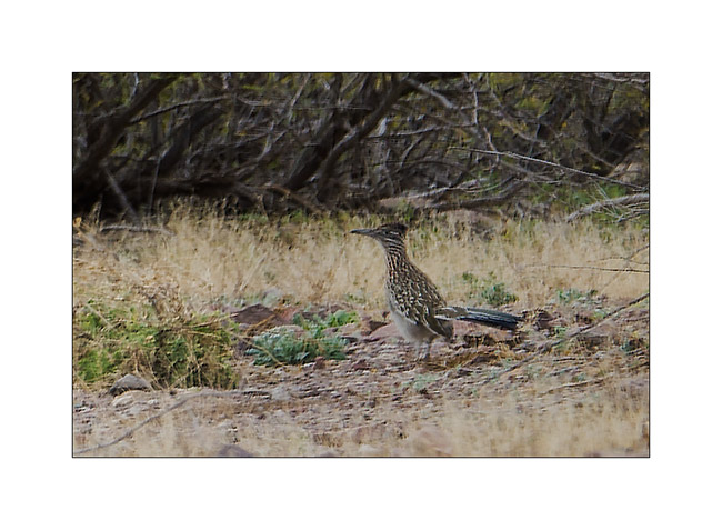
7. I got it ! 😉 Sorry for the poor quality of the picture but the roadrunner runs really fast, till 20 mph to catch lézards he eats. The picture is cropped but it’s the only one I managed to take even I saw a lot of these birds…
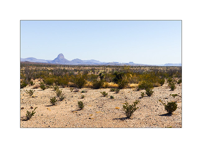
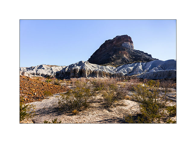
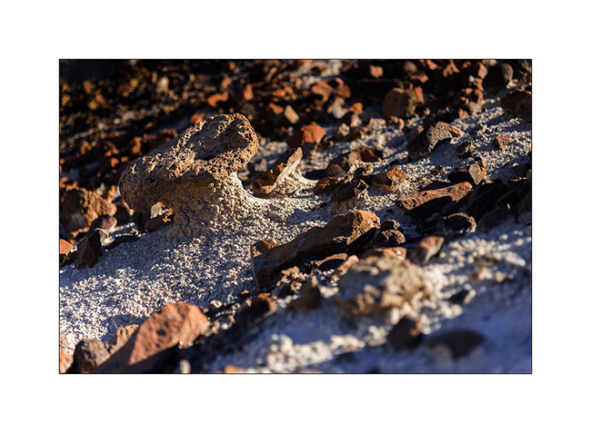
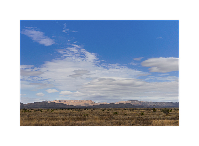
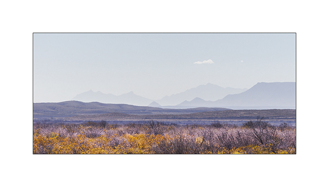
8. South of the Chisos Mountains…
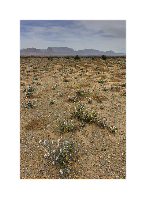
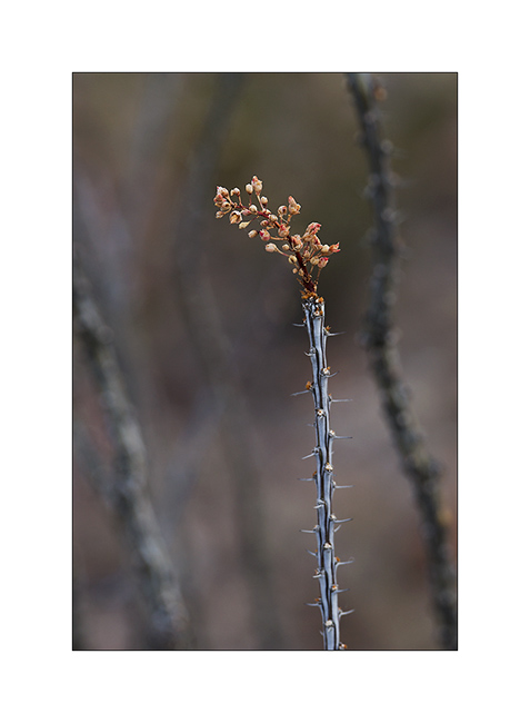
9. Still some desert flowers…
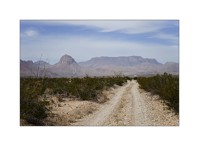
10. The road goes up North.
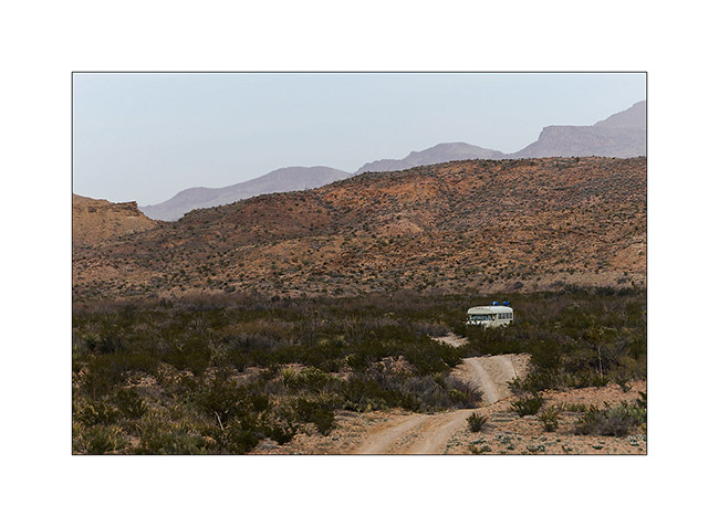
11. “Magic Bus”..? 😀 For those that kanow, just a reference to the movie “Into the wild”…
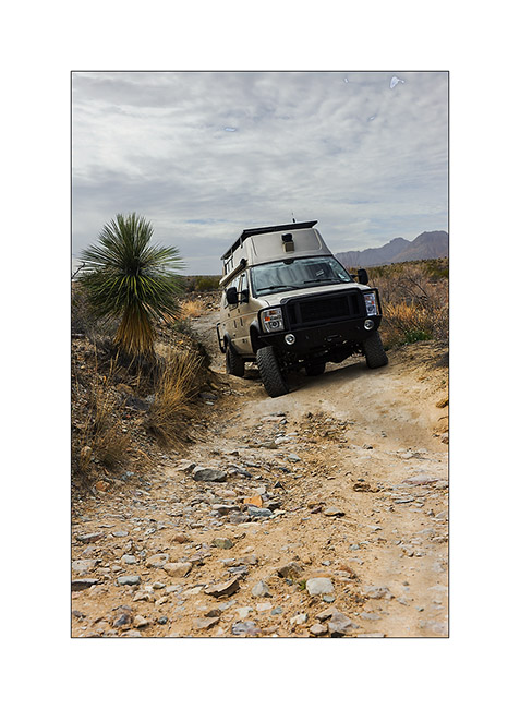
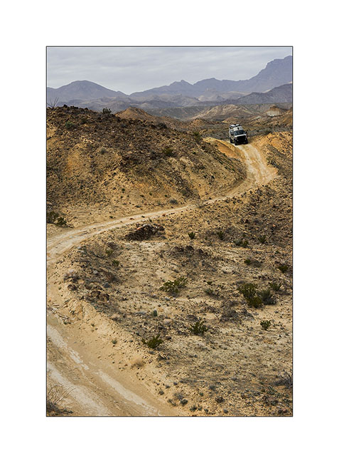
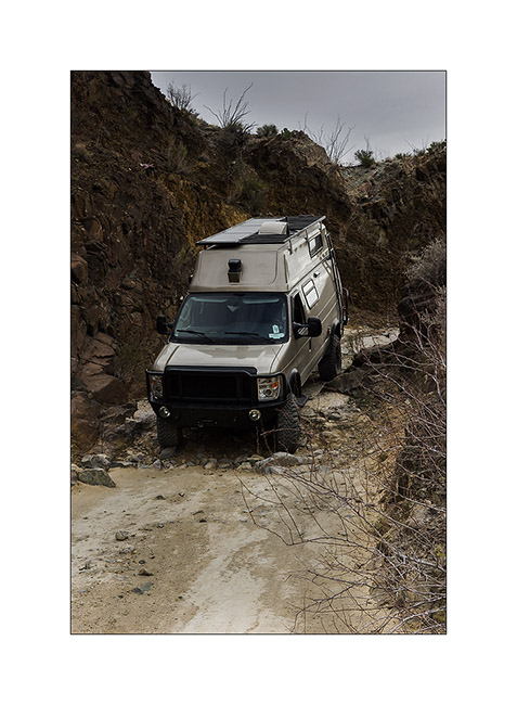
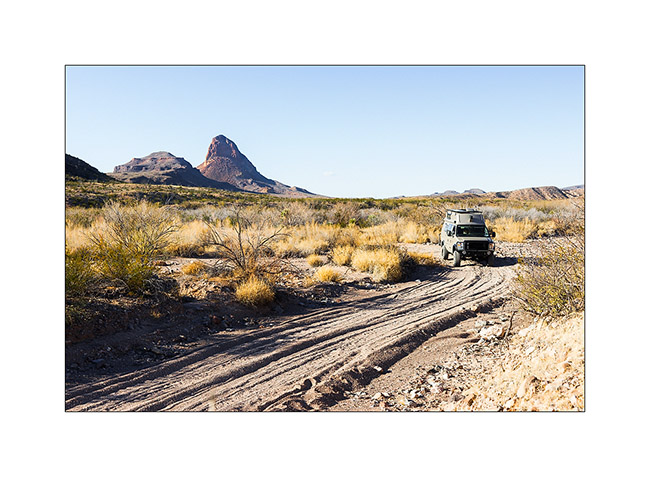
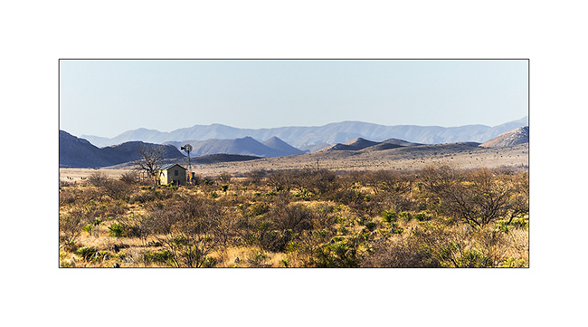
VivaLaVida then took an unmaintained road and needed three hours to drive 5 miles.
12. Down in a wash…
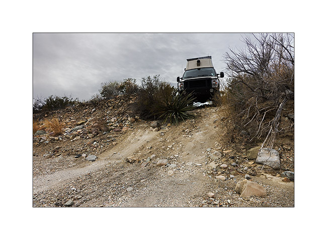
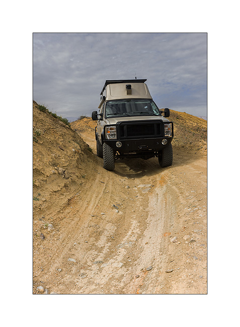
13. Axle crossing…
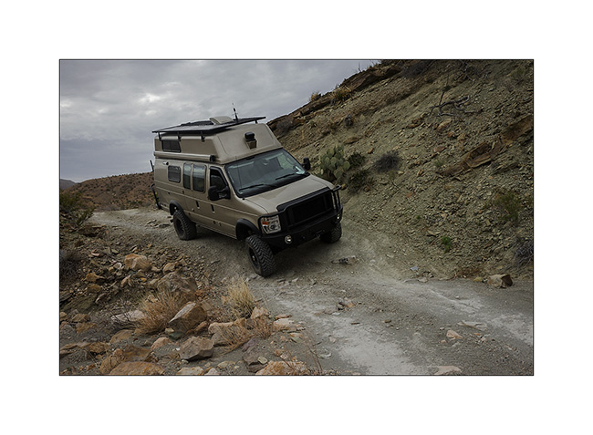
14. A part of the road in better state…
15. … but still partialy ashed out.
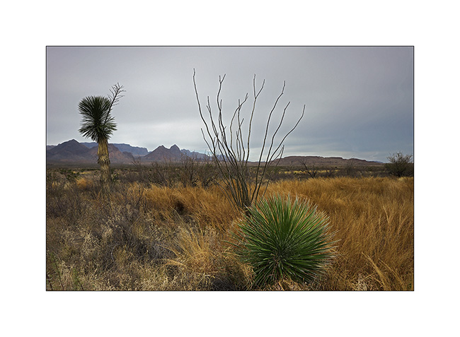
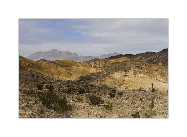
16. The landscape is gorgeous despite the gray sky and the wind rising.
17. Nice step!
18. It leans quite a bit! 😉
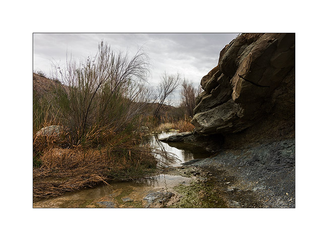
19. At the end of this portion of the track, arriving at Glenn Spring where there was quite a bit of water.
20. But the sandstorm rose on the plain…
21. VLV went then back up to the Chisos Mountains to spend the night…
To be followed…
Big Bend National Park (1) : Rio Grande river
I just have one hour before to meet Andrew to go boondocking in the Anza Borrego Desert tonight and crossing the Mexican border tomorrow.
This update is entirely devoted to Big Bend National Park which borders with Mexico 137 miles along the Rio Grande.
1. Arrival at Study Bute…
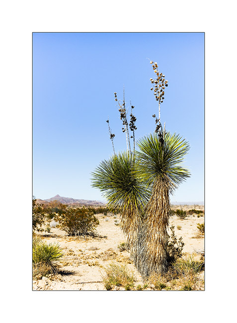
2. Vivalavida through fields of wild yucca…
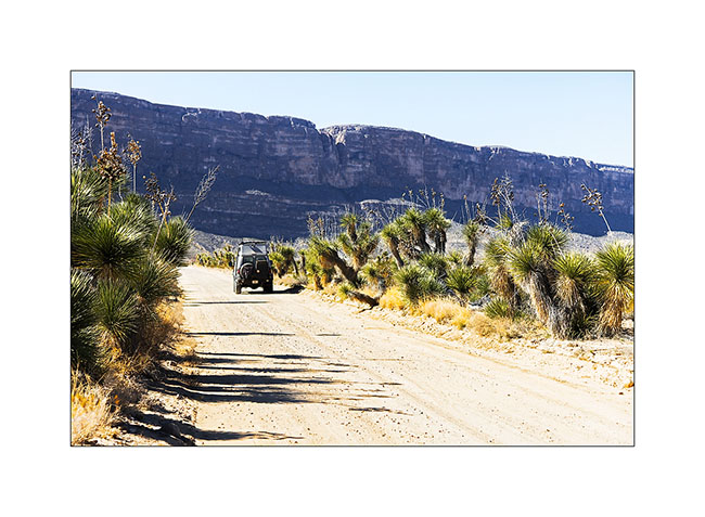
3. … which sometimes reach impressive heights!
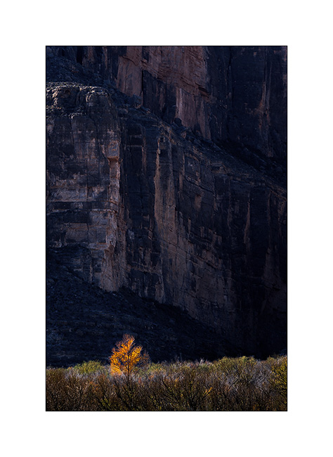
4. Near the wonderful Santa Elena Canyon, this solitary caught my eye…
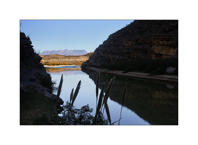
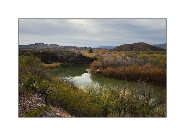
5. The Rio Grande River out of the canyon.
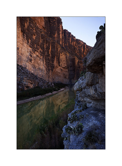
6. Mexican side: the cliffs are 1500 feet high!
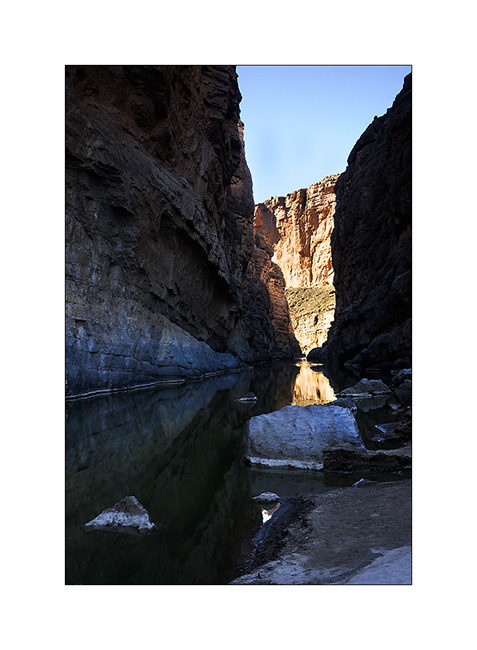
7. End of the trail that goes upstream for about one mile. Even though it was tempting, I haven’t tested my kayak here because navigate the Rio Grande requires a special permission sice it forms the border…
8. Reflection on the Mexican side…
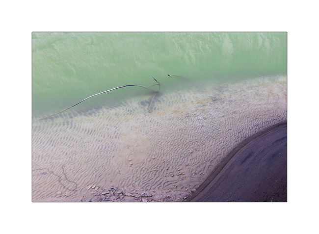
9. Sweetness of a micro beach…
10. Returning to my feet with the Chisos Mountains in the distance…
11. Erosion near the Harmonia…
12. Mushroom… 😉
13. Vivalavida then followed the river on the border following an uncrowded dirt road.
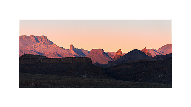
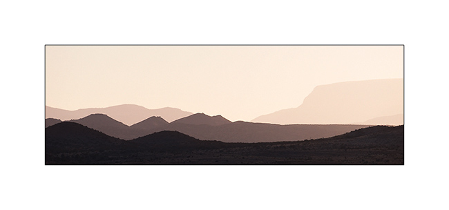
14. Sunset on the Chisos Mountains…
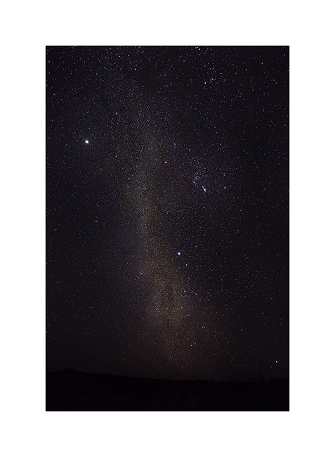
15. The nights here are deemed darkest of the U.S, no light pollution around to alter the purity of the atmosphere. Here northward…
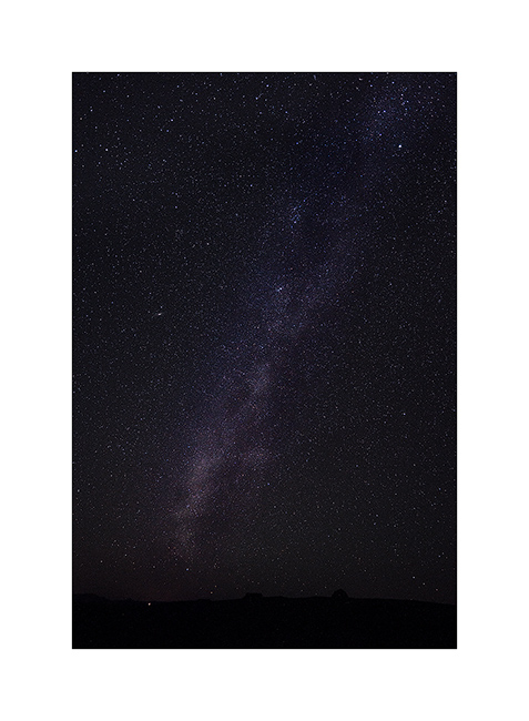
16. … then south, with Orion and Jupiter high in the sky.
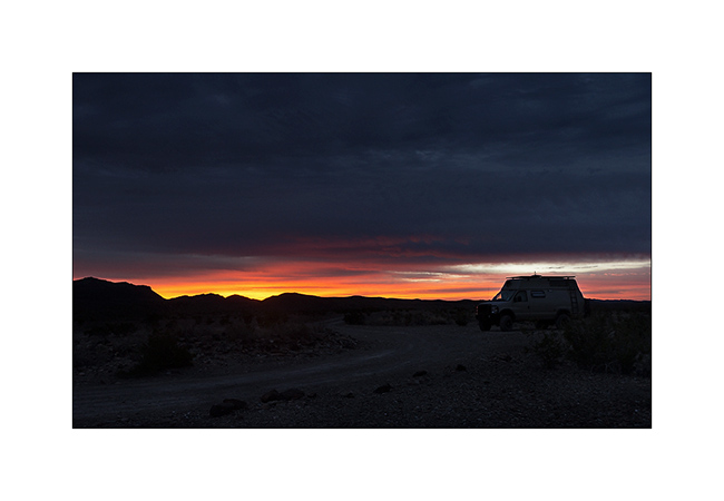
17. Early morning at my boondocking site.
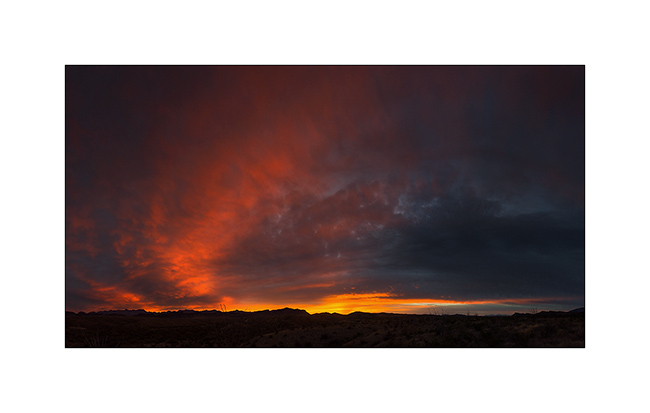
18. Fantastic sunrise! (panoramic of 5 vertical images)
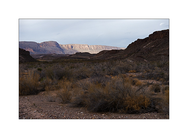
19. Mexican mountains so close…
20. Rio Grande arm.
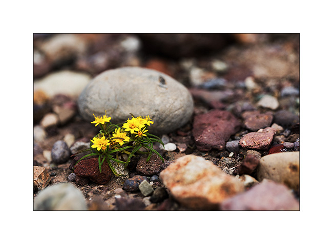
21. Flowering…
22. Another color touch…
23. Chisos Mountains foothills.
To be continued in a few weeks or sooner if I fin some network to post…
Thank you for your loyalty at all, it’s really nice! 😀
Still in Texas…
Here a new update, a little closer to the last one because I will normally leave Sunday for four weeks in Baja California where I likely won’t have connection possibilities. It will therefore be a small “black out” on the blog, you will not mind me… 😉
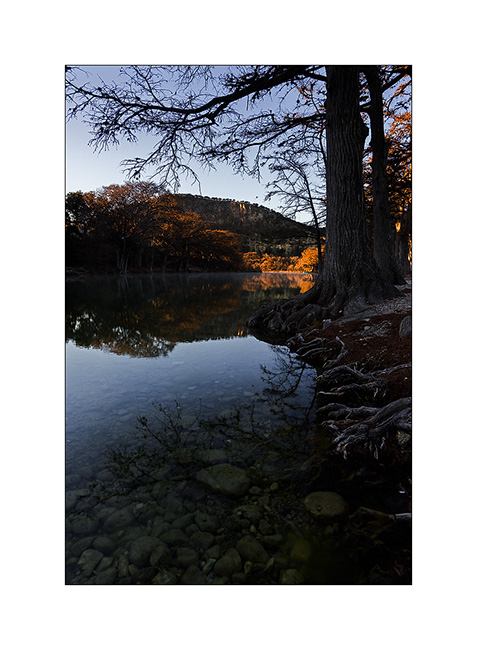
Continuing my way westward, I made a quick stop for a night in the beautiful Garner State Park, on the banks of a beautiful river. it was cold, 24 in the morning, but the atmosphere was quiet in this desert period…
1. Garner State Park.
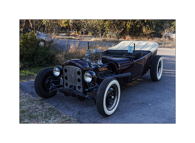
2. What a hot road ! This one traveled from Ilinoi..! 😀
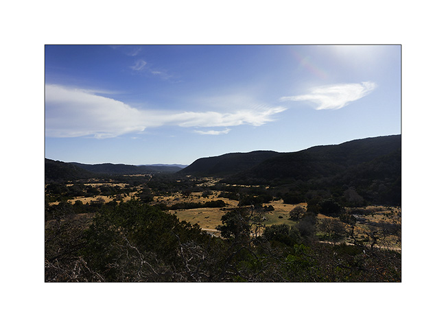
3. Across gentle hills making me thinking about some places of Lozère, South of France…
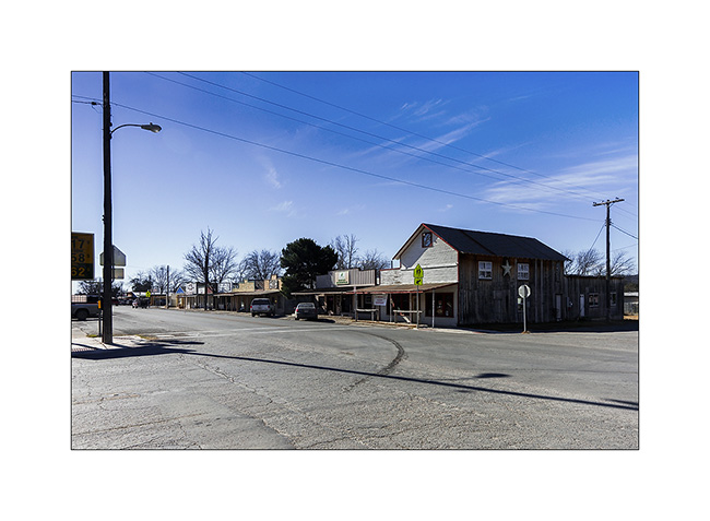
4. Small town of Camp Wood, quite picturesque…
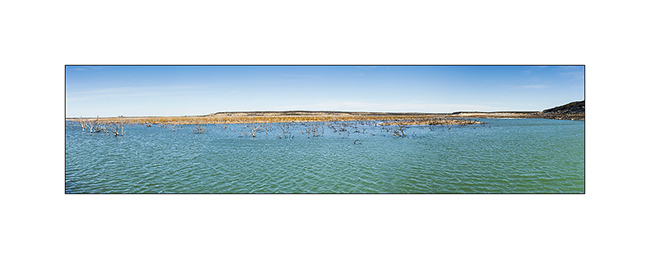
5. Amistad Reservoir, an artificial lake North from Del Rio.
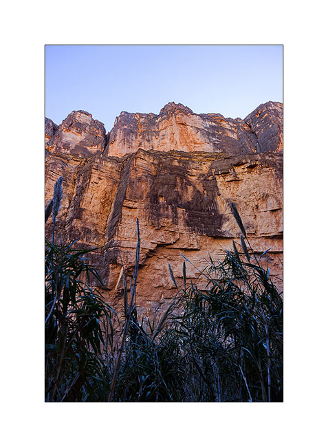
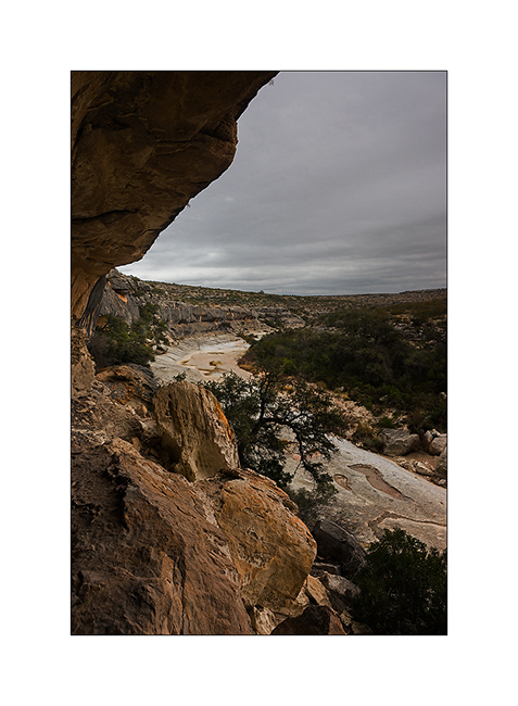
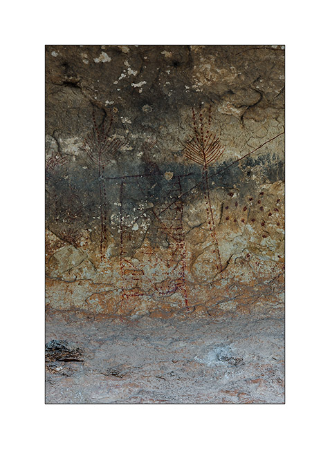
I made a stop at Seminole Canyon, an important site for its petroglyphs. It’s a deep canyon carved in limestone and adjacent to the Rio Grande.
6. Going down to the canyon…

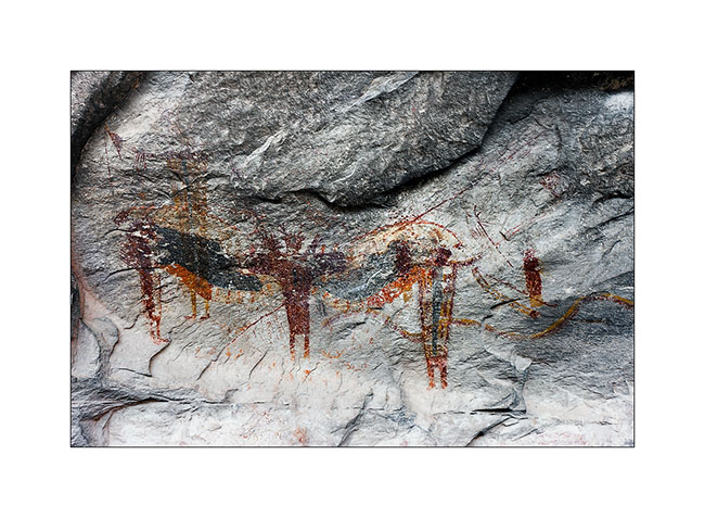
7. After a short ascent, entry under the overhang used as shelters by the indigenous Indians approx. 4,000 years ago.
8. Petroglyph 1: the winged man, probably a shaman…
9. Petroglyph 2 : men and animals
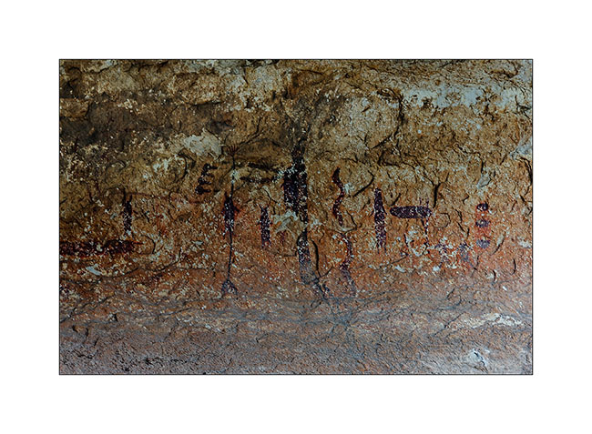
10. Petroglyph 3: a large centipede
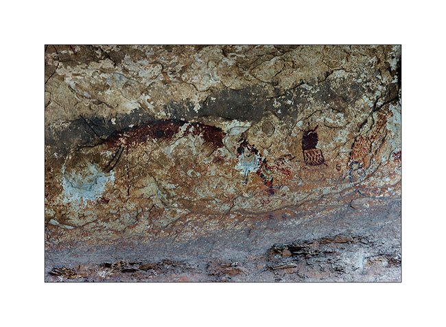
11. Petroglyph 4 : this one, which cannot really know what it represents, is exceptional because only discovered on this site. It has no known equivalent to date…
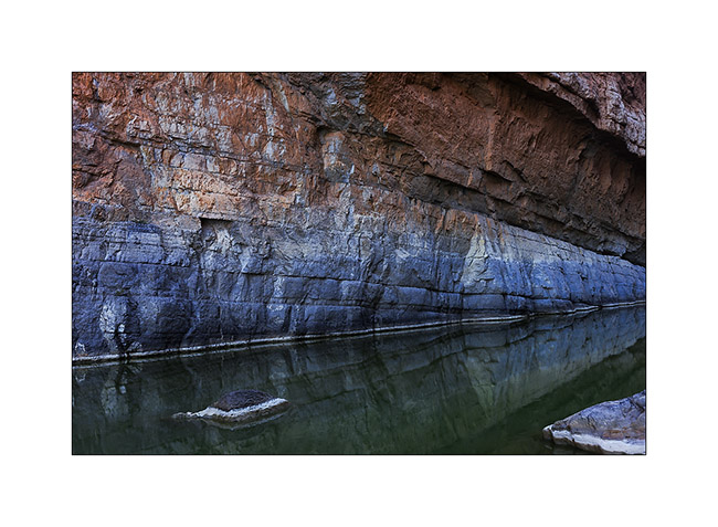
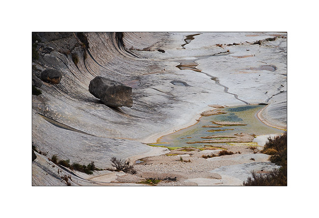
12. Going up the canyon, spectacular view of the limestone hollowed and polished by the water…
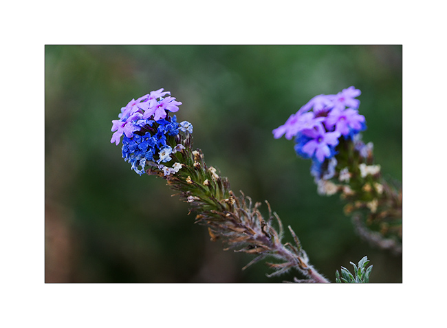
13. Small flowers on my path, rare in this season…
My route continued west till Marathon TX where I received my folding kayak, a small wonder White Water approved. I’ve also had good intestinal haywire that stoped me three days in the small camping… I then veered south to go to the Big Bend area, which borders Mexico.
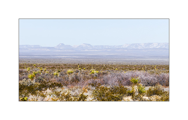
14. Entry in the Chihuahuan Desert.
15. Arid desolation…

16. From the Marathon campground…
17. Sunset on the mountains…
18. On the road to Alpine TX.
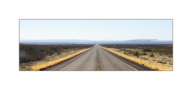
19. Immensity south of Alpine…
20. Endless straights … The longest to date for VivaLaVida was 73 miles..!
21. 78F that day. But the amplitudes are terrible on the continental shelf where no mass of water mitigates. I had several times high seventies and 36F at the best of the day two days later, with good frosts at nigh, even an exceptional 19F for this region…
So much for this update. The following will take you to Big Bend National Park, where I spent a week discovering some places where only one vehicle as VivaLaVida could take me… 😀
Central Texas…
Firstly, some of you may have noticed that a new page appeared in the main menu, which shows the way of Vivalavida since mid December. It’s along this line that you can find the sites of my pictures images. This line represents the path of Vivalavida but doesn’t include mountain bike rides or hikes I did. Maybe coming in a future version
From Austin, I went discovering several sites in central Texas. I didn’t expected Texas as rich in beautiful places.
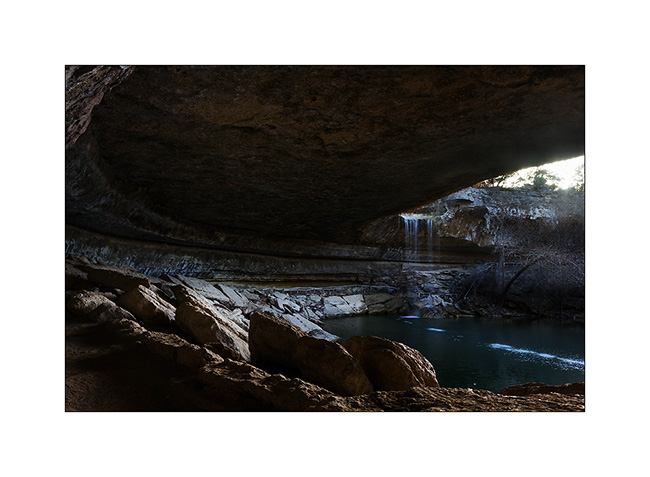
It begins with the Hamilton Pool, a wonder created by a small river which falls into a natural pool partly dominated by a large vault.
1. Arrival on the site (panoramic of 4 vertical images)
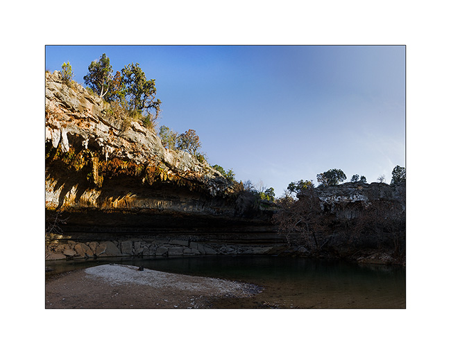
2. A real wonder… 😉
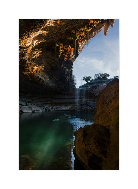
3. Suspended vegetation…
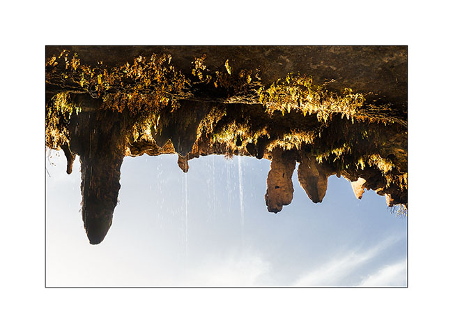
4. The impressive vault that covers part of the pool.
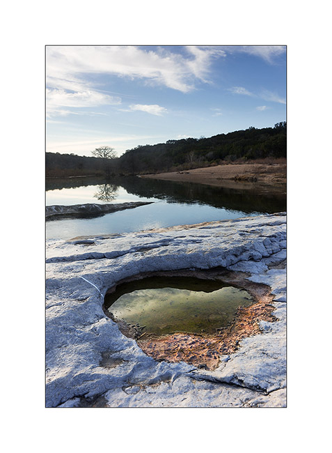
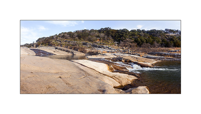
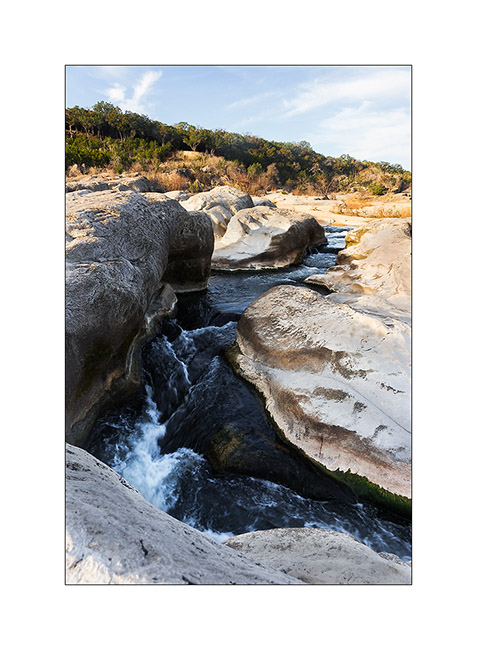
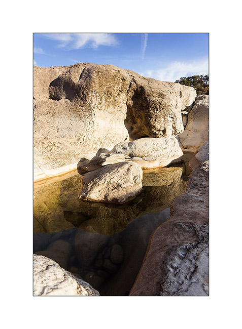
Few tens of miles to the west, I went to the Pedernales Falls The river falls down a few tens of feet in successive stages. A beautiful place in the morning light…
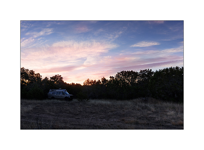
5. Boondocking and early Wake up to enjoy the morning light on the river…
6. First pot in the limestone.
7. The falls.
8. The river carves its way into the rock…
9. Details…
After my tour of the falls, I looked some birds in a quiet corner…
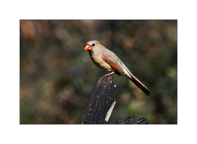
10. Female cardinal…
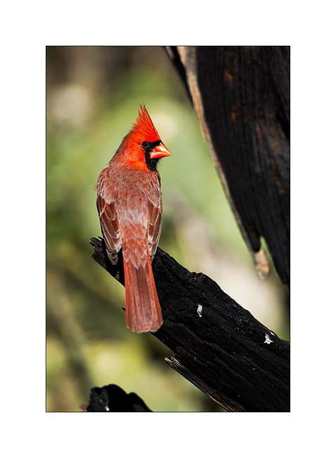
11. … and her male.
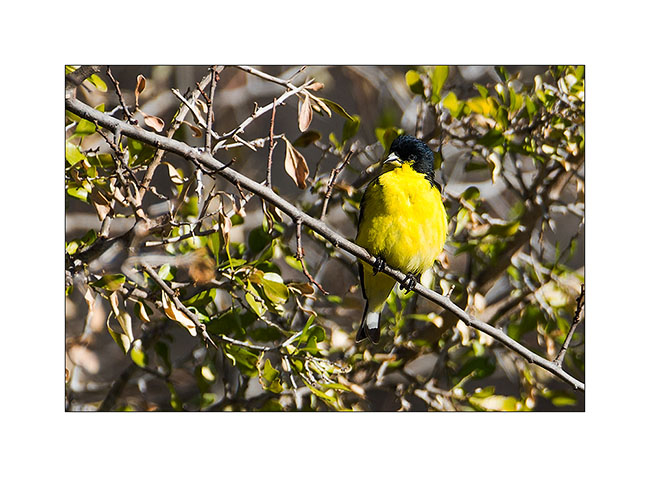
12. Bright yellow for this lesser goldfinch (I guess)…
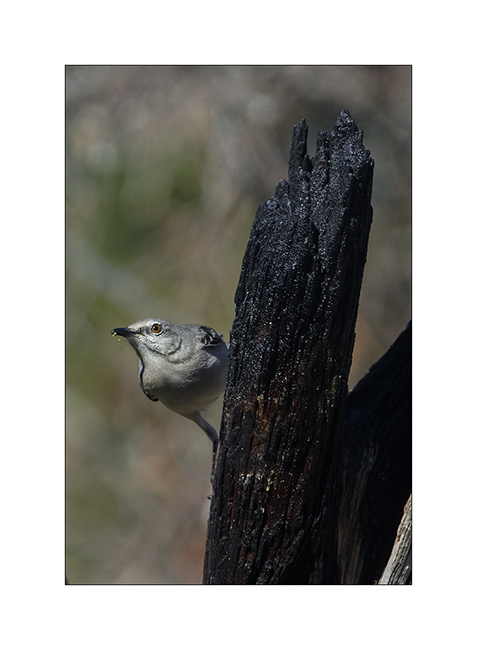
13. A mockingbird.
14. A house finch.

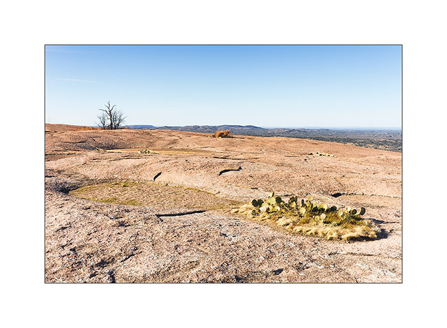
A few miles further west, I enjoyed a nice walk on Enchanted Rock that bears his name. A wonderful serie of red domes. It was quite crowded since that Monday was holiday in Texas…
15. Large boulders at the foot of the dome (panoramic of three vertical images)
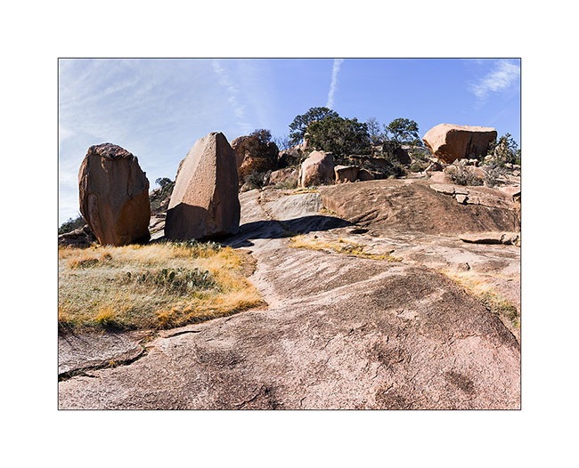
16. Throughout the climb, forms sculpted by the wind and dust are amazing.

17. Arrival on the summit of one of the domes…

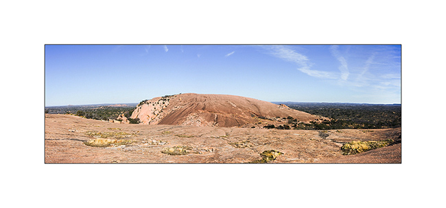
18. The main dome (panoramic of three horizontal images)
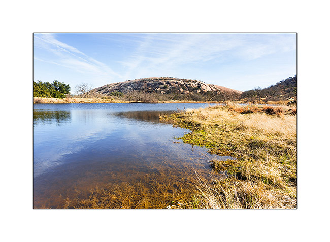
19. Behind, I walked to a small lake for a different point of view…
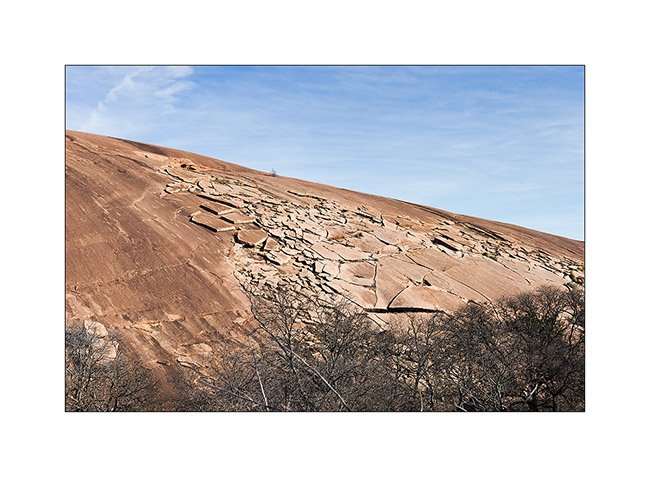
20. The mountain peels..!
21. Marks on the rock…

22. At the top of the main dome, the view is endless…
I then continued my travel to the west and will present soon other nice Texas locations! 😀
Stay tuned for more to come…
Texan coast and some urban…
I’m back after ten days of no man’s land in the extreme southwestern Texas and I find a Wifi to write this small update (I have a little delay, sorry… 🙂
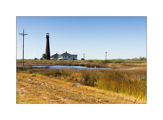
After the episode of mosquitoes, I continued my journey on the coast of the Gulf of Mexico to Galveston Island. Galveston is a known beach resort, southeast of Houston, but almost deserted at that time of the year.
1. Lighthouse next to my road…
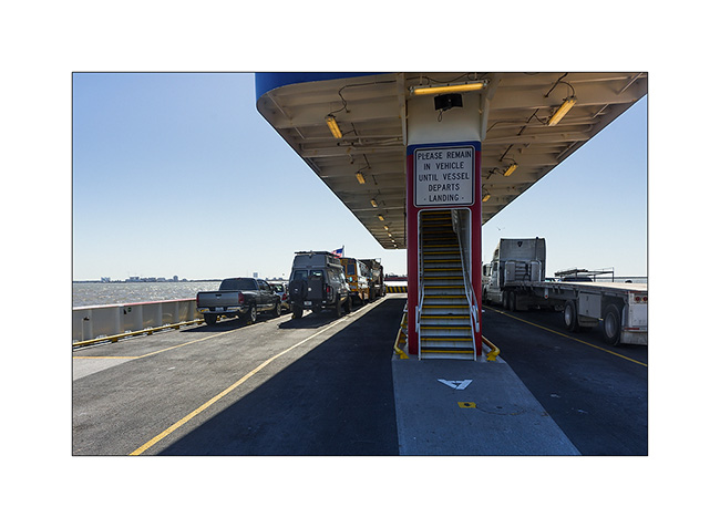
2. VivaLaVida on the ferry to Galveston.
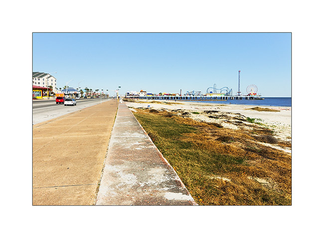
3. Jetty in Galverston
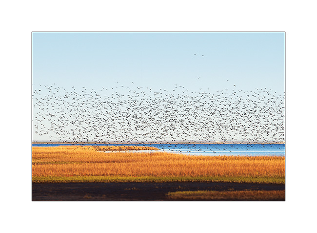
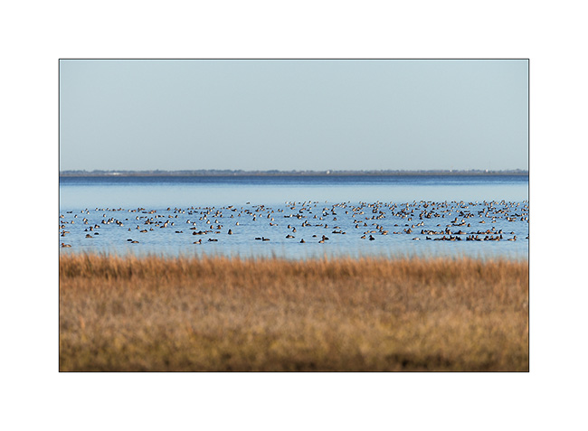
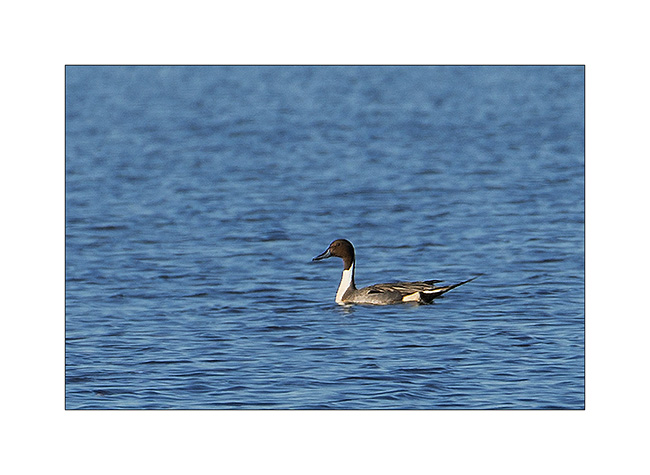
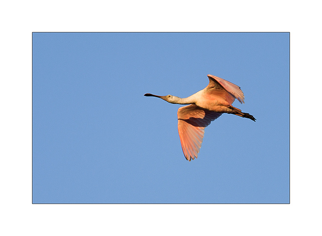
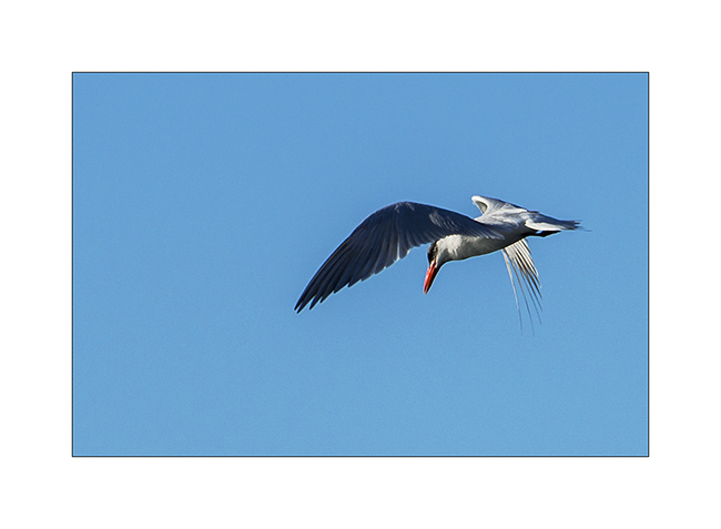
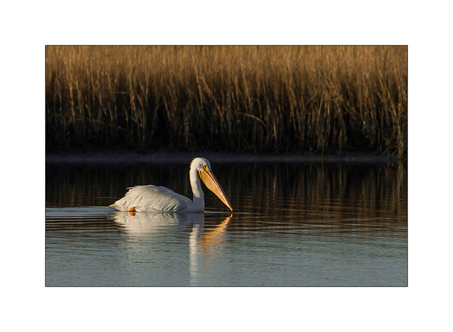
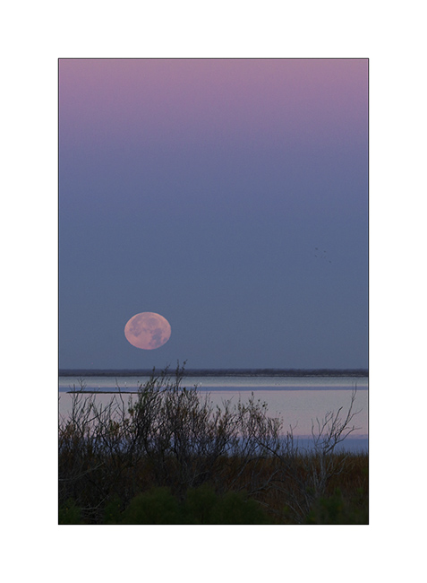
The west side of the island is remained wild, protected by a State Park. The island forming an inland sea isolated from the ocean, it’s a haven for thousands of migratory birds, including some rare. I stayed two days to observe them and I will present here some.
4. Early arrival of thousand of Red Heads.
5. Group breakfast…
6. Elegant duck.
7. A rose spoonbil…
8. A march oak.
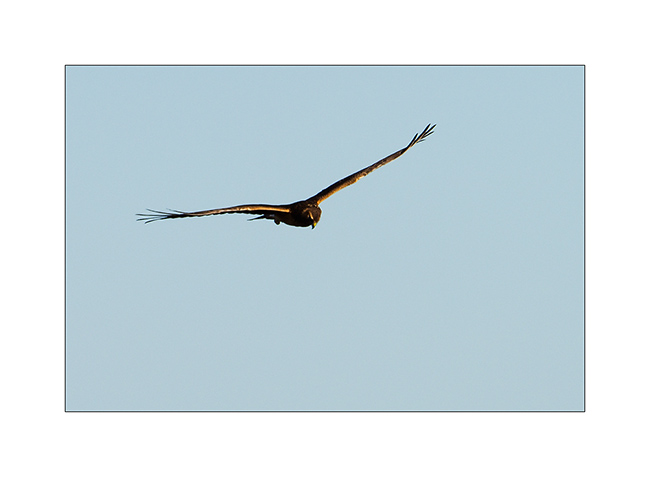
9. Stern hunting…
10. White pelican.
11. Full moon in early morning…
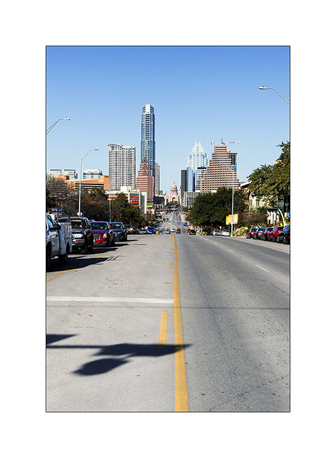
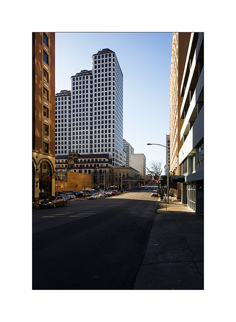
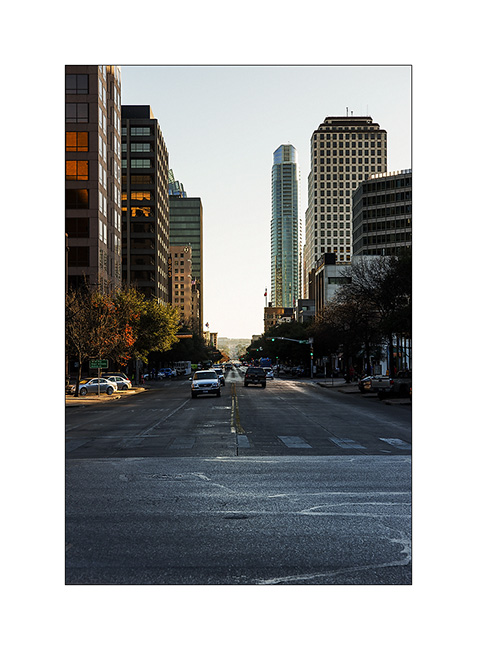
I then headed to Austin, a nice city a little different from other Texas cities. Cosmopolitan and a little European style, I spent a day and a half. There is Live Music everywhere, whole streets where there are bar after bar on both sides, in each Live Music from 2 to late in the night … It was sunny and quite warm, in the seventies…
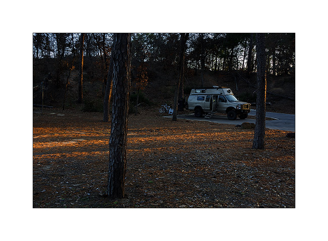
12. Camping before Austin…
13. Downtown Austin
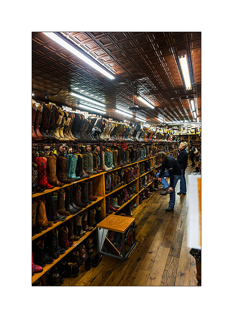
14. Boot shop…
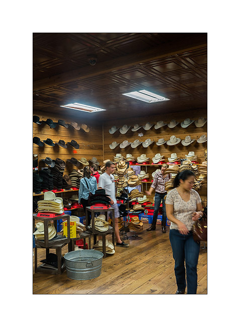
15. … and texan hats!
16. Some urban…
17. A big foot.

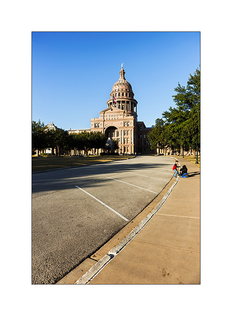
18. The State Capitol.
19. Commerce Street…
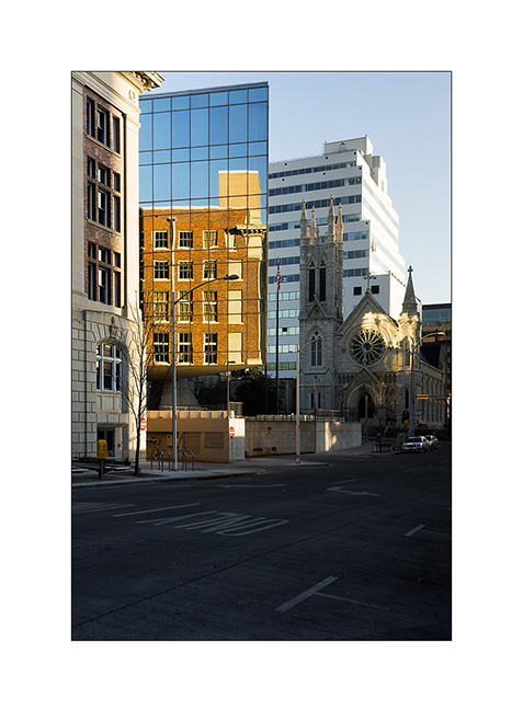
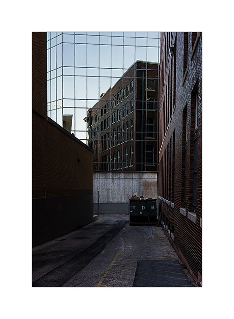
20. Reflection…
21. Back street…
That’s it for these images of this beautiful city where I felt that life seems good. The next update will take you to west Texas, discovering some wild places along VivaLaVida’s road…
 D5 Creation