Archives
now browsing by author
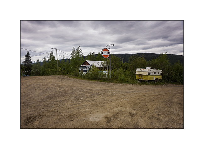
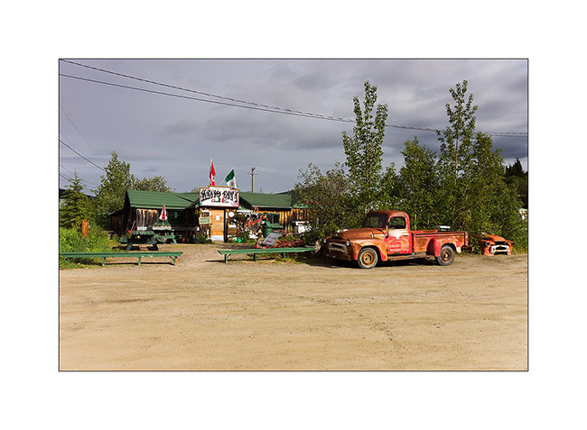
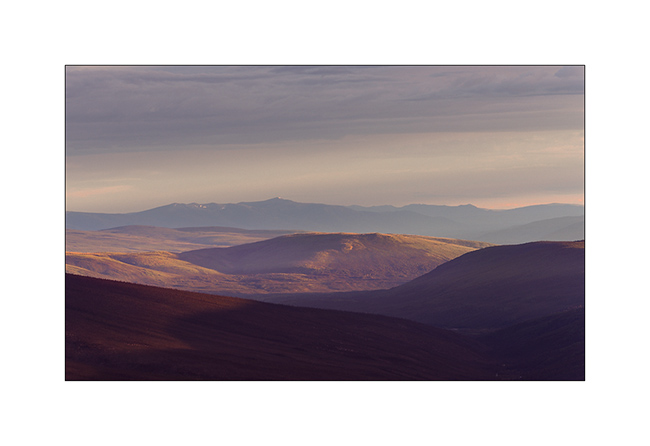
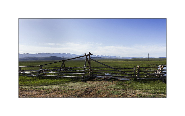
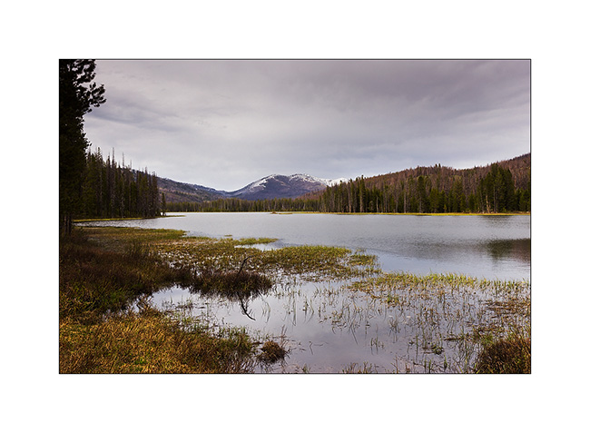
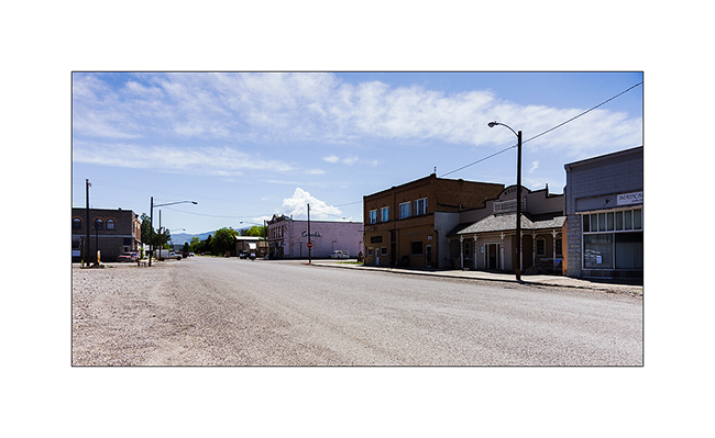
Central Yukon
Still in central Yukon, I visited Keno City, a “City” of 21 inhabitants actuelly ! I must say that the price of silver and zinc are really down, so the mines are actually shut down.
1. The hotel and one of the two bars of this quite surprising “like out of the past” village.
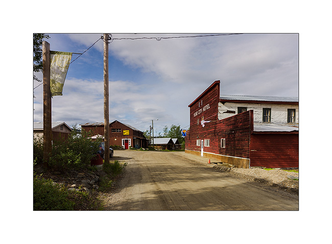
2. Service.
3. The other bar with the owner’s car still running!
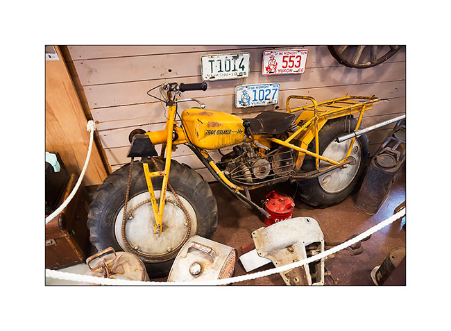
4. In the well-stocked museum on past mining, a two-wheel drive motorcycle for mud terrain!
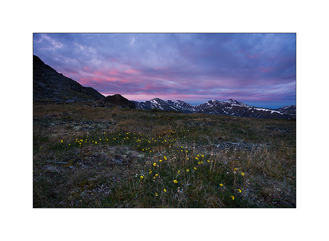
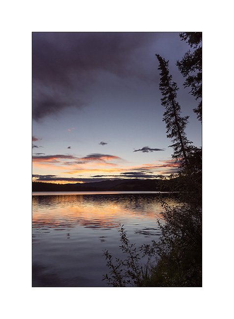
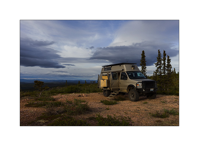
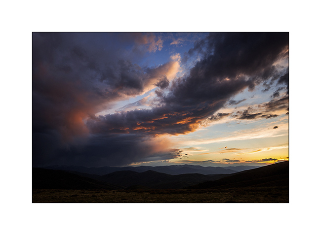
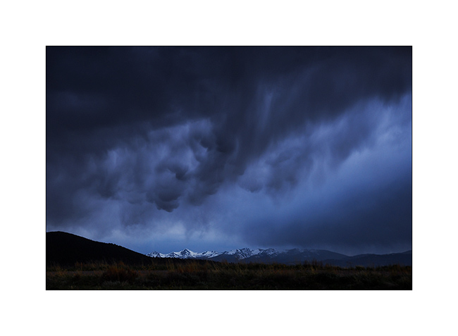
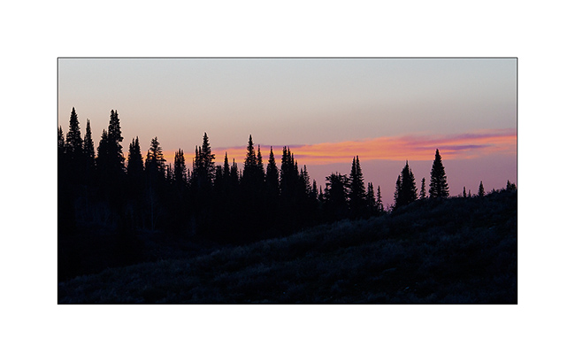
5. Again up the mountains for the night, I admired a gorgeous sunset.
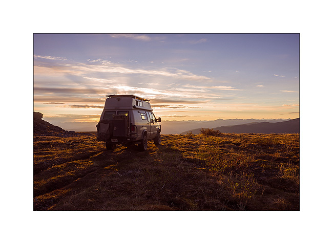
6. Nice boondocking site, isn’t it?
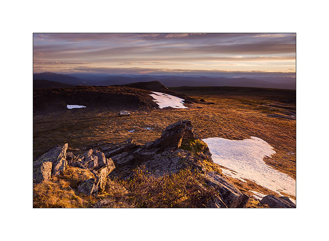
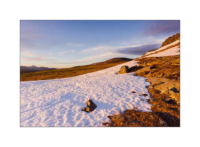
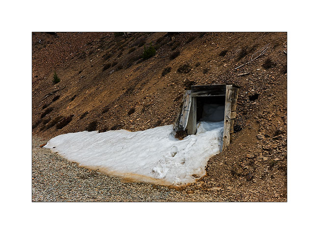
7. Some snowpatches remain at this elevation.
8. Magic light at midnight…
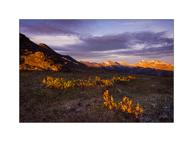
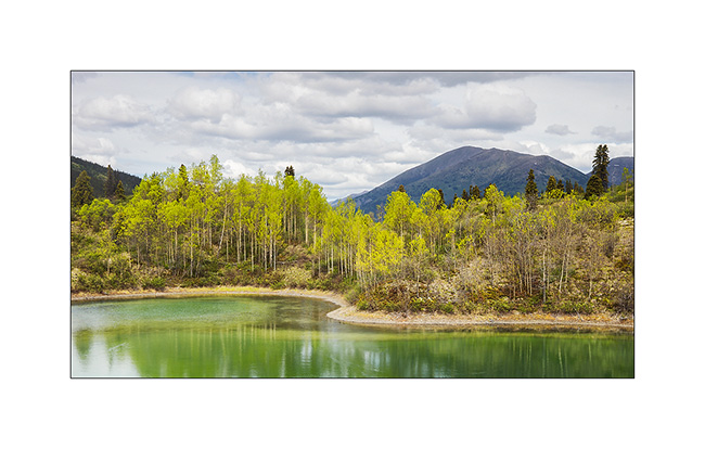
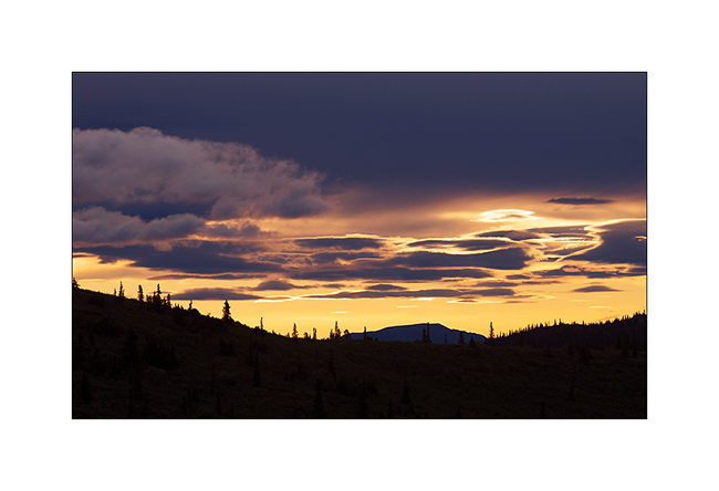
9. Last gleams under the clouds…
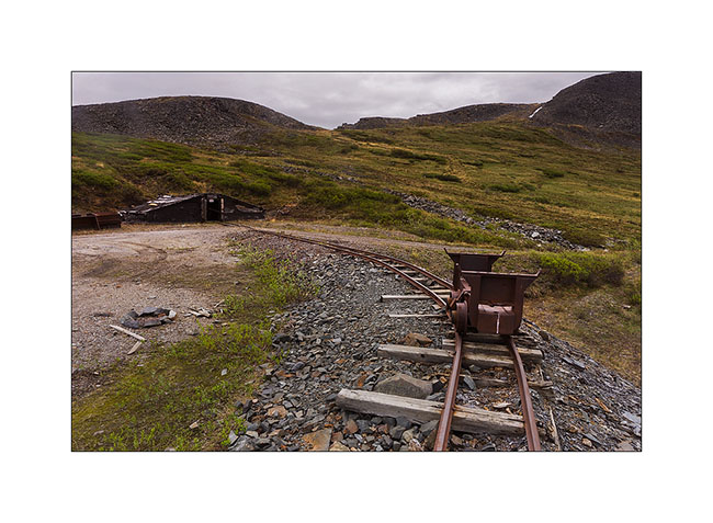
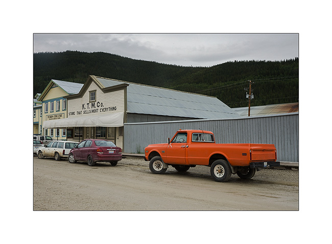
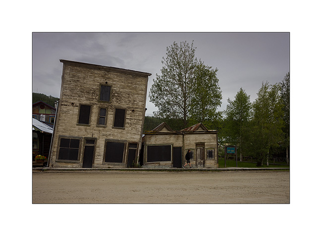
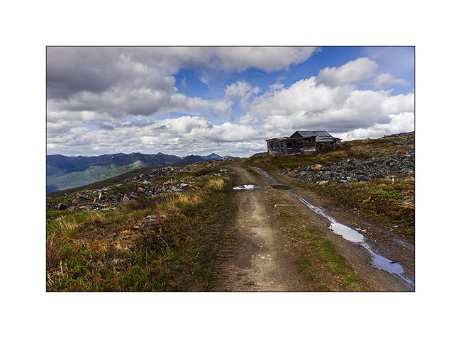
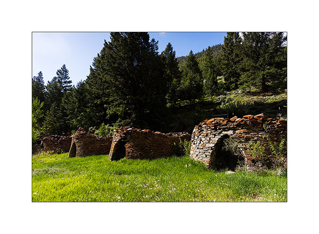
10. Another mining site from early 1900.
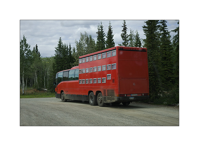
11. Resuming the Klondike Highway to the north-west, I can not believe my eyes! A “rolling hotel” almost like those we had seen in Romania forty years ago. Each passenger has a “drawer” as bed! It is envy, isn’t it..? 😀
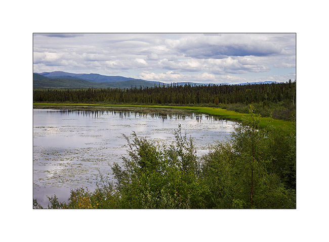
12. One of the many lakes along the journey…
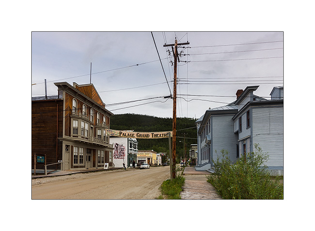
13. Dawson City, a villa quite special, festive, almost without modern building; so far removed from all that many people make quite everything here, especially at night in the local casino or one of the many bars…
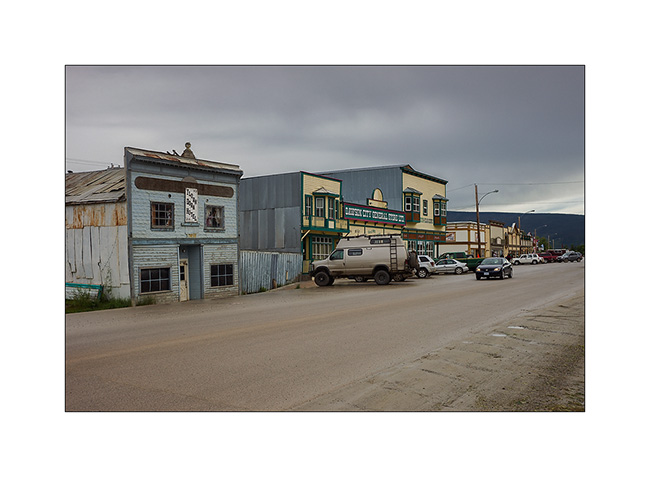
14. The “continues to produce Belle Époque-style shows every night.
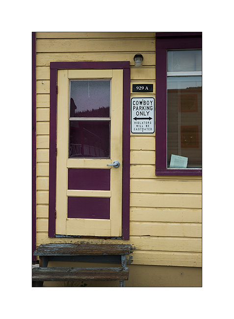
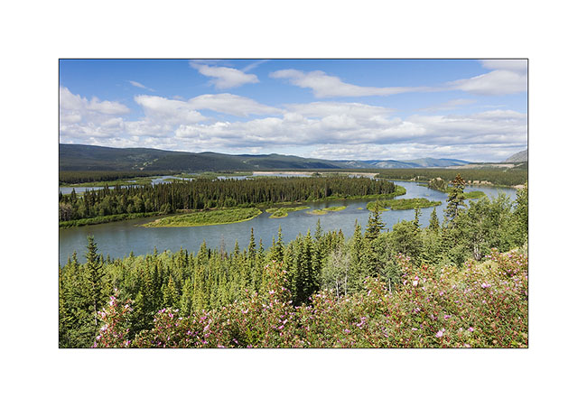
15. Funny advertising for this store… 😉
16. Euuhh, can I really park there..?!! 😀
17. An example of the difficulty to build on permafrost. These buildings are a century old. Protecting the soil from the cold during the winter, they make the permafrost melting, destabilizing their poor foundations. So they continue to “sink” into the ground.
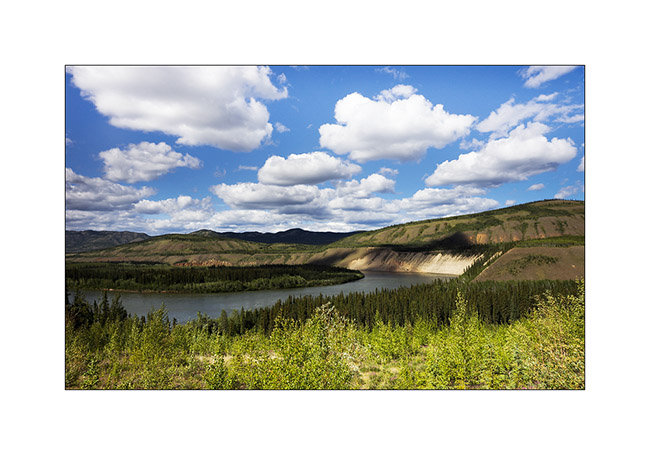
18. Overview on the city along the Yukon River…
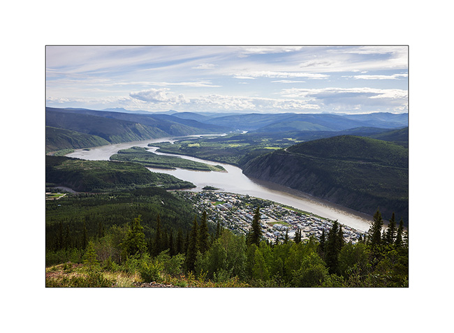
19. … which continues her journey toward North_East.
Vivalavida then took the path of the great north on the Dempster Highway, a road that still frightens many travelers. A thin ribbon of over 750 km through boreal forest and tundra, which turns into slippery mud in the rain, mainly driven by the large trailer trucks supplying Inuvivk at the terminus, with a single service station / motel more or less mid-way… To come soon… 😉
South West Yukon (2)
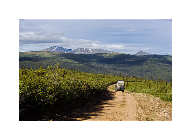
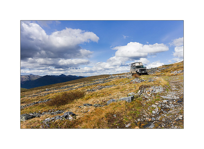
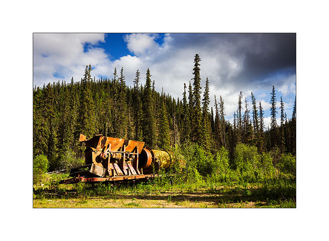
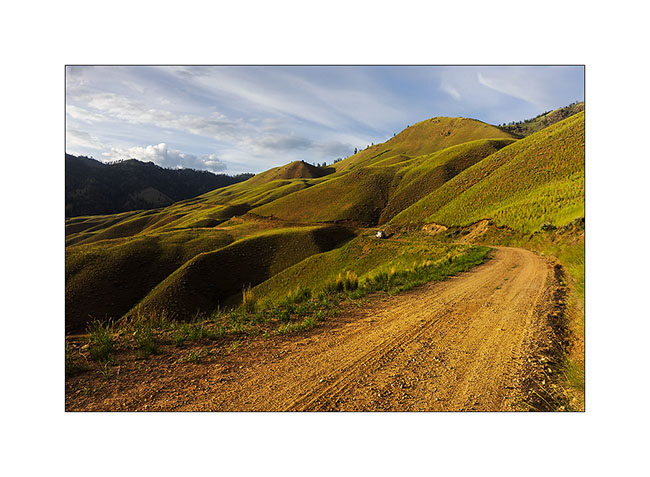
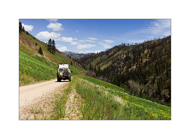
Continuing the discover of backcountry roads the next day, I arrived into mining areas, some of which are still active today. Guys continue to look for gold…
1. VivaLaVida on the trail.
2. They are so many small lakes everywhere…
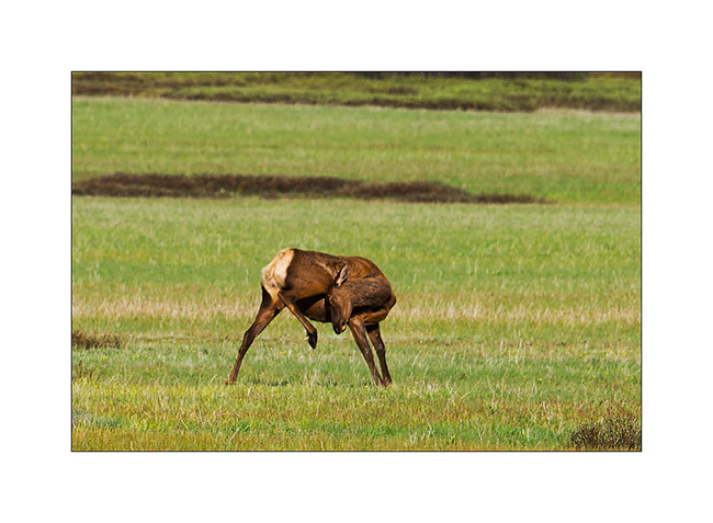
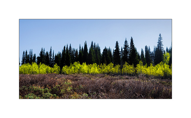
3. Over the tree limit, it’s meadows with lots of blueberry trees. Grizzly bears are probably really feasting here at the end of the summer!
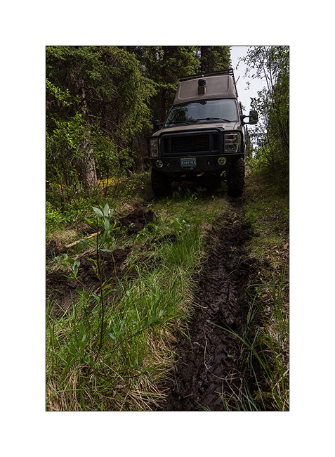
4. VLV brave despite its only two wheel drive.
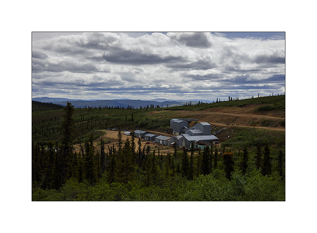
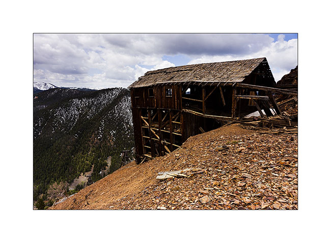
5. A mine site operated until three years ago and now closing. The government requires the demolition of buildings, but also the restoration of the landscape, including the filling of extraction areas and site cleanup. A big work which will take several years…
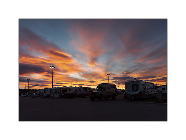
6. Back to Whitehorse, the Yukon capitol town, where the most popular campground is the local Walmart parking lot, who knows why. Beautiful sunset after midnight.
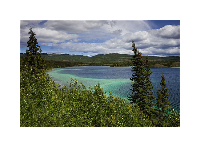
7. One of the Twin Lakes along the Klondike Highway.
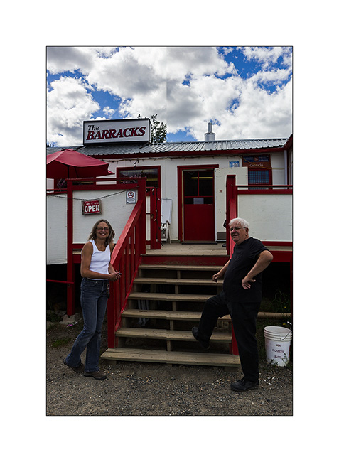
8. Back through Carmacks, forced stop to say hello to Shanon and Garry ! 😀
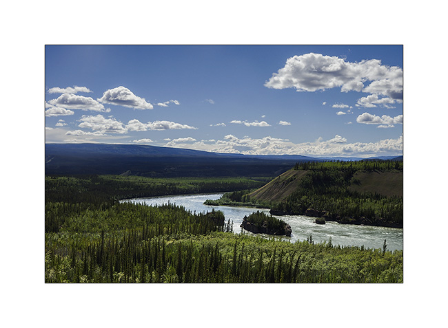
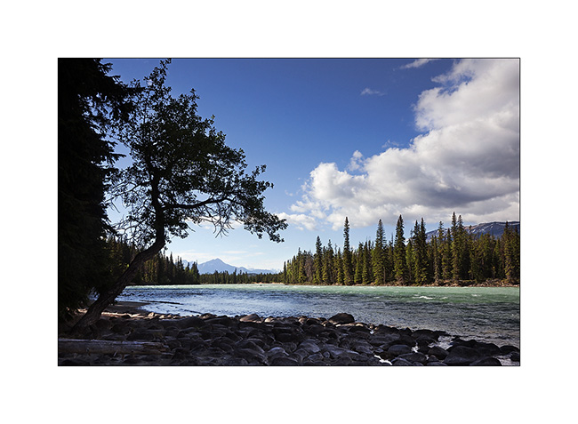
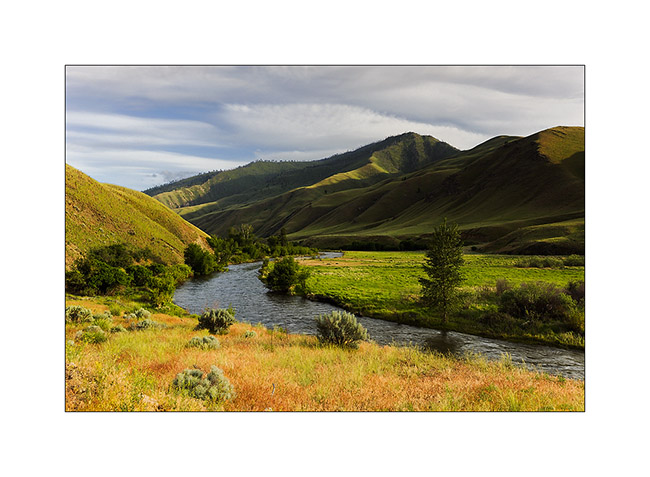
9. Yukon River at Five Fingers Rapids.
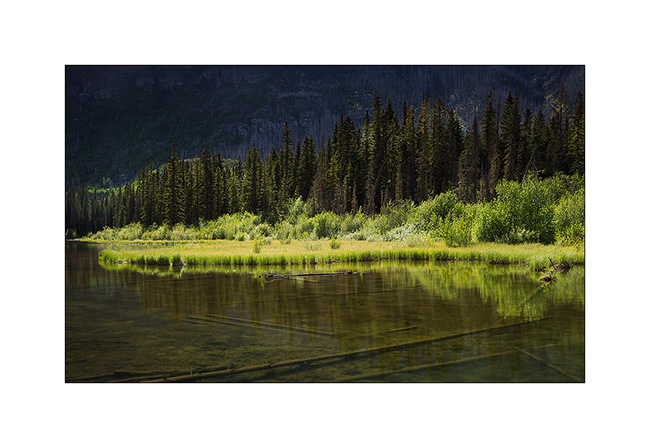
10. That landscape is mostly formed of mudstone, a kind of petrified mud that contains many boulders. The river carves its bed sometimes making beautiful cliffs.
11. Camp at Frenchman Lake.
12. Quite Sunset at 01:30……
13. In some places, even the mighty river meander…
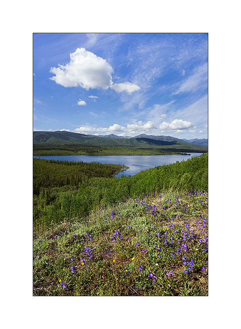
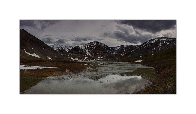
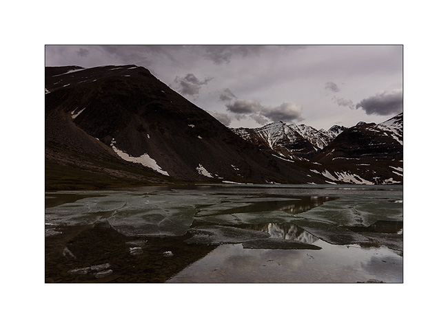
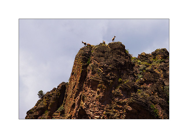
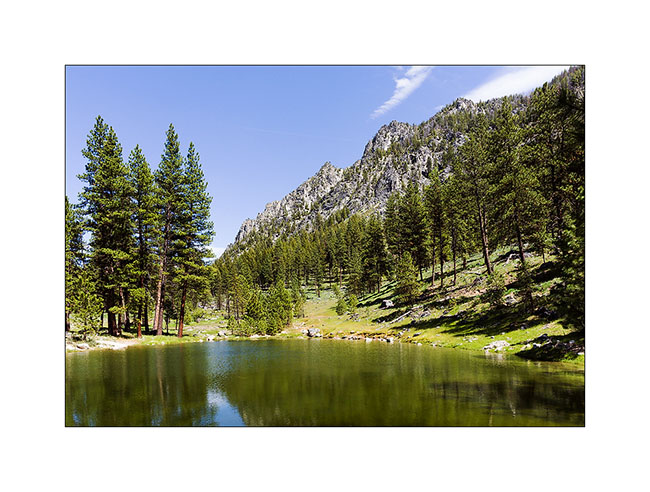
14. Detour towards Keno City with a stop at the remote Hansen McQuesten Lake.

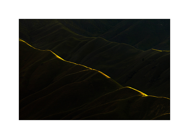
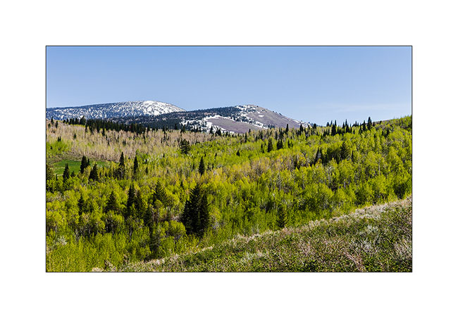
15. In the mountains East of Keno City.
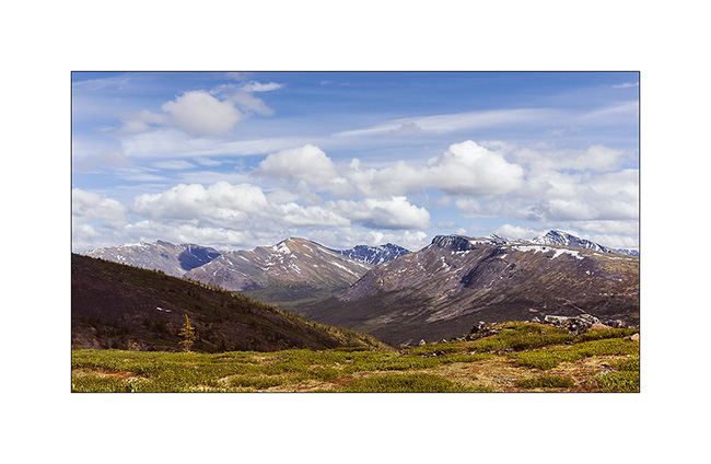
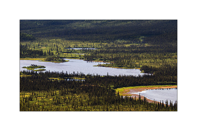
16. Higher, view of the many lakes in the valley with McQuesten Lake at the right background.
17. The few backcountry roads were all made by mining industry and remnants remain.
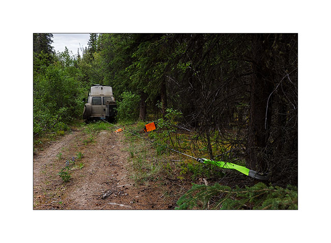
18. Some are practically unused except by Vivalavida..! 😉
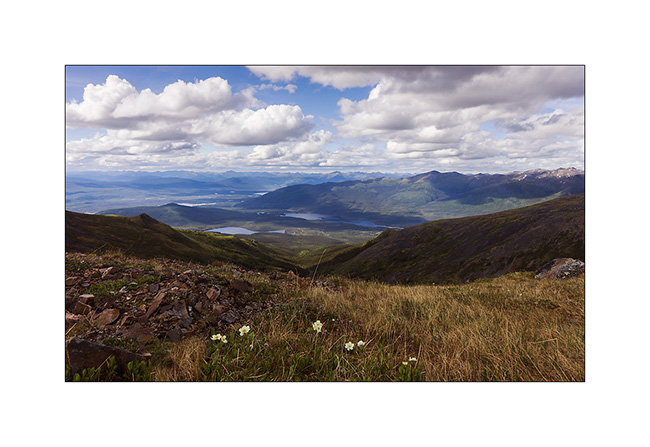
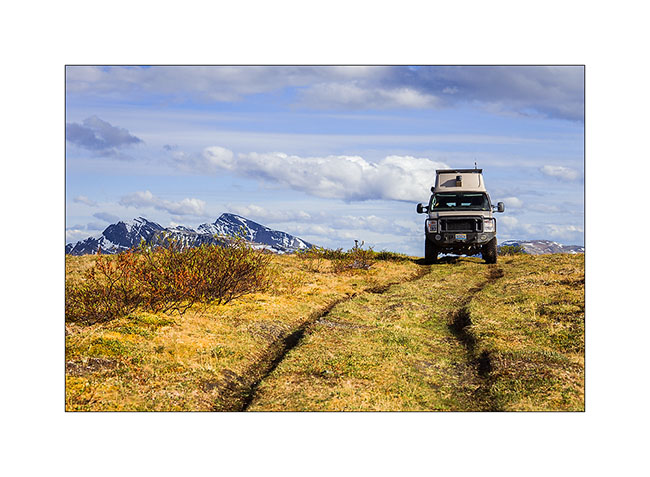
19. Inaccessible valley to the east. To give you an idea of the low population density here: the area of the Yukon is ~ 482’000 square kilometers – Switzerland is ~ 41,000, or 12 times less – and its population has just reached 37,000 where more than 25,000 inhabitants live in Whitehorse ..! In short, there is room for the bears here! 😉

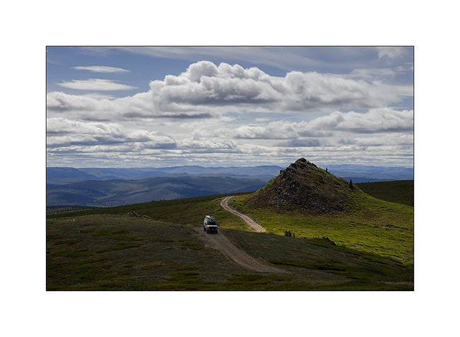
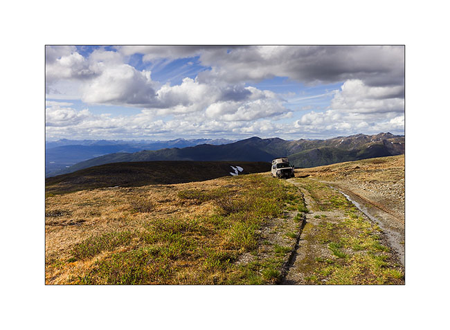
20. Not far from the summit of this mountain, the track doesn’t look like really anything…
21. … end ended by the only tracks of VLV.
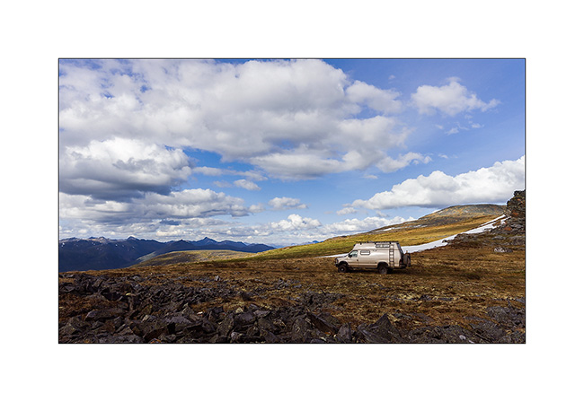
22. I slept there tonight.
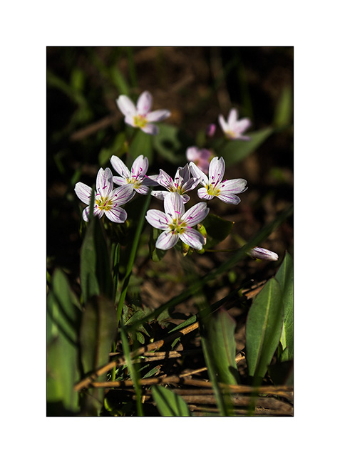
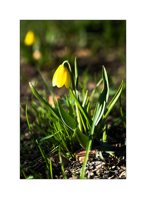
23. There are only a few first flowers on the tundra up there.

24. And golden plovers which spend the night here!

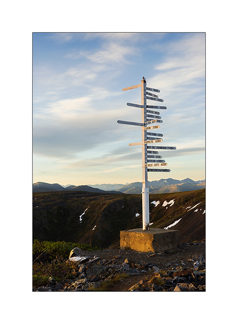
25. At summit of Keno Hill, a sign indicating some foreign places; I seems that I’m at about 3,000 miles away from Geneva in a straight..! 😉
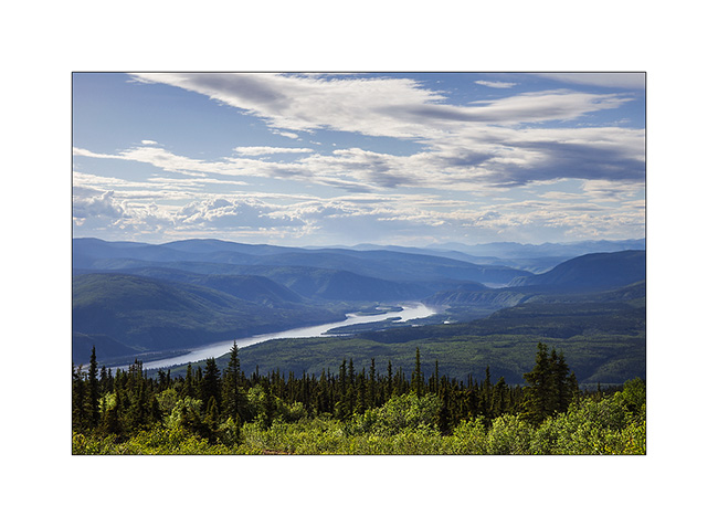
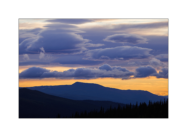
25. Sweetness of the sunset from this splendid point of view…
Following of VivaLaVida’s trip through the Yukon soon…
South West Yukon
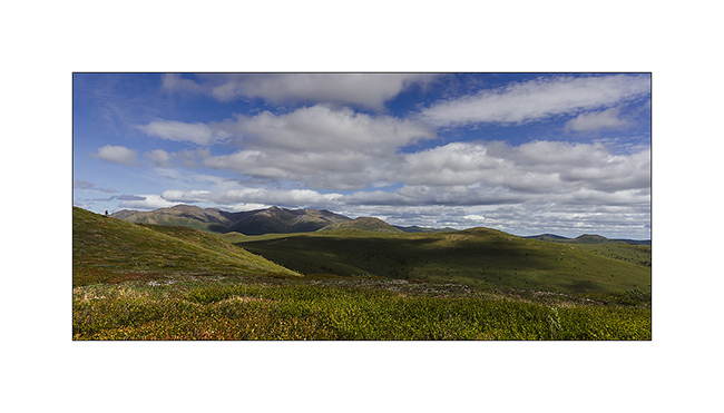
As anounced, VivaLaVida arrived in Yukon, the most North-West province of Canada. This territory extends till the Arctic Ocean. The South is hilly and covered with a uniform boreal forest, the North is only tundra till out of sight.
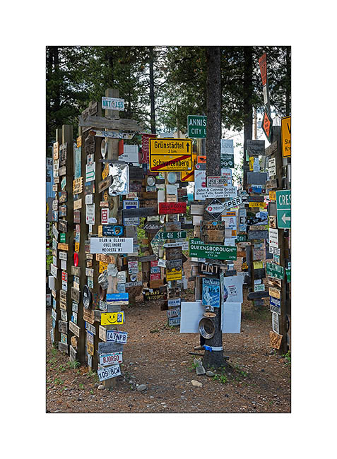
1. The famous “Sign Post Forest in Watson Lake. It currently has more than 78,000 signs led by travelers. One wonders how official entrance panels of German villages got there… 🙂
Vivalavida then left the Alaska Highway to sink deeper into the Yukon Territory along the Robert Campbell Highway, a dirt road more than 400 miles connecting Watson Lake to Carmacks.
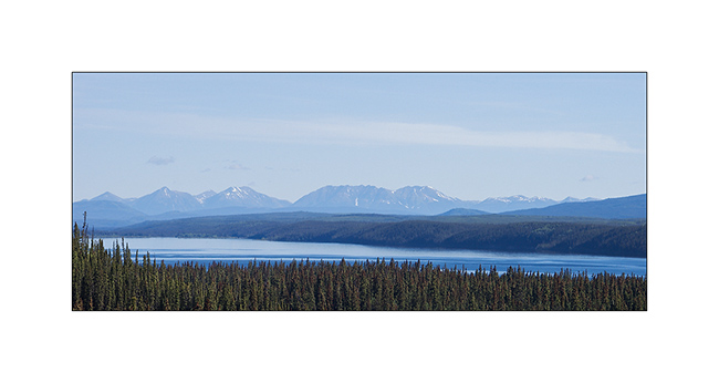
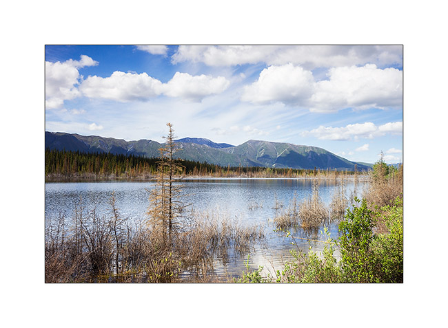
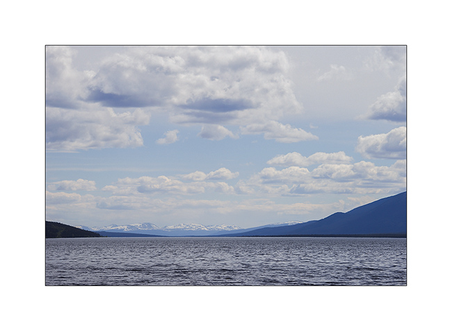
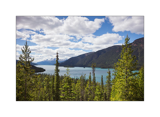
2. Frances Lake, more than thirty miles long. The mountains in the background is the border with the Northwest Territories.
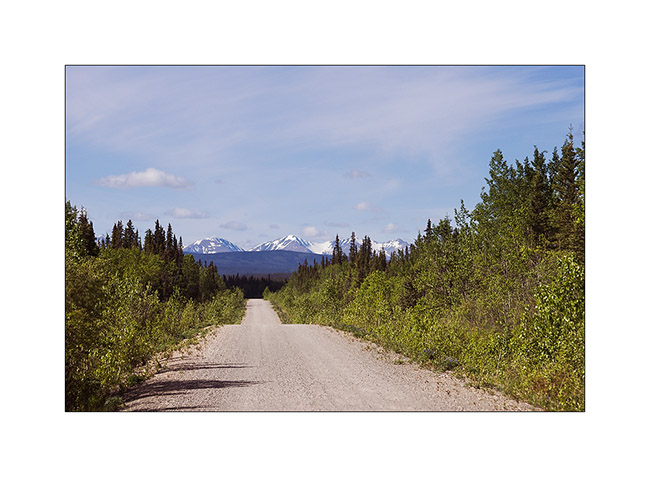
3. Robert Campbell Highway. Yes, it’s considered as an Highway! But I saw only one car along the 400 miles…
4. Succession of nice small lakes…
5. Another one…
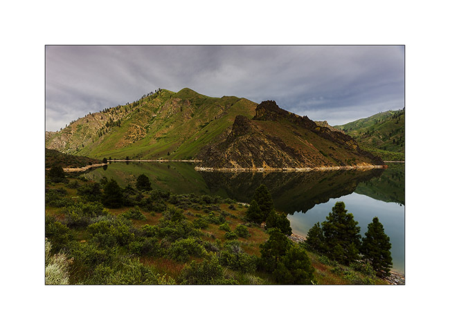
At Ross River, I turned south to travel the South Canol Road, a road built by the U.S. Army during World War II to supply a military base in the Northwest Territories, one of the closest points of Japan by air…
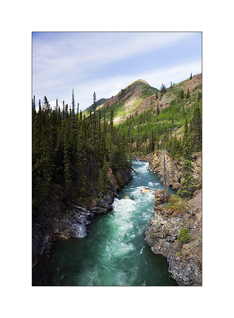
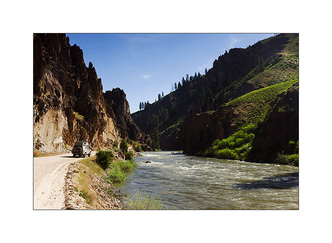
6. Lapie River Canyon.
7. Lapie Lake, wonderfull.
8. a pond along the road…
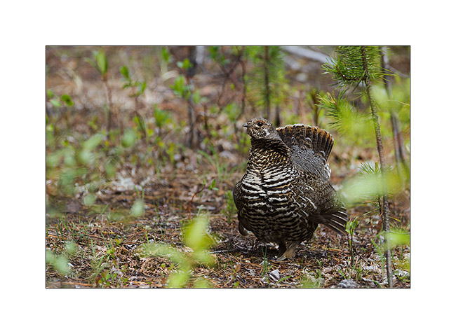
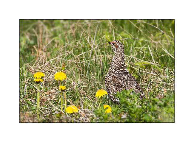
9. While I stopped along the road to have some lunch, I had the chance to see this spruce grouse, a mother who was quite aggressive to get me away from her progeny.
10. View on Quiet Lake.
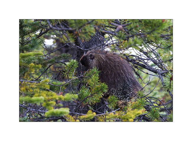
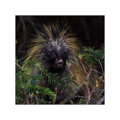
11. Anecdote: when I found a nice camp spot for the night, this porcupine came Under Vivalavida and tryed to taste some pipes ..! I had to make it run away from the rear axle with a long stick, the rascal!
Arrival at Carmacks, on the Klondike Highway, Shanon and Garry, who propose good coffe and icecream at the Carmacks post office, indicated me some nice places to visit only know by local.
I take this opportunity to invite all travelers passing through Carmacks to stop at The Barracks. You will be warmly welcomed to drink a good coffee – even a “espresso” if you ask Shanon or Garry for a “Short Coffee” – and can enjoy one of the twenty ice cream flavors offered. Ideal for a quick stopover on the road or to send a post card to your family or friends. 😉
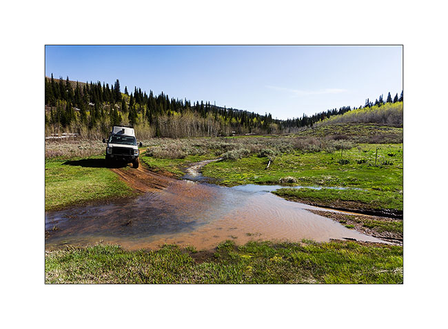
As there is very few backcountry roads in Yukon, I decided to go to the adviced places, starting with the ancient village of Yukon Crossing along the famous Yukon River. The trail leading to it is long disused but confident in the capabilities of Vivalavida, I decided to try to go through. After a few miles, I arrived in front of a big mud hole of a twenty yards long, a real muddy pond. After walking it for recognition, I decided to go for it. I lock the front hubs, switches 4×4 low speed, selects the third gear and locked rear differential and go! But after about 5 yards at most, VLV stops… A little surprised, I locked the front differential, put in reverse but VLV didn’t move a single inch. Strange… Would mud be more slippery here than elsewhere? I go down, find some branches that I put under the wheels, nothing happens, I am indeed stucked! The only way to get out was winching to pull VLV out. I’ll even have to use a pulley system to increase the strength of the winch as the mud really retained my home on wheels … But after three quarters of an hour, VLV has recovered strong ground. I arranged winch and straps, engage reverse and once VLV moves, I heard big Glong Glong Glong ..! Oops, something wass wrong there … Looking under VLV, what a surprise: the front driveshaft was laying on the gearbox cross-member! Exactly the same problems that VLV encountered at Steele Pass with the rear axle: bolts were gone. I then understand why Vivalavida was miserably stuck in that mud; it was only two-wheel drive at the time…
It will take me down back to Whitehorse the next day, 110 miles south, the only place where I could likely find some metric bolts to make the same modification I made to the rear and then solve the problem once for all …
12. Winching VivaLaVida stucked till the axles…
13. Here he is out!!
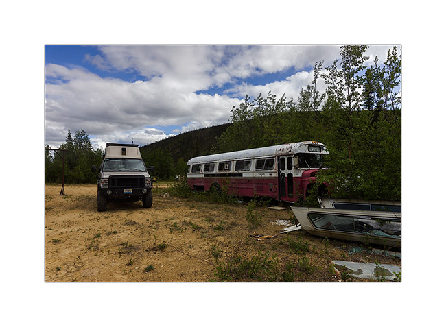
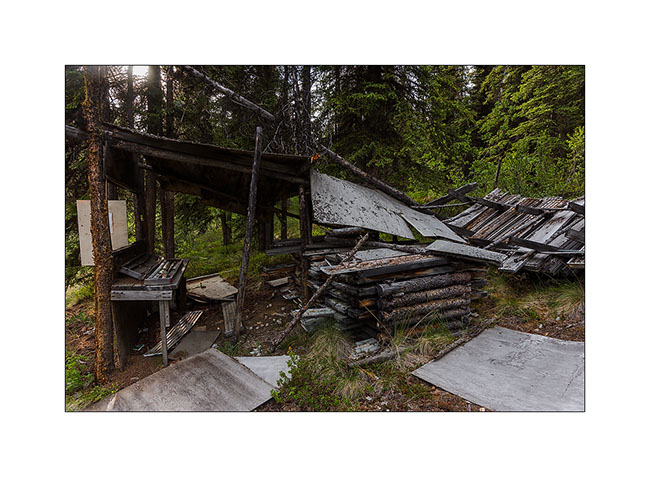
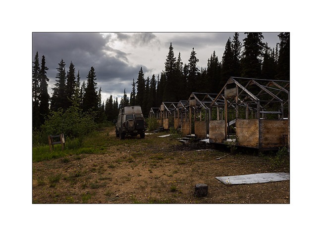
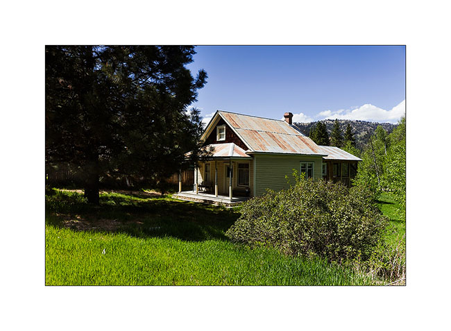
14. I still continued the exploration of the area in two-wheel drive, discovering this “Magic Bus” lost in the middle of nowhere. Probably a hunting camp…
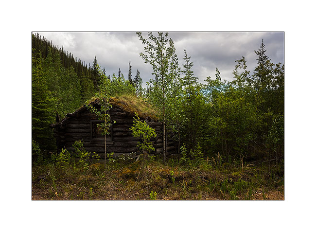
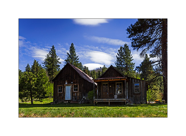
15. Log cabin dating from the gold rush at the beginning of the last century.
16. Some more recent remains…
17. I even found an prospecting site where drill cores remain.
18. Aligned in cases.
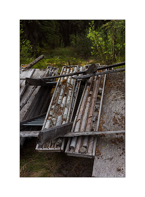
19. Although abandoned, it’s evidence that the site is more recent, some prospectors still continuing research in the area.
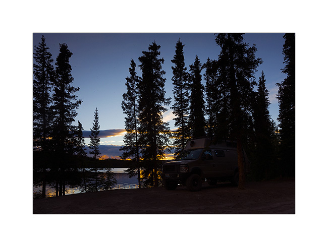
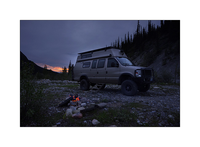
20. I found a nice bonndocking spot not far away … The salmon is cooking in my summer kitchen..! 😉
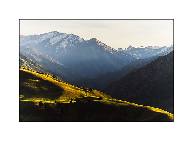
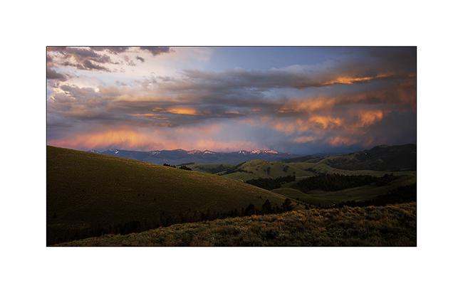
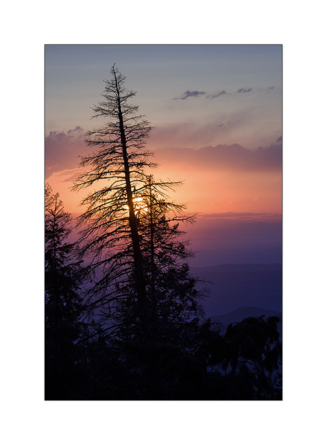
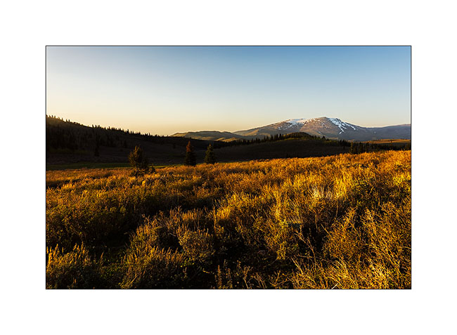
21. Over the tree limit at about 4,000 feet elevation, I enjoyed nice sky at sunset…
22. At midnight, it’s still daylight..!
More to come soon… 😀
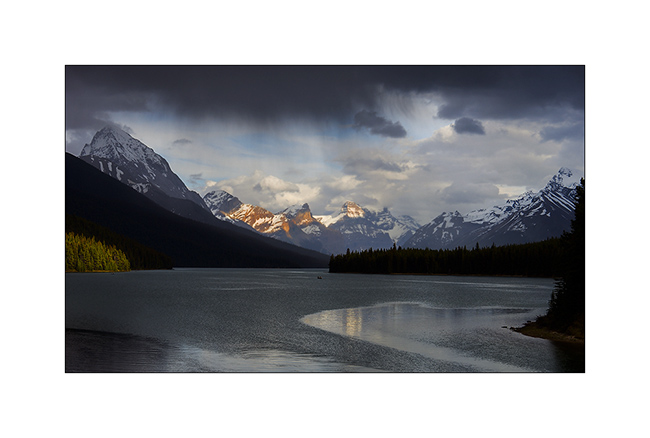
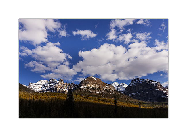
Jasper National Park & South Alaska Highway
Continuing my journey in Canadian Rockies.
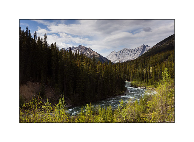
1. Going up the Maligne Valley in Jasper National Park.
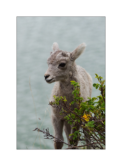
2. Allong the road, meeting with a small group of big horn sheeps and calfs.
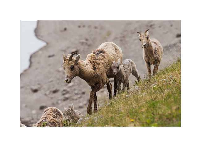
3. Likely only a few weeks old…
4. Maligne River.
5. And here are some variations on the beautiful Maligne Lake. In the rain first…
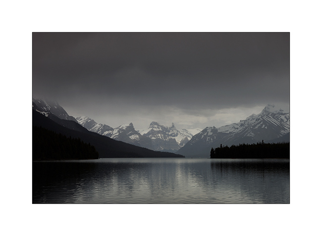
6. A gap emerges in the clouds.
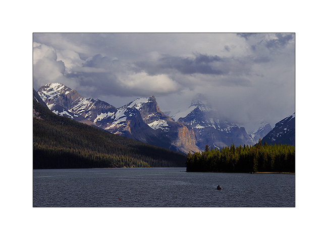
7. Some light now…
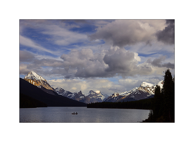
8. … then a new shower arriving.
That concludes this series on the Rocky Mountains, for now at least.
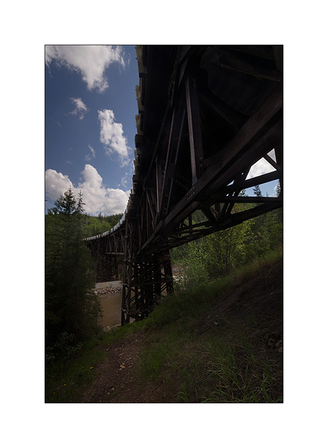
VivaLaVida continued on the road to the north and entered the Alaska Highway in Dawson Creek, British Columbia. This highway was built in the forties and is completely paved since aboute ten years. It connects Dawson Creek to Anchorage, more than 1,700 miles away.
9. A wooden curved bridge on Old Alaskan Highway.
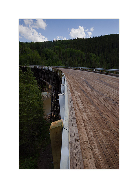
10. Great construction!
11. Nice Spring Flower Lake in Stone Mountain Provincial Park.
12. I attended to ice sheets driven into the river that flows from Lake crashing on the rocks in a noise like a thousand of bells chime … Too bad I can not make you listen at… 🙂
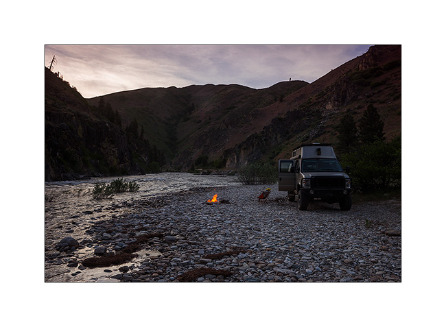
13. Camp along McDonald Creek. It’s 11 PM, the days get longer as I move north…
14. A bird I don’t remember the English name. Difficult to approach, it took me quite a few attempts to achieve…
15. Muncho Lake along the Alaska Highway.
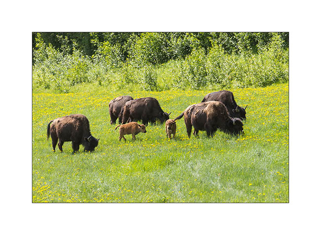
16. Along the trail to hot springs, in a clearing, I first saw this male forest bison, a subspecies endemic to Canada that has adapted to life in the forest.

17. On my guard because these behemoths have bad reputation, I discovered in a meadow a little further a herd with calfs of the year.
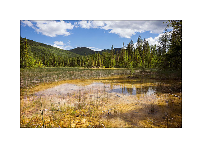
18. Marsh created by the sulfur springs that flow there. This water creates a unique ecosystem, with small fishes that can live only in the hot water. It is also very frequented by mammals which appreciate this highly mineralized water instead.
That ends my journey across British Columbia. I’ll take you soon discover a some of the Yukon… 😉
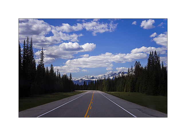
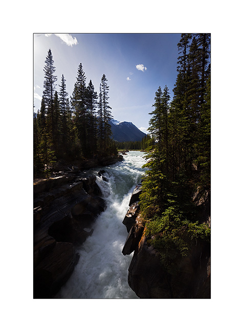
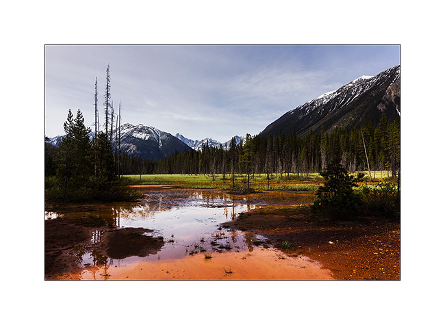
Banff NP & Icefield Parkway
These Canadian Rockies are gorgeous. I continued to explore those looping south of Banff, a grouse mountain station 1:30 away from Calgary. I’m then past in Alberta.
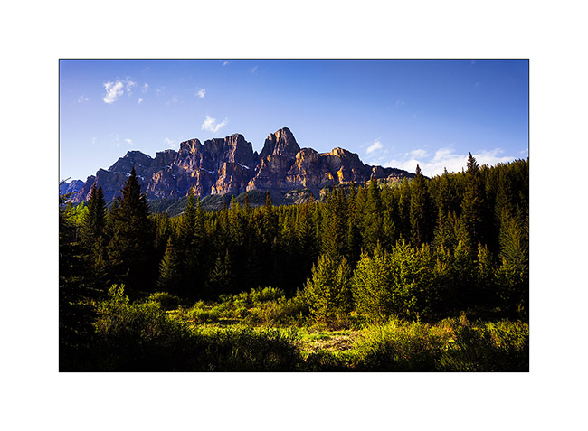
1. Castle Mountain, only some miles North of Banff.
2. A male sheep that I managed to get close to.

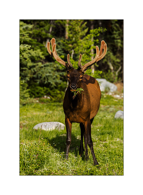
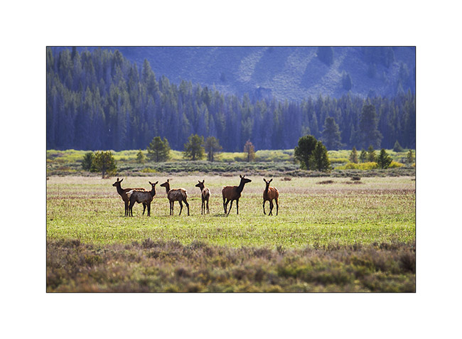
3. An elk.
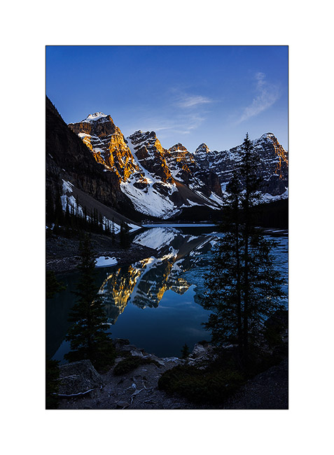
4. Small detour to the so much photographed Moraine Lake in late afternnon.
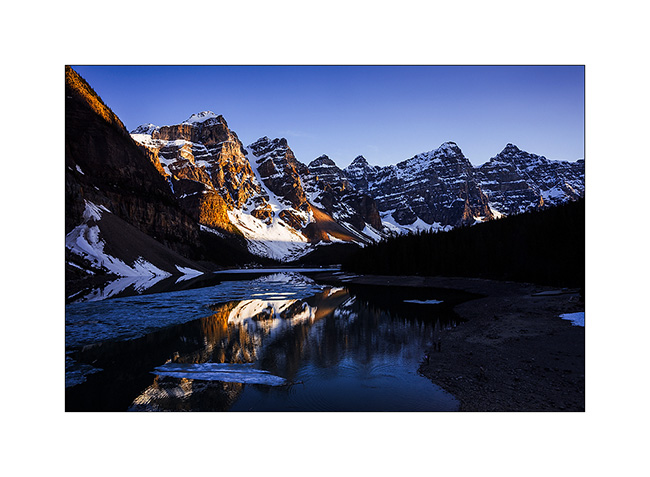
5. Last sunrays…
6. The first porcupine I saw. A real punk haircut! 😀 It was almost night, thank high ISO of Sony A99!
I then drove the Icefield Parkway to Jasper.
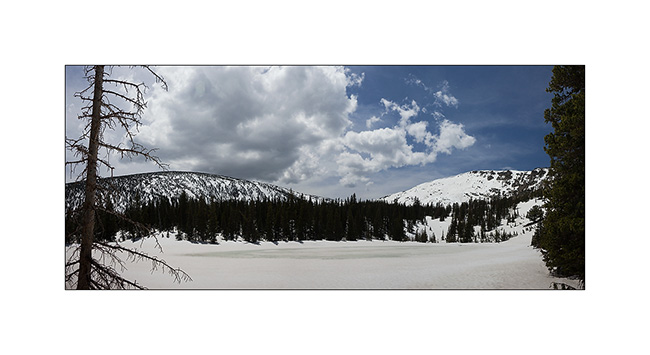
7. At about 7,000 feet elevation, lakes are still frozen.
8. Wild Mistaya Canyon under rain.
9. These mountains are really wild…
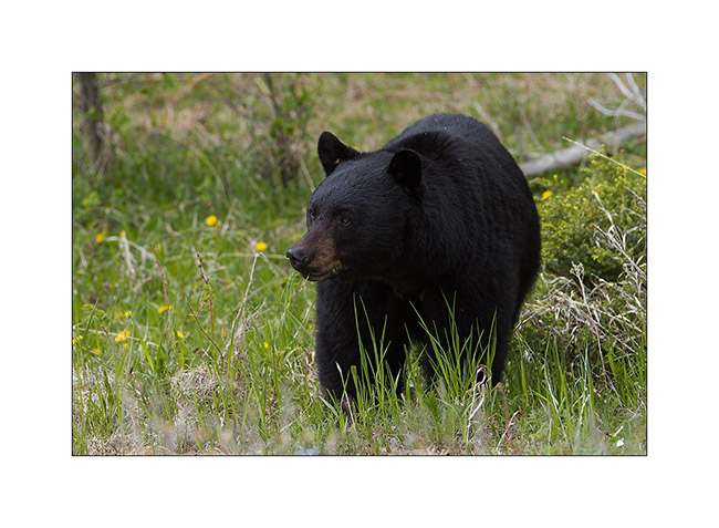
10. On the way back of my hike, encounter with a plantigrade who ate dandelions! Surprising to see this brown bear grazing like an herbivorous!
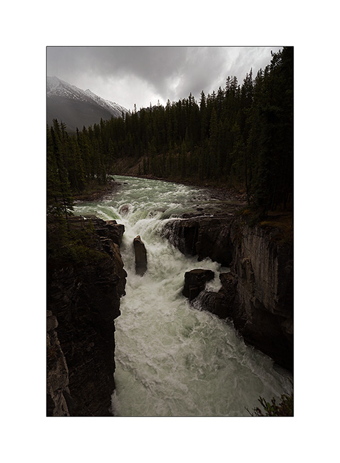
11. Further along the Icefield Parkway, the Sunwapta Upper Falls.
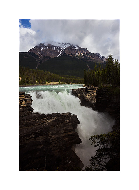
12. Still some miles further, the very wellknown and touristic Athabasca Falls.
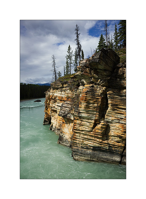
13. Athabasca Canyon cliffs in a timid sunshine ray.
14. Small incursion into a side valley to discover the Moab Lake.
15. This mountain lake is removed, I was there completely alone after more than three hours walking.

16. Back in the main valley at the confluence of two rivers.
17. His insistent cries made me realize that I was in its territory. Sorry for the intrusion..! 😉
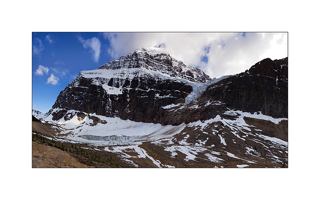
18. Impressive north face of Edith Cavell with Angel Glacier Mountain. You see the angel’s wings ..? 😀 Several avalanches descended while I was walking to reach this point of view.
19. My camp for this night at abot 7,000 feet elevation, with the same mountain in background.

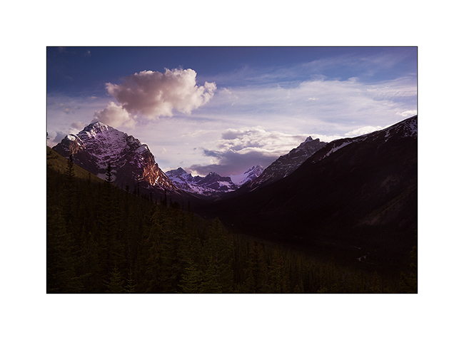
20. Sunset on Tonkin Valley, on the other side…
The next update will show you some image of Jasper National Park in a couple of days…
Thank you for your loyalty to follow this blog:-D
From Montana to Canada
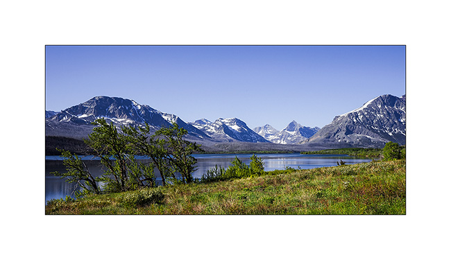
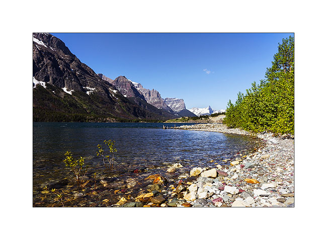
From Butte I continue my way North visiting Glacier National Park. More than some small glacier that still subsist – but for how long? – it’s a land of mountains and lakes.
1. Allong the road, a funny oldtimer hitch!
2. Kintla Lake, retired and wild. I paddled it ti the and, 4 hours round trip…
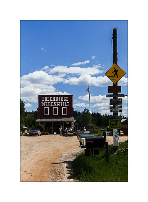
3. General Store at Polebridge. The pastries were top! 😉
4. Tumultuous McDonald River.
5. South Fork Flathead River.
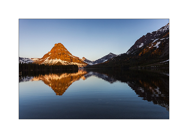
6. Thunderstorm on Two Medicine Upper Lake.
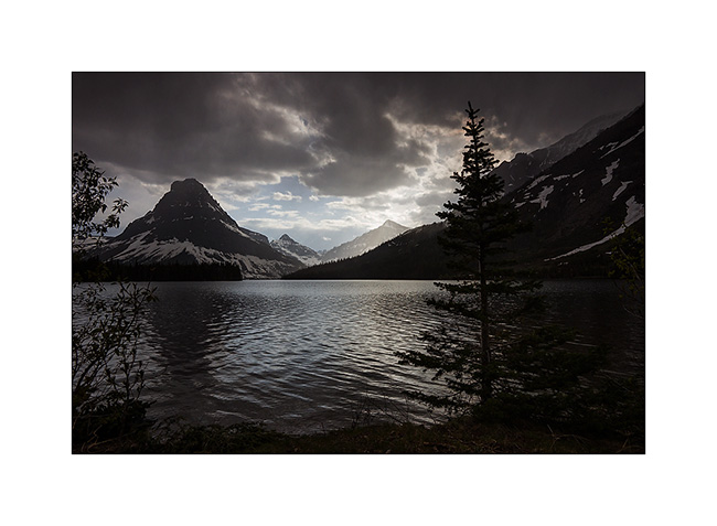
7. Totally other atmosphere the next morning at 5:30 then it freezes..!
8. Lower Two Medicine Lake, an artificial reservoir.
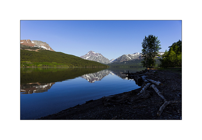
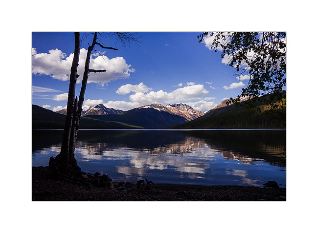
9. Another large lake, the St-Mary Lake. Logan Pass was still in winter closure, so I didn’t get to go…
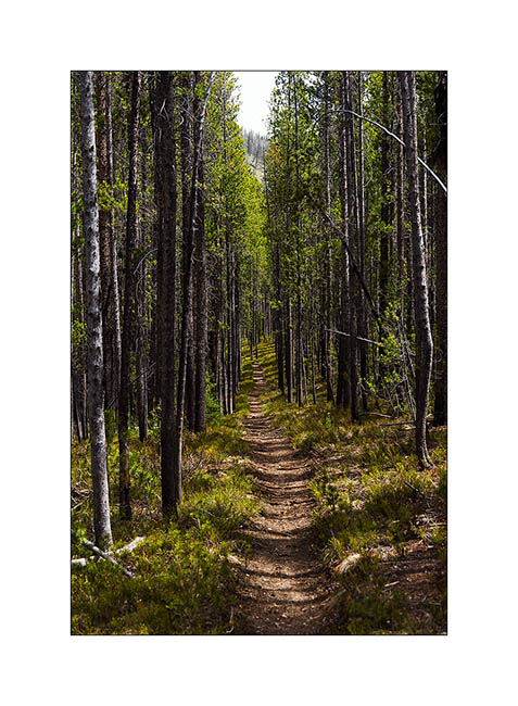
10. From the mountain bike single track.
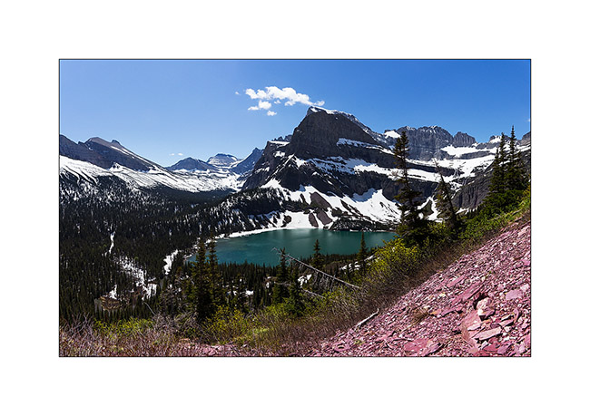
11. From the trail to Grinnell Glacier where I was also stopped by snow.
Then I crossed the canadian border and headed to Banff National Park, in the Canadian Rockies.
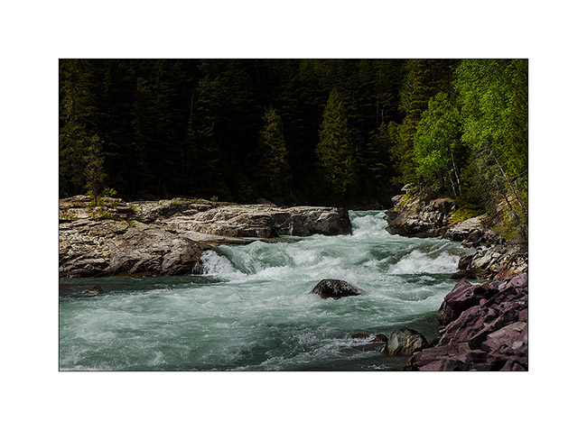
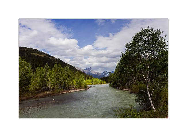
12. Kootenay River.

14. Highway like in tourism advertising..!
15. Numa Falls.
16. Sunset from my camp.
17. Discovery of ocher deposits in the Kootenay Valley, more precisely a source rich in iron which deposits ocher. This material was used as a dye by the Indians, pounded before cooked, then re-pounded to get an orange powder. Mixed with melted fat, it was one of the colors used for petrographs, some of which are still visible several thousand years later.
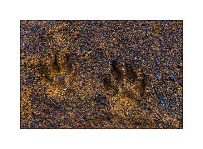
18. Wolf tracks, the first I saw there. They are big as my hand..!
19. Ascent to the source…
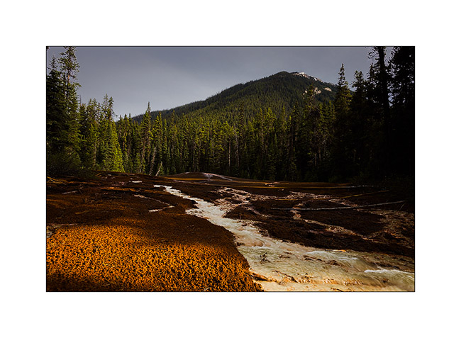
20. … here it is.
Following of my discovery of the Canadian Rocky to come soon… 😀
Montana: Bannack & Butte
The Lemhi Pass is on the Continental Divide. There is tla “Farest Fountain”, the source that is furthest from the delta of the Missouri / Mississippi.
1. Farest Fountain Creek.
2. Typical portal
3. Coyote Flat.

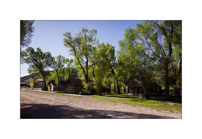
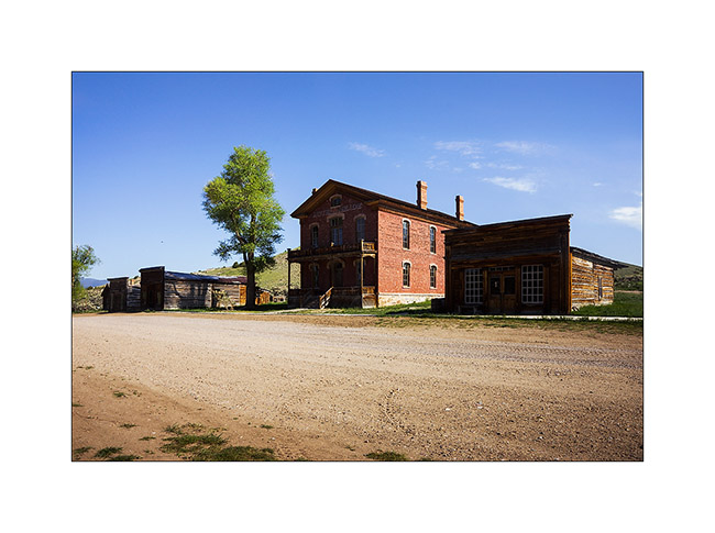
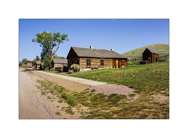
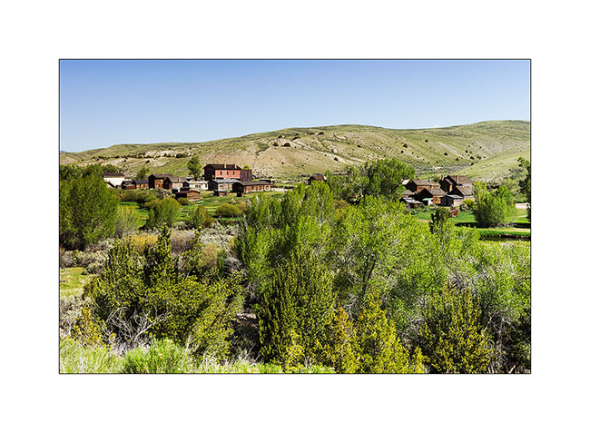
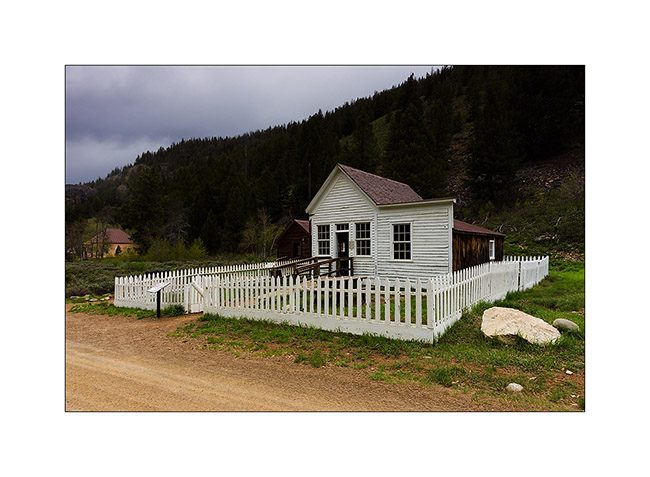
4. Arrival at Bannack, another really weel preserved Ghost Town in Montana that time.
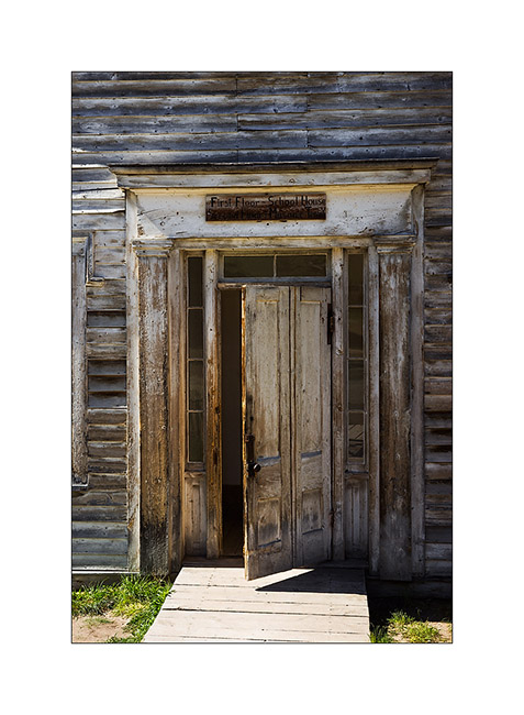
5. Scool in the ground floor and…
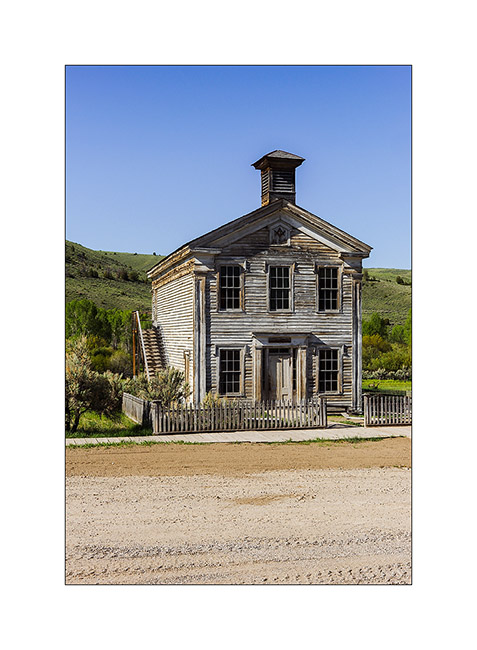
6. … Masonic Lodge up the first floor!
7. The hotel which was before the first Courthouse of Montana.
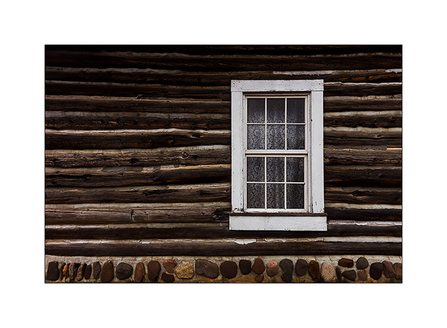
8. Perfectly preserved cabin.
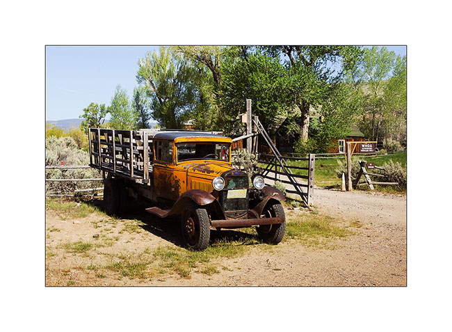
9. An ancestor of VivaLaVida! 😀
10. Church among the houses
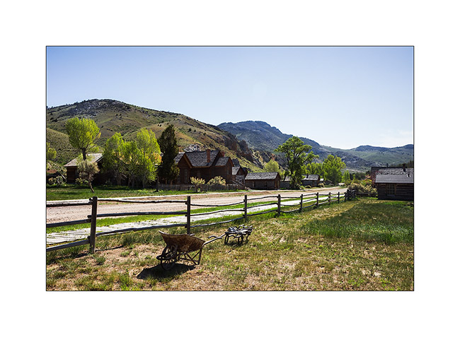
11. Overview.
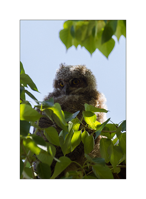
12. Leaving Bannack, I saw him. Probably a young great owl.
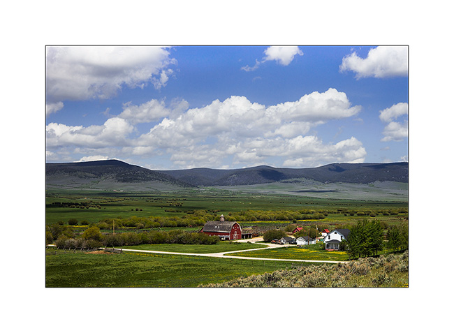
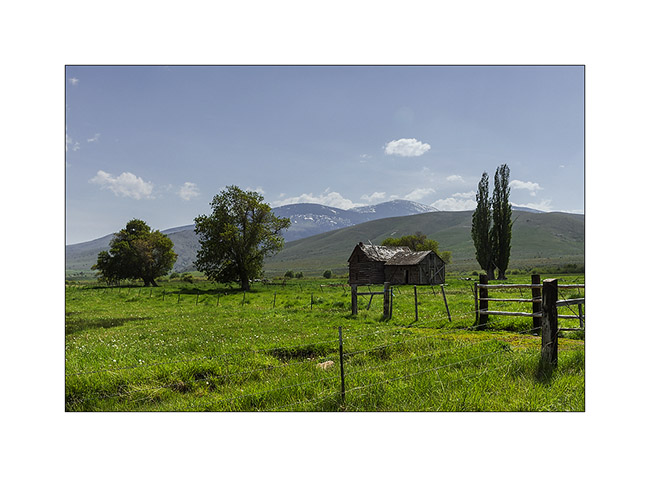
13. Typical farm of Montana.
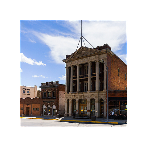
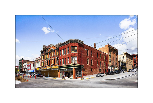
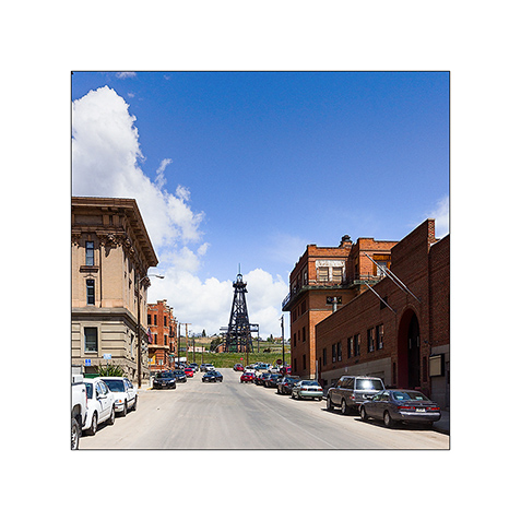
14. Butte is definitely a particular mining town: the historic upper town is built of red brick…

15. Old building.
16. Main Street
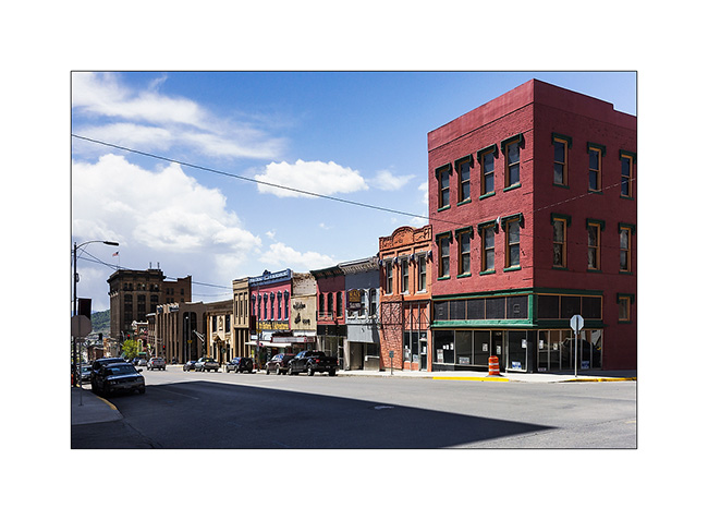
17. Corner building.
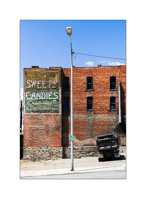
18. Antique advertising…
19. Schoolgirls…
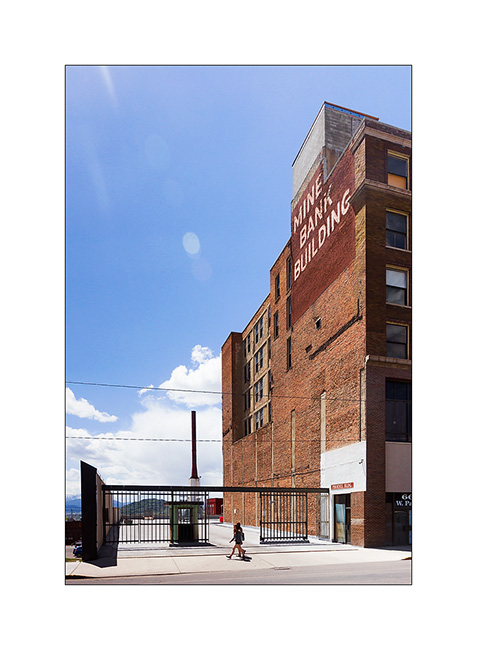
20. The drilling tower are even the city, there are a dozen of those.
The next update will bring you in Glacier National Park, far North of Montana… 😉
Ghost Towns of Idaho
As announced, here are some images of three ghost towns dating from the gold rush. Most of them have been inhabited for a few years before new gold discoveries decide to relocate their inhabitants.
1. First visit at Custer, in Yankee Valley

2. Traditional log construction.
3. This house was built in 1854.
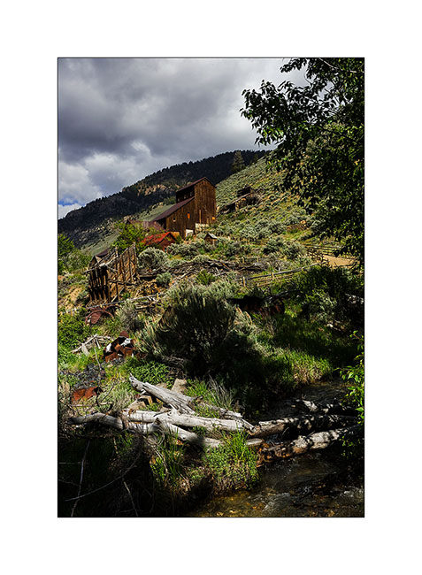
4. Second visited site, Bayhorse. The mill for sorting the ore is still standing. This site was initially very popular for gold – this is the site where the largest amount of gold was extracted at that time (approx. US$ 90 million!) – then silver and copper.
5. Seven coal furnace allowed to produce this essential fuel.
6. Higher in the same valley, the SkyLark mine where a steam freight elevator allowed to bring the ore mined down the valley.
7. One of the Skylark mines.
8. River West of Salmon.
9. I got to spend the night to another hot spring which pools were unfortunately destroyed by the floods of winter…
10. Diagonal…
11. Late afternoon.
12. He turned when I touched his tail… 😉
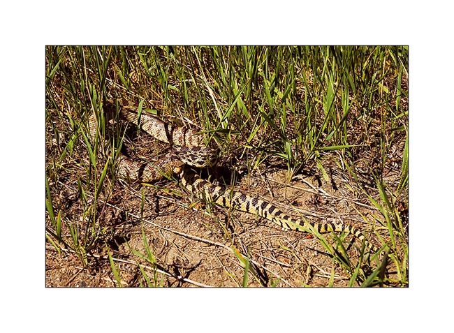
13. The first Big Horn Sheep I saw.
14. On the road to Lemhi Pass, in typical grasslands of North Idaho and Montana.
15. I spent the night at Lemhi Pass, on the Continental Divide. Beautiful rainy Sunset.
16. Sky like a paint…
17. Amazing clouds while the sun is down since long…
The following will show you a little of Montana, in a few days… 😉
Idaho (3)
Still discovering Idaho
1. Sunset from Sunset Peak, above Boise.
2. Trying to reach Deadwood Reservoir, I was one more time stopped by the snow.
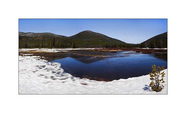
3. The altitude marshes are waterlogged…
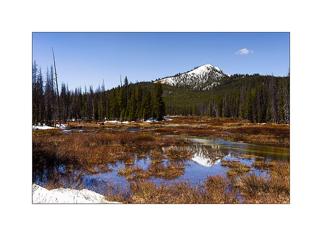
4. … and rivers overflow.
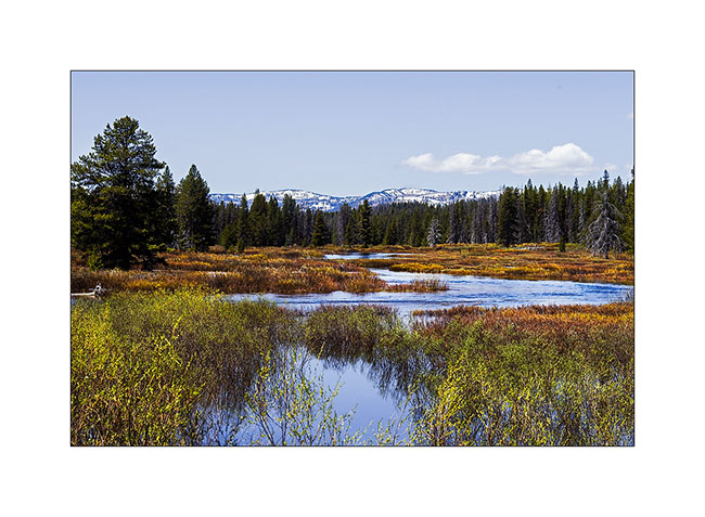
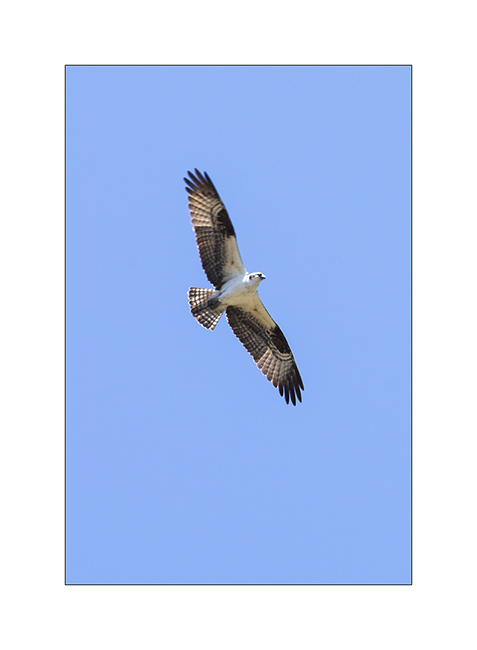
5. An osprey hunting.
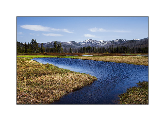
6. I really like these altitude landscapes.
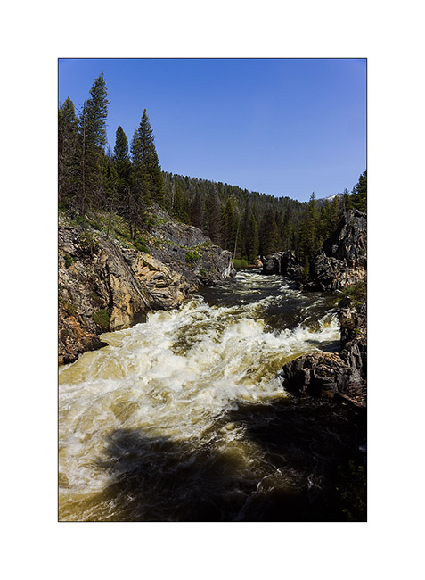
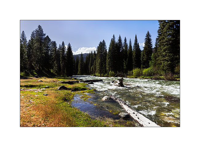
7. Powerfull rapids on the South Fork Salmon River. It’s the only Salmon River that originated 60% of salmons in the Columbia River.
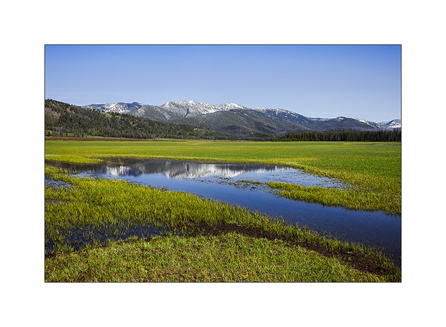
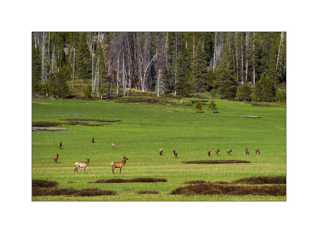
8. The “Elk Meadow” where I spent the night.
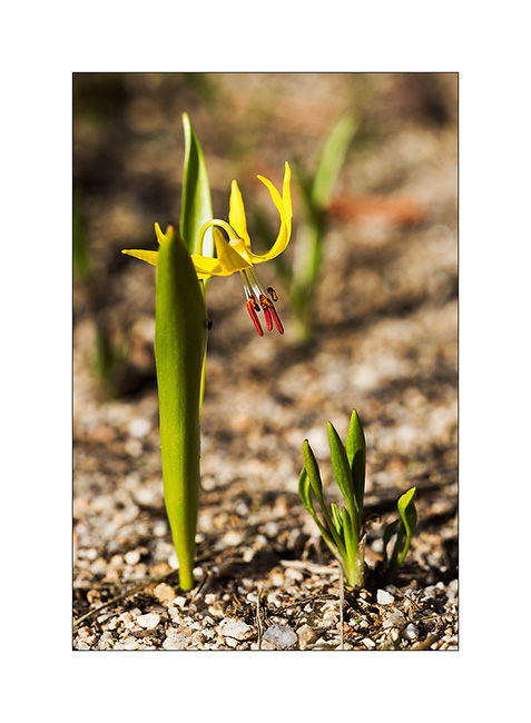
9. Here too first flowers appear.
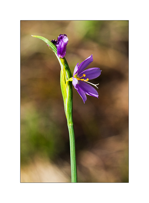
10. Elegance…
11. This marsh is aptly named: this evening, I saw over 50 deers at a time!
12. I try to discreetly approach…

13. … and this time achieved it more or less.
14. Later, I needed more than two hours to make hime accept me and let me take this picture!
15. The next morning, elks are still there.
16. The next day, I made a long walk in grizzly territory to hot springs.
17. By late afternoon, a small detour to the Cape Horn Lake; I train for Patagonia! 😀
18. Kayaking on the beautiful Lake Stanley.
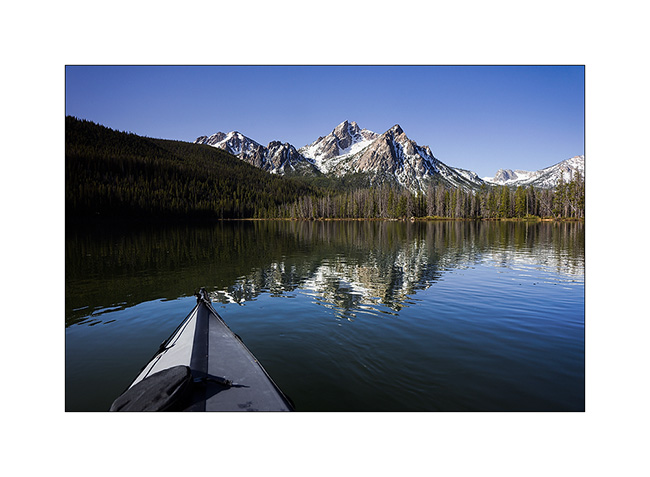
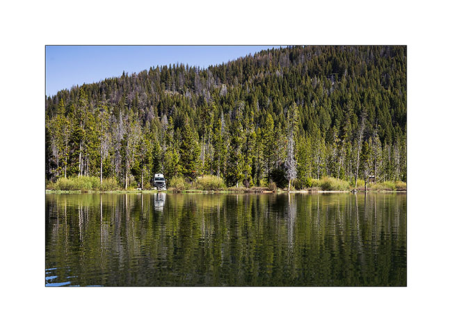
19. VivaLaVida at camp, three yards away from the lake.
The next update will show you some of the gold rush ghost towns”. To come soon…
Idaho (2)
Not far North of City of Rocks, I did some hikes in the Independance Mountains.
1. Green pasture.
2. Going up in the mountains, I find the tender green of young leaves again.
3. Snowmelt floods forest roads that borrows VivaLaVida.
4. Color contrasts…
5. The first flowers only appear at this elevation.
6. Bells.
7. Grazing light…
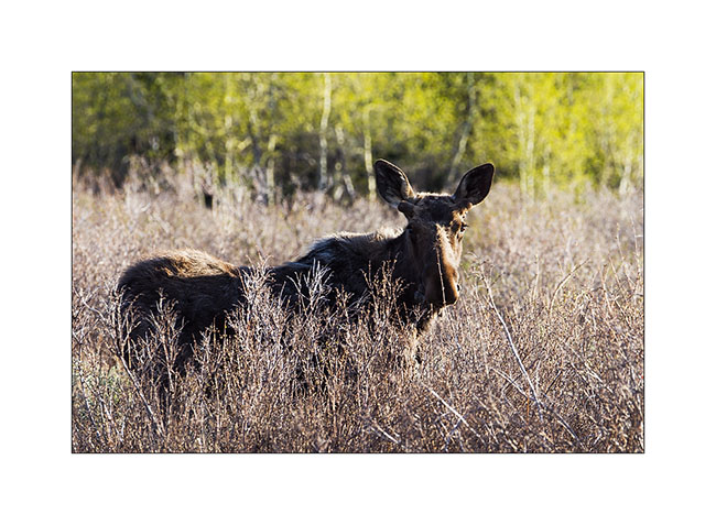
8. A Moose going only hundred yards away.
9. Sunset.
10. Last colors before the night.
11. Early the next day, I went to Independence Lakes, probably the most scorching hike I’ve done since I travel in VLV. 7 hours hike in deep snow, just backbreaking…
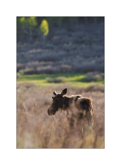
12. Back to VLV, I was resting when without warning, this young moose came out of the forest only a few yards. Excitement for both! 😉
13. He walks away, looking at me from time to time.
14. Crossing Okleay.
15. I then continued the road to the north through Boise. In this Memorial Day, I went to see the mountains nearby and the Boise River. Here, a reservoir on the Boise River.
16. Boondocking along this powerfull river.
17. Going upstream the next morning.
18. Descent of Trinity Lakes I have not met, the snow still blocking the pass to access to.
19. Nice small lake at Atlanta ID. Just above is the best hot spring in which I bathed so far!
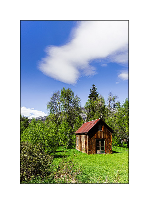
20. Old cabins in Atlanta, a Gold Rush town still inhabited today.
21. This one looks more “cosy”…
22. … and that one more rustic.
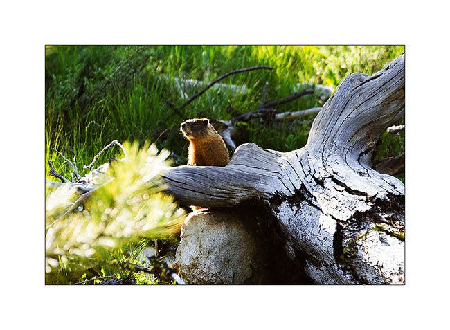
23. The river along which I slept that night…
24. … and a neighboor ! 🙂 It’s an endemic marmott of the Rockies.
Next to come soon.