Nahanni @en
now browsing by tag
Nahanni Range (still in Yukon)
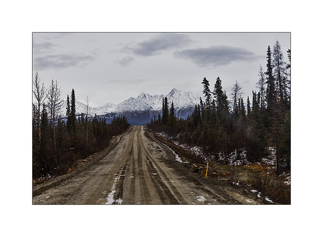
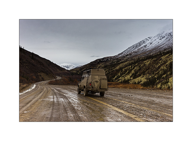
Discover of the second mining road built to access the Canjum Mine, another tungsten mine still active. The Nahanni Range Road, the road that crosses the mountain range of the same name, is much better maintained than the North Canol Road since trucks are borrowing it regularly to supply the miners and take down the tungesten. Yet, at taht time, the activities have stoped for the winter and hunting season is over, so the place was also completely deserted when I was there.
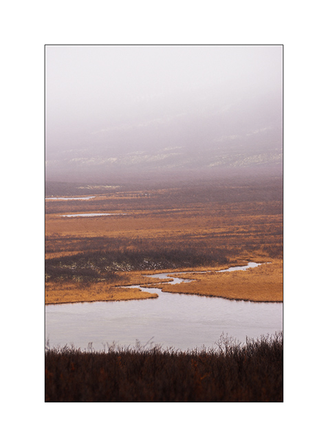
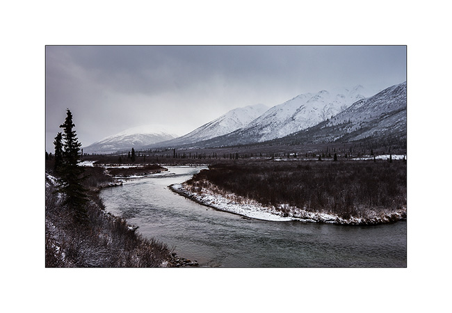
1. Nice river…

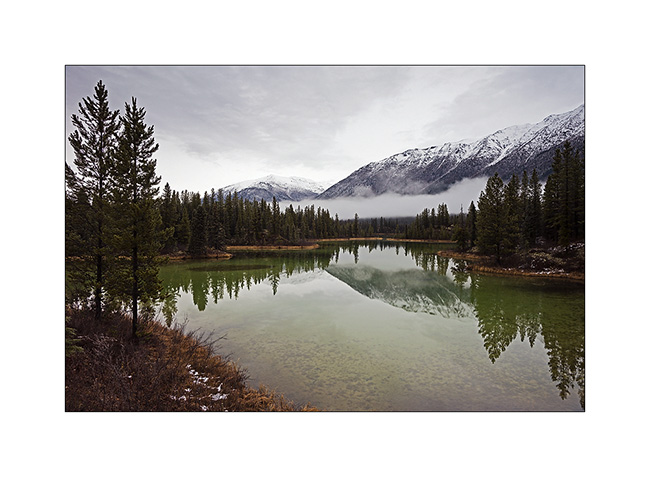
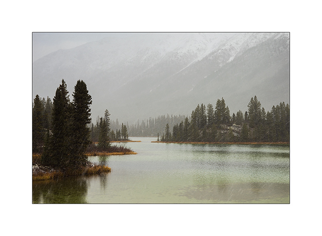
2. A beautiful small green lake that contrasts with the whiteness of the surrounding peaks.
3. VivaLaVida approaches the mountains of the Nahanni Range.
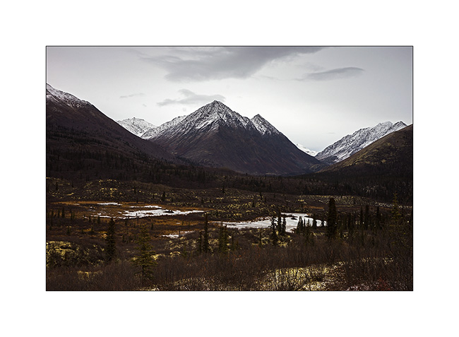
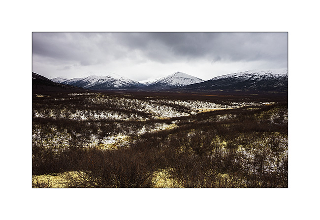
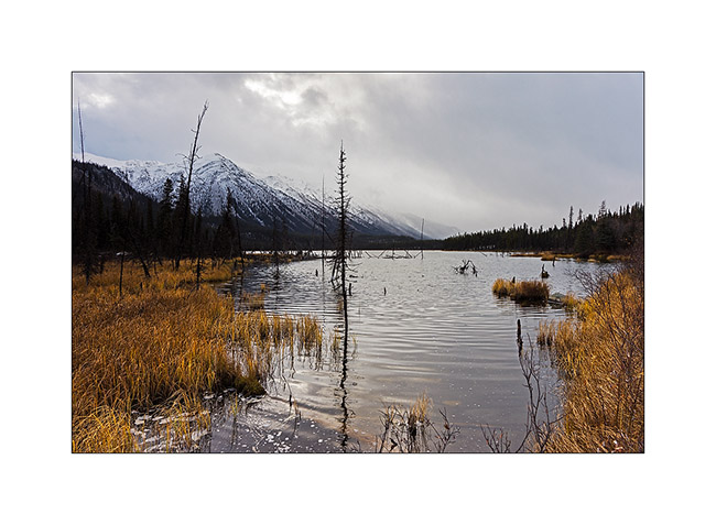
4. I found similar atmospheres to those of the North Canol, about 200 miles to the North.
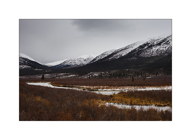
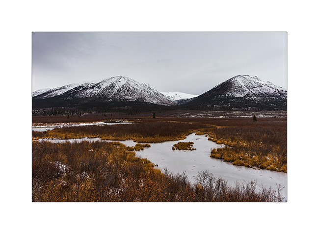
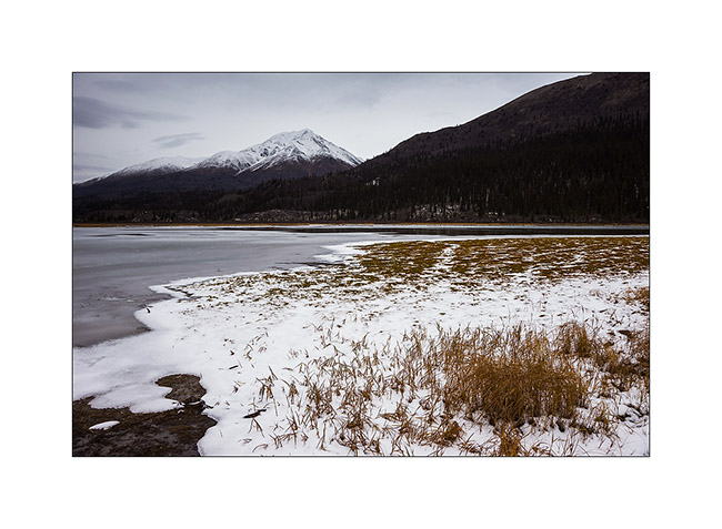
5. The warm tones of the last willow leaves and marsh grasses will soon be covered by winter…
6. VivaLaVida approaches the pass where is the border with the Northwest Territories again, to almost 5,000 feet above sea level on a trail made very muddy and slippery by snow flurries which succeed.
7. On the other side of the pass, mountains look sharper…
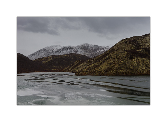
8. … and lakes are already almost completely frozen. We feel that it’s colder here…
9. Small lake just under the summit.
10. The weather starts to snow again while I go hiking to the bottom of the valley.

11. Lichens are everywhere, beautiful and really thick in places.
12. In five minutes, I’ll be in the snow flakes. Seeing nothing anymore, I will have to give up and walk back to VLV, about 4 miles away…
I have also not been able to leave that night, the snowfall turning into real storm by a strong blizzard, depriving me of any visibility. So I slept there, snug in VivaLaVida and without the fear of getting stuck as on the Canol Road.
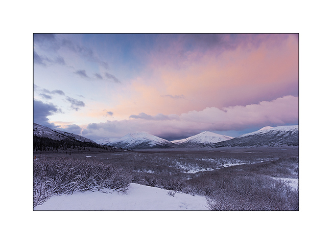
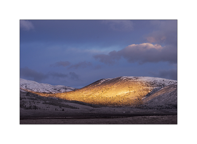
13. Got up early the next day to discover fantastic colors at dawn, in a true winter atmosphere…
14. The valley where I was hiking when I had to give up yesterday…
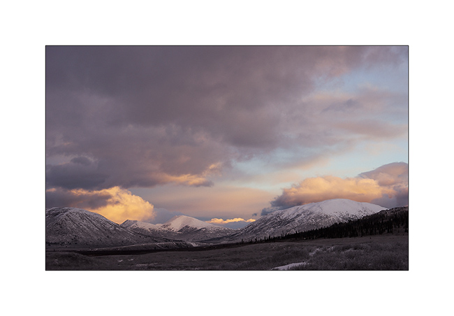
15. Sunray on the opposite side.
16. Probably more than two foot of fresh powder blanked the peaks…
17. … while it blew so much on VLV that there is only about 4 inches around.

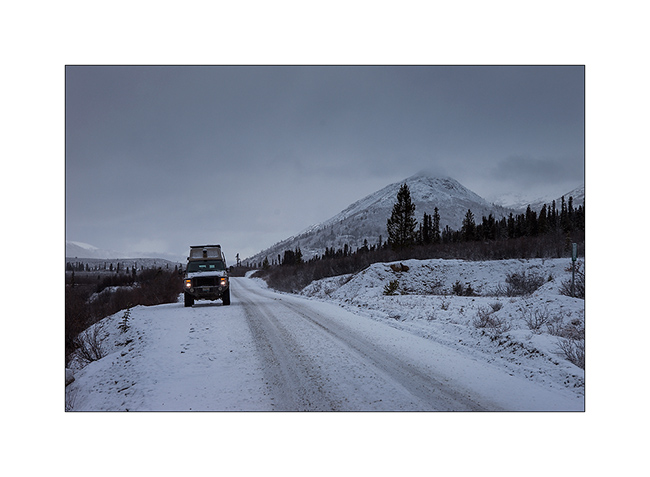
18. Going down towards civilization…
19. … a road in winter conditions.
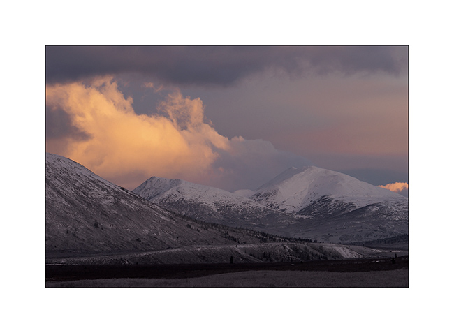
20. Sometimes some rays sneakly break through the clouds…
21. … before a new snow shower. Here, the small lake of yesterday has changed its face…
That concludes my stay in the Yukon Territory that I loved as much as Alaska. Much less touristy but with the same variety of landscapes and wildlife, they have another thing in common: the lack of access roads to a large part of their lands, making them difficult to reach. One thing is certain: if I have the opportunity, I will come back… 😉
VivaLaVida then proceeded South via the Cassiar Highway rather than the Alaska Highway which we drove up North. Obviously with some detours that I will count you soon.
Thank you for your loyalty over and over again … And feel free to share the address of this blog or my FB page “Vivalavida Photography” with friends or acquaintances, they are welcome. 🙂
 D5 Creation