moon
now browsing by tag
En route to Utah, well… not fast ;-)
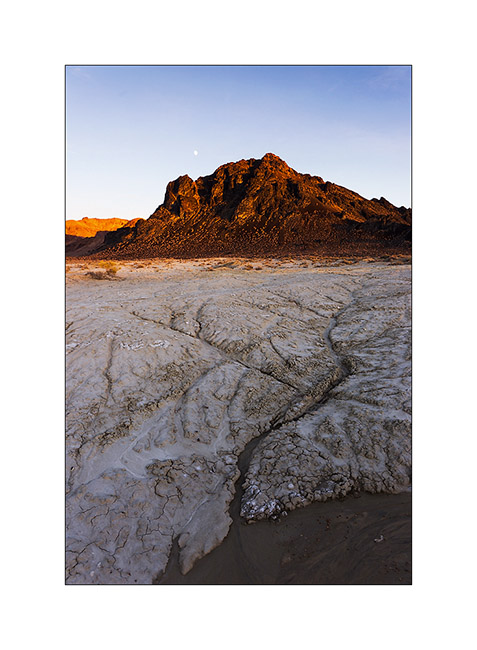
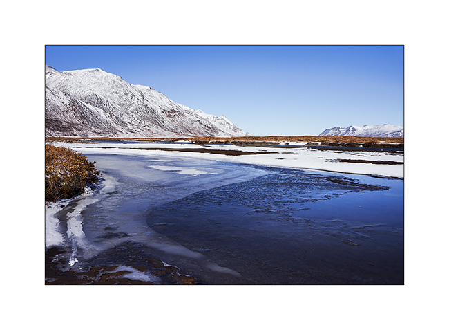
1. In the previous update, I left you with this image of Black Rock that I leave it here again, you’re gonna understand why… 😉
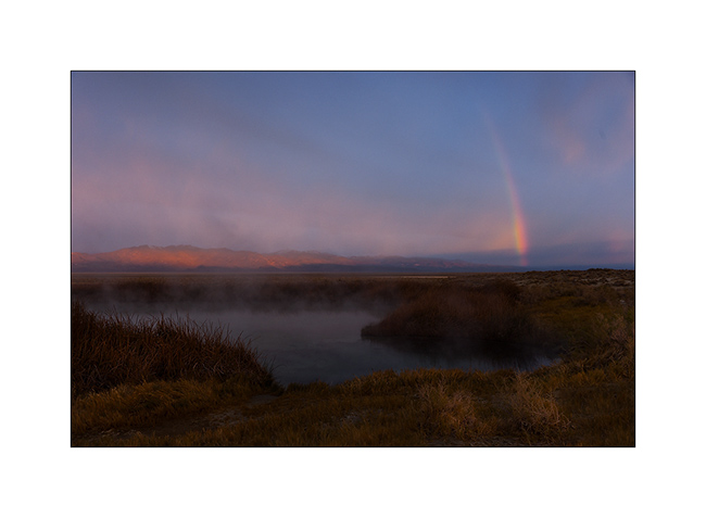
2. The Wake up was quite unexpected with a rainbow in the mist that lasted only a moment.
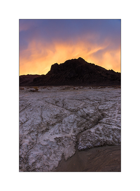
3. Here is Black Rock again, all crowned with a hairs of rising sun. So you have it in the evening and in the morning! 😀
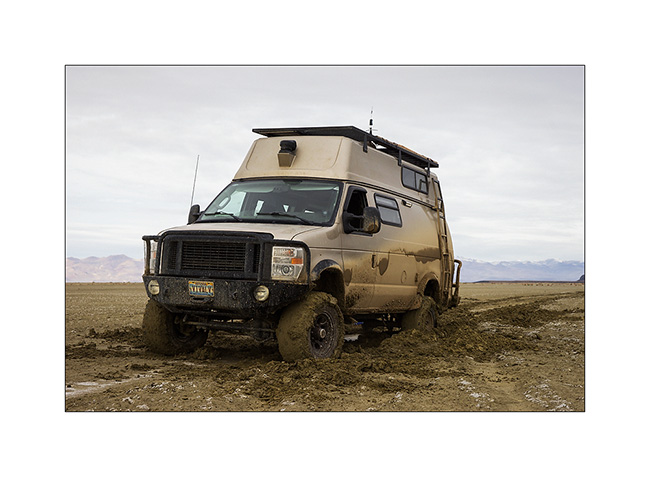
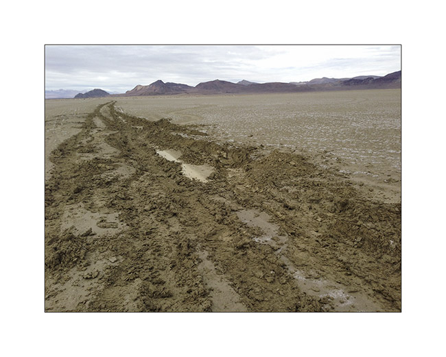
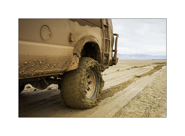
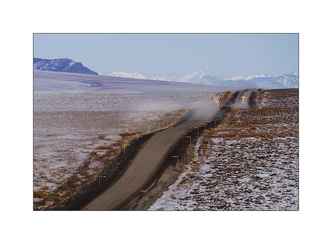
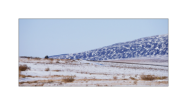
After a walk the day before to see the state of the trail, I decided to cross the high desert of Black Rock which seemed to have dried well four days after rain and snow. At first all went well, about ten miles without a hitch. Then suddenly, without I could notice any change on the track, VivaLaVida lost all grip, as if he was driving on ice! Even at leass than 5 mph, difficult to maintain it on the fine line of the track. Too late to stop, I drove about 3 miles till a simple tilt of 1 ° or so “draged” VLV on the left without the steering wheel reacts. Obviously, out of the trace, the two left wheels were driven into the mud and despite the four-wheel drive and differential locks, VLV has stopped, stucked right..!
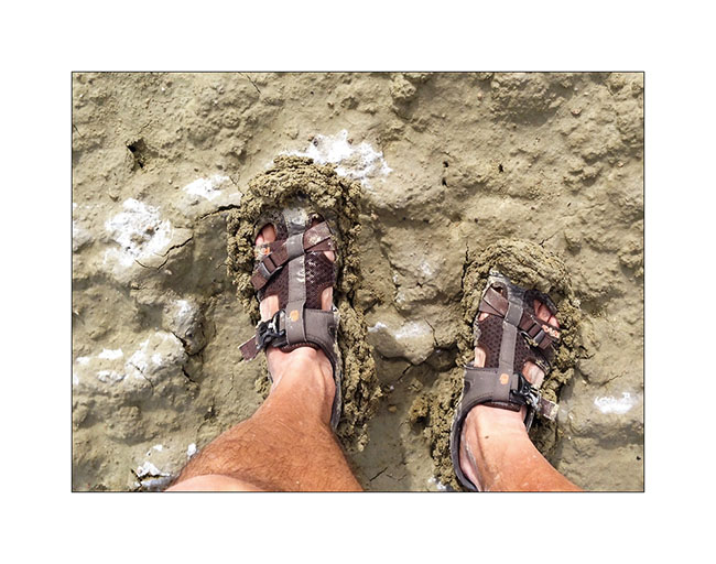
Well, I am alone more than 35 miles away from the first living soul, he’ll have to take out the nearly 5 tons of VLV by myself. So I pulled out the shovel and made a small fitness session to arrange “ramps” to all four wheels, not only to allow VLV out of its gangue but also to guide him back on the track, only trace capable of supporting its weight. I didn’t succeded at the first attempt,you can imagine. But after a few hours of fitness, “muddy” from head to foot, VivaLaVida had regained a semblance of presence with the wheels out of the ruts. 😀
All for nothing as two miles away, a river still flooded prohibited any crossing. So we turned backd and return to the Black Rock Hot Spring with the same trail – to wash Pschitt, shoes and shovel at almost nightfall… 😀
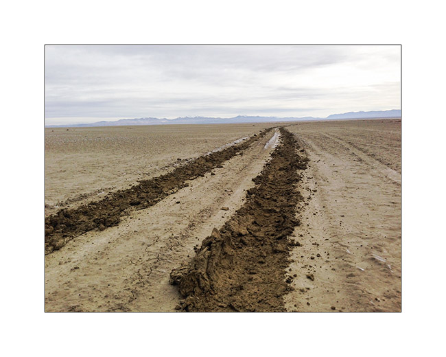
4. Here are the tracks that VLV was doing just before to get stucked, despite largely deflated tires.
5. Gloups, it’s called bogged!
6. Mud is good for the skin, isn’t it? 😀
7. We’re out!
8. No, these are not new wide tires mounted for a better look of VLV… 😉
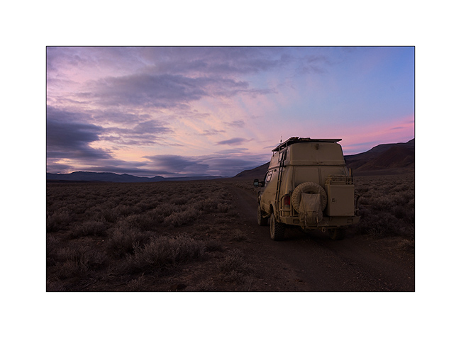
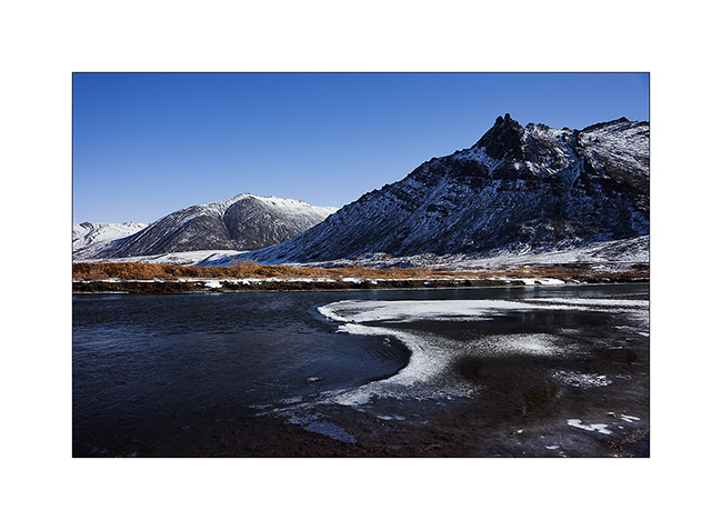
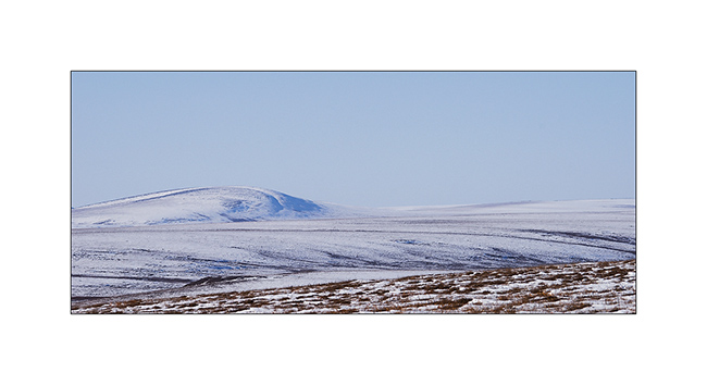
9. After all that, I had to make a detour of more than 150 miles to find the road that would lead me in Utah. However, with stunning scenery.
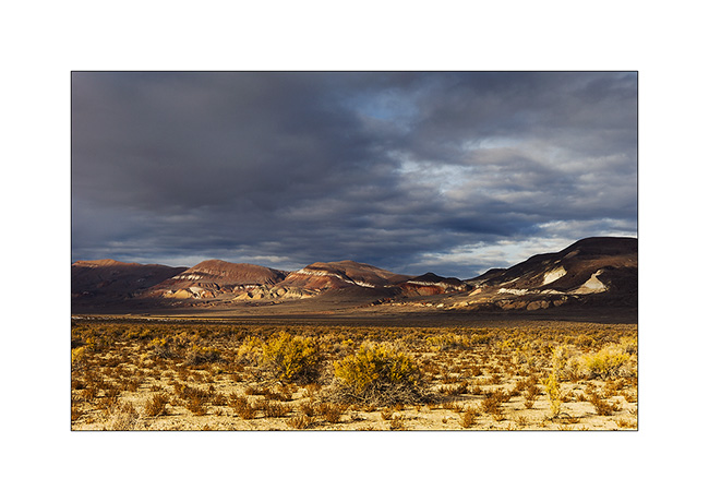
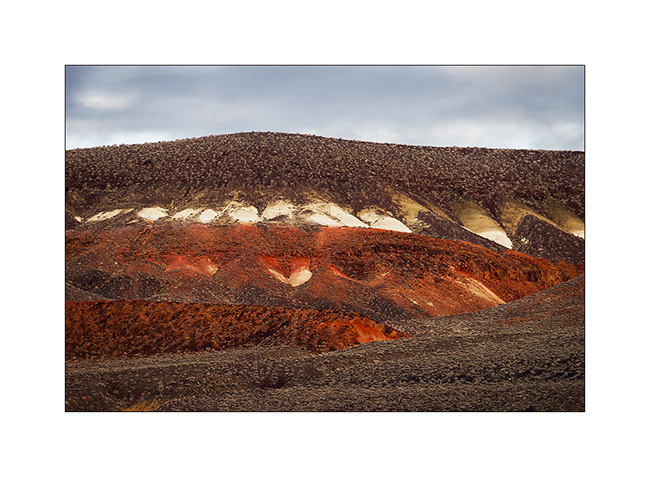
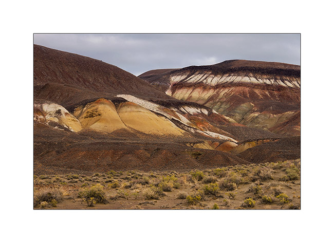
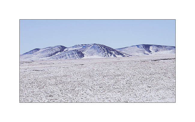
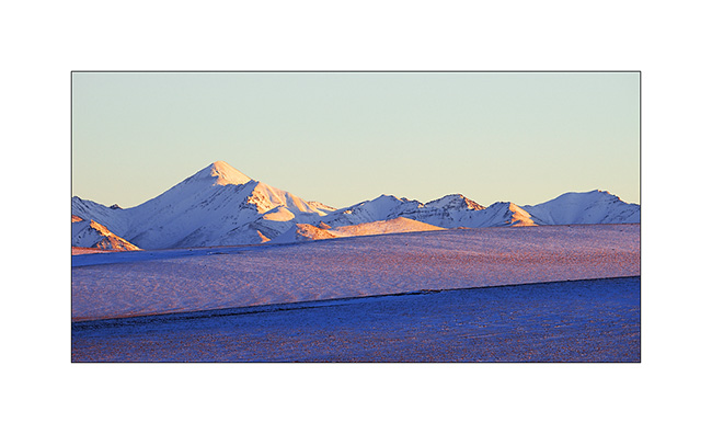
10. In the high Black Rock Desert, mineral colors are impressive…
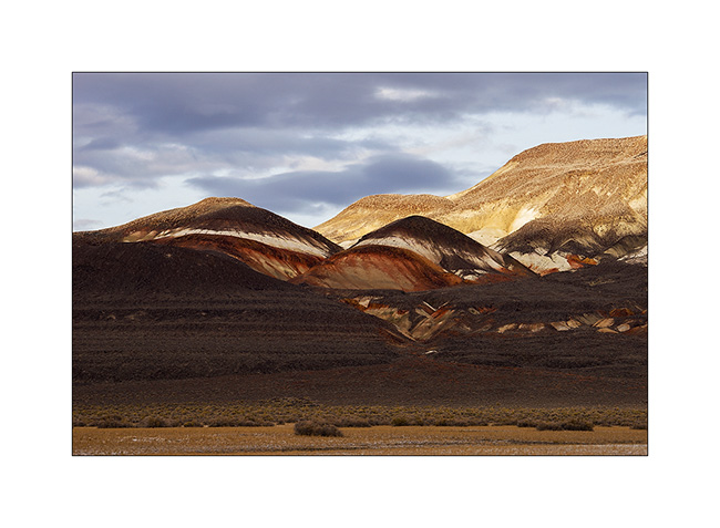
11. … sometimes incredibly saturated.
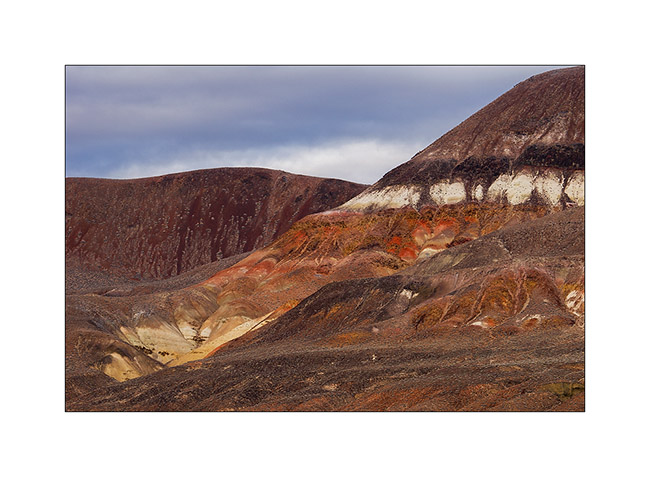
12. It almost sounds like some molten lava, isn’t it?
13. Sometimes softer and pastel…
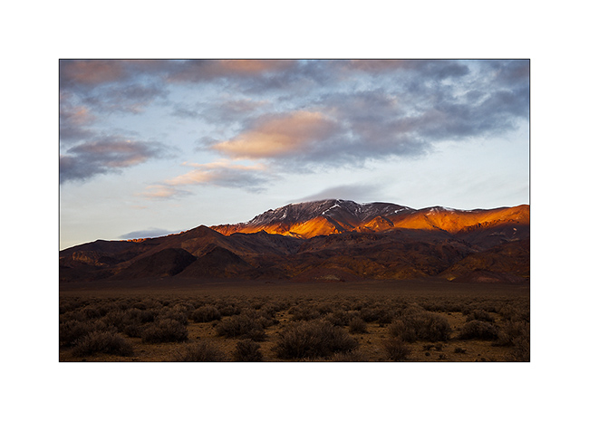
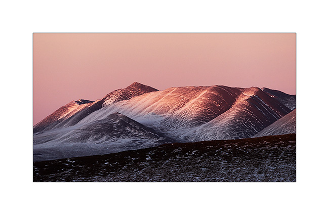
14. Last sunrays over Pahute Peak.
15. The sunset gratified me with very soft pink colors.
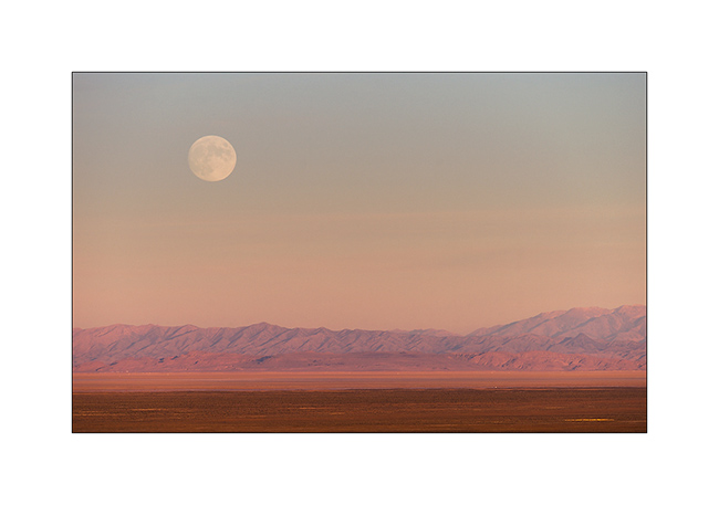
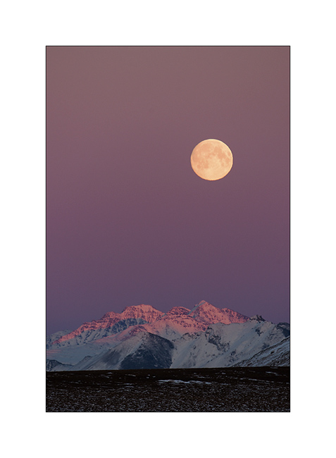
16. The next day, when I joined Utah, it was full moon on the plain…
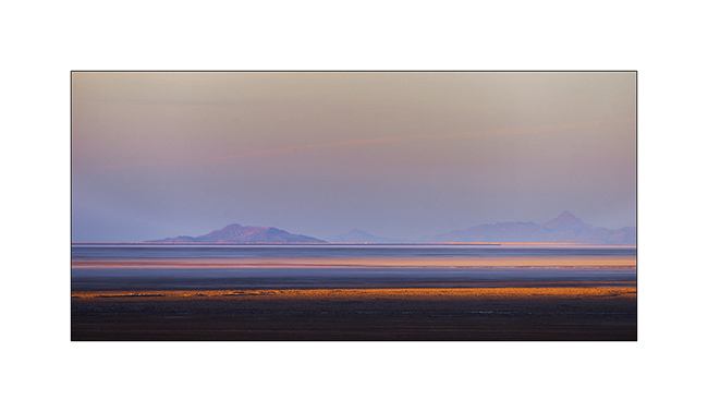
17. The shadows lengthen over the southern Great Salt Lake.
Upcoming episode in a few days…
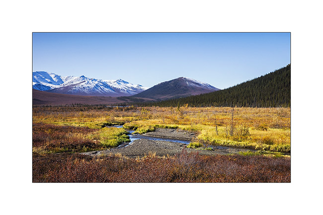
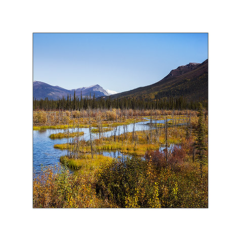
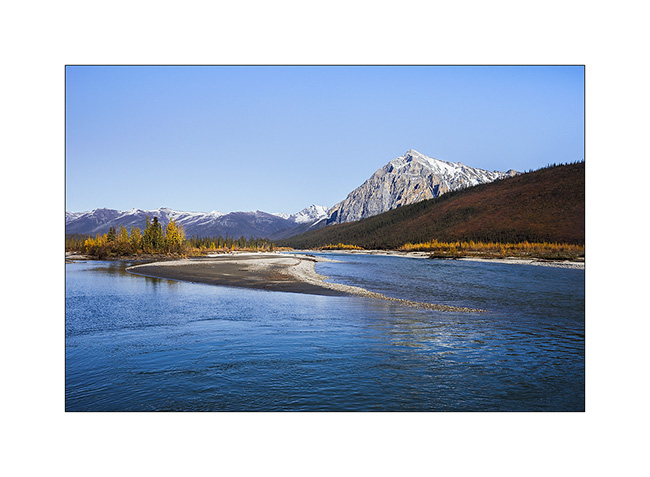
Brooke Range and arctic tundra
We continue farer northward…
1. Nolan valley, a side valley accessible by a really muddy small mining road .
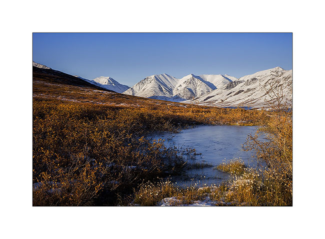
2. At this altitude, the marshes are still not frozen.
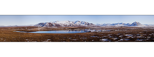
3. I found the Brooke Range that bars northern Alaska back.
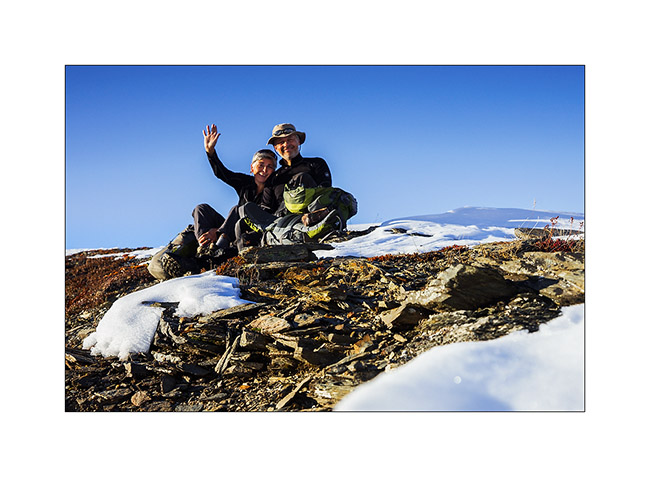
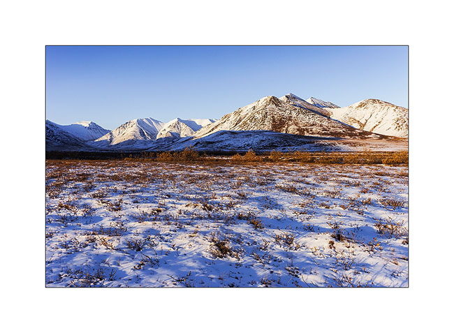
4. We stop a few dozen miles after Coldfoot to go climbing one of the mountains beside the road.
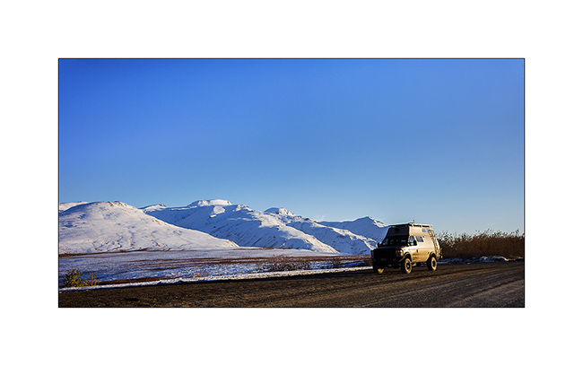
5. While VivaLaVida begins to climb Antigun Pass, the atmosphere becomes wintry.
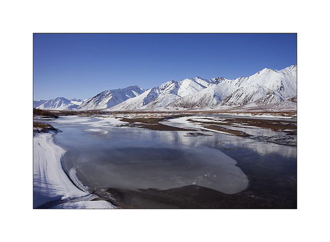
6. All is already frozen here…
7. … and it is already well below freezing in late afternoon.
8. As it’s already late, we find a nice boondocking site before Antigun Pass, approx. 4,000 feet elevation on the banks of a small river.
9. Despite the cold, I’m going to make some pictures while Mino is preparing the aperitif!
Temp will almost reach 10°F that night and VLV’s heater resume service after resting for a few months…
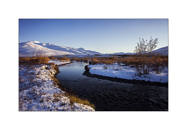
The next morning we cross the Antigun Pass and stop thirty miles down it to go hiking along a beautiful river.
10. The blizzard that blew here two days previously installed winter before autumn has arrived…
11. Despite a significant current, the banks of the river are well frozen. It was about -5F° in previous days…
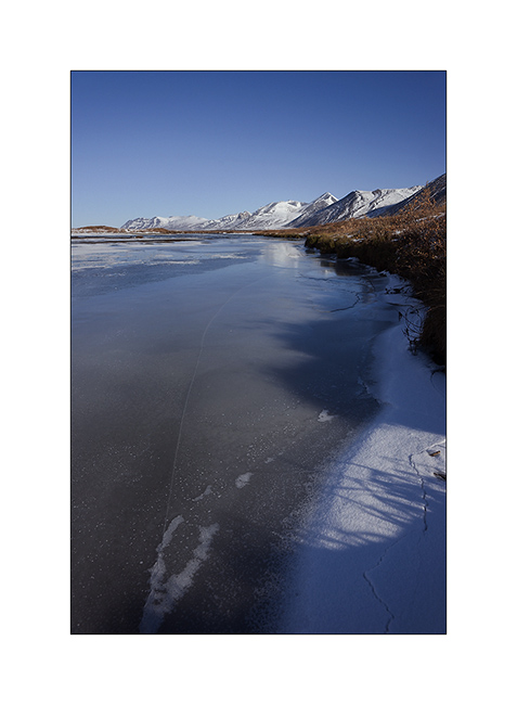
12. I enjoy the clear light to play with ice concretions…
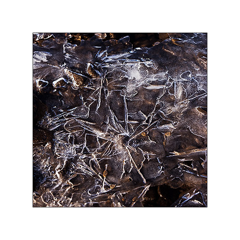
13. … sometimes contrasting and twisted…
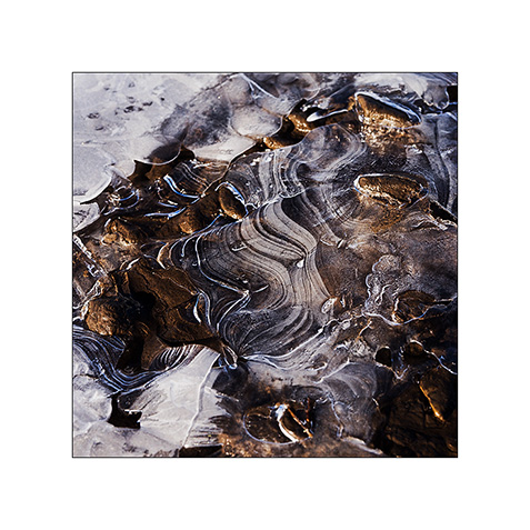
14. … sometimes carved by running water below.
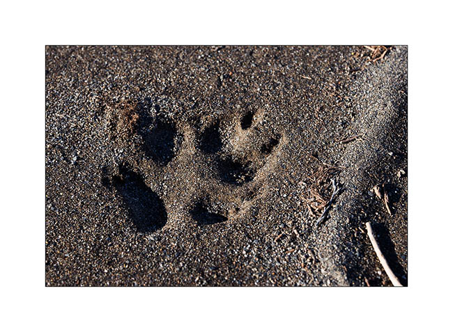
15. On a bank, we find wolf tracks. It happened here less than two days ago, the snow testifies it.
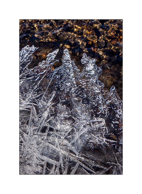
16. The show is sparkling as the river is freezing and carries plates of ice that break in crystal clear sound…
17. … and our eyes feast.
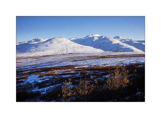
18. Continuing towards the far north, the landscape becomes truly arctic.

19. Blizzard designed the reliefs.
20. Not sure that the truck drivers who supply Deadhorse and Prudhoe Bay are all aware of this beauty…
21. We leave VivaLaVida to walk on a side track…
22. Perfect lines of the wintry tundra…
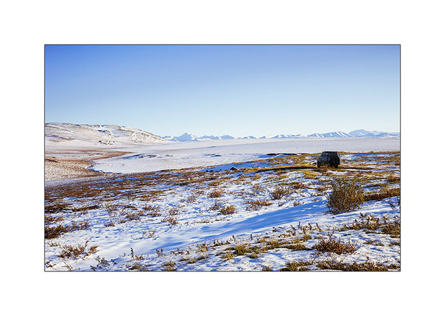
23. We will not go to Deadhorse, the last part of the track is less interesting. We stop at the last foothills of the Norths Brooke Range…
24. … and even find a camp on the tundra. What a fantastic place to camp, isn’t it? 😀
25. The Sunset is beautiful again…
26. … the last rays coloring the hills…
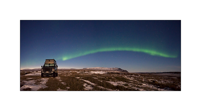
27. … before a magic full moonrise.
28. And to complete this grandiose day, a northern light came to wish good night to VivaLaVida while the full moon was lighting up the tundra!
We began our descent back to the South the next day. To discover in the next update… 😉
Thanks again for your loyalty!
Kenai Peninsula (2)
Still near Homer, the next day we decide to flight over the Harding Icefield, one of the giant icefields that covers the southern Alaska. We chose a small seaplane and to fly between 7:30 and 8.30 PM hoping for a nice light.
1. As soon as we take off, we can see some first glaciers.
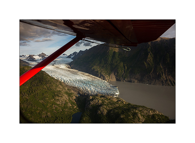
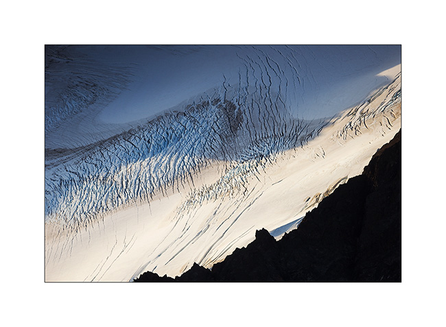
2. Fifteen minutes later, we fly over the Harding Icefield : almost 70 miles long and more than 30 miles wide!
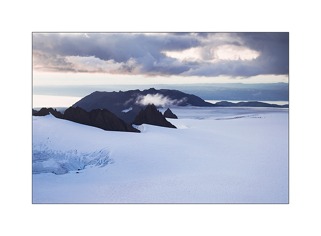
3. Large glaciers go in all directions.

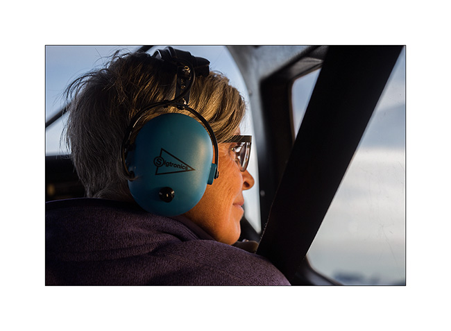
4. Besides the pilot, Mino doesn’t loose a crumb of the show.
5. Some light gaps offer me nice views…
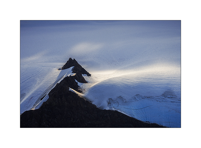
6. Motionless cascade…
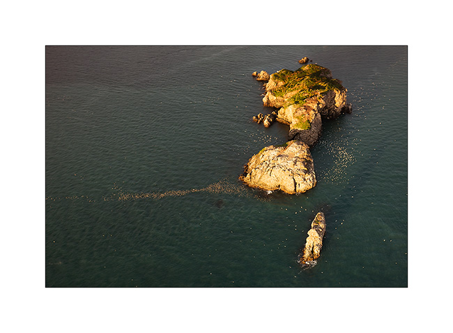
7. On the way back to Beluga Lake, our “sea strip”, we flew over an island, refuge for thousands of birds.
8. We leave Kachemak Bay at sunset…
9. … with a beautiful view of Kodiak Island in the distance…
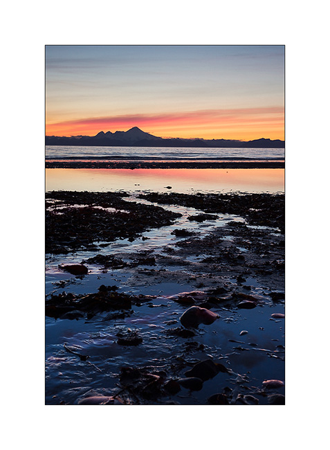
10. … to find a wild place in the dunes, near Anchor Point.
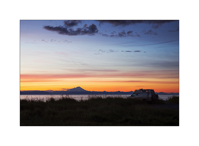
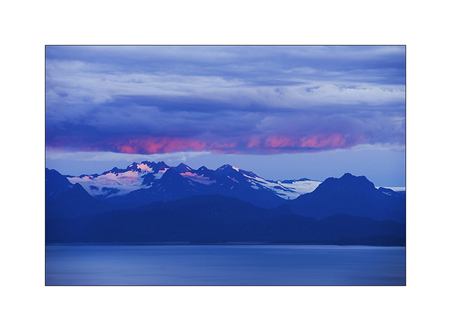
11. Sunset over Cook Inlet and Iliamna volcano; there are worse places to sleep, isn’t it? 😉
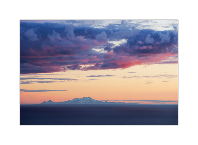
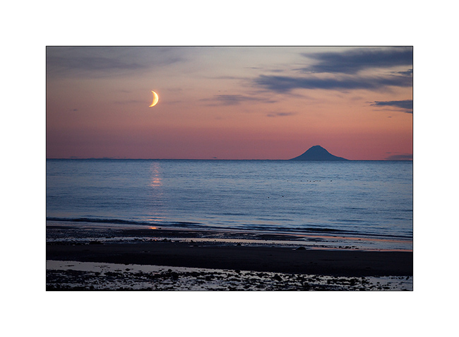
12. The moon also goes to sleep near the volcano island Augustin…
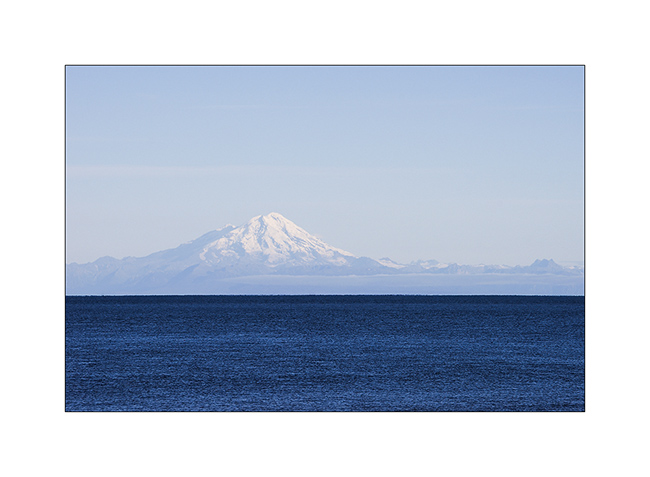
13. An air of Mount Fuji, isn’t it? But it’s another volcano: Mount Redoubt.
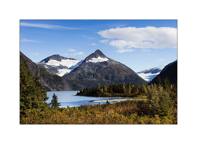
14. Going North to Anchorage, little detour toWhittier and short stop at Portage Lake, a beautiful glacier lake.
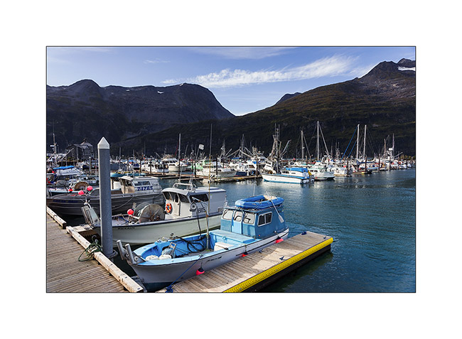
15. Whittier harbour, at the bottom of a fjord in Prince William Sound.
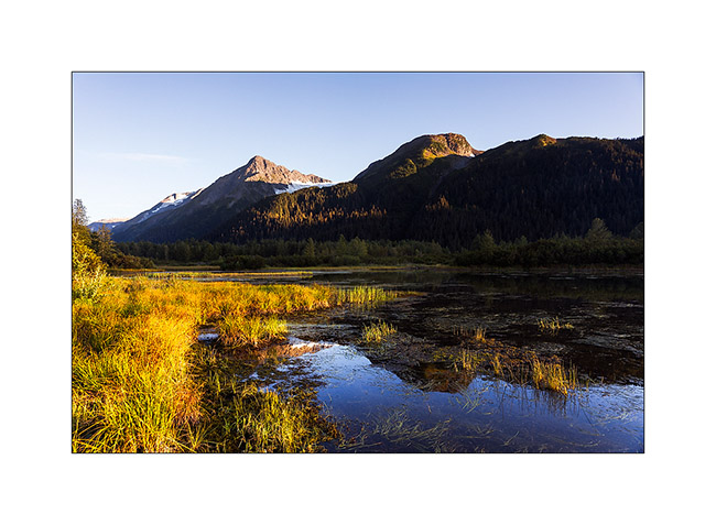
16. While seeking for a place to camp…
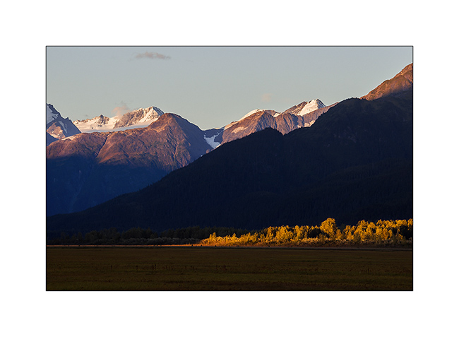
17. Late afternoon in the mountains…
After this brief jaunt to the Kenai, we’re back in Anchorage awaiting a response to a possible change of Mino’s return flight that could allow us to stay longer to explore this beautiful Alaska. We will keep you in touch in the next update! 😀
 D5 Creation