Italy
now browsing by category
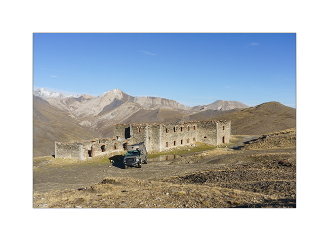
Jafferau fortress, then Vallée étroite (Narrow valley)…
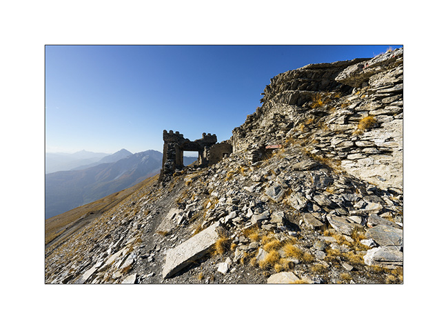
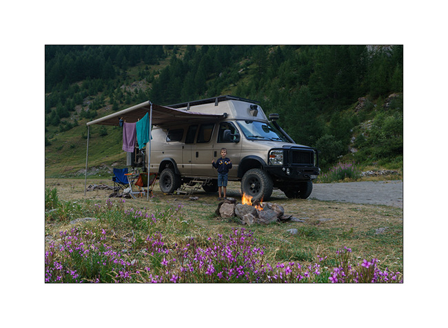
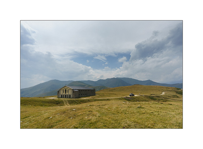
While setting up camp, I badly sprained my ankle. Despite the ointment applied quickly and a bandage to try to succeed in putting the foot on the ground, I will have to revise the plans. Damn! Here I am forced to give up a hike planned in two days. So, after having slept just under Fort Jafferau, we decide to take a look at this fortress in ruins.
1. South portal or what’s left of it…
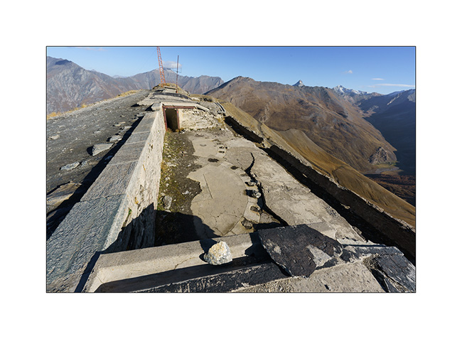
2. Here, canon battery bases with the arcs indicating the directions of fire.
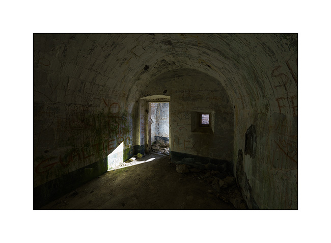
3. And one of the many vaulted chambers which likely served as cantonment.
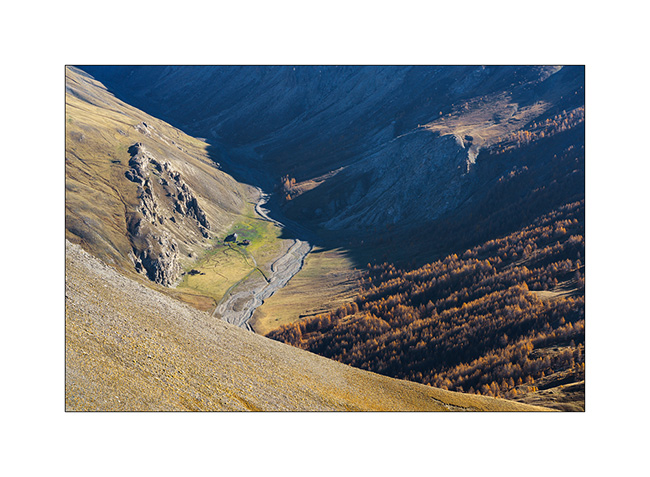
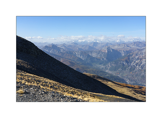
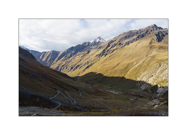
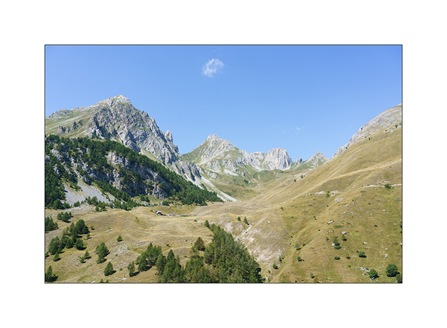
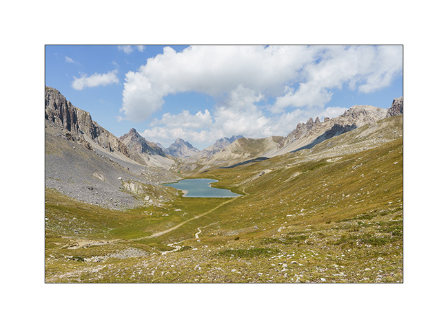
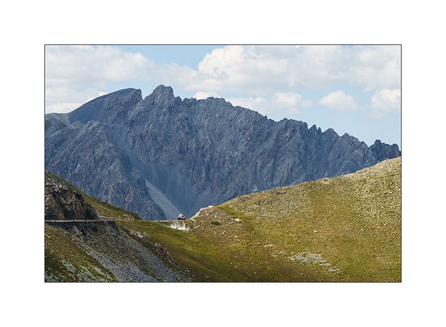
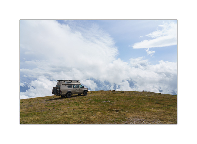
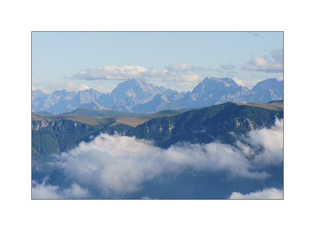
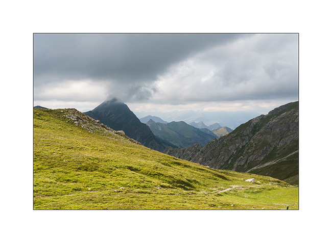
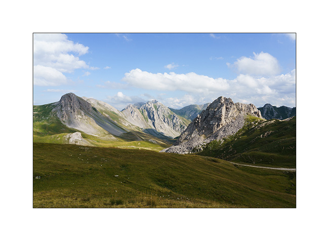
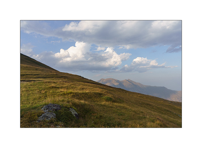
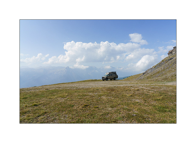
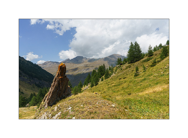
4. Bird’s eye view of an alpine pasture below.
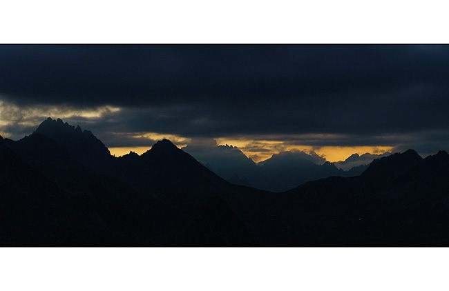
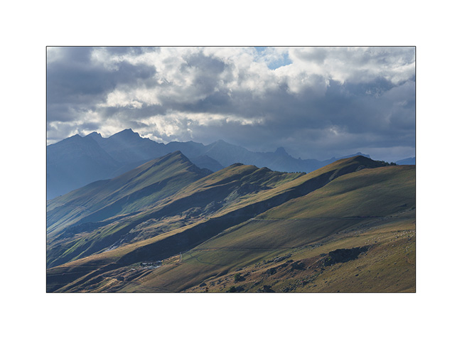
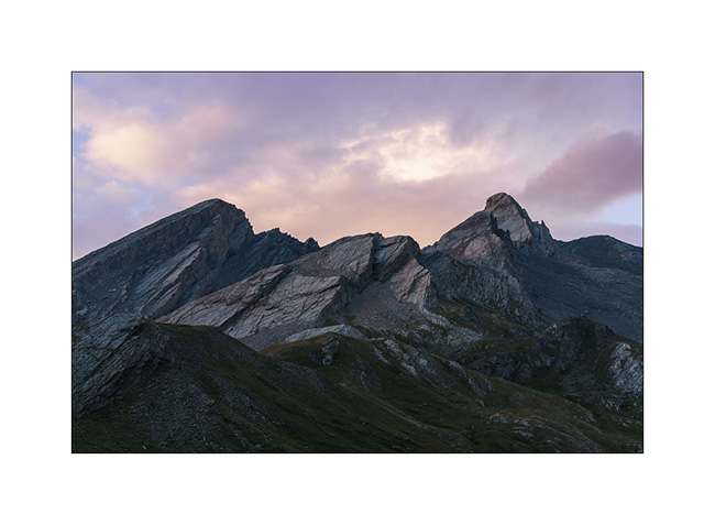
5. Panoramic view of Ecrins mountains to the West.
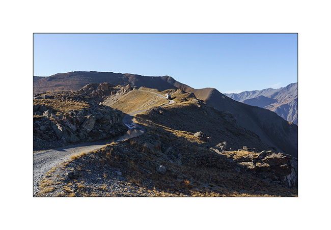
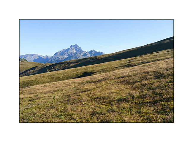
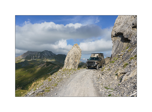
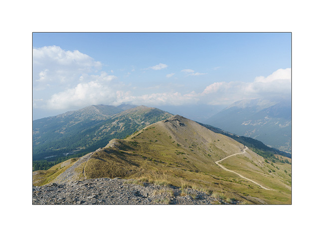
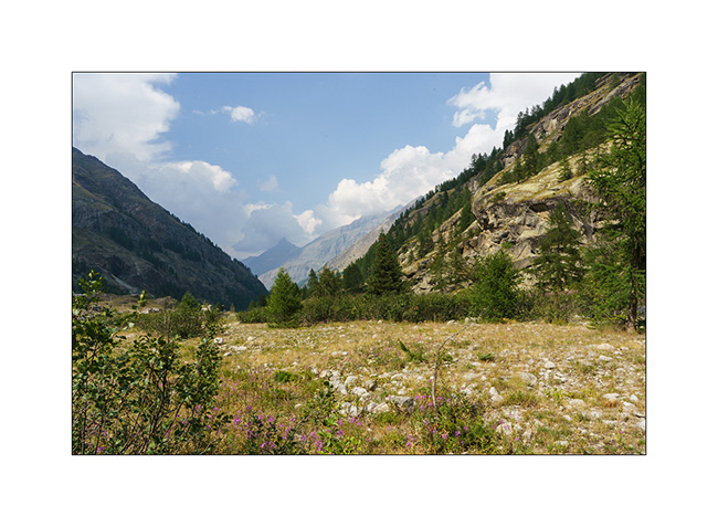
6. Descent to Bardonecchia via the northwest side.
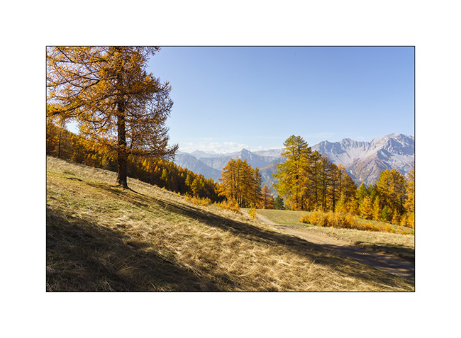
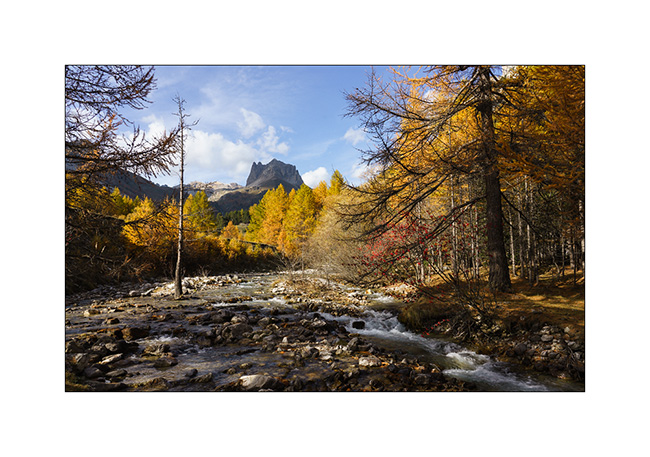
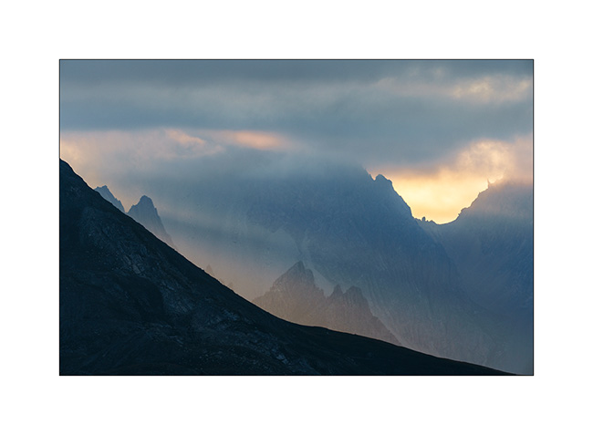
7. We take advantage of the afternoon to discover the Vallée Etroite (Narrow Valley) straddling the Franco-Italian border. The enfilade towards Mount Thabor is magnificent with the fall colors.

8. Opposite, by where we arrived.

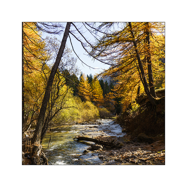
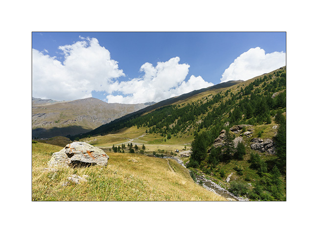
9. The river that carved out this valley, called Narrow Valley Stream.
10. I take advantage of varying the compositions since I can hardly walk. Variation 1.
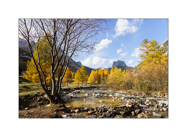
11. Variation 2.
12. And one last before leaving to do some grocery shopping in Bardonecchia and refuel VivaLaVida since the strikes in France make the refill difficult.

The rest with a return into the Clarée Valley in a few days. Thanks! 😀
Discovery and re-discovery…
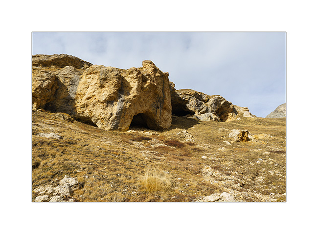
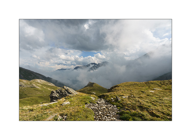
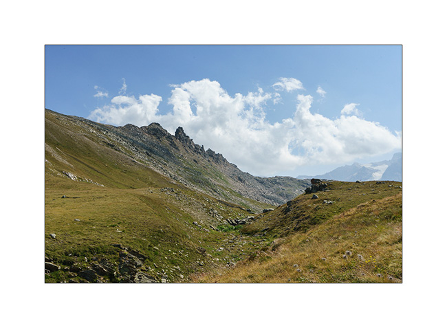
Still going down in the valley that leads to the Col du Sommeiller, we stop to discover a vast alcove created by the collapse of a friable cliff.
1. The cavity visible on the other side of the torrent, at the top of a steep slope.
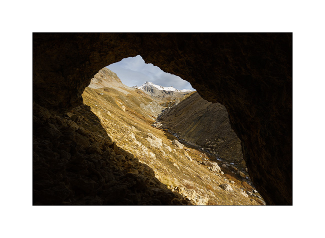
2. Here we are. Emile gives the scale.

3. I take this opportunity to “frame” the landscape…
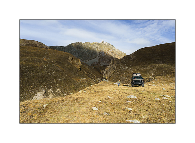
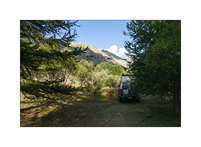
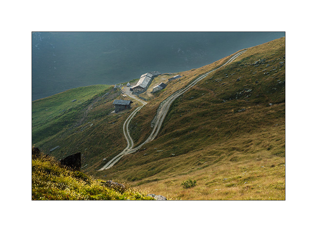
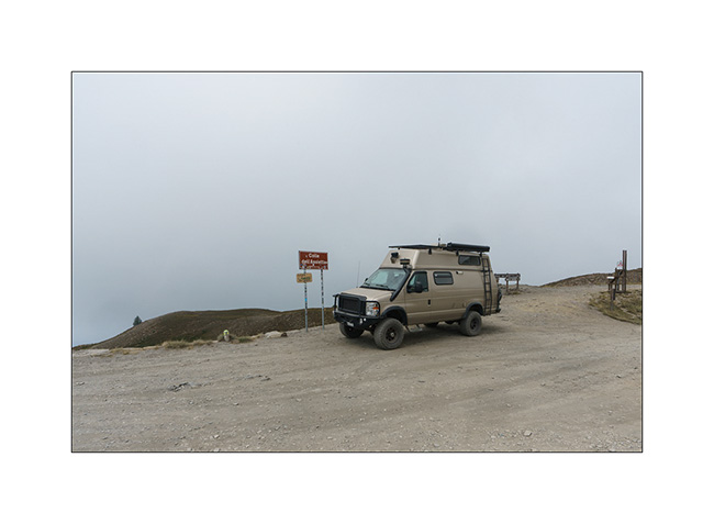
4. Back to VivaLaVida.
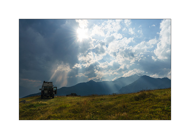
5. VLV in the switchbacks of the track above the Scarfiotti refuge.

6. The surrounding mountains as the sun slowly turns West.

7. The valley below the refuge.
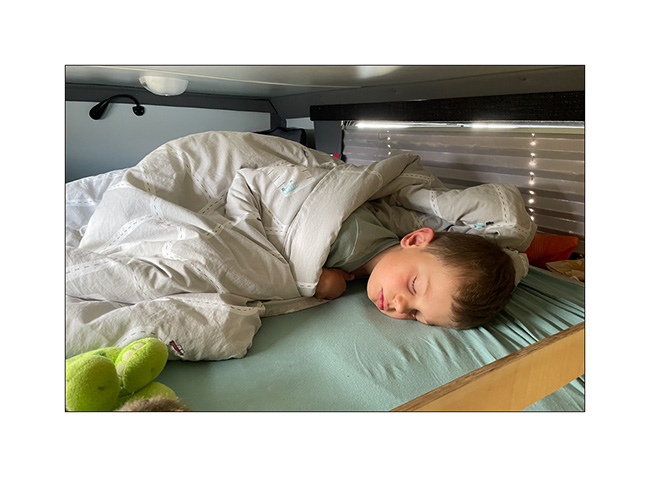
8. Wake up!
9. This is the period when the larches are all golden!

10. Rochemolle village.

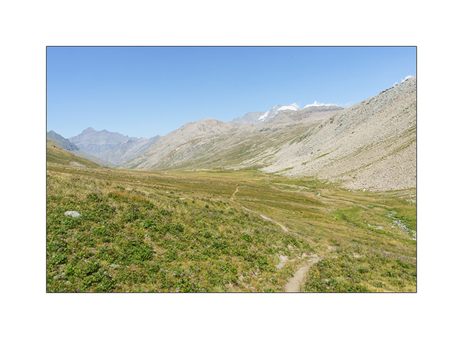
11. Ascent to Colle Basset that we drove in the other direction this summer.
12. As we rise, the view opens up to the distance…
13. VLV on the trail above Colle Basset.
14. Valfredda valley.

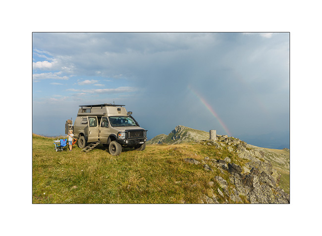
15. Fort in ruins.
16. We sleep just above, with a superb panorama!
NExt to come soon… 😀
Fall holidays
Our short week of vacation with Emile begins with a rainy day. We make the road to the region of Bardonecchia where I hope to drive the Sommeiller trail that we had not been able to discover the past summer.
1. Rainy boondocking above Rochemolle.
2. The next morning, the clouds have disappeared and the sky is blue when we wake up.
3. Uphill to the Scarfiotti refuge.
4. Higher on the trail…
5. The surrounding mountains are gorgeous!

6. High altitude fall colors.

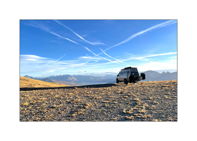
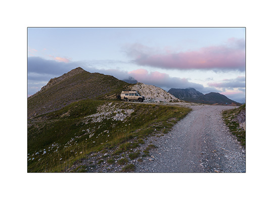
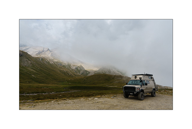
7. VivaLaVida on the trail, at already more than 8,200 feet above sea level.
8. Arrival at the end of the trail whose descent on the other side has never been built.
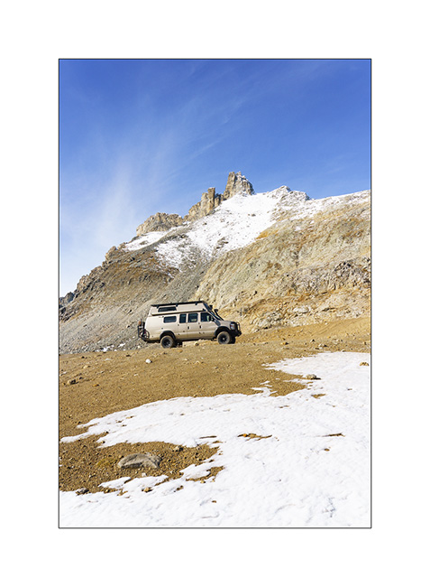
9. Round altitude (3,000 meters = 9,842 feet), the highest reached by VLV in Europe. As a reminder, she went over 13,000 feet in 2016, in Colorado…

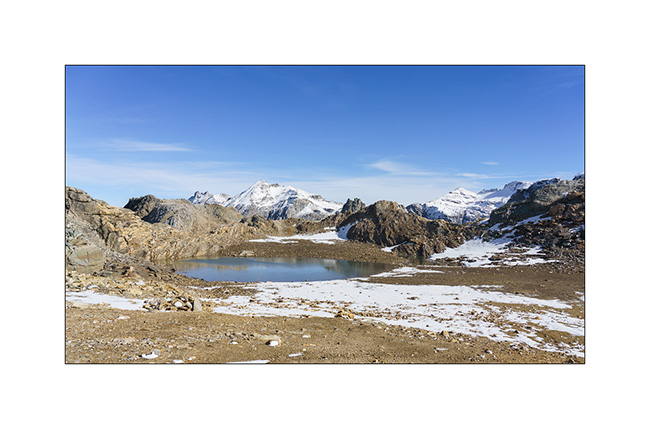
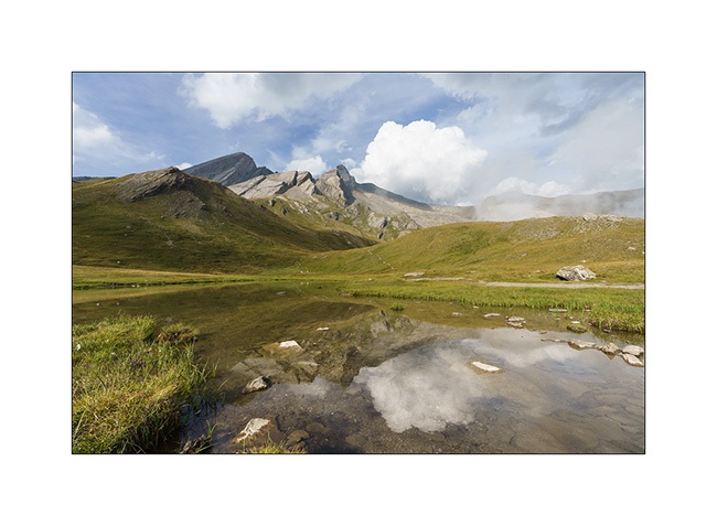
10. The small lake which is just after the pass.
11. And the other side remained empty of trail. Only a footpath leads down to the Ambin Valley.

12. We are close to the first snow that fell a few days before…

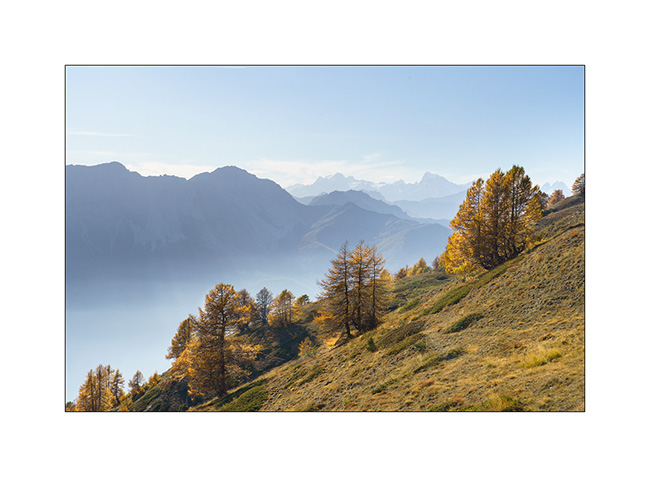
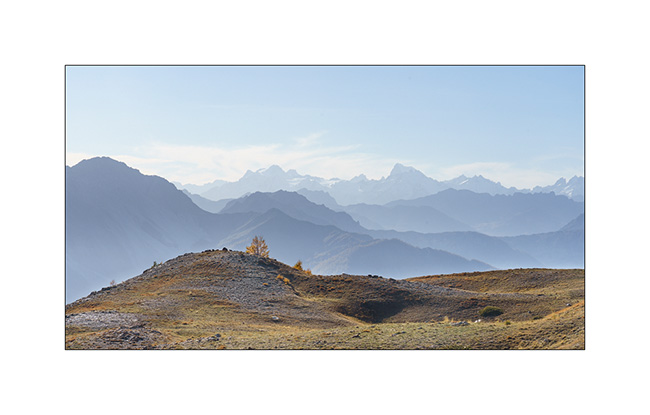
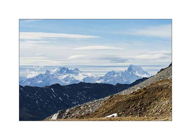
13. View of the peaks of the Parc des Ecrins in the distance…
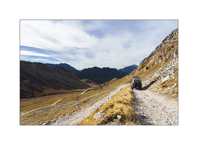
14. Descending back. We only passed two local motorbikes all day.
To be continued in a few days… 😉
Lakes in Ubaye
We leave this beautiful place to discover others…
1. Going down from Colle Fauniera.
2. We find a boondocking place on the edge of a pretty river, very close to the French border from where we will hike tomorrow.
3. …
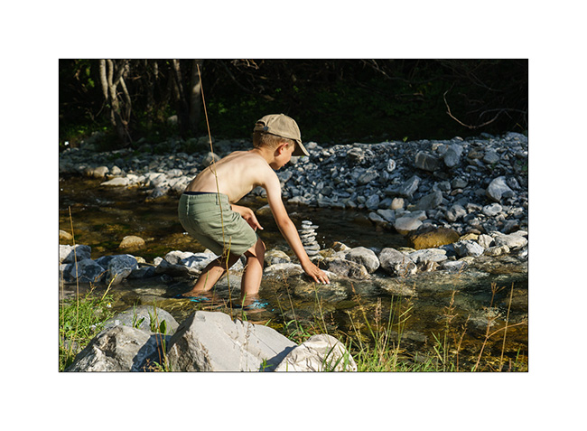
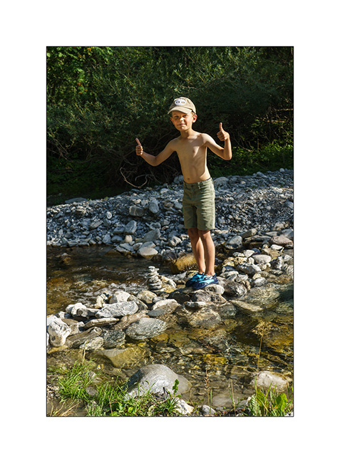
4. And we build a dam on the river!
5. …
6. …
7. Leaving VivaLaVida early the next day for a nice mountain hike to discover several lakes.
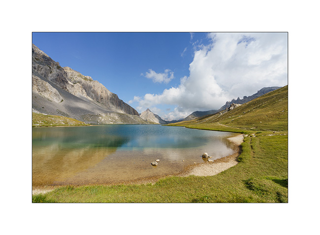
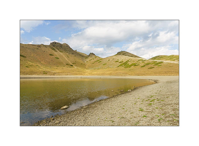
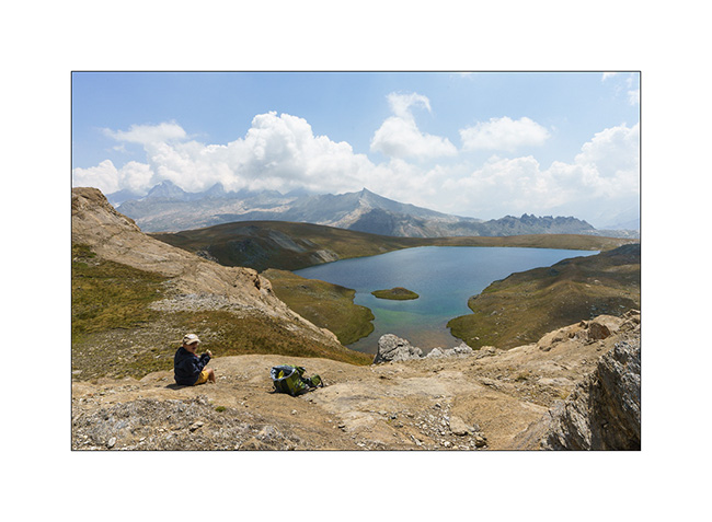
8. The goal of our day: the Lake of Roburent which I wanted to discover for a long time.
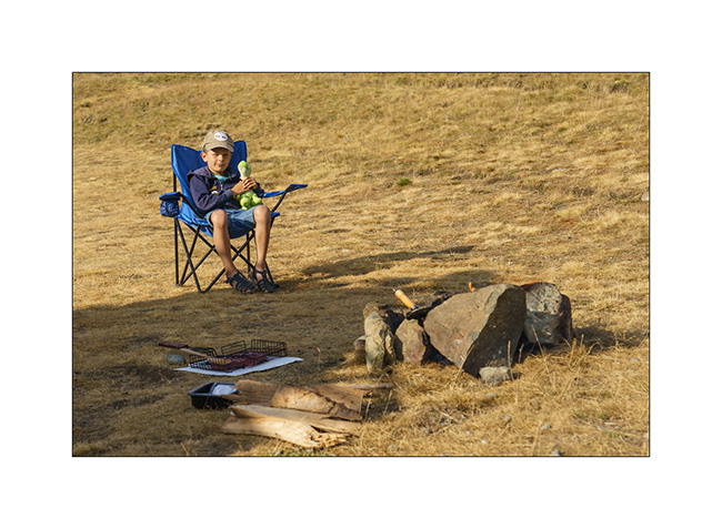
9. That’s where we picnic…
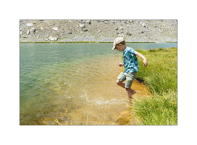
10. .. and Emile plays for a while.
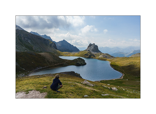
11. We start the way back with a climb to the Col de Roburent.
12. Emile frolics like a goat!
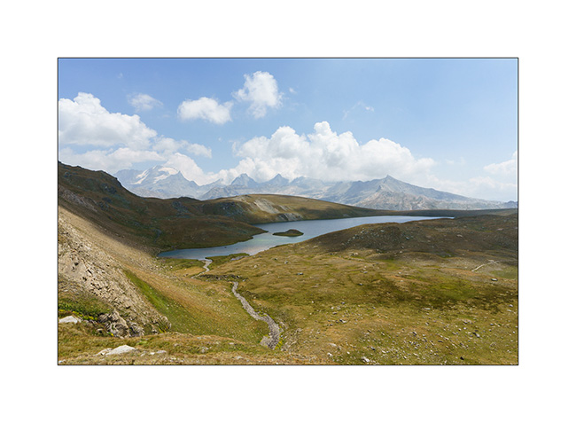
13. The valley we descend with the Lake of Orrenaye.
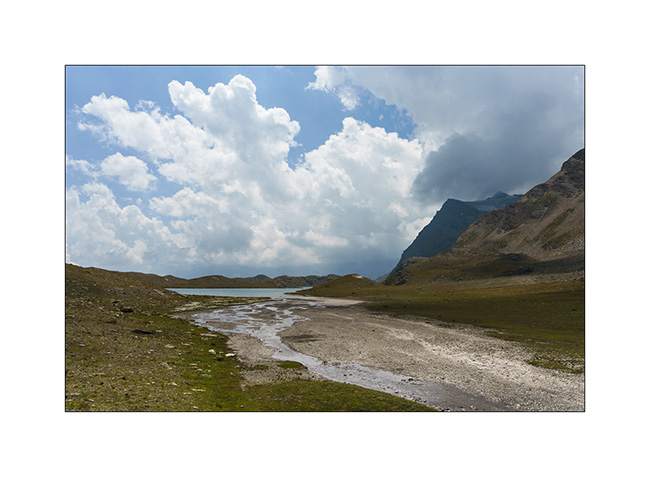
14. We stop there to refresh ourselves before returning to camp at the same place as yesterday…
Continuation and end of our three week trip shortly. 😉
Maira Stura
1. Wake up on these beautiful mountains that serve as summer pastures.
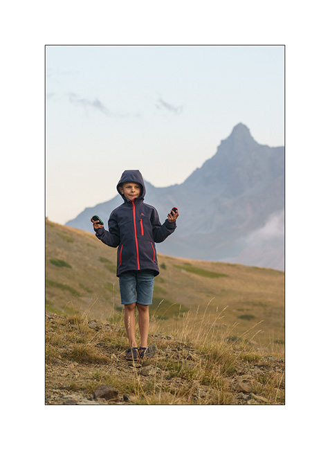
2. Emile explores the surroundings.

3. …
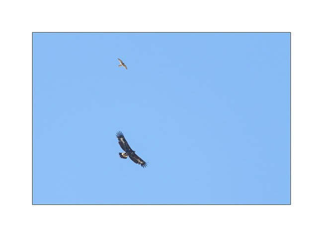
4. A golden eagle flies over, watched by a kestrel.
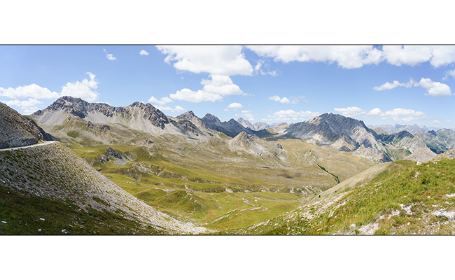
5. Panoramic from our camp.
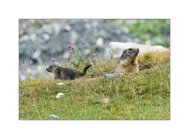
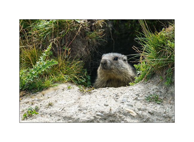
6. Watching the marmots.
7. Emile loves it!
8. On a hike, VivaLaVida is waiting for us at the camp.
9. Curious depression that looks like a kind of sinkhole.
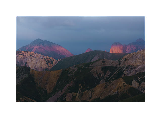
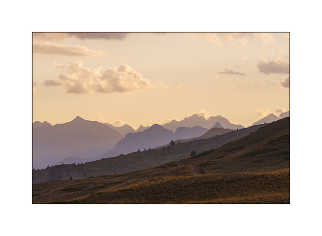
10. The end of the day brings us beautiful lights again…
11. …
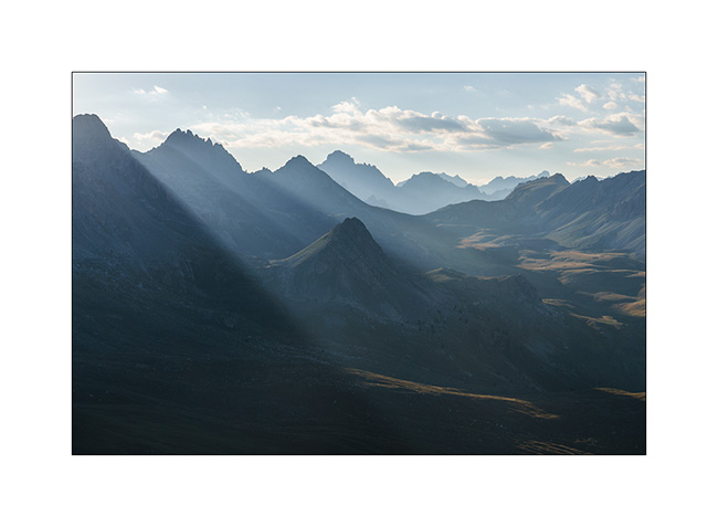
12. Rays in the distance…
13. Our camp.
14. Last colors…
15. Sunset…
16. Dusk…
Continuation of our little journey very soon!
Strada del Canoni…
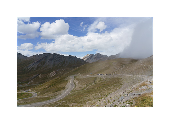
After Colle Agnello, we continue to discover high altitude trail.
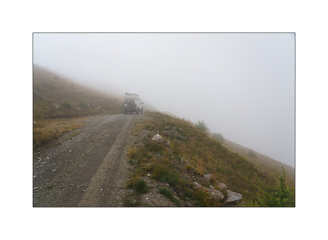
1. Ascent in the rain…
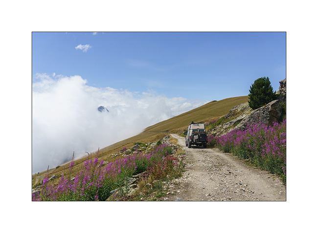
2. Fortunately, after lunch, the sky starts to open.
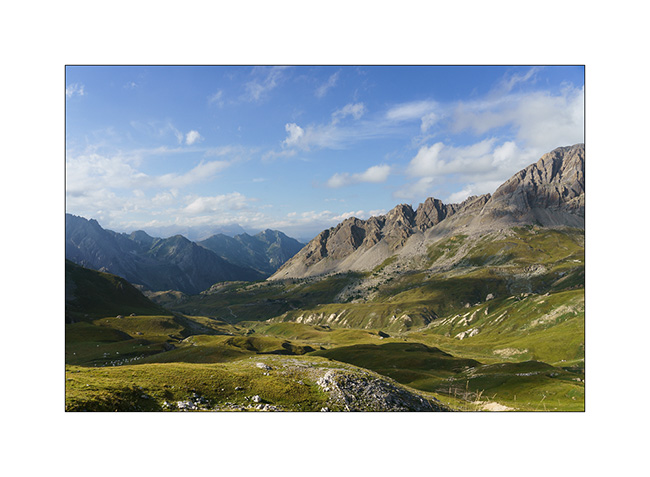
3. We are again at more than 6,500 feet elevation.
4. And the sun returns in late afternoon.
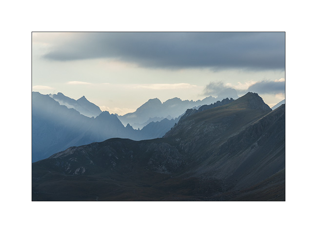
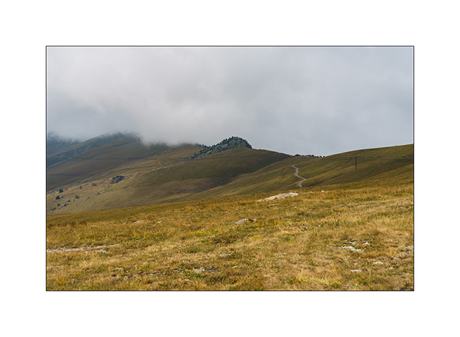
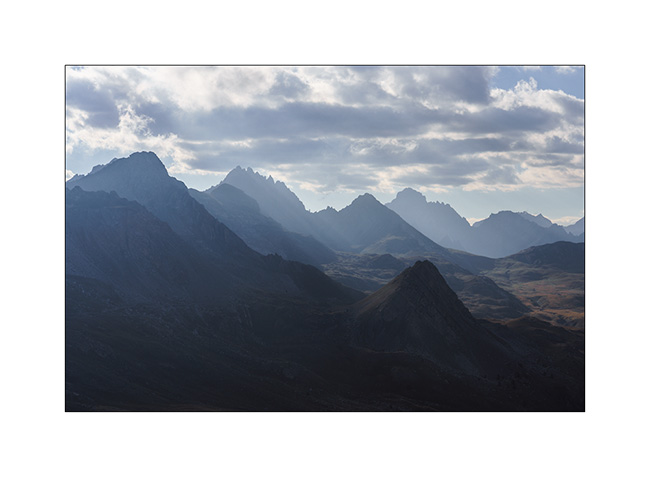
5. The clouds still cling to the north.
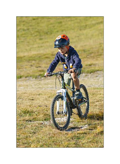
6. Emile trains on his bike.
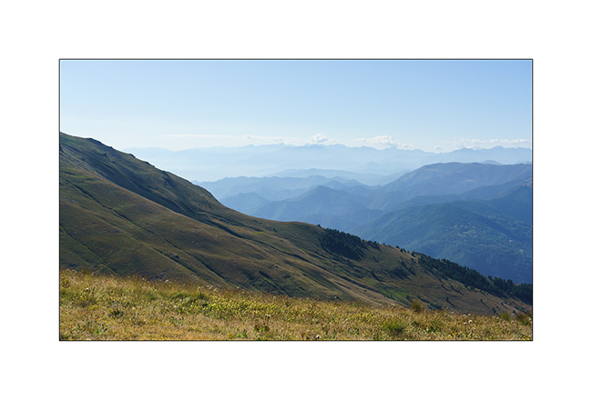
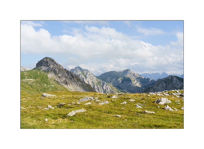
7. View from above…
8. In the distance, the Maira mountains that we will discover later.
9. In the morning, blue sky is back.
10. On the Strada del Canoni trail.
11. Distant view…
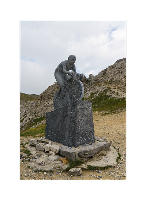
12. After having tried to reach the Maira by the Meja valley which we discover closed by a gate, we climb there by the Colle Fauniera.
13. It is a pass visited by the Giro and a sculpture recalls it.
14. We discover the trail of the Maira Stura from the East side, looking for a boondocking place.
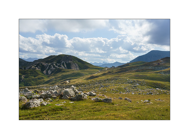
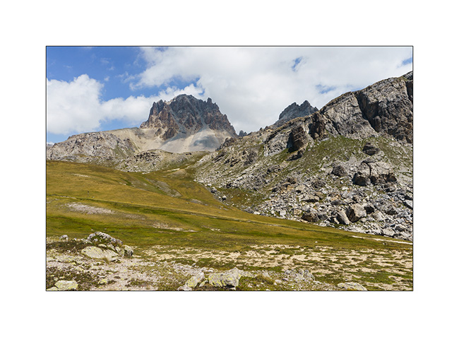
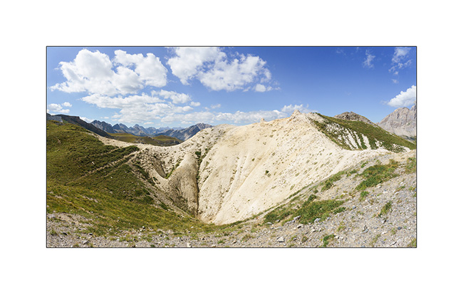
15. The massif is spectacular, alternating limestone walls and high meadows.
16. …
17. VivaLaVida on the trail.
18. Val Meja from above.
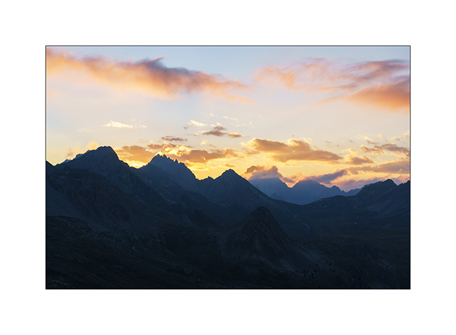
19. Sunset from our camp.
The trail being closed to motorized vehicles on Sunday, we spend a full there day enjoying this beautiful panorama. We’ll tell you that soon. 🙂
Lacs et Queyras…
1. Dernière soirée dans le Val Argentera.
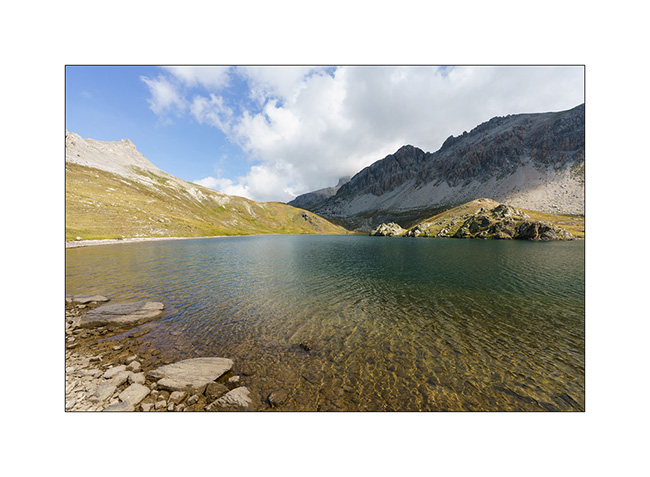
2. Le Lago Nero (Lac Noir), proche de la frontière franco-italienne, bondé ce jour-là alors que plusieurs colonies s’y sont données rendez-vous pour la journée. Nous décidons ainsi de poursuivre la piste vers un autre lac d’altitude.
3. Campement à 2’400 m. d’altitude.
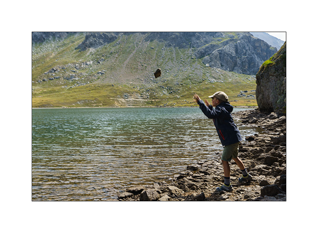
4. Emile s’entraîne à faire des ricochets.
5. Quiétude…
6. Préparation du souper.
7. Couchant
8. On se couvre un peu alors que la brise du soir rafraîchit l’atmosphère.
Ensuite, nous partons découvrir le Colle Agnello qui relie la haute vallée du Queyras à l’Italie. La vallée qui y mêne est magnifique, nous y reviendront à l’occasion.
9. Dernier lacets avant le col alors que la brume bouche le versant italien.
10. Nous trouvons un bivouac sur le versant italien, près d’un petit lac.
11. Et surprise, la brume se retire en début de soirée…
12. J’en profite pour tirer le portrait à ce joli petit lac.
13. Dernières lueurs sur les sommets.
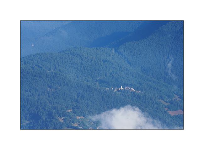
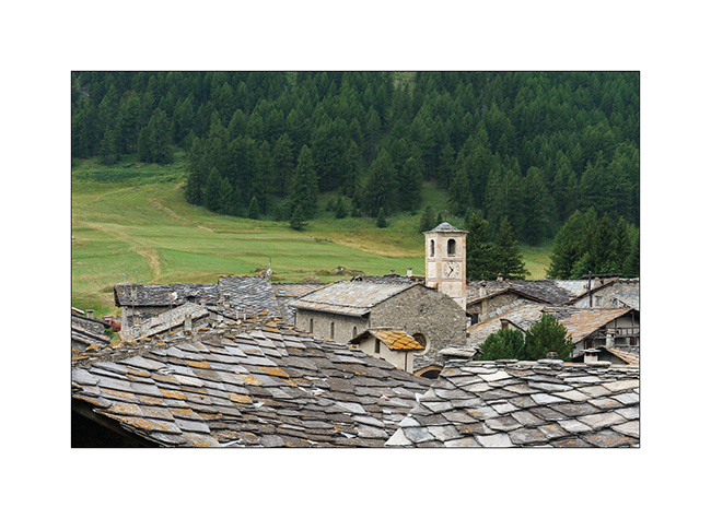
14. Village aux traditionnels toits de pierre sur la descente côté italien.
La suite dans le prochain post.
Slowly going South…
After these two days around the Colle del Nivolet, we move a few miles South along the first alpine foothills which border the Piedmontese plain..
1. Short stop at Pont-Canavese to refurnish us with various groceries.
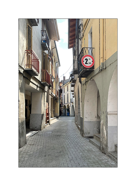
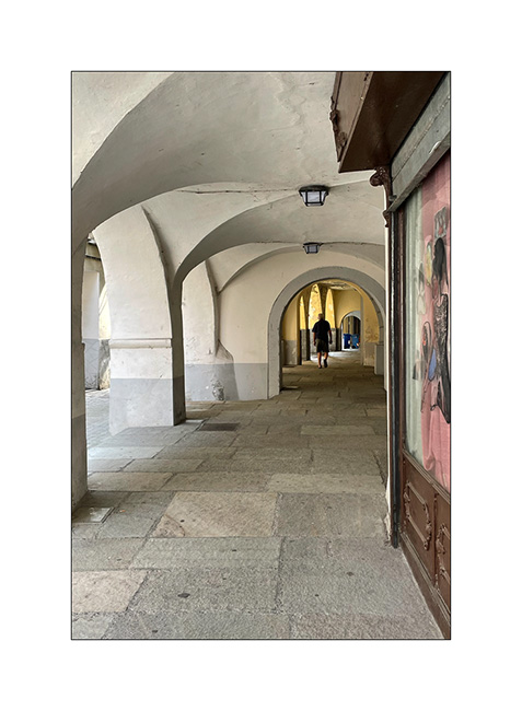
2. This village offers the typical architecture of the region with narrow streets and houses build over the sidewalks and stalls thus shaded.
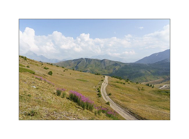
3. Then, a nice climb on the trail that leads to Colle del Colombardo and its imposing sanctuary overlooking Turin.
4. A few storms are brewing, which will however avoid our camp.
5. We sleep on a hill, along the descent on the south side.
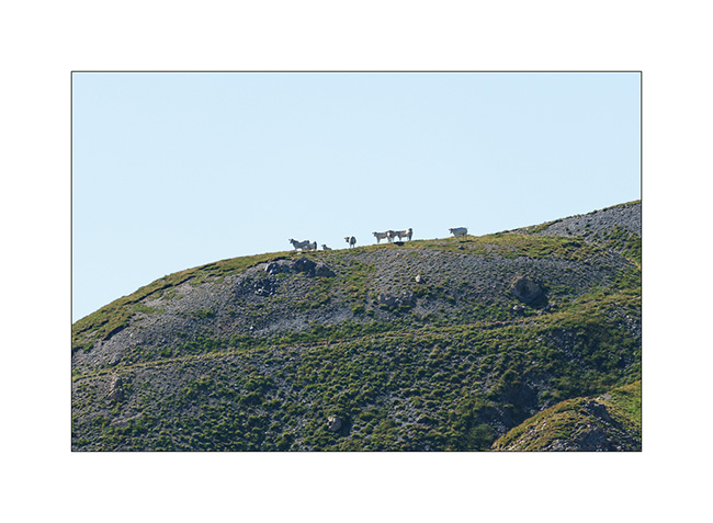
6. Sheepfold…
7. Quiet end of the day…
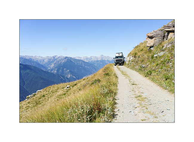
8. The next day, we go back to the Colle del Finestre that we discovered last year in order to access the Strada del Assietta which was closed during our previous visit. Souvenir at Colle del Assietta.
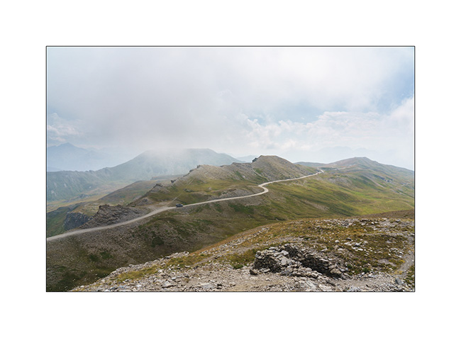
9. This old military road winds for about twenty miles between 6,000 and 7,500 feet above sea level, connecting Colle del Finestre to Sestriere. However, German tour operators specialized in 4×4 trips have almost transformed it into a motorway, rushing there every day in dozens of convoys of 10 to 15 vehicles each, to such a point that it is now closed on certain days of the week to preserve some peace for pedestrians and cyclists.
10. We take a secondary track to find us a nice boondocking place…
11. … on the ridge, above the Sauze d’Oulx.
12. Assietta trail from our camp.
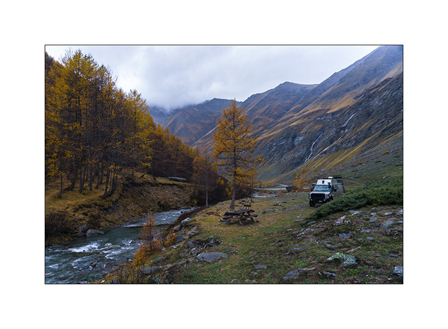
After filling the fridge in Sestriere, we go up the superb Valley Argentera which we had already enjoyed last year. We stay there for two days to enjoy its tranquility and its beautiful river, alone in its upper part which is difficult to access without 4WD.
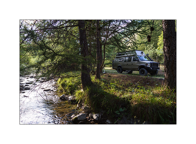
13. VivaLaVida’s camp along the river.
14. Emile enjoys a few lazy mornings… 😉
15. Lichens on a rock in the upper Argentera valley.
16. Emile is over the moon!
17. Upper Argentera valley.
Other of our discoveries in a few days… 😀
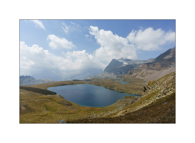
Hike to Colle del Nivolet.
After being dislodged by a guard from the Gran Paradiso National Park who didn’t want to let us sleep in the car park of the refuge, we went back up the next morning to discover the various high-altitude lakes that dot this magnificent valley..
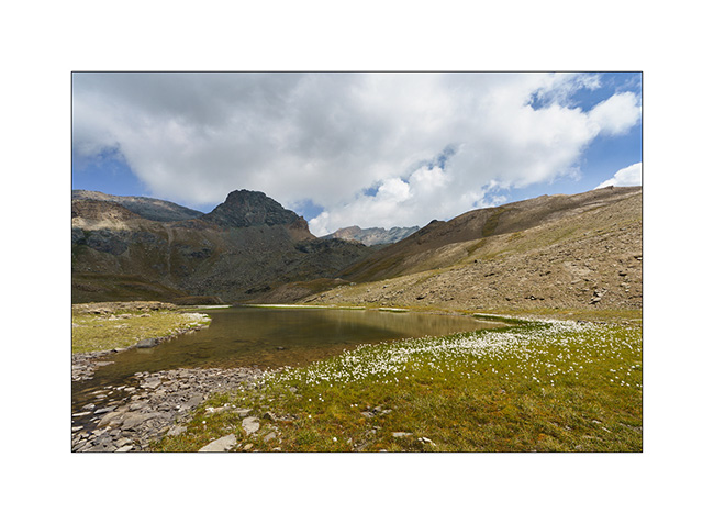
1. Departure for the lakes overlooking the Colle del Nivolet.
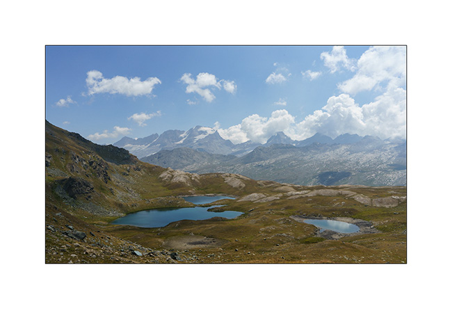
2. Here are the several first.
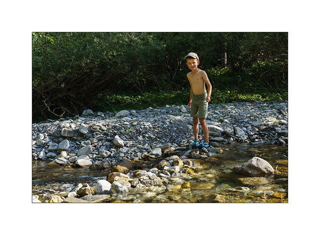
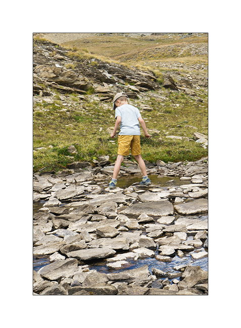
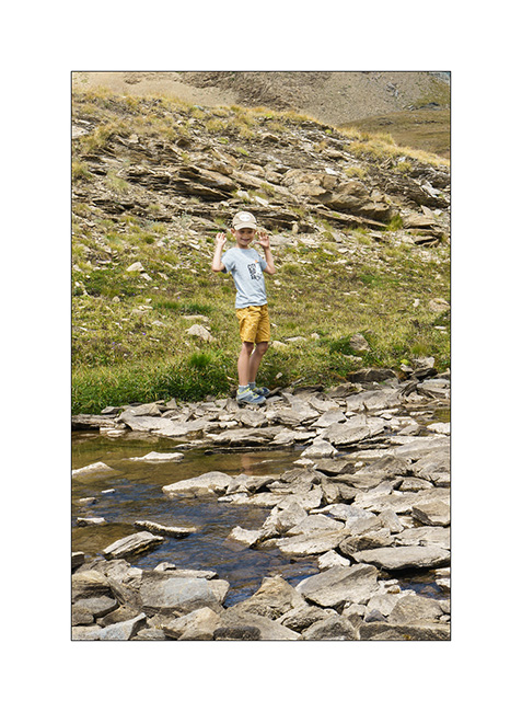
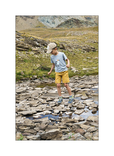
3. Emile has fun crossing a stream…
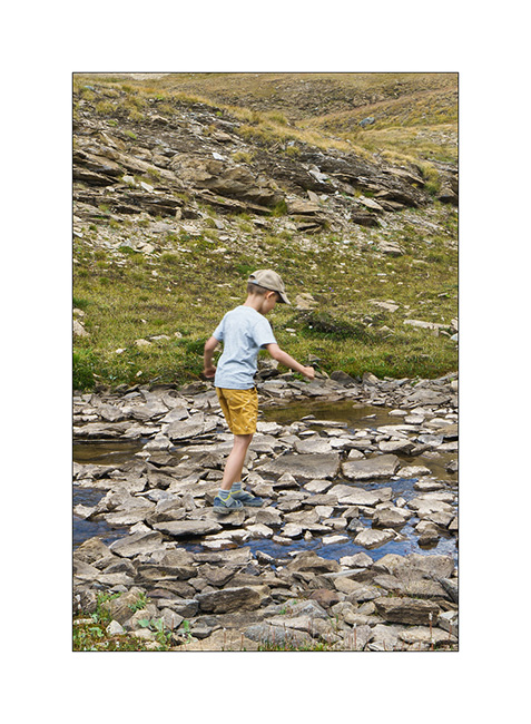
4. … from stone to stone.
5. …
6. …
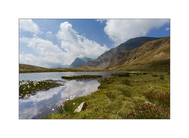
7. Altitude pond…
8. Another just below.
9. From the highest point of the day.
10. Emile in deep meditation! 🙂
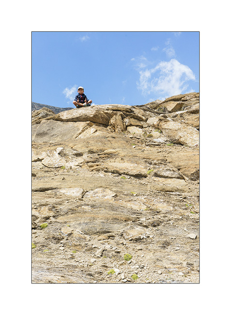
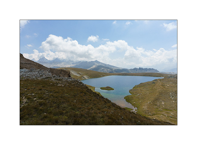
11. Not a bad view for a picnic!
12. In the distance, the Gran Paradiso.
13. Meanders and backlight…
14. During our descent…
Then we went to another place. We’ll tell you about it in the next report.
Finally again some vacation in VivaLaVida !
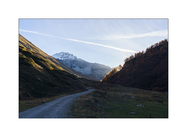
While VLV had been sleeping quietly since last November, it’s finally time to enjoy it again for a few weeks, starting with the discovery of new valleys or alpine ridges.
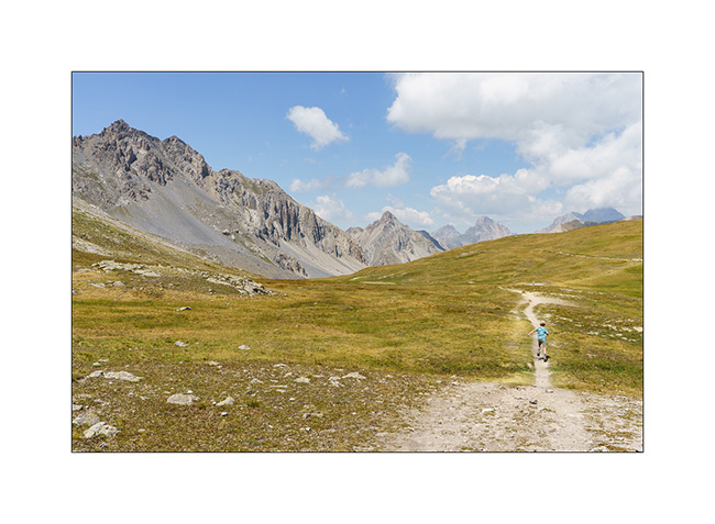
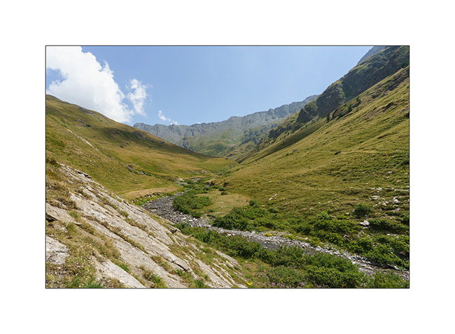
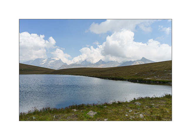
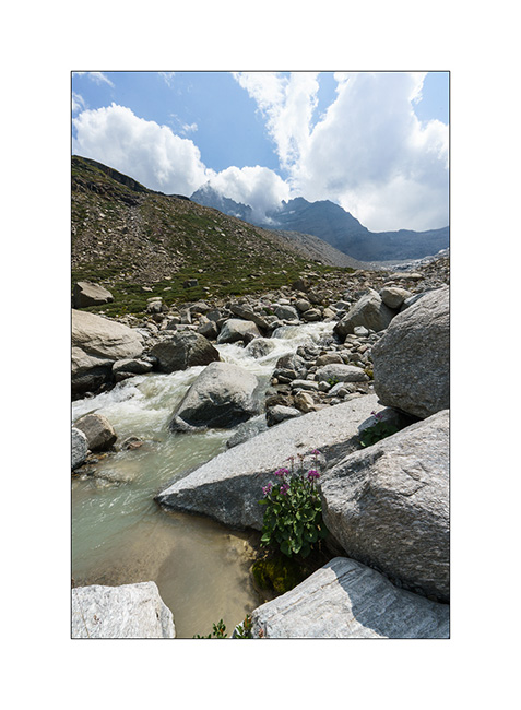
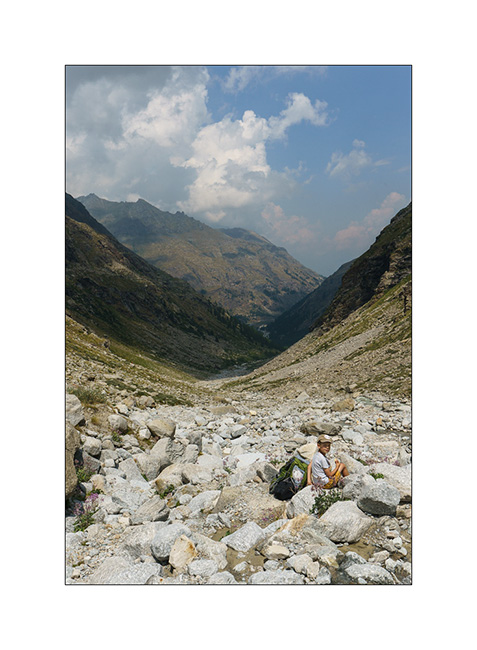
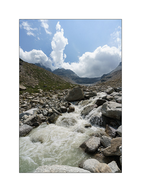
1. Long hike to the end of Val Savaranche, still very wild…
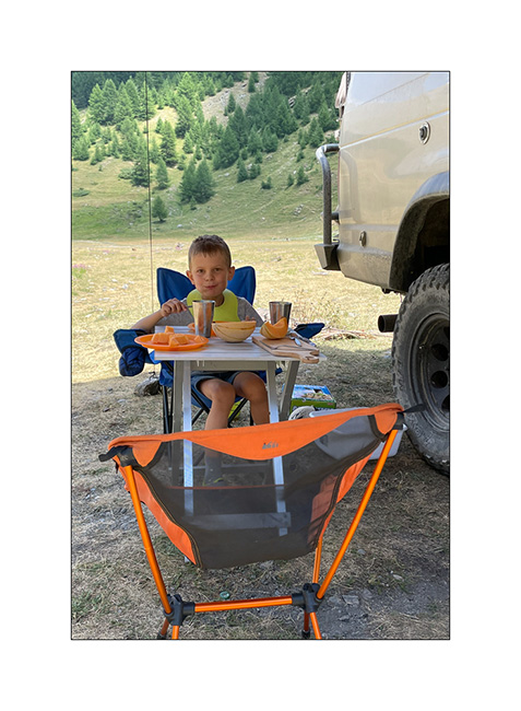
2. Little break for the kid!
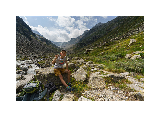
3. Picnic in the scree.
4. Just under the glacier which has almost completely melted.
5. From our camp.
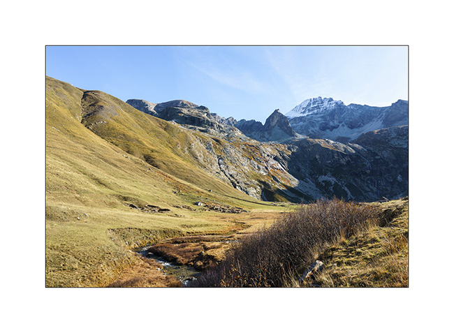
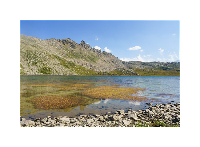
6. Nivolet valley looking towards Val Savaranche.
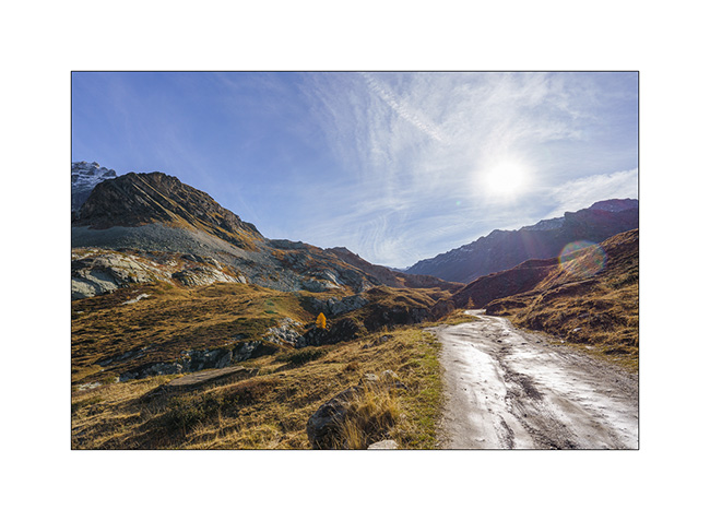
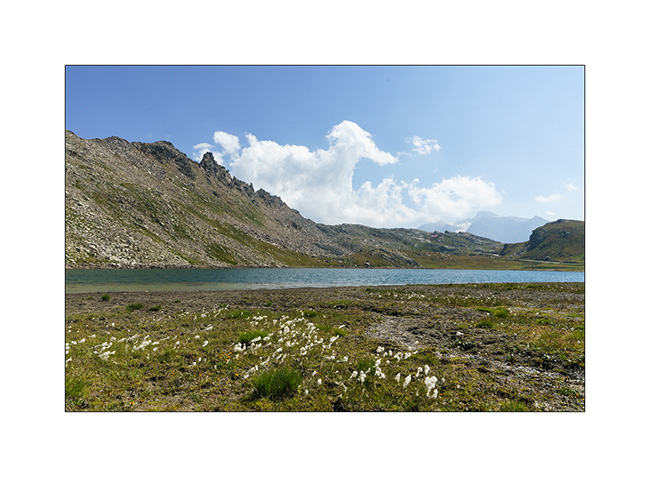
7. Close to Colle del Nivolet.
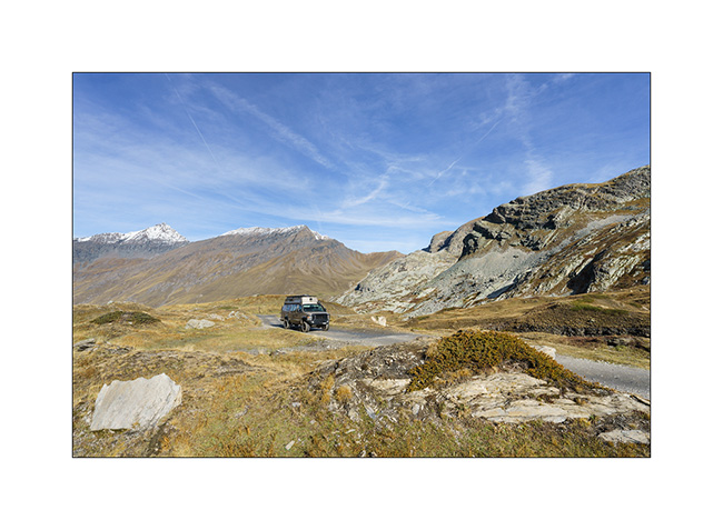
8. Colle del Nivolet (1)
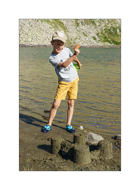
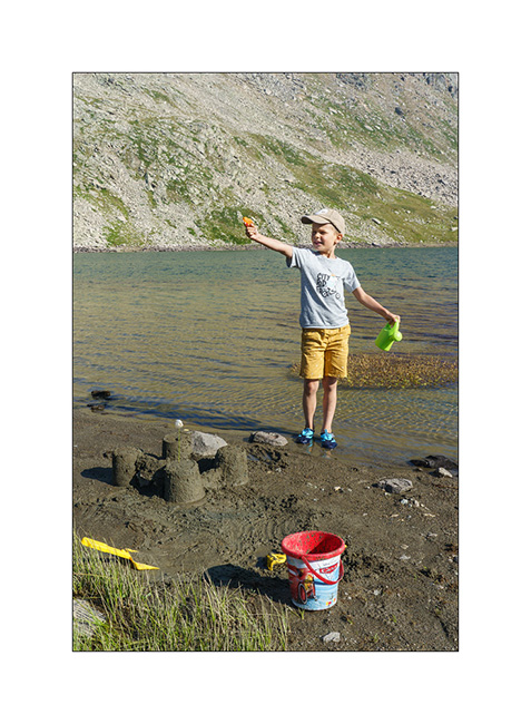
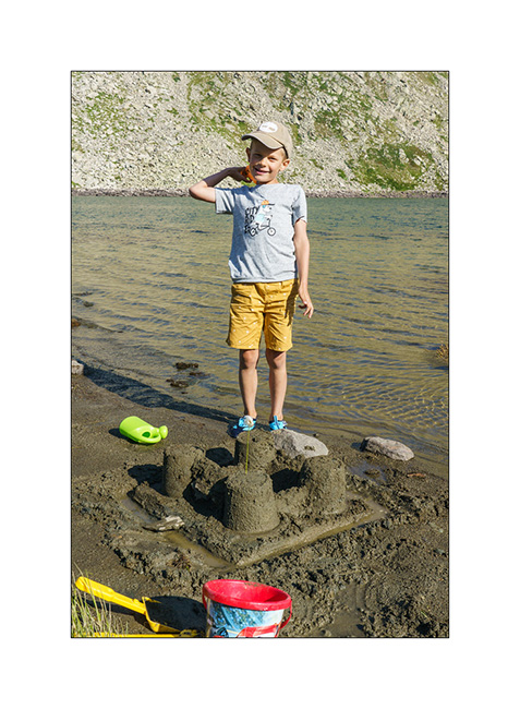
9. Sand games…
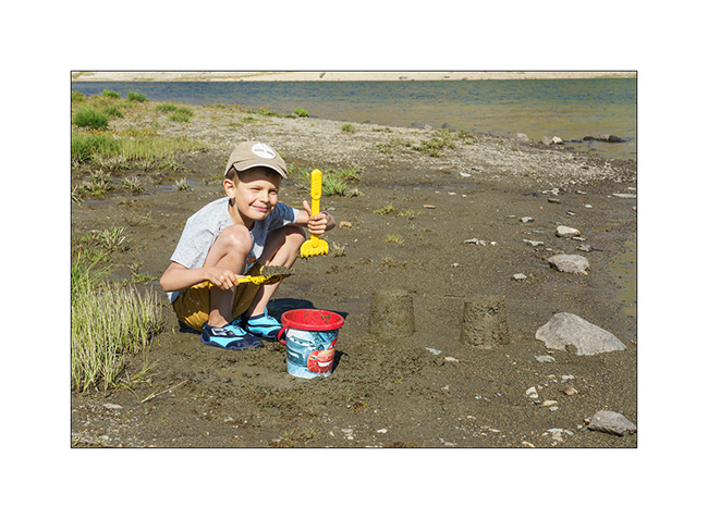
10. Proud of his castle!
11. Despite the more than 2,400 m altitude, the temperature is pleasant.
12. …
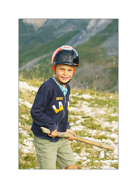
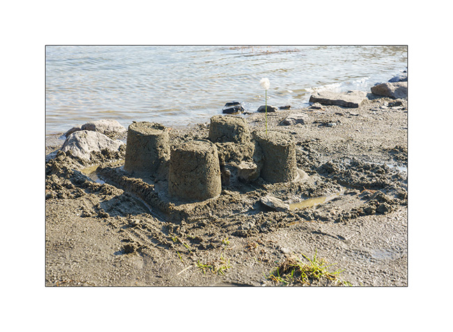
13. The work of the day!
14. Colle del Nivolet (2)
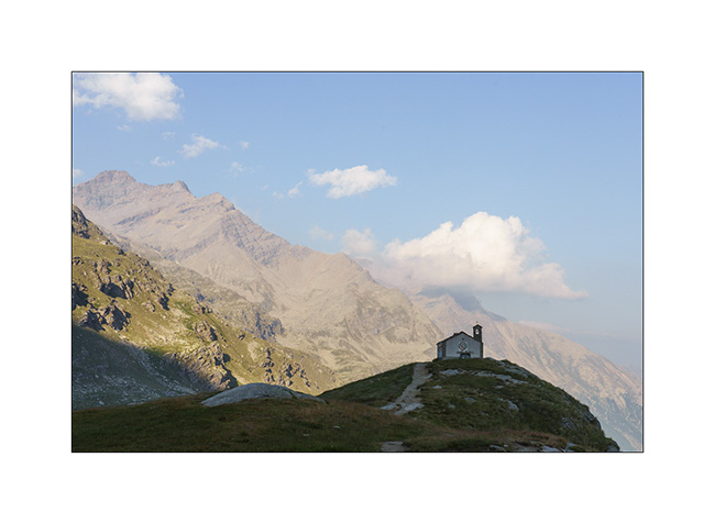
15. Chapel…
Next in a few days… 😉
 D5 Creation