river
now browsing by tag
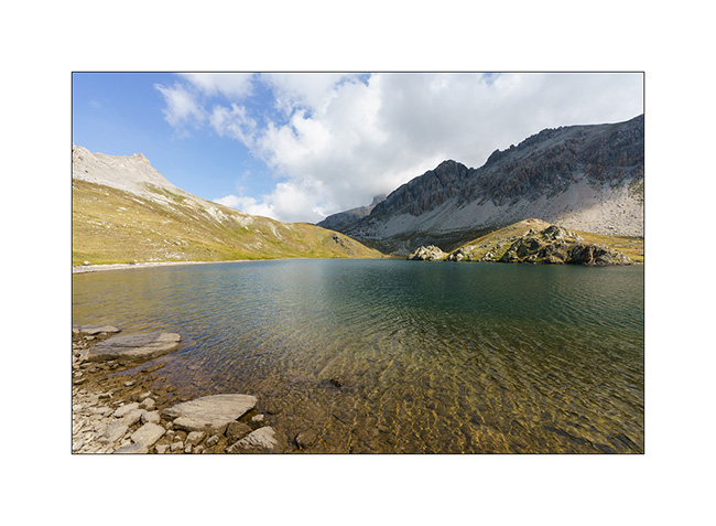
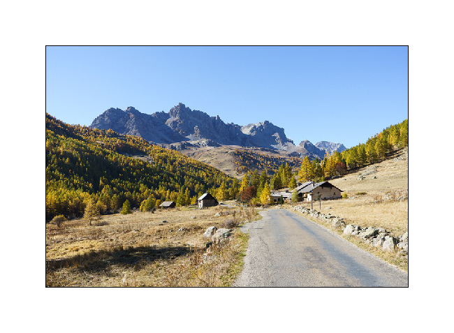
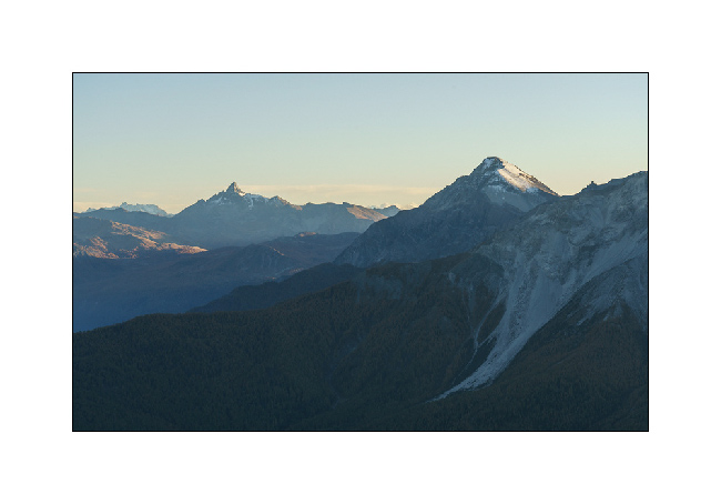
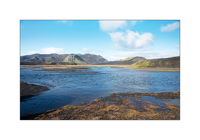
Lakes in Ubaye
We leave this beautiful place to discover others…
1. Going down from Colle Fauniera.
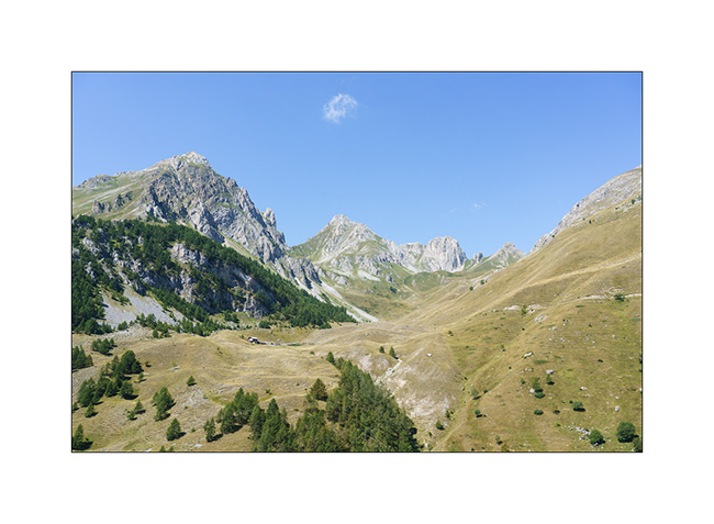
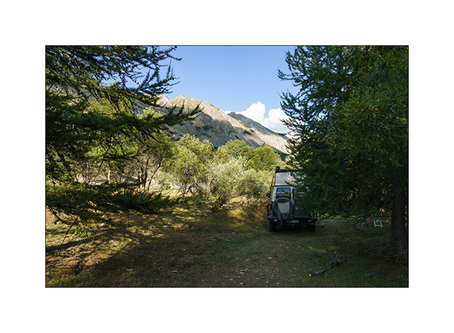
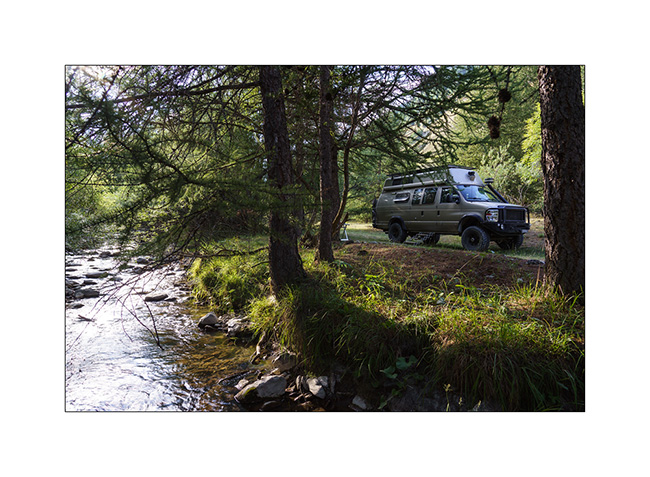
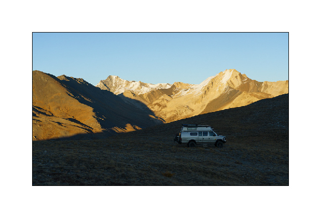
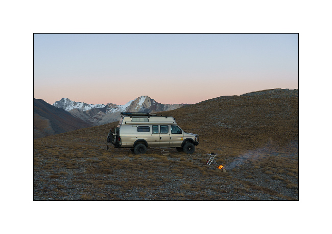
2. We find a boondocking place on the edge of a pretty river, very close to the French border from where we will hike tomorrow.
3. …
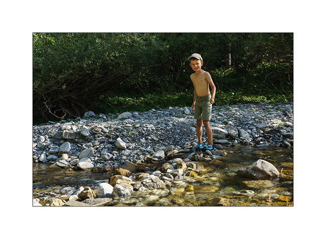
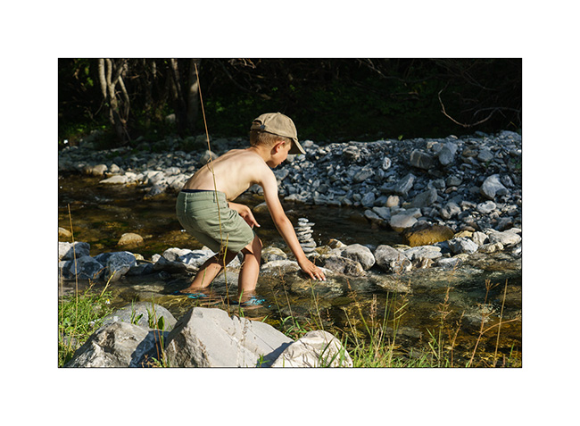
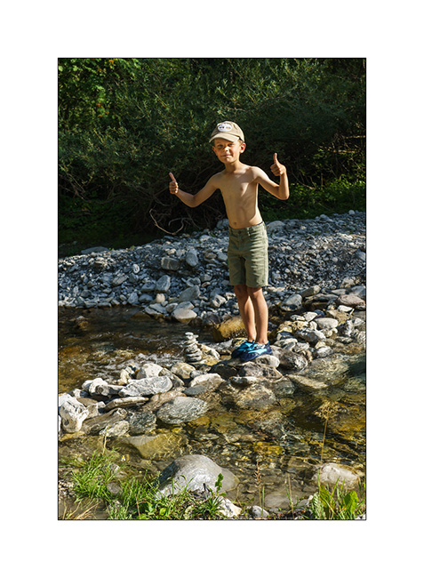
4. And we build a dam on the river!
5. …
6. …
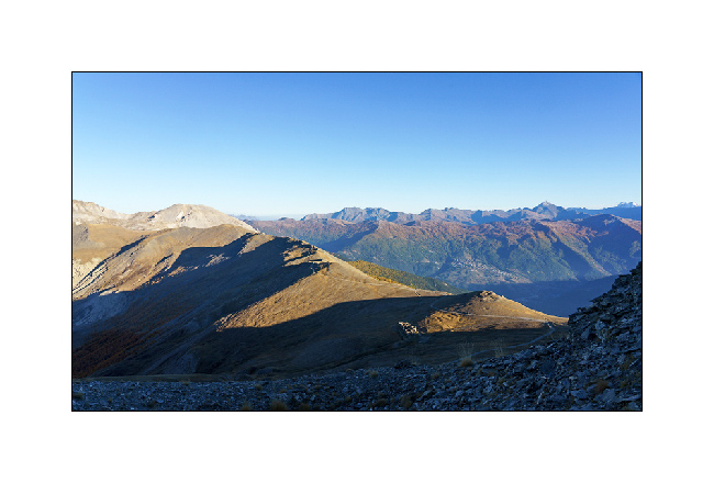
7. Leaving VivaLaVida early the next day for a nice mountain hike to discover several lakes.
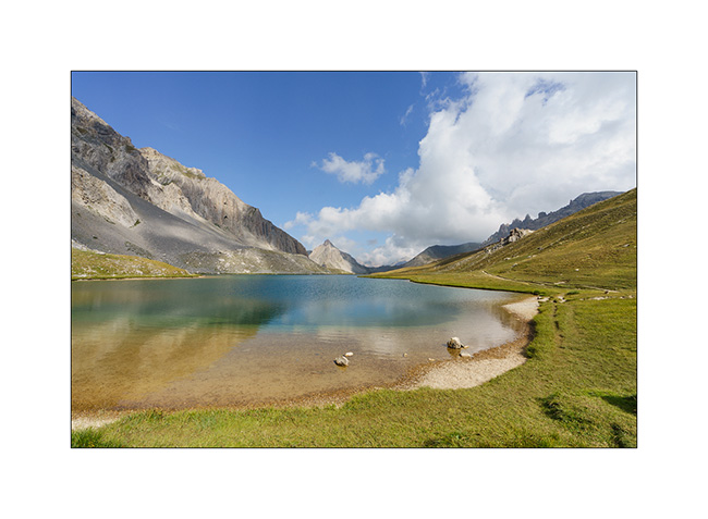
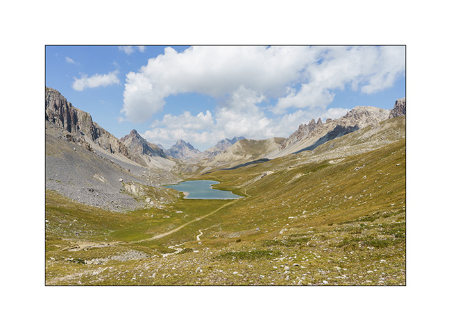
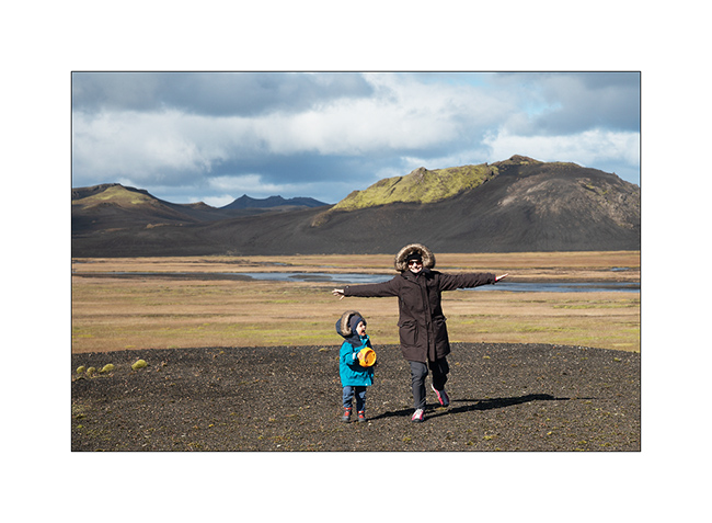
8. The goal of our day: the Lake of Roburent which I wanted to discover for a long time.
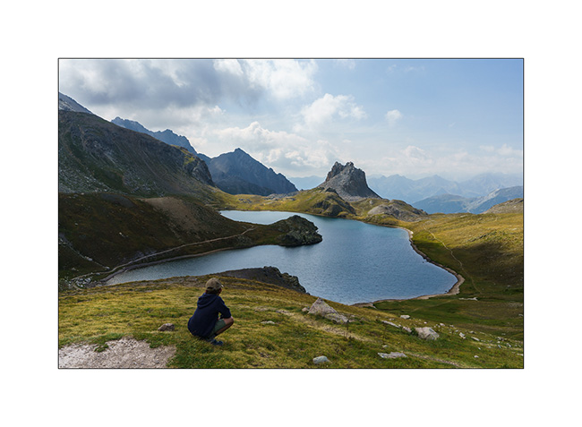
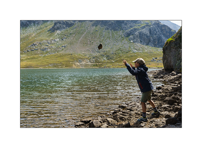
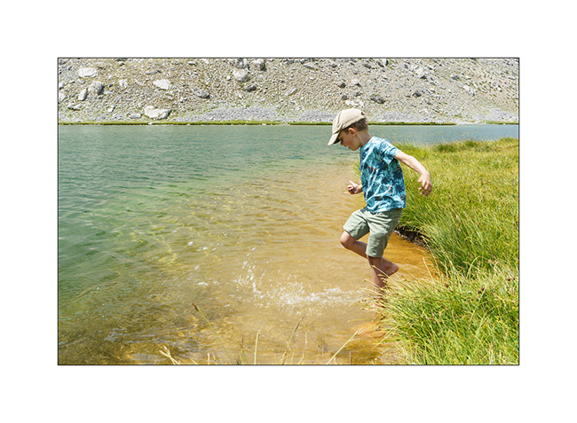
9. That’s where we picnic…
10. .. and Emile plays for a while.
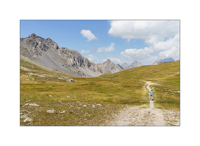
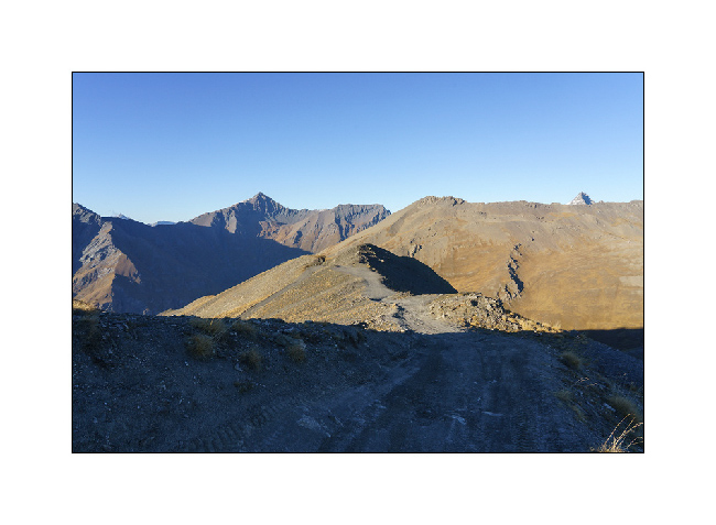
11. We start the way back with a climb to the Col de Roburent.
12. Emile frolics like a goat!
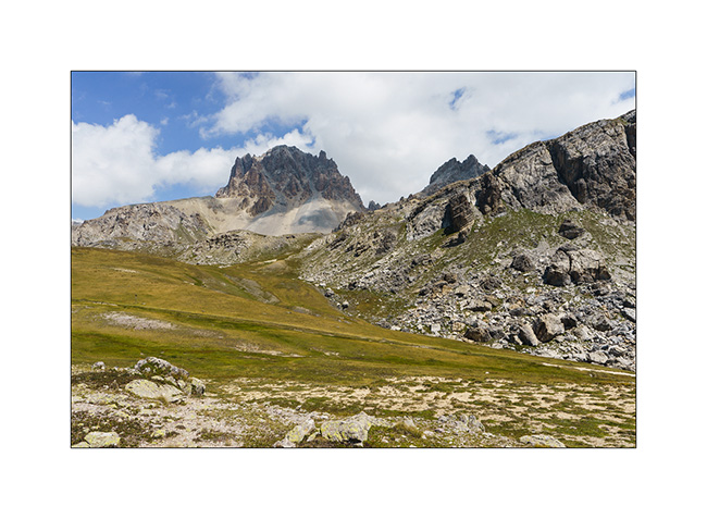
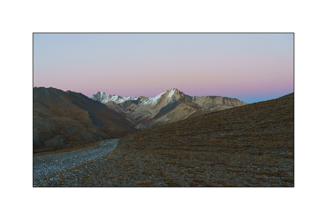
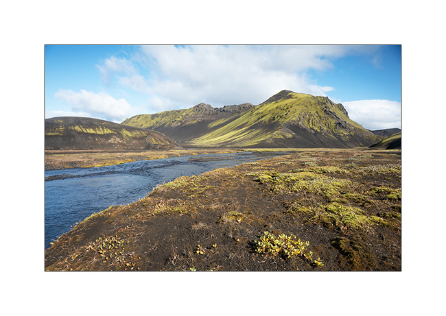
13. The valley we descend with the Lake of Orrenaye.
14. We stop there to refresh ourselves before returning to camp at the same place as yesterday…
Continuation and end of our three week trip shortly. 😉
Fall holidays (3)
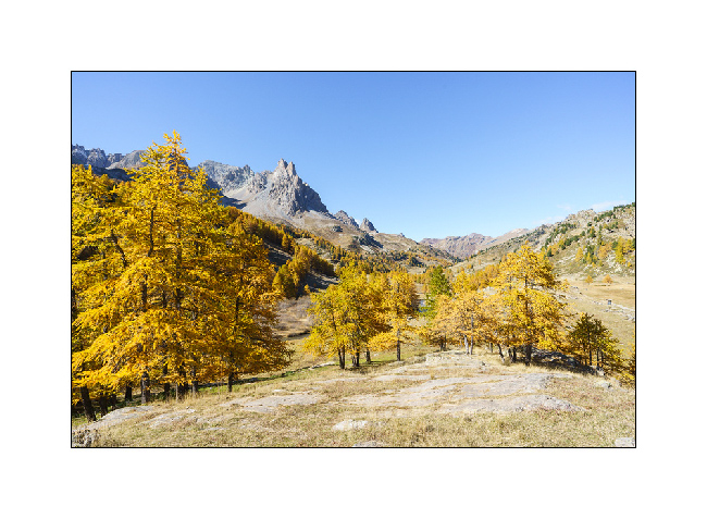
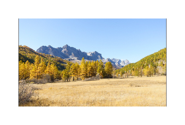
1. This high valley of the Clarée is just magnificent at this season!
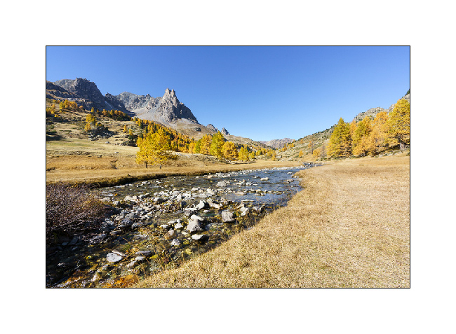
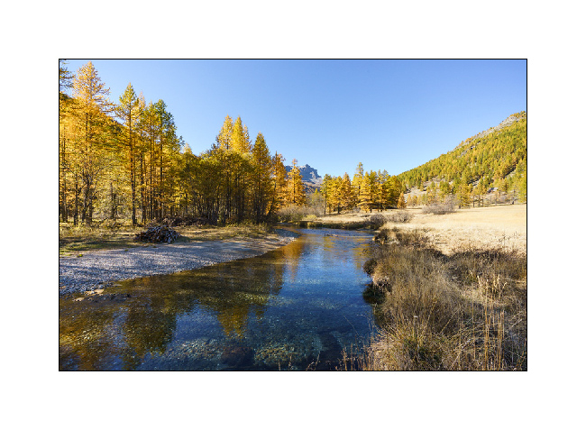
2. Back from our hike to Long Lake, we still walk along the river.
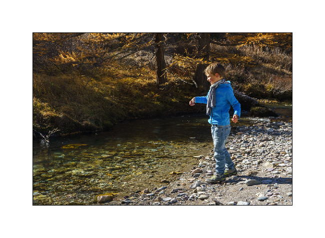
3. Emile takes the opportunity to play one of his favorite hobbies:
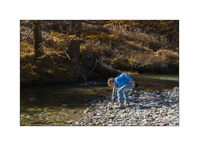
4. … throw stones in the water!
5. I enjoy the superb views over the valley.
6. What a beautiful alpine river!
7. Last look on the way back down to Bardonecchia.
8. Back in Italy, we take a trail to Fort Jafferau, a former Italian fort built at the top of Mount Jafferau, at 9,150 feet elevation.
9. While the west slope climb is steep and requires the use of short gears for several miles, a pipe from VLV’s cooling system cracks, forcing me to stop for two hours to make a makeshift repair. But we still get to the top at the end of the day.
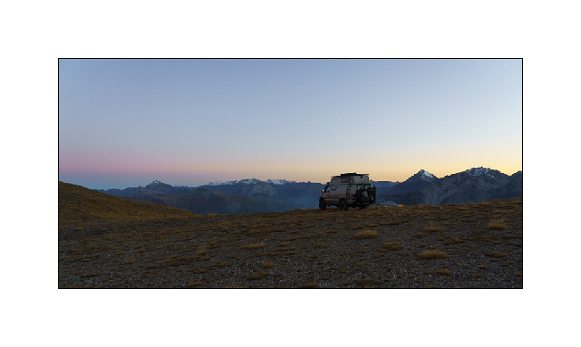
10. As the wind is still blowing strong, we descend a few miles on the other side for the night.
11. The end of the day offers beautiful views.
12. The sun has already set when I light the fire. A red fox comes and watch us from just a few feets away while I cook on the campfire.
13. Dusk…
14. … before a night lulled by the wind.
that’s it for today. I have one last article to be published soon, which will close this 2021 season in VivaLaVida. 🙂
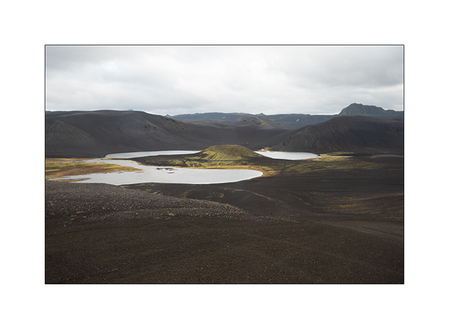
Path less traveled…
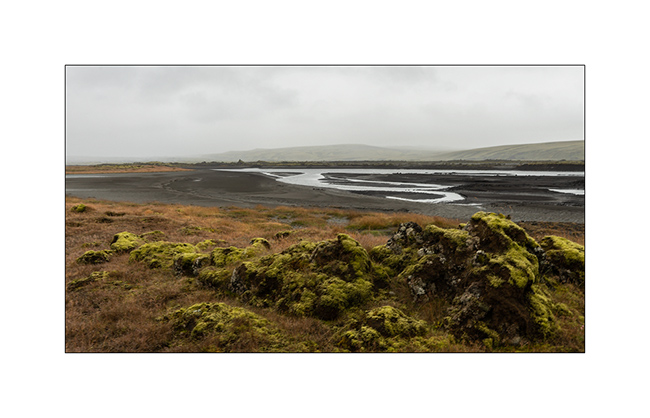
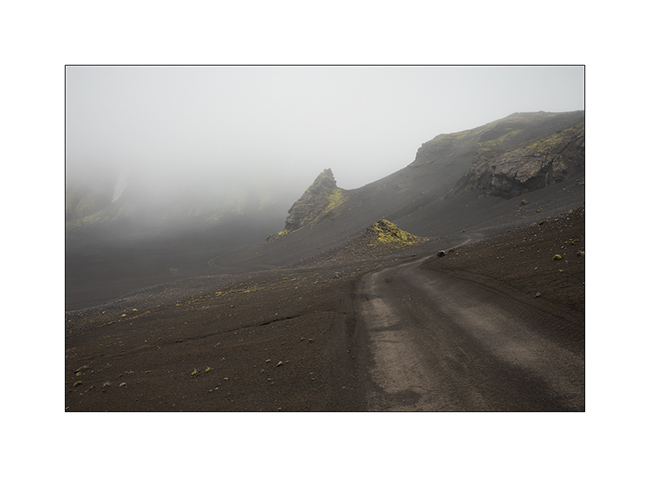
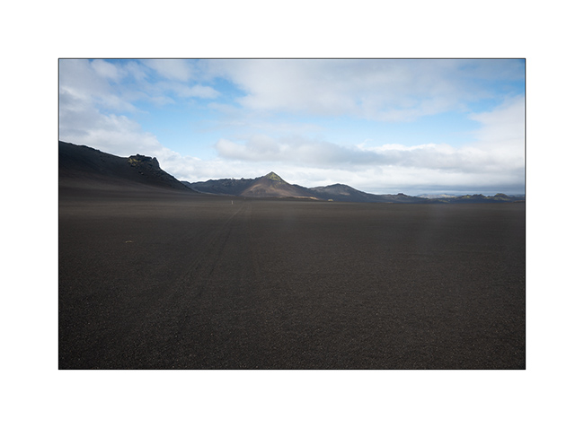
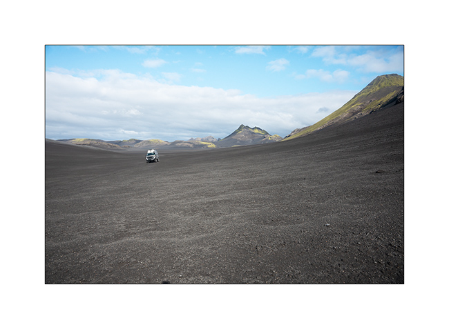
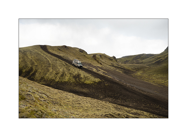
After the Lakagigar, rather than go directly to the Landmannalaugar on F208, we decided to go to Langisjór Lake via some less traveled trails that proved to be gorgeous…
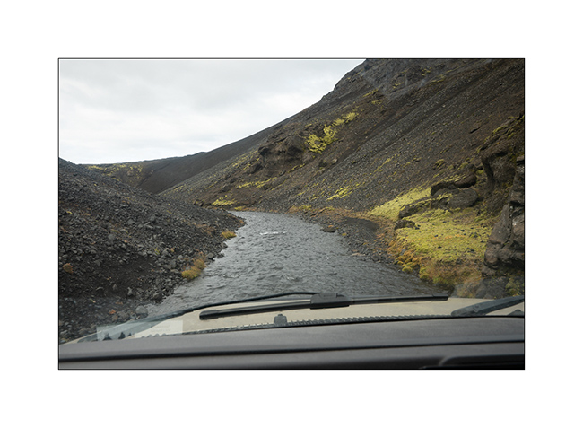
1. River in the rain, along Southern F208.
2. Rather curious sign, isn’t it? In fact, the trail goes into the lake on approx. 300 yards.
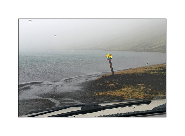
Here is a video of this unusual path done by Isabelle. The weather was windy, with rain and fog…
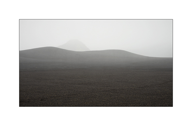
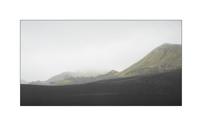
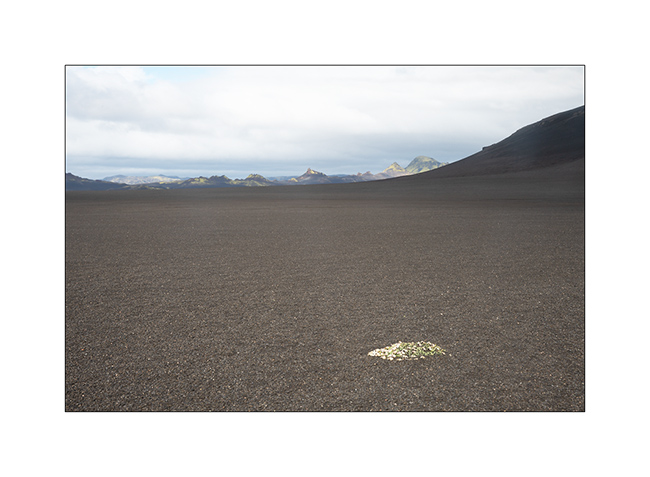
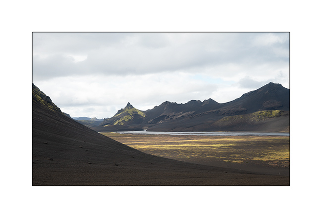
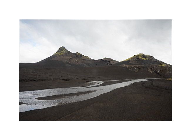
3. In places, everything is only mineral.
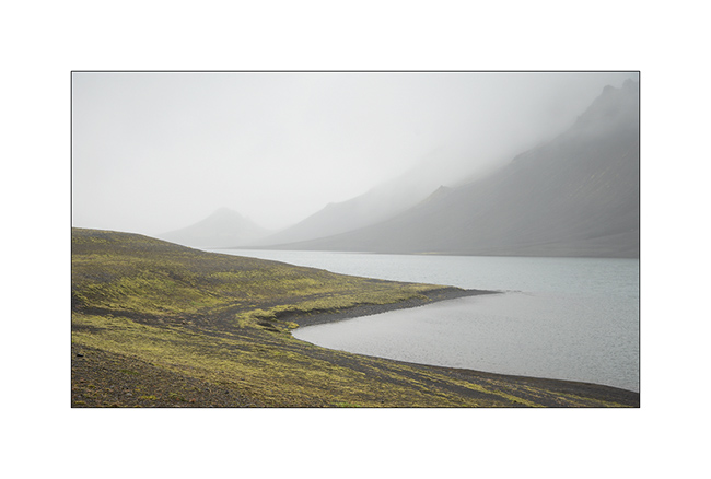
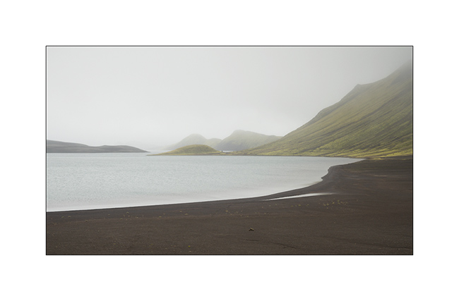
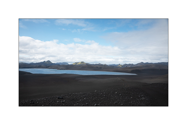
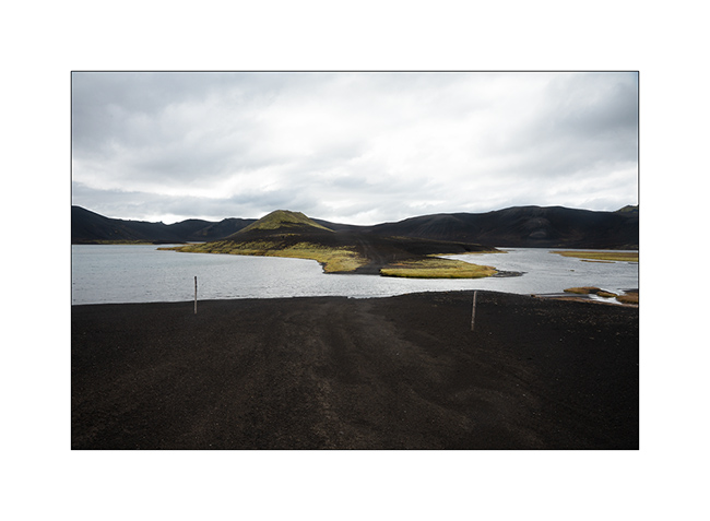
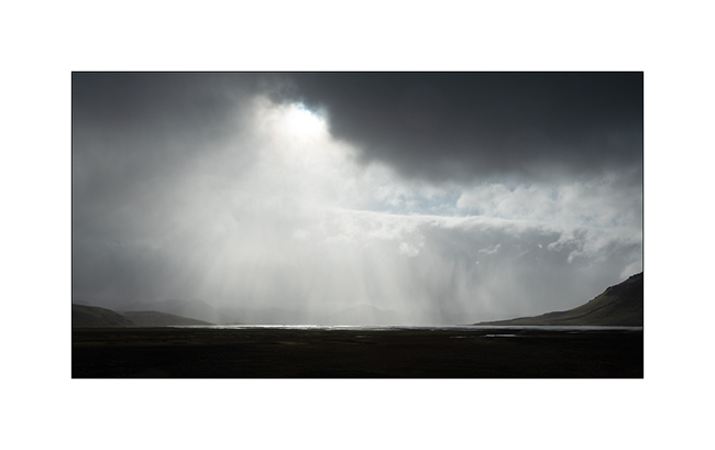
4. Langisjór lake in the rain.
5. Trail…
6. …
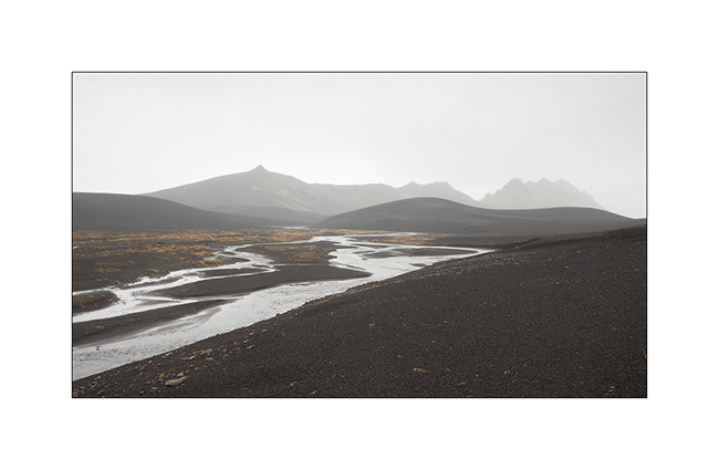
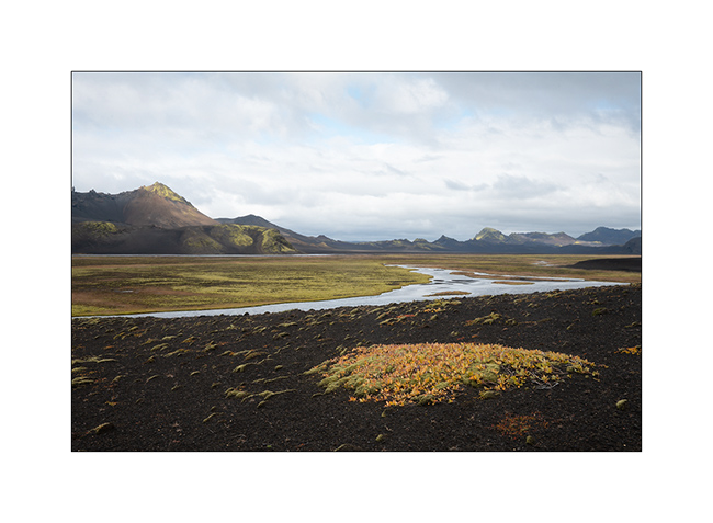
7. River…
8. Fog…
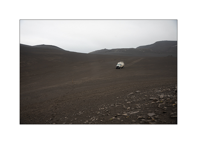
9. VivaLaVida riding the moon.
10. The rain finally stops.
11. Invisible track. Thank you GPS.
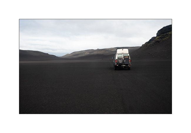
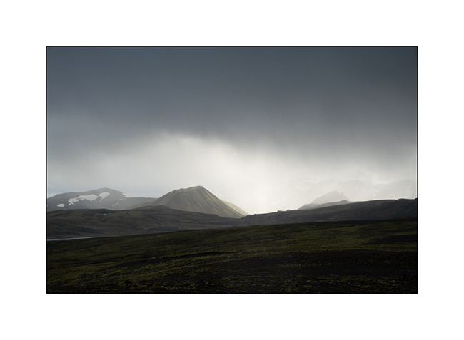
12. Desolation…
13. … and blackness.
14. But these landscapes are amazing.
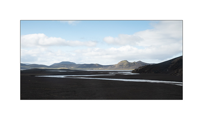
15. The trail crosses another lake.
16. Contrasts are everywhere.
17. Our trail seen from the top of a hill.
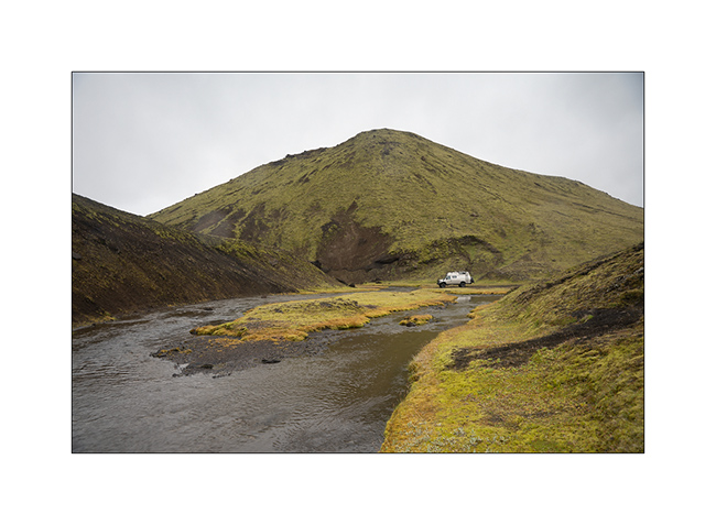
18. After driving in a lake, here we follow the riverbed for nearly one mile to change the valley! 😉
19. …
20. Fairy…
21. …
22. Another ford.
23. … and another.
24. We walk and play too!
25. Selfie 😉
26. Emile loves it.
27. Late afternoon contrasts.
28. …
29. In places, this track less traveled requires a good 4WD transmission, as here in a steep descent.
Here is another short video showing this trail. In video background, we can see the continuation of the track over the river, which goes up in the hills.
30. Rain showers are back.
31. …
32. …
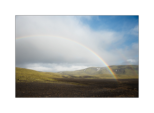
33. Another particularly saturated rainbow.
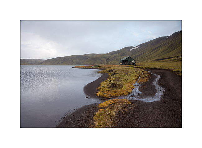
34. We spend the night on the shore of a lake, near a shelter already closed for winter…
Hoping that this update won’t have been too long… 😉
To be followed in Landmannalaugar soon.
Way back from Florida (add)
In my last post, I forgot to show you pictures of Phenix, a small town in Alabama that was built along a river right next to the only rapids around. The river “falls” of about 25 feets on three or four hundred yards. This enabled the construction of mills, particularly those used by the cotton industry, a major in the region. Today rehabilitated as homes and offices, the area looks really friendly. Here are some pictures of this beautiful little town.
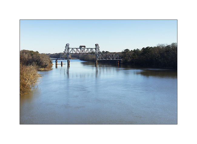
1. Disused drawbridge, downstream of the city
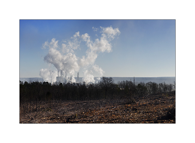
2. Trees of the surrounding forests is here transformed into paper and cardboard.
3. Arrival at Phenix, view of the river. The Indians believed that a monster once lived in these rapids and removed some canoe or raft trying to cross it…
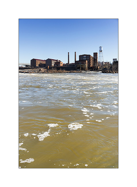
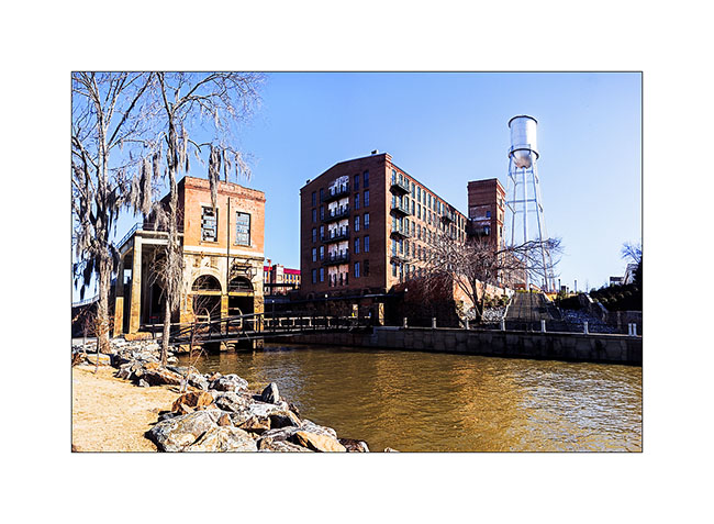
4. The neighborhood of old mills…
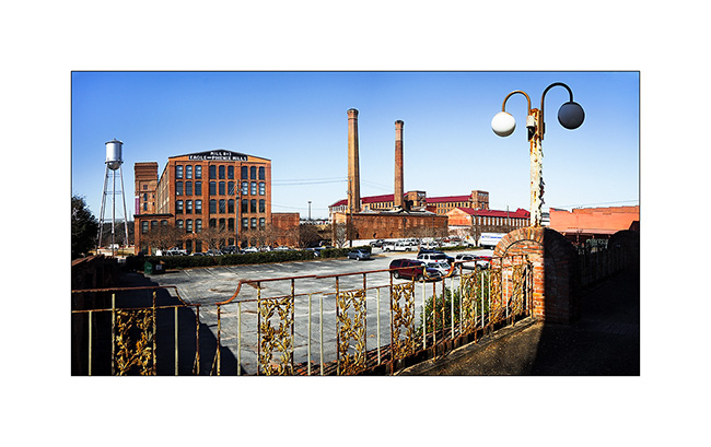
5. Reconverted industrial buildings…
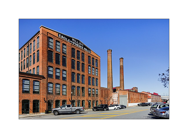
6. To the left, the building that contains the Pressure pipes and turbines, now out of use. (panoramic of de 3 vertical images)
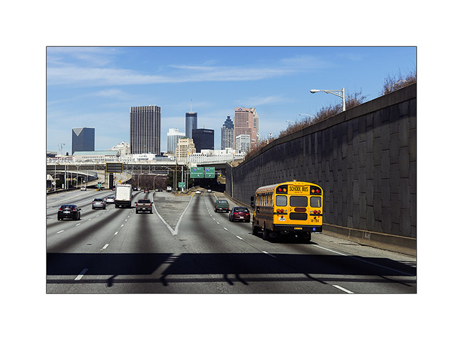
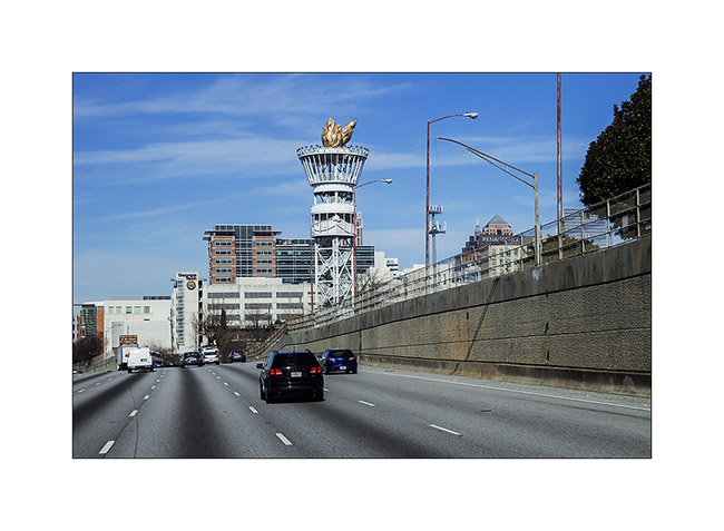
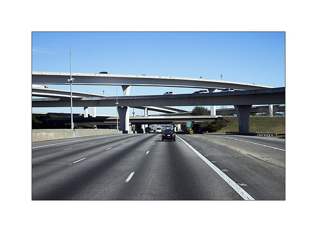
Here are also three pictures taken when going through Atlanta…
7. Downtown
8. Remains of the Atlanta Olympics…
9. A five floors highway junction..!
That’s it for this supplement…Enjoy the weekend! 😀
 D5 Creation