crater
now browsing by tag
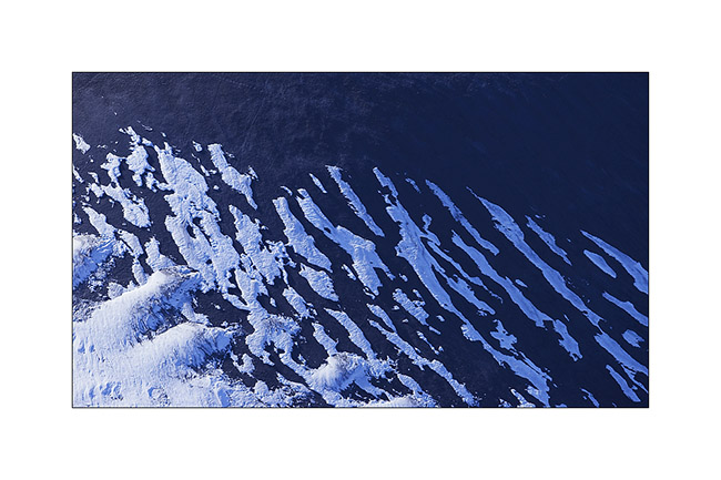
Lakagigar – F206 / F207
Here we are to discover the Lakagigar region, driving our first “F Roads”, trails reserved for 4×4 because of deep fords and “in principles”
prohibited to rental vehicles. In principle because we saw many “unauthorized” rental SUV on these tracks.
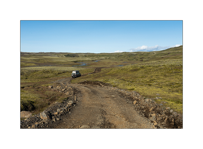
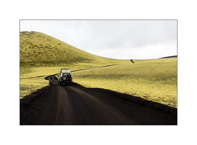
1. F206
2. As in the Faroe Islands, sheep live in freedom everywhere.

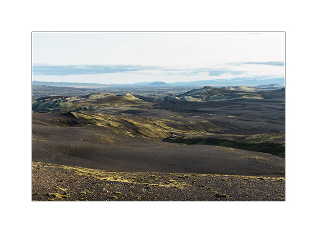
3. VivaLaVida crosses completely mineral landscapes.

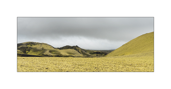
4. Here is the Lakagigar range, volcanoes that appeared only a few decades ago.

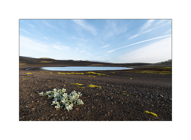
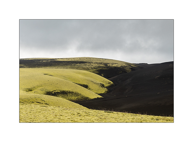
5. Small lake stuck between mountain and lava flow.

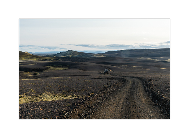
6. The F206 was created in the lava.
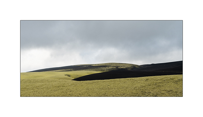
7. Only mosses and lichens manage to develop on volcanic slags.
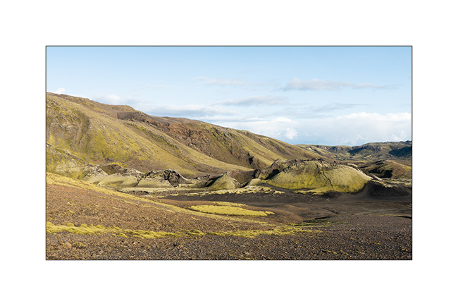
8. The summits, more exposed, are often virgin of vegetation.
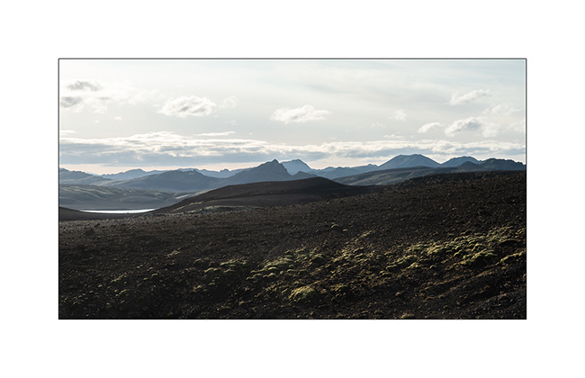
9. Enjoying the panorama in late afternoon.
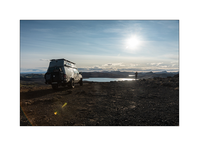
10. And what a panorama!
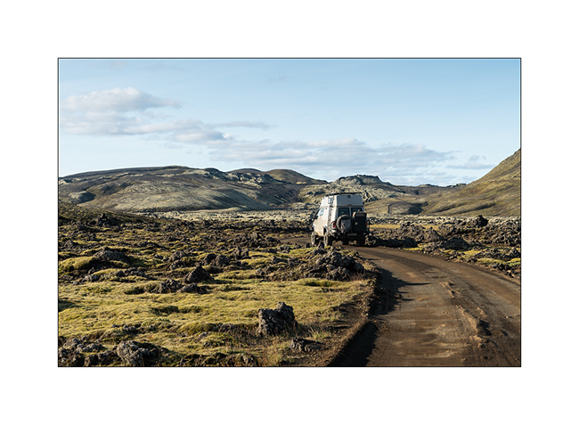
11. F207
12. We boondocked on the shore of a small lake.

13. Sweetness of the evening light.
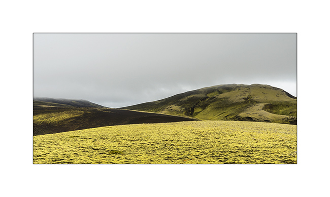
14. The next day, despite the light of a gray sky, the contrasts are amazing. The moss looks almost fluorescent.
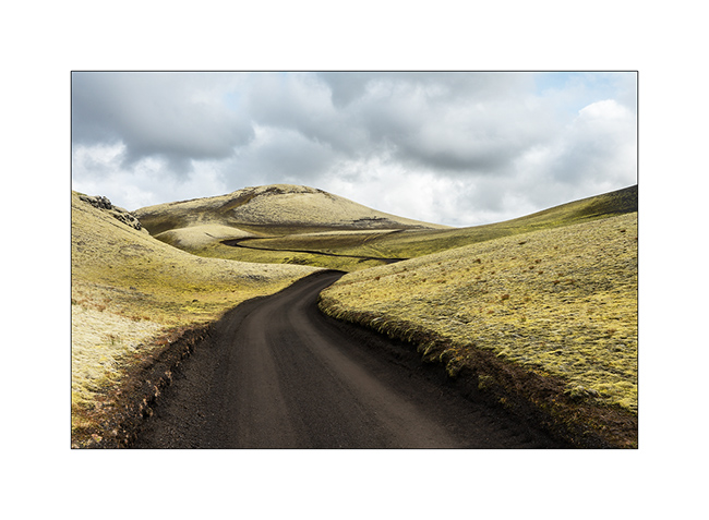
15. …
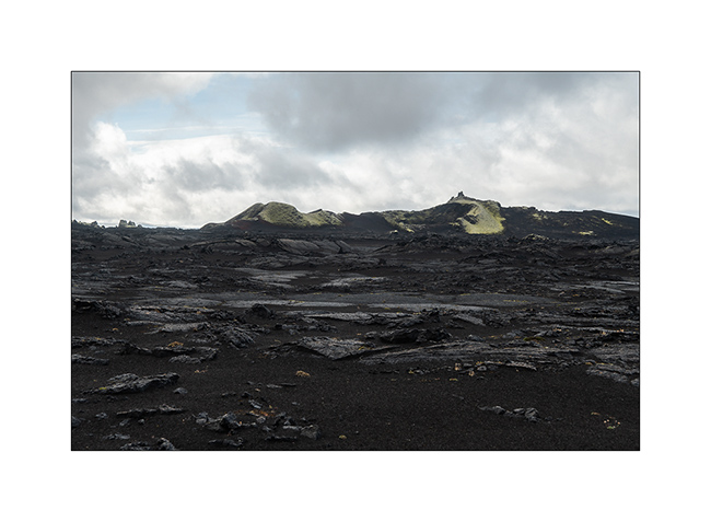
16. …
17. Laki volcano.
18. … and one of the new craters around.
19. The F207 winds between the hills.

20. Raw lava.
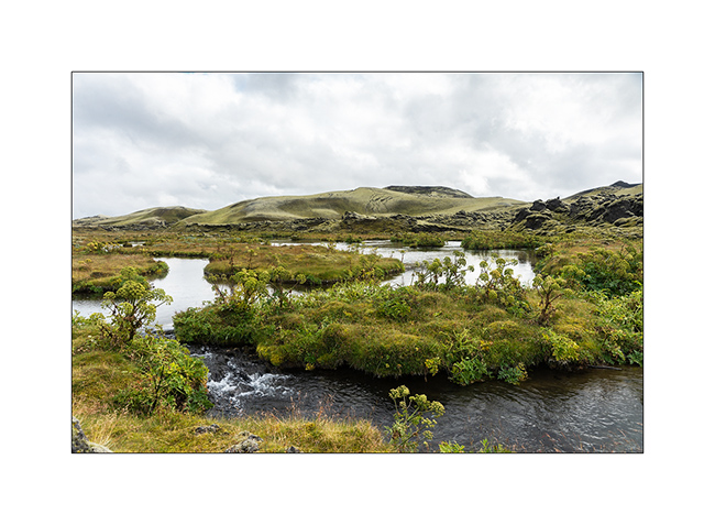
21. Ground is very dark.

22. The trail is sometimes not very marked.

23. Looking to North West towards Landmannalaugar.

24. …

25. Crossing a river with water temperated by some hot springs, the vegetation changes.
I posted a short video of a F207 ford here for those interested. 😉
26. The Fragifoss waterfall along the F206.

27. Last sight of these pretty volcanic hills.
To be followred on the side of the famous Landmannalaugar, probably the most visited interior site in Iceland.
Behind the Sierras…
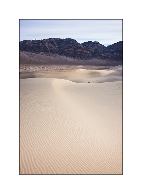
1. Sunrise over Eureka Dunes.
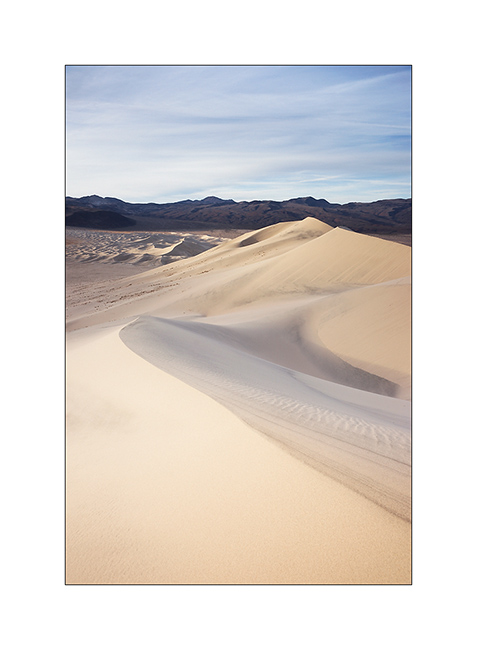
2. Contrasts between dark cliffs and clear dunes…
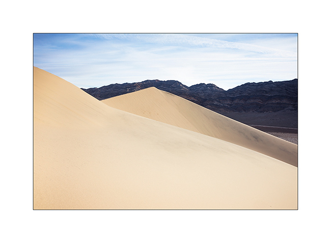
3. … and between the softness of the sand and the harshness of the rock.
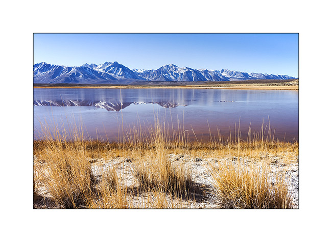
I then went to explore volcanic craters near Mono Lake, the few snow this year allowing to access it easier than usually in this season.
4. On the road, I spent a night near Hot Creek, a river warmed by hot springs.

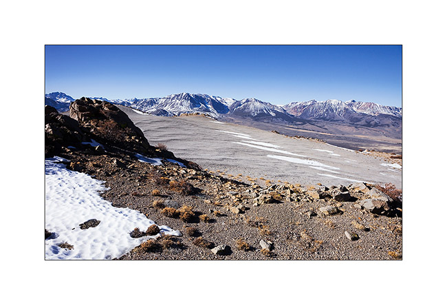
5. I’m over 6,000 feet elevation and there is no snow…

6. It’s cold at night however, 10F that night – and lakes freeze…
7. Boondocking behind Crater Mountain, at 7,900 feet elevation.
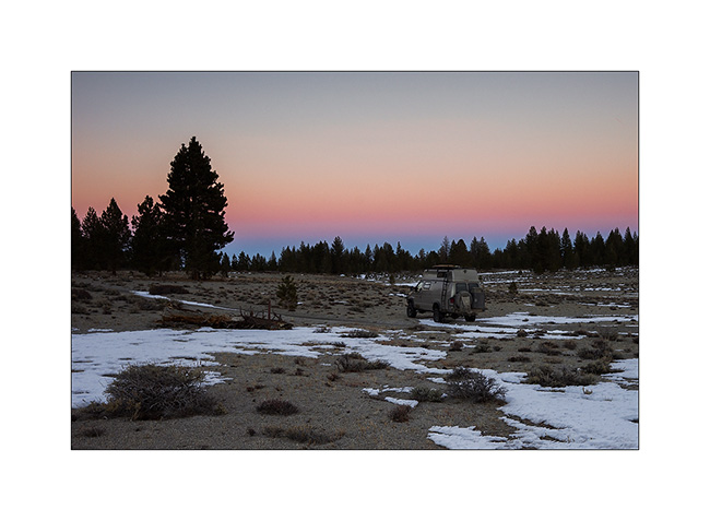
8. Mounted in steep scree of porous and rather light volcanic stones. Worse than the sand: making three steps up, you descend two! 😀
9. at about 8,500 feet, I see Mono Lake in the distance.
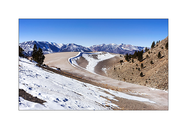
10. The north slopes keep some patches of snow.
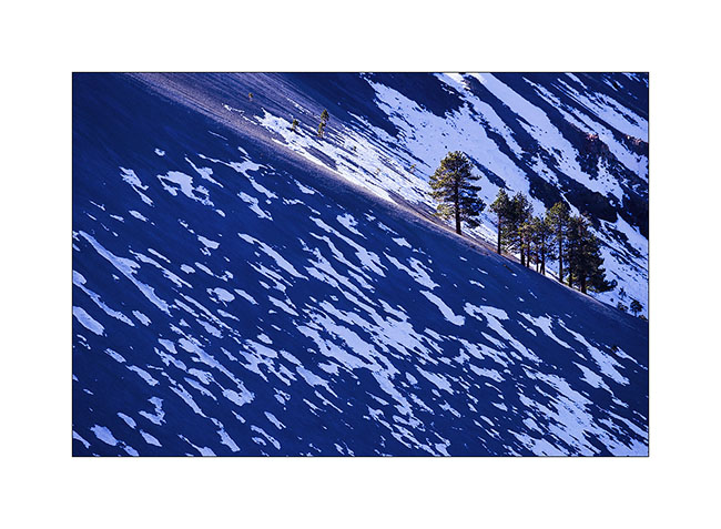
11. Patchwork…
12. Sierra Nevada is close toward West.
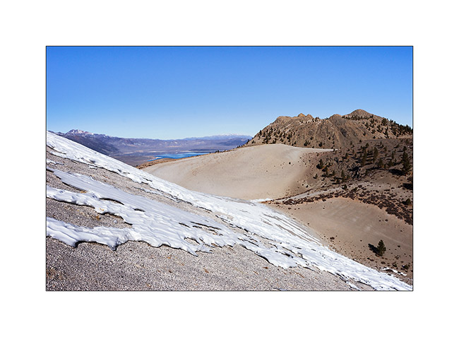
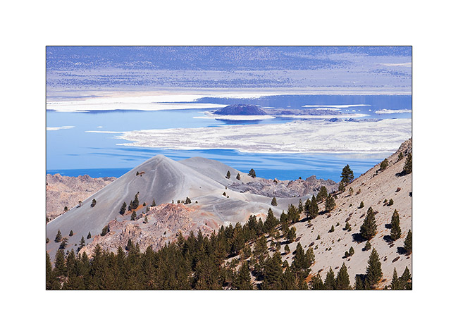
13. Scoria cone in front of Mono Lake.
14. Remnant cornice under the summit slope.
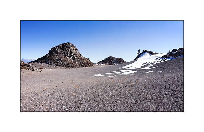
15. Arrival on the main crater or what remains.
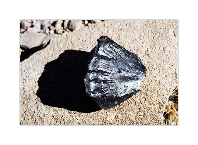
16. There were many of such black stones that looked like vitrified coal, rather light for their size with smooth and shiny texture.
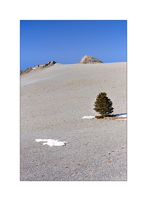
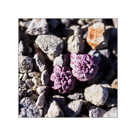
17. One of the only plants that manage to grow in this hostile environment. Tiny but pretty…
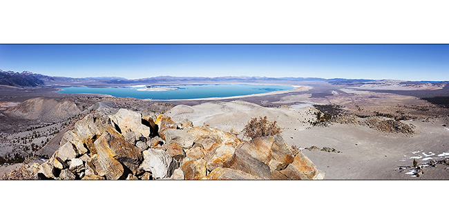
18. View of the crater from the highest point at 9,400 feet elevation.
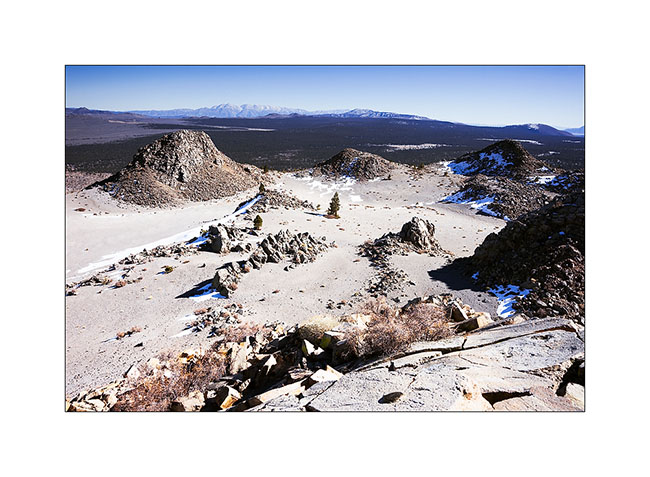
19. The panoramic view of emerald color Mono Lake is impressive!
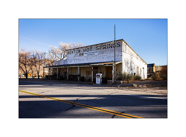
20. Going down on the way to some hot springs, VivaLaVida went through Benton Hot Springs, a historic place of passage.
After soaking in hot water two hours under the stars (what a joy!), I took a one day break to make an oïl change to VivaLaVida. Andrew (the guy with whom I had discovered the Baja California early last year) is being announced, I should meet him in the coming days to discover some new corners with Baja-Shacker.
To discover soon in a future update… 😀
 D5 Creation