October, 2018
now browsing by month
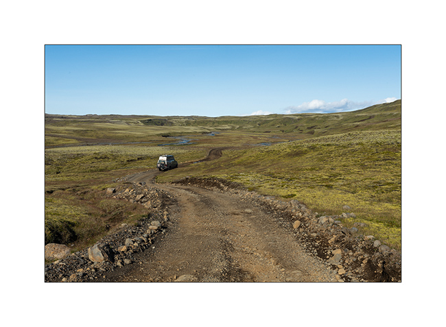
Highlands II, Askja, Viti – F910 / F88
1. The night was cool, 24°F to the thermometer of VivaLaVida.
2. The Vatnajökull ice cap is really close.
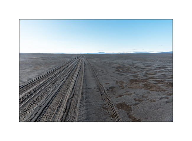
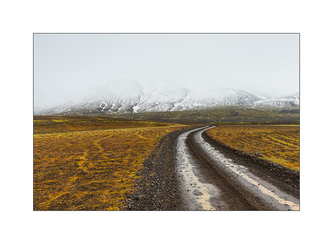
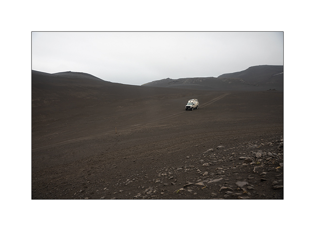
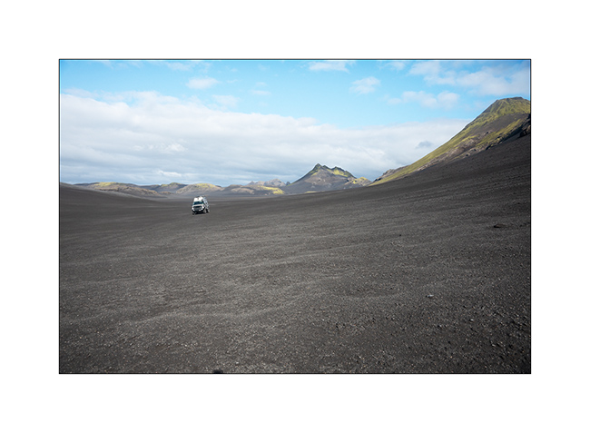
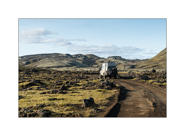
3. At the beginning of the day, as at the end of the previous one, the track was really chaotic through lava fields and screes. VLV did not drive faster than the average of 2 mph to take care of her occupants well shaken!
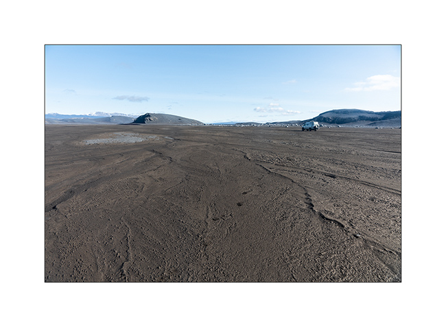
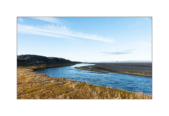
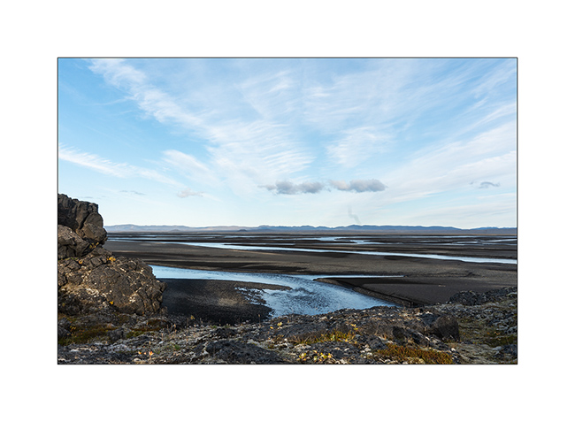
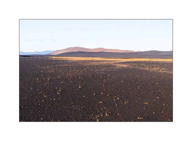
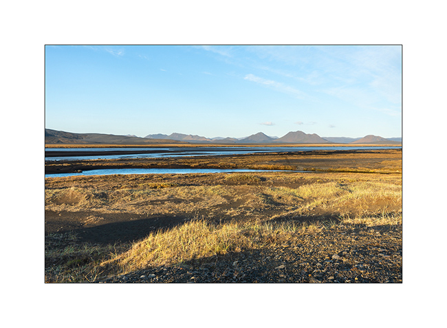
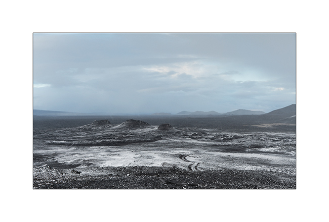
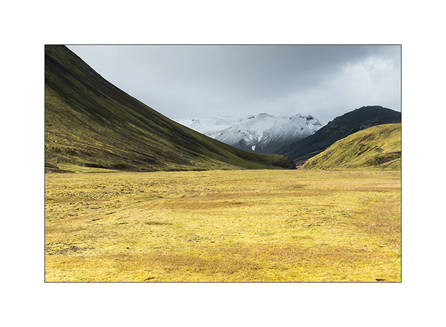
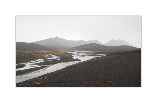
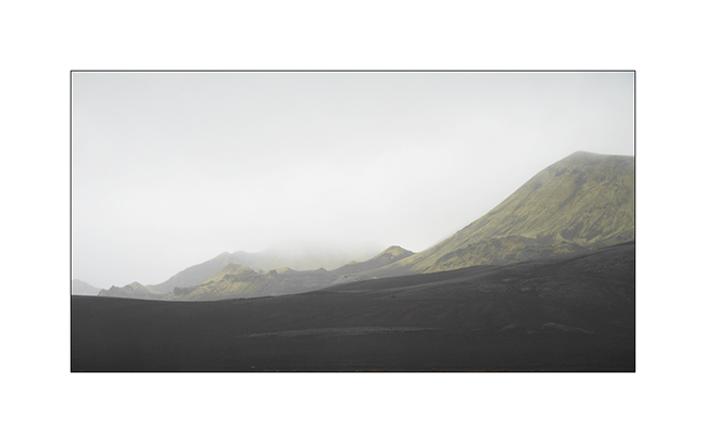
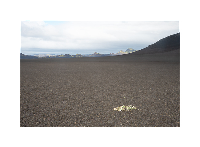
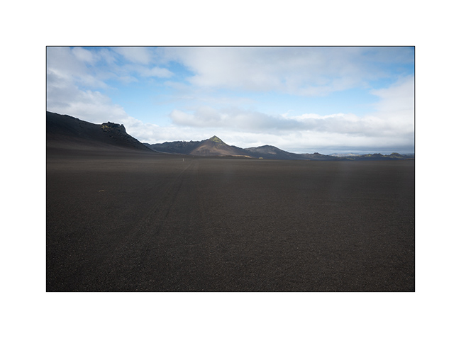
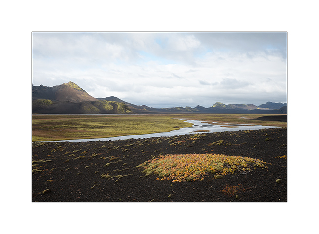
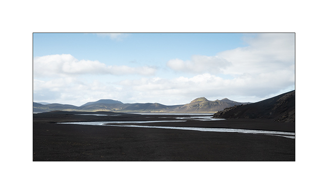
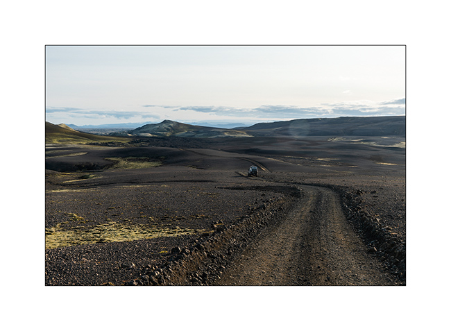
4. We are happy when she found vast alluvial plains…
5. Drawings…
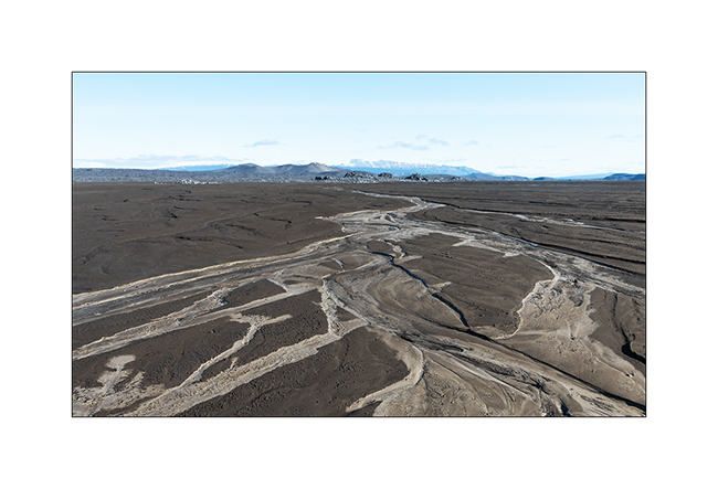
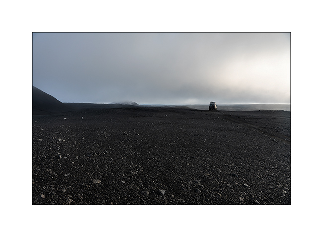
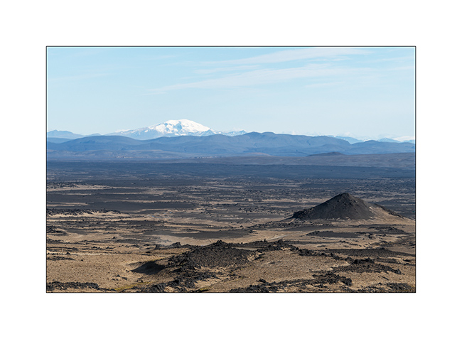
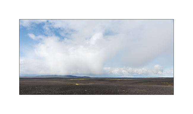
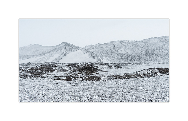
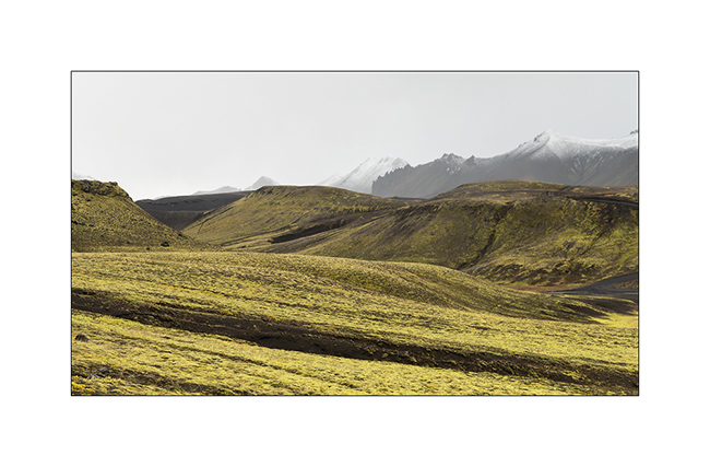
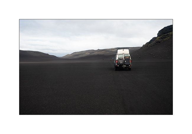
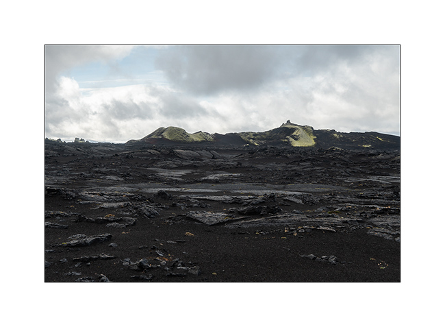
6. We then cross the Black Sand Desert.
7. Lunar…

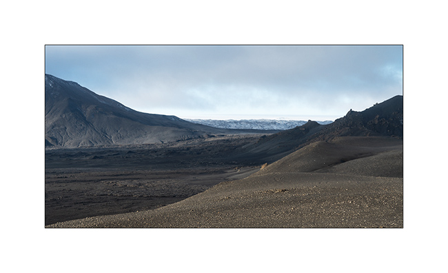
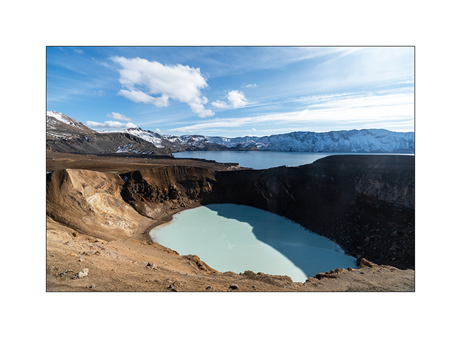
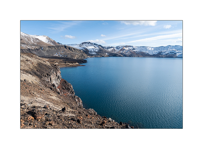
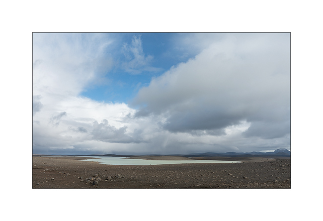
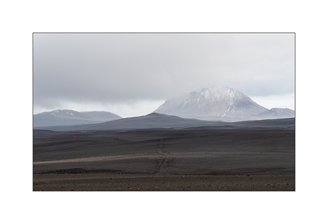
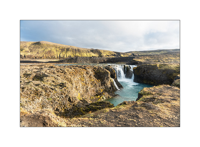
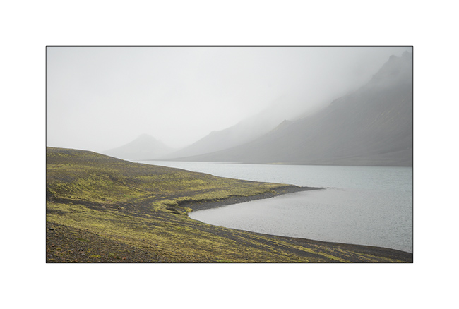
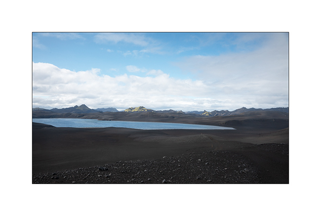
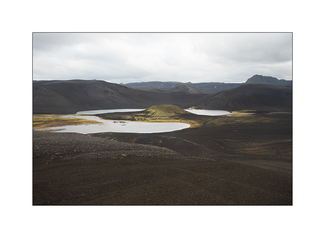
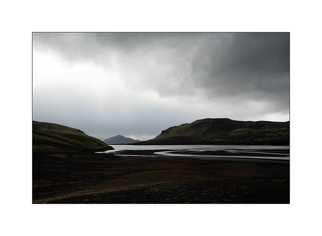
8. We reach the site of Askja, a large caldera of approx. 8 miles in diamete. Part of the crater contains lake Öskjuvatn.
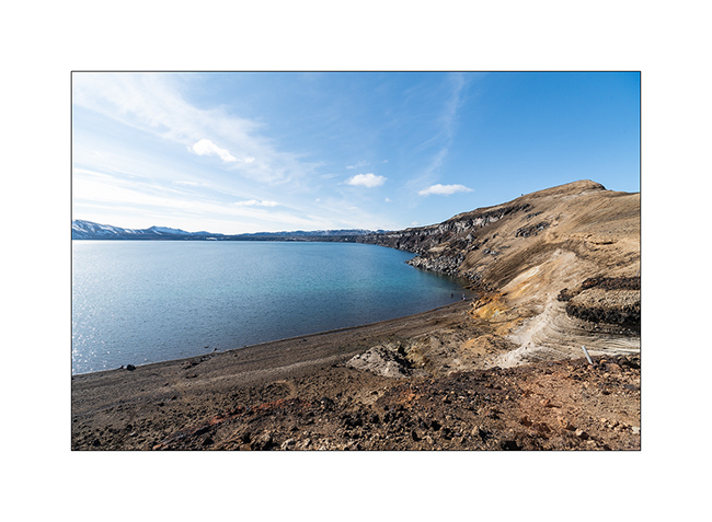
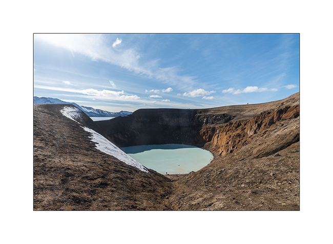
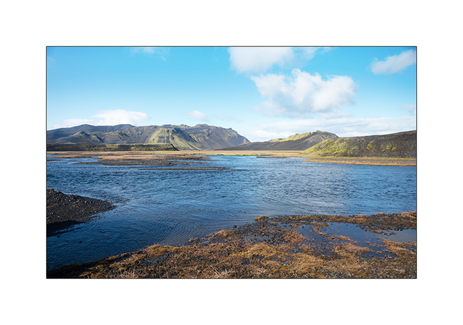
9. The opportunity to go discover the site of Lake Viti.

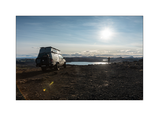
10. Lake Viti is nestled in a crater on the edge of the lake. Its temperature varies between 75° and 82°F, great for bathing.
11. Gorgeous!
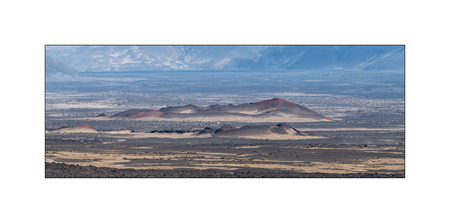
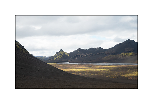
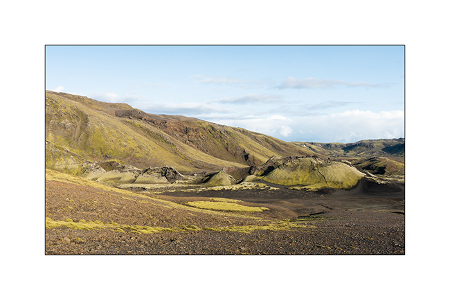
12. Lake Öskjuvatn with several lava flows of different periods.
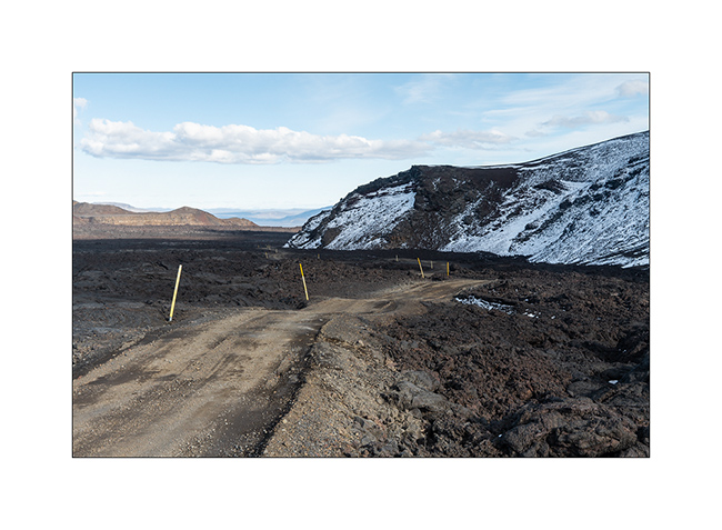
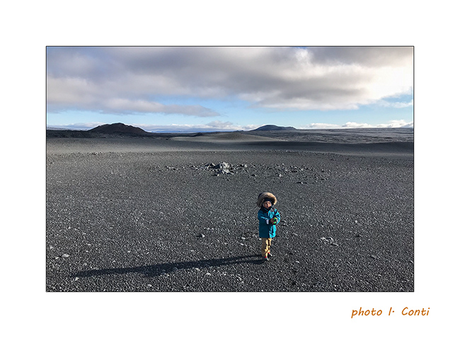
13. The trail leading to the start of the 2 miles hike crosses another lava fiels.
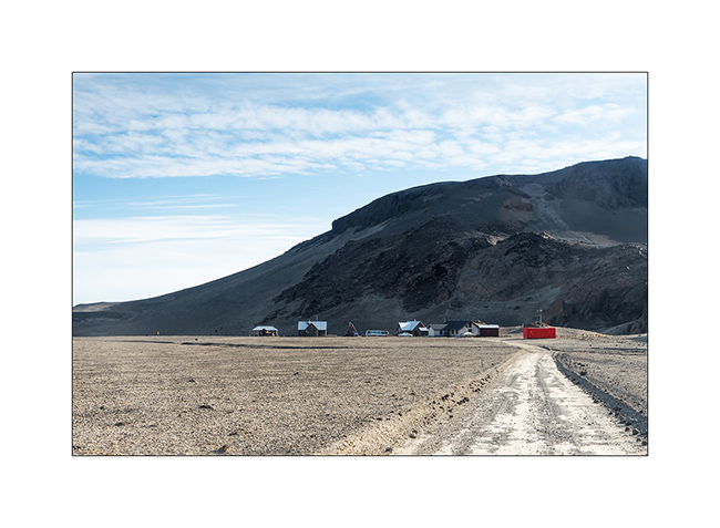
14. The Dreki refuge just outside of the caldera.
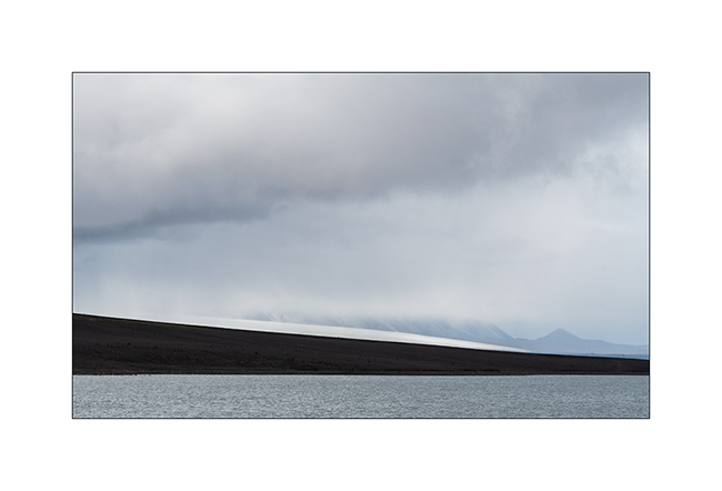
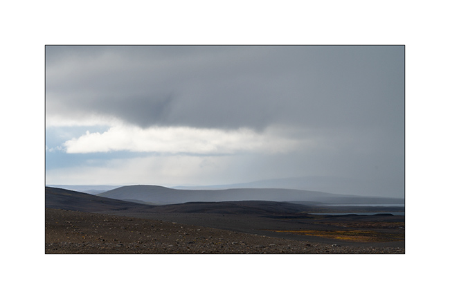
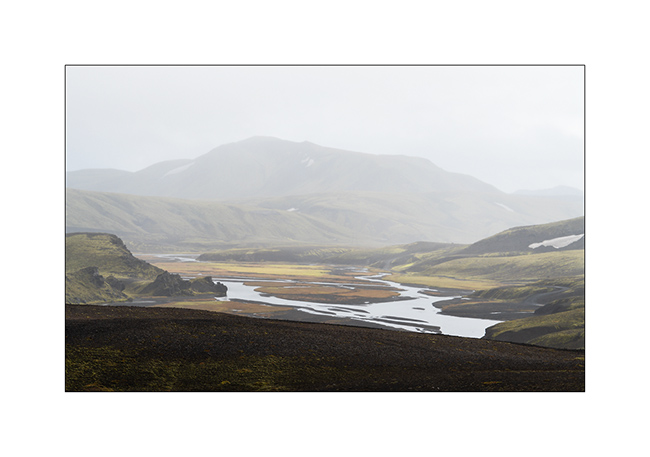
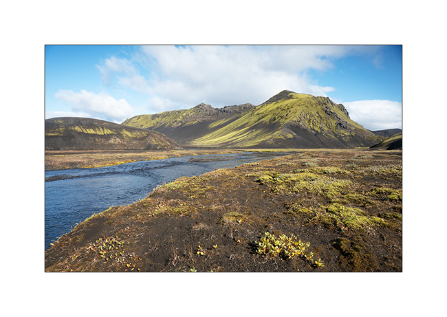
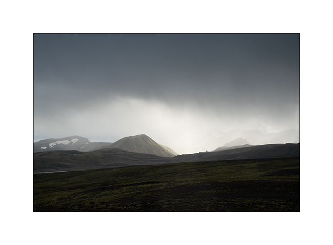
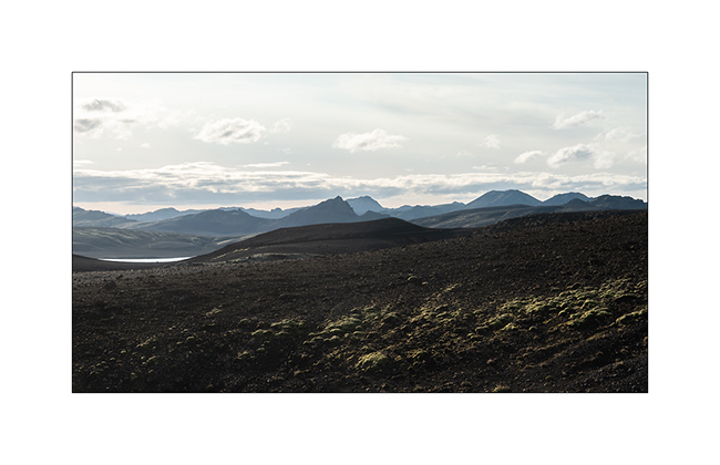
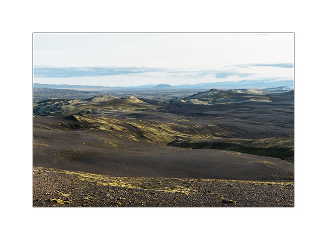
15. View on the plain toward East.
16. …
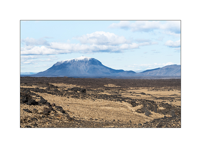
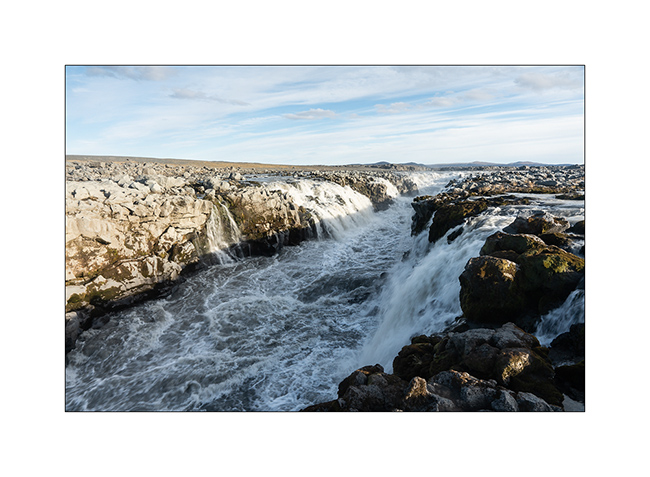
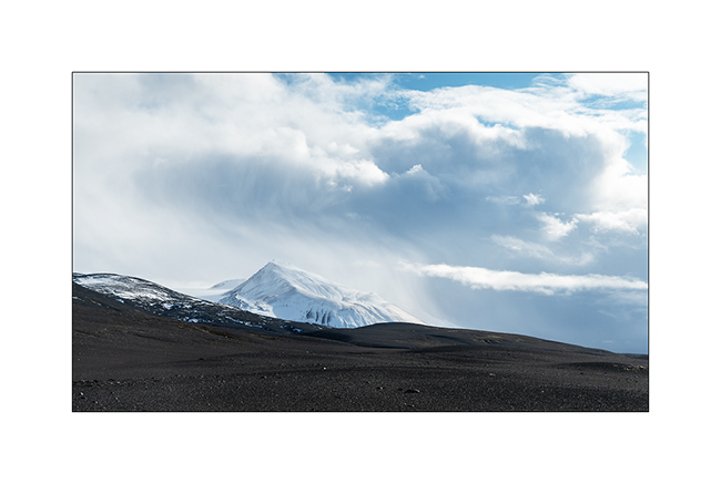
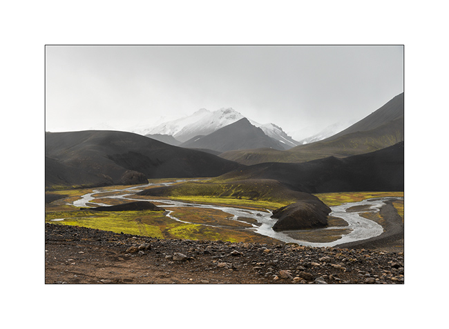
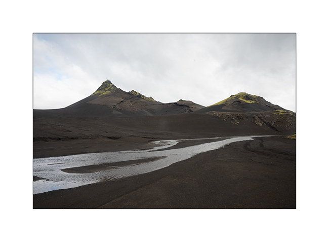
17. The famous mountain Herðubreið looking like a huge pastry.
18. We are now following the F88 track toward North and stop at Gljúfrasmiður canyon.
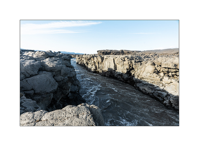
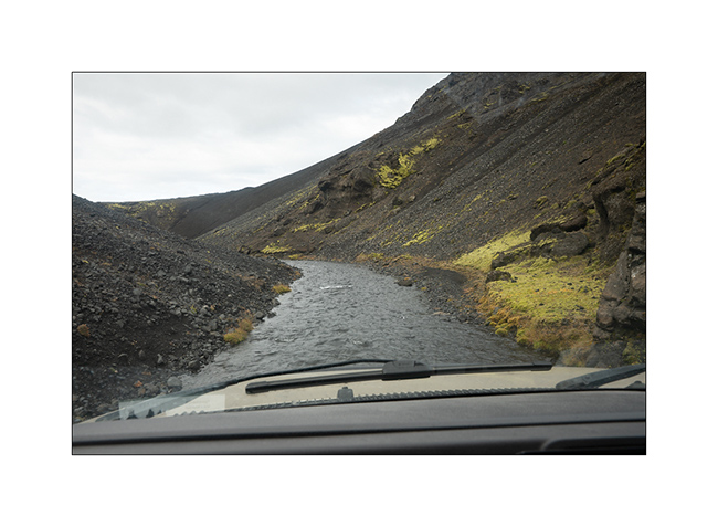
19. The Öskjuleið river rushes into it in pretty falls…
20. … before meandering along a lava flow.
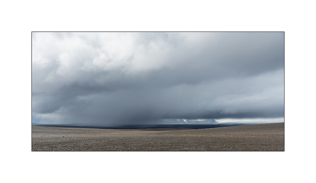
21. …
22. Some iron colors…
23. End of the day light.
We had a nice wild camp in a crater before discovering the Mývatn region. To come soon…
Highlands I – F26 / F910
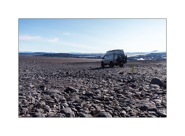
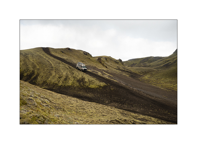
1. After refueling VivaLaVida (with about 10$ a gallon of diesel, it’s more than 400$.- to fill VLV!), we begin the crossing of the Highlands to the Northeast via the F26 road then the F910 which passes north of Vatnajökull.
2. We took two days to reach the site of Askja through beautiful and immense landscapes.
3. …
4. …
5. …
6. …
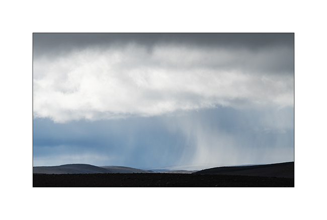
7. Giboulée…
8. Notre piste…
9. …
10. …
11. After about 150 miles exclusively mineral, we found some vegetal colors again…
12. At 2400 feet elevation, snow is close.
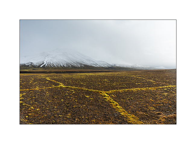
13. Moss grows along furrows carved by surface water, forming geometric shapes.
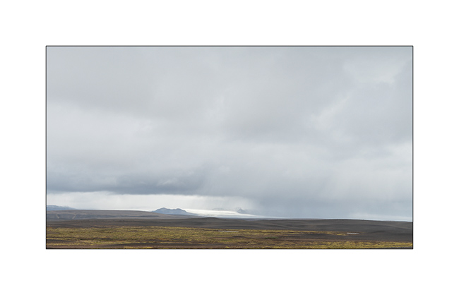
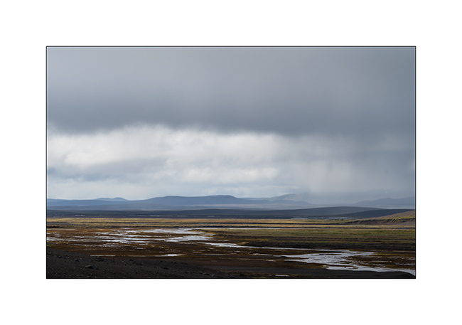
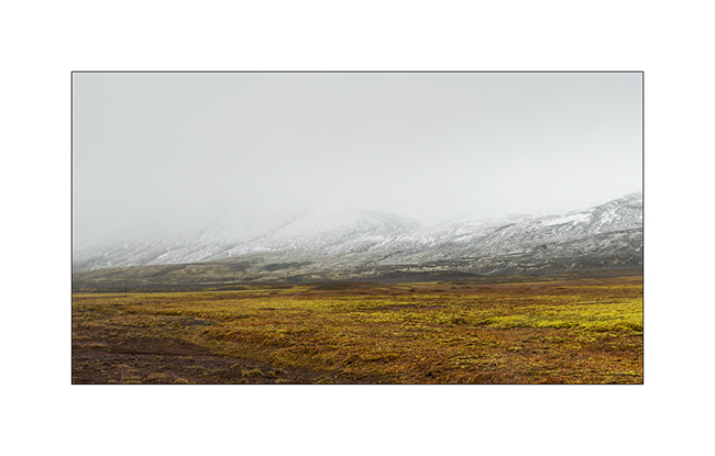
14. The sky ends up opening to the north.
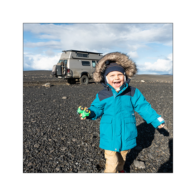
15. The opportunity for Emile to stretch his legs! 😉
16. …
17. …
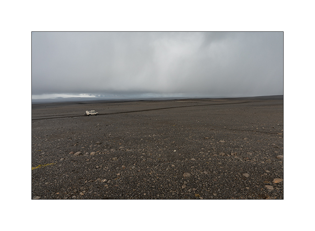
18. As we borrow the Southern variant of F910, as we gain altitude, the weather decays and the snow quickly covers the lava.
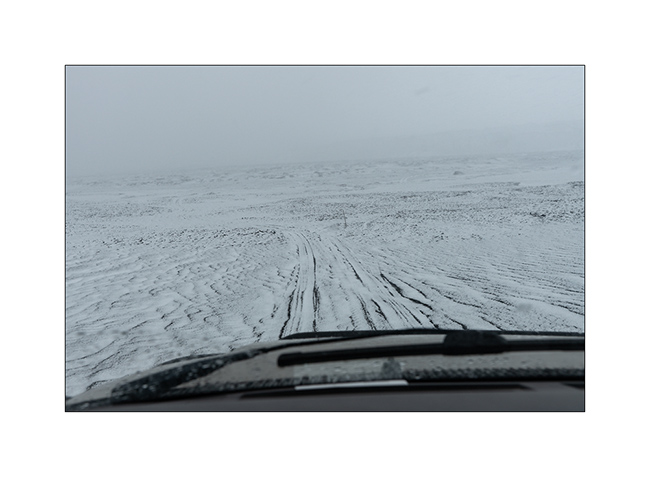
19. While snowing, VLV is the only color note of this landscape.
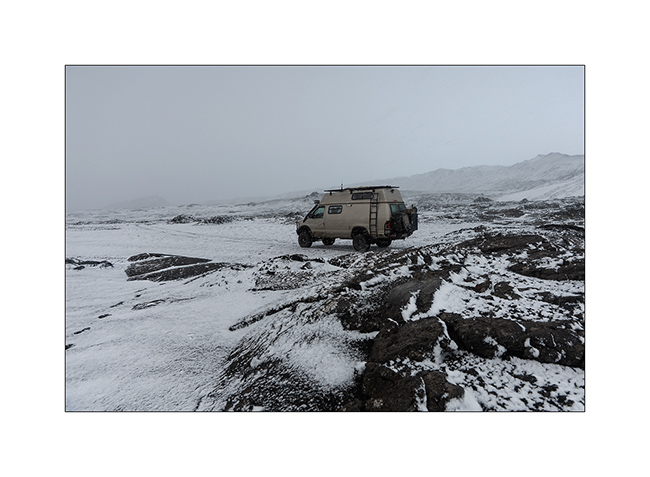
20. Naturally monochrome landscape.
21. …
We spend a cold night not far from the Kistufell refuge, near the Northern end of the VatnaJökull.
Continuation of VivaLaVida’s journey soon! Thank you for your loyalty.
Landmannalaugar and F208
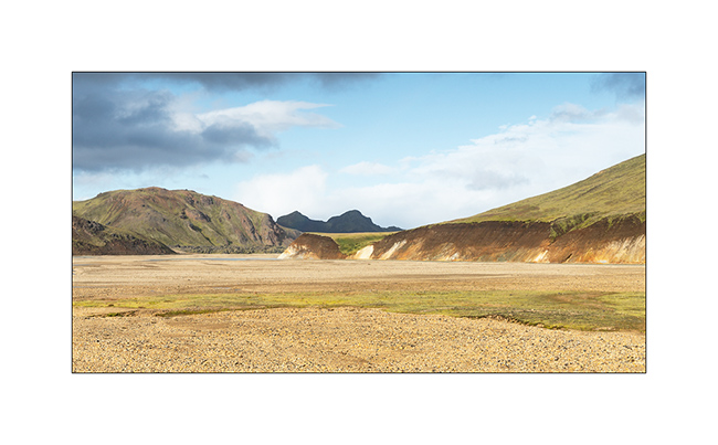
After the gorgeous detour presented in the previous article, we reached the track F208 which leads to Landmannalaugar, a spectacular volcanic site but too touristy for me.
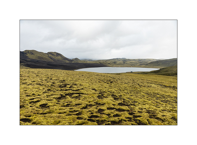
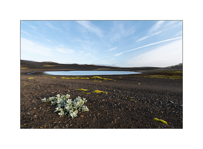
1. The small lake that hosted us for the night.
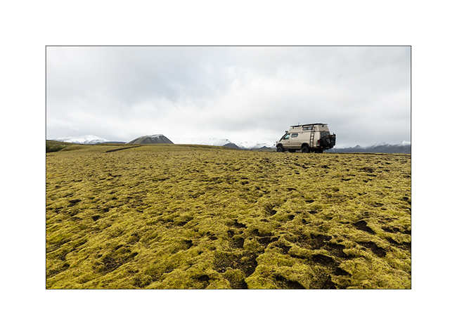
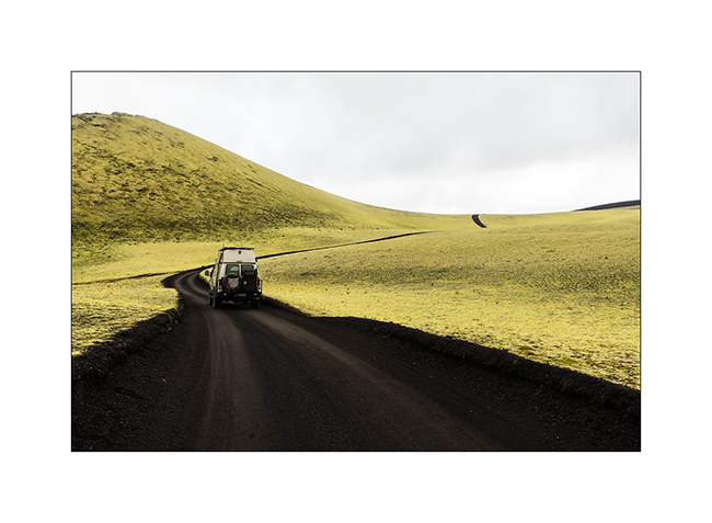
2. VLV on the trail.
3. It was cold that night and it snowed at about 2,700 feet.
4. Contrasts of shapes and textures…
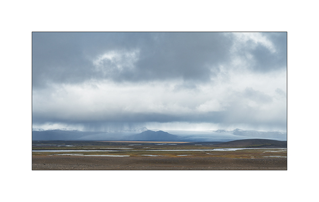
5. The weather is still changing.
6. Following F208.
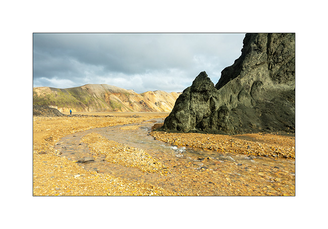
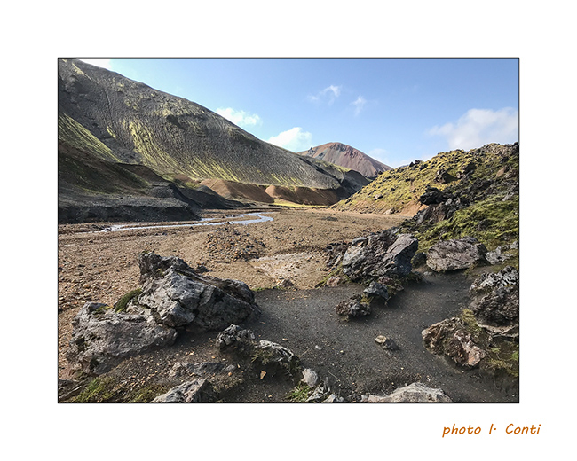
7. Arrival at Landmannalaugar.

8. The colors are very different, definitely warmer.

9. Still contrasts…
10. …
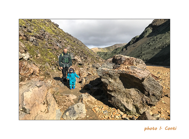
11. Despite our still small Emile, we went for a “hike” of 4 miles km and he did it very well apart from a loss of balance making him fall into a hole at the edge of the trail, which impressed his mom more than him.
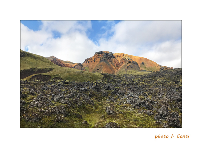
12. The mix of colors and textures is amazing.
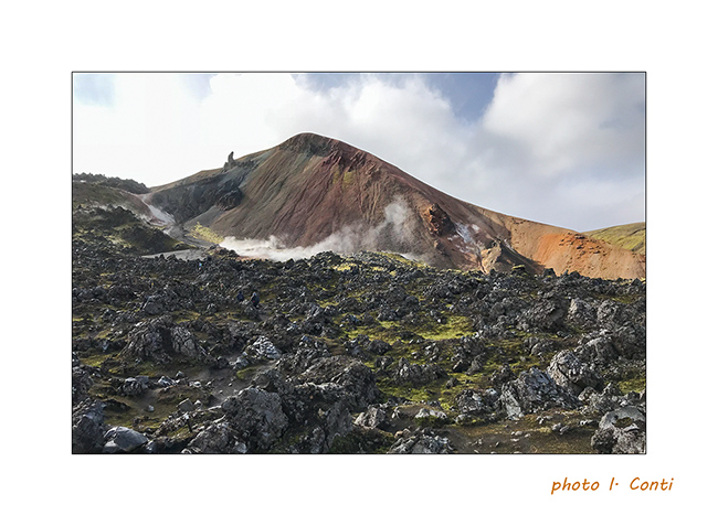
13. We go up the bed of a nice stream…
14. … up to sulfur fumaroles.
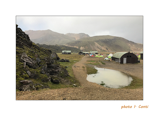
15. The upper part of the refuge / camping, which is a real small town where too much rooms, tents, buses and camper mingle…
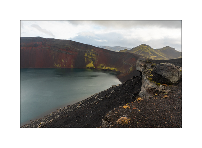
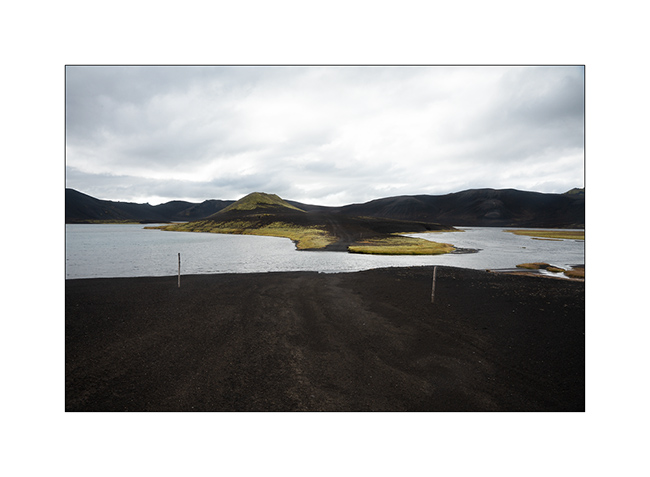
16. As it was difficult to make longer hikes with Emile, still too small for that, we took the trail toward North with a detour to discover the Lake Ljótipollur and its particular blue-green color.
17. …

18. Sigöldufoss, at the North end of road F208.
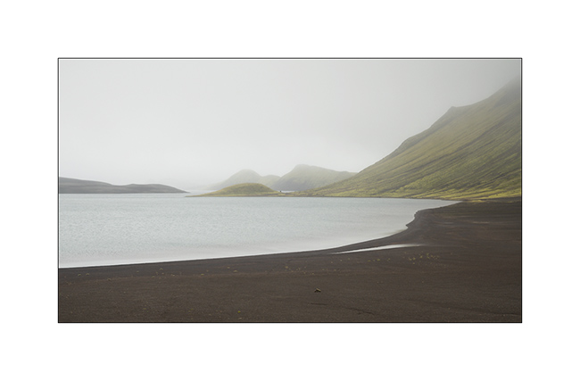
19. We spent the night at the coast of another lake, Fellsendavatn, along the road F228.

The continuation with the crossing of the Highlands all soon.
Path less traveled…
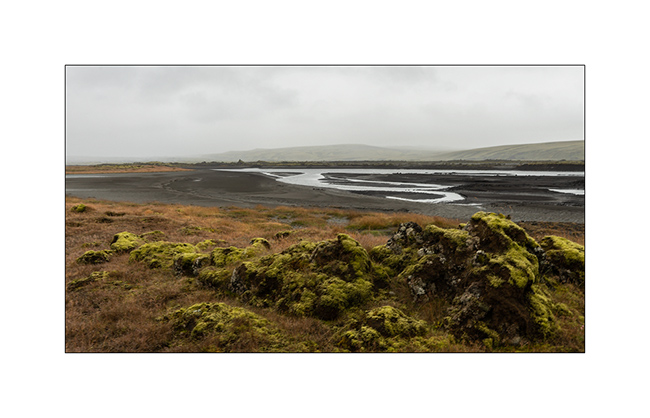
After the Lakagigar, rather than go directly to the Landmannalaugar on F208, we decided to go to Langisjór Lake via some less traveled trails that proved to be gorgeous…
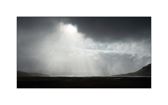
1. River in the rain, along Southern F208.
2. Rather curious sign, isn’t it? In fact, the trail goes into the lake on approx. 300 yards.
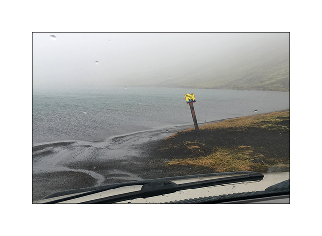
Here is a video of this unusual path done by Isabelle. The weather was windy, with rain and fog…
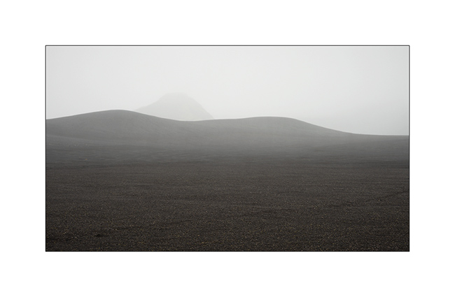
3. In places, everything is only mineral.
4. Langisjór lake in the rain.
5. Trail…
6. …
7. River…
8. Fog…
9. VivaLaVida riding the moon.
10. The rain finally stops.
11. Invisible track. Thank you GPS.
12. Desolation…
13. … and blackness.
14. But these landscapes are amazing.
15. The trail crosses another lake.
16. Contrasts are everywhere.
17. Our trail seen from the top of a hill.
18. After driving in a lake, here we follow the riverbed for nearly one mile to change the valley! 😉
19. …
20. Fairy…
21. …
22. Another ford.
23. … and another.
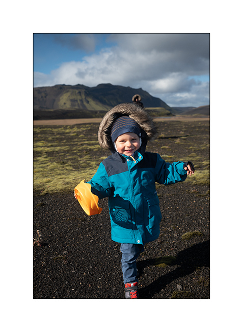
24. We walk and play too!
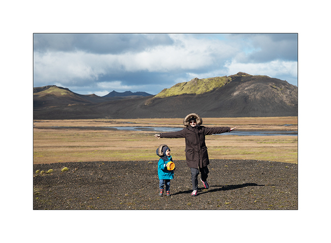
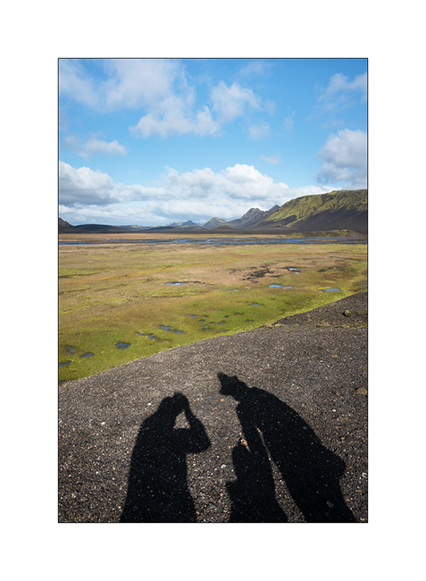
25. Selfie 😉
26. Emile loves it.
27. Late afternoon contrasts.
28. …
29. In places, this track less traveled requires a good 4WD transmission, as here in a steep descent.
Here is another short video showing this trail. In video background, we can see the continuation of the track over the river, which goes up in the hills.
30. Rain showers are back.
31. …
32. …
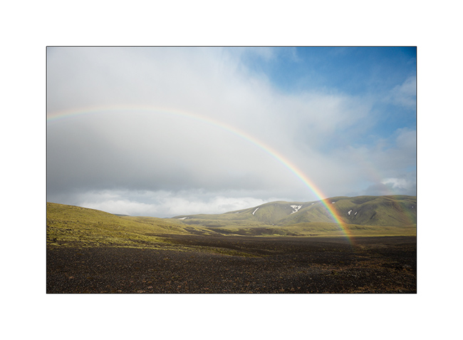
33. Another particularly saturated rainbow.
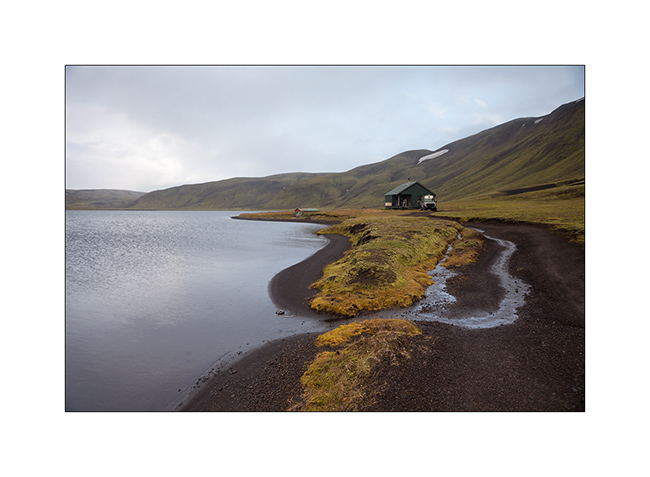
34. We spend the night on the shore of a lake, near a shelter already closed for winter…
Hoping that this update won’t have been too long… 😉
To be followed in Landmannalaugar soon.
Lakagigar – F206 / F207
Here we are to discover the Lakagigar region, driving our first “F Roads”, trails reserved for 4×4 because of deep fords and “in principles”
prohibited to rental vehicles. In principle because we saw many “unauthorized” rental SUV on these tracks.
1. F206
2. As in the Faroe Islands, sheep live in freedom everywhere.

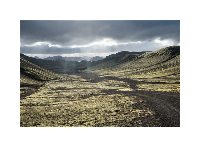
3. VivaLaVida crosses completely mineral landscapes.

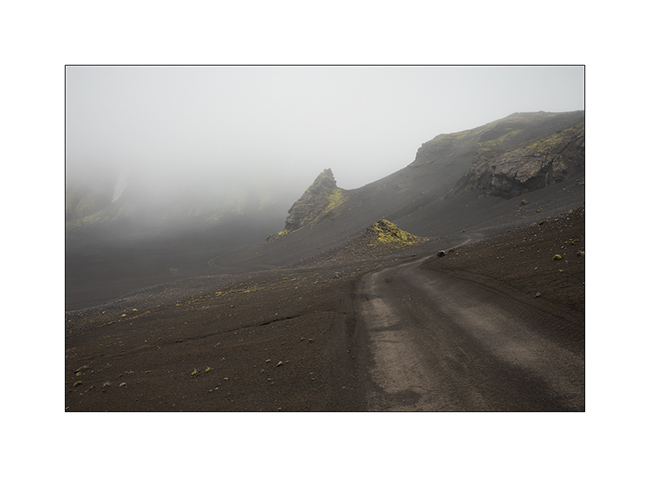
4. Here is the Lakagigar range, volcanoes that appeared only a few decades ago.

5. Small lake stuck between mountain and lava flow.

6. The F206 was created in the lava.
7. Only mosses and lichens manage to develop on volcanic slags.
8. The summits, more exposed, are often virgin of vegetation.
9. Enjoying the panorama in late afternoon.
10. And what a panorama!
11. F207
12. We boondocked on the shore of a small lake.

13. Sweetness of the evening light.
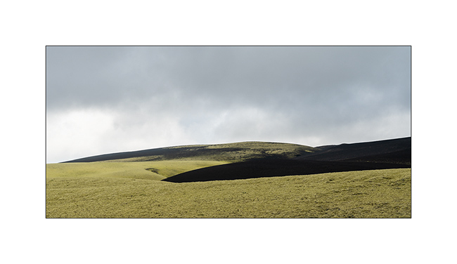
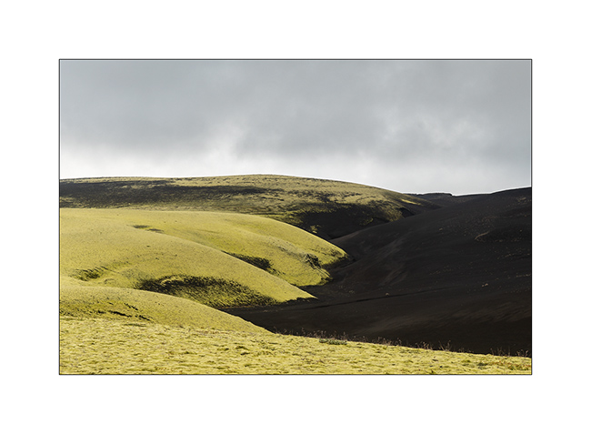
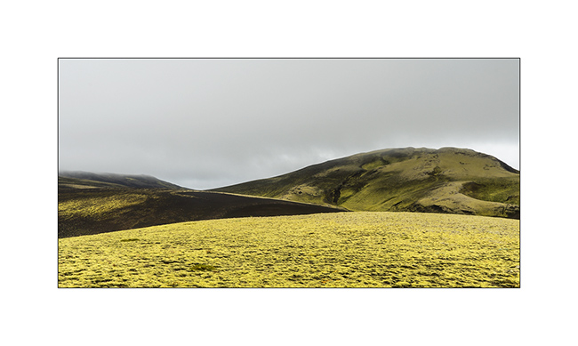
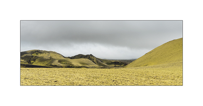
14. The next day, despite the light of a gray sky, the contrasts are amazing. The moss looks almost fluorescent.
15. …
16. …
17. Laki volcano.
18. … and one of the new craters around.
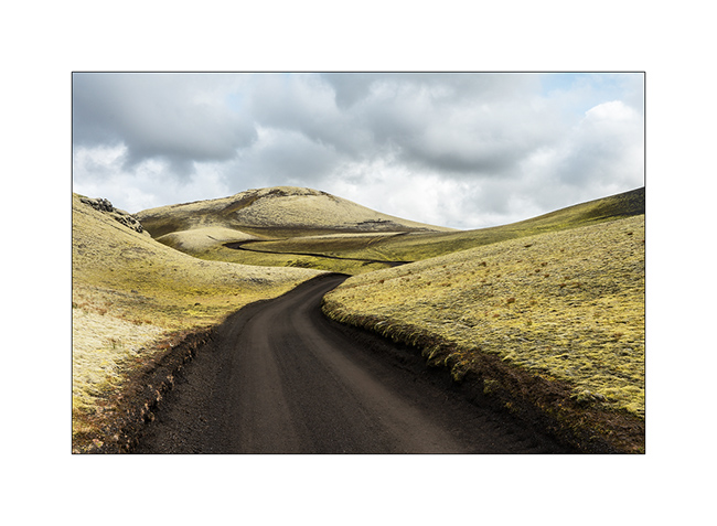
19. The F207 winds between the hills.

20. Raw lava.
21. Ground is very dark.

22. The trail is sometimes not very marked.

23. Looking to North West towards Landmannalaugar.

24. …

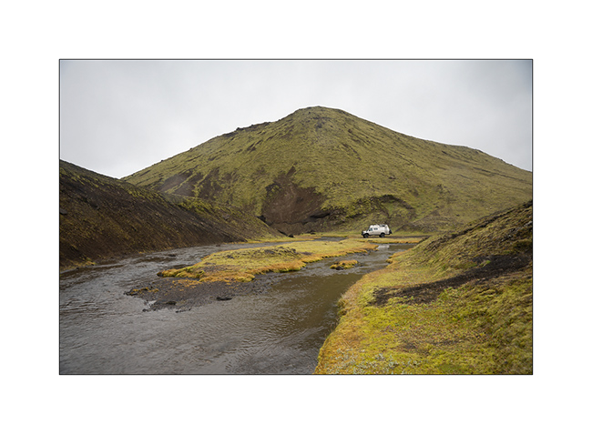
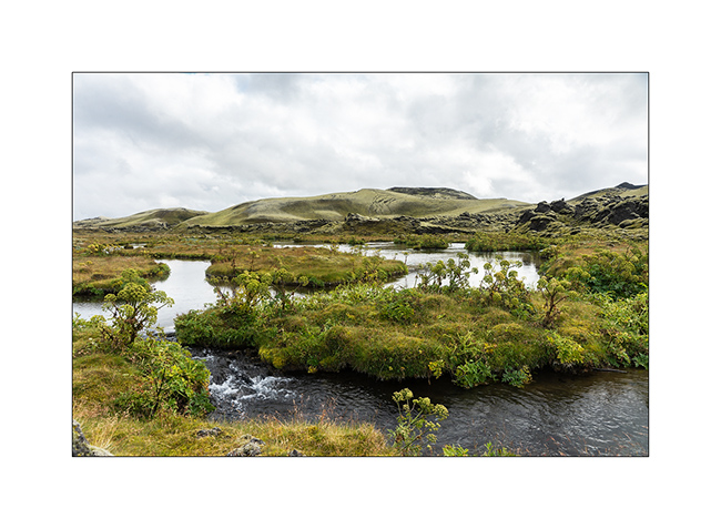
25. Crossing a river with water temperated by some hot springs, the vegetation changes.
I posted a short video of a F207 ford here for those interested. 😉
26. The Fragifoss waterfall along the F206.

27. Last sight of these pretty volcanic hills.
To be followred on the side of the famous Landmannalaugar, probably the most visited interior site in Iceland.
 D5 Creation