March, 2014
now browsing by month
Big Bend Ranch State Park (1)
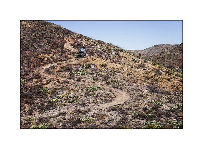
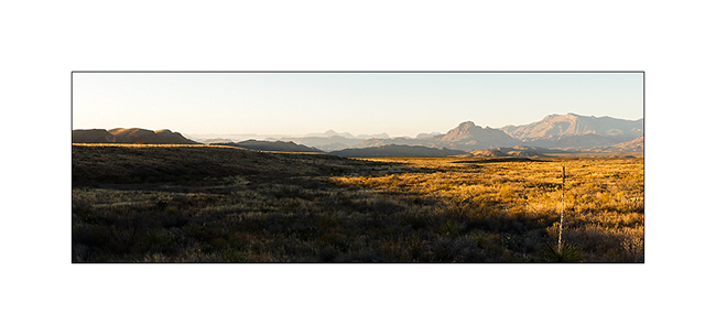
After the National Park, so I went to visit the almost adjoining and even wilder Big Bend Ranch State Park … Only one road leads there along the Rio Grande. So I made the diesel tank and the fridge full at Study Bute before getting deep on the slopes of this place really retired…
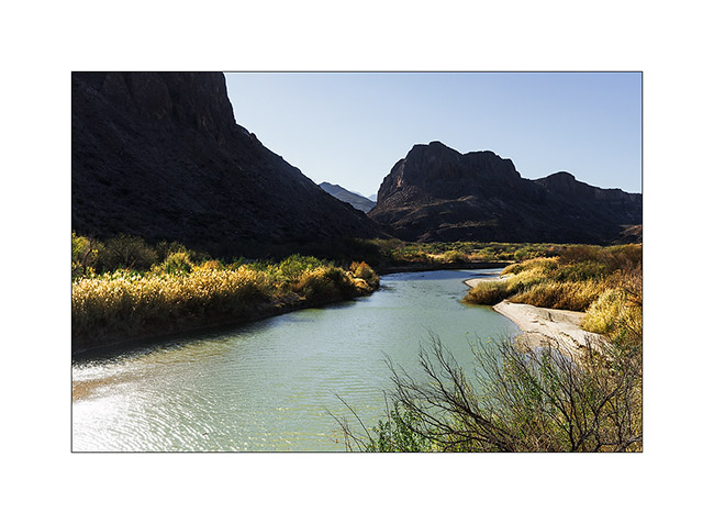
1. Rio Grande in late afternoon.
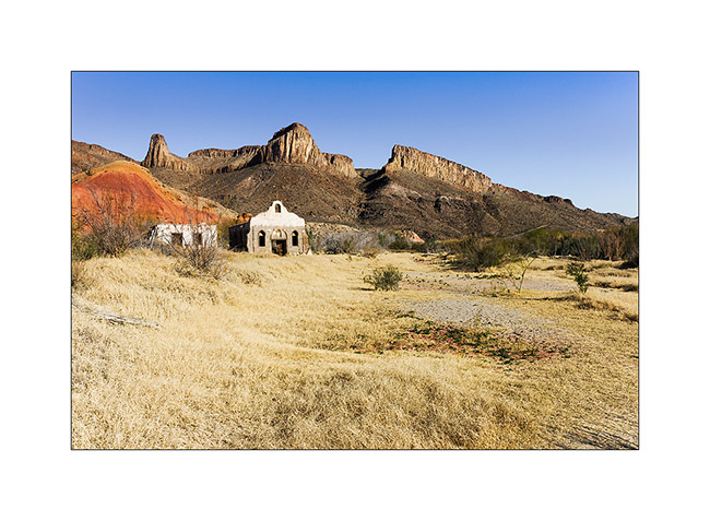
2. Abandoned village seeming straight out of a Western movie…
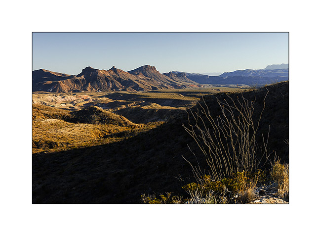
3. Pretty nice light for my Mountain bike ride…
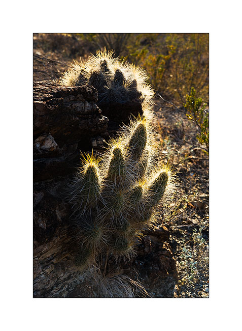
4. In backlight…
5. the “single” which brought me back to VivaLaVida…
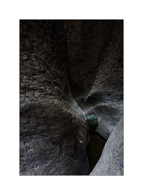
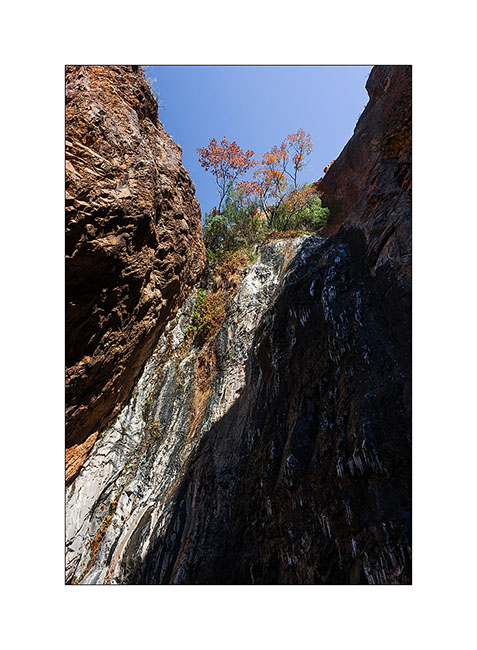
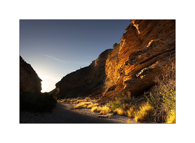
The next day, I visited to particular sites: Closed Canyon et les Hoodoos.
6. A picture that I like: Closed Canyon
7. The Rio Grande at a place called Hoodoos.

8. One of the Hoodoos, forming eroded by the wind.

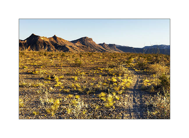
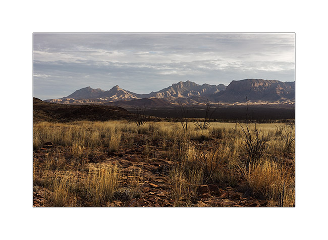
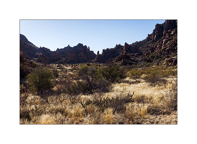
9. Chihuahuan desert.
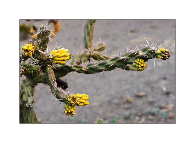
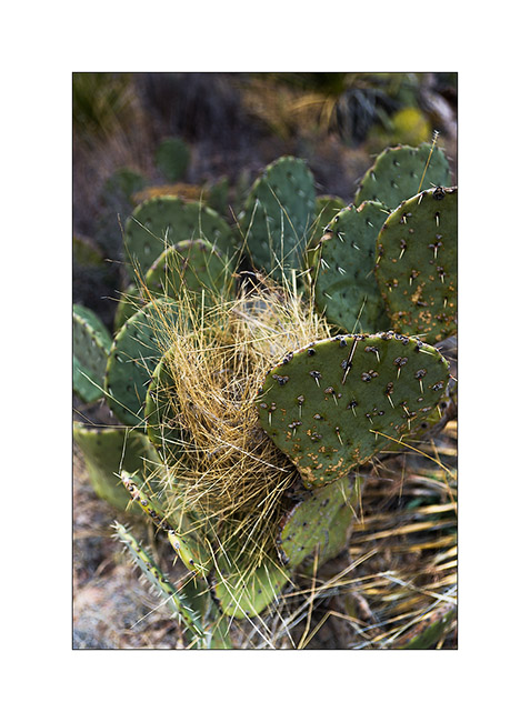
10. Cactus flower.
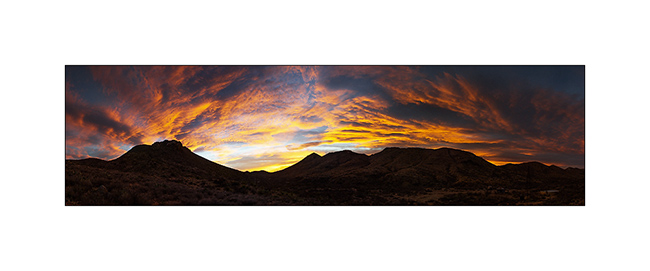
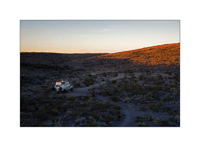
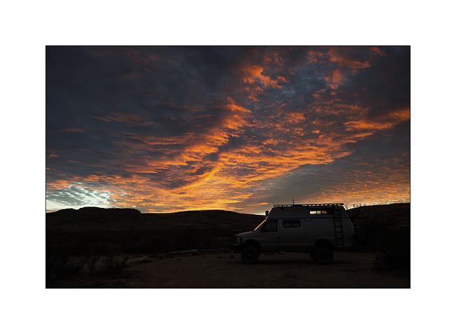
11. After more than 65 miles of rough dirt road, I spent the night like lonely in the world, near the ruins of an abandoned ranch…
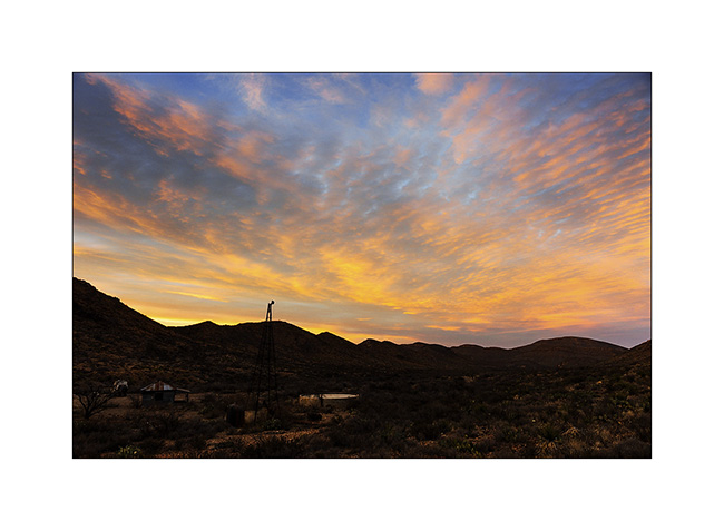
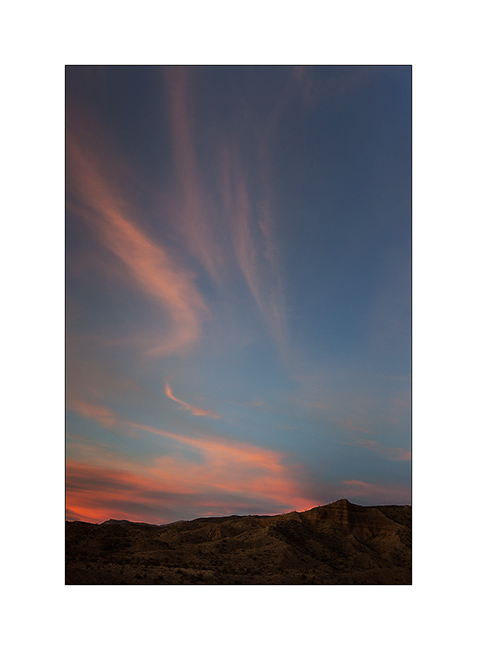
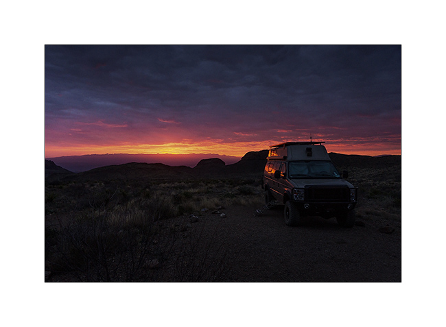
12. Fiery sunset! (panoramic de 9 vertical images)
13. To regain strength, a vegetable omelet in preparation! 😀

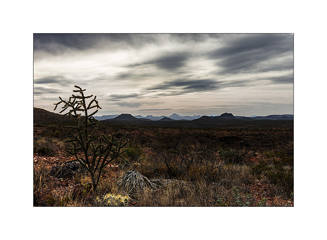
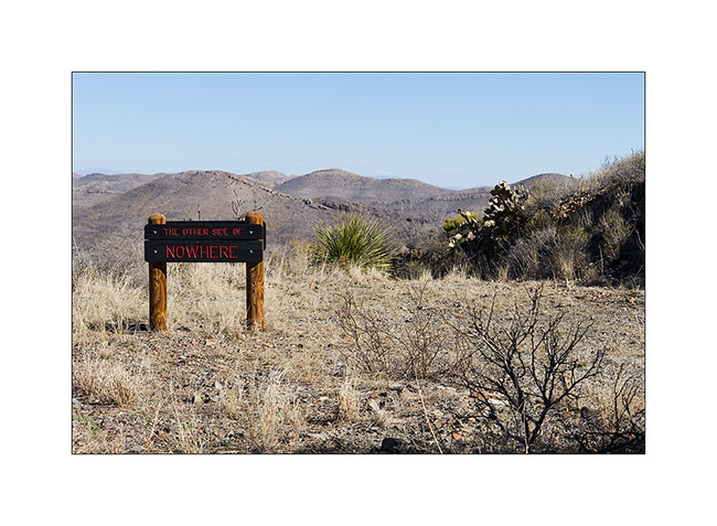
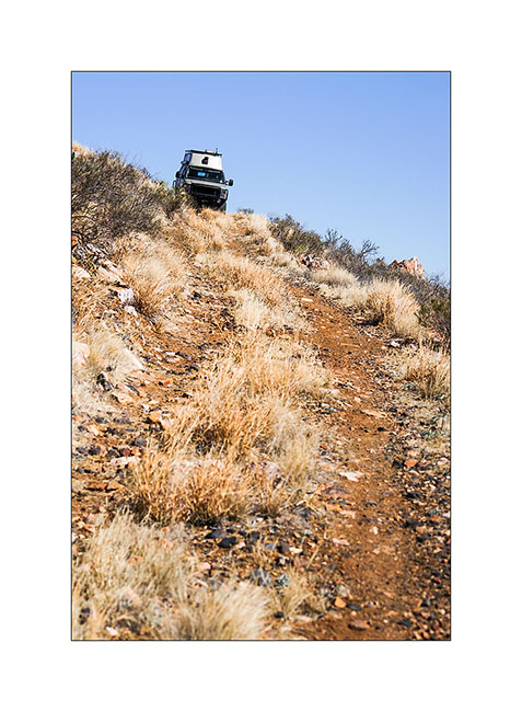
14. The next day, I hikd my mountain bike to the Road to Nowhere, ancient way of mineral prospection lost in the middle of the caldera of El Solitario, a volcano from about 600 million years…
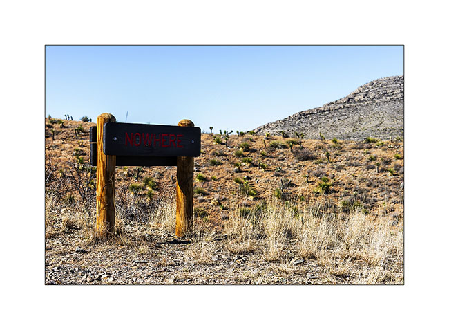
15. They do not lack of humor… 😉
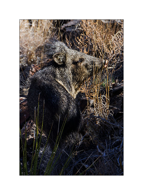
16. I have seen wild pigs called javelinas here. There is a big male…
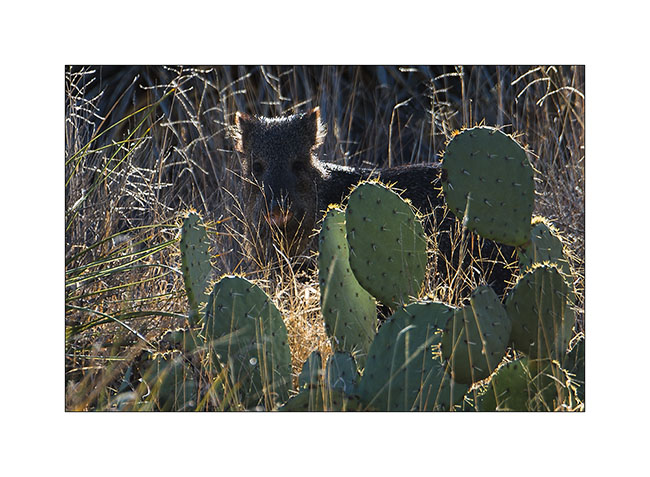
17. There, a younger.
18. I hit the trail again, sometimes steep and exposed, to old mines.
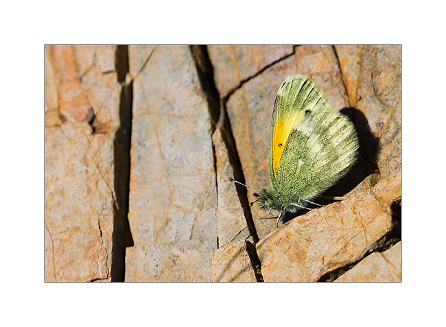
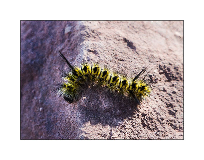
19. Butterfly warming in the sun. Images don’t show that it was cold, with a strong wind…
20. Scabrous descent, definitely steeper than it looks on this picture…
21. Really remote boondocking…
There will still be a post on this wild and magnificent Ranch State Park, before heading north to discover other region of this vast Texas…
Big Bend National Park (4) : Chisos Mountains
After Pine Canyon, I went to discover the only permanent waterfall in this region, Cattail Falls. It is not on the maps, the park administration seeking to preserve the particular and very sensitive habitat it creates, especially hummingbirds coming from spring to summer.
1. The small valley nestled in the foothills of Chisos Mountains.
2. The falls them selves, a thin trickle decorated of ice because of chilly temperature !
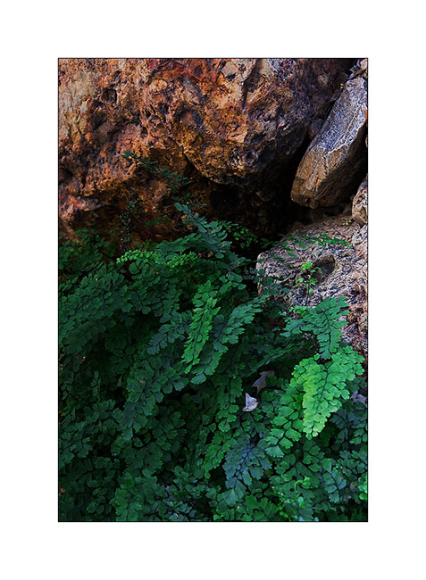
3. The freshness of the place allows unexpected plants to survive, as this fern…
4. Sunset from Cattail Falls trail.
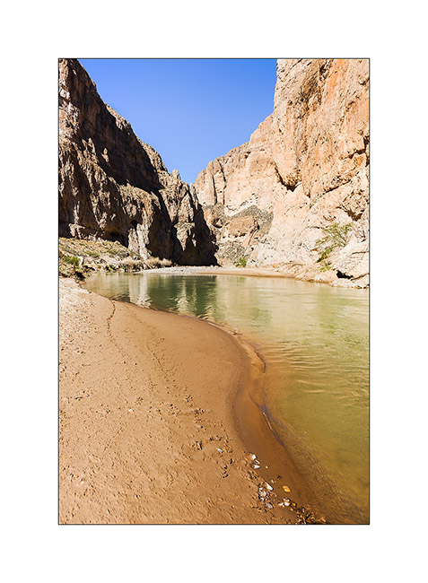
5. I then descended some forty miles to the south-east to discover the Boquillas Canyon carved by the Rio Grande.
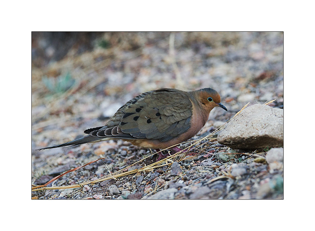
6. A dove in late afternoon.
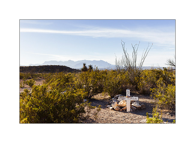
7. Tomb along the trail that goes up the east park boundary.
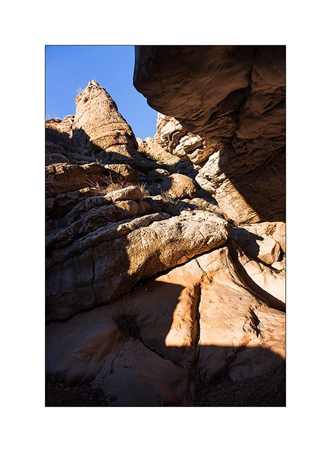
8. Hiking up the Ernst Tinaja Canyon…
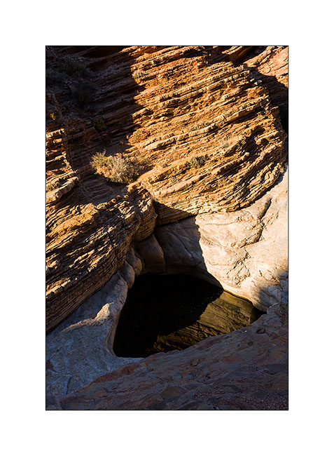
9. The Ernst Tinaja, a beautiful pot created by the floods of the wash.
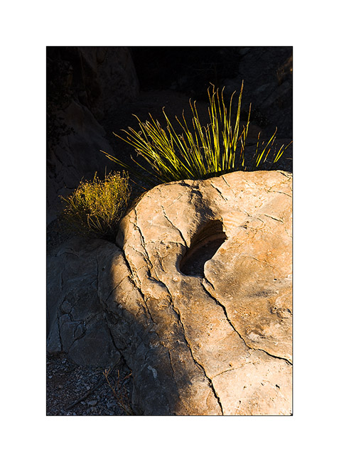
10. Last sunrays in the canyon…
11. Sunset light as I go back to Vivalavida…
12. Beautiful sky…
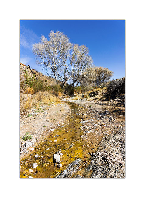
13. A spring whose water disappears underground just 300 yards after be appeared…
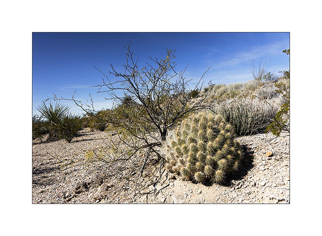
14. Beautiful spiny specimen!
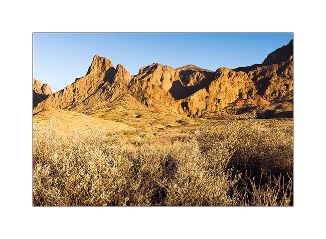
I then ascended in the Chisos Basin nestled amid Chisos Mountains at 5,600 feet above sea level, where I climbed the highest peak, the Emory Peak at 8,408 feet.
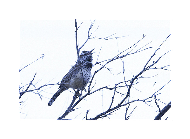
15. The singer who waked me up…
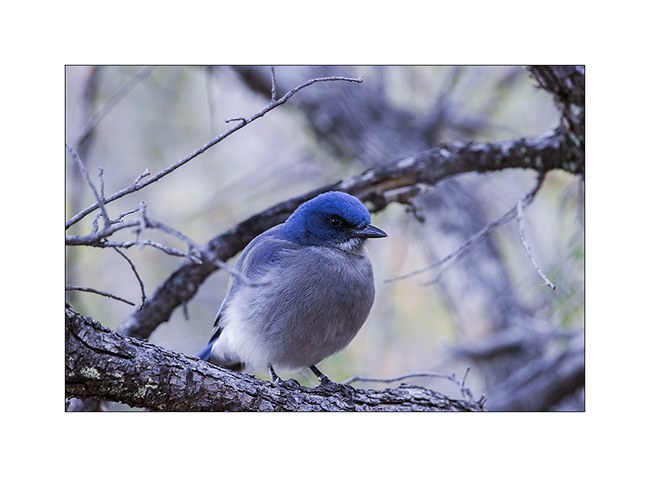
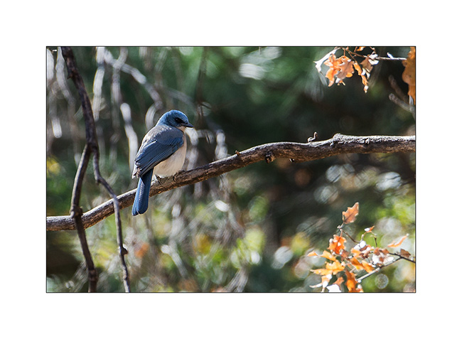
16. A mexican jay still asleep in the cold morning. He let me close to only six feet away…
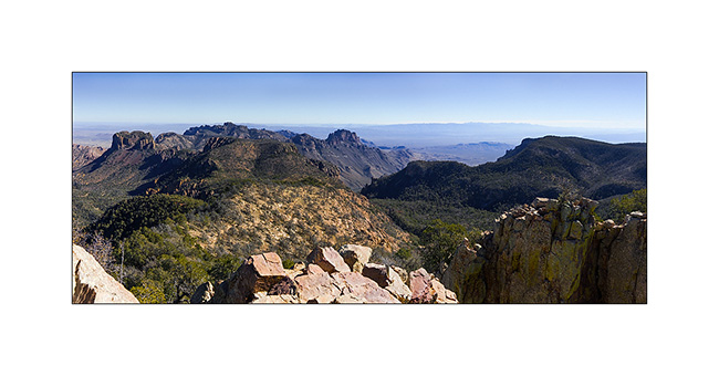
17. View from the top of Emory Peak. Distant are more than 300 miles away, amazing!
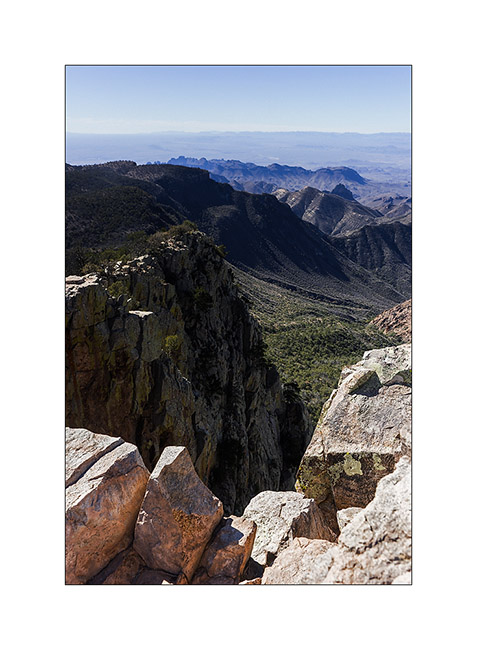
18. Cliff views from the top.
19. Chisos Bassin at sunrise.
20. Following the Lost Mine Trail…
21. Visitor on the path…
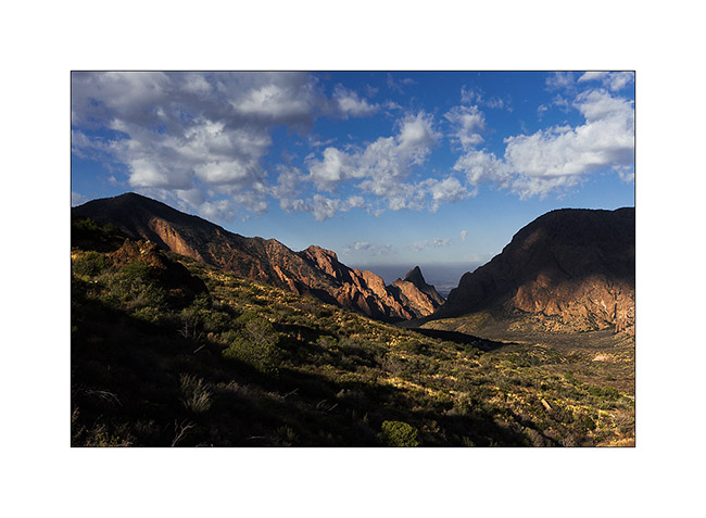
22. View to the Chisos Mountains from the Lost Mine Trail.
23. Another one to close that report on Big Bend National Park.
My journey will continue with the discovery of Big Bend Ranch State Park almost adjoining the National Park. To come soon…
Big Bend National Park (3)
Coming out of the Baja after some adventures I will tell you soon, here is another update in Big Bend National parc.
1. Colored sunrise…
The weather is still cloudy, windy and cold. I take this opportunity to introduce you to some of the desert plants…
2. A faded agave flower stands proudly.
3. A nest in cactus…
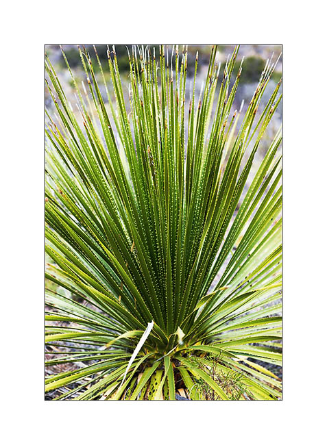
4. Almost everything that grows here have thorns..!
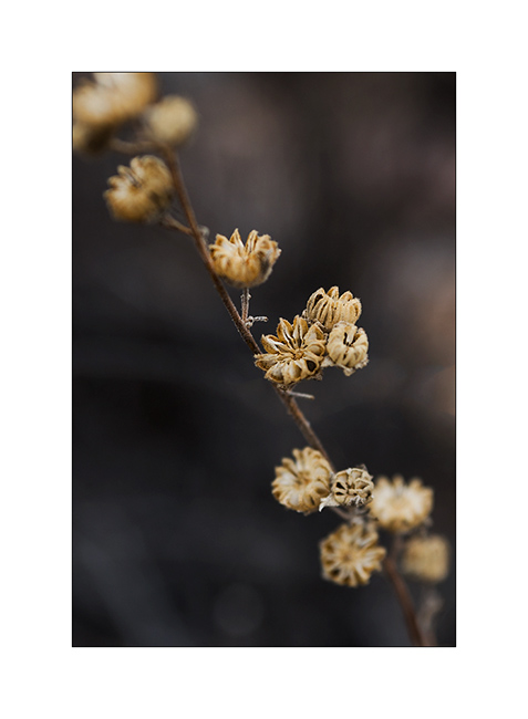
5. Grains…
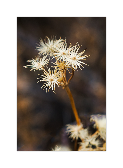
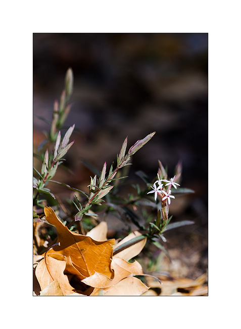
6. Nice tiny stars…
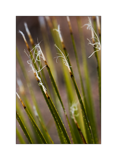
7. silky down…

8. Elegance…
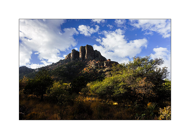
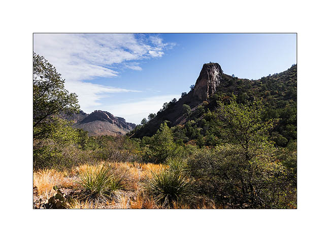
9. A little ray greets me at the entrance of Pine Canyon. At this altitude – over 4000 feets high – the vegetation changes, the freshness of the canyon makes enough moisture for some trees, mostly pines and oaks, to growth.
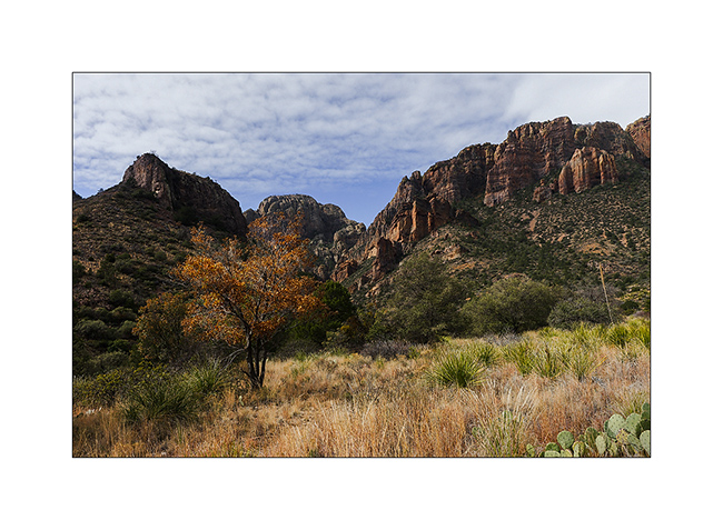
10. Pine Canyon, back view…
11. A mexican jay, beautiful bird that announces the arrival of bipeds by repeated shouts..!
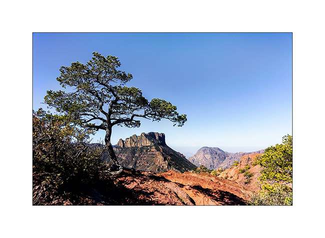
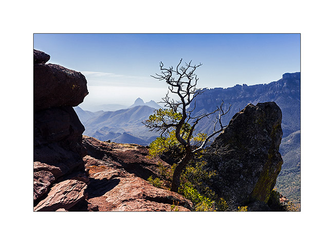
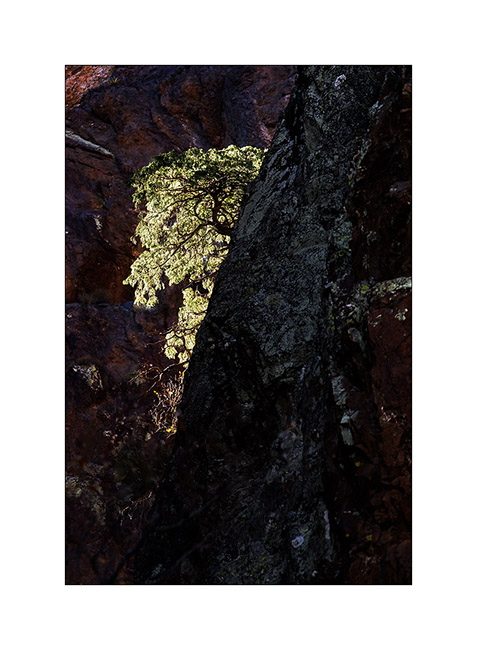
12. Tree on a cliff…
13. Undergrowth flower.
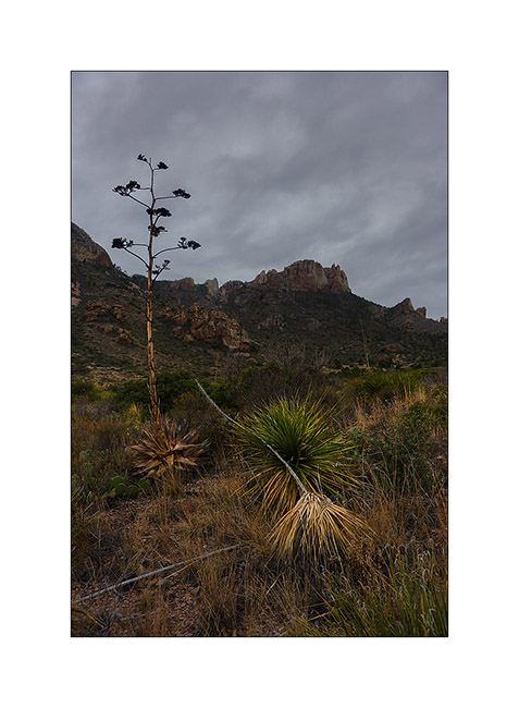
14. Sunset on Chisos Mountains.
15. What a sky to wish good night to Vivalavida..!
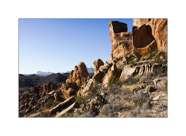
16. Arrival at the Grapewine Hills early morning.
17. Nice pinacles…
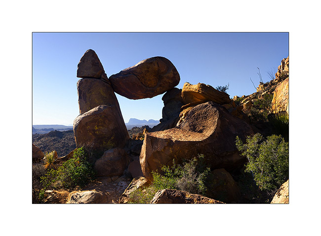
18. Balanced Rock…
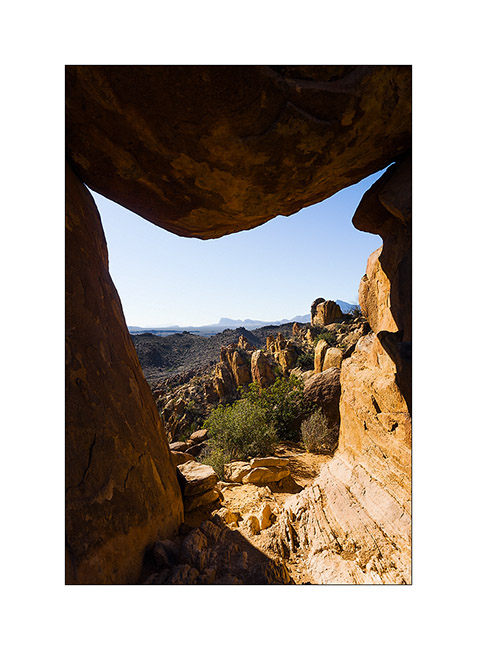
19. Window on the landscape…
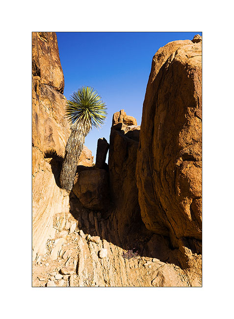
20. A yuca growing on the rocks.
The next update will still be in Big Bend NP, to be followed… 😉
 D5 Creation