November, 2013
now browsing by month
Tennesse again (2)
Still waiting for VivaLaVida’s new title, I get to Tennesse again since last Saturday. I found there the winter with low temps and some snow, the first one for VivaLaVida! 🙂
this time, I’m visiting the Big South Fork, North-East of the state. they are several natural arches and bridges I wanted to discover…
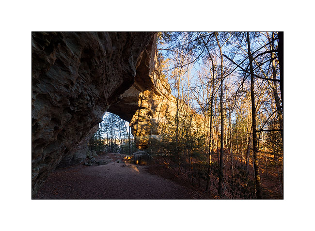
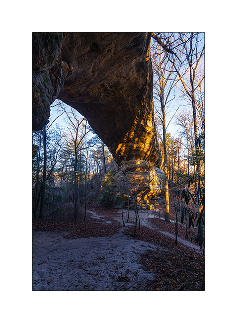
the first I visited were Twin Arches, two arches only about hundred yards one from the other on the same ridge, easy to access by a nice forest road. the morining I was there and even it doesn’t seem on the pictures, temp was 16°..!
1) The South arch, the largest one : about 95 feets high and 135 wide.
2) The North arch is smaller but thiner.
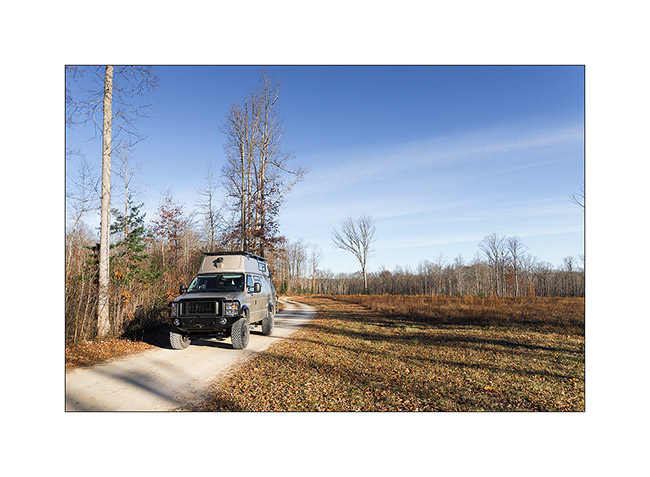
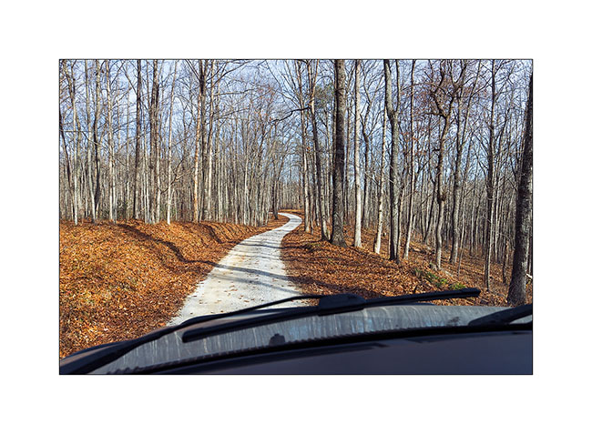
3) VivaLaVida on nice forest roads…
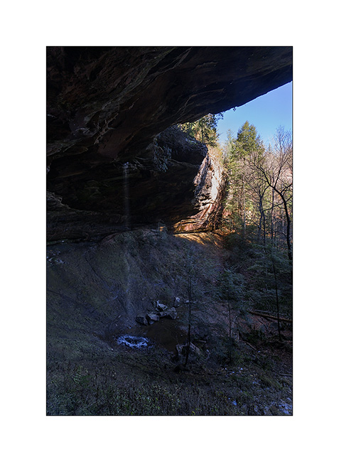
then I followed the trail to the Slave Falls, thin waterfall jumbing from a overhanging cliff.
4) Slave Falls
5) Further on the same trail, the very elegant Needle Arch.
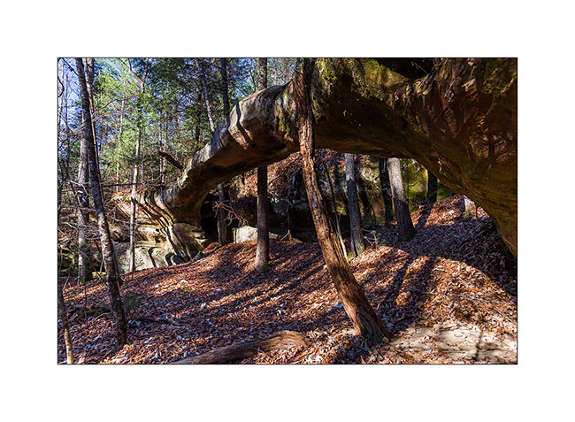
On the way back, I discussed with a ranger – the only person I saw during three days- and he adviced me two other arches in the area, one over. The first one is just called Natural Bridge and is very thin in the middle. I had to climb a little to go down to it.
6) Natural Bridge
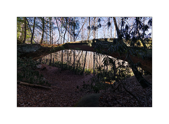
The seconde one is over the Picket Lake. Not easy to find a nice spot to shoot it without walking in the watter, what I refused to do since the cold temp, 26° at that time. 😉
6) Picket Arch
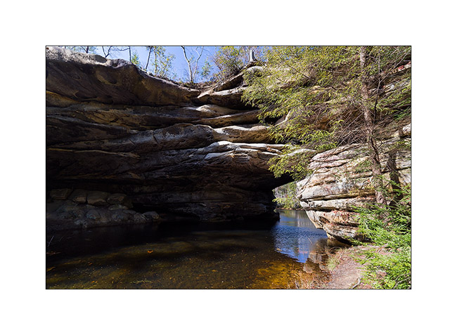
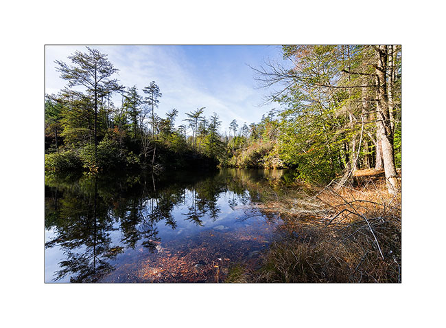
7) Nice Picket Lake…
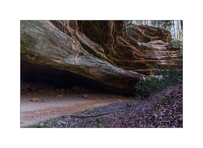
8) The next morning, I drove another nice forest road, about 28 miles long, to visit a cave used long time ago par Indians Cherokee.
9) Entry of the cave
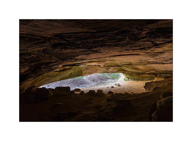
10) New arch in formation over the entry
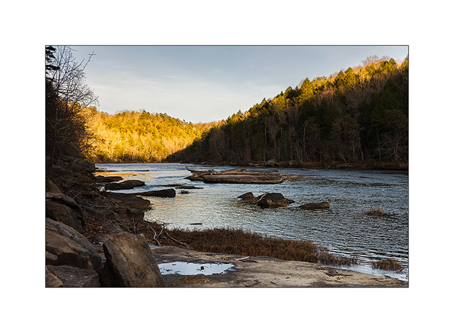
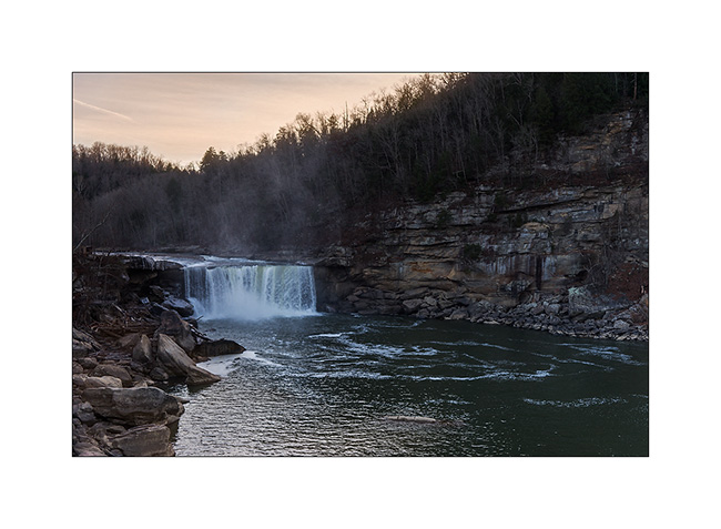
Some road again to the Knetucky to visite the Cumberland Falls, known as the most powerful waterfalls of North-East America excepted Niagara .
11) Arrival at Sunset, a little too late for the right light…
12) The Cumberland River jumps 120 feets , making a permanent water cloud…
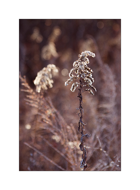
13) Grass…
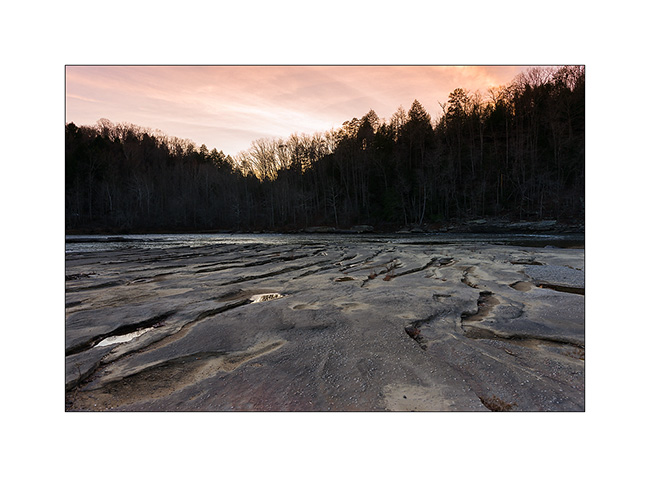
14) Sunset on the Cumberland River
Following of these Tennessee discovery soon… 😉
Happy Thanks Giving to all ! 😀
Tennesse (2)
Here is the continuation of my first visit to Tennessee. On the way back, I made a quick stop to meet Eric, the owner of a van and member of the Sportsmobile forum. We ate together at Maryville and he told me about a few places worth to visit. So I went to sleep in the wetlands of the Little Tennessee River, meadows and swamps in which the small Tennessee River meander…
1) Twilight…
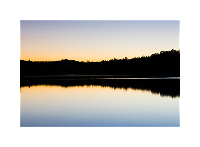
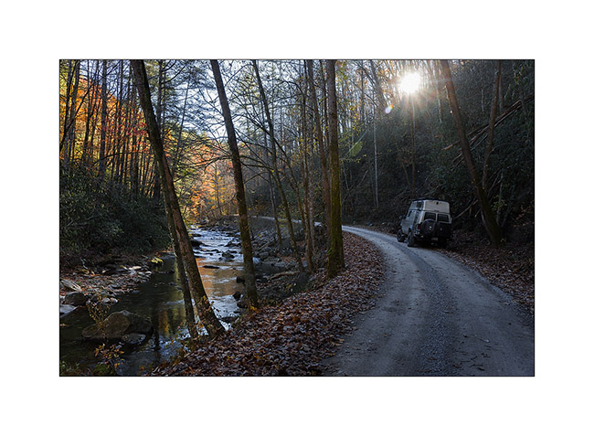
2) Going up the Citico River…
3) Morning atmosphere…
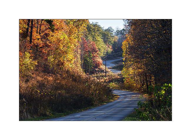
4) Small country road…
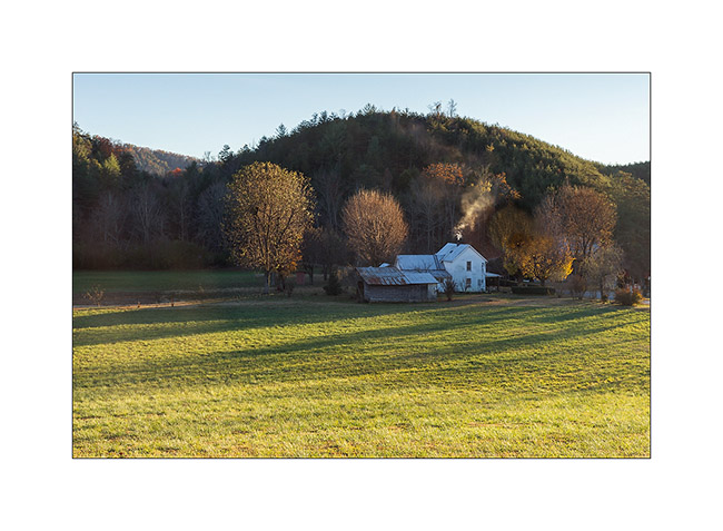
5) Typical house…
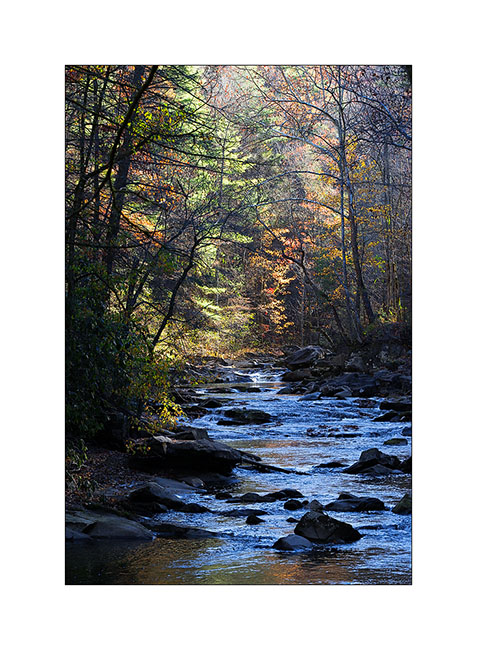
6) Reflections…
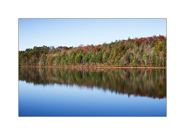
7) Approaching the Skyway…

The Skyway is a kind of Blue Ridge Parkway, a scenic route traced on the ridges, connecting Tennessee to North Carolina. Better than Highway 40 to return to Fletcher! 😉
Tree leaves are now almost fell, the atmosphere is different, more austere…
8) Last colors…
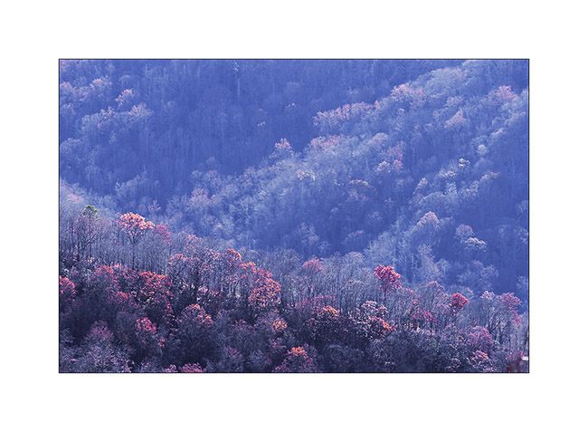
9) Vegetal waves…
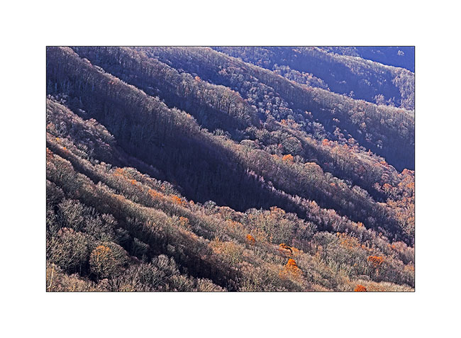
10) This gorgious forest, everywhere…

11) South Appalachian
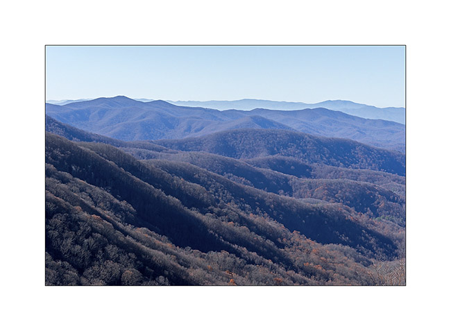
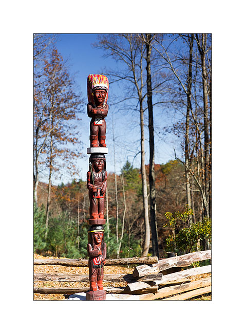
12) In this Cherokee territory, I saw several totems…
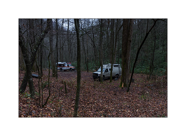
Back to North Carolina, Justin and Heather met me in the forest for a rainy camping week-end…
13) Forest camp…
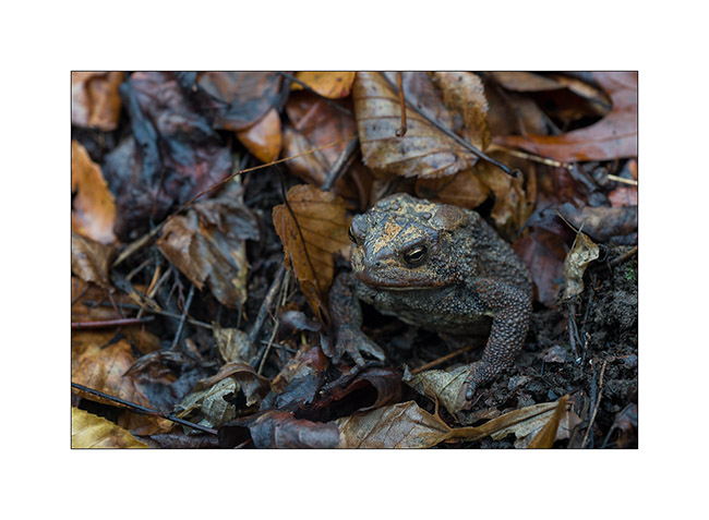
14) In the morning, looking for wood, I saw him looking at me…
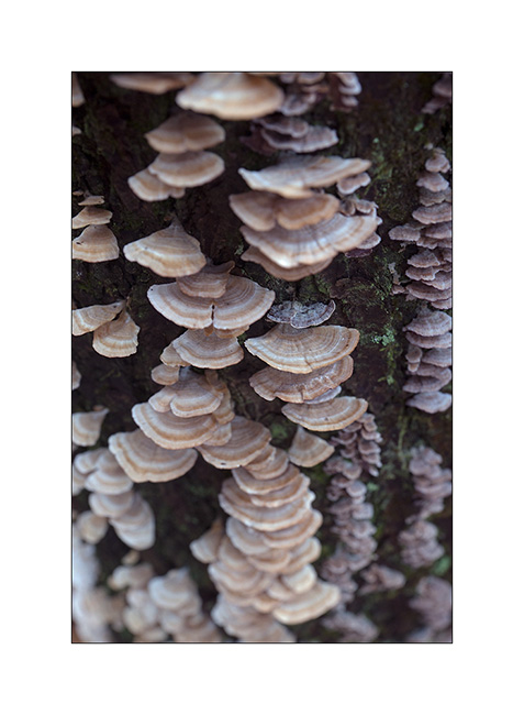
15) Fungus (1)

16) Fungus (2)
And finally, Justin posing in front of our protective fire teepee (it was raining so much!). Done with a few branches and an old air mattress found in the river … On this last image for today, Justin poses casual while raining verses! 😀
17) Justin and the fire teepee!
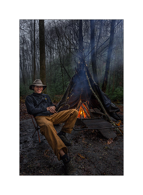
That’s it for today. To be followed with a new trip to Tennessee in a few days… 😉
Hello Tennessee!
As anounced, here is a short return about my last week in Tennessee. I went there to discover two nice natural bridges and two spectacular waterfalls, quite different from the preceding ones, you will see…
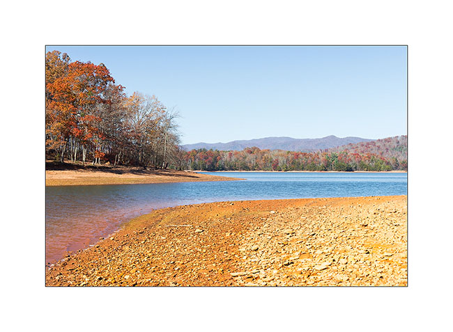
To go there, I drove through extreme western North Carolina and stopped at Catochee Lake, so nice with the last fall colors…
1. Arrival at Catochee Lake…
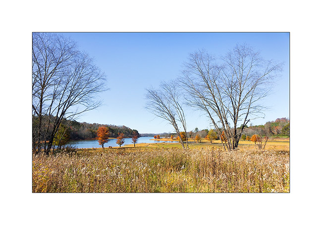
2. … Nobody there in this season…
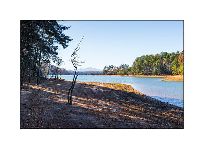
3. … and nice fall colors.
I drove further and arrived late in the night at my camp to be on site for the sunrise on the Sewanee Natural Bridge.
4. To go under the bridge, no other way than crossing it. I say hello, can you see me..?! 😉
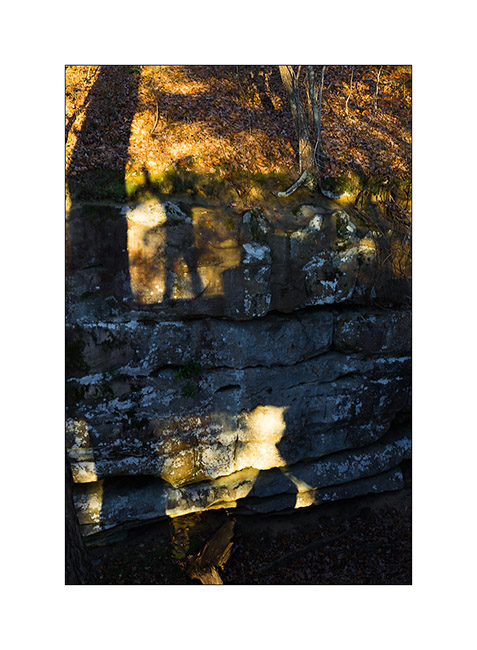
5. Sewanee Natural Bridge (1)
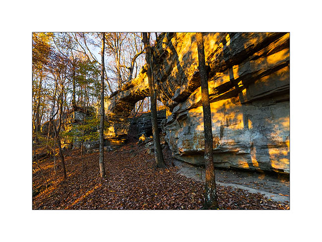
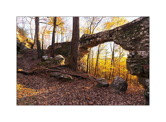
6. Sewanee Natural Bridge (2) : what a wonderful natural bridge!
Then on the way to the second natural bridge, I made the tourist and stopped at the Ruby Falls. This waterfall is in a cave and is 145 feets high! Rare and spectacular at about 1’000 feets under the mountain. It was discovered in 1926 and open to the public in 1936 after a 29 stages elevator was built.
7. Ruby Falls
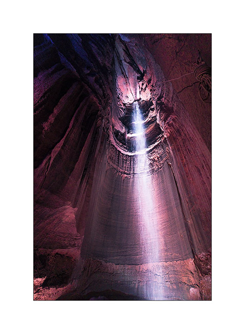
8. The cave we go through tout access to the falls have nice formations.
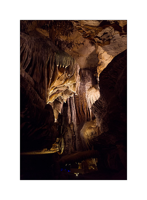
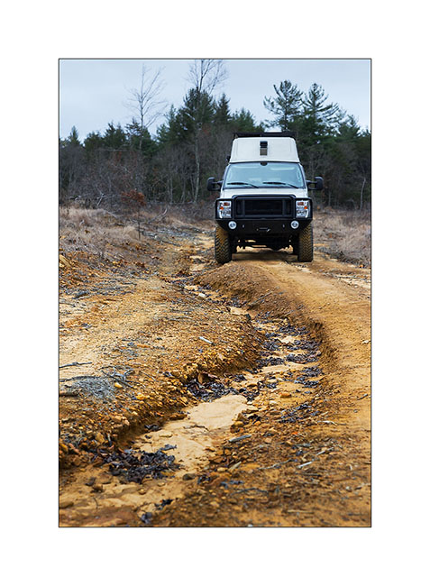
Then I drove again to go discover the Craw Creek Natural Bridge. It wasn’t easy to find an access, the forest road I noticed on my map was closed by a gate. The 10 miles forest road I drove was washed out by thunderstorms in some places but it’s not a problem with VivaLaVida.
9. Forest roads…
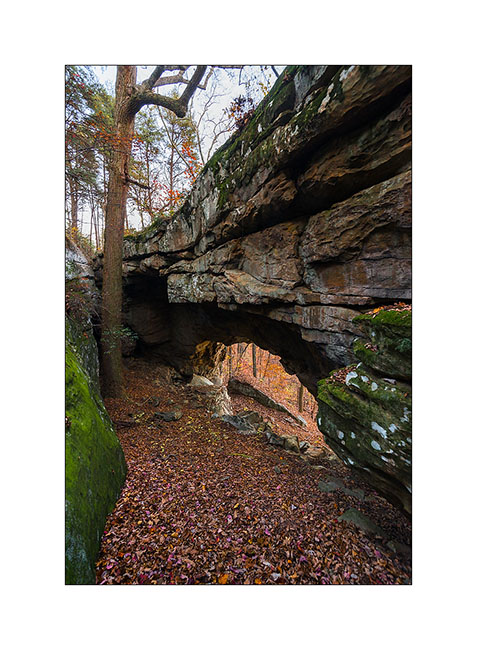
I finally started late for the 2:30 hours hike to go to the bridge. I arrived there as the sun was just disapearing. Light was then difficult…
10. Arrival under the bridge in a steep slope… Rather impressive like that, isn’t it?!
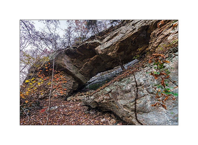
11. Just under tons of rock…
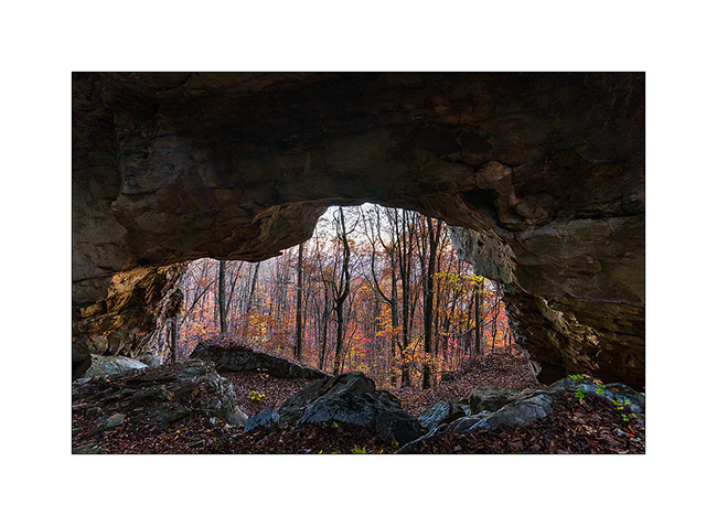
12. A more standard picture taken in very low light.
The hike back was quite unusual, in the night with the only light of my flashlight, in a roaring forest by the strong wind and a temperature of about 40 degrees. I saw my first rattlesnake, dark brown and about three feets long, which desappear when I walked. I was surprised to see one with such low temp.
Another funny story, I saw pairs of small bright spots in the beam of my flashlight, sometimes ten at a time. As I approached to see what it was, I found that it was reflection of my light in the eyes of small spiders that live in dead leaves. I had the impression of being watched from all sides! 😉
But I found back VivaLaVida safely at around 20:30, not without having to use my GPS to find two directions not so easy to find in the dark forest at night ..! I slept there with the feeling of being away from all…
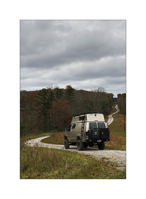
Wake up in the rain and cold with a very low ceiling of clouds … But VivalaVida doesn’t care of that, it led me to a beautiful waterfall by small “dirt roads” found on great topographical maps that the GAIA apps allows me to download (I’m not doing advertising but it is really great!).
13. Dirt roads…
And guess why I went to see the waterfall in particular? … Can you not find it? 😀
It is called “Pinot Falls”! Yeah Caro, I do not know if you have ancestors in Tennessee … 😉
This waterfall is beautiful, nestled at the bottom of a deep ravine, at the end of a steep and really wild trail, jumping off a semicircle cliff. The rain hadn’t left me, so the light was really not optimal but it’s the vagaries of traveling photographer …
14. Arrival at “Pinot Falls”
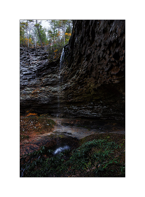
15. Semicircle view…
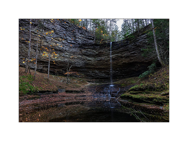
16. Last fall leaves against the cliff…
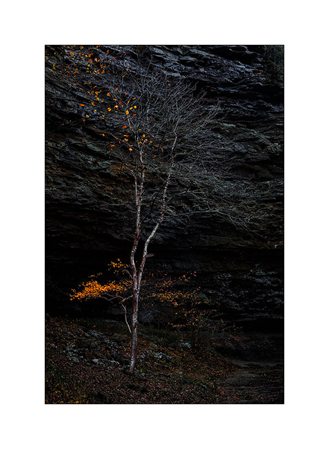
I will present the second part of that Tennessee trip in my next article… 😀
Dupont State Park (NC)
I’m a little behind with the processing of my images… Here is a series I took a few days ago. I went to a nice little State Park allowing access to two beautiful waterfalls, the Dupont State Park. Christian, I didn’t know you’re so well known over here! 😉
1) cold early morning…
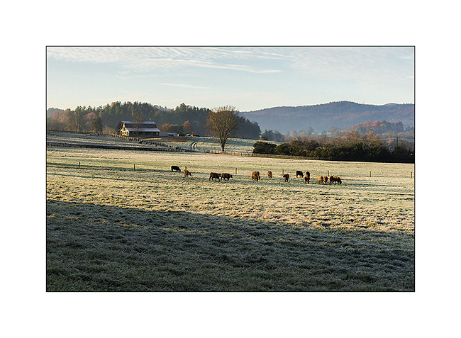
2) arrival at the very beautiful Triple Falls
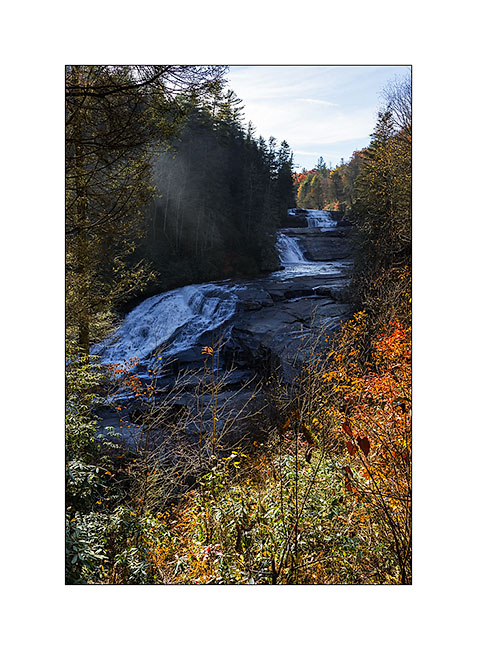
3) the top two jumps
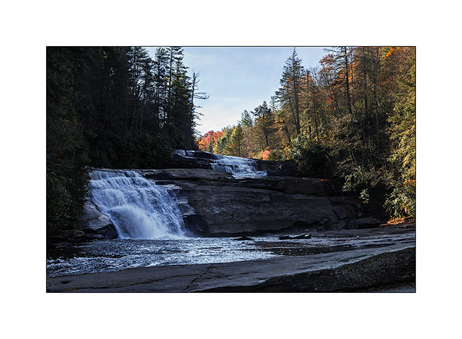
4) upstream, the great High Falls
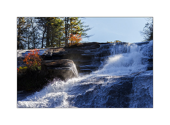
5) liquid sculpture (1)
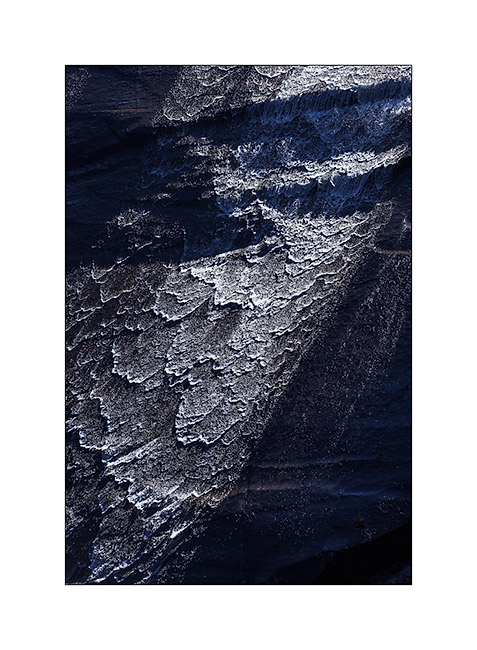
6) liquid sculpture (2)
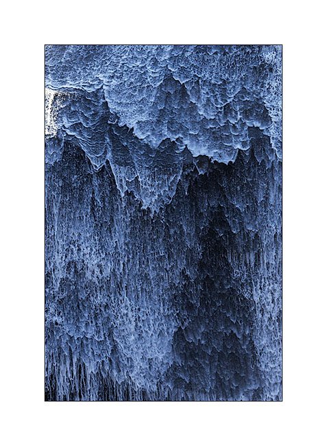
7) liquid sculpture (3)
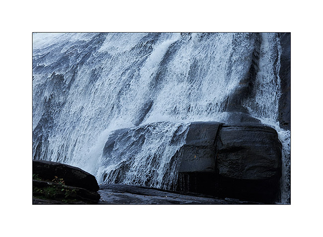
8) contrasts…
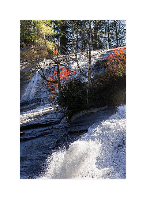
9) overview
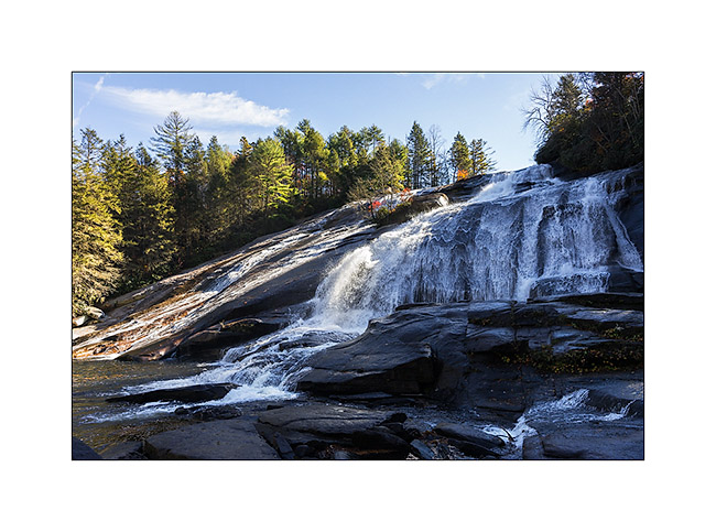
In my next update, I’ll bring you take a tour in Tennessee… 😀
Lake Jocasse (again)
I get back to camp at Lake Jocassee with Cory and Mike, Heather and Justin. Cory and Mike are Swiss, from “Zürcher Oberland”. They are travelling in Bagherra – a Land Rover Defender 2.5 diesel, since almost nine months and are on the way home. Bagherra will take the ship to Switzerland on November 19th… If you want to discover their trip : www.travel-north.com.
They generously gave me their weather radio, a book on fly fishing and their bear spray, many thanks ! 😀
We spent a great evening at our camp fire…
1) Cory
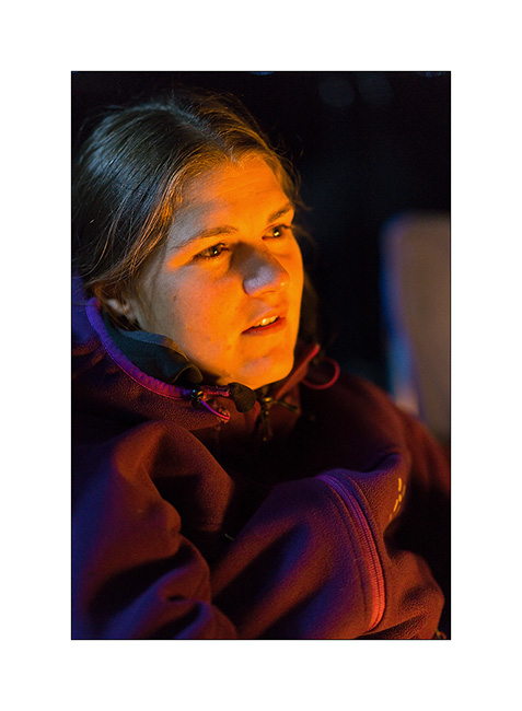
2) Mike
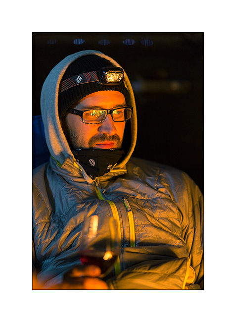
3) Heather

4) Justin
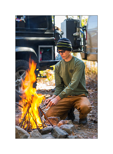
5) à 9) Justin took his canoe and Cory & Mike enjoyed it…
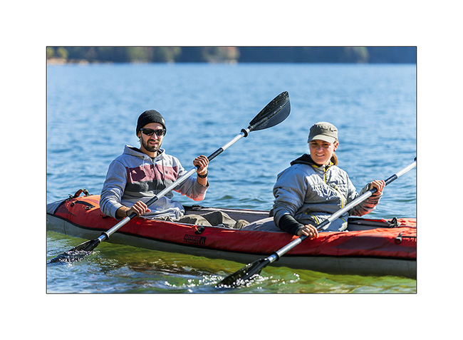
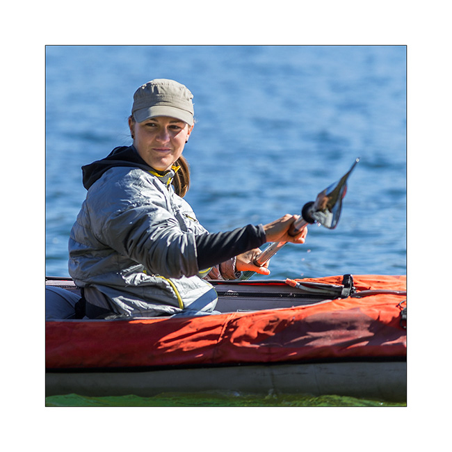
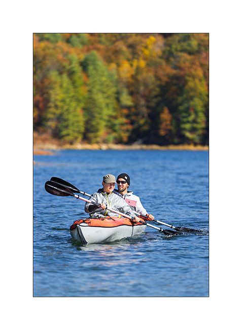
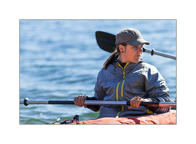
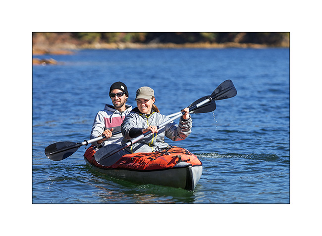
10) Our boondocking site at the lake

They leaved late afternoon to take the way back home…
11) Photo souvenir…
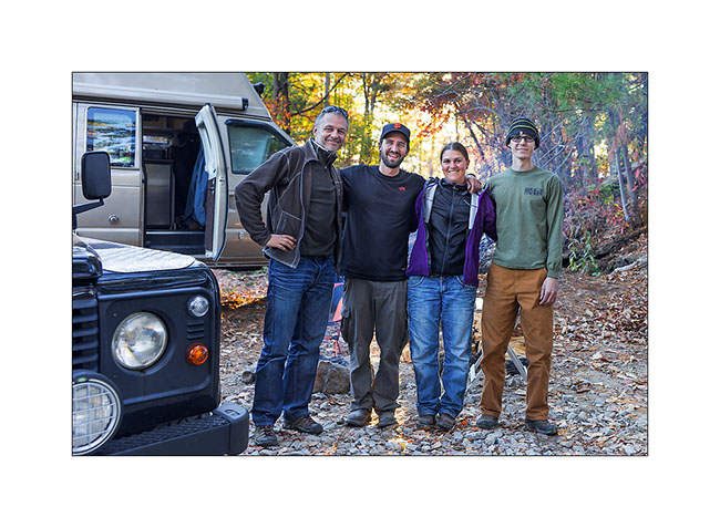
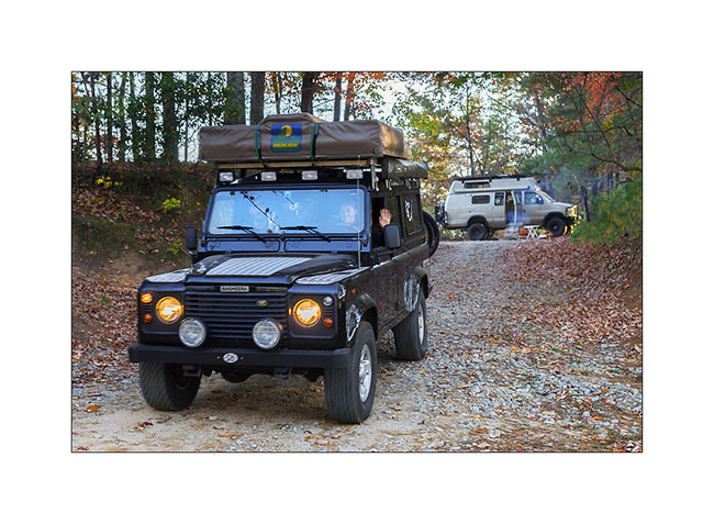
12) Bye bye friends, have a safe trip back home… 😉
13 à 16) I enjoyed a great Sunset at this beautiful lake…
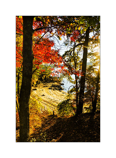
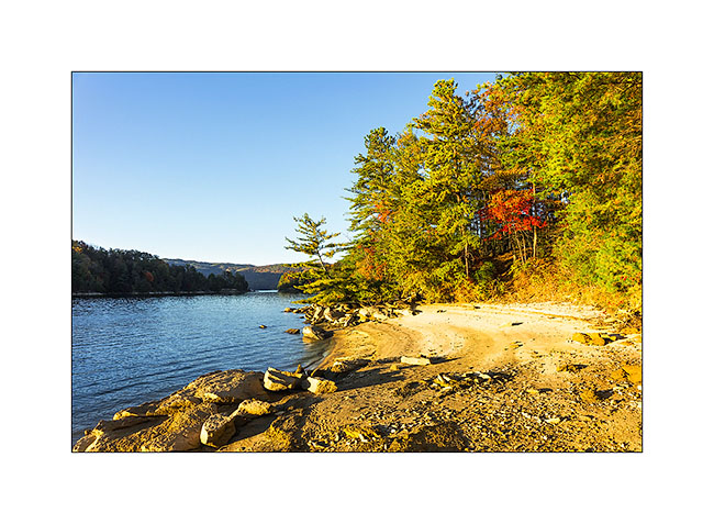
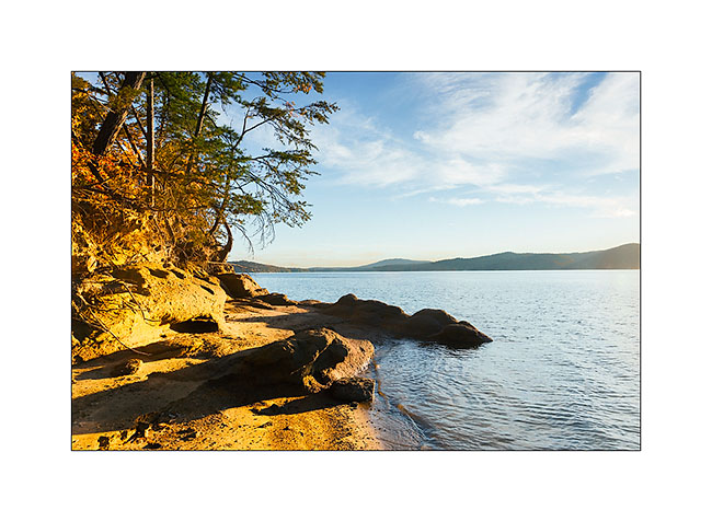
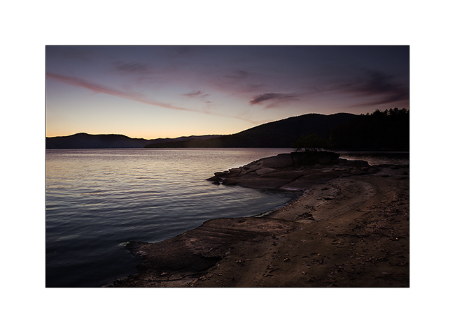
… before to drive to go discover new waterfalls and two natural bridges in Tennessee.
Have a good week! 😉
Lake Jocassee area…
This update is a special dedicace to Janet & Jonathan who adviced me to go discover this area during a great diner together at their house. Remember, it’s the couple I met some weeks ago at North Mills River and who are real friends now, with who I had a great mountain bike ride.
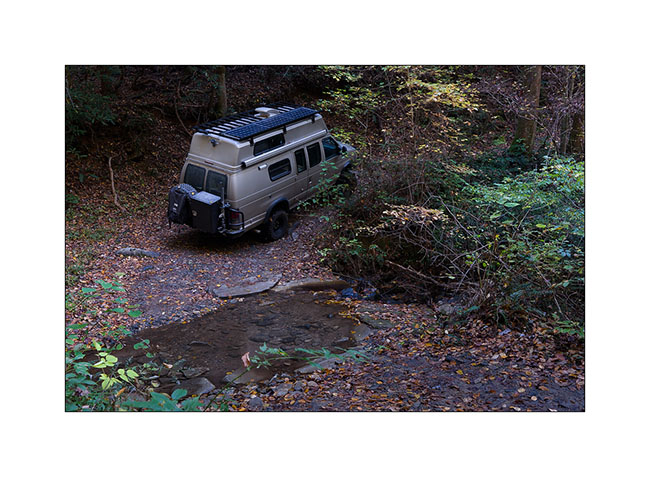
The second very technical track that I mentioned in the previous update was heading to discover the Mill Creek Falls that Janet & Jonathan – I will call them J&J now 😉 – had told me about. Since the season of the canoe rental company was done now, I had to get there by land. By studying the detailed forest service maps, I discovered what appeared to be a dirt road. In fact, it is probably an abandoned forest road, a good ten miles long, climbing steep hillsides to go down on the other side just as steep!
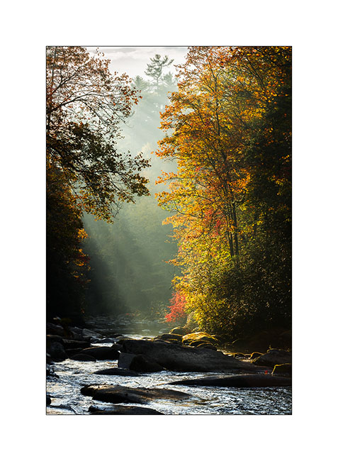
0) Morning light on Horsepasture River
1) Small creek crossing…
2) Banked turn…
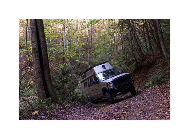
It took me almost three hours to go 7 miles – crossing South Carolina border – before being stopped by a large fallen tree in the way that I couldn’t cut with my handsaw. So I took the bike to continue but after 2 miles pushing and carrying more than riding it, I left it to continue on foot. The last 2.5 miles held more rainforest than anything else as the vegetation was so dense. Without machete, I took almost two hours to finally arrive to the lake, without open area to photograph the waterfall falling in the lake. So I took off my hiking shoes and got wet feet for taking what is really not my best picture! But I post it anyway for Janet & Jonathan… 😉
3) Mill Creek Falls
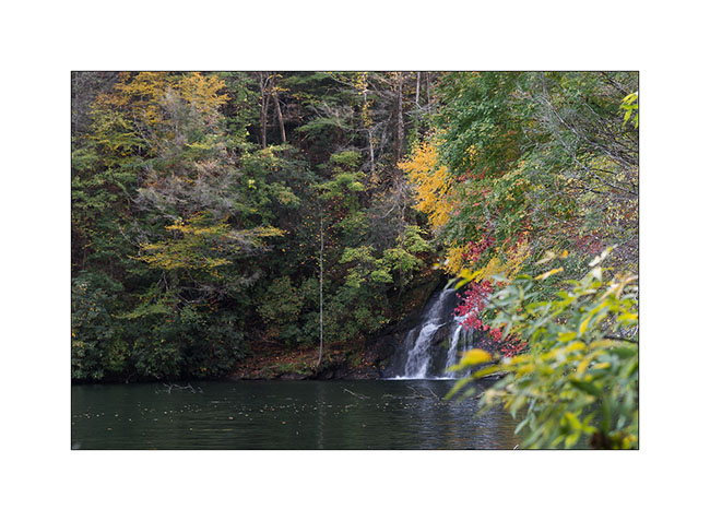
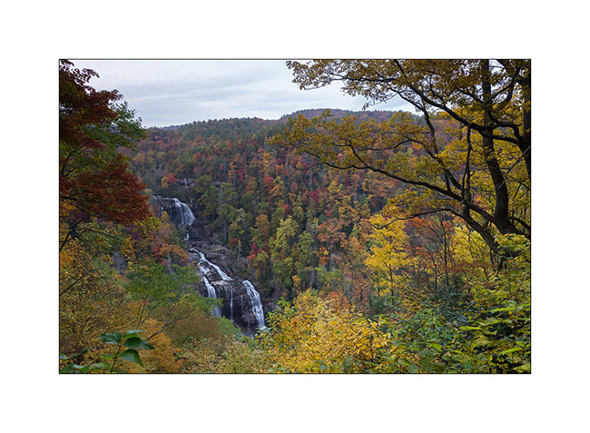
The way back was just as long and I was out of the forest late afternoon. I still did a short stop beautiful Whitwater Upper Falls, with the advantage that Sunday evening, I was almost alone there…
4) Upper Whitewater Falls
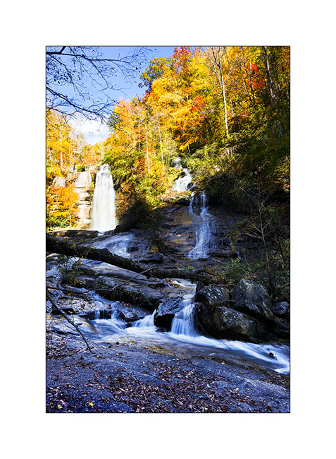
The next day I continued exploring the surroundings of this beautiful lake. First by visiting the pretty nice Twin Falls…
5) Twin Falls
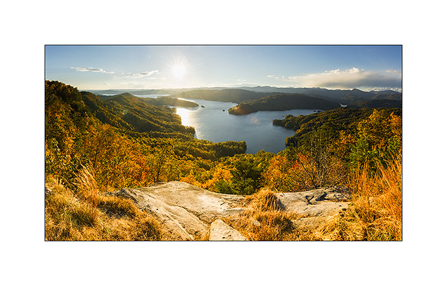
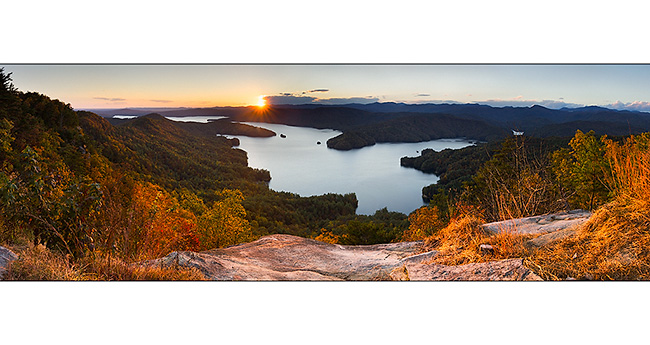
Then taking a new forest road way more accessible than the previous one, reaching one of the only open promontory of the area as the forest is everywhere, named Jumping-Off Rock. The sighting of the Lake Jocassee is just gorgious and I pulled the pan head to show it to you in two panoramas taken about fifteen minutes apart…
6) & 7) Lake Jocasse from Jumping-Off Rock
Having slept close, I went back there the next morning and it was freezing…
8) Lake Jocasse
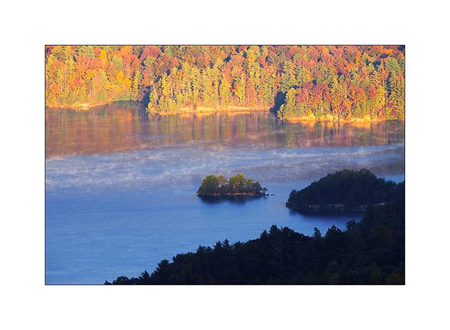
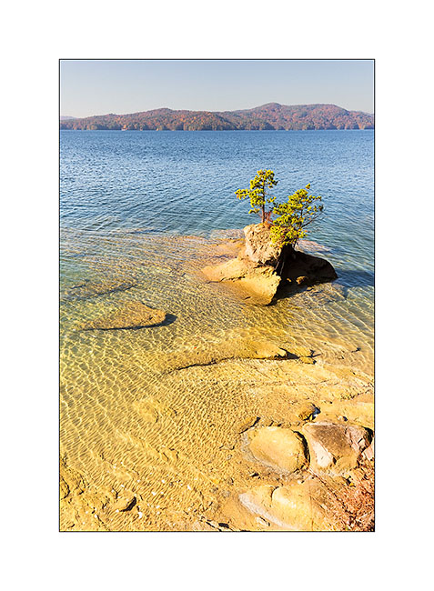
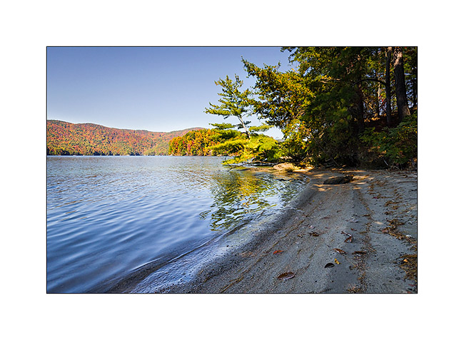
Still thanks to the USFS maps downloaded on my iPad, I spotted a trail down to the lake, at the end of a peninsula. I discovered a small very nice beach here…
9) Last land of the peninsula!
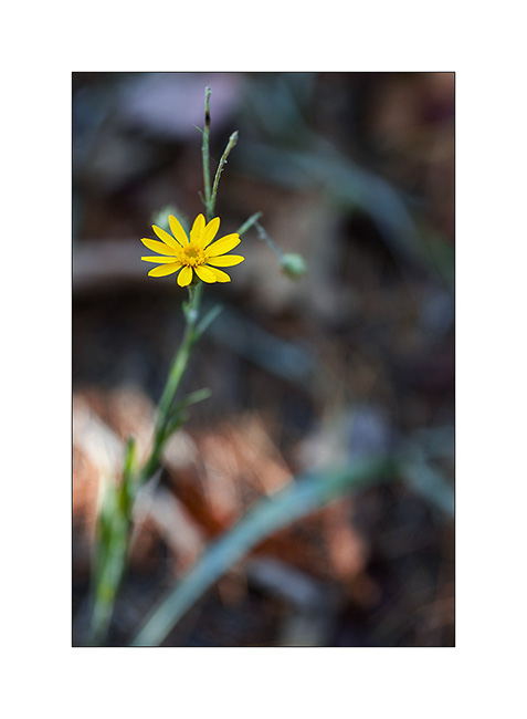
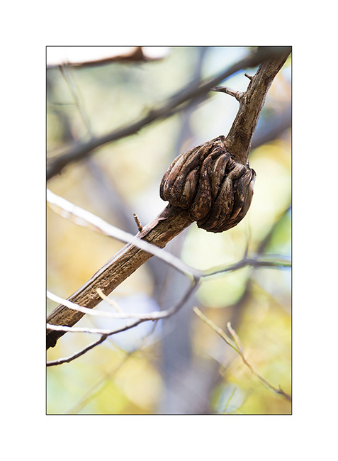
10) & 11) Vegetal…
12) Small hidden beach…
That’s it for my small Jocasse trip. I will show you other waterfalls in my next update… 😀
Thanks to all who follow that blog – and for the comments you write; I really enjoy to read them after each update… 😉
See you soon
PS : I almost forgot: Janet makes the best brownies I’ve ever eaten! Yes, you can be jealous… 😉

 D5 Creation